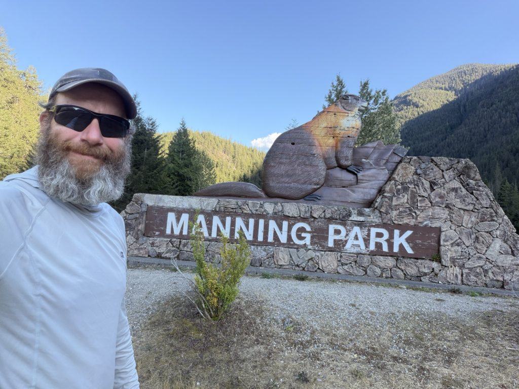
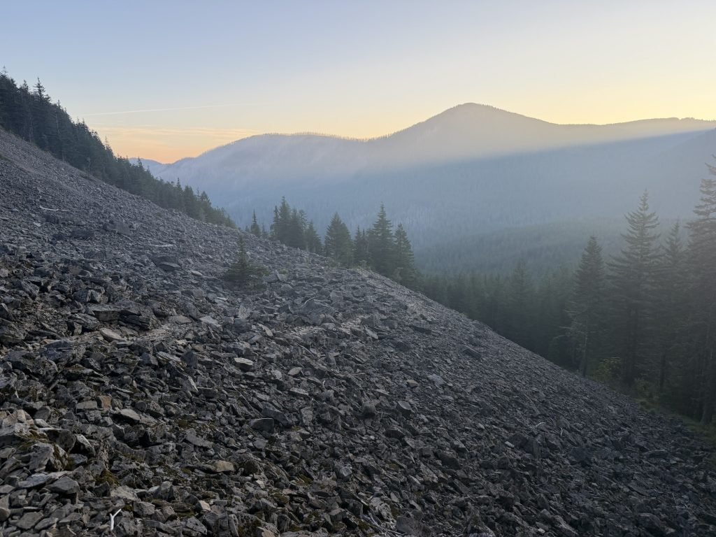
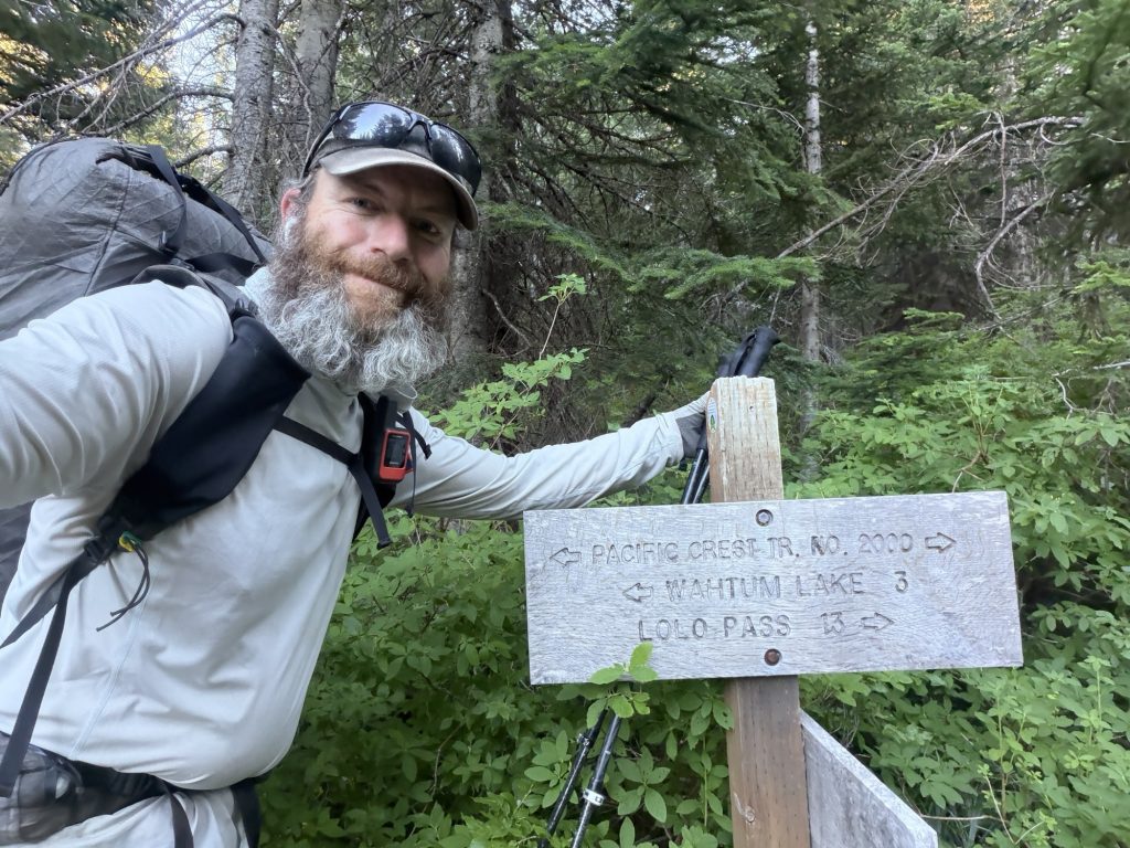
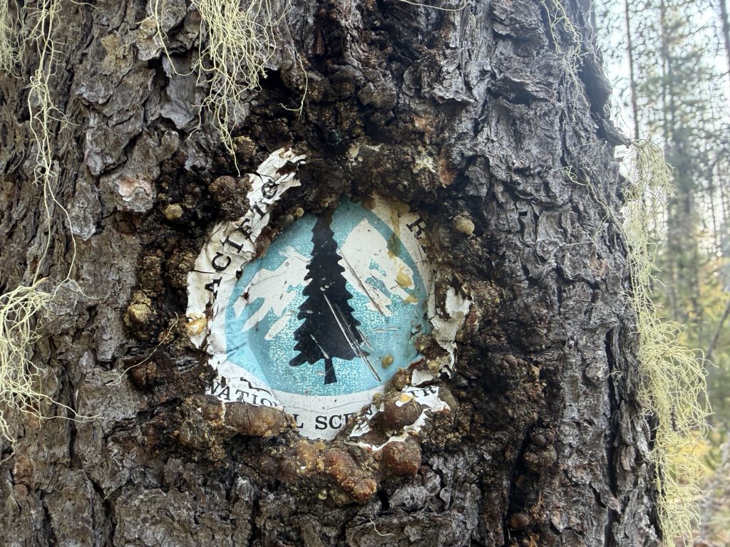
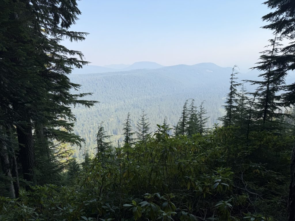
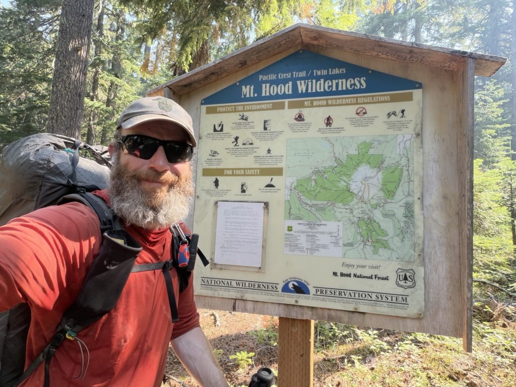
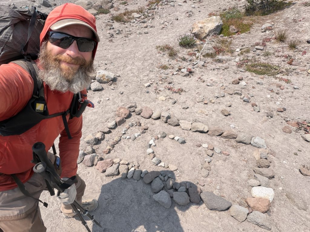
Apparently the Pacific Crest Trail wasn’t quite finished with me yet.
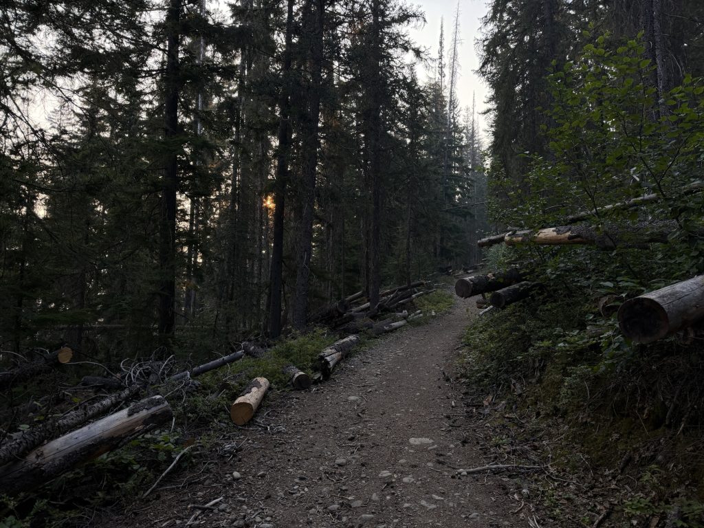
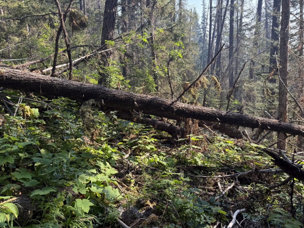
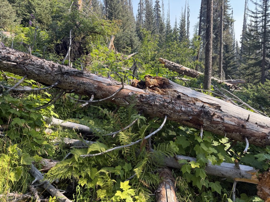
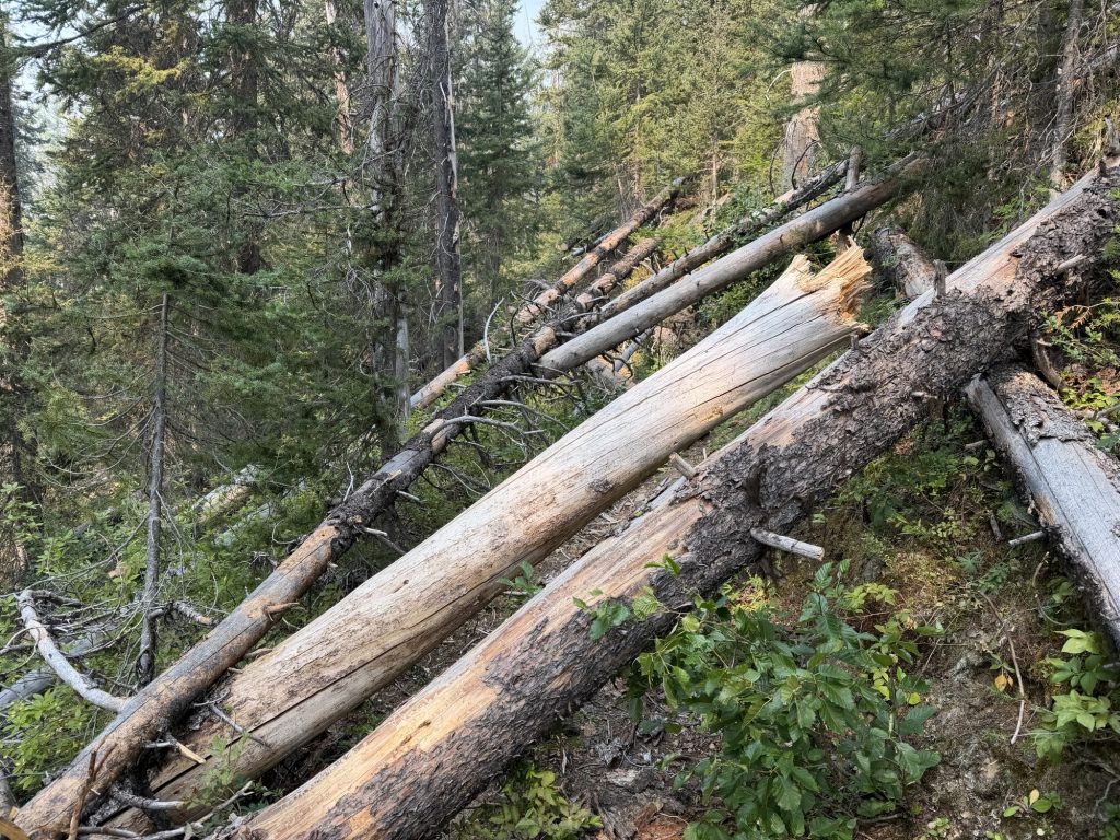
My hike back to the car from the Northern Terminus was mostly uneventful, although navigating the seemingly endless blowdowns eventually got the better of me. While climbing around one of them, a branch snapped back and hit me directly in the eye.
It hurt, but at the time it didn’t seem like a particularly big deal. I still had miles to hike back to the car, so I did what I’d become pretty good at over the last four months—I kept walking.
That night I woke up with my eye incredibly painful, swollen and constantly tearing. Something was clearly wrong. Instead of getting a good night’s sleep before continuing my travels, I found myself making a middle-of-the-night trip to the emergency department in Hope, British Columbia.
Because apparently hiking 1,830 miles, quitting the PCT, travelling to another country and bushwhacking my way through hundreds of blowdowns just to reach the Northern Terminus wasn’t enough excitement for one week.
Thankfully, after getting my eye looked after and determining there was no serious damage, I was able to continue with the final item on my PCT itinerary.
PCT Days.
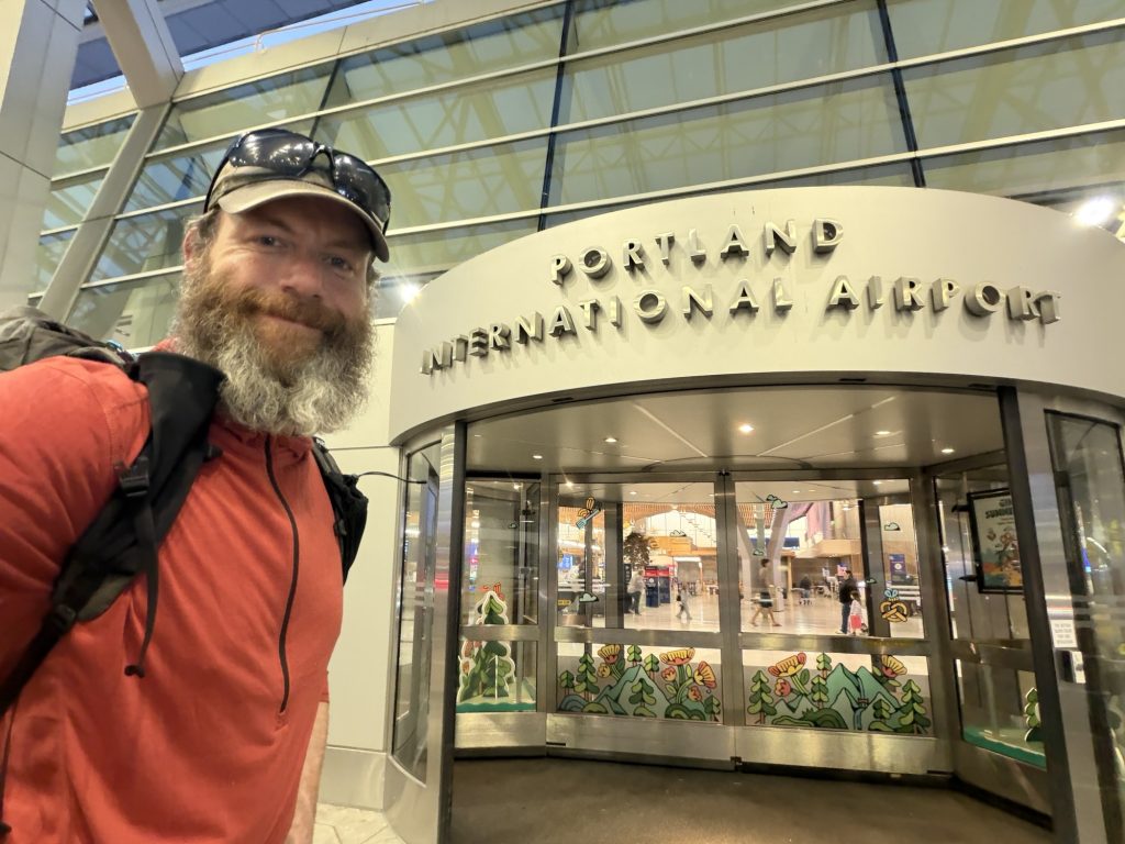
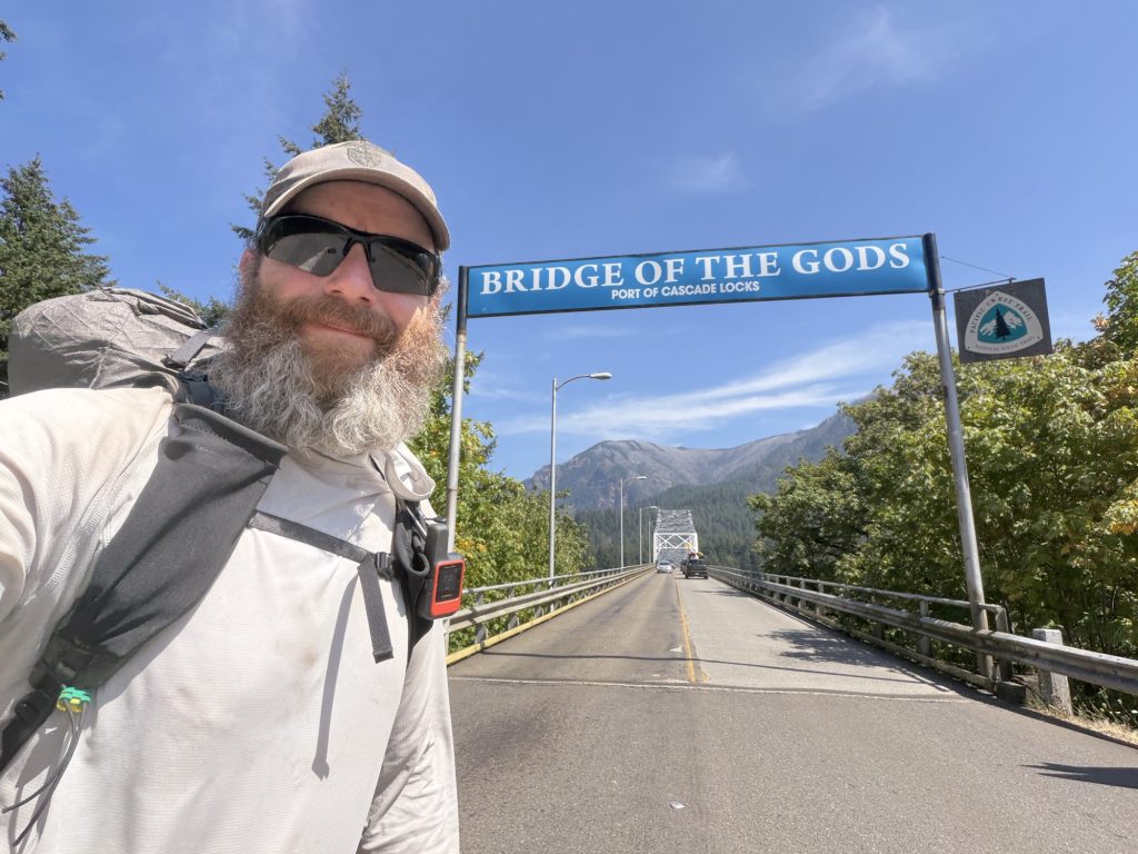
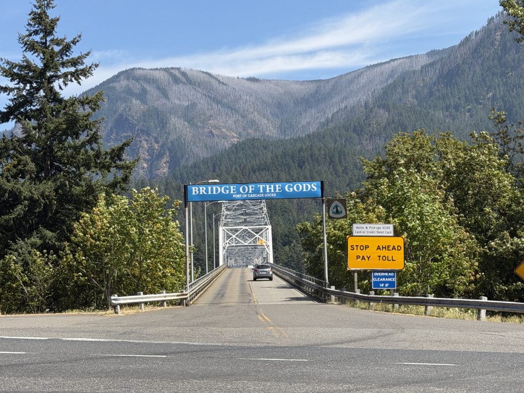
I’d crossed the Bridge of the Gods only a few days earlier knowing that my northbound hike was finished. Then I’d travelled all the way to British Columbia just so I could hike south and finally stand at the Northern Terminus I’d dreamed about for more than a decade.
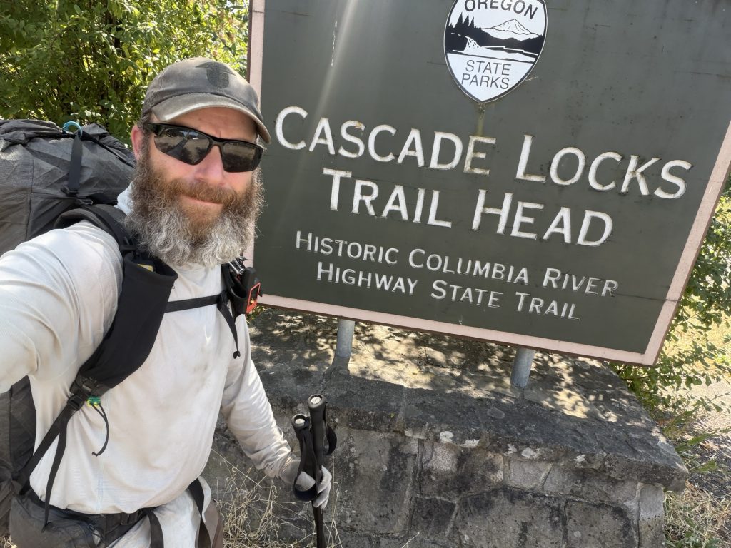
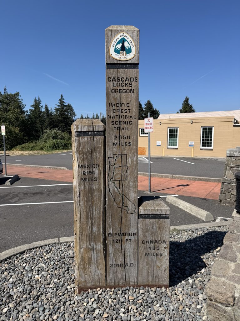
Now I was heading back to Cascade Locks one last time.
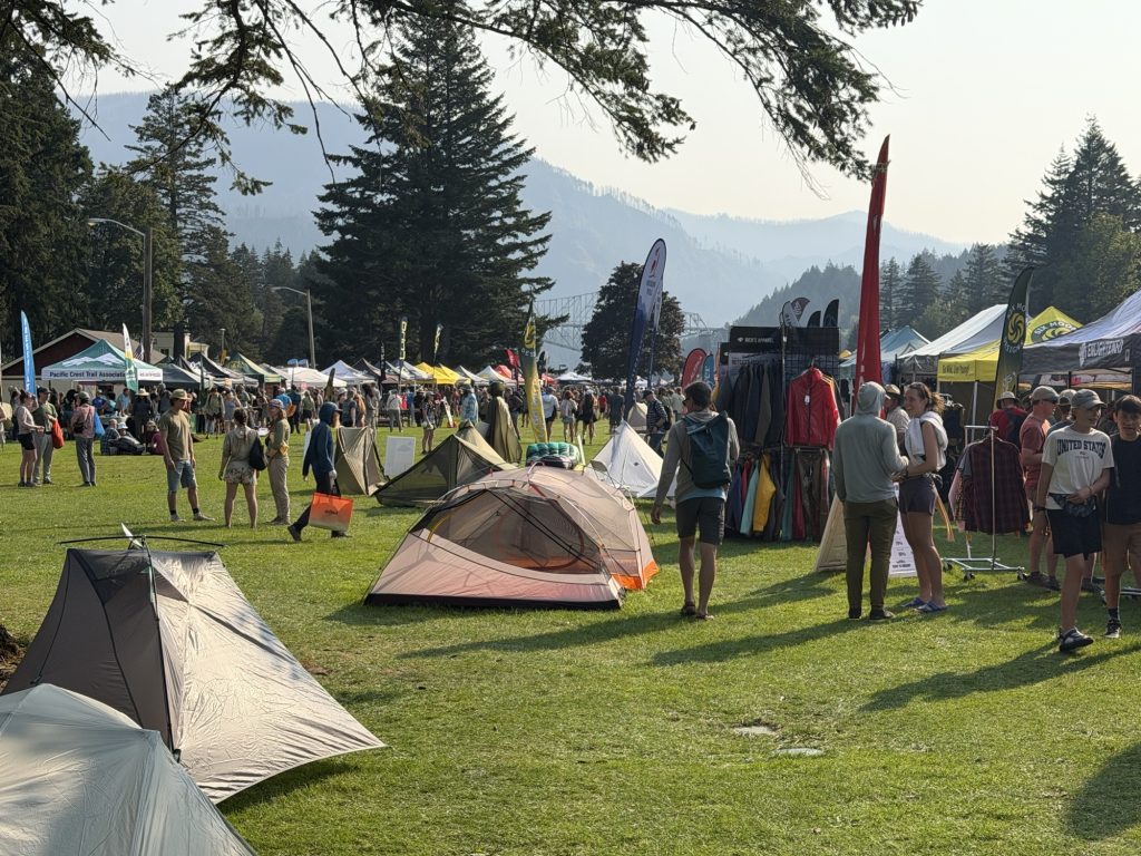
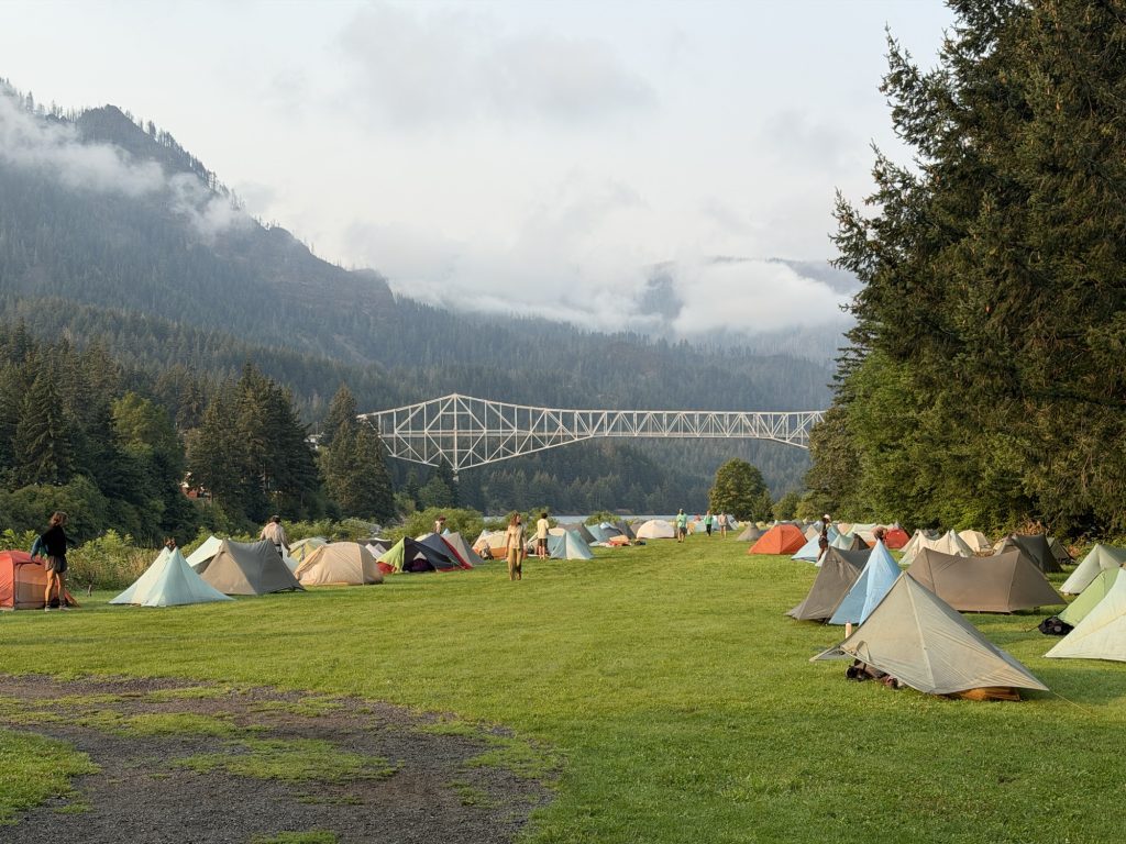
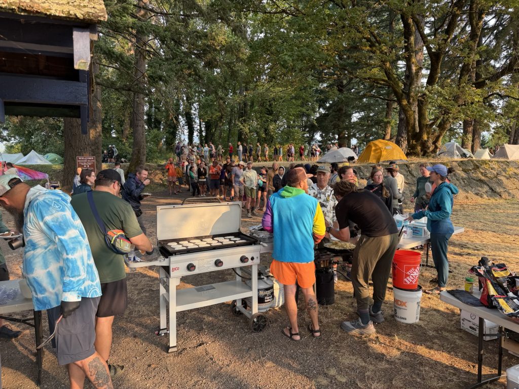
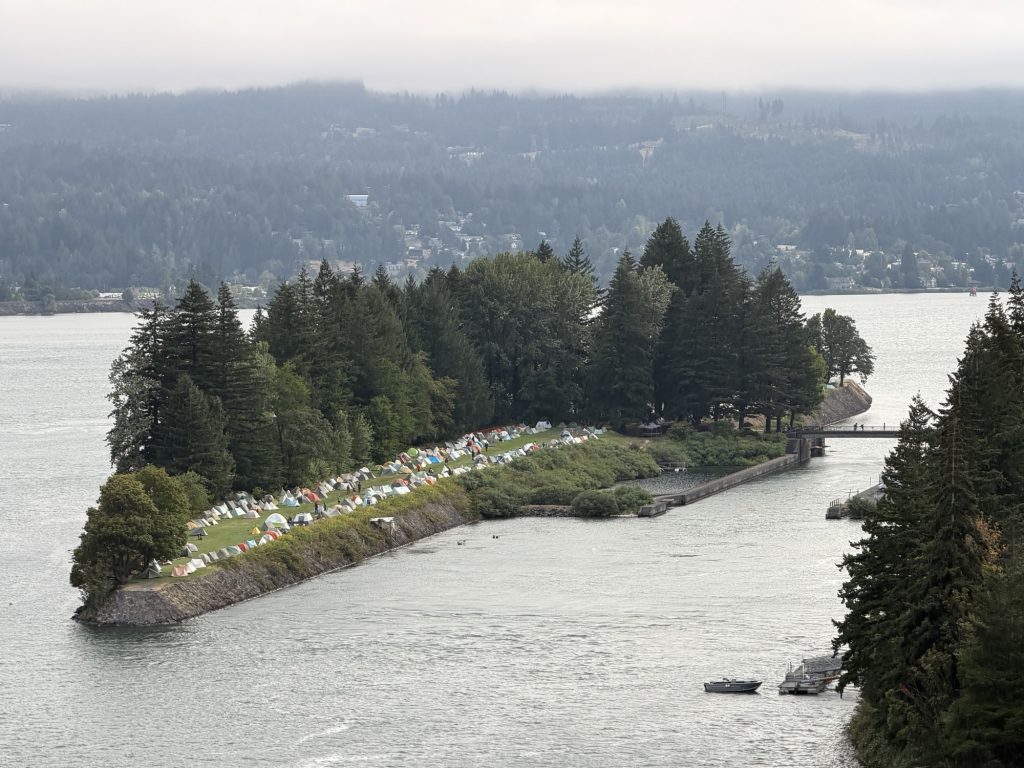
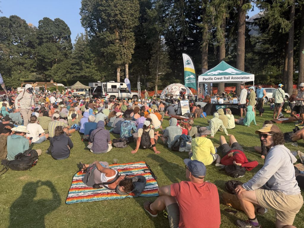
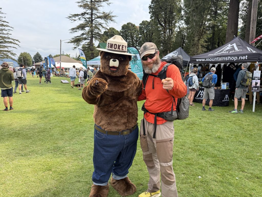
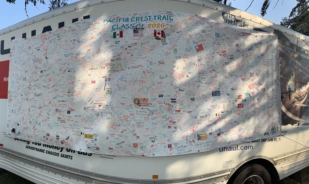
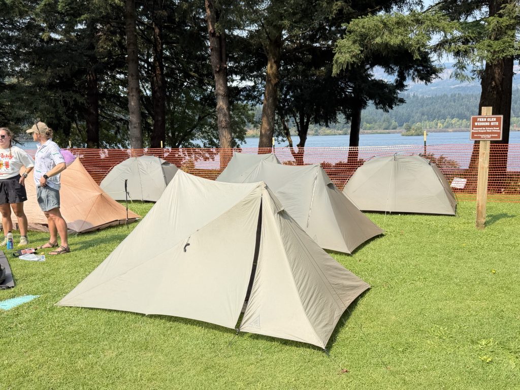
PCT Days is an annual gathering of hikers, gear companies, trail organizations and pretty much anyone else connected to the Pacific Crest Trail. For a few days, the small town of Cascade Locks becomes completely overrun with exactly the kind of dirty, smelly hiker trash I’d spent the last four months surrounded by.
It felt strangely like coming home.
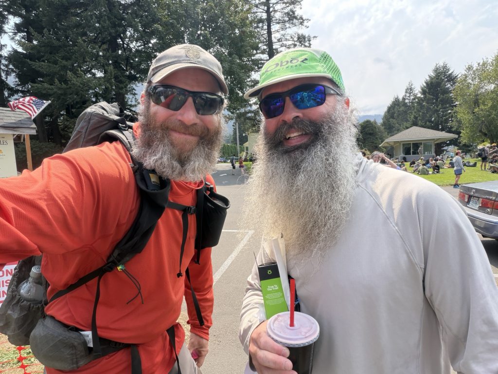
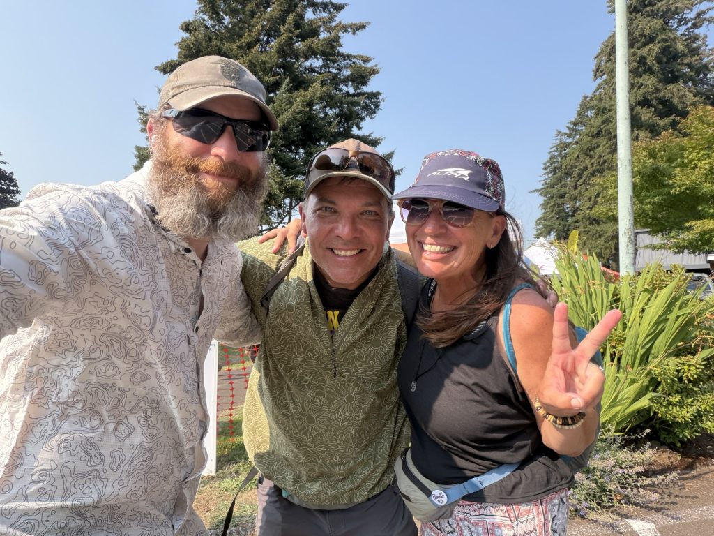
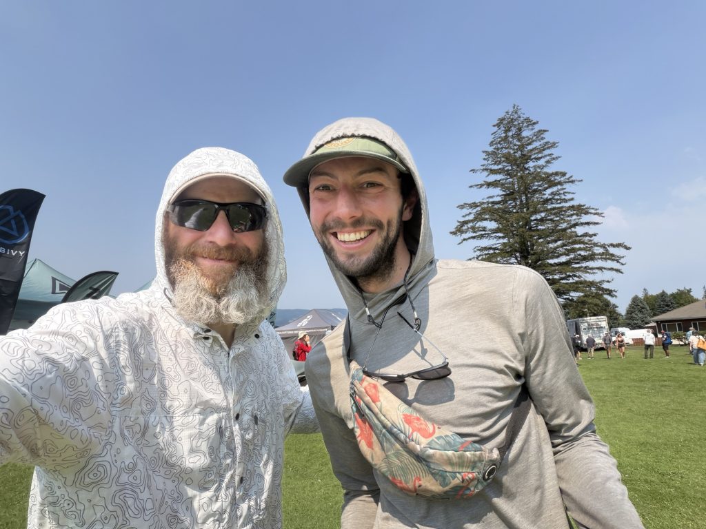
After so many lonely miles through Oregon, suddenly there were hikers everywhere. Some were people I’d met hundreds or even thousands of miles earlier. Others I’d passed briefly, shared a campsite with, seen around town or simply recognized from somewhere along the trail.
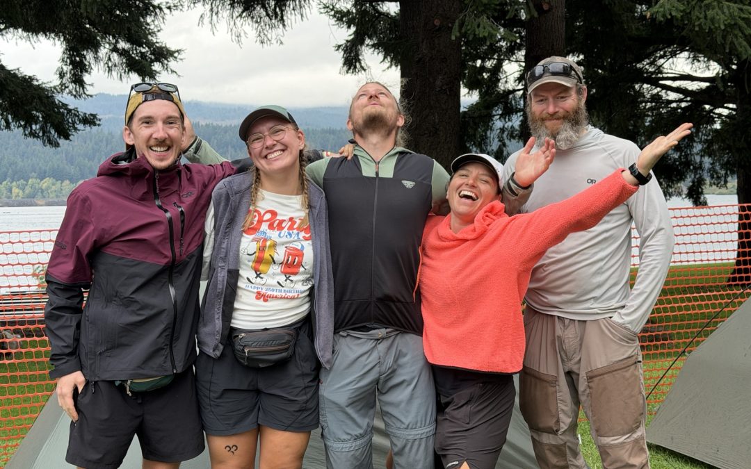
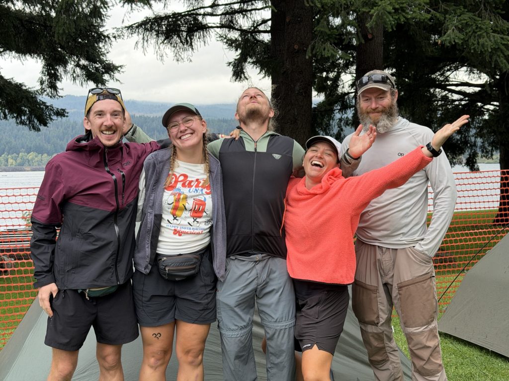
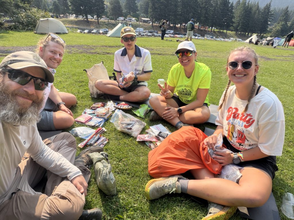
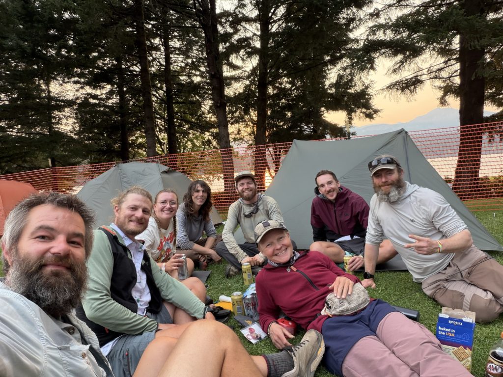
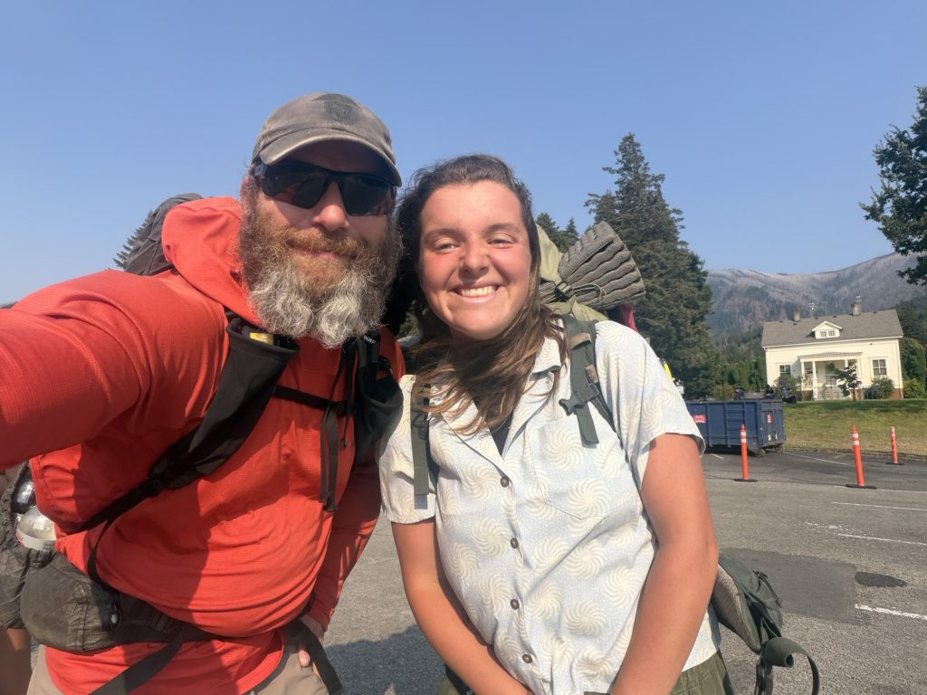
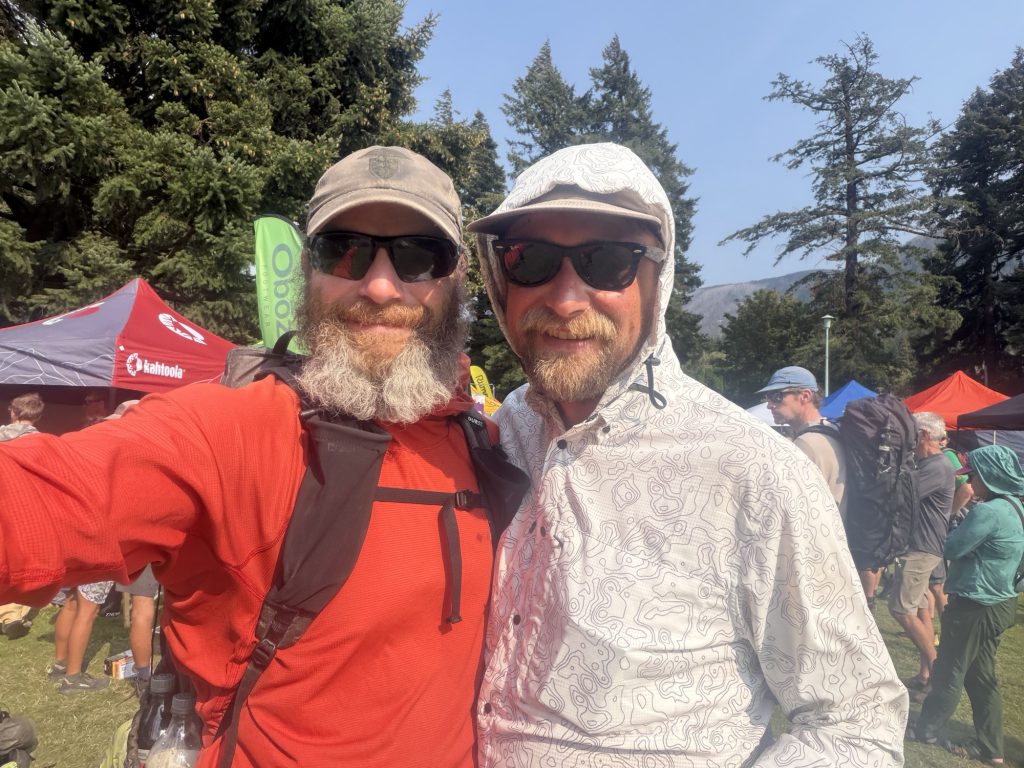
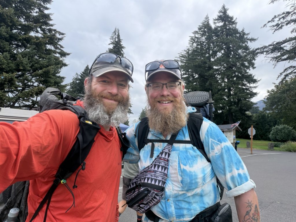
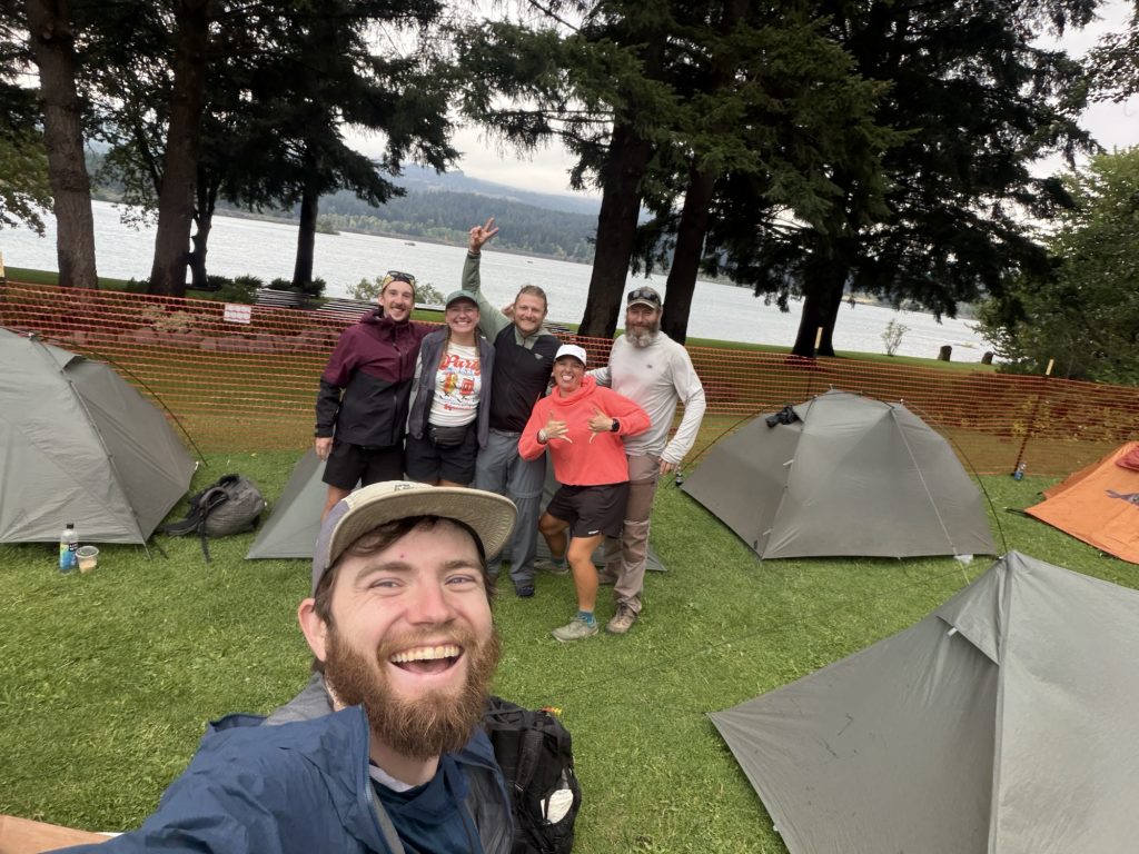
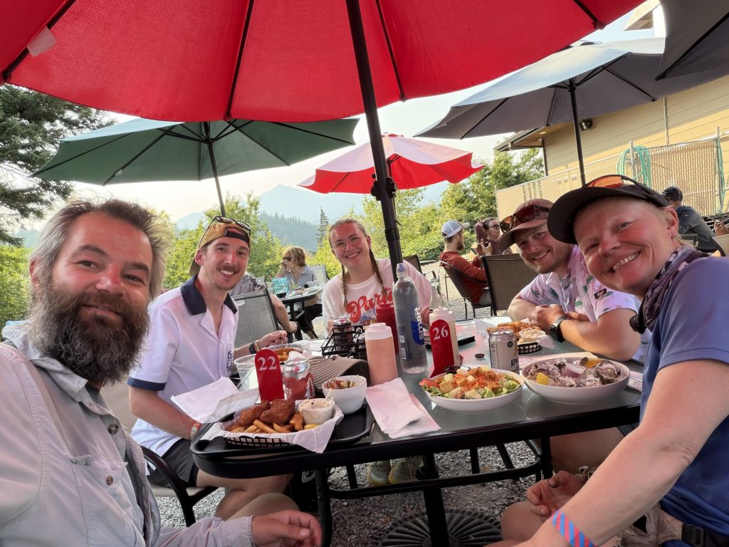
Best of all was seeing some of the people who had become such an important part of my journey. I was reunited with High Stakes, Sage, Pinecone and Alligator—my original trail family who I first met way back outside of Cedar Glen. It felt like another lifetime ago. We had all travelled so many miles and had so many different experiences since those early days, yet somehow here we were together again in Cascade Locks.
I also got to see Yukon and ReRoll, who High Stakes and I had hiked through much of the Sierra with. There was something pretty special about seeing familiar faces from those earlier chapters of the trail all gathered in one place again. These were people I’d shared miles, campsites, meals, difficult days and some incredible moments with. On a trail where people are constantly moving at different speeds, taking zeros, skipping sections or disappearing ahead of you, you never really know when a goodbye might be the last time you see someone.
Getting to see so many of the amazing people I had met on trail one more time made PCT Days feel like the perfect way to close this chapter.
There were stories about fires, injuries, skipped sections, trail closures and plans for getting through Washington. Everyone’s hike had unfolded differently, but we all understood something about each other’s experience that would probably be difficult to explain to anyone who hadn’t lived it.
For most of them, PCT Days was just a break. Soon they’d put their packs back on, return to the trail and continue their journey.
I wouldn’t.
I wondered if watching everyone else continue would make me question my decision. Maybe being surrounded by hikers still chasing Canada would make me wish I was going with them.
It didn’t.
If anything, being there made me more comfortable with the decision I’d made. To make the trail conditions worse a third closure in Washington due to the Miners fire occurred during the event. Now approximately 1/4 of the trail in Washington is closed due to wild fires.
I could have kept walking. I just didn’t want to anymore. And I’m finally okay with that.
PCT Days gave me an opportunity I didn’t realize I needed: the chance to say goodbye.
Not just to the trail, but to the strange little world I’d been living in since April. The trail names. The hitchhiking. Trail angels. Resupply boxes. Eating ridiculous amounts of food and my three chocolate bar a day diet. Sleeping in the dirt. Talking about water sources like they’re major tourist attractions. Meeting complete strangers and somehow becoming friends within a few miles.
For four months, that had simply been my life.
Now it wasn’t.
Four months ago, the Pacific Crest Trail was a line on a map that I’d dreamed about for more than a decade.
Now it’s Campo and Mount San Jacinto. The desert and the Sierra. Snow-covered passes and endless forests. Crater Lake and Mount Hood. Trail towns, hotel rooms, water caches and over a hundred nights beneath the stars.
It’s the people who walked beside me, the strangers who helped me, the people back home who encouraged me and the thousands of little moments that will probably come back to me unexpectedly for years.
It’s 125 days.
It’s 1,830 miles.
An epic side quest to Canada
And it’s one hell of a story.
I didn’t finish the Pacific Crest Trail.
But somewhere between Mexico, the Bridge of the Gods and a monument on the Canadian border, I finished my journey.
PCT Day 125 + 3 – PCT Northern Terminus via EC Manning Provincial Park, BC
August 11, 2026
Total PCT miles: 0
Non PCT miles: 17.7
Total: 16 miles / 28.5 km
Total elevation gain: 3038 ft
Total elevation loss: 3038 ft
Steps: 40922
Remaining Distance: 0 miles
For more than a decade, I’ve dreamed about hiking to the Northern Terminus of the Pacific Crest Trail.
I always imagined I’d approach it from the south. I’d thru-hike the trail, cover those final few miles, and eventually seethe Northern Terminus appear through the trees after hiking all the way from Mexico.
That isn’t how things worked out.
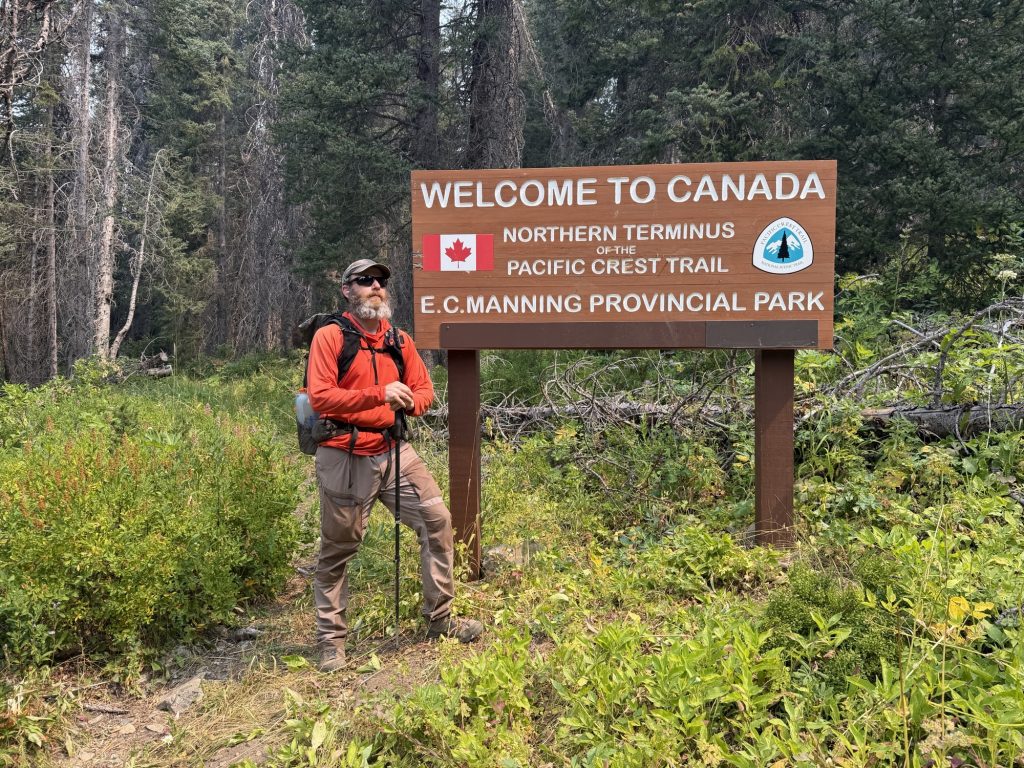
The PCT north of the Bridge of the Gods is currently broken up by multiple wildfire closures, and the trail leading to the Northern Terminus itself is closed because of the Ptarmigan Fire. I’d already made peace with ending my northbound hike at the Bridge of the Gods.
But I wasn’t ready to give up on seeing the Northern Terminus. If I couldn’t hike north to it, I’d hike south. I wasn’t going to let this opportunity pass me by.
Getting to Canada
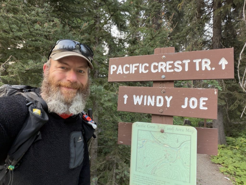
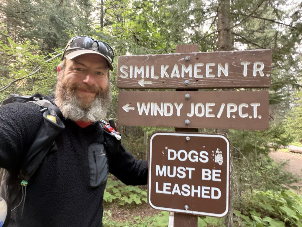
After leaving Cascade Locks, I travelled back to Portland and started figuring out how to make this happen. I called E.C. Manning Provincial Park and confirmed that the Canadian approach to the border was still open via the Windy Joe and PCT trail. They warned me there was a considerable amount of windfall.
After hiking more than 1,800 miles, a few fallen trees didn’t sound particularly intimidating.
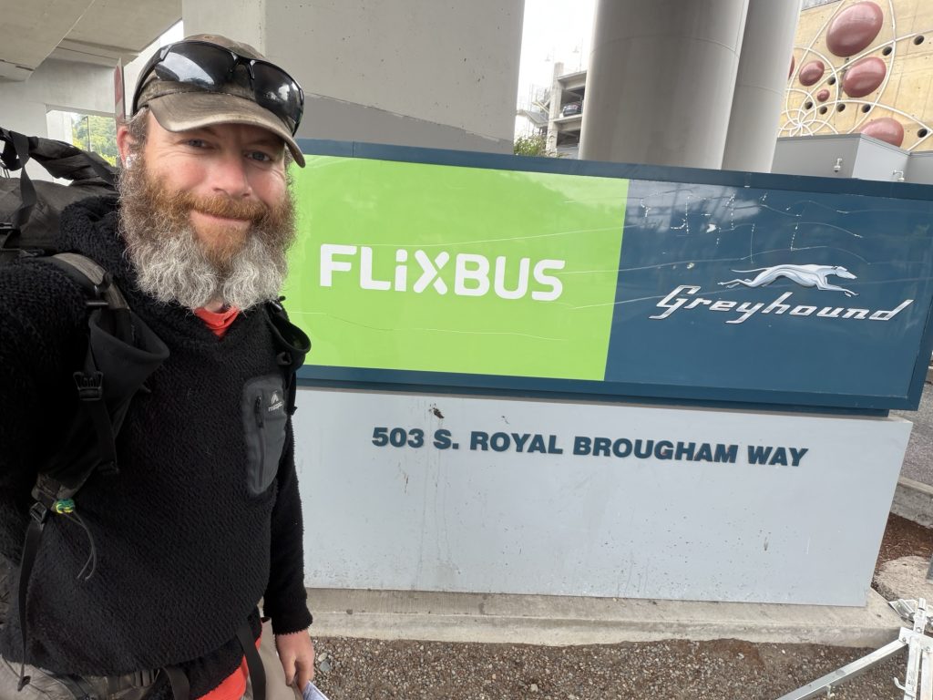
The following morning I left Portland at 6:00 a.m. on a Greyhound bus bound for Canada. Things immediately became more complicated when my connecting bus in Seattle simply didn’t show up. Communication from Greyhound was terrible, and suddenly about 50 people were all trying to reach the same customer service line to get rebooked.
Rather than wait and hope there would still be a seat available by the time I got through, I bought another ticket on the next bus.
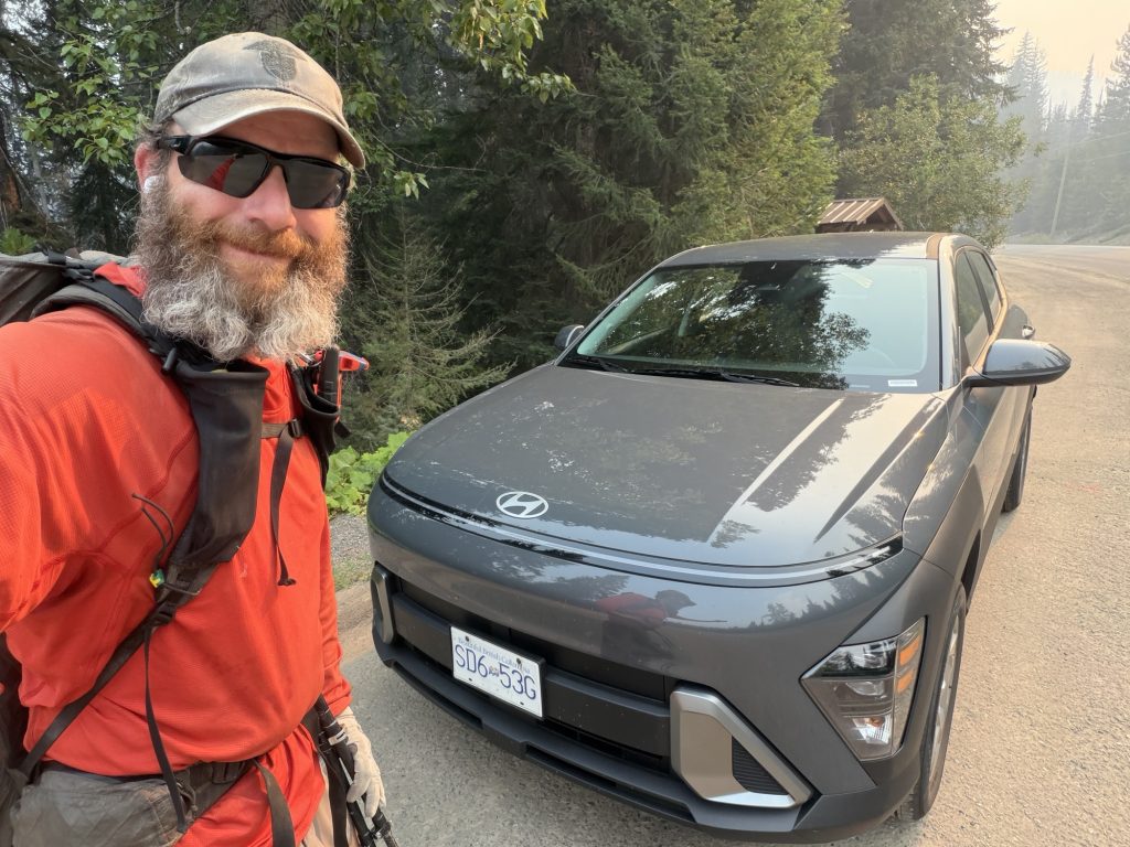
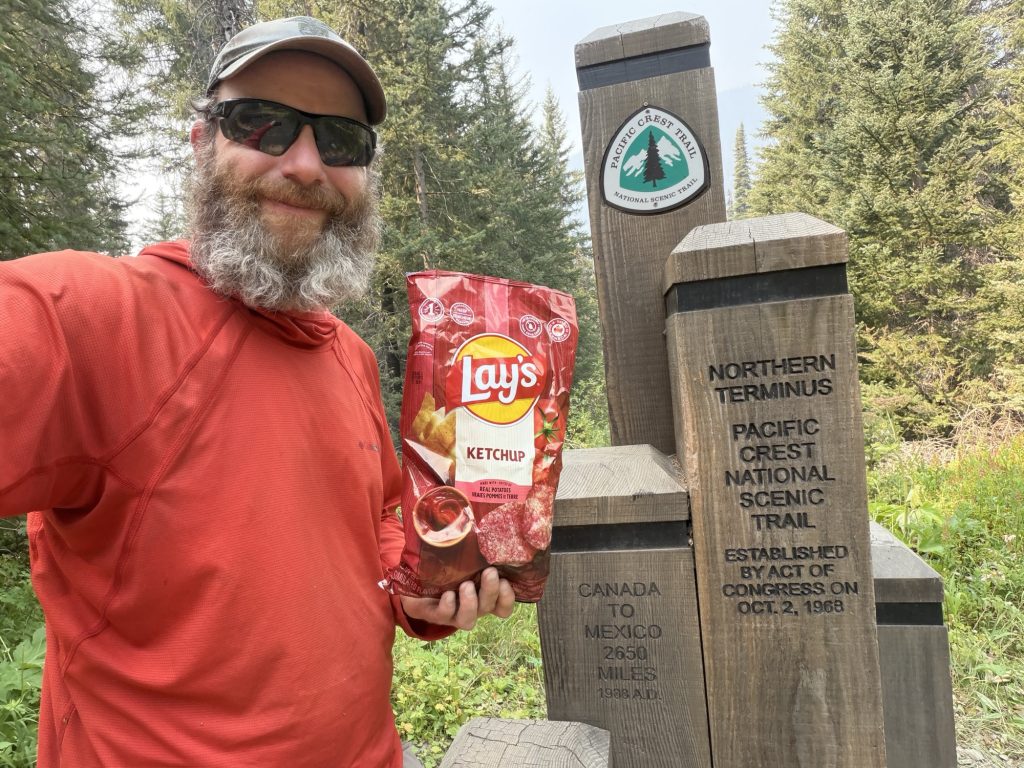
It worked, barely. I arrived in Vancouver with less than 30 minutes to spare before the car rental office closed. From there I grabbed the car, stopped at Walmart for food and snacks, obviously including ketchup chips. I also picked up a small bottle of champagne.There was something satisfying about putting that bottle in my pack.
I spent the night sleeping in the car at a rest area before driving the final hour to E.C. Manning Provincial Park the next morning.
One More Hike
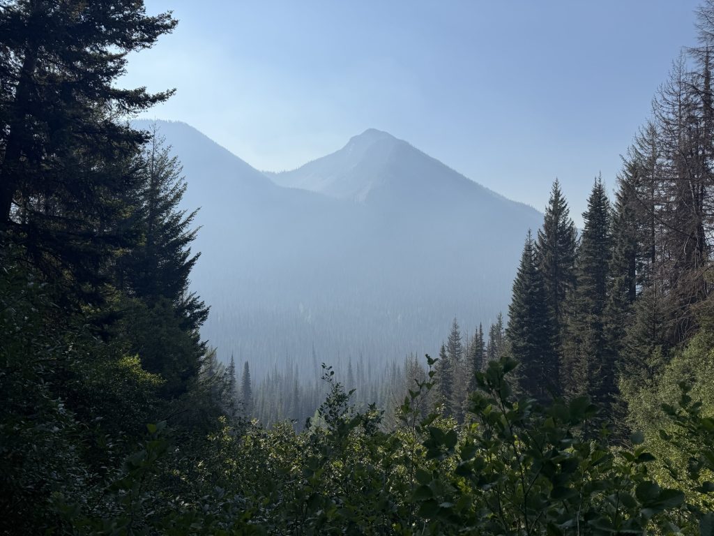
I arrived at the trailhead around 6:00 a.m. There had been a lot of smoke during the drive, although thankfully it had cleared somewhat by the time I started hiking.
For once, I got to slackpack. No tent. No sleep system. No several days of food. Just what I needed for a day hike.
My pack felt wonderfully light. Unfortunately, my body didn’t.
Apparently giving myself two days without hiking was just enough time for my body to realize just how much it hurt. Within minutes of starting, my ankles, Achilles, legs and back were reminding me why I’d decided to end my hike in the first place.
Still, today was different. I knew exactly where I was going, I wanted to be there and I wasn’t going to let the pain stop me.
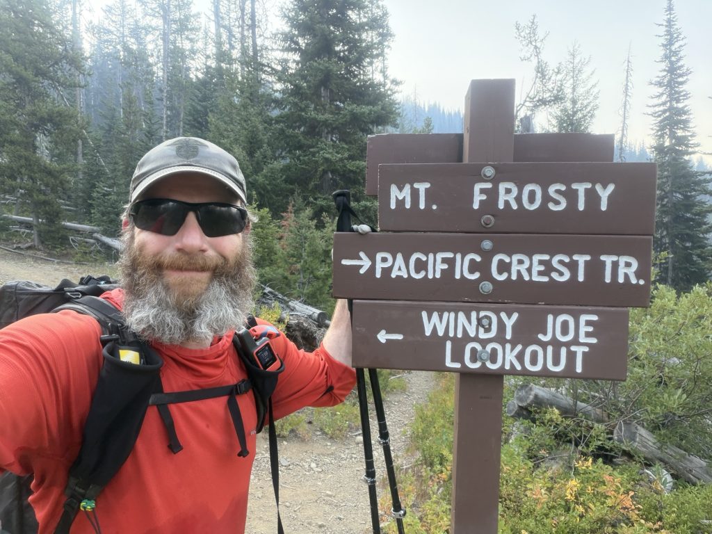
The first few miles up the Windy Joe trail were straightforward, although most of the day’s climbing was packed into a relatively short section.
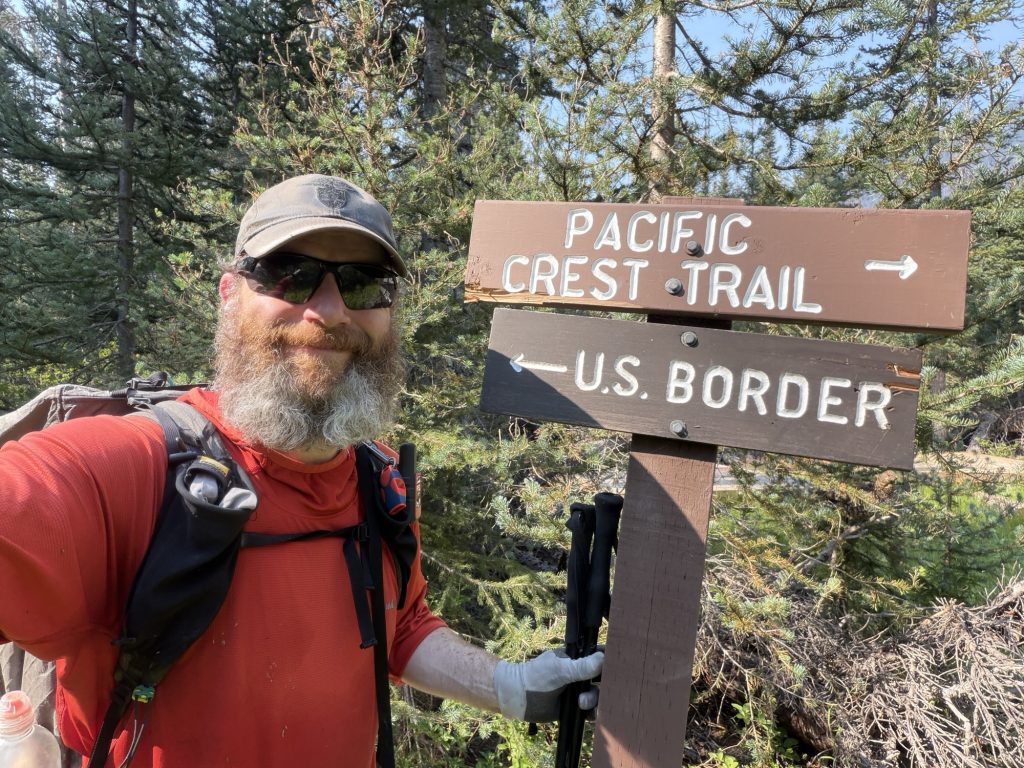
The trail then branched into the PCT. Except this time I was walking south. After four months of trying to move north, there was something wonderfully strange about hiking the wrong way.
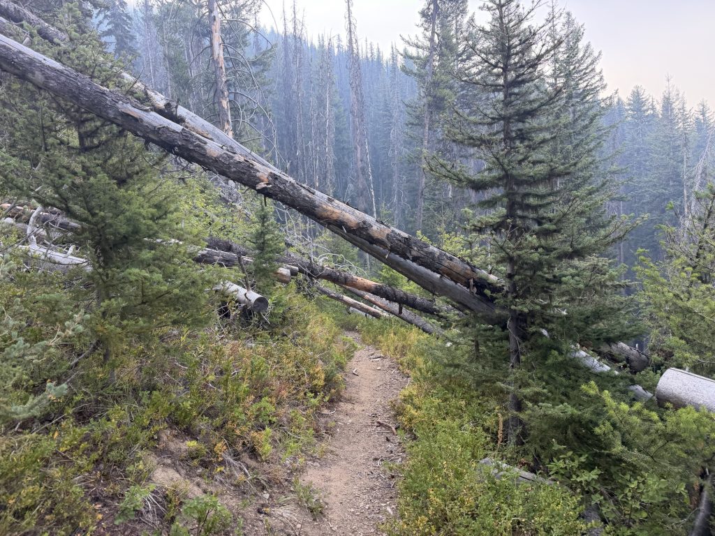
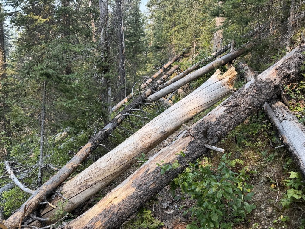
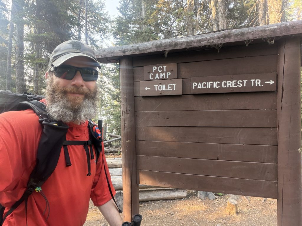
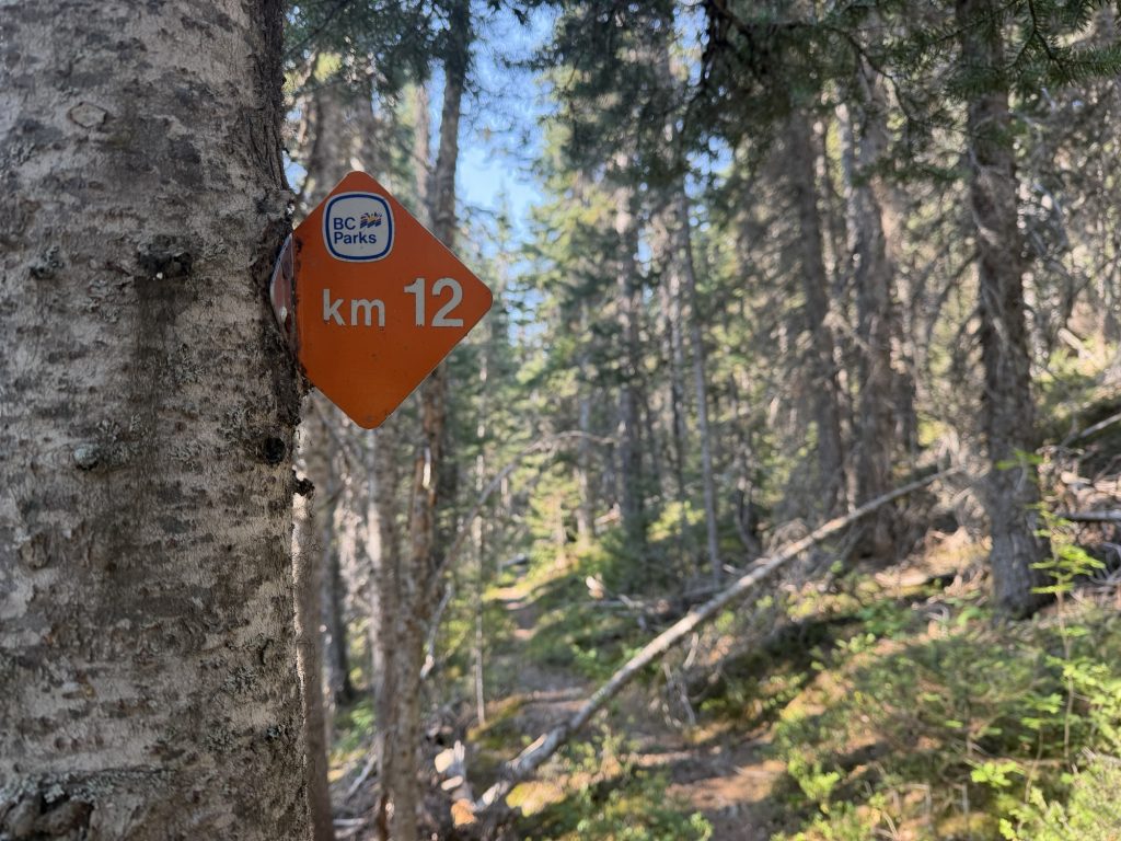
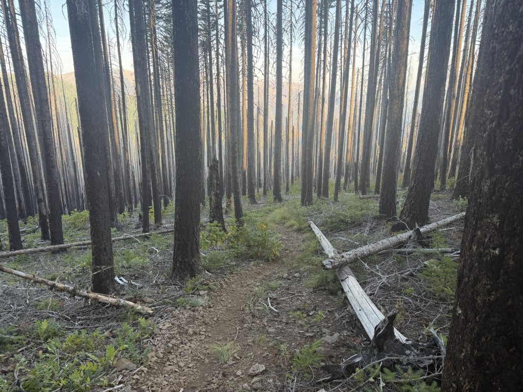
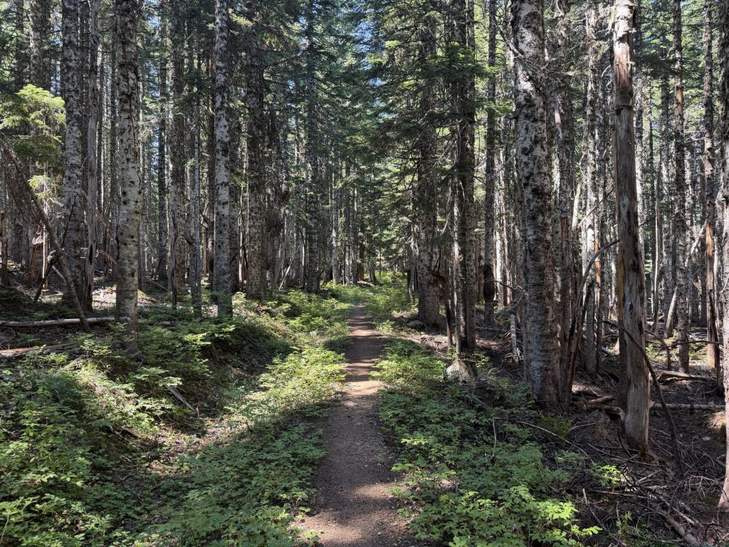
From here condition of the trail began to deteriorate. Between roughly mile 3.4 and the PCT Camp at mile 4.2, I counted 140 blowdowns.
Yes. I actually counted them. Fortunately, most were relatively easy to climb over, crawl under or walk around. Beyond PCT Camp things improved for a while, but eventually the trail became considerably rougher.
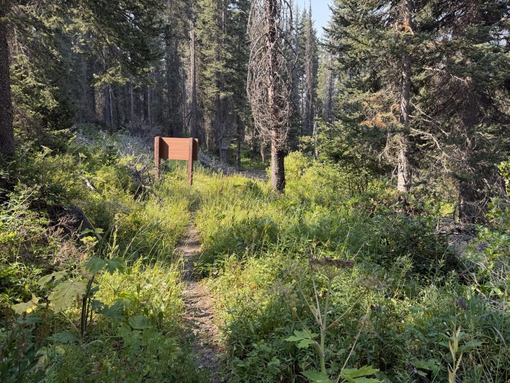
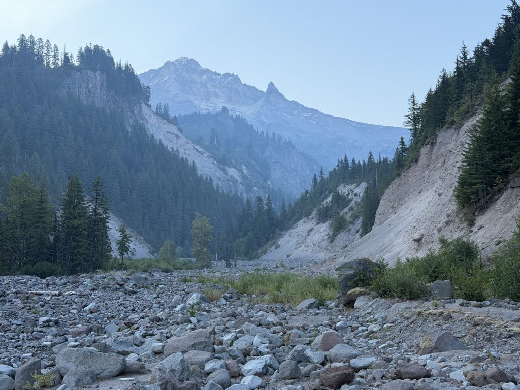
The section between approximately miles 6.4 and 7.4 was some of the worst trail I’ve encountered. It was badly overgrown, covered in blowdowns, and in places the trail simply disappeared. Navigation became surprisingly difficult and several of the fallen trees were challenging to get around.
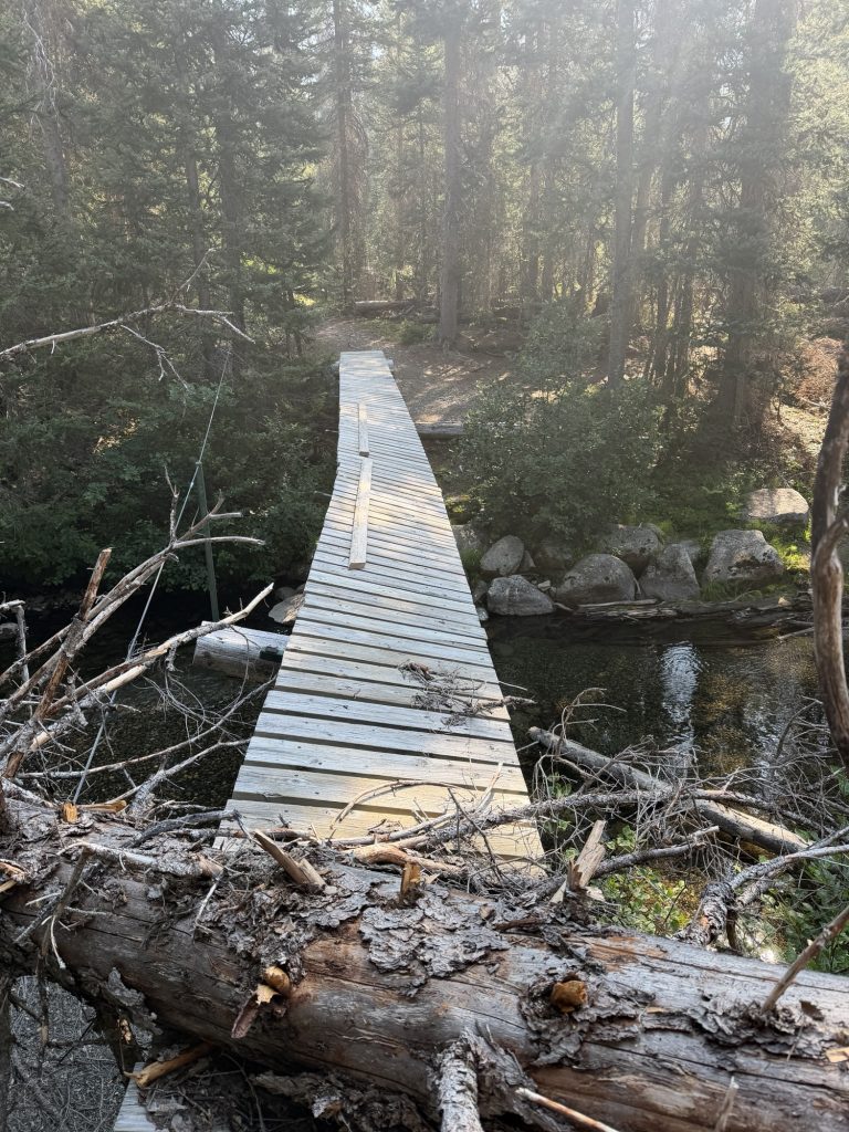
I crossed a damaged bridge after the monument 78 campground crossing my fingers that it would actually hold me or that I wouldn’t fall off.
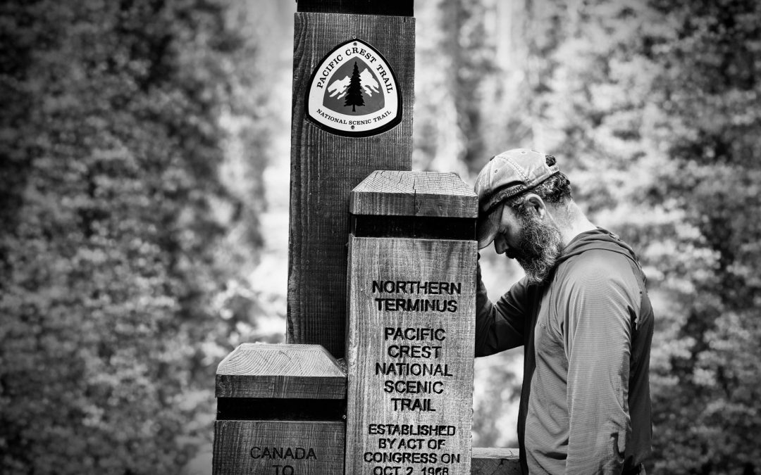
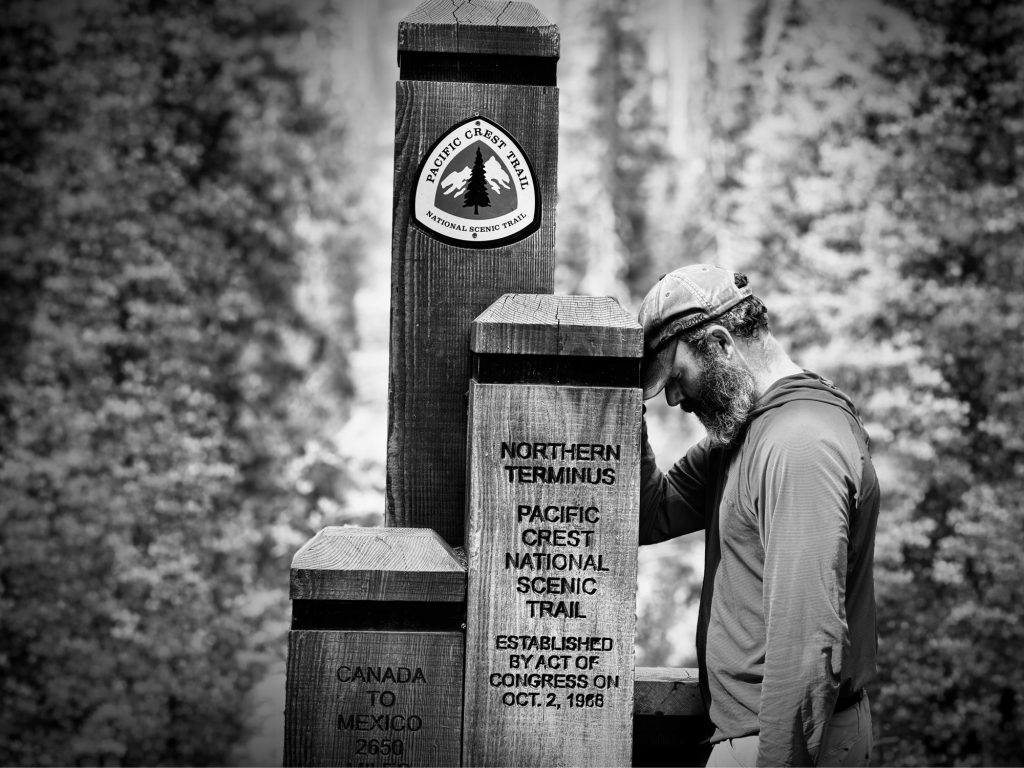
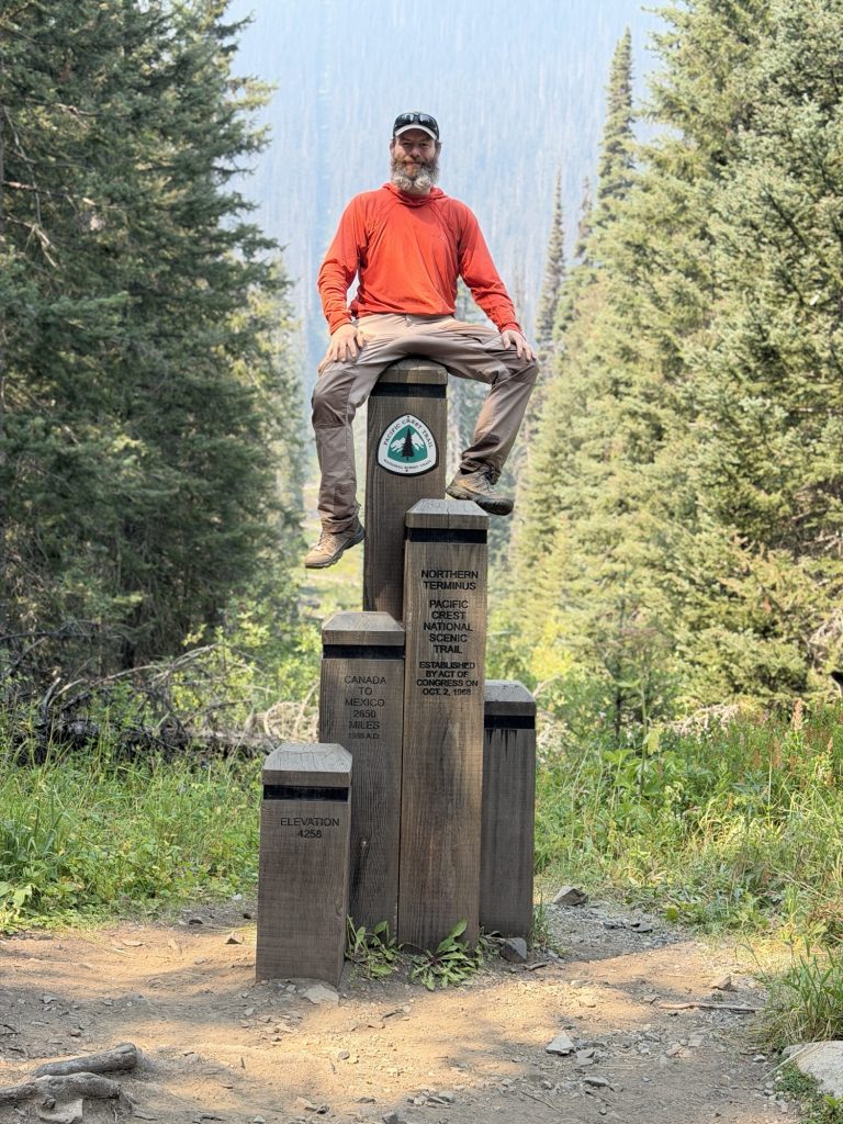
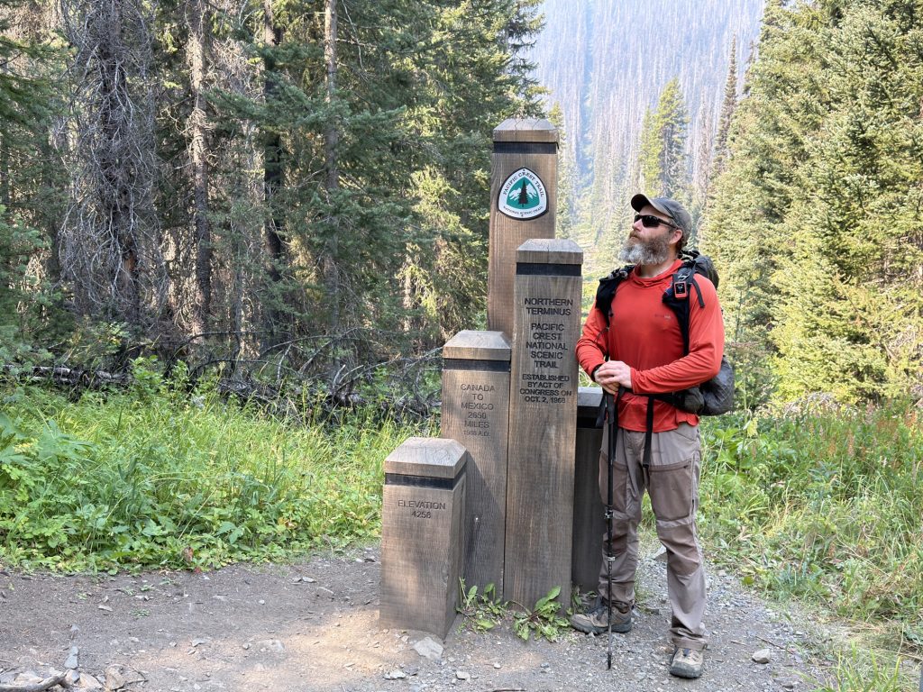
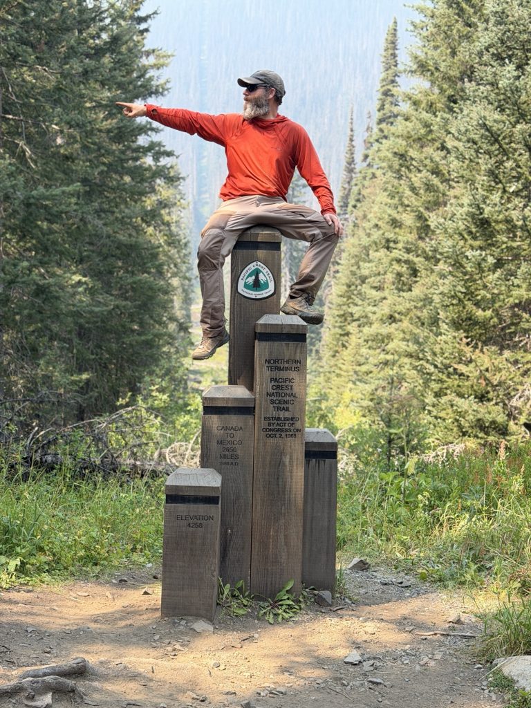
Then, through the trees, I saw the very top of the Northern Terminus. I stopped and smiled.
With every step closer, more of the monument appeared through the trees and that smile just kept getting bigger.
After more than a decade of dreaming about reaching this place, I was finally here.
Not from the direction I’d expected.
Not after hiking every mile from Mexico.
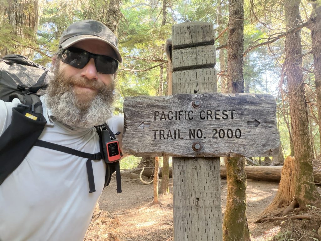
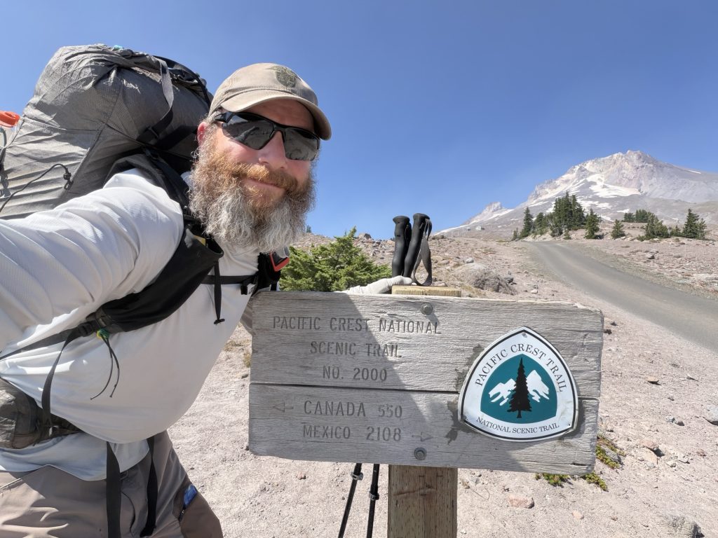
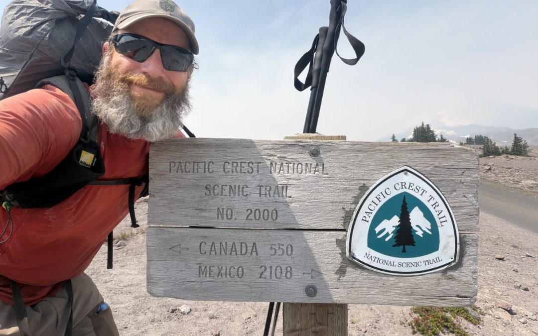
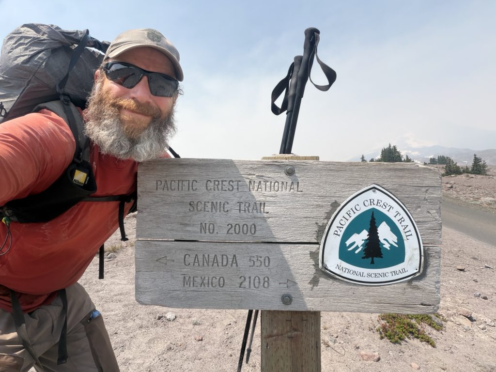
But I was here, Mile 2655 of the PCT
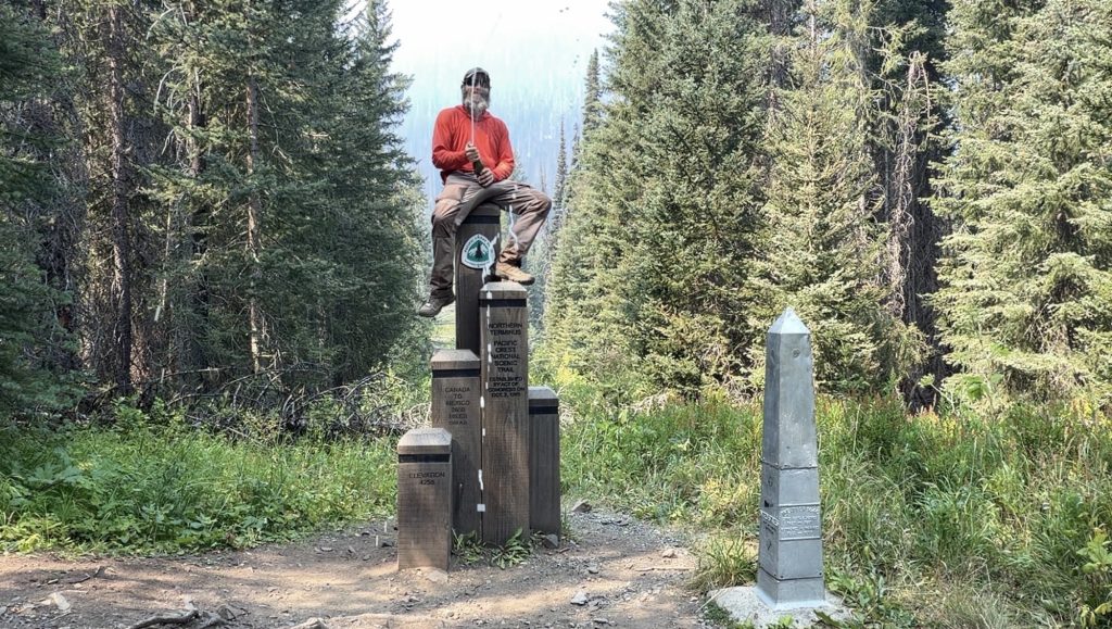
I had the Northern Terminus completely to myself. I signed the register and realized nobody had signed it since July 25. With the trail closed on the American side, I knew there was a pretty good chance nobody else was coming.
So I stayed.
For nearly two hours, I sat alone at the Canadian border beside a monument I’d thought about for years and took it and the clear cut marking the US and Canadian border all in. There was no great epiphany but also no tears or sadness.
I opened the champagne I’d carried in, took photos, wandered around, and mostly just sat there trying to absorb where I was and everything that had happened to get me there.
There was no rush. And honestly, I didn’t want to leave.
At the Bridge of the Gods, I’d already decided my thru-hike attempt was over. I’d called Mel, my parents and friends and told them I was coming home. I’d accepted that I wasn’t going to walk the remaining 500 miles through Washington.
But somehow this felt different.
As long as I was sitting beside that monument, some tiny part of the journey was still unfinished.
Leaving meant there was nowhere else on the PCT I needed to get to.
Leaving meant it was actually over.
Eventually, of course, I stood up, put my pack back on and took one last look at the Northern Terminus. Then I turned around and started walking north.
Back into Canada.
After 125 days, 1,830 miles of the Pacific Crest Trail and one final 17.7-mile hike from the wrong direction, there were finally no more miles I needed to walk.
Remaining distance: 0 miles.
Maybe I didn’t reach the Northern Terminus the way I’d dreamed about for all those years. But standing there alone, champagne in hand and a ridiculous smile on my face, I realized that didn’t matter nearly as much as I thought it would.
PCT Day 125 – Indian Springs Trailhead (2130.7) Across The Bridge Of The Gods to Washington (2150.5)
August 8, 2026
Total PCT miles: 1.0
Non PCT miles: 15.0
Total: 16 miles / 25.7 km
Total elevation gain: 942 ft
Total elevation loss: 5007 ft
Steps: 40289
Remaining Distance: 499.5 miles
I woke up this morning knowing that today would be my last day hiking north on the Pacific Crest Trail.
That was a strange thing to know.
For 125 days, almost every morning has started with the same basic objective: pack up my tent, put on my backpack and walk north. Sometimes toward the next water source, sometimes toward town, sometimes toward an arbitrary number on a map, but always north.
Today I knew exactly where I was going.
The Bridge of the Gods, the end of my PCT journey.
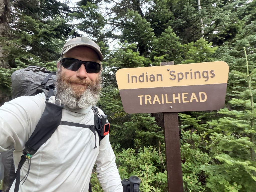
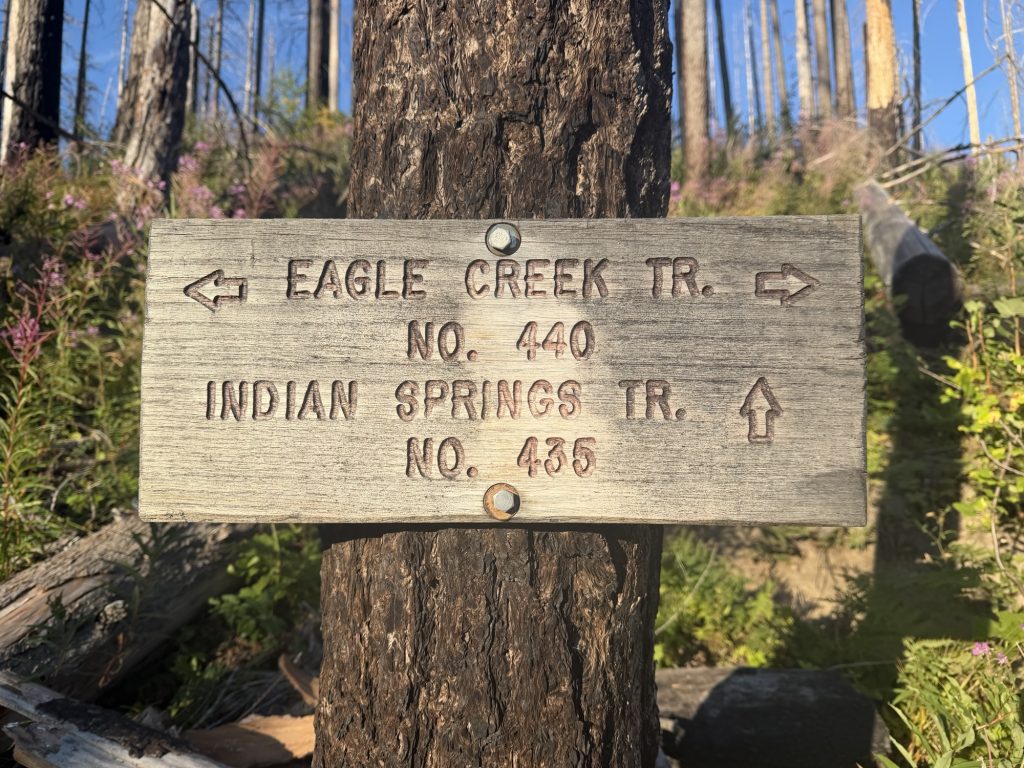
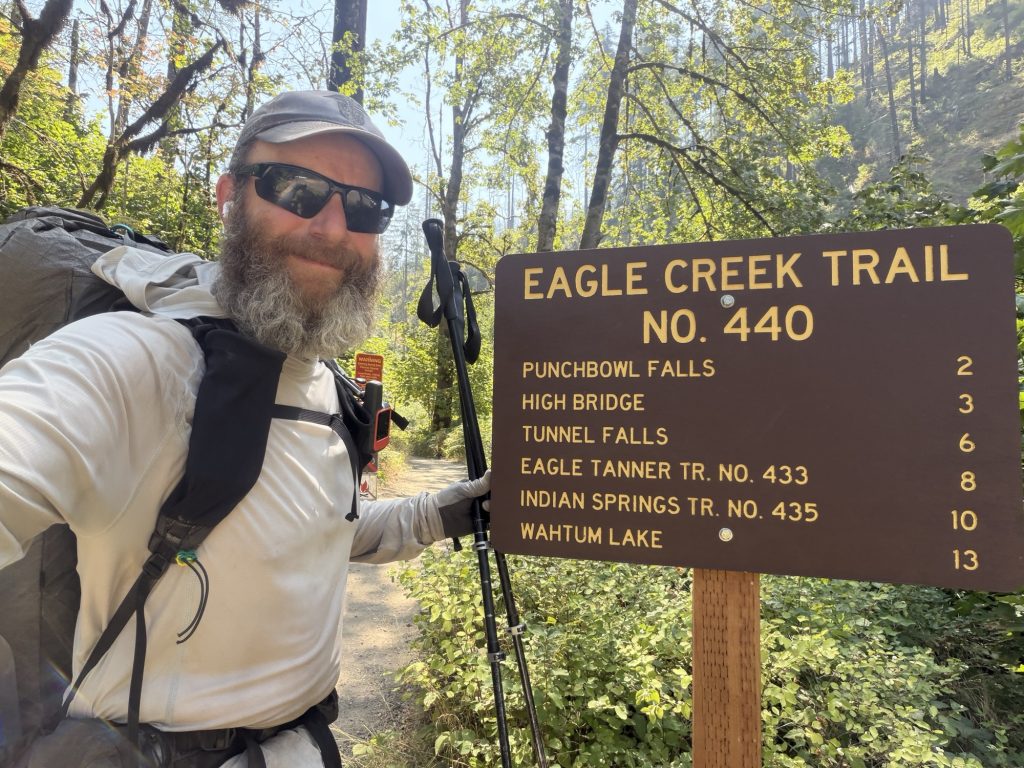
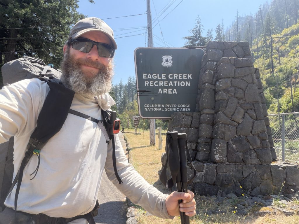
Rather than stay on the official PCT, I took the Indian Springs Trail dropping down near 2000 ft in 2 miles to the Eagle Creek Trail Alternate. In my opinion, this really should be the PCT.
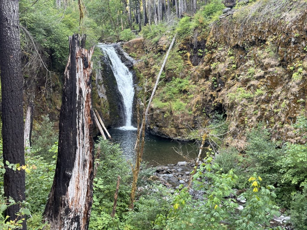
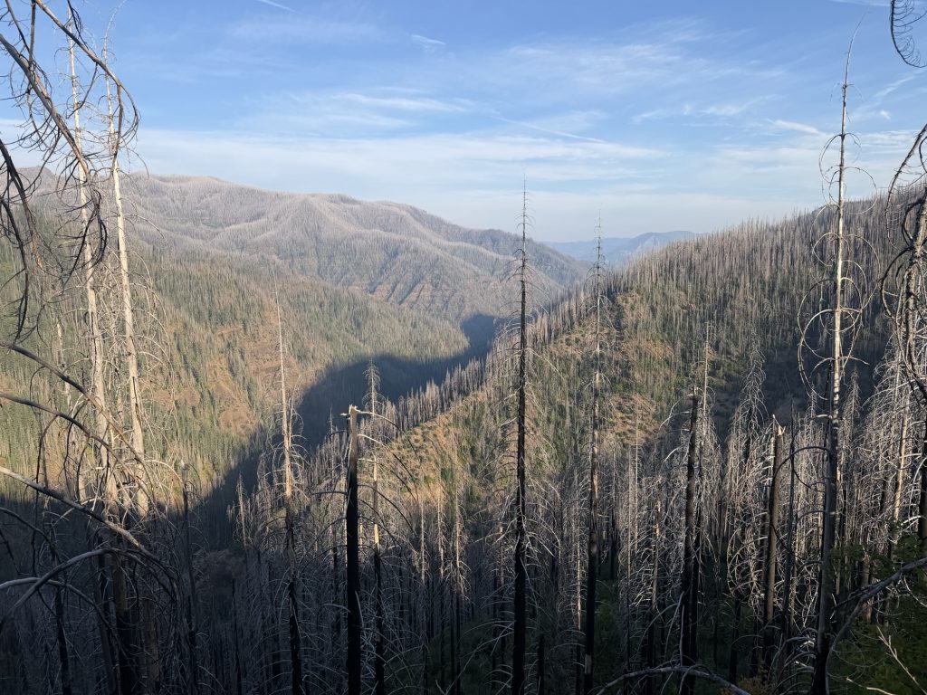
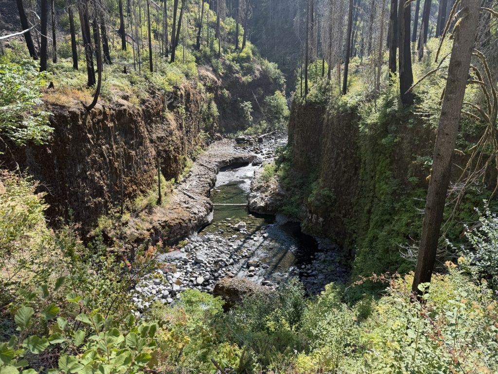
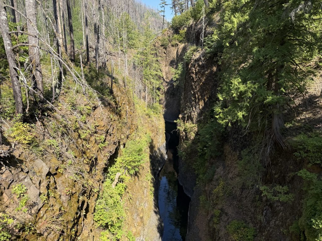
The Eagle Creek area was devastated by wildfire in 2017 after a teenager threw a firework into the Columbia River Gorge, igniting a fire that would eventually burn tens of thousands of acres. Nearly a decade later, evidence of the fire is still everywhere, but so is the recovery. And it is absolutely beautiful.
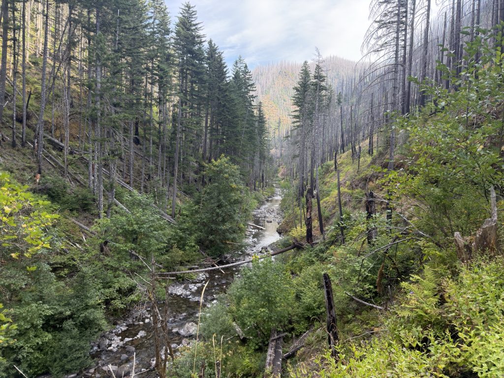
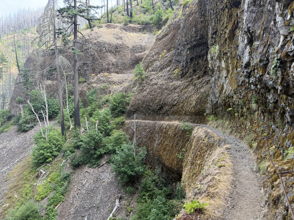
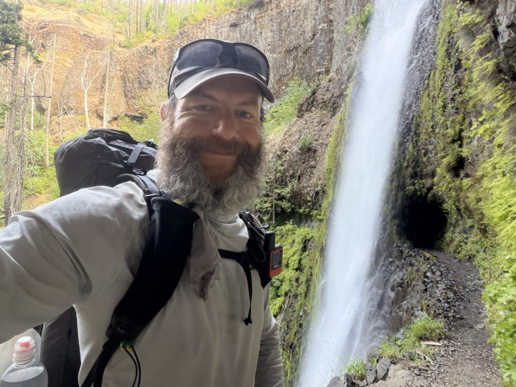
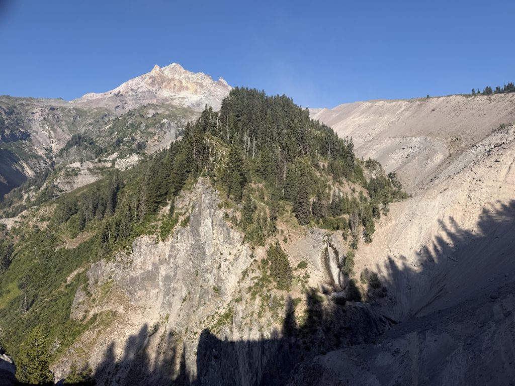
The trail follows Eagle Creek through an incredibly lush gorge, passing waterfalls, cliffs and sections of trail carved directly into the rock. After everything I’ve seen over the last four months, this might genuinely be one of my favorite stretches of the entire journey.
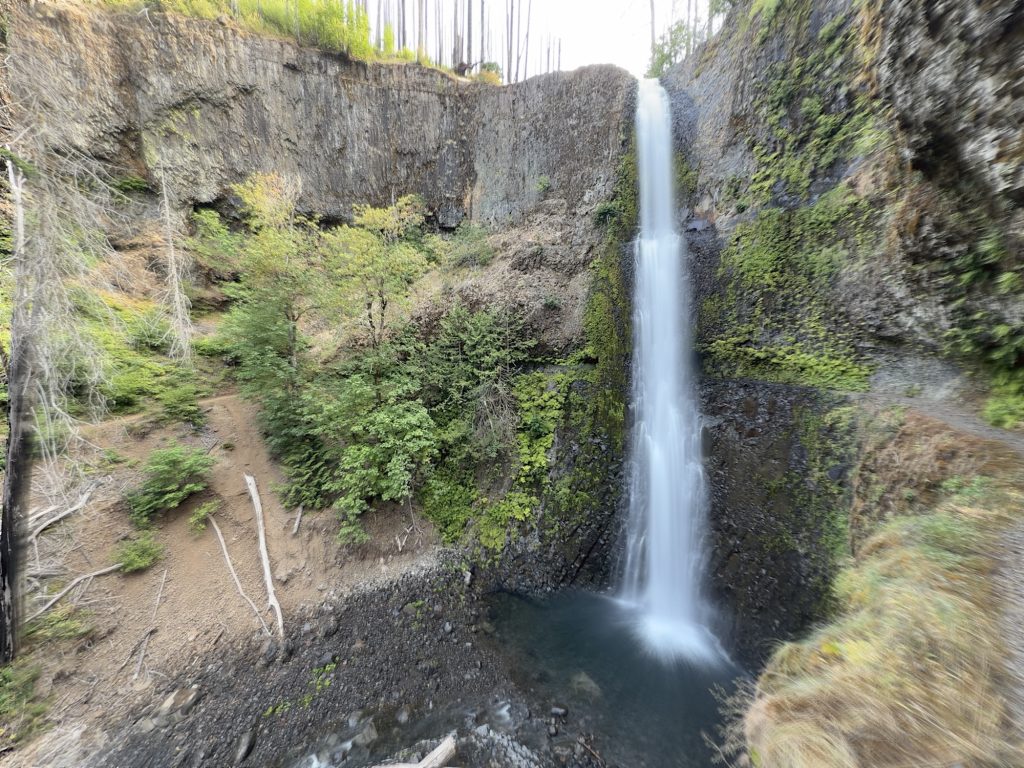
Tunnel Falls in particular is incredible. The trail approaches a massive waterfall before disappearing into a tunnel blasted directly through the rock behind it. You literally walk behind the falling water before emerging on the other side of the canyon. It felt like an appropriate place to spend some of my final miles.
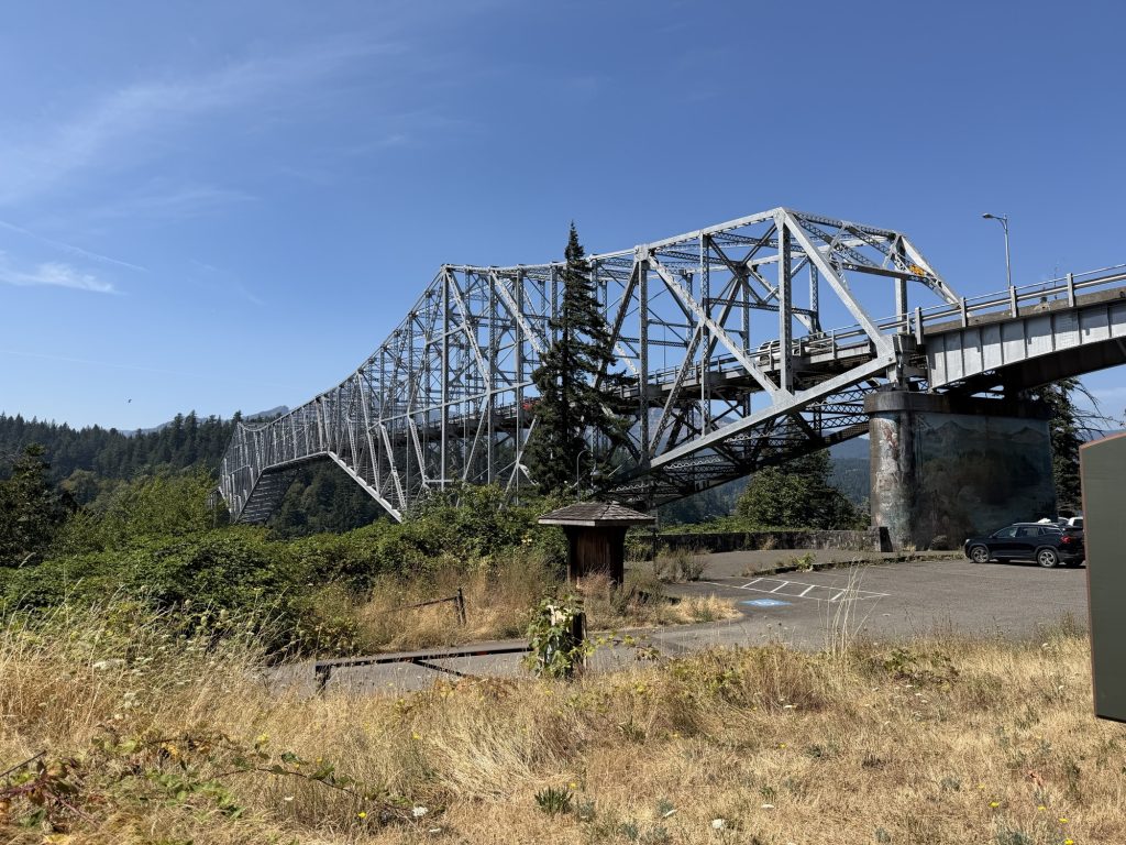
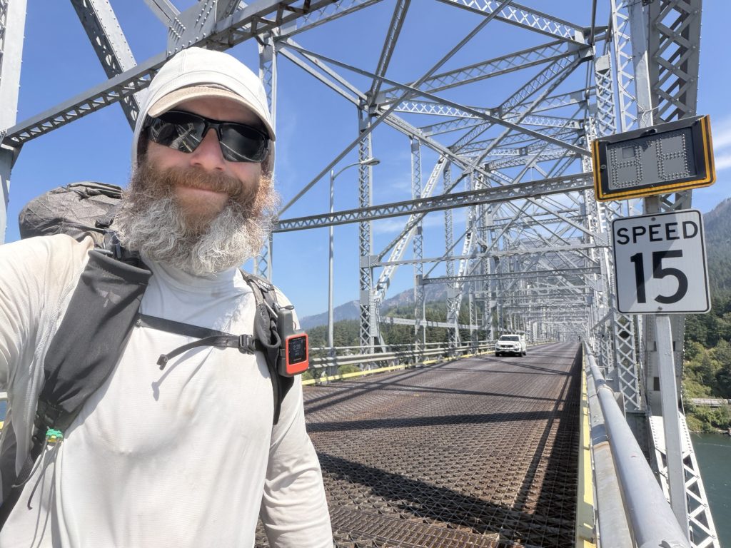
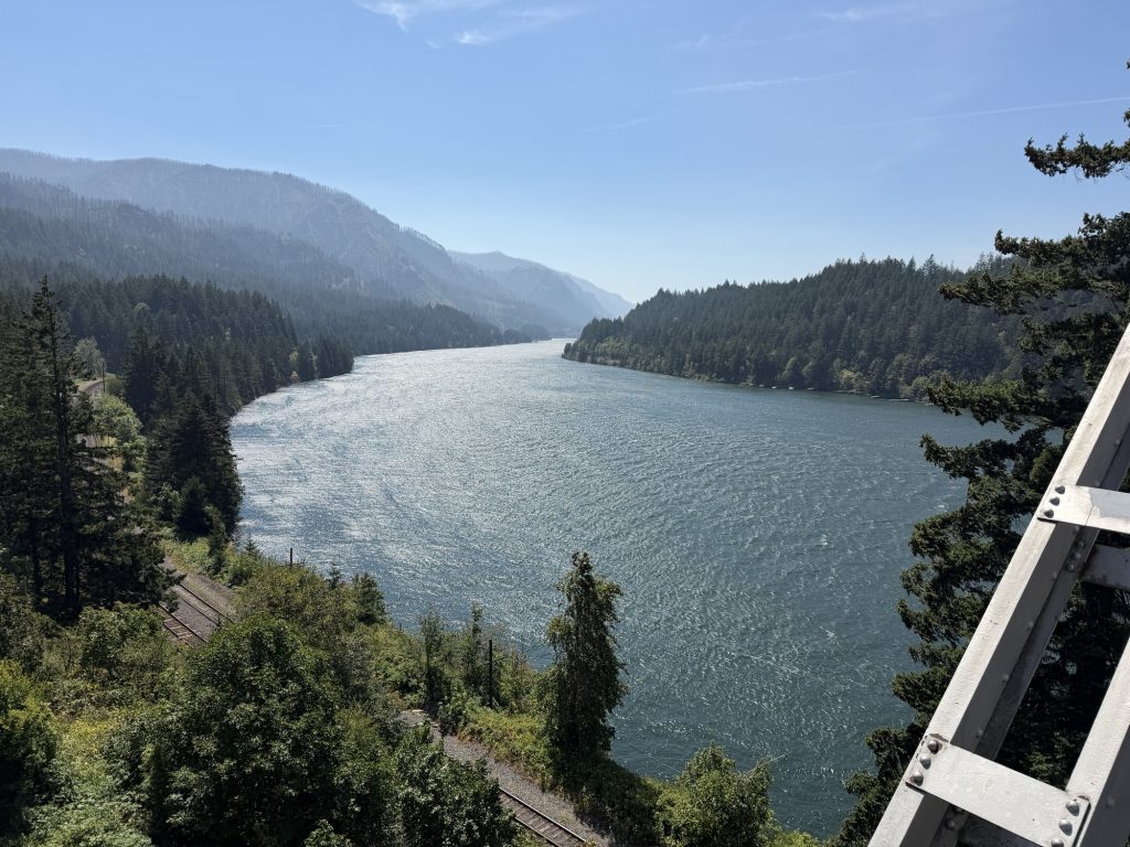
Eventually I reached the trail head and took the paved path toward Cascade Locks. And then there it was.
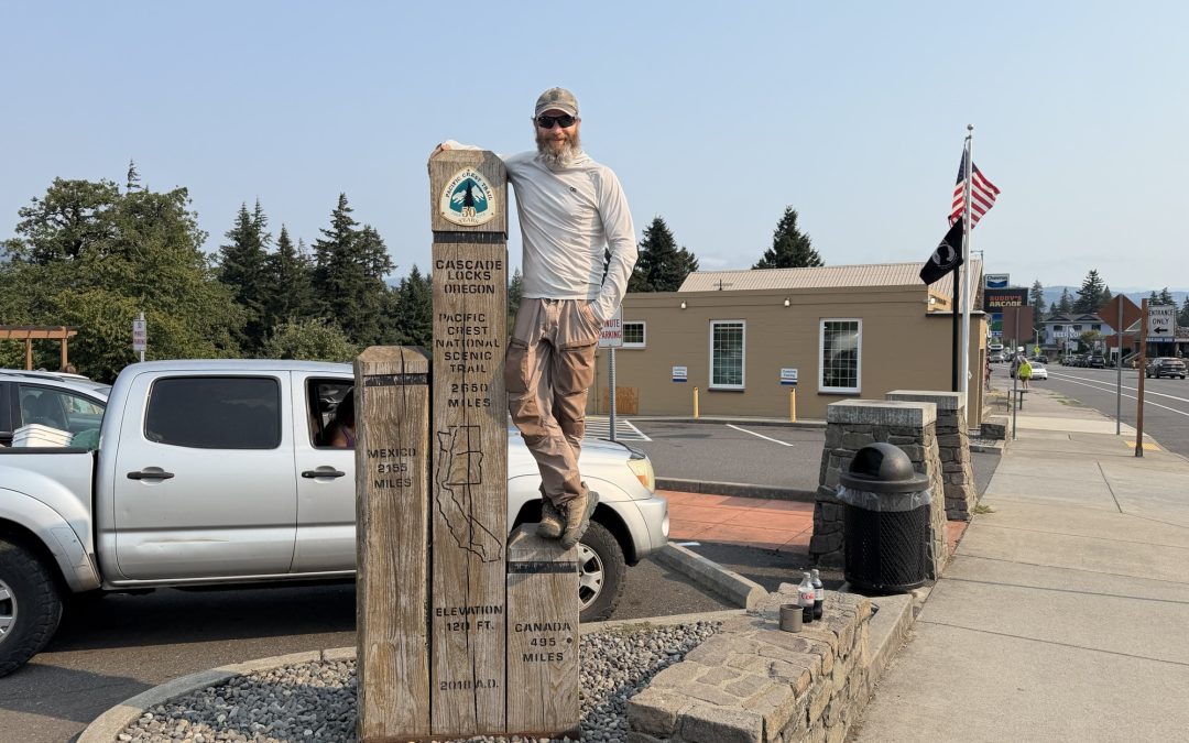
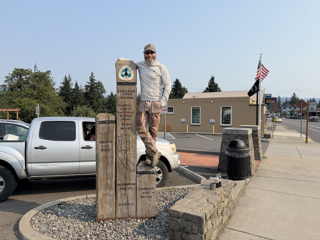
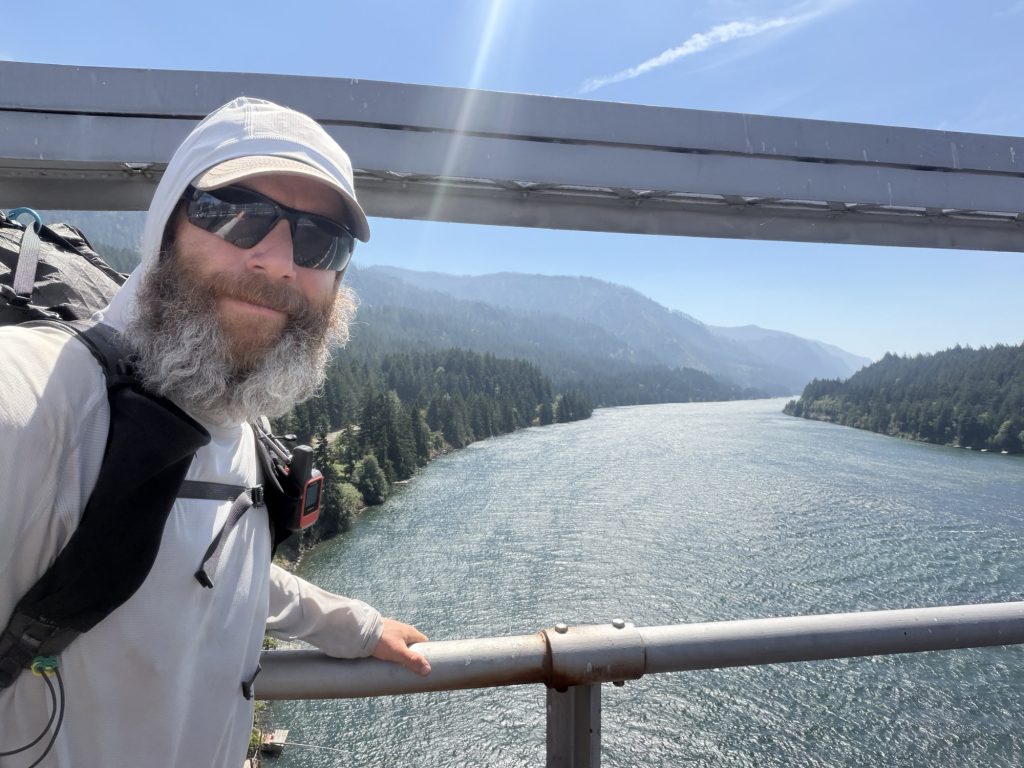
The Bridge of the Gods.
I’ve thought about this bridge for years. It’s one of the major landmarks of the Pacific Crest Trail. The place where you leave Oregon behind, cross the Columbia River and enter Washington. There is no sidewalk on this bridge, you walk along with vehicle traffic. As I crossed the bridge a car stopped and the driver held out his hand and said “Trail Magic!” He put a few large, pungent buds in my hand that I later gave to another hiker.
Crossing the bridge knowing these would be the final steps of my Northbound journey I thought I’d be emotional. Maybe I’d cry. Maybe I’d feel devastated knowing I wasn’t continuing. Maybe I’d feel an enormous sense of relief.
Instead, I just felt content.
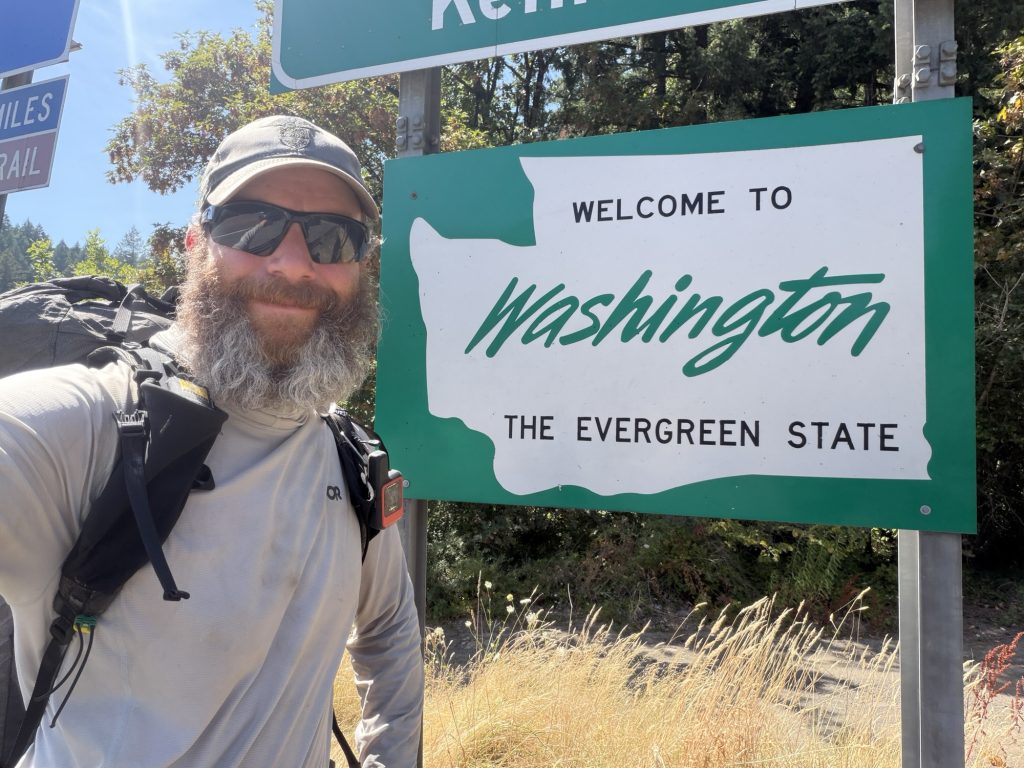
I walked across the bridge, crossed the state line into Washington and stood there for a while. No huge emotional moment. No overwhelming sadness. No regret.
Just a quiet feeling that I’d made the right decision.
There are still 499.5 miles of the Pacific Crest Trail between here and Canada. For the first time since leaving Campo, I’m choosing not to walk them.
And I’m okay with that.
After crossing the bridge, I called Mel. Then my mom and dad. Then a few friends.
I’m coming home. Those were pretty incredible words to finally say.
My PCT hike ends here, but I’m not quite finished with the Pacific Crest Trail yet. Before going home, there are a couple more things I want to do. PCT Days is happening here in Cascade Locks next week, and after spending four months living and breathing this trail, it seems like an appropriate place to say goodbye to this strange little community I’ve become part of.
And there’s one other loose end I plan on tying up in the next few days.
Today, though, my northbound journey is over.
There are so many people I need to thank. Everyone who followed along, read my blog, commented on my posts, sent messages and encouraged me from home. The amazing hiker trash I met and shared miles, meals, laughs and struggles with along the way. The incredibly generous trail angels who opened their homes, gave rides, left water, fed us and reminded me over and over again how good people can be.
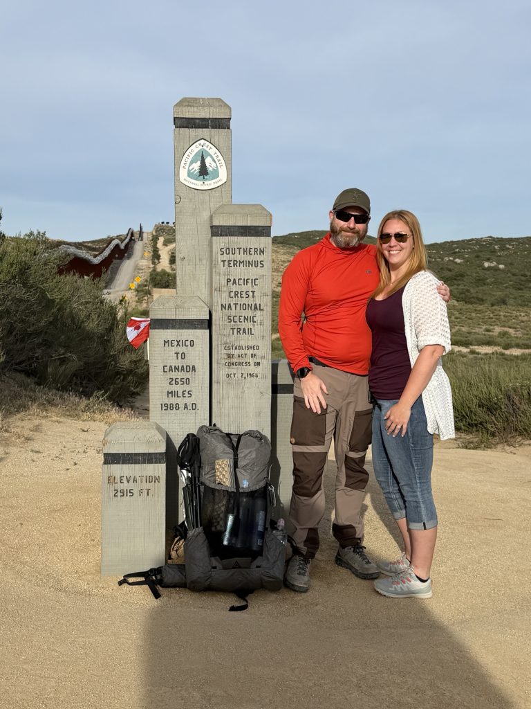
Mel dropping me off at the southern terminus 125 days ago
And most importantly, my fiancée, Mel, who supported this ridiculous dream from the beginning. She supported me every step of the way, through the incredible days and the really difficult ones, and somehow always knew exactly what I needed to hear.
There’s another reason I’m proud of what I accomplished out here.
This wasn’t my first attempt at the Pacific Crest Trail.
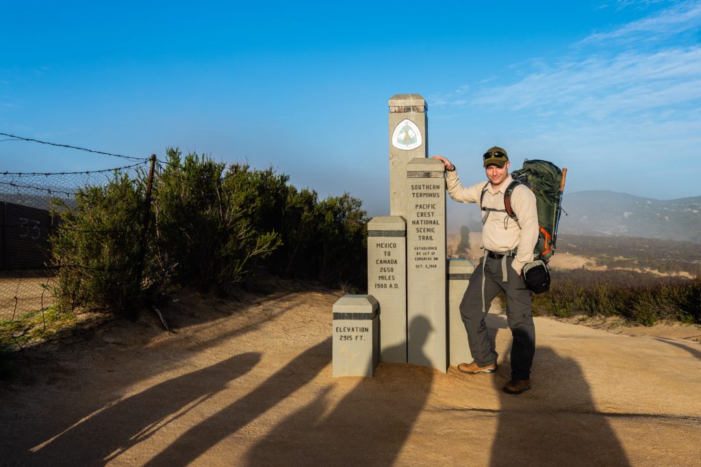
2018 at the Southern Terminus
In 2018, I set out from Campo with the same dream of walking to Canada. About 200 miles into that hike, I sprained my ankle and my PCT journey came to an end.
Looking back now, the ankle was only part of the reason. The truth is, I wasn’t ready. Before starting the PCT, the longest backpacking trip I had ever done was seven days. I understood the physical challenge of walking a long way, but I don’t think I understood what it would take mentally to live on the trail for months. When things went wrong, I didn’t yet have the experience or resilience to deal with them.
Eight years later, almost unbelievably, history repeated itself.
About 200 miles into this hike, I sprained my ankle again. For a little while, it looked like my second attempt might end almost exactly where the first one had. But this time I dint make rash decisions, rested, somewhat recovered, put my pack back on and kept walking.
And I kept walking for more than another 1,600 miles.
I don’t think resilience means refusing to quit. Sometimes the harder decision is recognizing when it’s time to stop. To me, resilience is getting knocked down, figuring out what comes next, and continuing forward—even when forward doesn’t look the way you originally imagined it would.
The person who stepped onto the PCT in 2026 was very different from the person who stepped onto it in 2018.
Maybe that’s one of the biggest things these 1,830 miles have shown me. I didn’t need to walk all 2,650 miles to prove that.
It’s going to take me a long time to process these 125 days and everything this journey has taught me. There were incredible highs, some pretty dark lows, and more experiences packed into four months than I could possibly summarize in one post.
I walked out of Campo 125 days ago not knowing what was ahead of me. 1,830 miles, thousands of photographs, and more pain, laughter, frustration, generosity, beauty and memories than I could ever fit into this blog later, I’m walking off the trail knowing a little more about myself than when I started.
PCT Day 124 – PCT Mile 2109.5 to Indian Springs Trailhead (2130.7)
August 7, 2026
Total PCT miles: 21.3
Non PCT miles: 1.0
Total: 22.3 miles / 35.9 km
Total elevation gain: 4606 ft
Total elevation loss: 3793 ft
Steps: 51505
Remaining Distance: 524.2 miles
I slept through my alarm this morning. I’ve never done that on trail. I’m almost always the first one up and almost always pass other hikers still asleep in their tents. I suppose that most people know me as a night owl and lover of night shifts might find that surprising. After 124 days, my body has become pretty well programmed to wake up and start walking. Maybe this morning it was trying to tell me something.
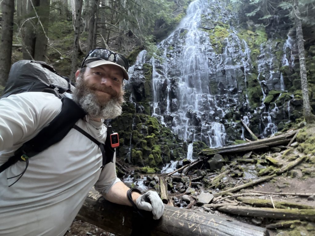
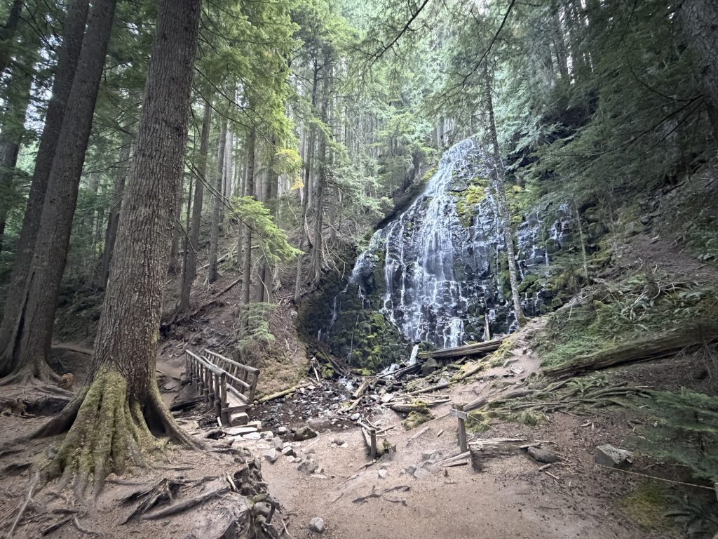
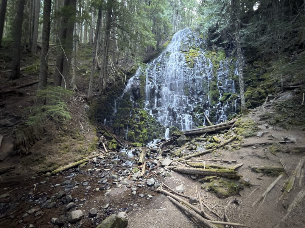
Eventually I packed everything up and started north. Early in the day I took the Ramona Falls Alternate, a short detour from the PCT that passes directly by Ramona Falls. I’m certainly glad I did. The water cascades almost 120 feet down a wall of columnar basalt, spreading into countless little streams as it tumbles over the rock. It was an impressive sight and another reminder that, despite how I’ve been feeling lately, this trail can still surprise me with something beautiful.
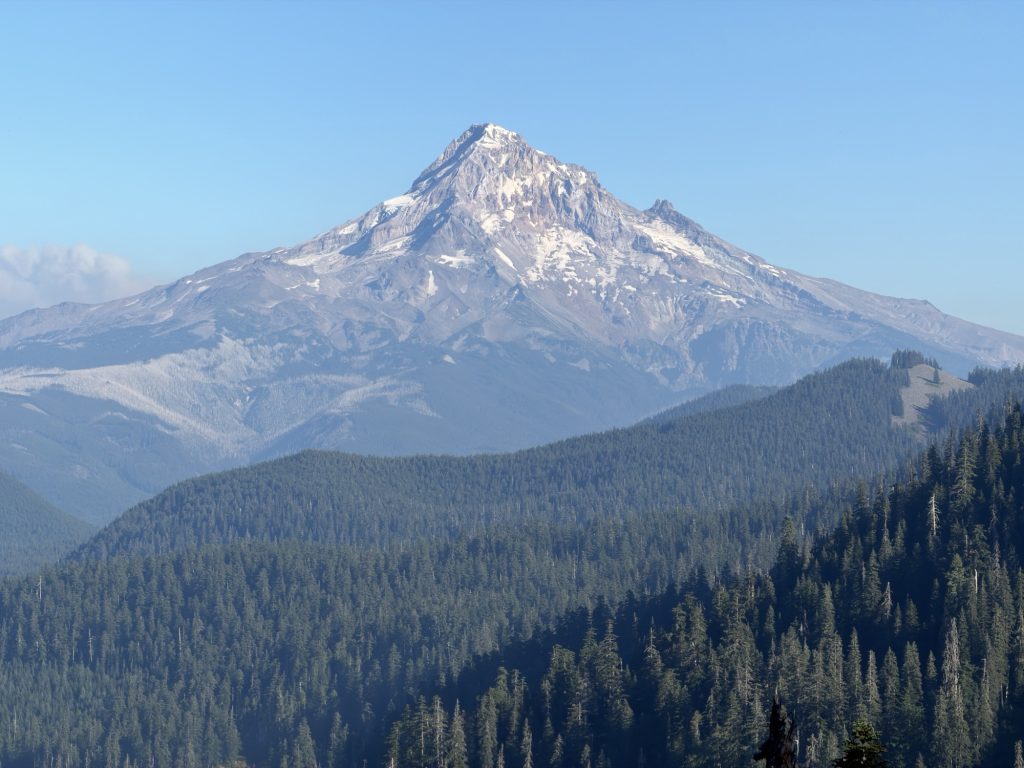
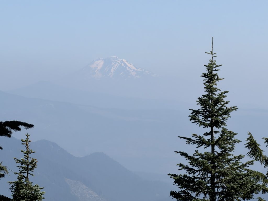
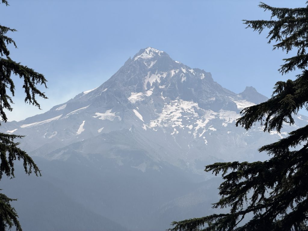
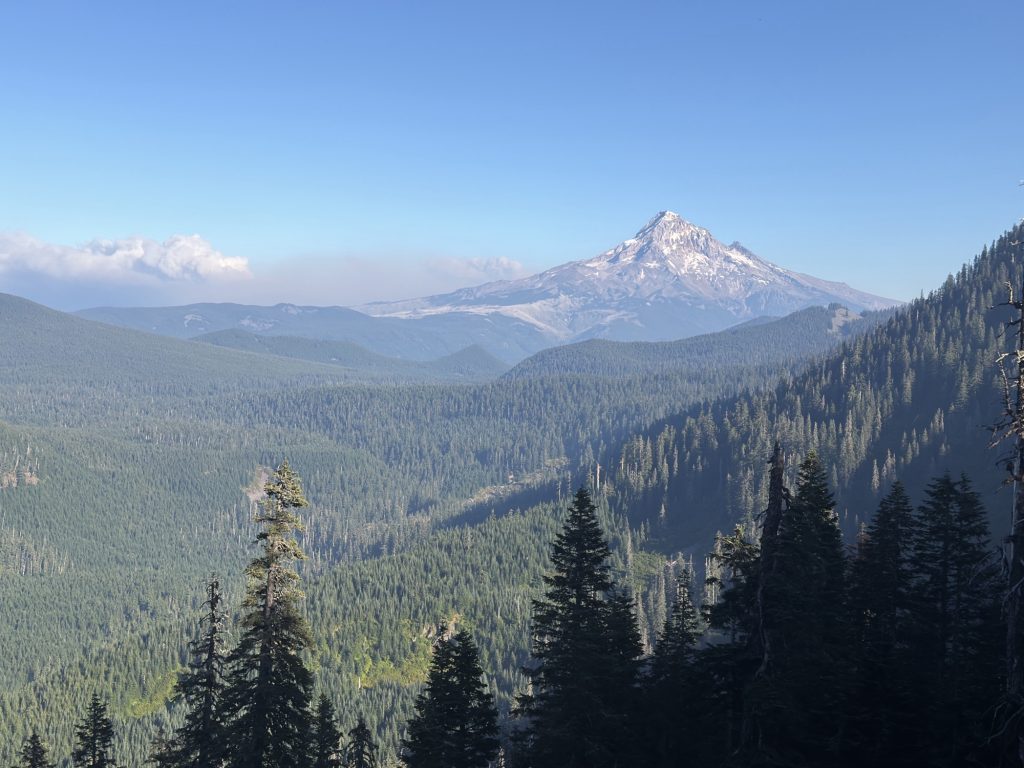
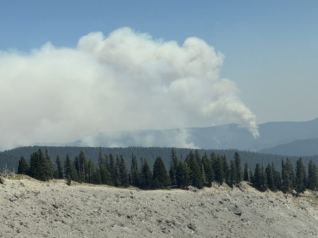
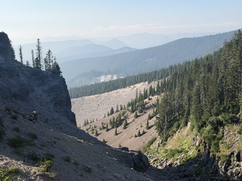
As I continued north, the trail opened up to some great views back toward Mount Hood. Unfortunately, the wildfires burning in the distance were an increasingly obvious presence on the horizon. It seems like every day brings news of another fire somewhere along the PCT.
Things aren’t looking much better ahead of me either. The wildfire situation in Washington continues to deteriorate and there is now another section of the PCT closed because of the Three Queens Fire. With the northern terminus already inaccessible, the path through Washington is becoming increasingly complicated.
But if I’m being truthful with myself, the fires aren’t why I’ve decided to stop.
Today I hurt.
My ankles hurt. My Achilles hurt. My legs hurt. My back hurt. The sciatica that has been bothering me was there again. The skin on my hips is raw. I’ve had to stop almost every 2 miles because of the pain to rest. None of these things are particularly new. I’ve been hiking with pain for hundreds of miles and, for a long time, I accepted it as simply another part of this journey. I’ve spent four months telling myself to embrace the suck.
Keep walking.
Get over the next mountain. Make it to the next town. Get some food. Take a zero. Maybe tomorrow will feel better.
And for a long time, that worked.
There was always something on the other side of the suffering that made me want to continue. An incredible view. A milestone I’d been dreaming about. A ridiculous conversation with another hiker. A trail angel appearing exactly when I needed one. Or sometimes just the satisfaction of knowing I’d pushed through another hard day.
Somewhere along the way, that changed. I’m still capable of putting in the miles. I hiked more than 22 pain filled miles today with over 4,600 feet of climbing. A few days ago I hiked almost 33 miles in a single day. Physically, I could force myself to keep going regardless of the consequences to my own health.
But I’m not enjoying it anymore.
That’s much harder for me to admit. Embracing the suck isn’t suppose to mean indefinitely enduring something you’ve lost the joy in doing.
At some point during the day, I did it.
I called Mel. I told her I was done.
Saying the words out loud made the decision suddenly very real. After more than a decade of dreaming about reaching the Northern Terminus of the Pacific Crest Trail and 124 days of organizing my life around one simple objective, keep walking north, I had finally decided that I didn’t want to do it anymore.
There are 524.2 miles of the PCT remaining.
That number is difficult to look at. Part of me desperately wants to finish what I started. I’m close enough now that I know I could grit my teeth, swallow some more ibuprofen, ignore the pain and drag myself north for another few weeks.
But what would I be trying to prove?
I don’t want the final memories of something I’ve dreamed about for so long to simply be how badly everything hurt and how desperately I wanted it to be over.
So I’ve made my decision. I’m going to keep hiking tomorrow, but I’m no longer hiking toward Canada.
I’m hiking toward the Bridge of the Gods.
I started this journey in what feels like forever ago and yesterday at the same time. Tomorrow I’ll step into Washington, finish my hike, and walk away from the PCT on my own terms.
Tonight I’m camped knowing that tomorrow morning I’ll put my pack on and start walking just like I’ve done almost every morning for the last four months.
Except tomorrow, for the first time in 124 days, I know exactly where my last mile will be.
PCT Day 122 & 123 – Unscheduled Zero in Portland to PCT Mile 2109.5
August 5&6, 2026
Total PCT miles: 9.4
Non PCT miles: 0.3
Total: 9.7 miles / 15.6 km
Total elevation gain: 1368 ft
Total elevation loss: 3865 ft
Steps: 25616
Remaining Distance: 545.5 miles
August 5 – Unscheduled Zero in Portland
I woke up this morning grateful for a good night’s sleep in a comfortable bed and, more importantly, grateful that I didn’t have to hike through the thick smoke that has blanketed much of the Pacific Northwest.
I shared the room with Van Gogh, who decided to head home to Washington for a few days to wait out the smoke and see how the wildfire situation develops. We grabbed breakfast at a little dive diner and then made the obligatory stop at Voodoo Doughnuts, apparently something you’re required to do while visiting Portland, before saying our goodbyes and going our separate ways.
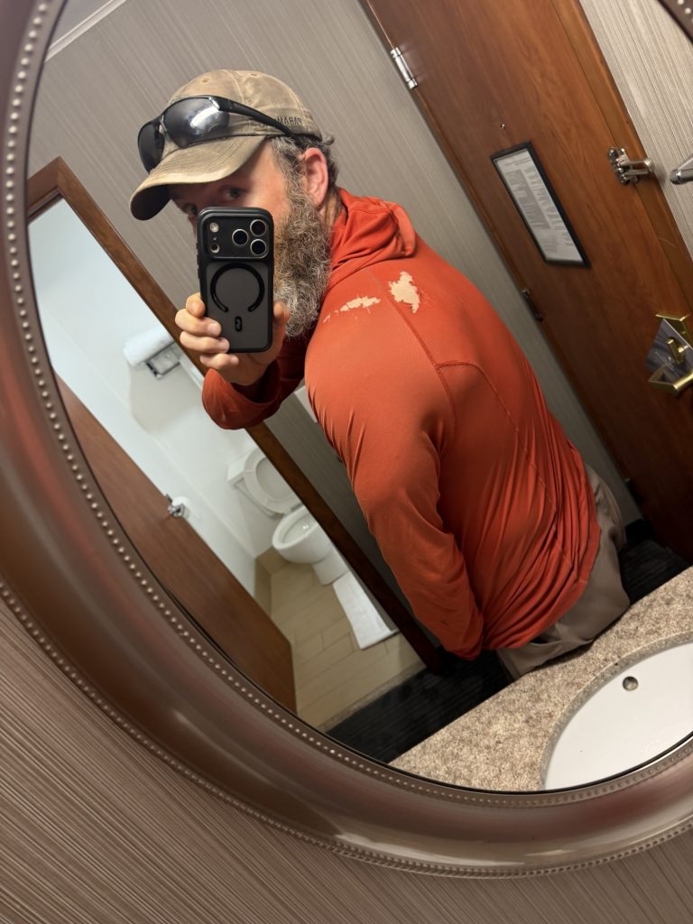
I then found a cheaper hotel for tonight, which left me with a few hours to kill between checkout and check-in. After I checked out I visited some local gear stores and replaced some equipment. A new sun hoodie as the one I wear while hiking had multiple holes in the back, a trekking pole too that was destroyed by the lava fields and a new water collection bag as my current one had an annoying hole in it.
Walking around Portland was certainly an experience. The scale of homelessness and drug use here is quite saddening. During a relatively short walk, I witnessed several things that I’m fairly certain would have resulted in emergency services being called in Ottawa.
One thing I will give Portland, though: it might have the best public transit system I’ve ever used. It’s cheap, easy to navigate, and seems capable of getting you almost anywhere.
Eventually I checked into my hotel and spent the rest of the afternoon doing absolutely as little as possible. Since I’ve been sending myself resupply boxes throughout Oregon, there wasn’t even much town planning or shopping to worry about.
For an unexpected zero day, that was exactly what I needed.
August 6 – Back on Trail
I’m amazed by how easy, and cheap, it is to get from downtown Portland back to Timberline Lodge, almost 100 kilometers away. A bus, a train, two more buses and about $6 later, I was back at the trail.
Along the way I made a quick Walmart stop to stock up on more 4C Energy Rush. This is basically powdered Red Bull and is what has kept me going since I discovered it back in the desert. I then stopped at Krispy Kreme for a few donuts. I’m not sure whether the cashier was being nice because the guy ahead of me took forever or whether I genuinely looked like I needed the charity, but she didn’t charge me for my donuts.
I’m beginning to suspect I look considerably more homeless than I realize.
While waiting for my final transfer at the Sandy Transit Center, a homeless man approached me and after I stared I wasn’t from here, very kindly started explaining how to get to the nearest soup kitchen.
Four months on the PCT have apparently done wonders for my appearance.
I finally arrived back at Timberline Lodge around 2:30 in the afternoon, and I couldn’t believe the difference from just two days earlier.
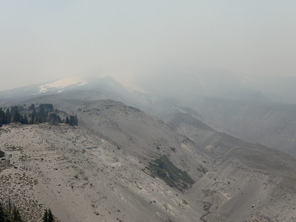
When I left, the smoke was so thick I could barely see Mount Hood despite standing on its slopes. The AQI was above 500, ash had been falling from the sky, and staff at Timberline were setting up hoses and sprinklers around the lodge in case the fire moved closer.
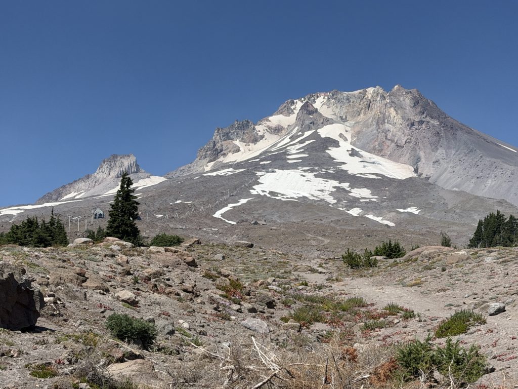
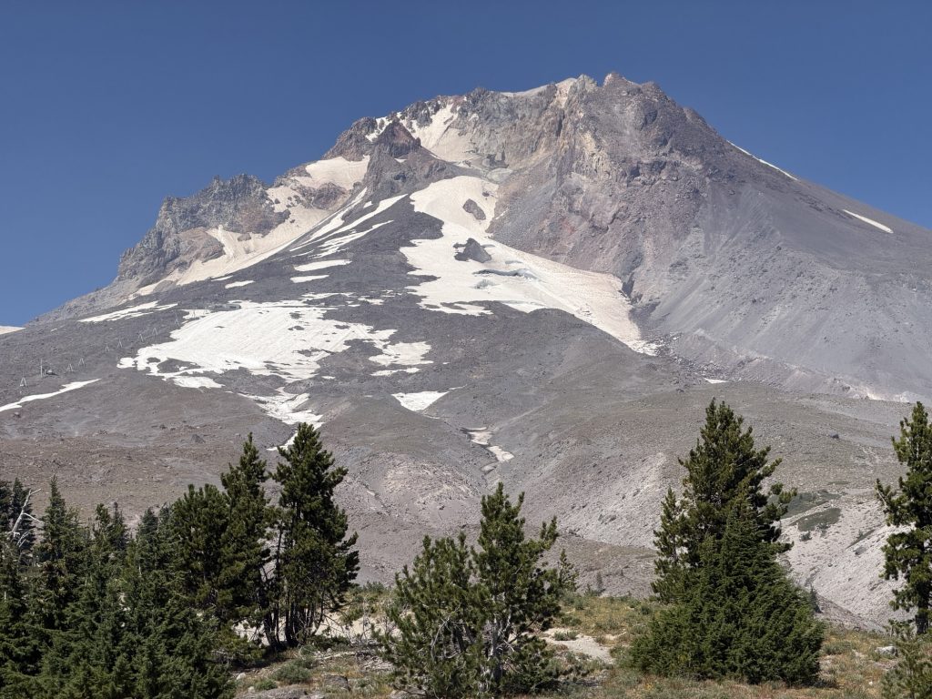
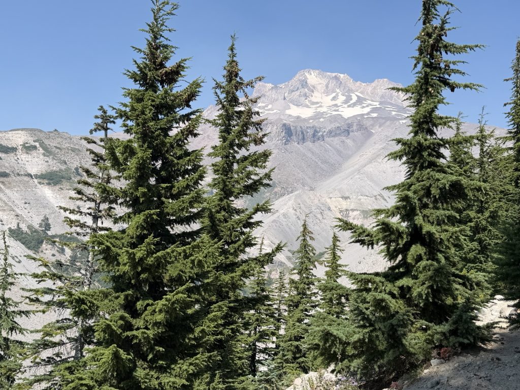
Today, Mount Hood stood clearly in front of me beneath a blue sky.
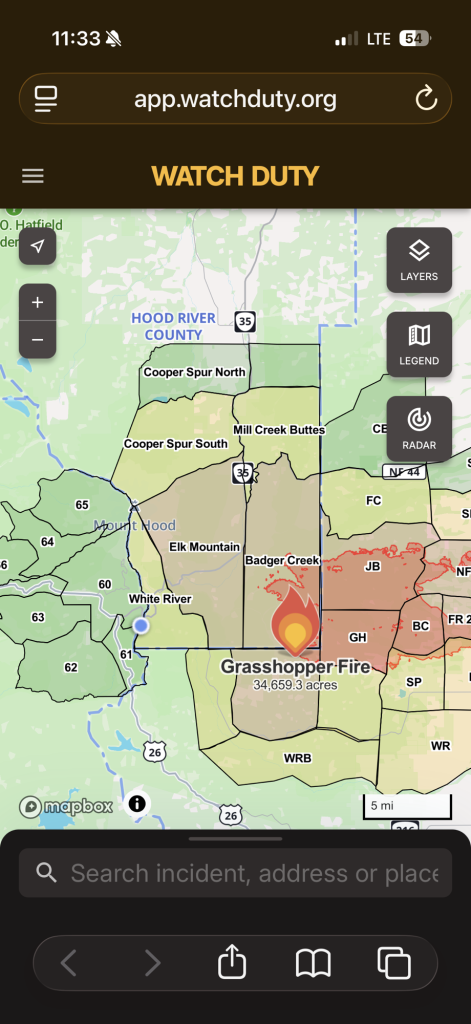
With the smoke gone, I could also see just how close some of the spot fires associated with the Grasshopper Fire are currently burning. It was a little unsettling seeing them from this perspective, but fortunately my route was taking me away from the fire.
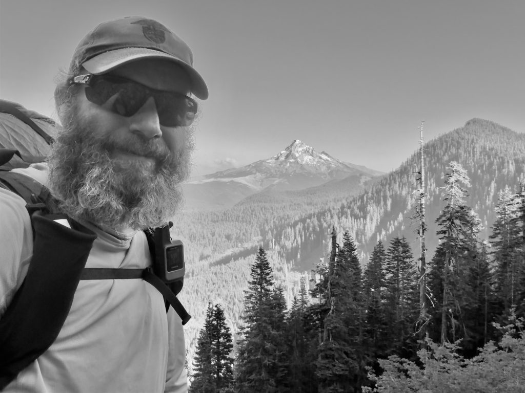
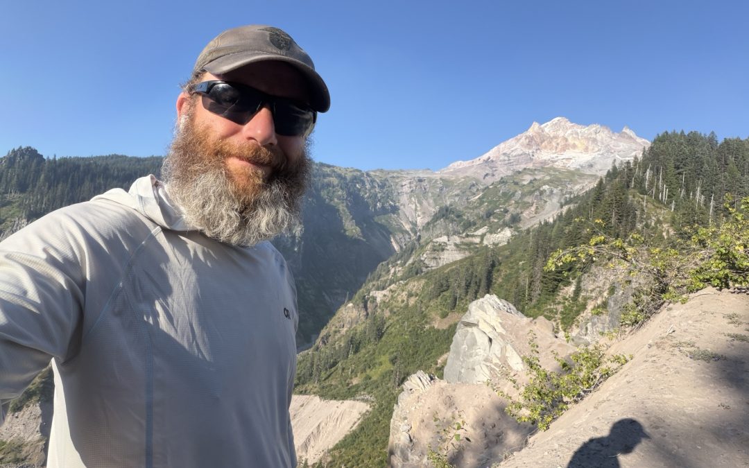
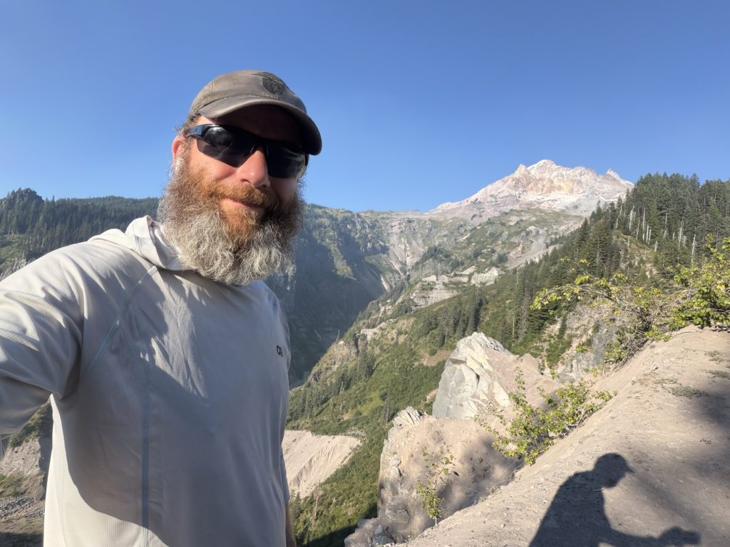
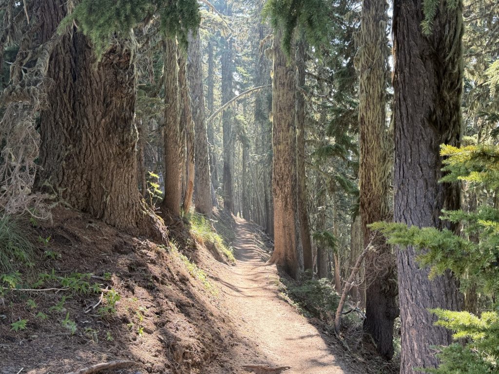
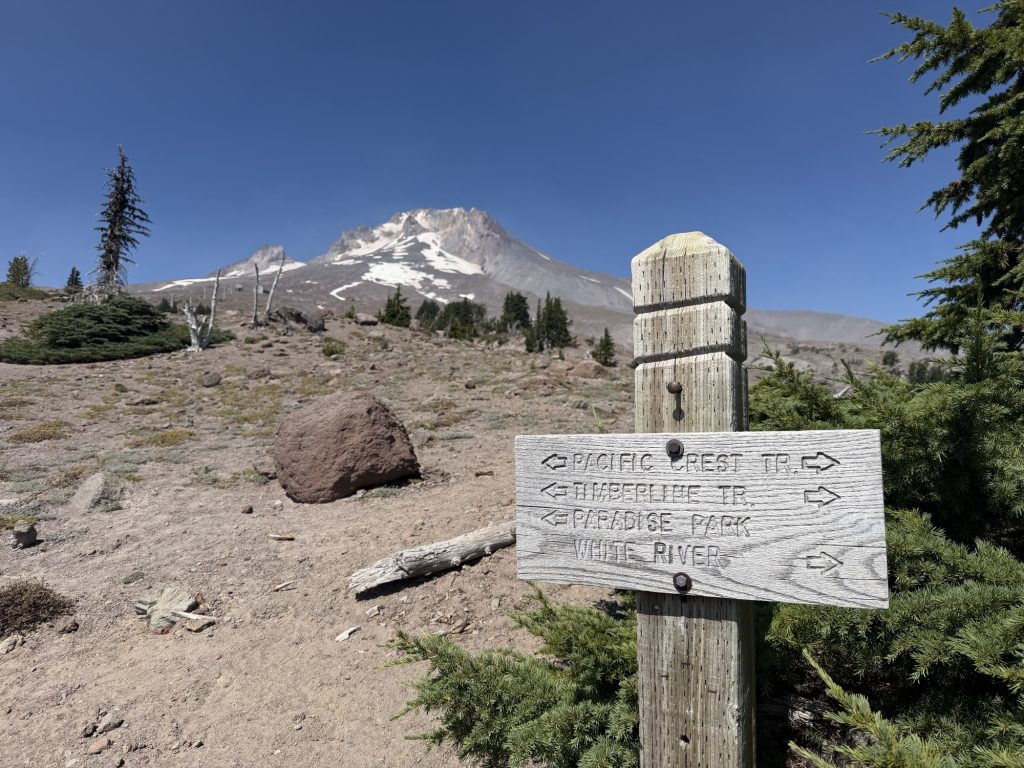
The trail around Mount Hood alternated between exposed sandy slopes and beautiful forest, with frequent openings providing views back toward the mountain. At one of those viewpoints I found the perfect place to take a photo of myself with Hood in the background. I reached into my pack for my tripod and discovered it was gone.
That one hurt.
I’ve owned that little UltraPod since the first time I hiked the West Coast Trail, and I’ve carried it on almost every hiking trip I’ve done since. Somewhere along the way it must have fallen out of my pack. Gear gets lost and gear can be replaced, but after carrying that tripod for so many years and so many miles, it felt like losing a tiny piece of my hiking history.
My progress for the afternoon was slower than I’d hoped, and I didn’t get anywhere near the mileage I had envisioned. My body just wasn’t cooperating. My ankles and legs were aching again, my back and sciatica were bothering me, and even after a day off in Portland I still felt physically exhausted.
More concerning was that I wasn’t particularly enjoying myself.
For months I’ve joked about embracing the suck. There have been plenty of miserable climbs, painful days and moments when I’ve questioned what I was doing out here, but there was almost always something that made it worthwhile. A spectacular view, another milestone, the people I met, or simply the satisfaction of knowing I’d pushed through another difficult day.
Lately, I’m having a harder time finding that something.
Eventually I found a campsite with flat ground and excellent water and decided there wasn’t much point in forcing more miles tonight.
I’m still heading north tomorrow. There are only 545 miles of the PCT left, only 2 days left of Oregon, and part of me desperately wants to keep pushing toward Canada. I’ve invested four months of my life into getting this far, and walking away now is incredibly difficult to even contemplate.
But tonight, lying in my tent sore and tired yet again, I’m starting to wonder whether the question is really how much farther I can go.
PCT Day 121 – Timothy Lake (2079.6) to Timberline Lodge (2100.1)
August 4, 2026
Total PCT miles: 20.5
Non PCT miles: 0.3
Total: 20.8 miles / 33.5 km
Total elevation gain: 4383 ft
Total elevation loss: 1778 ft
Steps: 50255
Remaining Distance: 554.9 miles
Today was supposed to be a simple town stop. Hike to Timberline Lodge, pick up my resupply box, enjoy a hot meal and an ice-cold cola, then head back out on trail. Instead, it became the first day on this hike that I truly felt the safest decision was to stop walking.
The promise of that hot meal had me hiking by 5:00 a.m. It wasn’t that long ago that I could start hiking without a headlamp, but the days are noticeably getting shorter now. The sun is rising later, setting earlier, and autumn doesn’t feel nearly as far away as it once did.
When I stepped out of my tent at Timothy Lake, I could immediately tell the wind had shifted overnight. The smell of smoke was much stronger than it had been the evening before. Instead of blowing away from the trail, the wind was now carrying smoke from the fires east of me directly toward where I needed to hike. The Grasshopper Fire was burning only about 10 miles from the PCT. To be honest, I was surprised the trail hadn’t already been closed.
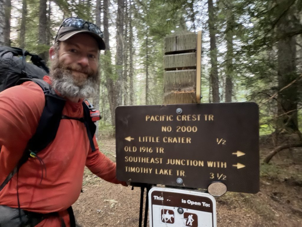
The first few miles around Timothy Lake were peaceful. The trail was flat, the forest was quiet, and the orange glow of sunrise slowly filtered through the smoke. Most PCT hikers make the short detour to Little Crater Lake, but the trail is currently closed for repairs, so I continued north.
Thankfully I had cell service for most of the day, which meant I could regularly check wildfire updates and trail closures. I also kept an eye on my escape options. If conditions changed, both Highway 26 and Highway 35 crossed the trail before Timberline Lodge.
Echo, VanGoh, and Bump all passed me fairly early in the morning. I still wasn’t moving particularly well after yesterday’s long day. My legs felt stiff, my ankles were sore, and I knew I wasn’t hiking at the pace I normally could.
Then the day changed.
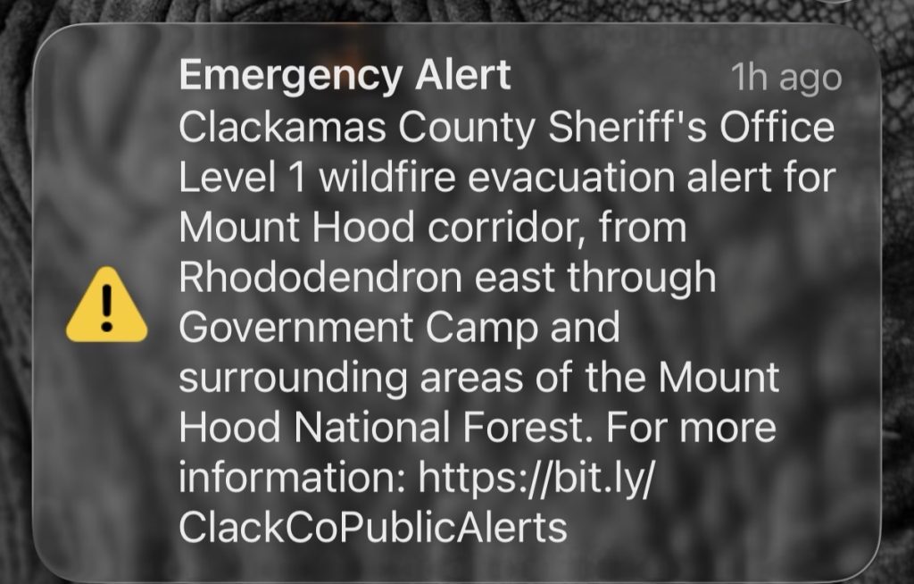
Somewhere between the two highways, tiny grey flakes started drifting through the trees. At first I wasn’t sure what I was seeing, but then I realized it was ash falling from the sky. It was an eerie sight, like a light snowfall in the middle of August. Only a few minutes later, my phone buzzed with an emergency alert. I had entered a Level 1: BE READY evacuation zone.
It definitely got my attention.
A Level 1 evacuation isn’t an immediate order to leave. It simply means conditions could change quickly and people should be prepared. The PCT was still open, I had a highway I could use to leave the area if necessary, and Timberline Lodge was only another five miles beyond Highway 35. After thinking it through, I decided to continue.
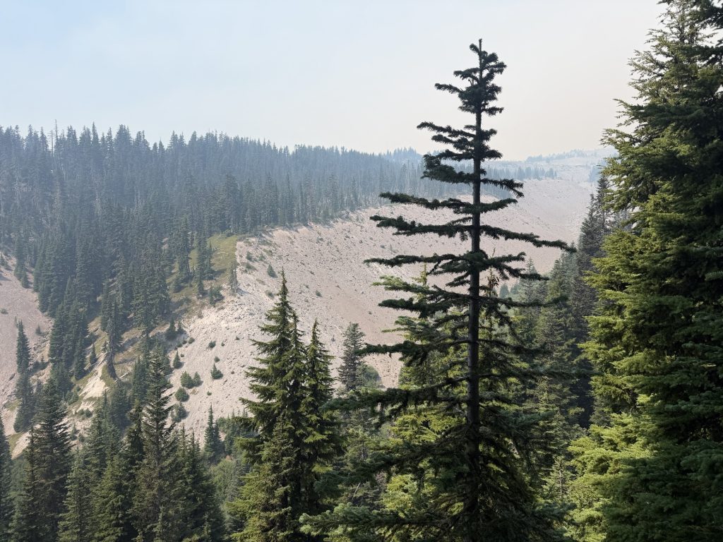
The higher I climbed toward Timberline, the worse the smoke became. The views that should have been opening up never really appeared. Somewhere behind the thick haze was Mount Hood, but I could barely make out its outline. The final mile to the lodge was slow going, climbing steep volcanic sand while breathing some of the worst air I’ve encountered on the trail. The Air Quality Index near Timberline was over 500, well into the “Hazardous” category, especially for someone hiking uphill with a backpack.
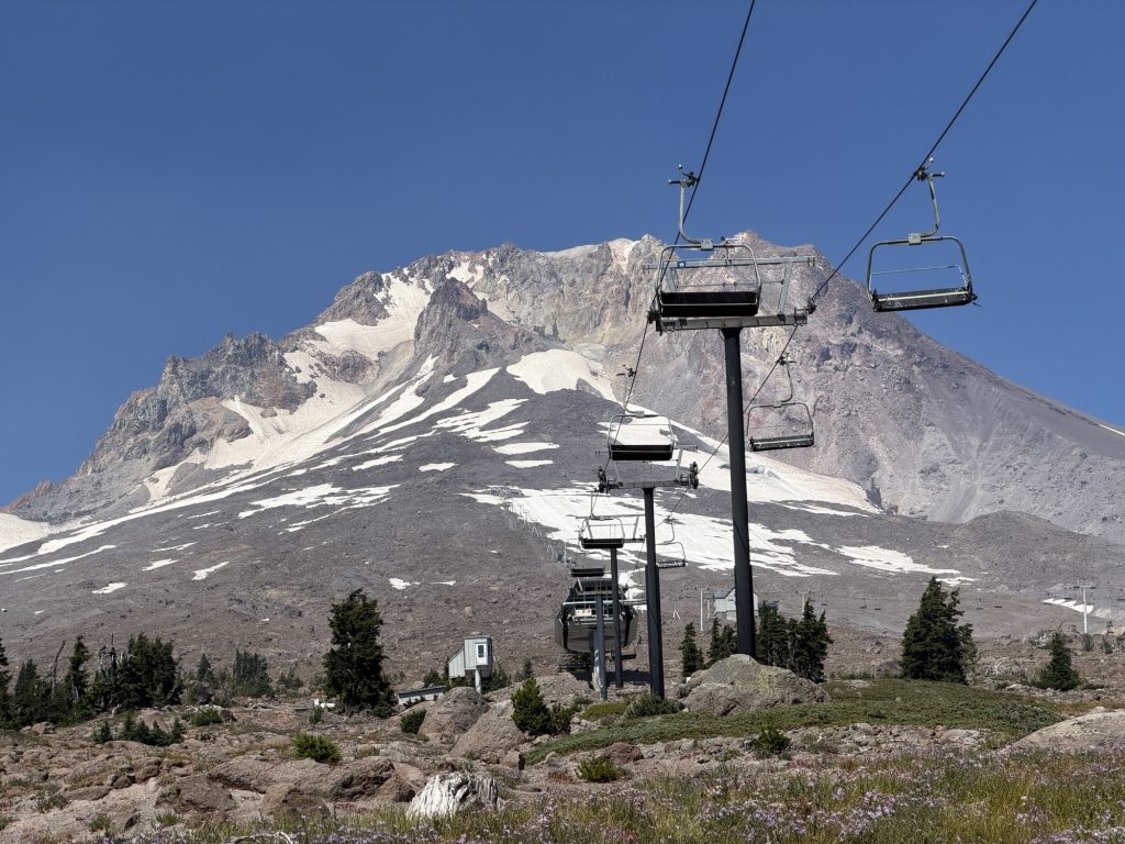
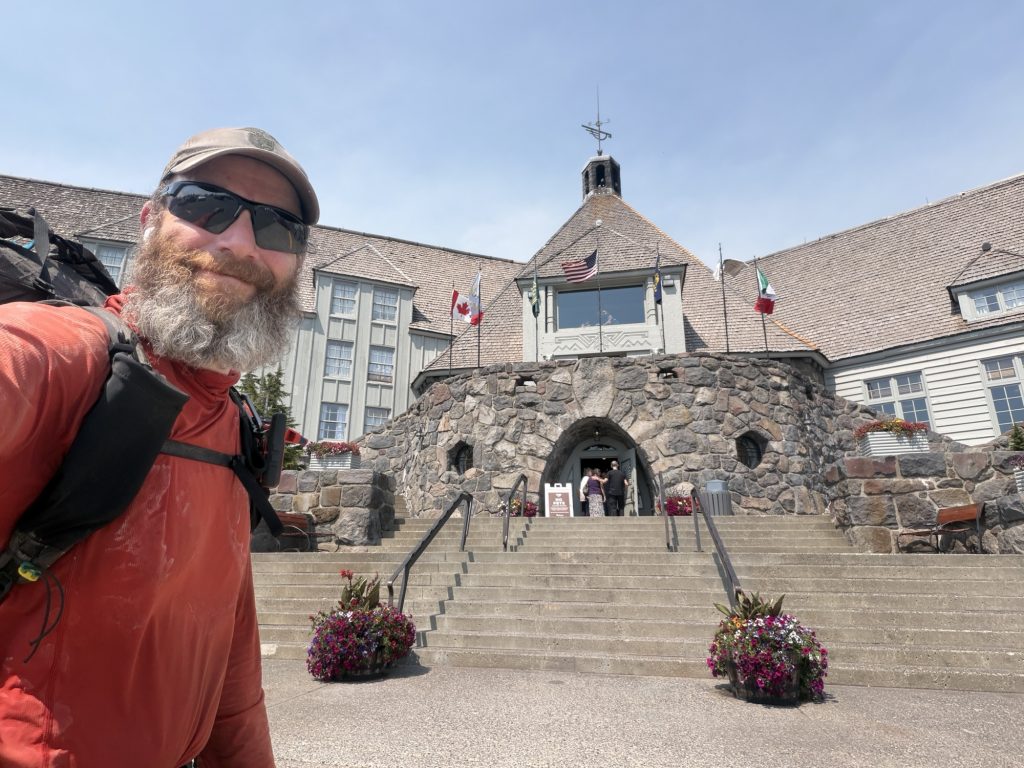
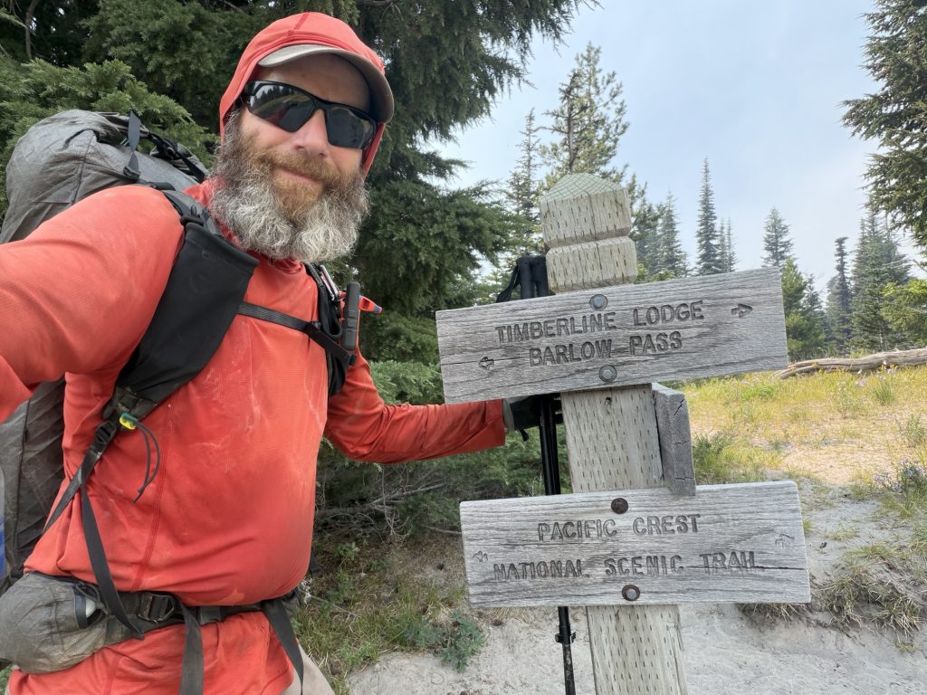
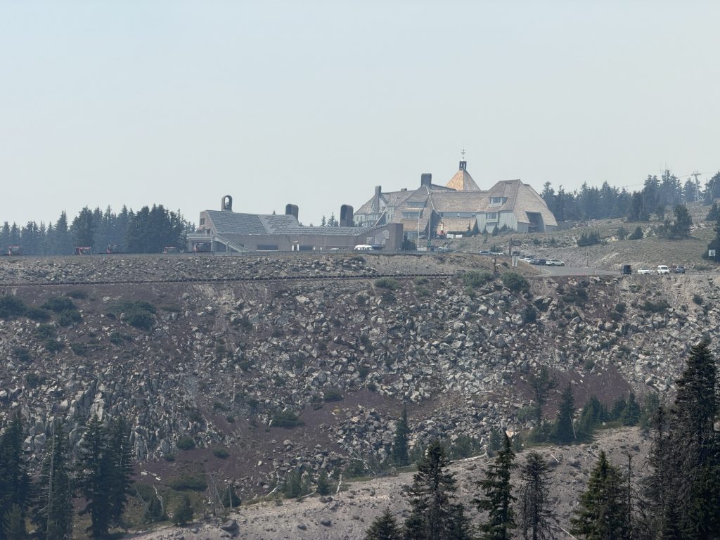
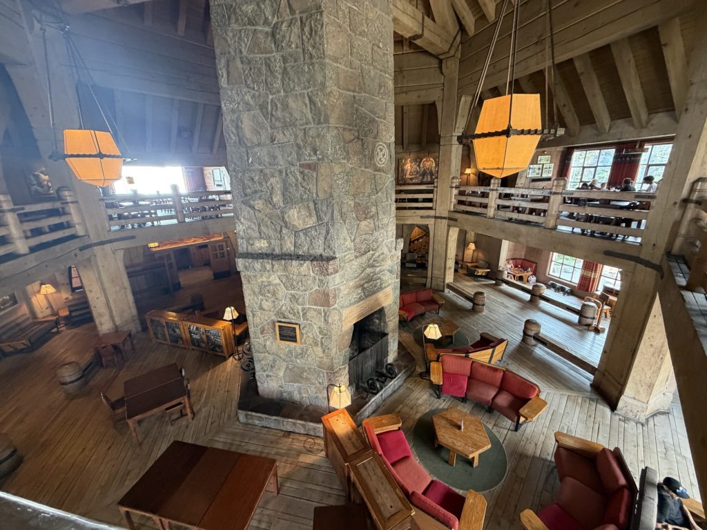
Timberline Lodge sits at roughly the 2,100-mile mark on the Pacific Crest Trail and is one of the most iconic landmarks on the entire hike. Built in the 1930s as part of the Works Progress Administration, it’s also famous as the exterior filming location for the Overlook Hotel in The Shining. For decades, it has been a place where thru-hikers celebrate with its legendary all-you-can-eat breakfast buffet. Unfortunately, the buffet was discontinued this year.
Reaching 2,100 miles should have been a celebration.
Instead, I arrived to find staff laying out fire hoses and positioning sprinklers around the historic lodge in preparation for the approaching wildfire.
Standing there watching that unfold, I had one overwhelming thought.
What the hell am I doing hiking in this?
There’s a difference between hiking through uncomfortable conditions and hiking through unsafe ones. Heat, sore feet, exhaustion, and even smoke are all part of the experience. Hiking uphill through hazardous air quality while ash falls from the sky, inside an active evacuation zone with a wildfire only a few miles away, felt like crossing that line.
So I made the decision to temporarily leave the trail.
Fortunately, Timberline Lodge has a straightforward escape route. I caught the shuttle down the mountain, transferred to a bus, then onto the train into Portland. It wasn’t how I imagined today ending, but sometimes the smartest decision on a thru-hike is knowing when to stop.
The trail isn’t going anywhere. The wind will eventually shift back to the west. The smoke will clear. The fire situation will improve.
And when it does, I’ll be right back where I belong, walking north.