PCT Day 77 – Yosemite Backpackers Campground to PCT mile 952.2
June 20, 2026
Total PCT miles: 8,5
Non PCT miles: 1.9
Total: 10.4 miles / 16.7 km
Total elevation gain: 1516 ft
Total elevation loss: 1339 ft
Steps: 26964
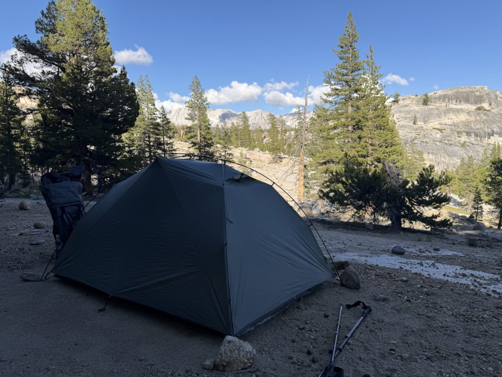
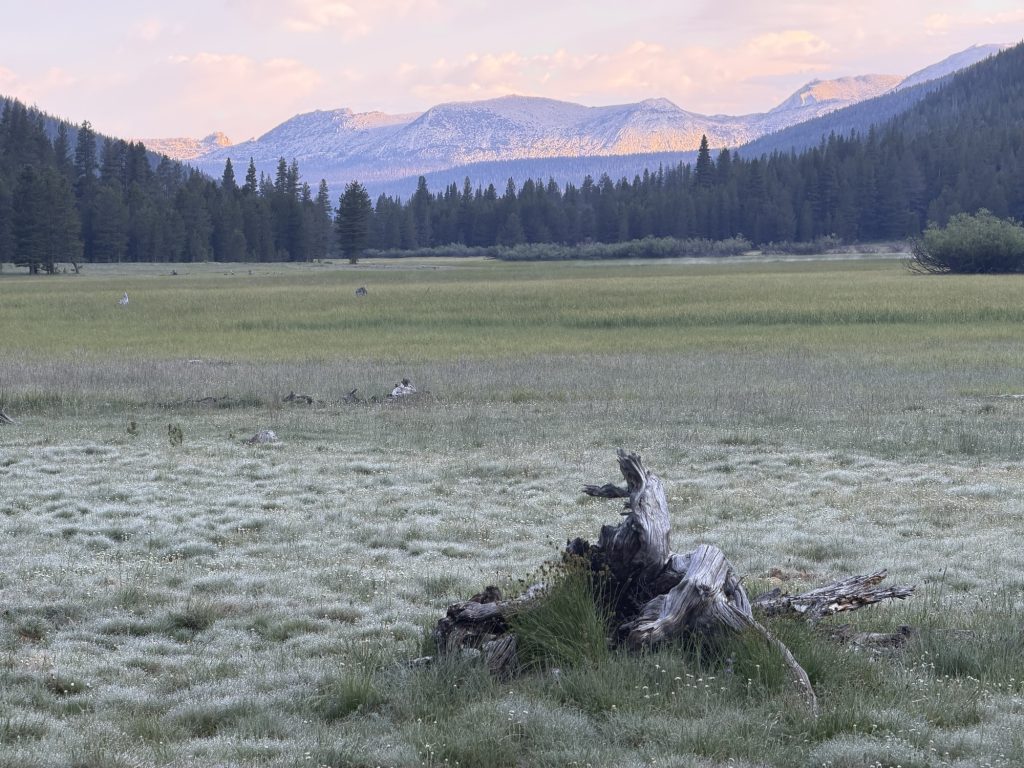
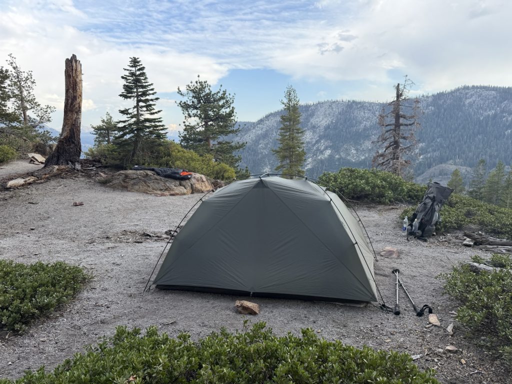
I woke up earlier than I needed to today just so I could sit outside my tent and enjoy the feeling of being in Yosemite Valley. Despite the sea of tents in the backpackers campground and the valley in general this place does truly feel magical. I had to get up at around 1 am to use the facilities and was surprised just how many stars I could see. I guess i expected a lot more light pollution.
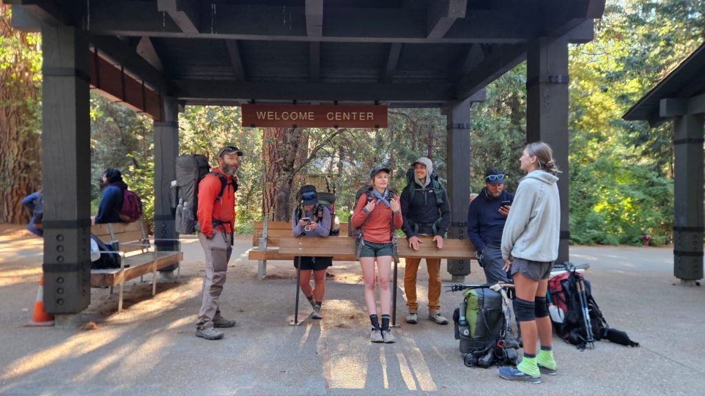
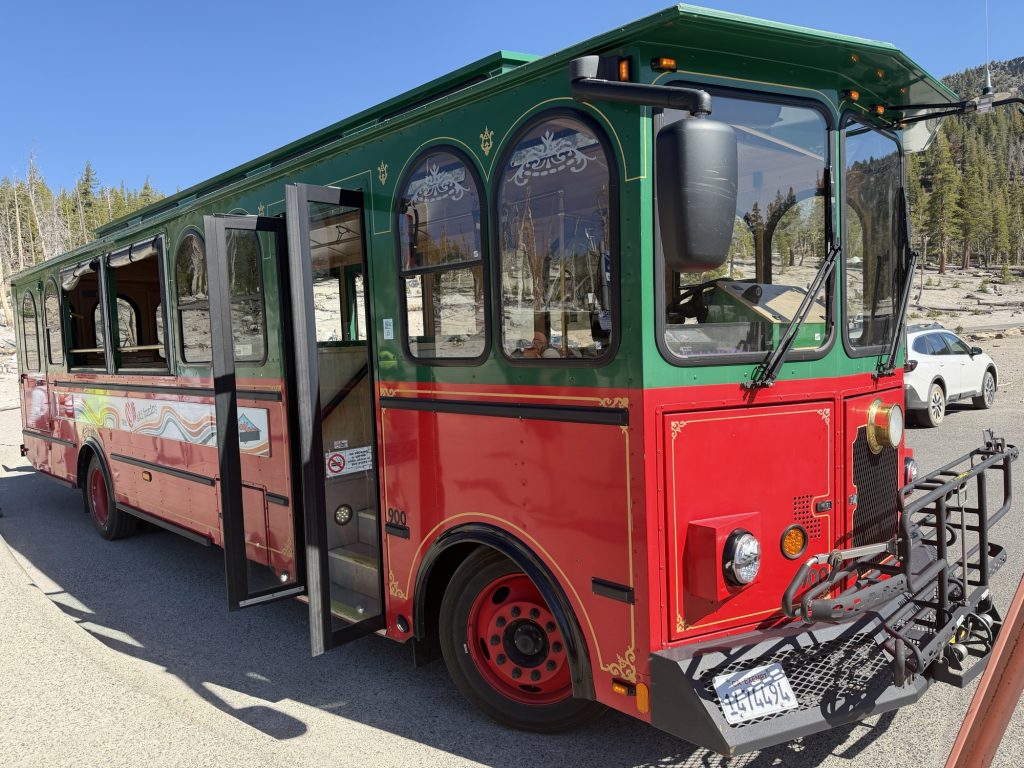
I packed up my tent slowly pretty much directly under half dome and waited for High Stakes and Patches to be ready. We had to be at the Yosemite Lodge for 0820 hrs to catch the Tuolomme Meadows hiker shuttle as it only runs once a day. My preference was to take the bus over hitching back as I wasn’t even sure where in the valley I would even attempt a hitch. The lodge was about 2.5 miles from our campsite but because we attempted to wait for the bus to take us to the bus we got there just in time. We ended up taking one bus half of the way but the other bus we needed did not show up so we just walked. Patches and another hiker ultimately decided last minute for some reason to stay in the Valley.
The hikers shuttle takes about 2 hours to get from the Valley to Tuolomme Medows. It was one of those big comfortable coach buses and it provided a great chance to have a short nap.
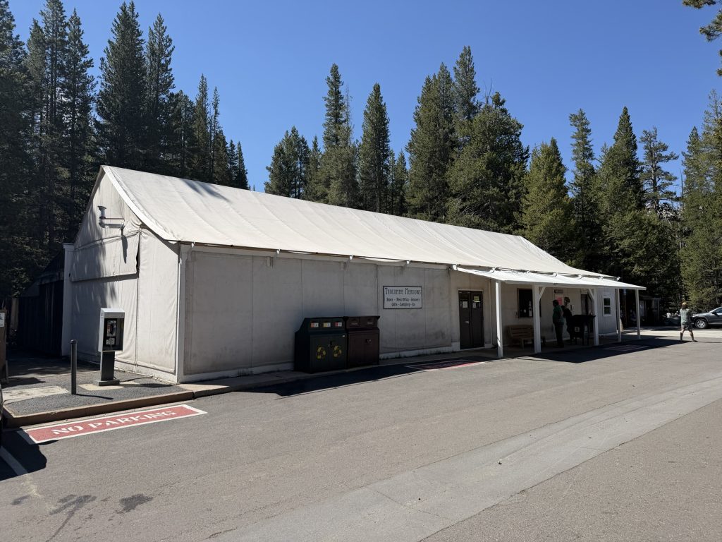
We arrived at Tuolomme Meadows at 10:30 to a whole new batch of hikers, most of which I’ve never met. It still seems strange to me that while on trail I see almost no PCT hikers but at these junctions or towns there seems to be quite a few.
I grabbed a second breakfast and packed out a sandwich for dinner tonight but just before we were about to leave Pinecone and Sage showed up. They had done an overnight hike in the valley and were just getting back onto the PCT.
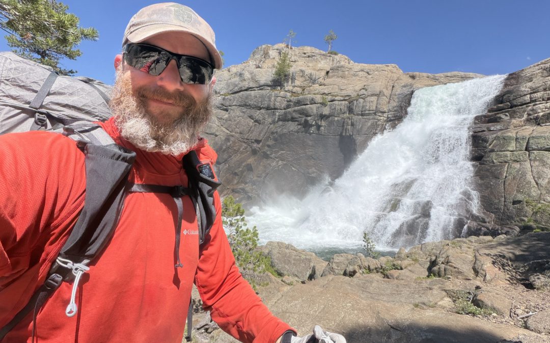
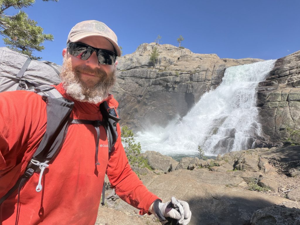
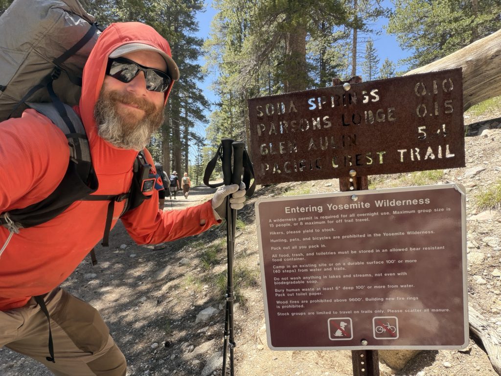
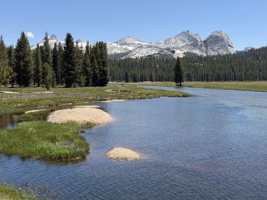
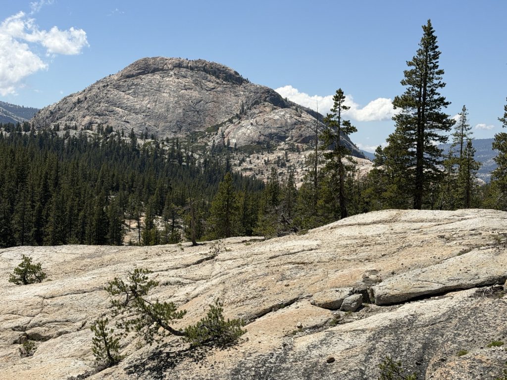
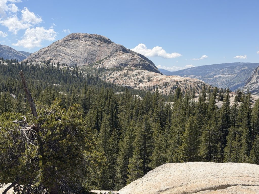
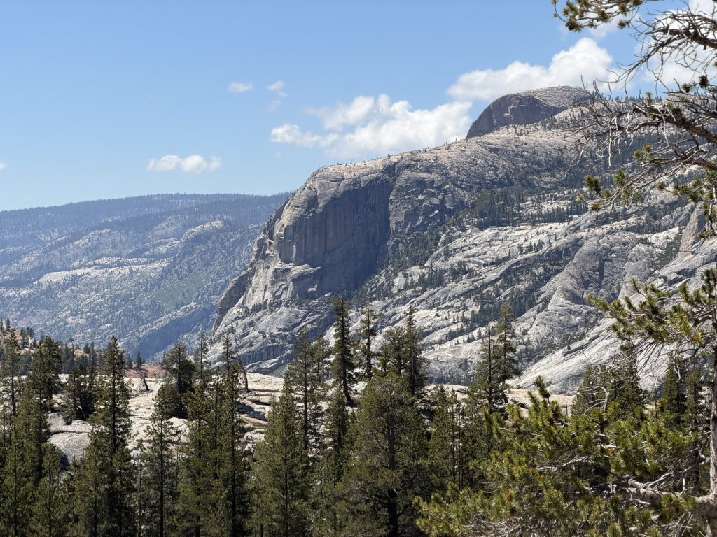
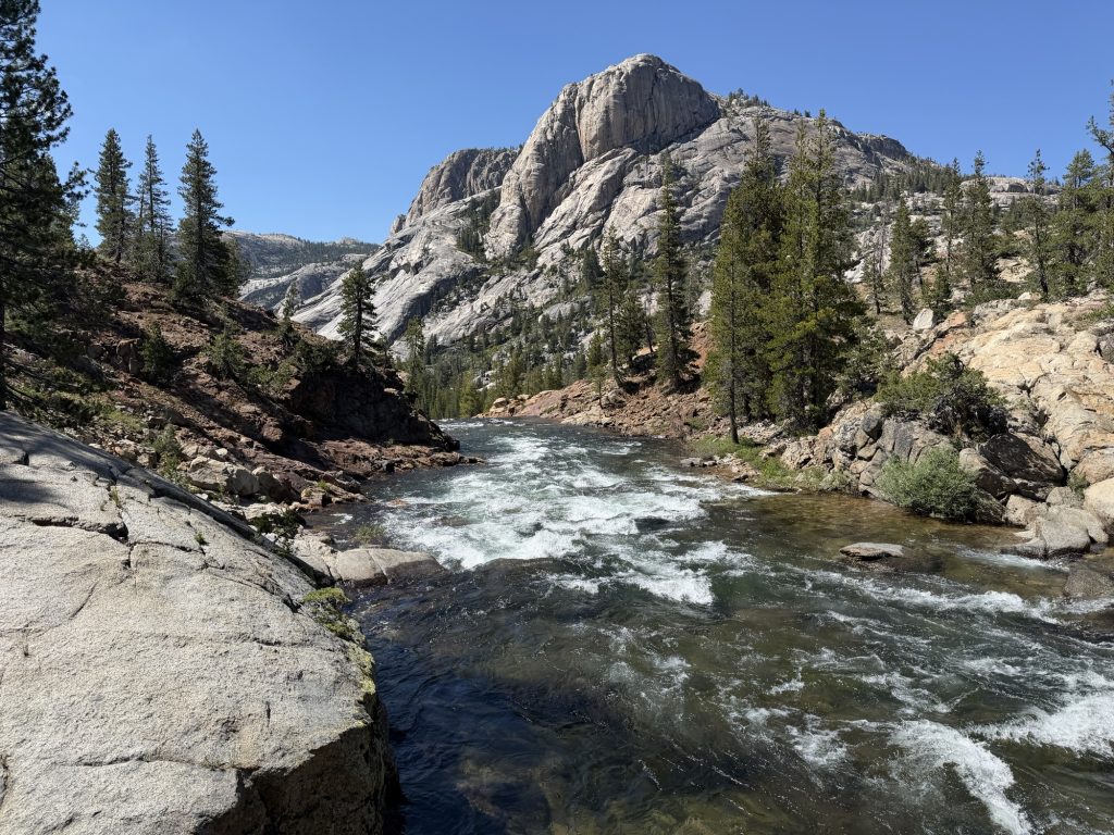
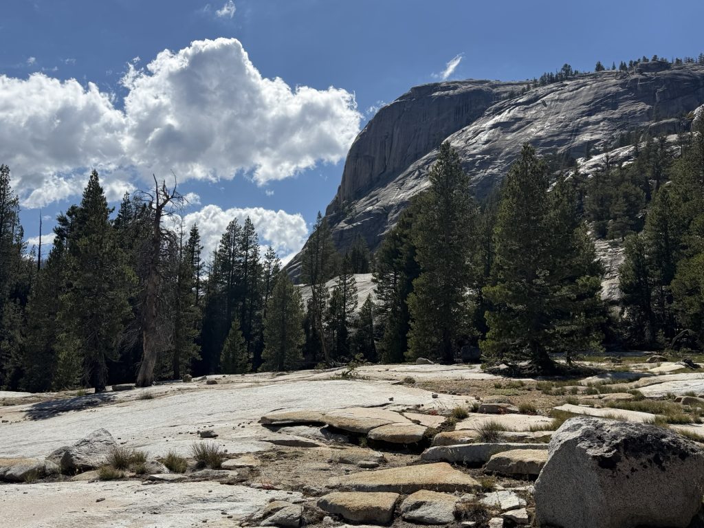
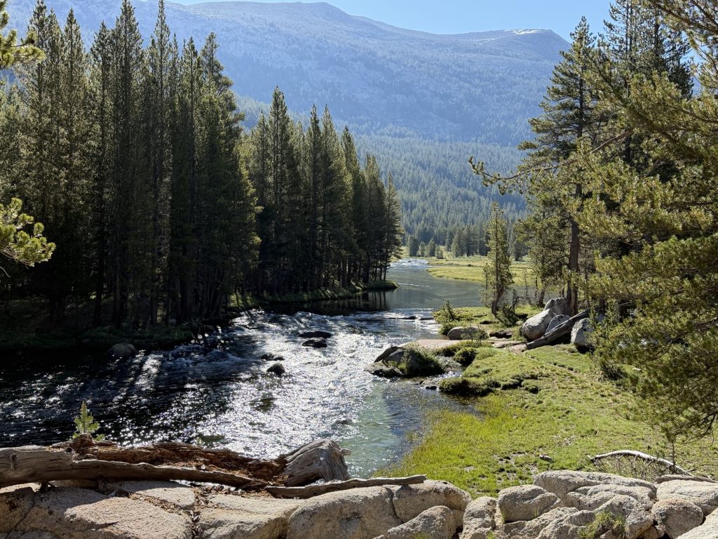
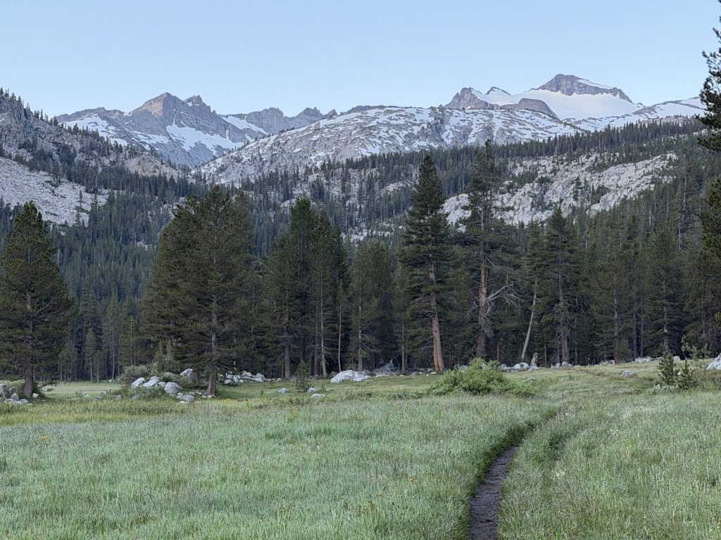
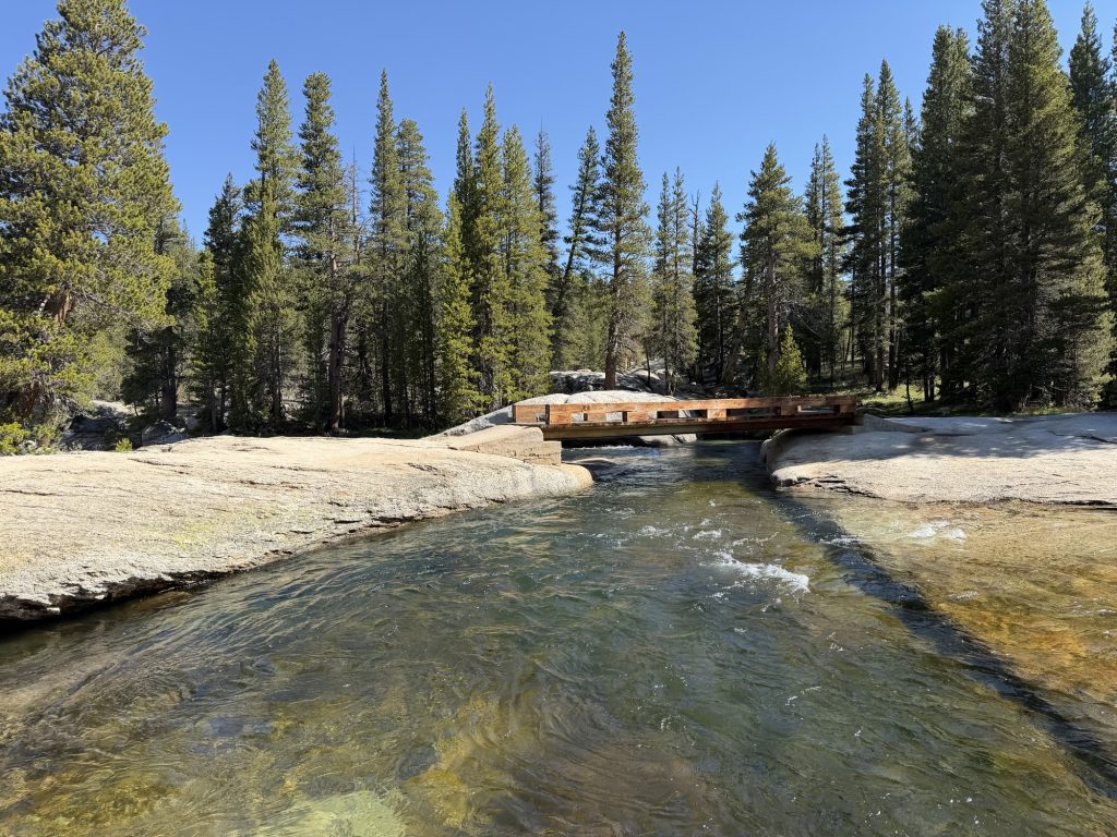
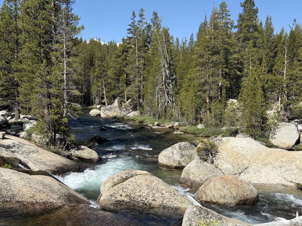
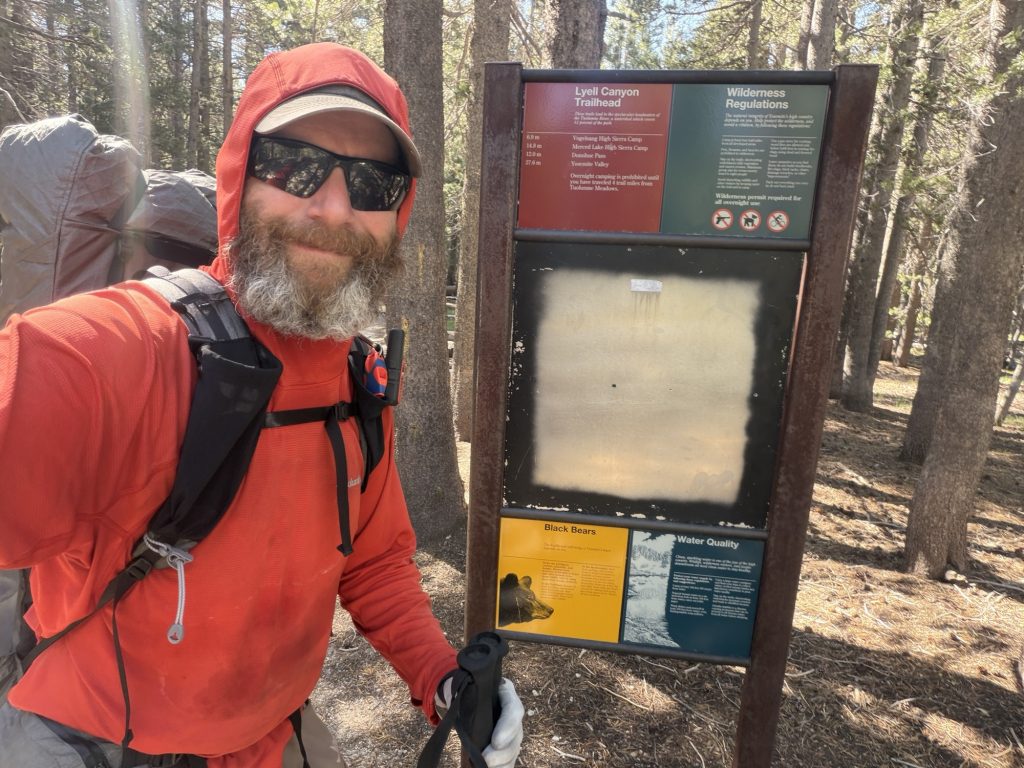
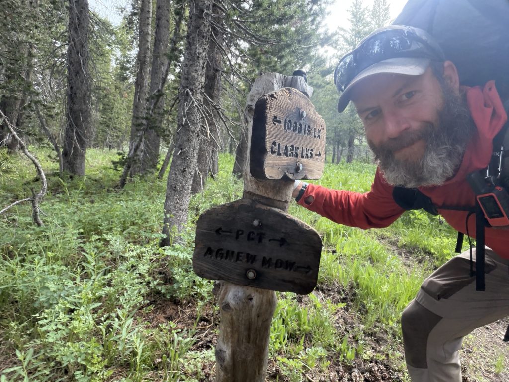
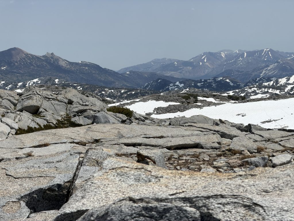
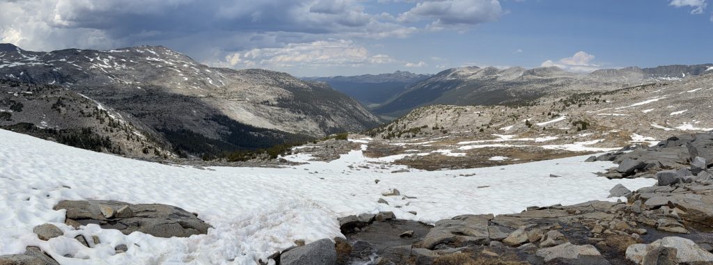
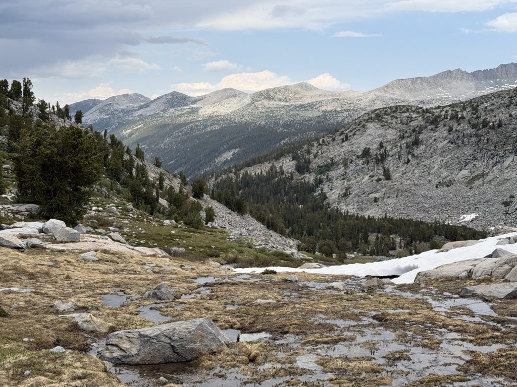
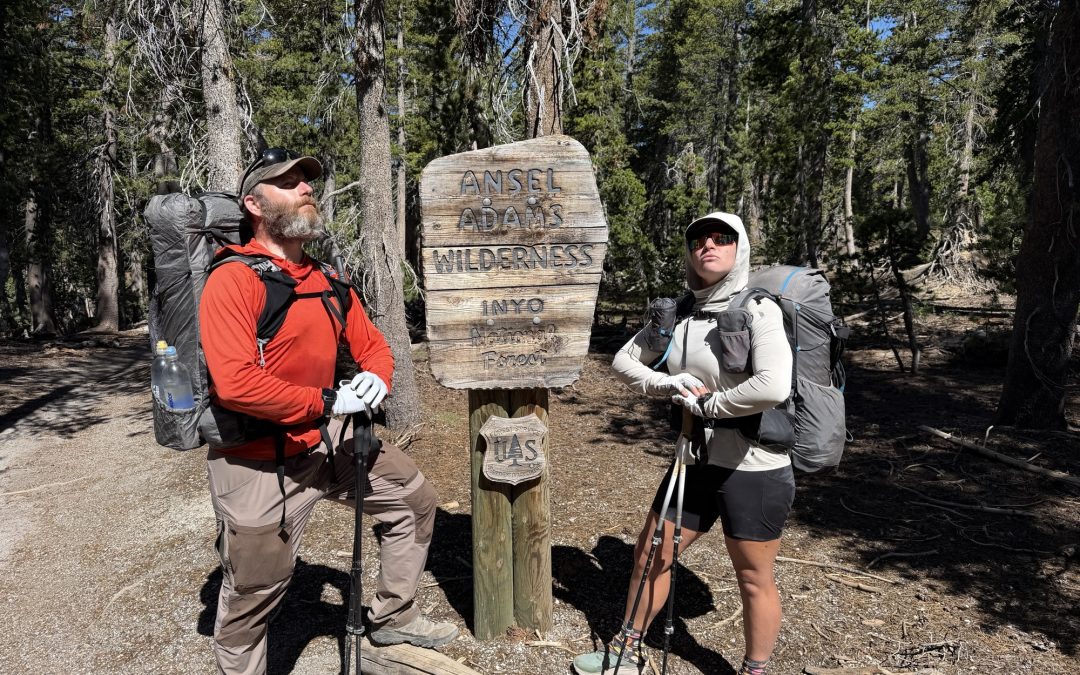
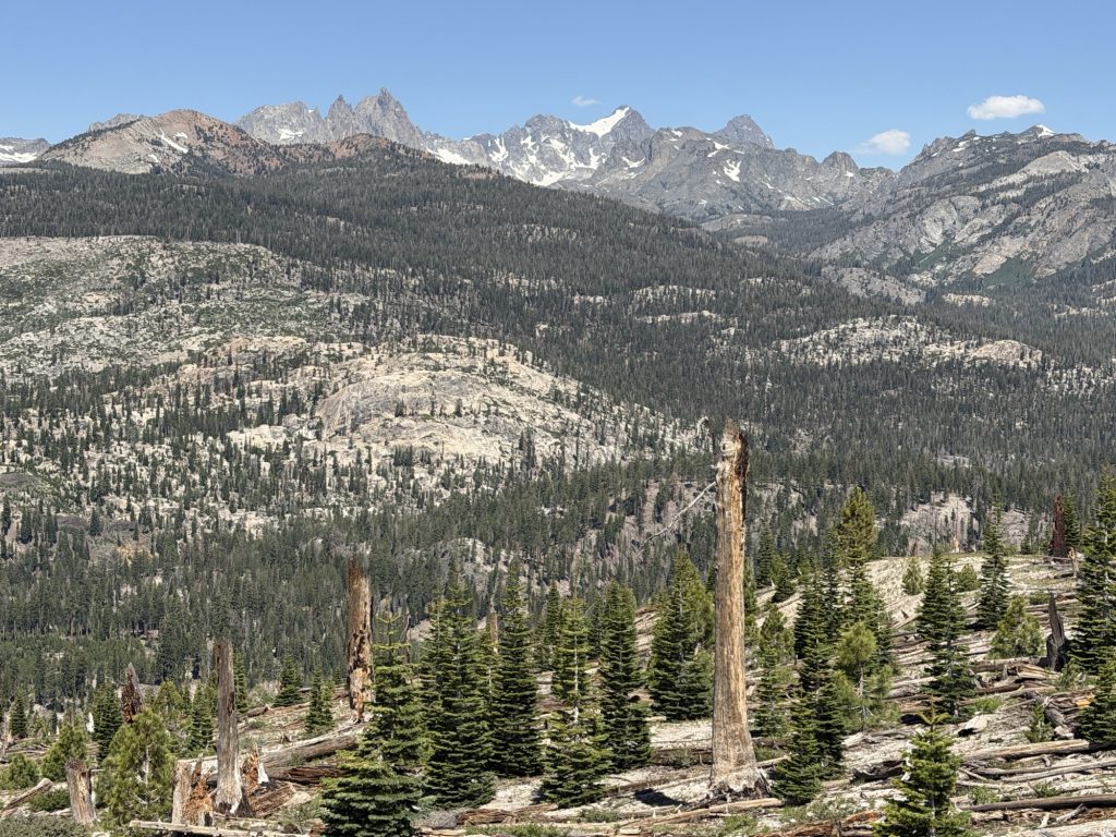
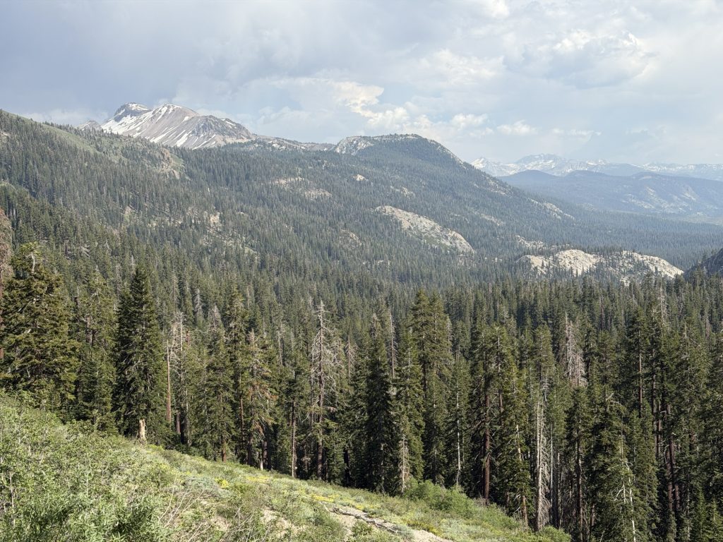
Finally High Stakes and I left the General store at 1230 and made our way towards the trail, briefly going the wrong way. The first 6.3 miles of the trail it is illegal to disperse camp so we had to walk at least that far. The backcountry here is beautiful but no where near as much as the valley.
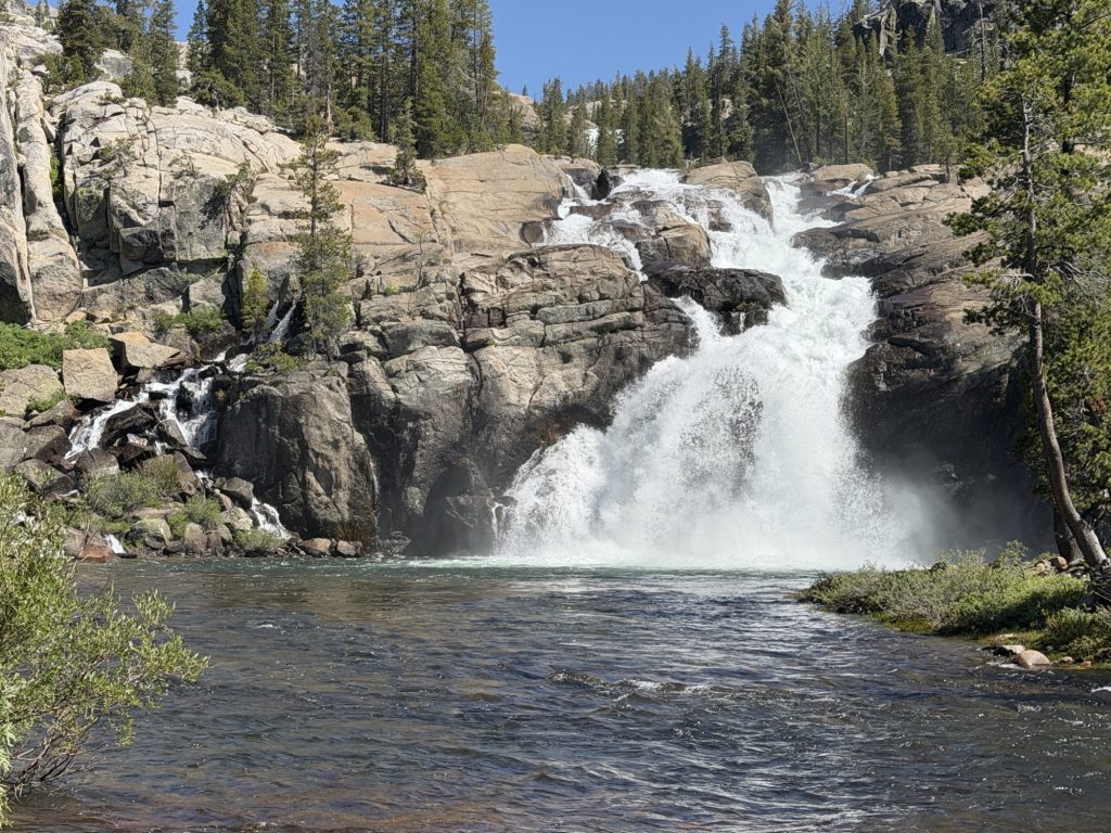
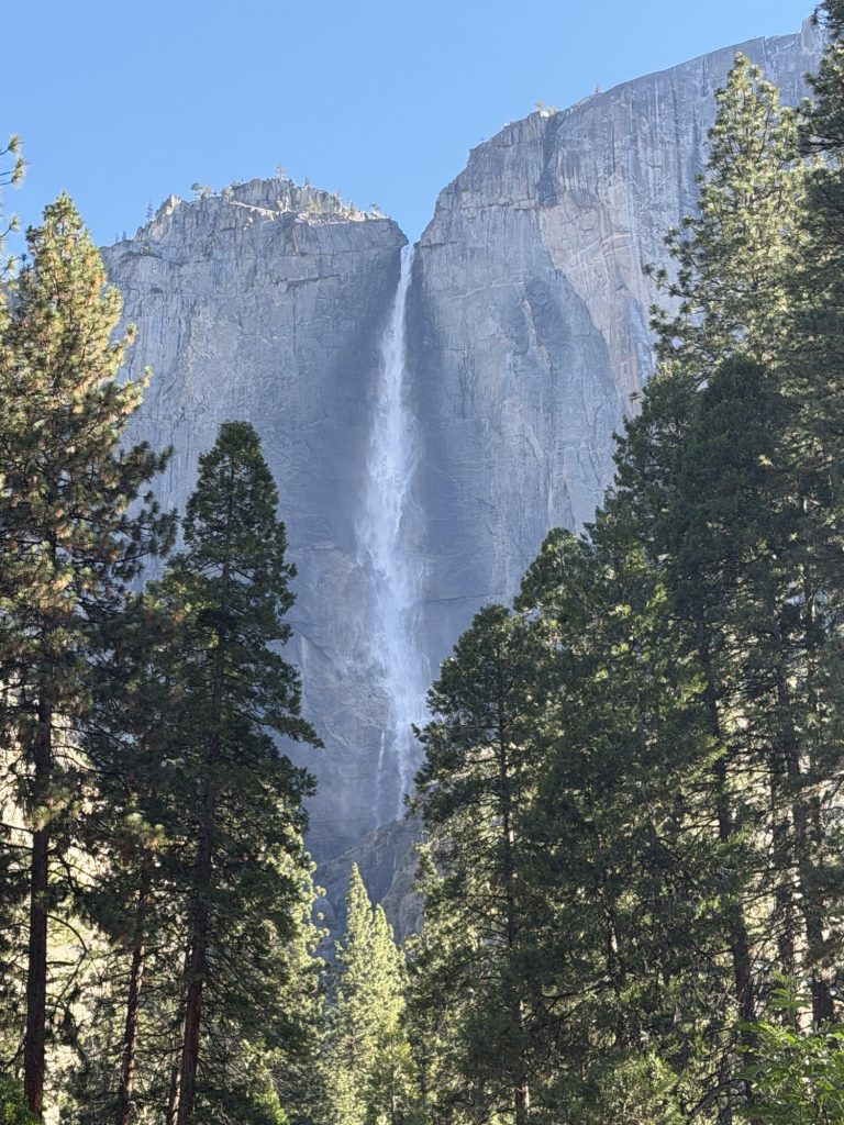
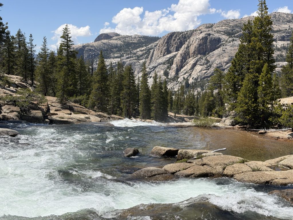
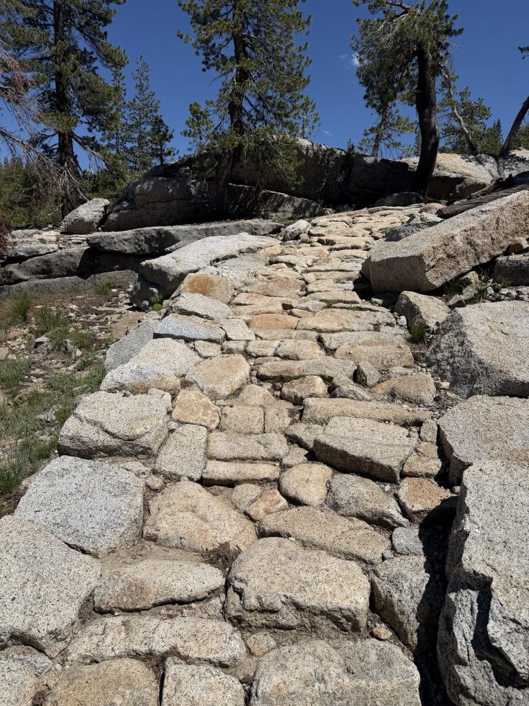
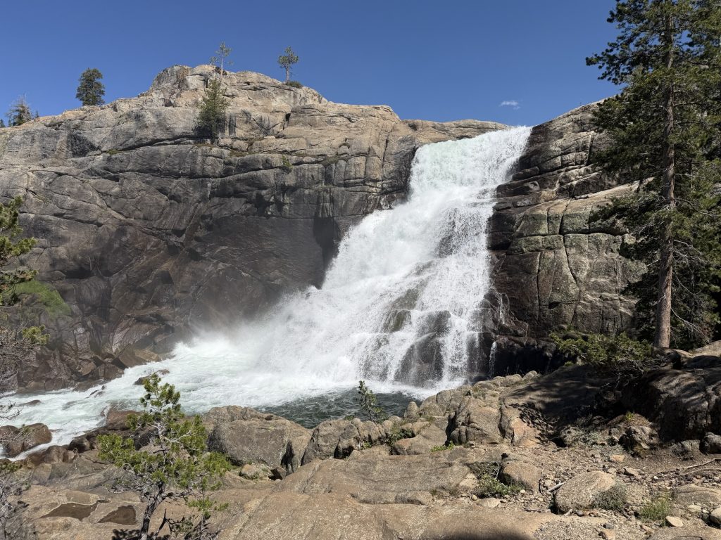
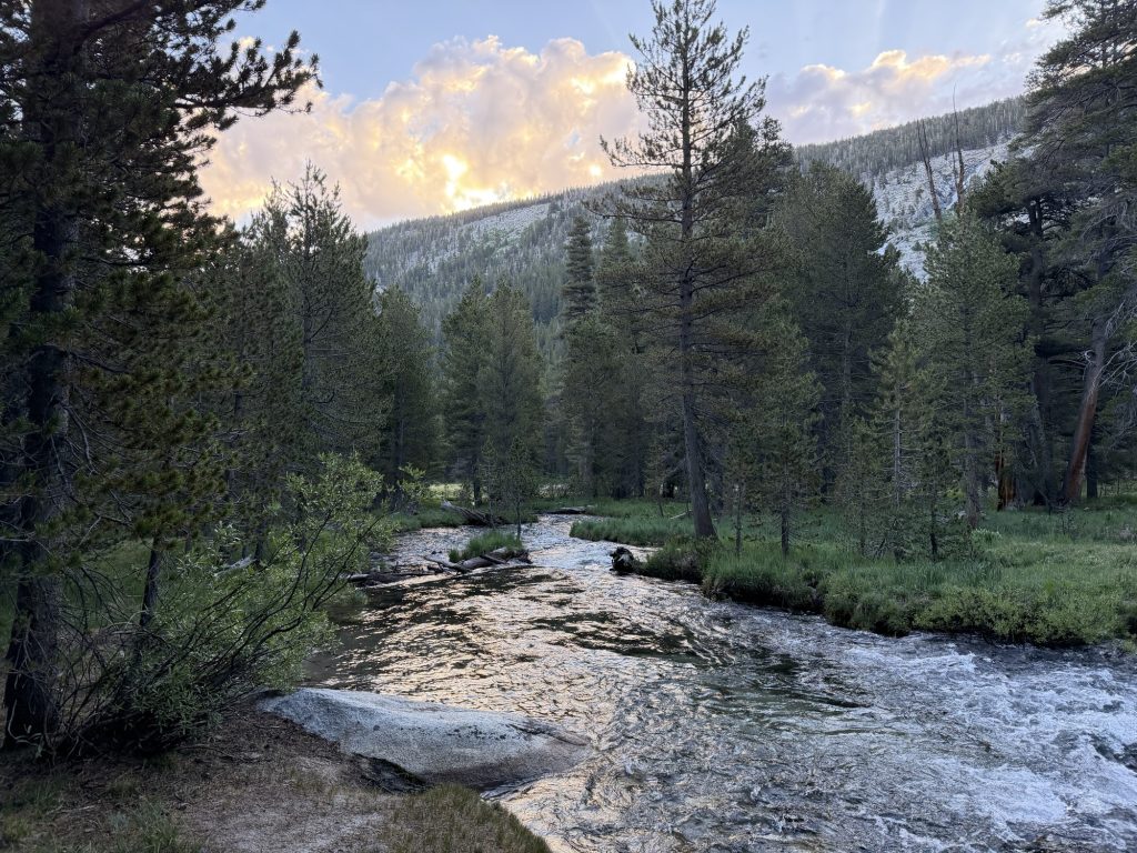
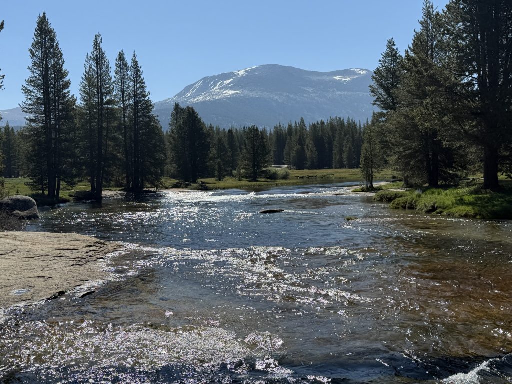
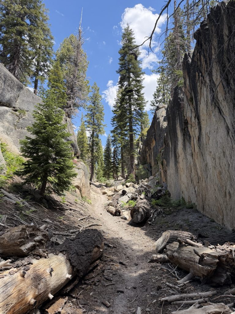
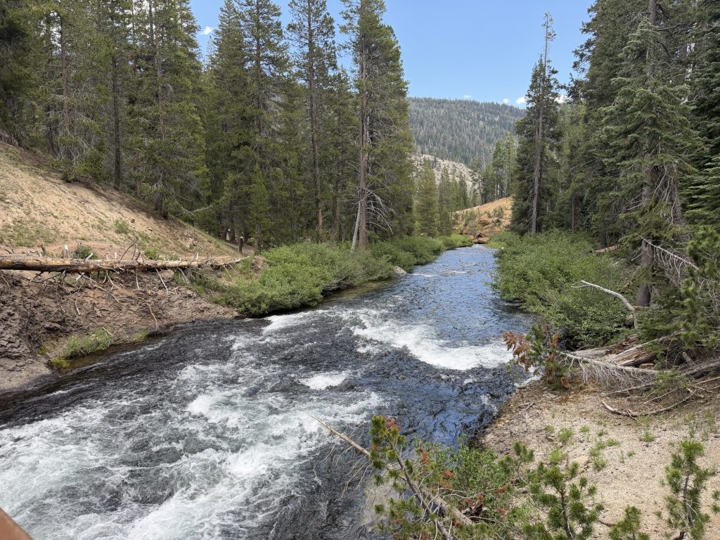
We made a quick stop at Soda Springs which is a natural carbonated spring water that apparently science can’t explain why it’s there. We then followed a river along fairly flat trail which then became a waterfall. Over all the trail is in amazing condition but I’m not sure who decided that steps should be made out of small sharp pointed rocks because they are extreamly annoying to walk on.
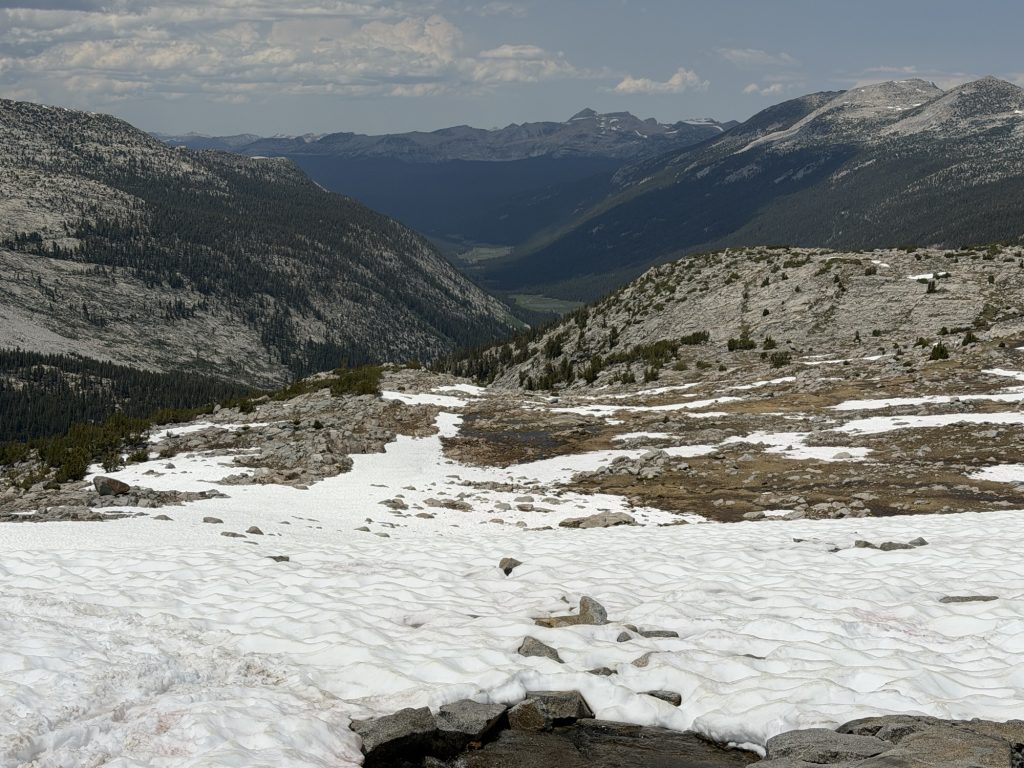
At the end of the waterfall we started climbing and finally exited the no camping zone. We were with Sage and Pinecone and tried multiple times to find a place to camp together but ultimately ended up at different spots.
My leg pain continues to annoy me. It starts after a few miles of hiking and goes away after a bit of rest only to come back again. It might be sciatic pain? I don’t know.
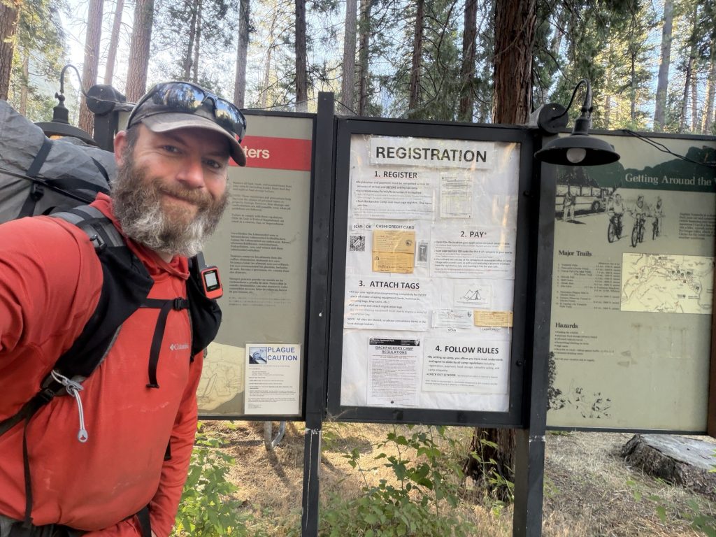
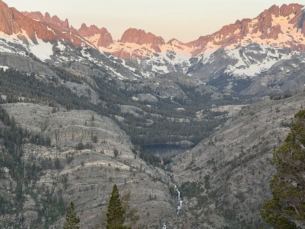
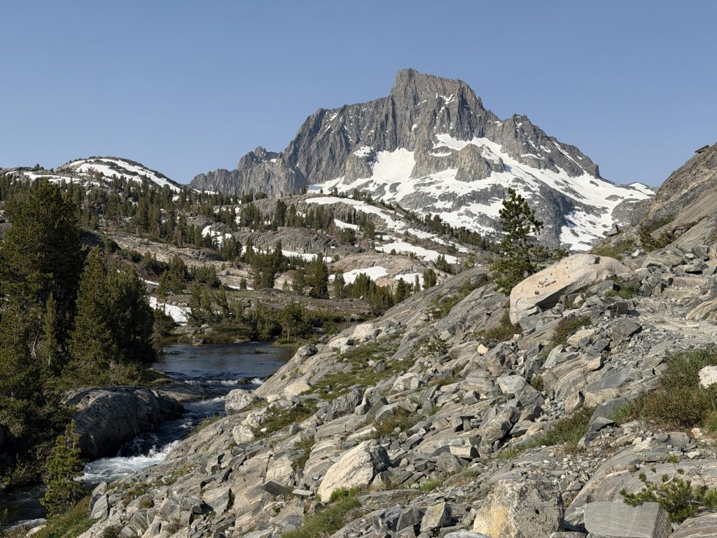
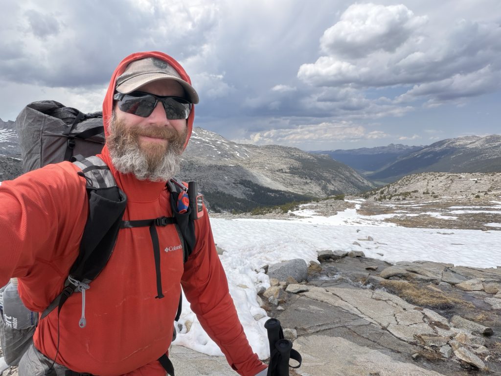
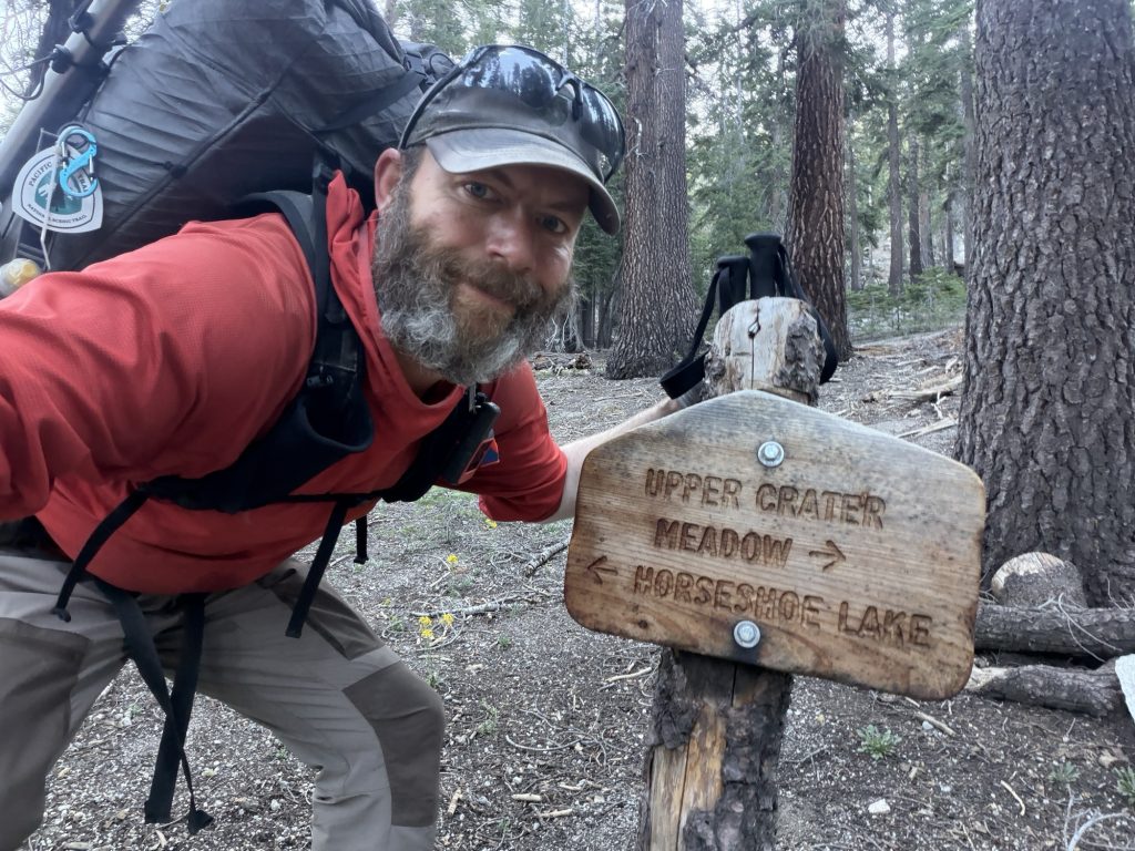
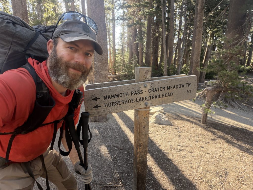
These steep small rock steps are super annoying. Waiting for the bus that never came.
PCT Day 76 – PCT mile 934.2 to Yosemite Backpackers Campground
June 19, 2026
Total PCT miles: 9.5
Non PCT miles: 1
Total: 10.5 miles / 16.9 km
Total elevation gain: 699 ft
Total elevation loss: 1171 ft
Steps: 27148
It seem my streak of not sleeping well continues. I was up multiple times last night for no real reason. I’m not sure why I’m not sleeping well. I’m not at high elevation, it was a relatively pleasant temperature outside (maybe a touch on the warm side), there was white noise curtosey of the nearby river and I was exhausted. Falling asleep was no issue but staying asleep seems to be the challenge.
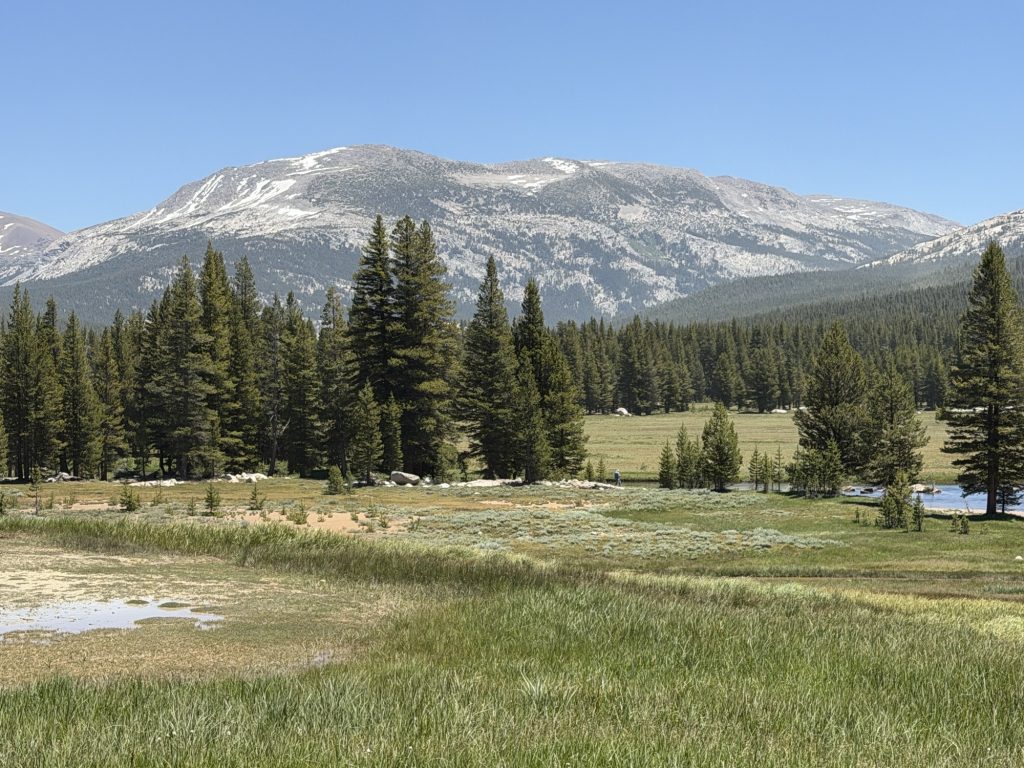
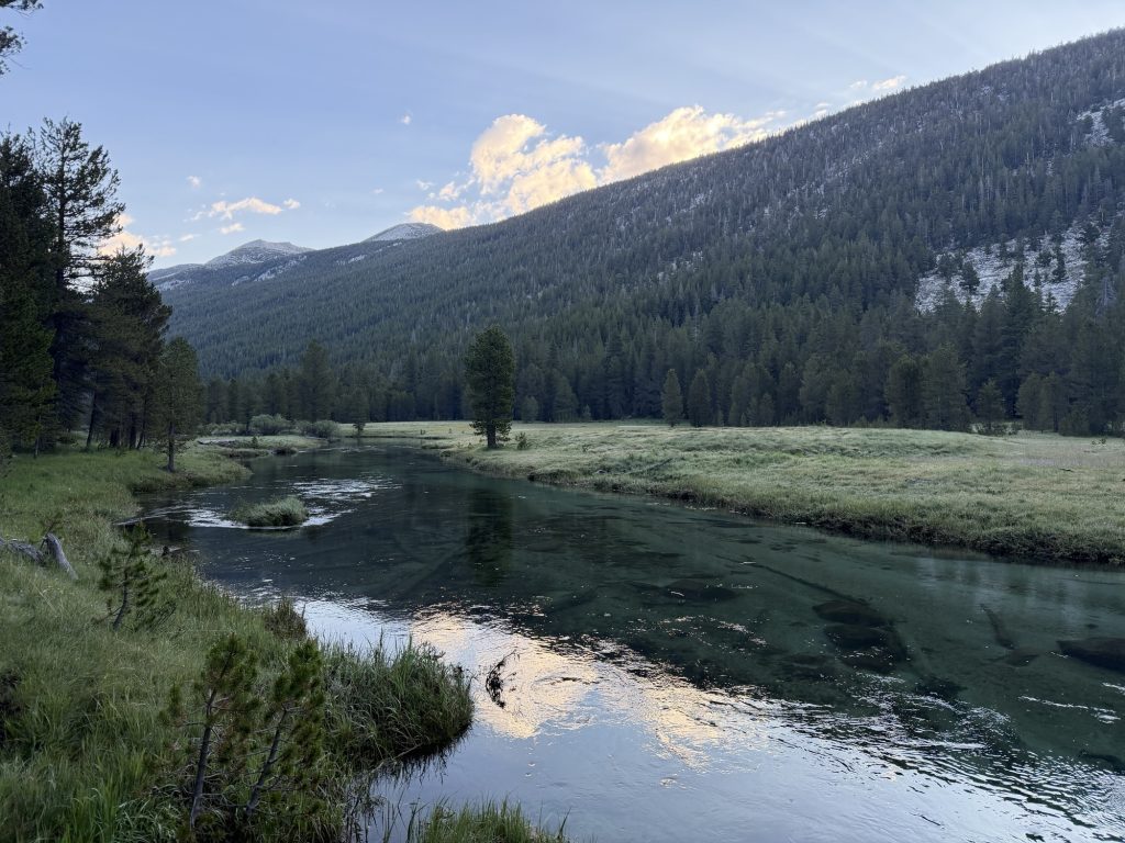
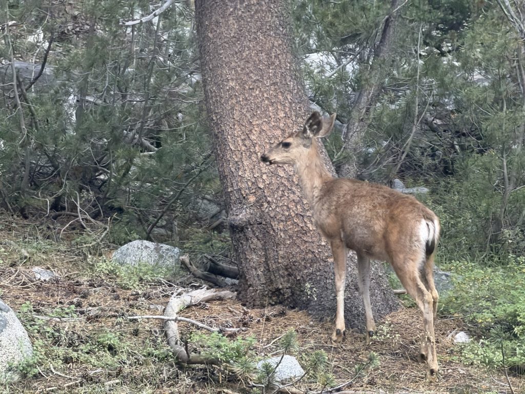
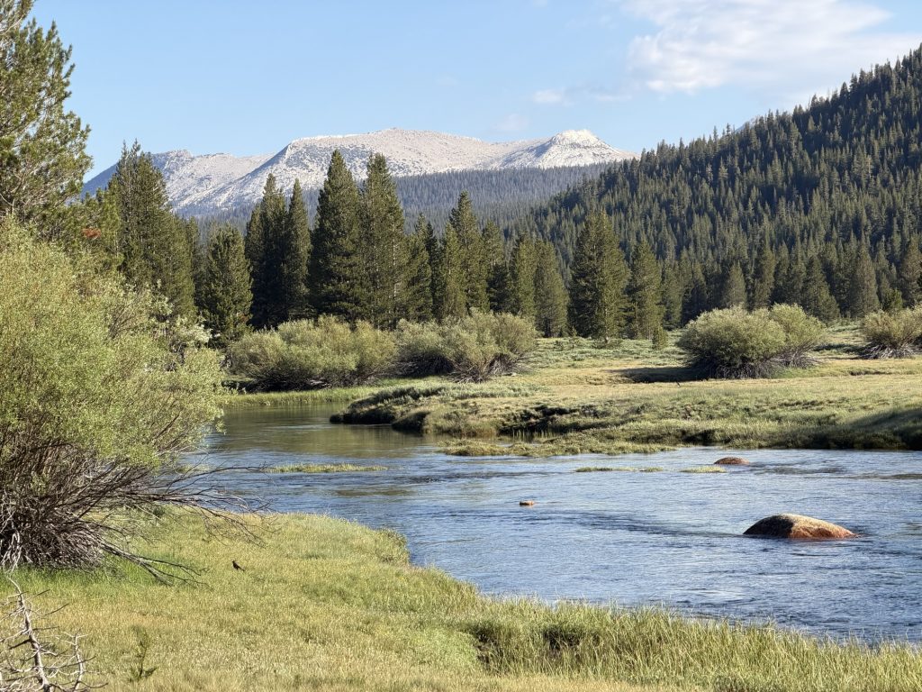
We were on trail today at 0600 destined for the Tuolumme Meadows general store. Here the plan was to do a quick top up of the resupply and grab a delicious meal. The hike this morning brought us through Lyle Canyon and the biggest stereotypical Yosemite meadow you can imagine. The best part is that the trail was basically flat with a slight decline for the entire way! Along the way we saw 5 deer and enjoyed the views of the river running down the canyon. The closer we got to the store the more day hikers we saw.
We took a short break about 5 miles in. My legs were in pain. It seem I am reliably getting pain from both ankles up my calves into my knee after 4-5 miles. After a rest it goes away and then it starts all over again. I’m not sure if it’s getting worse day by day or just the same. It is something that is starting to concern me and I’m not sure if there is much I can do about it.
We reached Tuolumme Meadows General store around 1030 in time for breakfast. There were probably near two dozen PCT hikers there. Many I’ve met on trail and a few I had not. From here many PCT hikers side quest into Yosemite Valley and some even get permits to hike Half Dome. High Stakes and I decided to go into the valley and were joined by Patches who we met two nights ago on the trail.
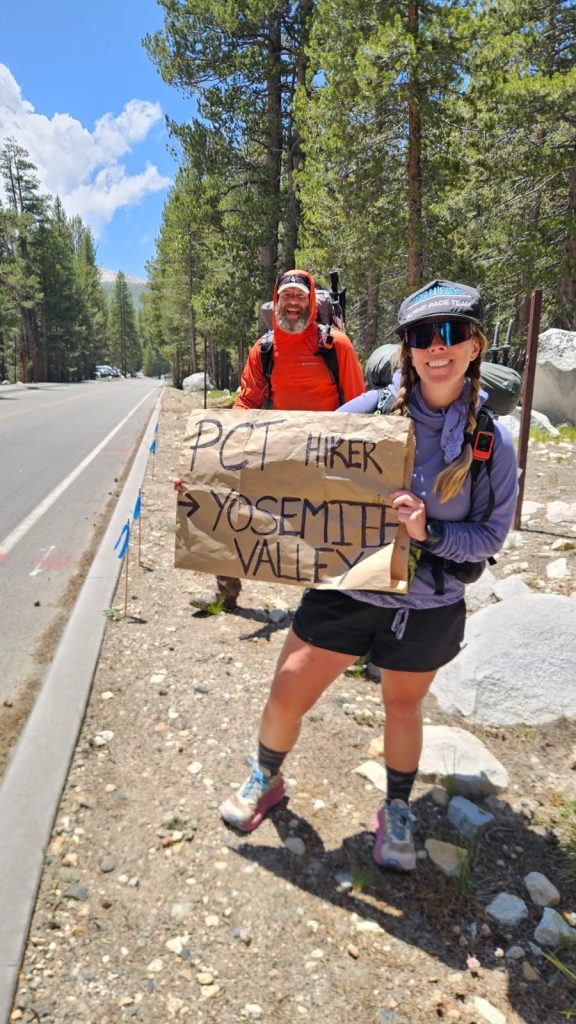
There is a bus that comes once a day to Yosemite Valley from Tuolumme Meadows but it only comes at 1400 and takes about two and a half hours. So we decided to try our luck with hitching a ride. High Stakes drew up a sign that said PCT Hiker to Yosemite Valley and we set off to try our luck. It took all of 12 minutes to get a ride to Crane Flats gas station. Funny enough we had passed two of the occupants of the vehicle earlier in Lyle Caynon. From there the third vehicle that drove past stopped and gave us a ride the rest of the way. The driver Ed used to be an EMT and had just dropped off his son who was doing a day hike.
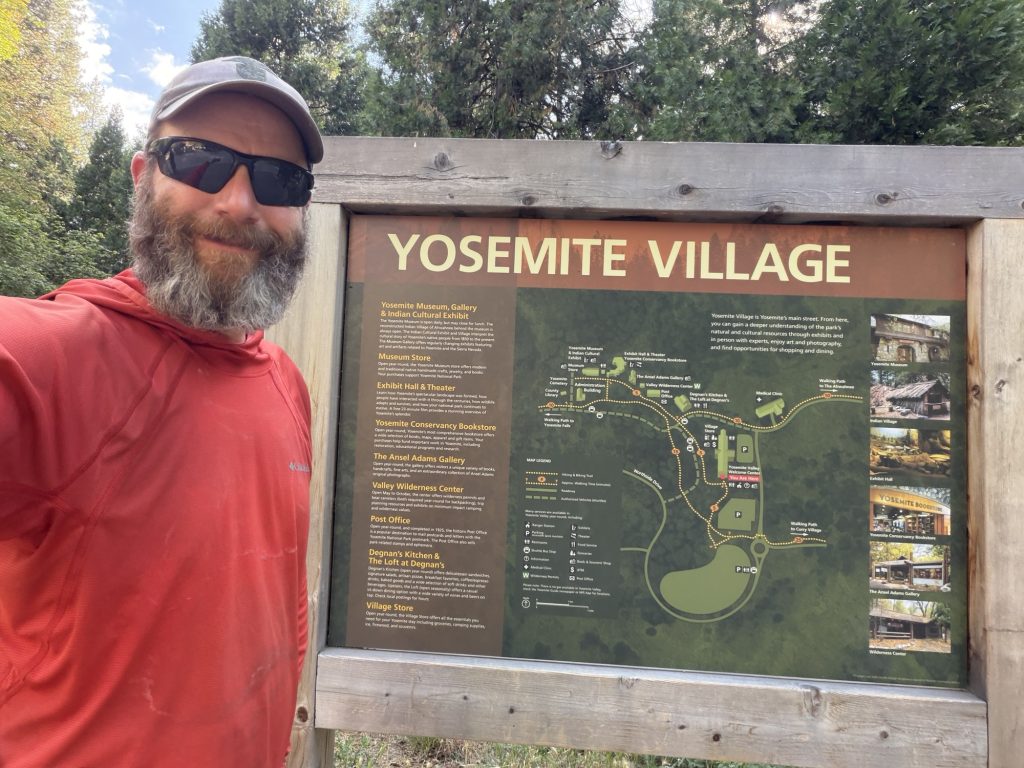
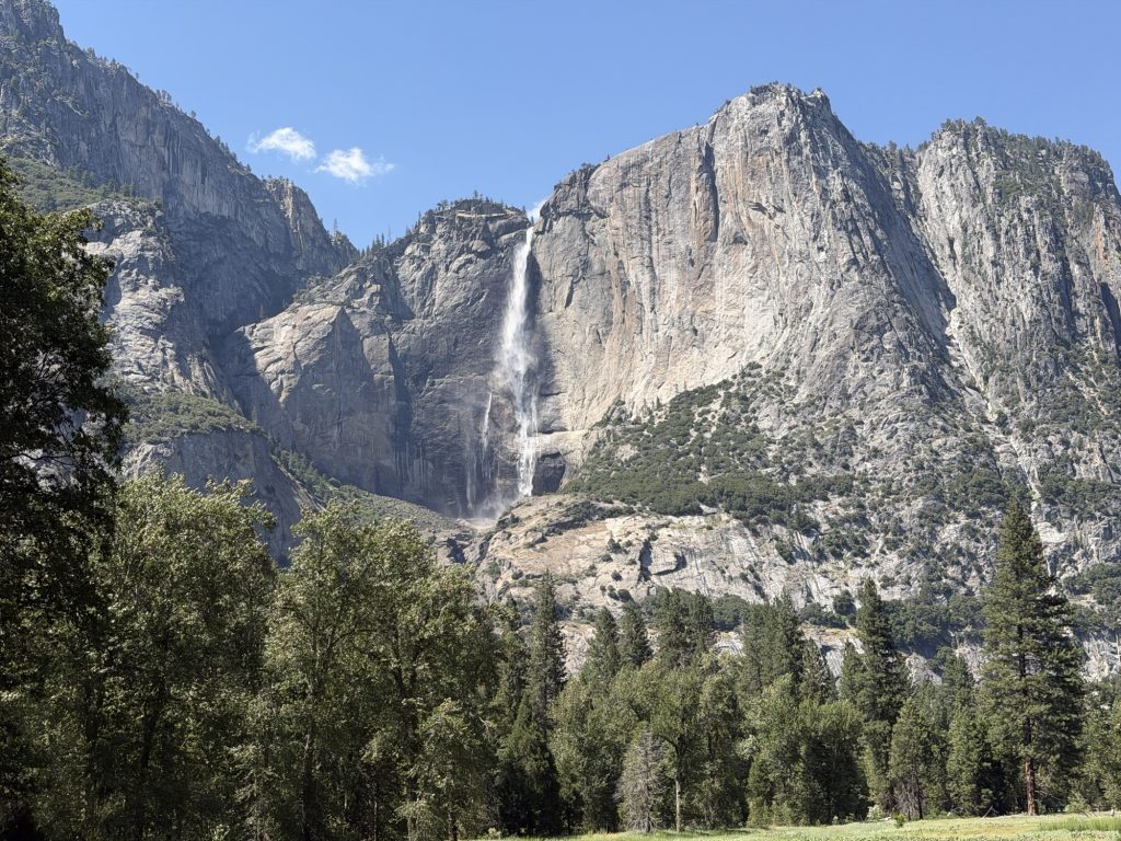
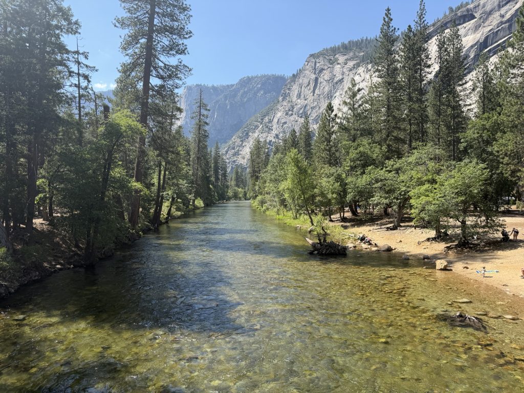
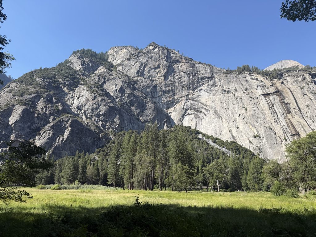
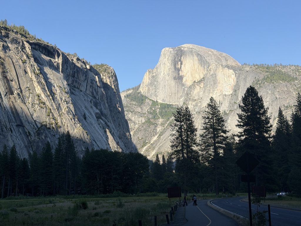
Yosemite Valley is everything I’ve heard that it is. It’s absolutely incredibly beautiful, probably one of the most beautiful places ive ever seen but it is also a zoo. It probably doesn’t help that we are here on the Friday of a long weekend. The drive into the Valley went past all the iconic places and I do really wish I had more time to enjoy it all.
As a PCT hiker there is normally a backpackers campground near Tuolomme Medows that we can stay at. It’s currently closed for reasons I have not been able to determine. But because of that we can stay at the backpackers campground in the valley without a reservation for 8$. We are only allowed to stay here for one night. The campsite is located pretty much as close to Half Dome as you can get. There are pit toilets, garbages and picnic tables. I mean what more could you ask for! There are probably 50 people camped in this area all have various wilderness permits and many are climbers. Suffice to say it probably won’t be a quiet night.
We walked into the village and thankfully got to the village grill just before it closed. I was also able to find a better ankle brace that will work much better until I get my replacement one in Tahoe. High Stakes and Patches took the bus back to the campsite but I chose to walk, take in the scenery and use the time to talk to Mel back home.
It really is a shame I won’t be able to stay here longer and I’ll definitely have to come back here someday.
I’m thankful for the low easy miles today and tomorrow should also be a relatively low and easy mile kinda day.
I am exhausted. Not in the same way I was before getting to Mammoth but more so in the way after you do the biggest workout you’ve done in a long time and then for fun decided to repeat it several times in the same day. Not sure that’s a thing anyone would actually do but that’s how I currently feel.
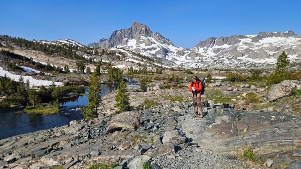
We were up early which didn’t really matter because for some reason or another I did not sleep well at all last night. On trail at 0500 to make the best out of the somewhat cool start to the day. I could feel the heat radiating from the ground… last time I felt that was in the desert. But I was thankful that the sun was hiding behind the mountains because the first few miles of the day was quite exposed and would have been a sweaty affair otherwise.
Our early start wouldn’t help make Donahue pass any easier as we wouldn’t make it there until the afternoon but it did mean we got to see the morning glow on the mountains and we would probably avoid being in the worst place if there were afternoon thunderstorms.
About 5 miles into our day and moving at a pretty good pace it happened again. I took a step and my right foot inverted inwards. I heard a crack and had an instant sharp pain. I sat down and rested for a bit and the pain fortunately went away pretty quickly. Apparently 700 miles is not enough time to completely heal my sprained ankle. I am starting to wonder how much damage I am doing to it. The only thing I have currently to help support it is an ACE bandage. So I guess I’ll be wearing that until I get my new brace in South Lake Tahoe.
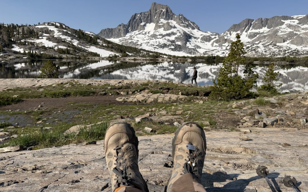
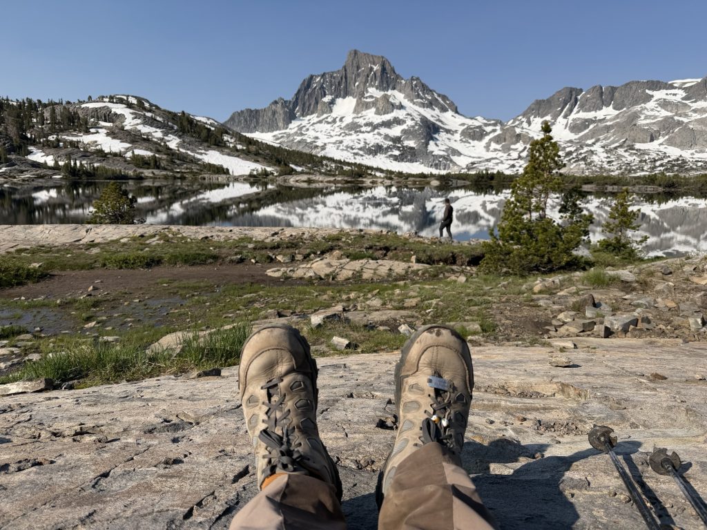
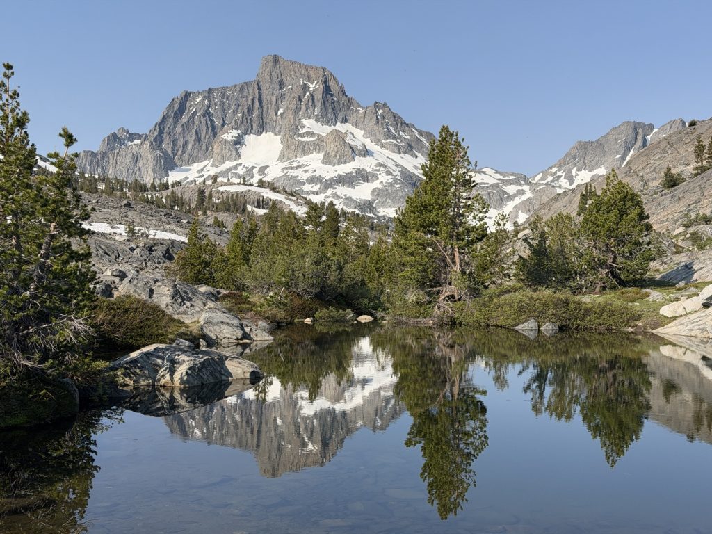
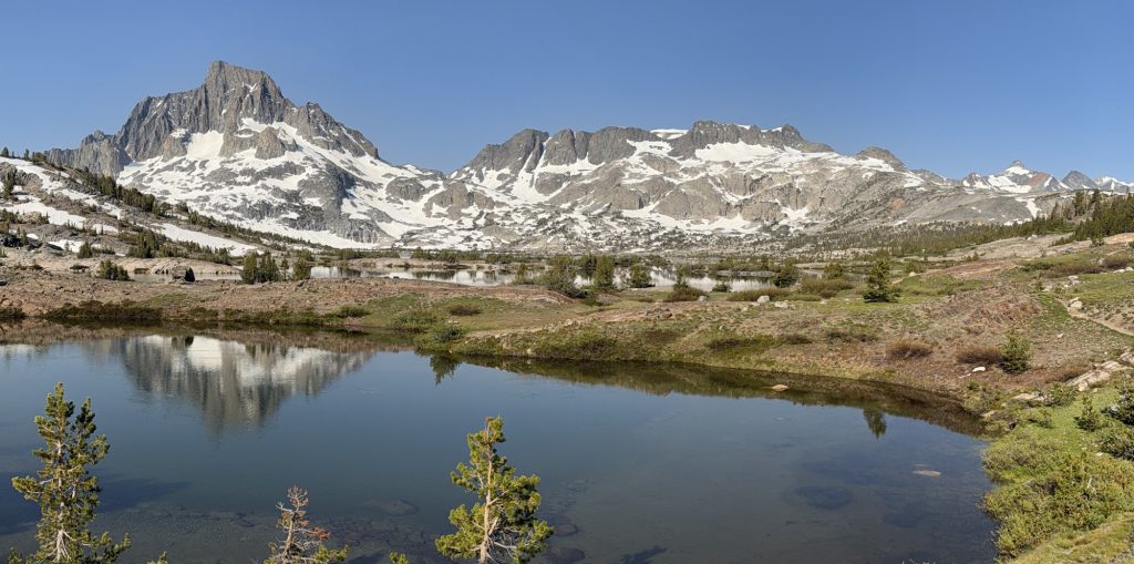
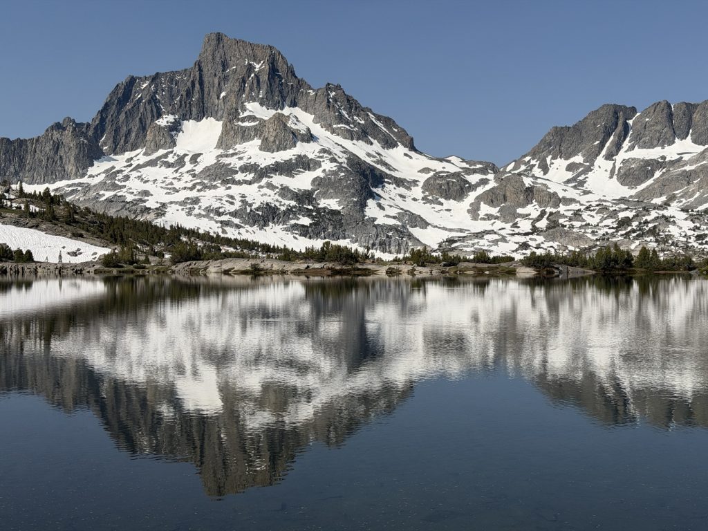
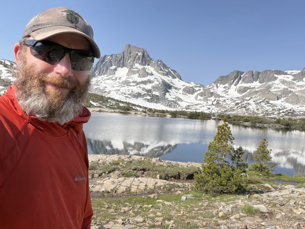
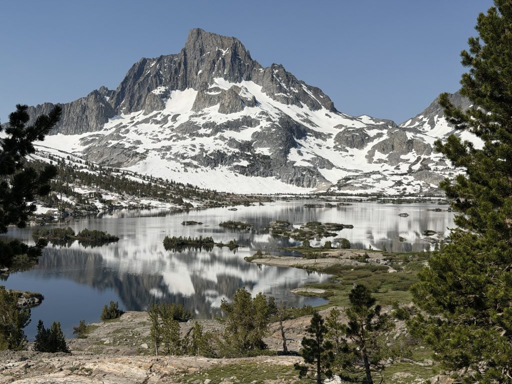
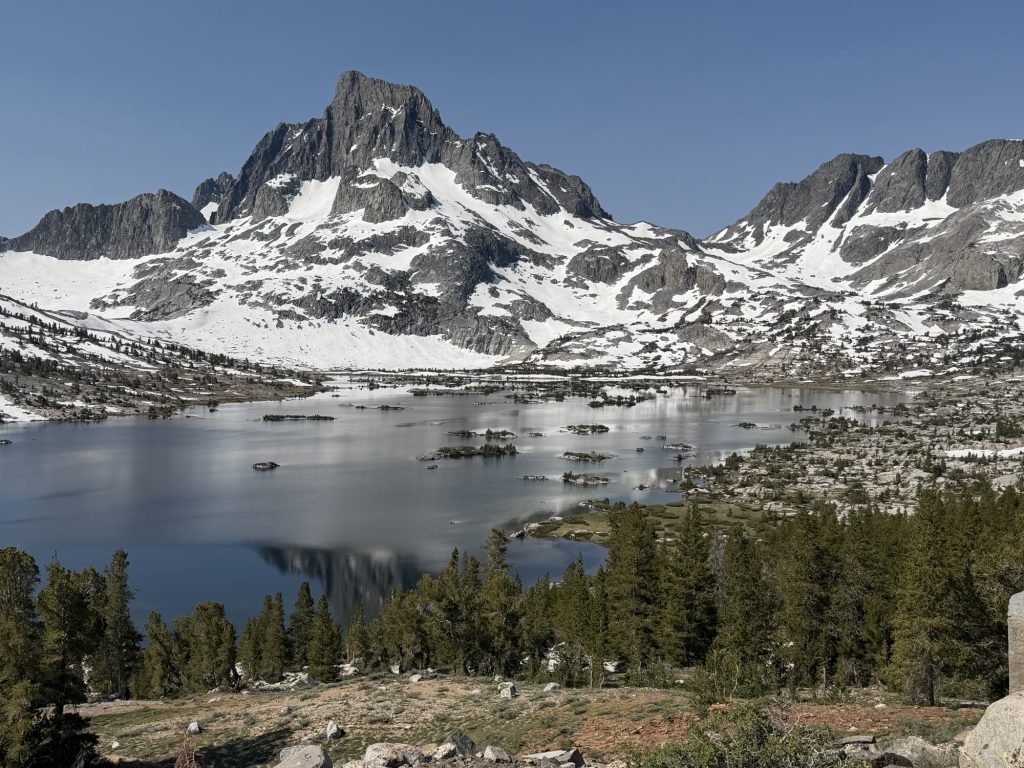
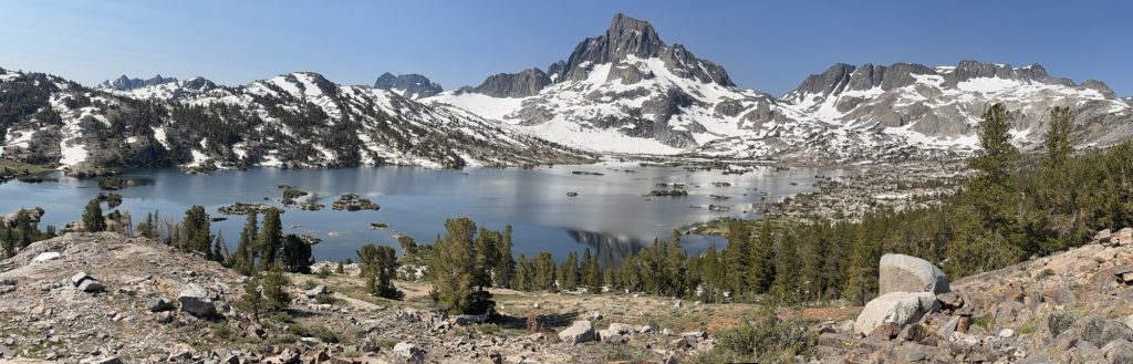
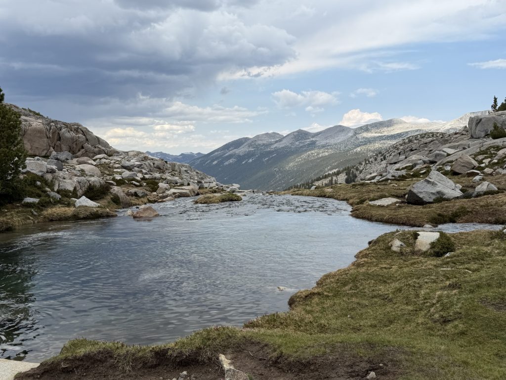
The morning ridge walk finished at Thousand Island Lake. I mean there is no way there is actually a thousand islands in this lake but the name is at least partially fitting. It is a beautiful spot and many hikers do trail Nero’s or even zeros here. I for one think the 30 ish minute break we took was more than enough.
Afterwards there was some pointless ups and downs before we reached Rush Creek, which was rushin’. I got a garmin message from Pinecone who is a day ahead of us warning us that the crossing was pretty sketchy. It’s a bit cooler today than yesterday and the water level was no where near as high for us as it was for them and we crossed without issue.
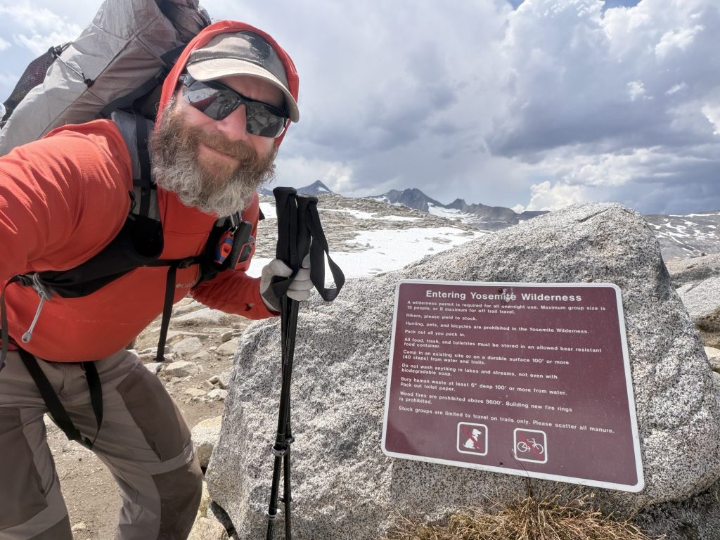
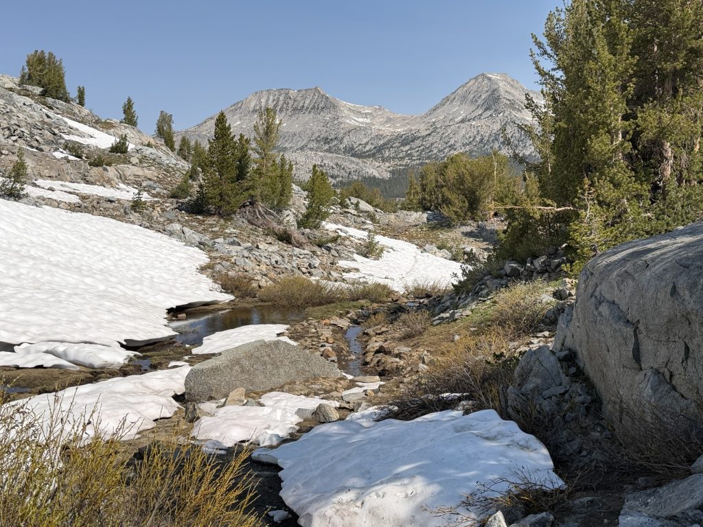
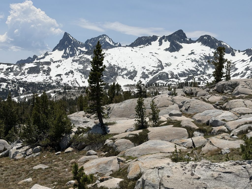
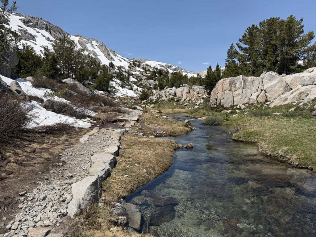
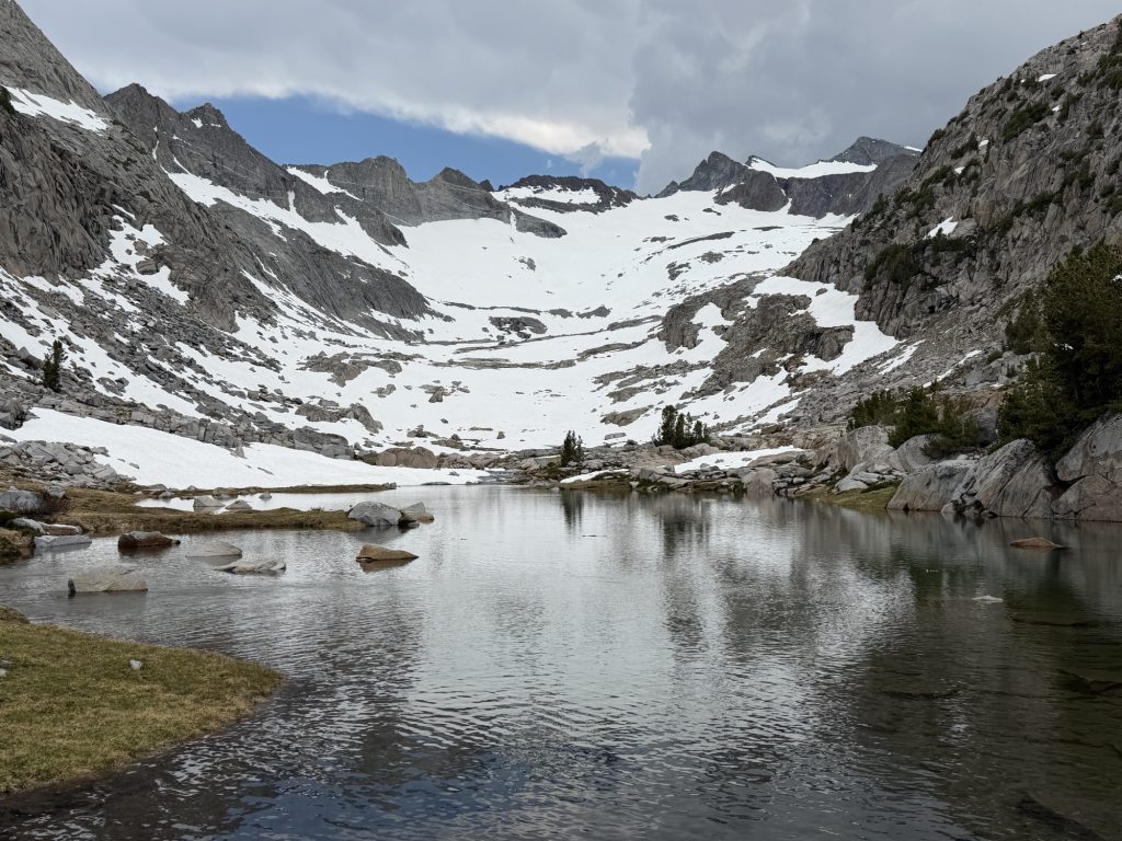
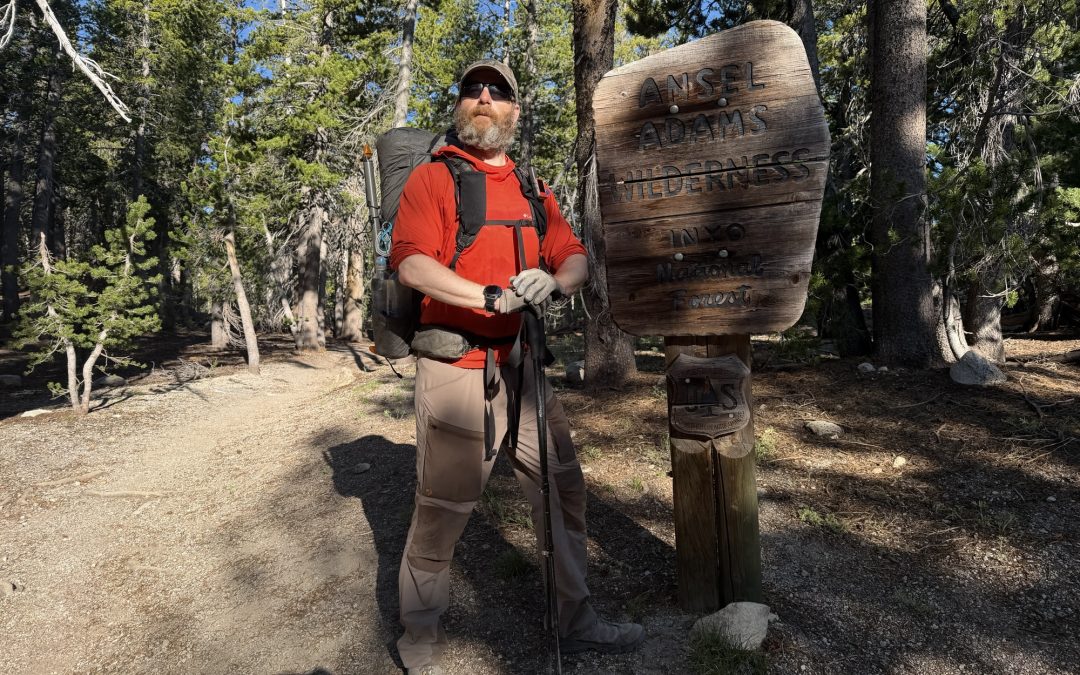
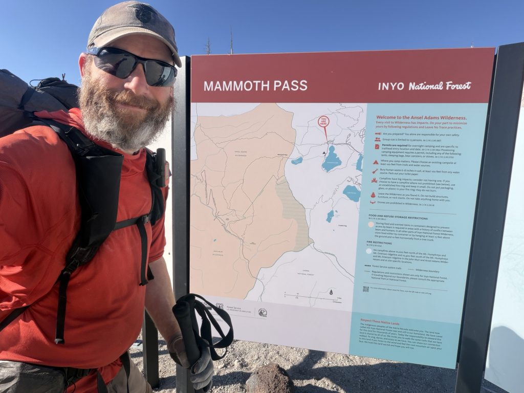
Around 1300hrs we reached the top of Donahue pass (11073 ft). This is the last time I will be over 11000 ft on this hike. It was a relatively easy pass with very little snow on the accent or decent. But the amount of water crossings on both side was a bit much. While we were at the top dark stormy looking clouds were beginning to form. The last place on the PCT you want to be in a storm is on top of a pass so we started decending as quickly as possible Now in Yosemite National Park.
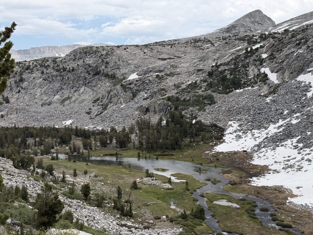
The day started out with nice dirt paths but now it was nothing but rock steps and water. I eventually gave up trying to keep my shoes dry because there was just too much water. The decent down to where we would camp was an ungodly number of stone steps that vibrated through me with every step.
We arrived at camp just as it started raining but fortunately it was never more than a little sprinkle.
PCT Day 72-74 – Double Zero in Mammoth to PCT mile 917.1
June 15-17, 2026
Total PCT miles: 9.3
Non PCT miles: 4.1
Total: 13.4 miles / 21.6 km
Total elevation gain: 2644 ft
Total elevation loss: 2858 ft
Steps: 31448
Double Zero In Mammoth
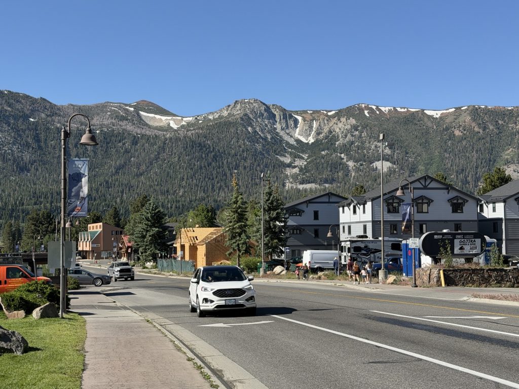
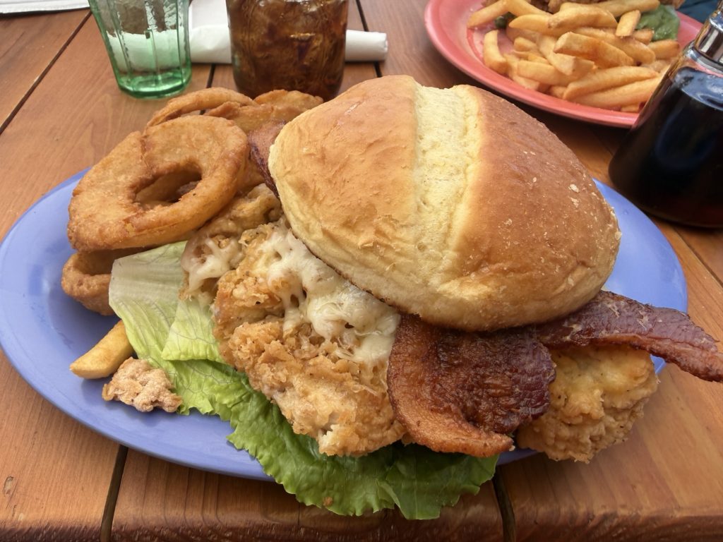
With the exhaustion and lethargy I’ve been feeling over the past section I decided it was best to take a double zero in Mammoth. This would give me a day to get town chores done and another day to actually rest. When you get into town there is so much to do that the “day off” from hiking feels busier than a day on. I guess it’s pretty similar to real life when the weekend flys by and the next thing you know it’s time to go to work and you didn’t even get a chance to recover from the previous week. The extra day in Mammoth also gave me a chance to eat more town food… and let me assure you I ate as much as I possibly could.
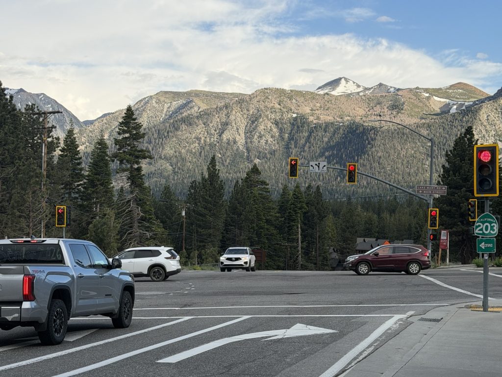
Mammoth is a great hiker town. Even though it’s a bit spread out there are free busses that run every 20 mins during the day that will take you pretty much where ever you want to go. This really helped keep my step count at a more reasonable number over my zero days!
I got my new Durston pack which is the updated 2026 version that has some good improvements over the one I had. Notably it has larger hip pockets so I can cram more snacks into them! Extreamly happy with their customer support For replacing my old bag due to a manufacturers defect even though it was past warranty. I bought new sun gloves as my old ones were full of holes, a new water filter because my old one was slow as molasses and bug spray.
I also took the opportunity to lighten my load a little by mailing home a few things. My ice axe, which I probably never actually needed, my touque that I never used, my extra mittens and my down puffy jacket. I may live to regret sending home my jacket but between my alpha fleece and my rain jacket I think I’ll be fine. I also put a few things into the hiker box that I no longer needed like my extra powerbank (can’t ship it internationally via USPS).
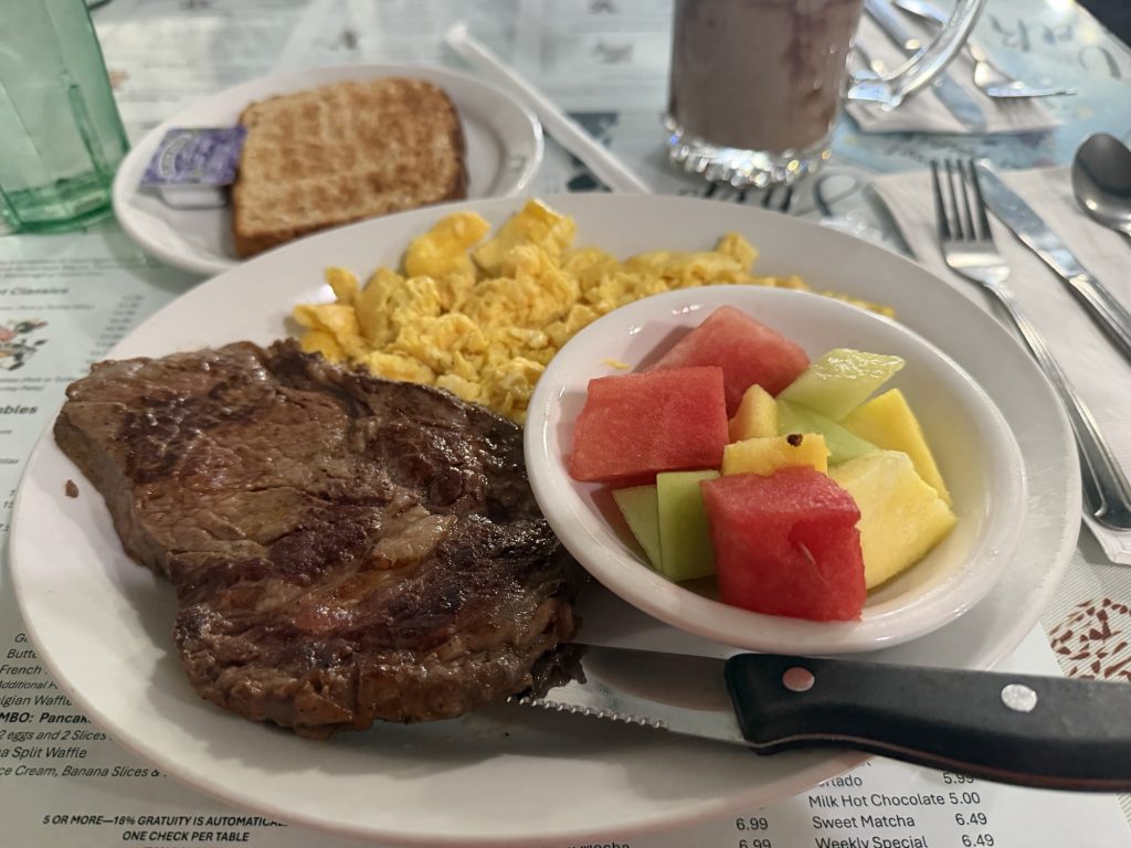
I ate all the food – steak and eggs x 2, burgers, chicken burgers, pizza, a giant sandwich, crepes, ice cream, chips, cookies, more sandwiches Just to name some. It got to the point where I was eating not because I was hungry because I was stuffed. But I knew I needed the calories. Hopefully I managed to gain a few pounds back.
I also did my resupply. I decided to pack out 4 days of food. I’ll have to get more in Yosemite. But somehow my 4 day food carry fills up the same bear can I just did 7 with. But I did purchase a ton of snacks to try and keep myself fueled.
I seem to have lost my ankle brace. It’s entirely possible I inadvertently put it in the box I mailed home. I mean it’s been 700 miles since I sprained my ankle. I probably don’t need to be wearing it. But I’ve ordered another as I was planning on replacing it it anyways. I’ll get it in Tahoe which is 200 miles ish away. Hopefully I won’t have any issues.
I also relaxed, watched TV, met lots of hikers and got as much sleep as possible.
The double zero was definitely the way to go even if it meant other than High Stakes all the other people I have been hiking with have gone ahead.
June 17th – Back on Trail
I woke up early this morning, before my alarm even went off so I could get steak and eggs one more time before hitting the trail and grab some red bull to pack out with me.
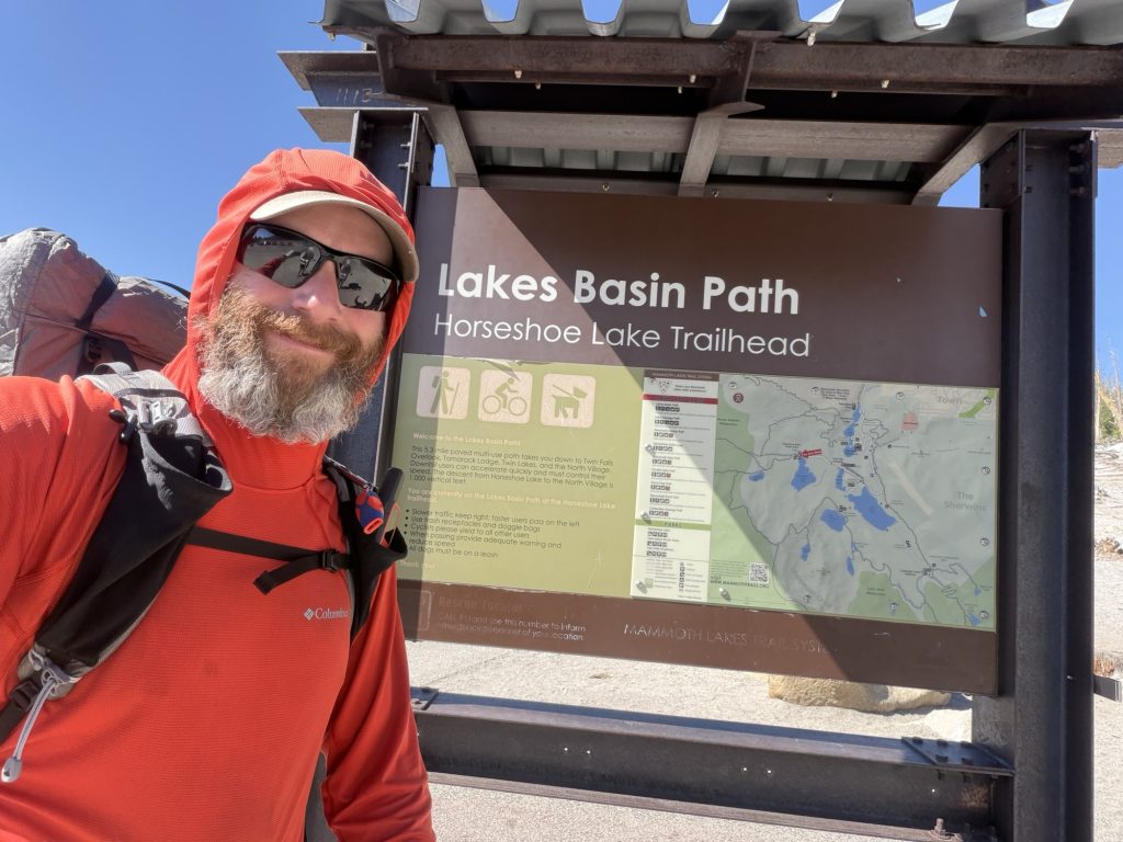
High Stakes and I would have preferred to get on trail earlier but the bus to Horseshoe lake doesn’t start until 09:00hrs and take about 30 minutes to get to the trail head. But the bus is free and we didn’t have to bug a trail angel of hitch so I can’t complain much.
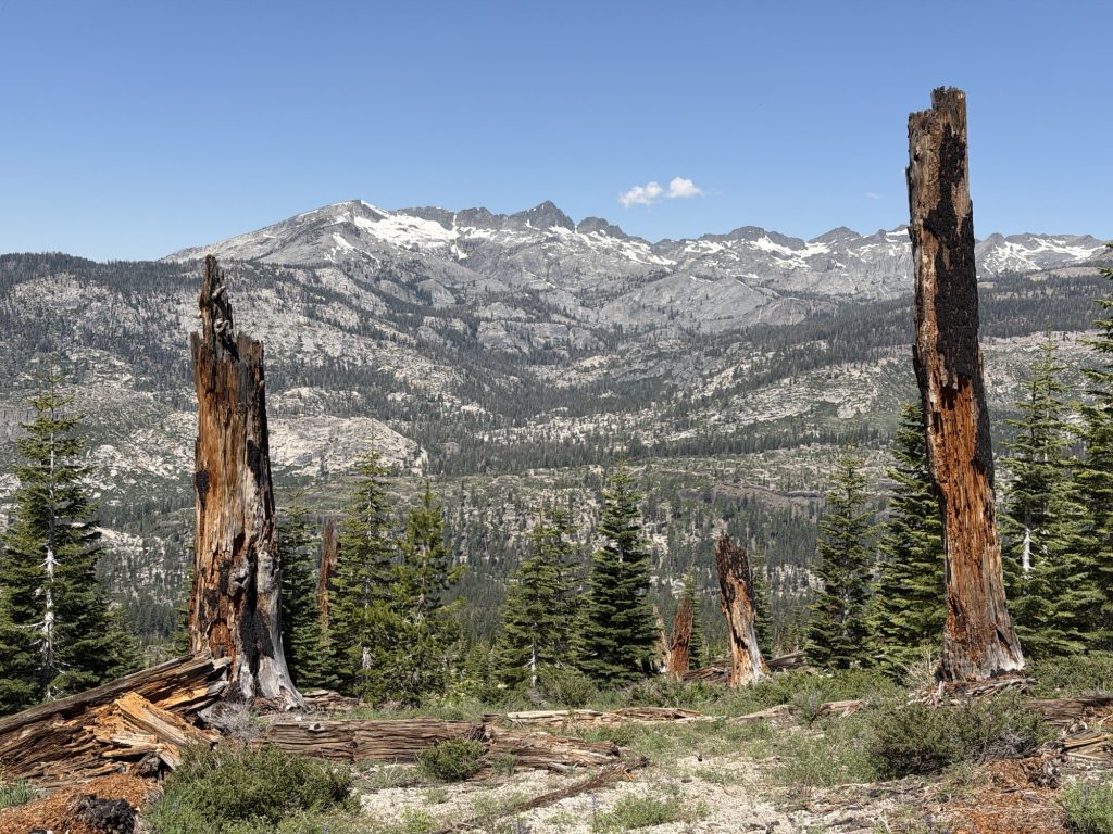
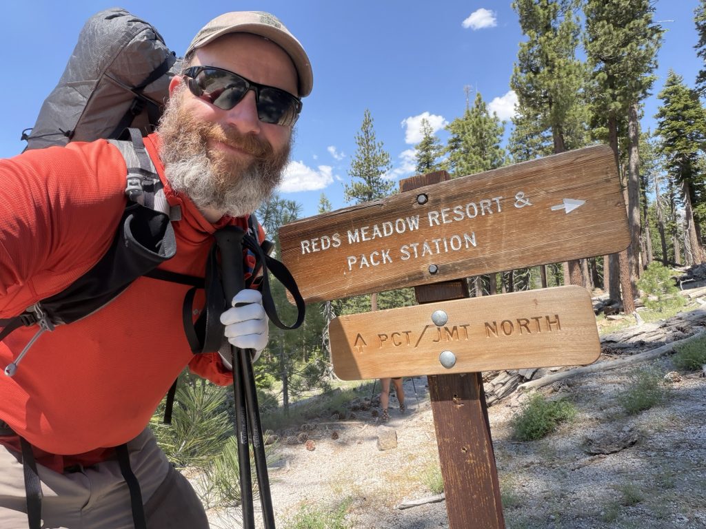
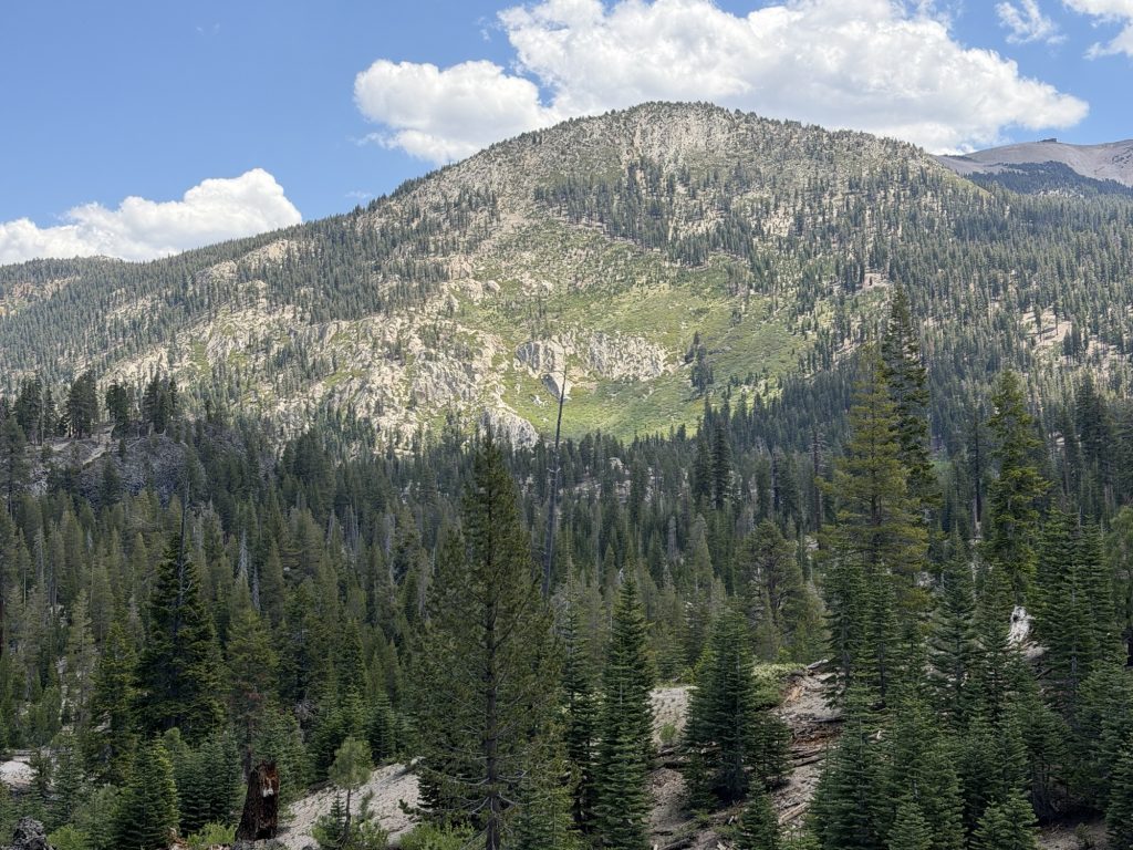
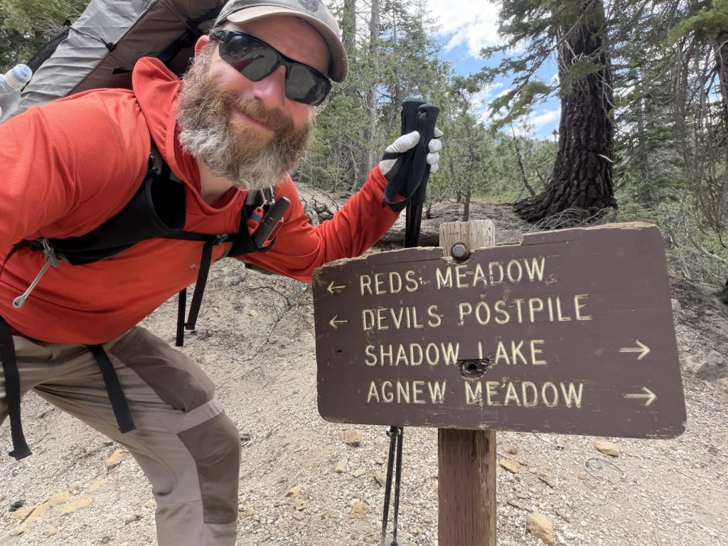
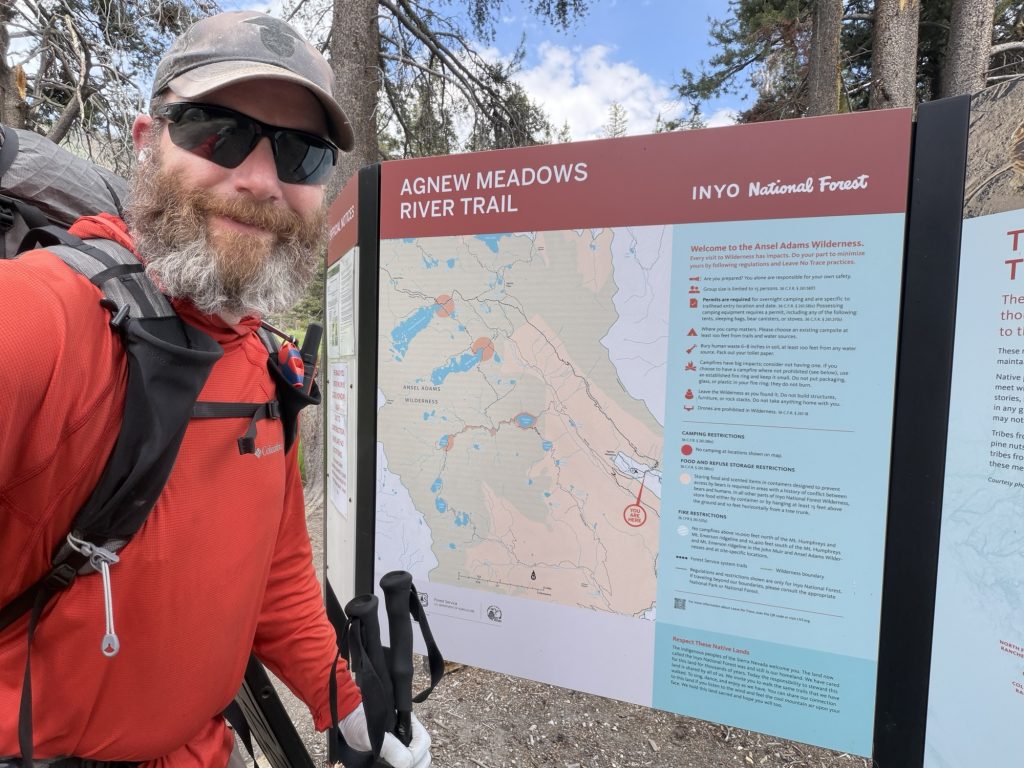
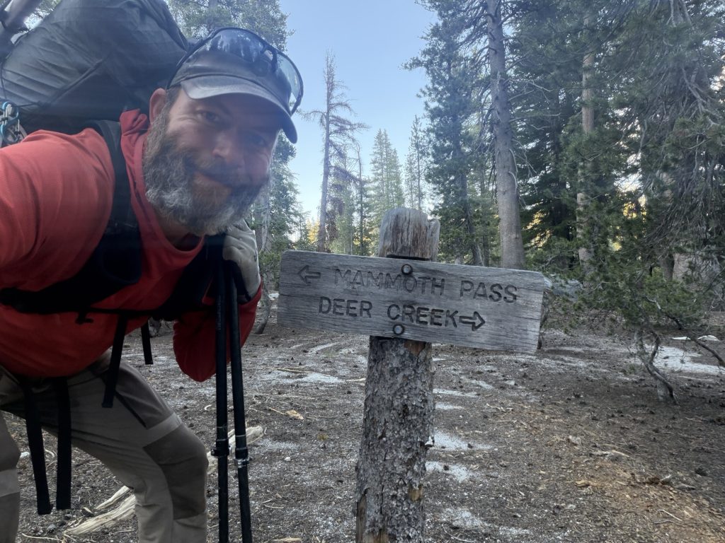
We were on the trail head shortly after 0930 am it was already hot. Today’s high is 24 Celsius but it felt much warmer for most of the day. We decided to take the Mammoth Pass trail instead of the trail we hiked into town in. As a result we skipped 4 ish miles of the PCT. This trail brings us though a small burn area from a fire that was over a decade ago and provided good views of the valley and surrounding mountains. At Red Meadows we finally joined back with the PCT. This is normally a pretty popular stop on the PCT but it has not opened yet for the season because of damage to the road. Just last weekend they opened the road for weekends only.
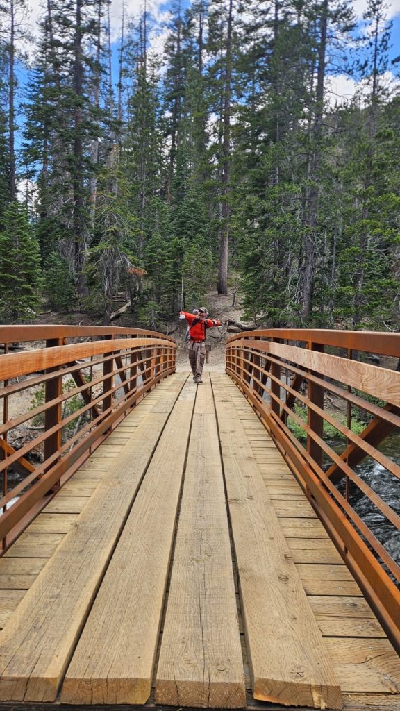
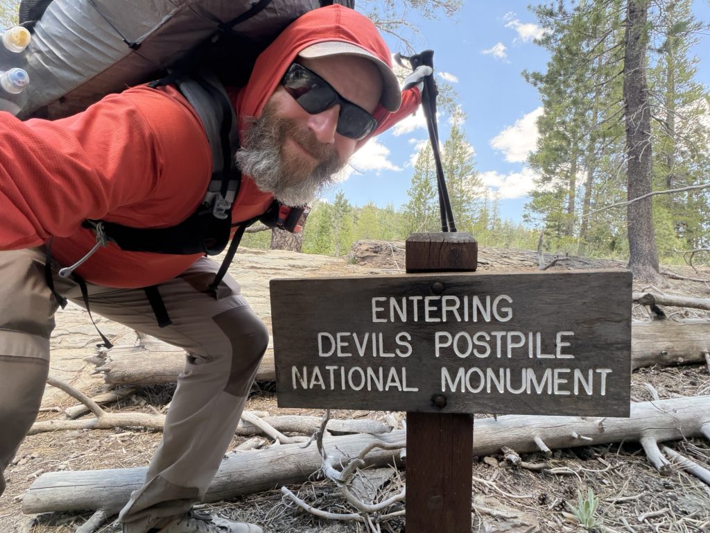
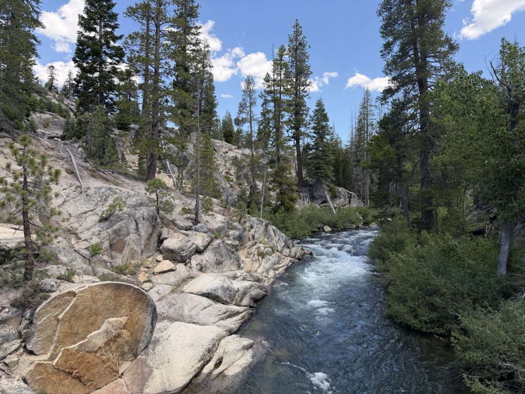
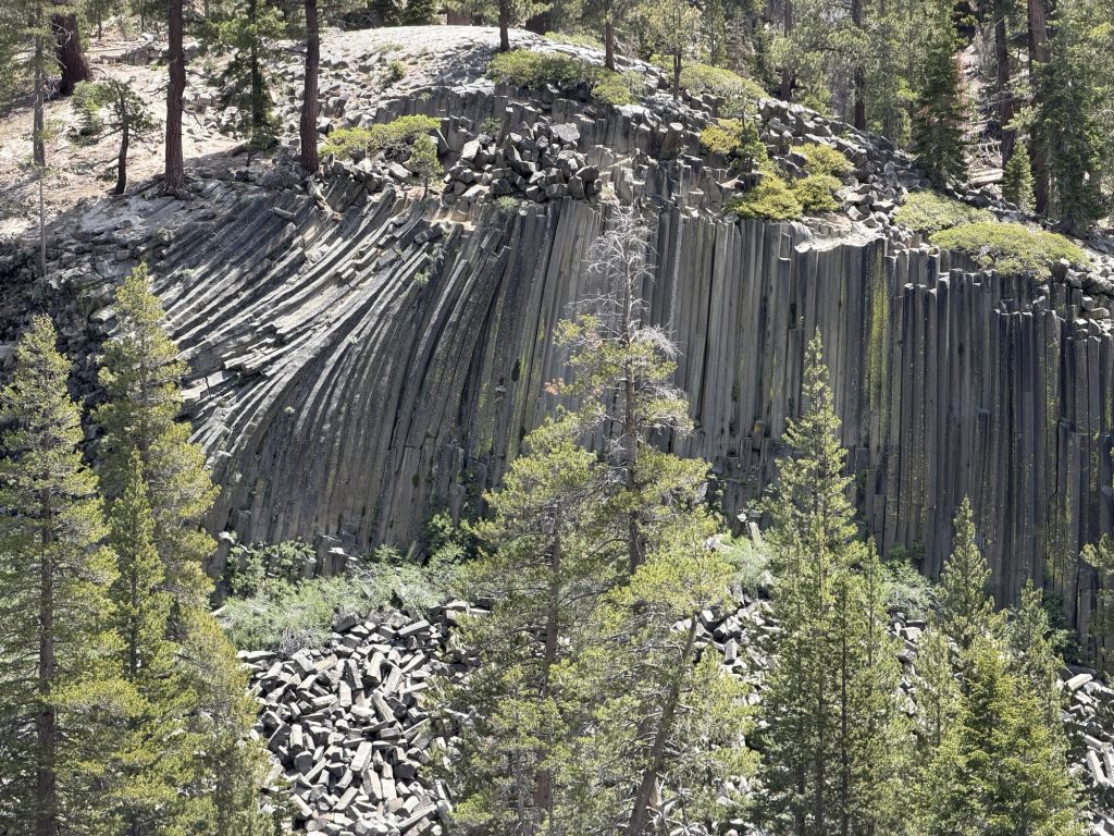
From here we continued down and then followed the Middle Fork of the San Joaquin River. Fortunately all the crossings on this river have bridges because it would be very unsafe to cross otherwise. We then entered Devil Postpile National Monument which features basalt columns similar to those found in other places in the world. There is a side trail that will take you close by but we decided to just enjoy the view from the trail and continue on.
Today I’ve seen more PCT hikers on trail than any other day. It seems the bubble is catching up to us. We stopped for lunch at a creek and by the time we left there were 6 other hikers there. I counted another 5 or 6 throughout the day and I’m camped now with 5 other PCT hikers and 1 JMT hiker.
We had hoped to do a few more miles today than we did. But the first day out of town is always the hardest with the heavy packs and typically late start. So we found a great spot and set up. I even have cell reception here which is wild!
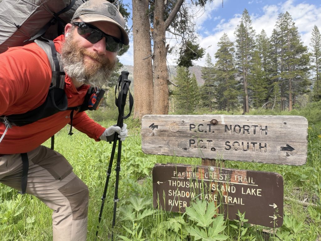
We plan on an early start and hopefully 17 miles tomorrow to get us over Donahuge pass to the last legal campsite before we entire Yosemite!
PCT Day 71 – PCT mile 902.3 to Mammoth via Horseshoe Lake Trail
June 14, 2026
Total PCT miles: 2.1
Non PCT miles: 3.2
Total: 5.3 miles / 8.5 km
Total elevation gain: 948 ft
Total elevation loss: 1089 ft
Steps: 14864
A proper Nero into Mammoth! Yesterday we got as close to the exit to Mammoth as our weary bodies could carry us. Today we get to reap the benefits of yesterdays suffering!
We were up and on trail at 0600. Not because we actually needed to be on trail that early but because we would both be awake anyways so we might as well make the best of it and hike in the cooler air. It was only 2.1 miles to the Horseshoe Lake Trail and it was all mostly downhill and easy hiking.
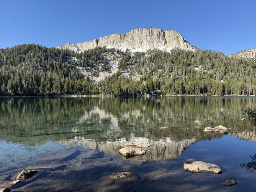
The Horseshoe Lake trial had some elevation gain but nothing terribly significant. We passed by two lakes along the way and were at the trailhead at 0800. From here we would wait for the bus to take us into town. Unfortunately the first bus of the day doesn’t come until 0930ish but it like almost all the busses in Mammoth are free! But no hitch hiking or needing to reach out to Trail Angles to bring us into town was required!
While we were waiting several other hikers showed up and we began trading stories about the last section. I was relived that everyone pretty much felt that the last section was as brutal as I felt it was. It was nice not to be alone in thinking it was exhausting and challenging.
The group of us all went to The Stove for breakfast / Lunch / what ever we could shove into our mouths before going on our ways.
High Stakes and I checked into the Motel 6 and Yukon Later joined us. Later in the evening Alligator, Sage and Pinecone arrived in town and we met up at the brewery. It seems like many of the people I’ve been hiking with are separating here. Chops, Yukon And ReRoll are heading out tomorrow with an ambitious timeline to South Lake Tahoe. Alligator is going to start pushing the miles harder. Sage and Pinecone will leave the day before us and High Stakes and I will enjoy a double zero. I’m sure I’ll see some of them again and meet new people as I continue along the trail but it doesn’t make it easy to potentially say goodbye to these people who have been suffering along side each other for the past few weeks.