PCT Day 26 – PCT mile 358.6 to Wrightwood.
April 30, 2025
Total PCT miles: 10.8
Non PCT miles: 0
Total: 10.8 miles / 17.38 km
Total elevation gain: 2687 ft
Total elevation loss: 2251 ft
Steps: 30241
I had a surprisingly not great sleep considering how absolutely exhausted I was last night. Maybe it’s because it was the first night since I injured my ankle that I haven’t taken ibuprofen before going to bed. I also made the decision to not take any before hitting the trail today so I could better determine how my ankle is doing. I’m happy to report I have no concerning pain. Lots of other types of pain but nothing that screams injury.
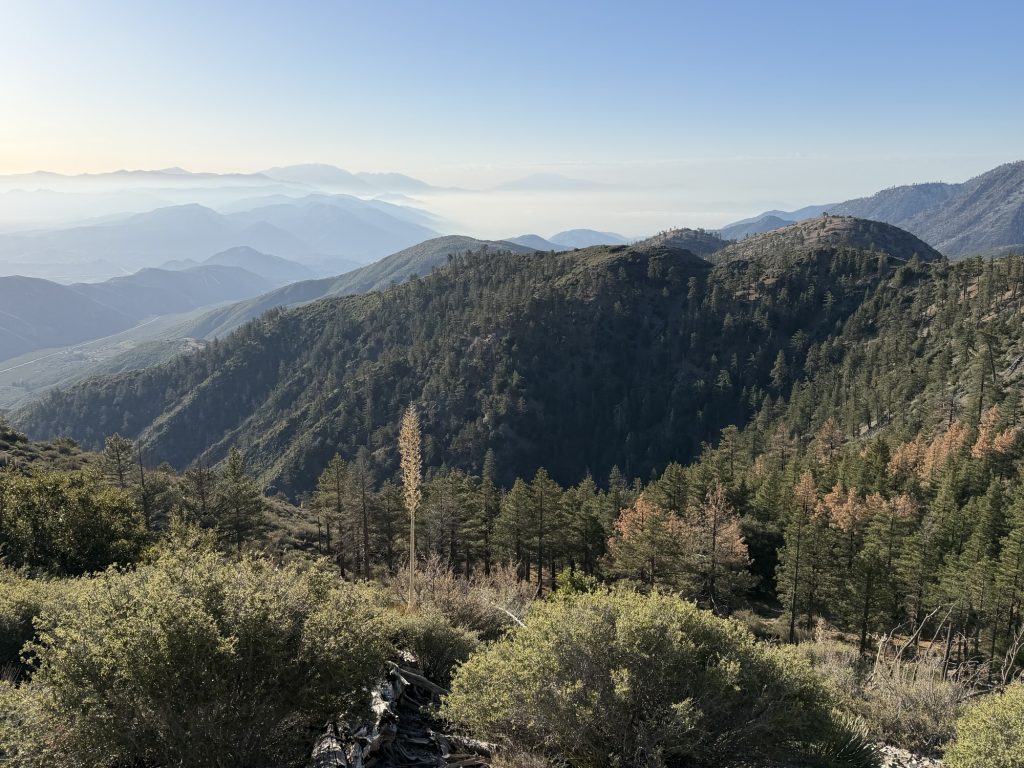
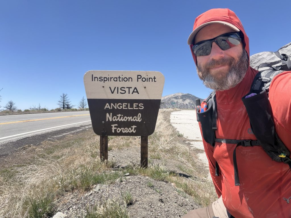
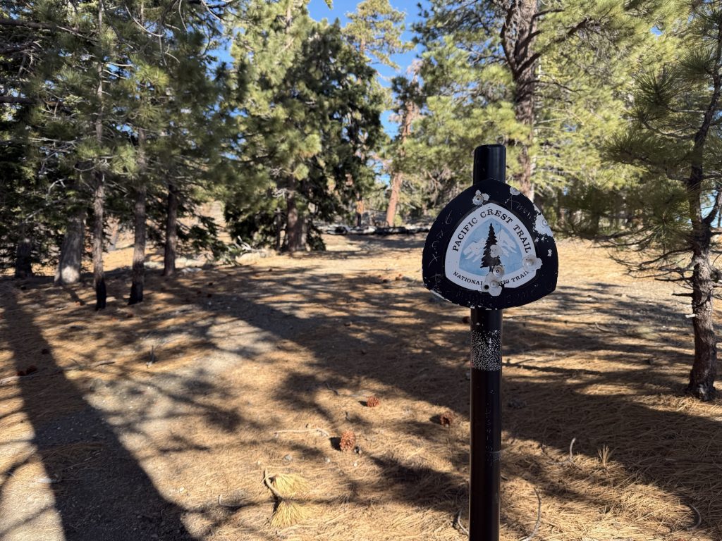
Today was a relatively quick and short hiking day with hope of getting into Wrightwood before 1300 hrs so I could make the best out of my time in town. The trail continued the ascent from yesterday peaking at about 8400 ft but fortunately it was morning and much cooler than yesterday.
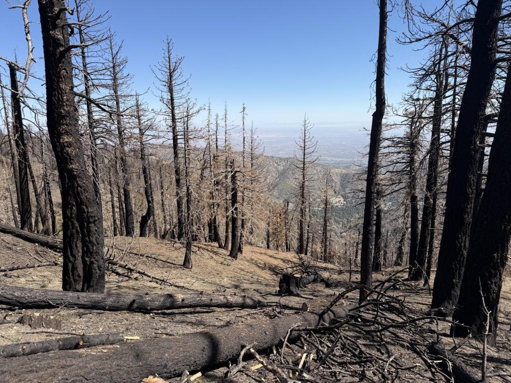
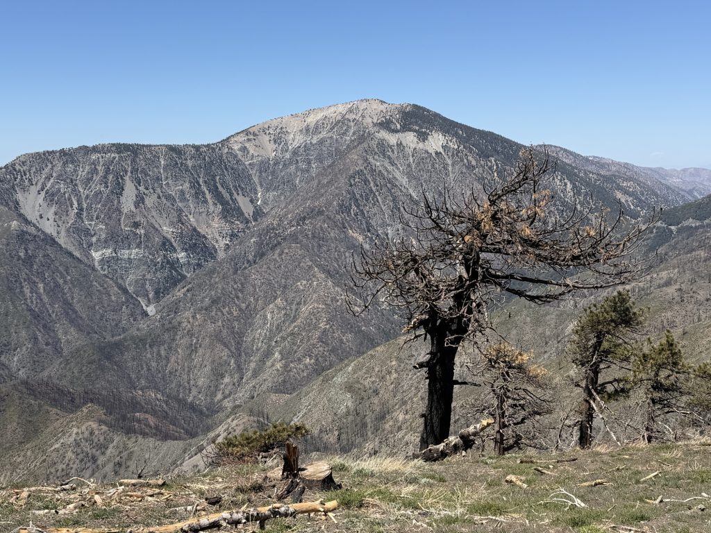
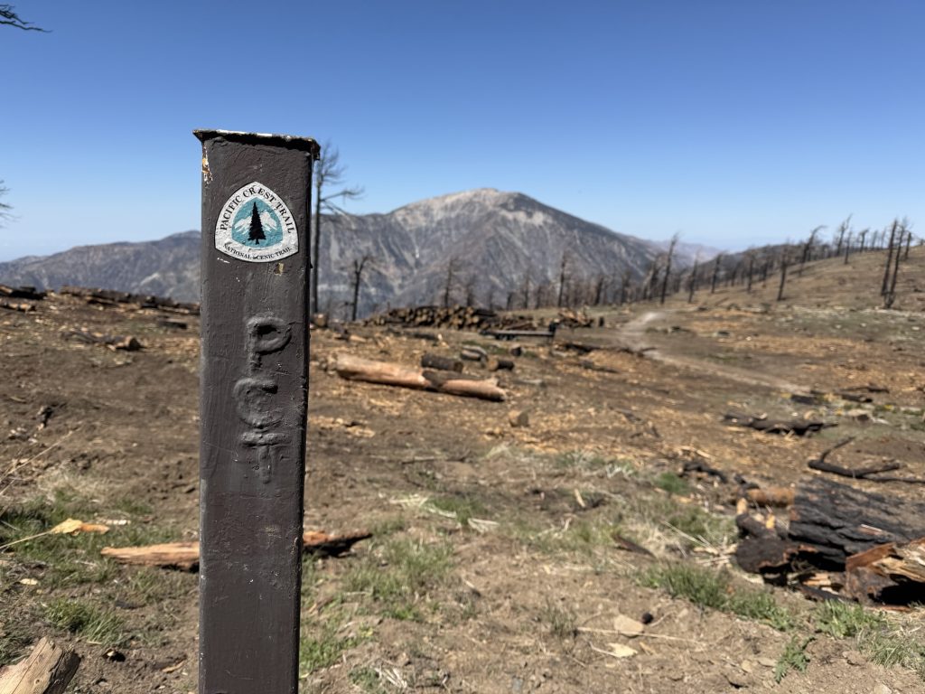
The trail passed along an area that was burned 2 years ago. Alot of work has been done to reopen it to hikers. That along with some significant flooding that hit on Christmas 2025 that causes washouts did some significant damage. This includes damage to Hwy 2 the major road that services Wrightwood.
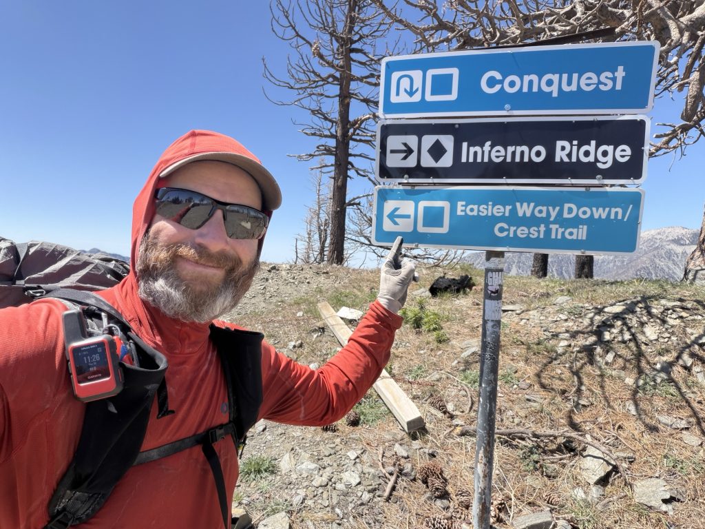
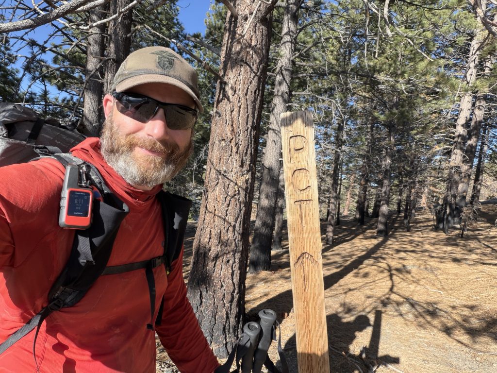
I received my trail name today as I was walking along a forest service road that is now the PCT. The sun was to my back casting a long shadow in front of me. I was carrying my trekking poles when I saw what appeared to me to be a rattle snake just in front of me to my right. I simultaneously jumped and yelped! Mid air I realized it was just my shadow and as soon as I hit the ground said “oh that was just my shadow” and continued walking along like nothing had happened. A few moments later Ness and I were almost in tears laughing. Hence forth on the PCT I will be known as Shadow because I’m afraid of my own shadow.
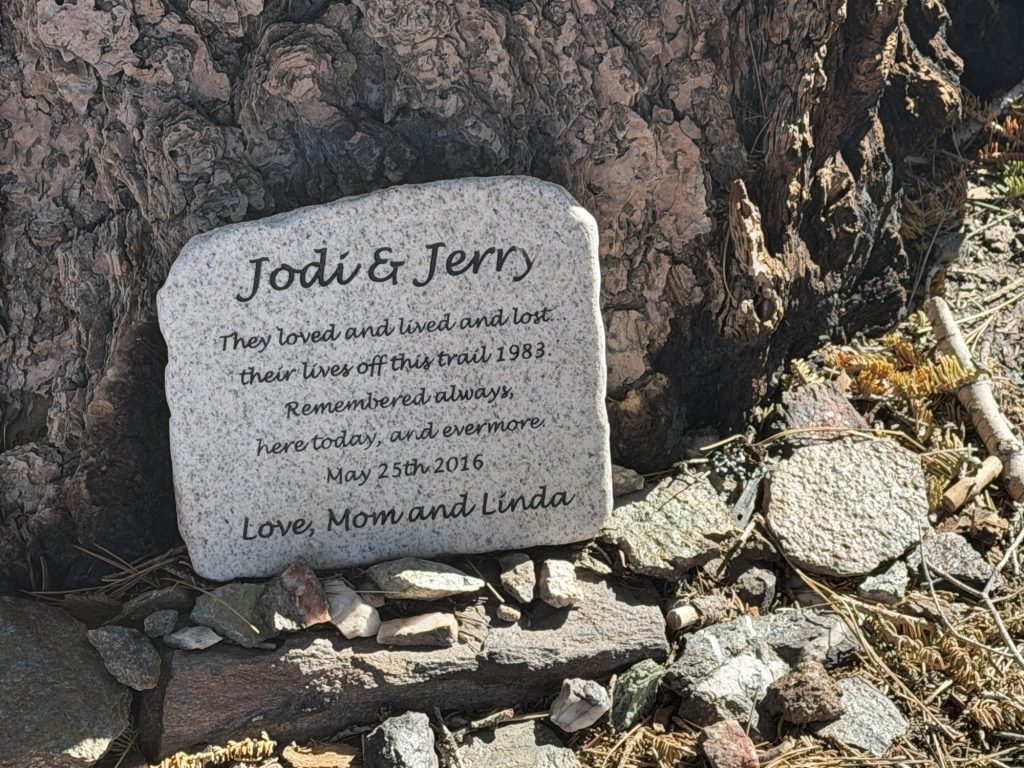
I passed a small monument to two hikers that died on the PCT in 1983.
Attempting a winter thru-hike Jodi and Gerald fell off a cliff face near Wrightwood after losing the trail and slipping on the icy slope. The website halfway to anywhere lists 16 confirmed thru-hiker deaths on the PCT.
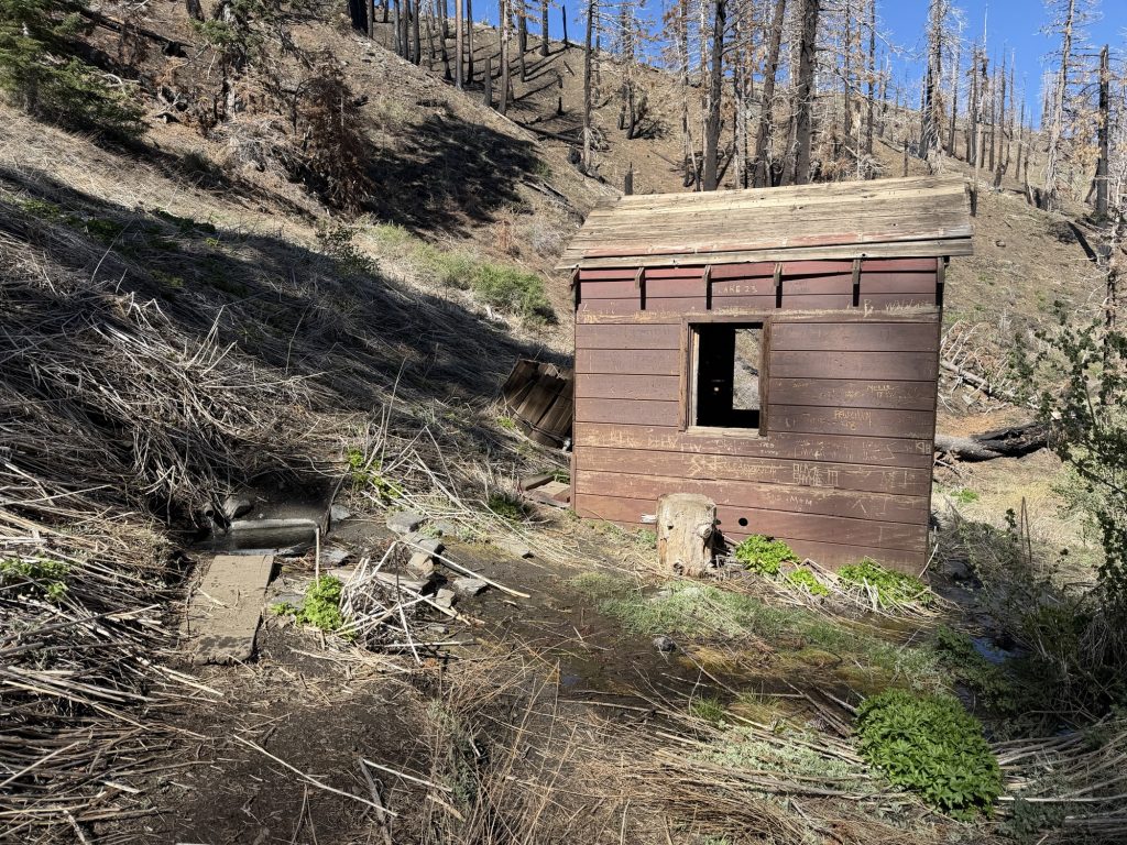
A few miles later into the day Ness and I reached the first water source since McDonalds (if you don’t include the cache). It was 100 meters steep downhill at a pipe near what looks like a murder shead. Sage and another hiker met up with us there and we continued the last stretch into town.
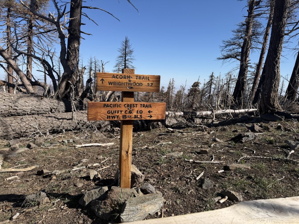
The trail continues up and around Big Pines Ski Resort where there is a lot of logging work being done to remove dead trees. However the trail here is non existent for a while and finding the way is a bit tricky.
We reached Hwy 2 (an open portion) shortly before 12 and started the process of trying to hitch to town. However because of the closure there wasn’t much traffic other than construction vehicles. Fortunately the second car stopped and picked us up and drove us to our accommodations. Thank you Ashley for picking up 3 dirty hikers in your Lexus!
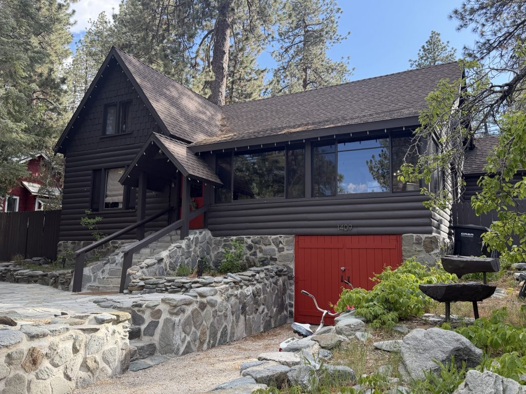
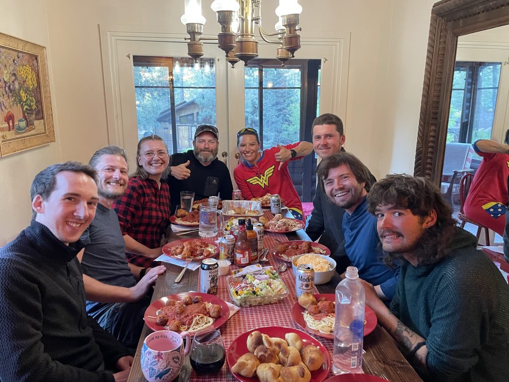
Our accommodations for the next two nights is amazing. It’s a cute mountain cottage near all the places a hiker wants to be. Tonight we feasted on spaghetti meatballs prepared by Ness’s Aunt and Sierra!
It was an incredible treat and delicious meal! It was fun and certainly a highlight of the trail so far to be seated around a table with new friends sharing this delicious meal.
0 Comments