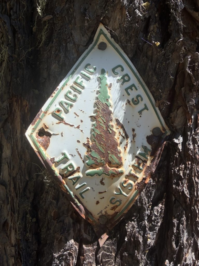
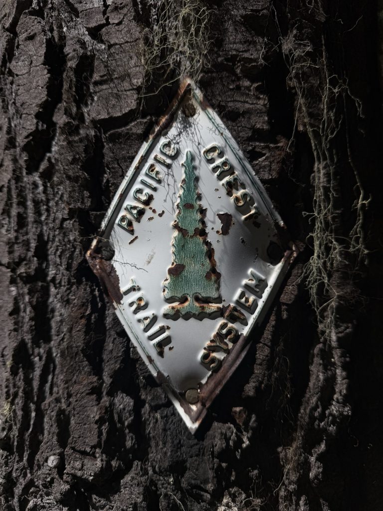
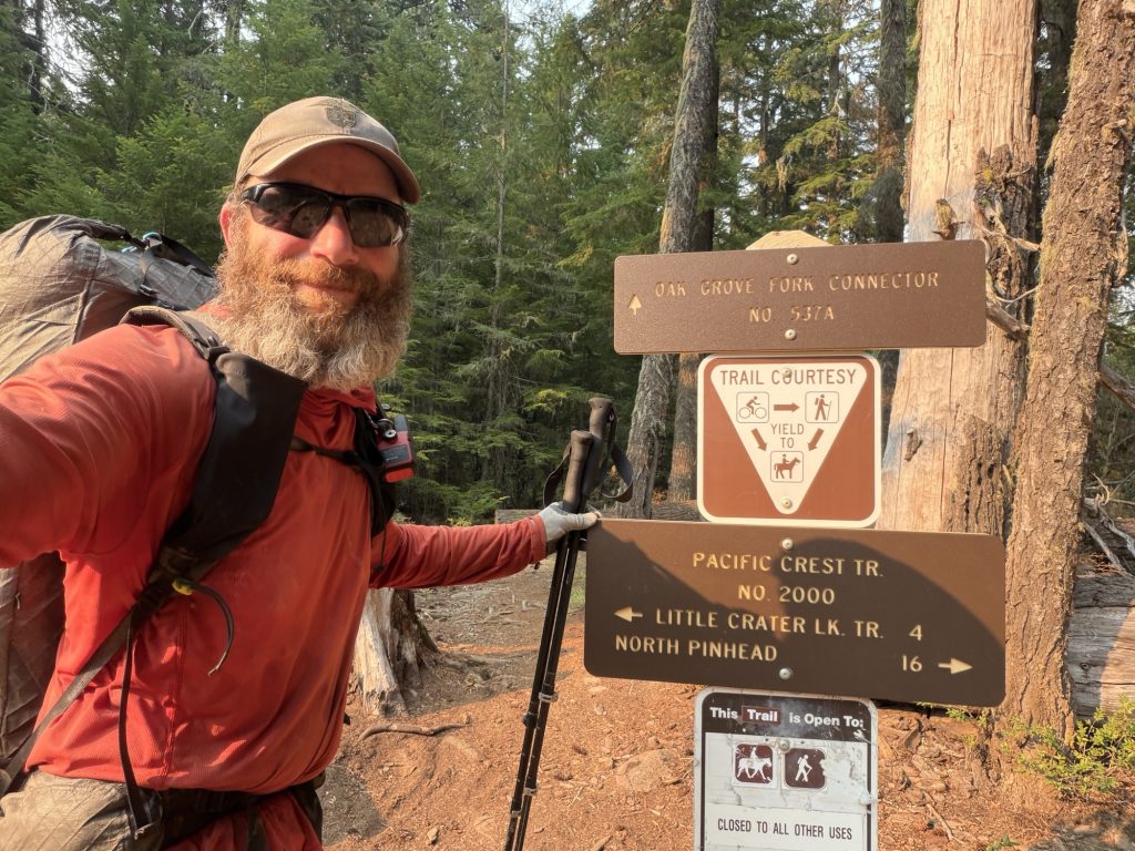
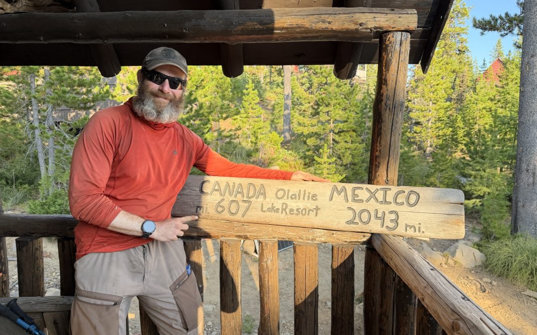
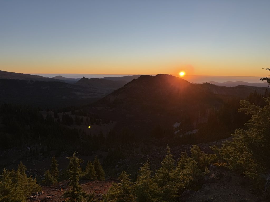
PCT Day 120 – Olallie Lake (2048.7) to Timothy Lake (2079.6)
August 3, 2026
Total PCT miles: 31.1
Non PCT miles: 0.0
Total: 31.1 miles / 50.1 km
Total elevation gain: 3360 ft
Total elevation loss: 5072 ft
Steps: 68417
Remaining Distance: 578.2 miles
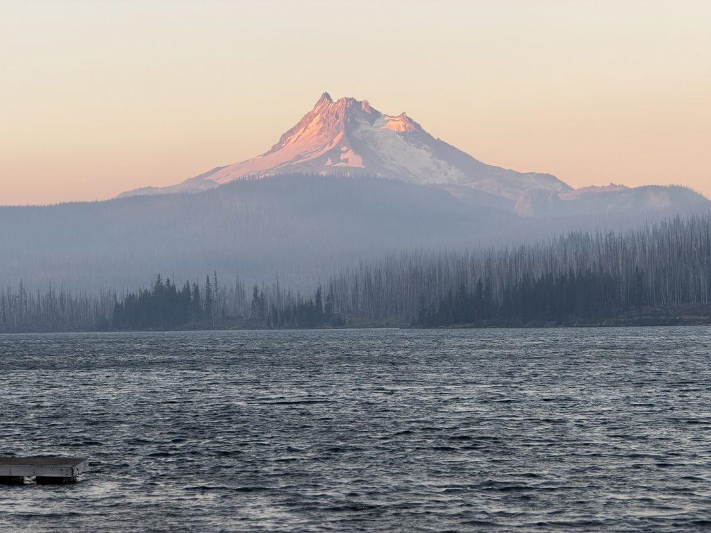
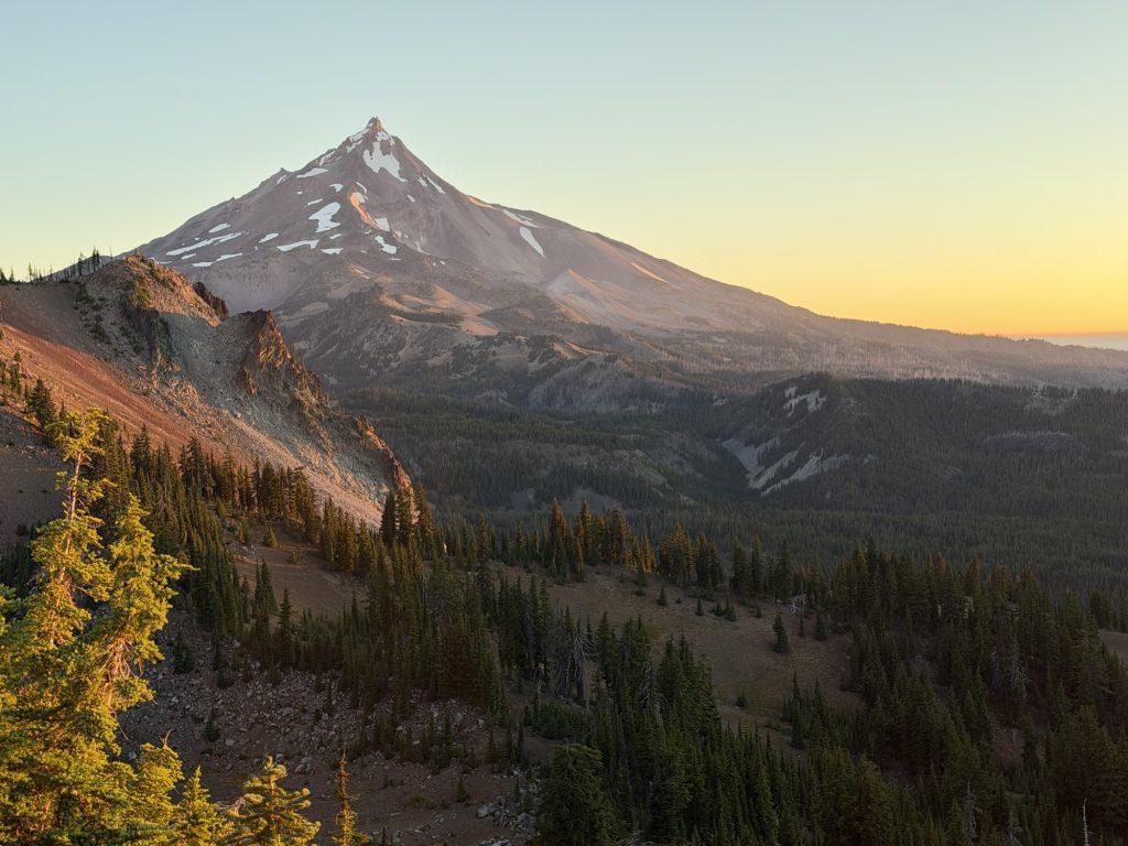
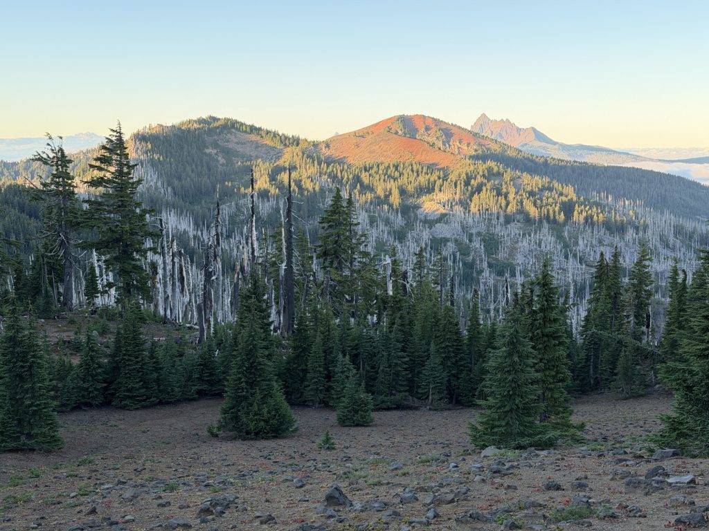
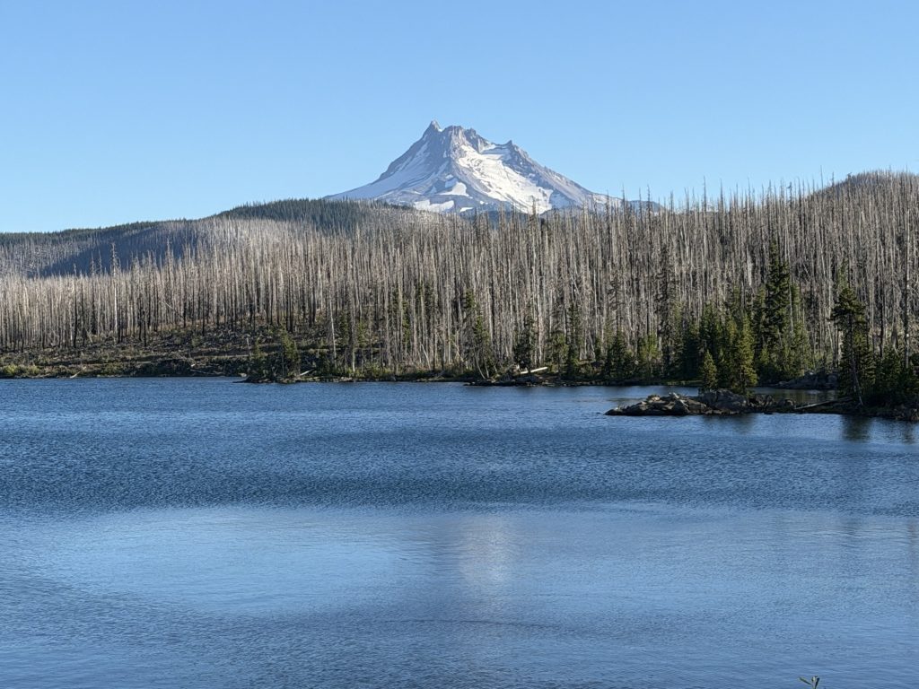
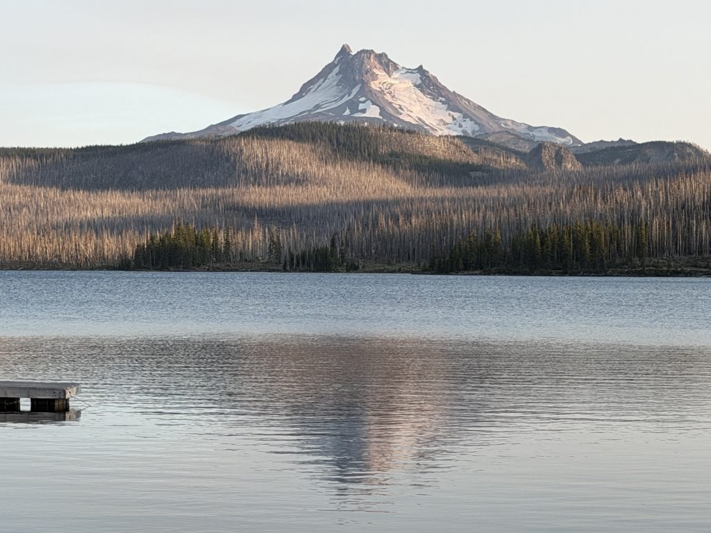
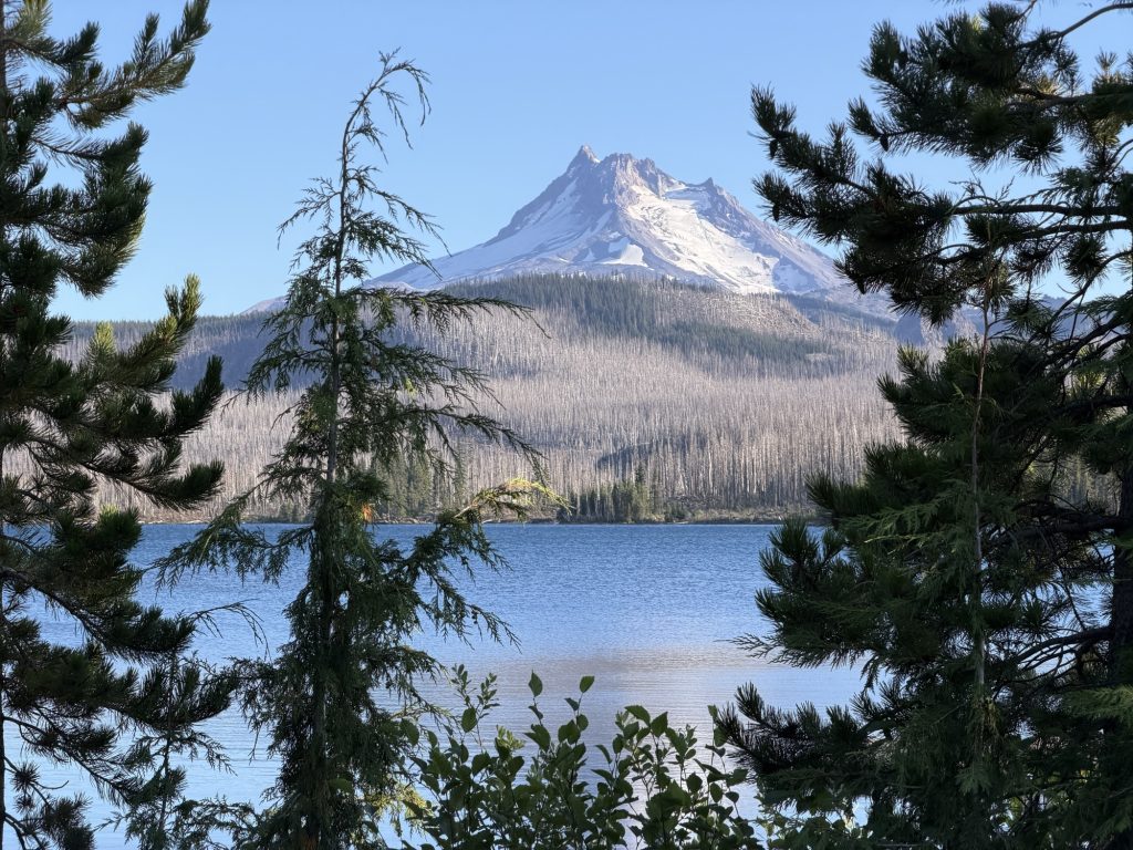
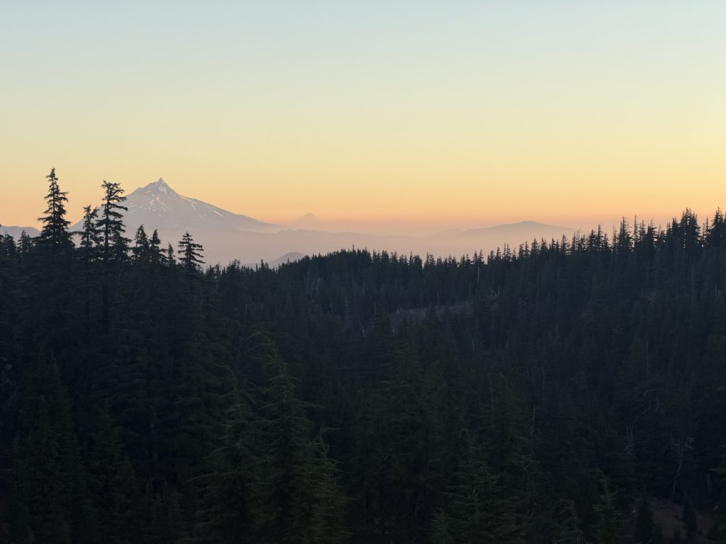
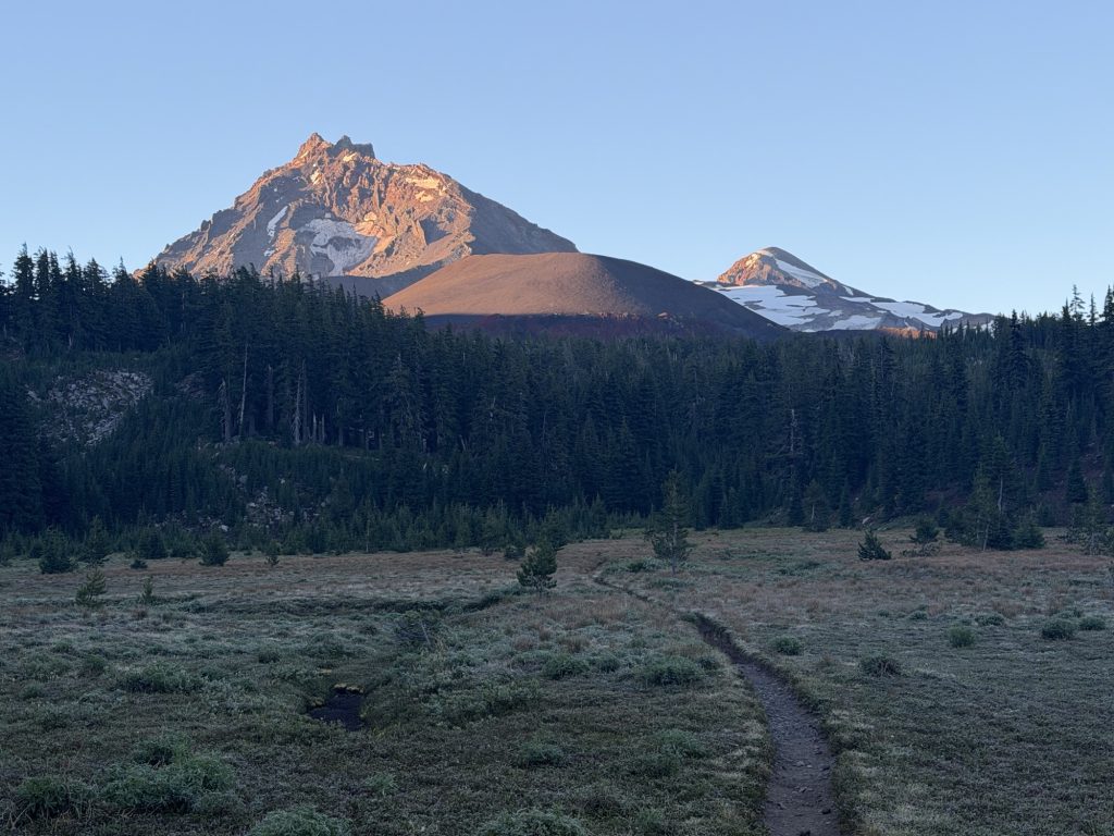
The wind must have shifted overnight because I woke to the faint smell of smoke drifting through camp from the nearby wildfires. It was another cold morning, just 4°C, and getting out of my sleeping bag was a slow and painful process. The one reward for finally crawling out of the tent was looking east to see Mount Jefferson glowing in the first light of the day. The morning sun lit the mountain with that same soft alpenglow I remember from the Sierra, which somehow already feels like a lifetime ago.
Eventually I managed to pack everything up and was hiking by 6:30. It was cool enough that I started the day wearing both my fleece and rain jacket. I should have known better. Less than a mile later I was already stopping to strip them both off. No matter how cold the mornings are, hiking uphill with a full pack warms you up in a hurry.
Today’s goal was ambitious: 35-plus miles. The weather was perfect and the trail profile was about as friendly as I could ask for. Unfortunately, my body had other ideas.
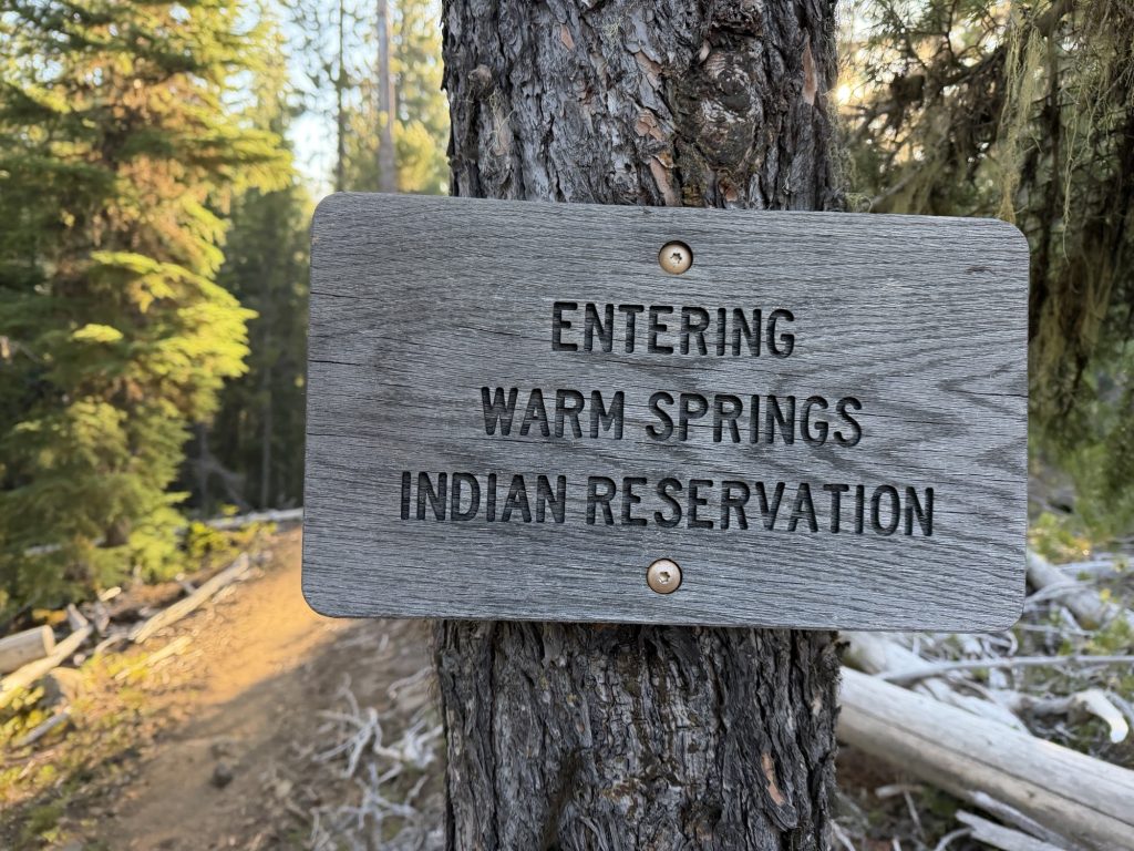
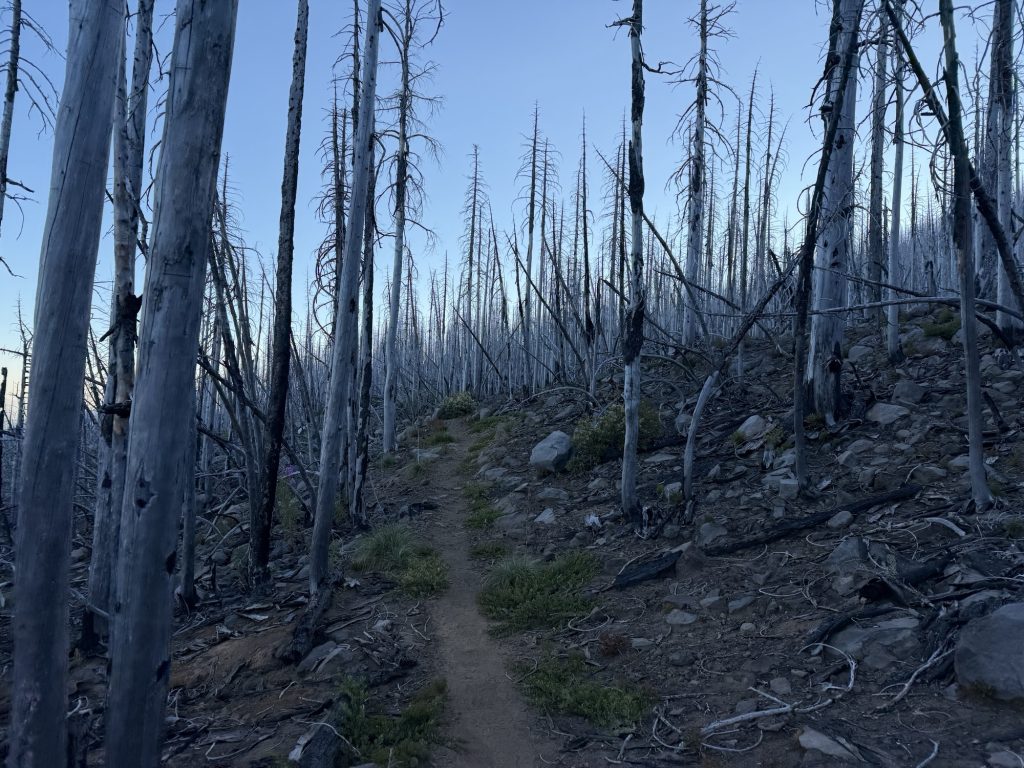
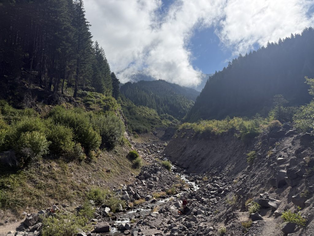
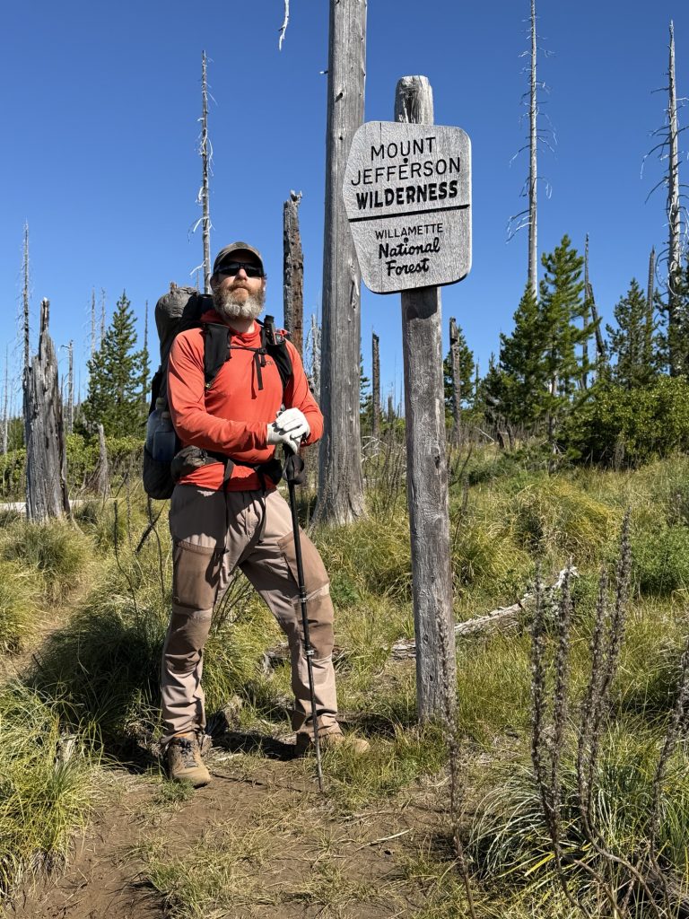
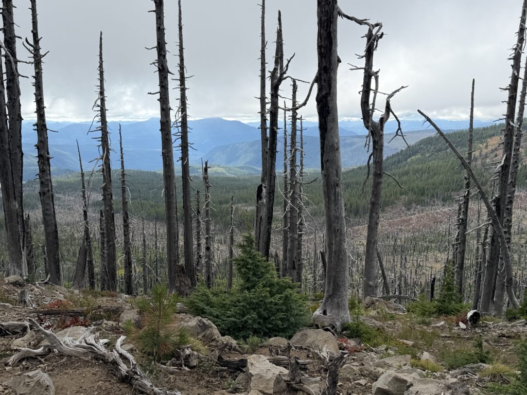
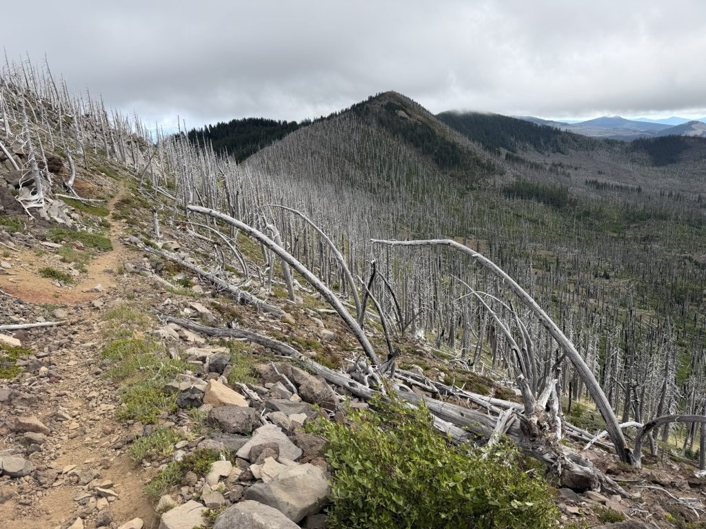
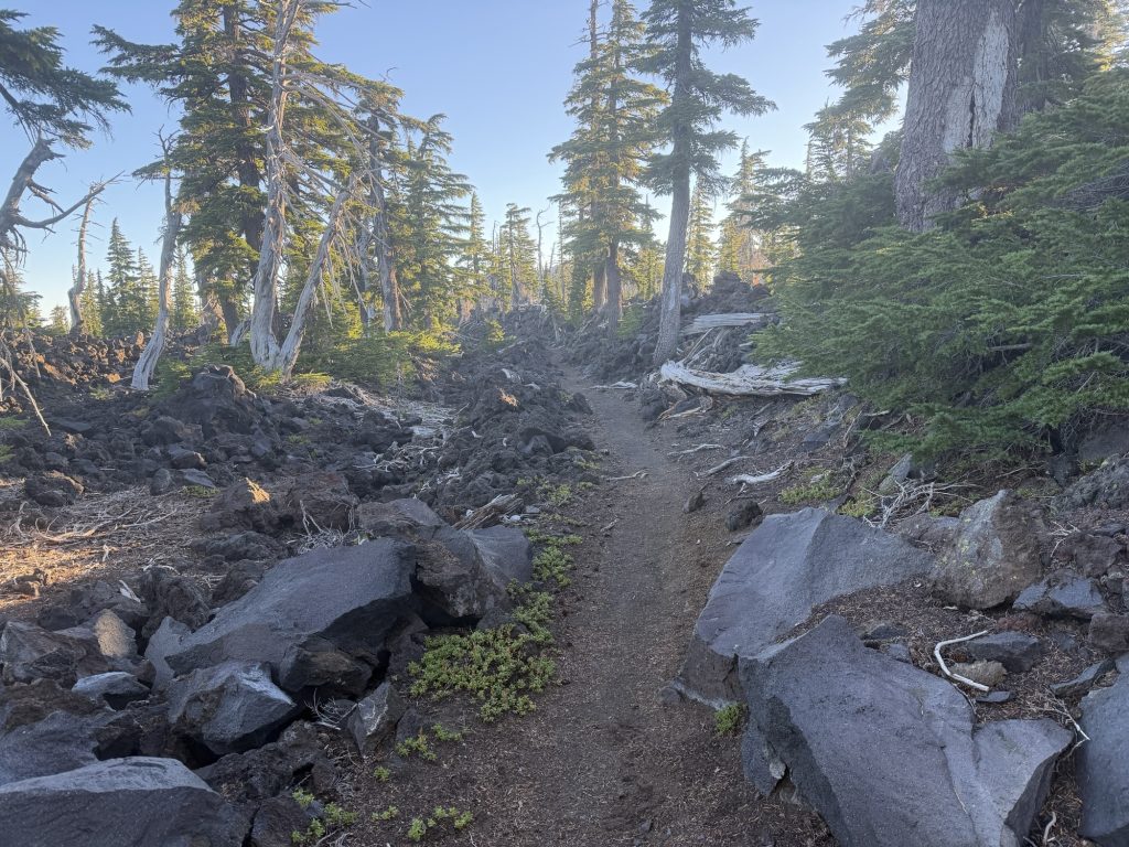
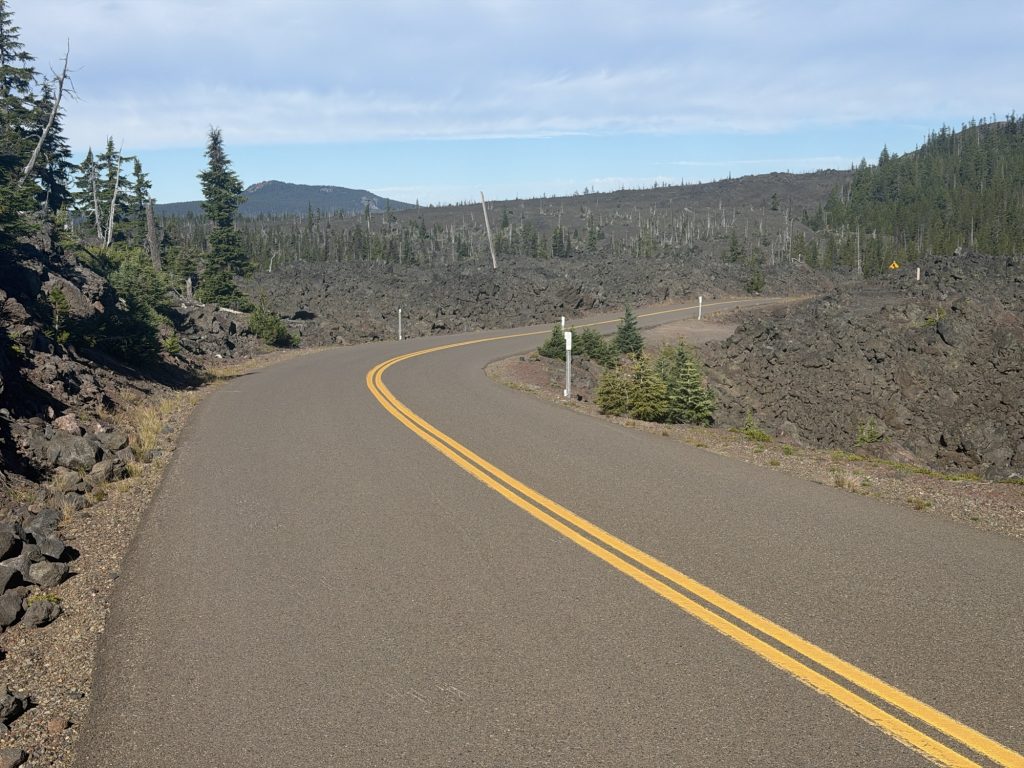
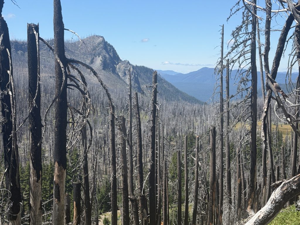
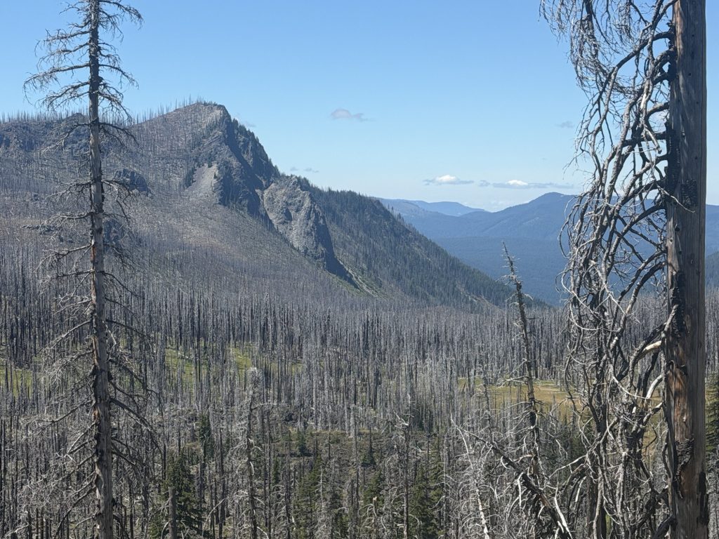
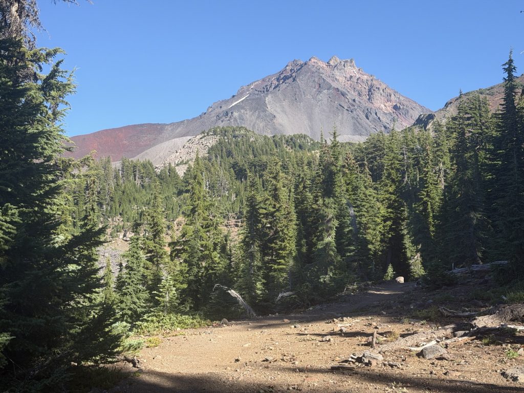
The first couple of miles finished yesterday’s burn scar before the trail entered the Warm Springs Indian Reservation. Almost immediately the trail transformed into one of the smoothest stretches I’ve hiked in a long time. It was beautifully maintained, nearly free of rocks and roots, and the miles seemed to disappear beneath my feet.
I crossed paths with “Bump,” whom I’d briefly met back in the Sierra after he sold High Stakes a set of tent stakes as she had left hers in town. I ended up leapfrogging him and his tramily for most of the day. By noon we’d already covered 19 miles, so we stopped together for lunch. Naturally the conversation turned to the recent closure of the northern terminus because of the Ptarmigan Fire. Everyone seems to be weighing different options for how they’ll finish their thru-hike if the closure remains in place. It’s strange to be less than 700 miles from Canada and not actually know what the finish line is going to look like.
After lunch everything changed.
Somewhere after the 20-mile mark I completely bonked. Looking back, I simply didn’t do a good enough job eating and drinking throughout the day. That’s on me. My energy disappeared, my ankles started complaining with every step, and suddenly those smooth miles I’d been cruising through all morning became a grind. I kept pushing toward my mileage goal, but each mile required a little more determination than the last.
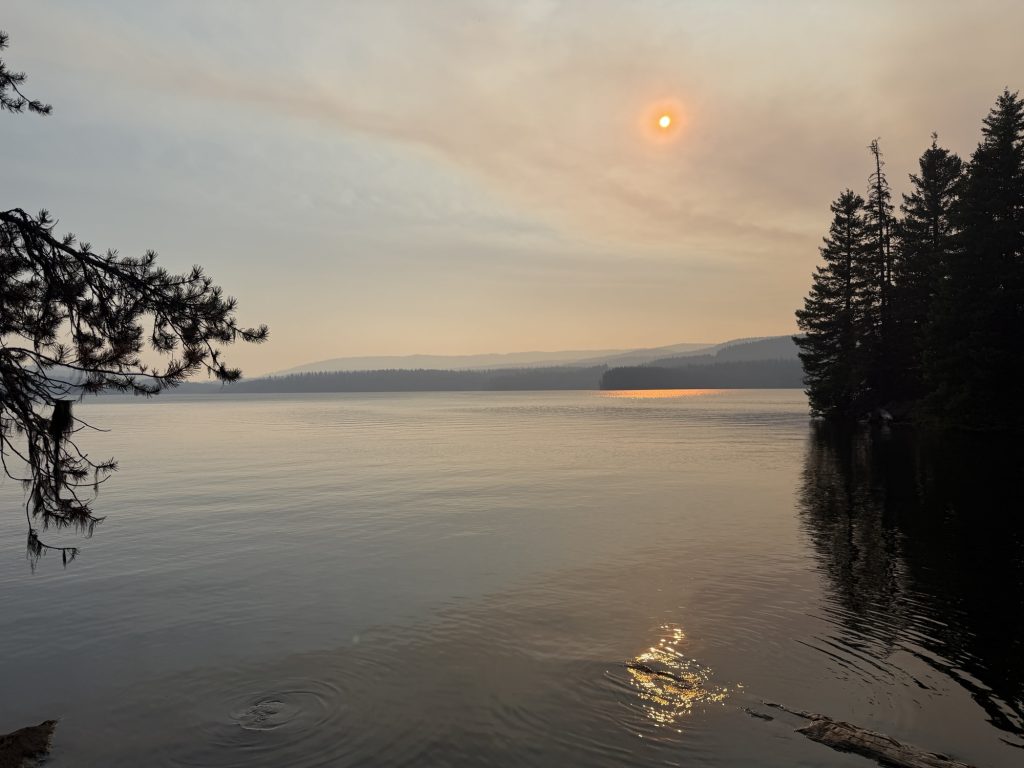
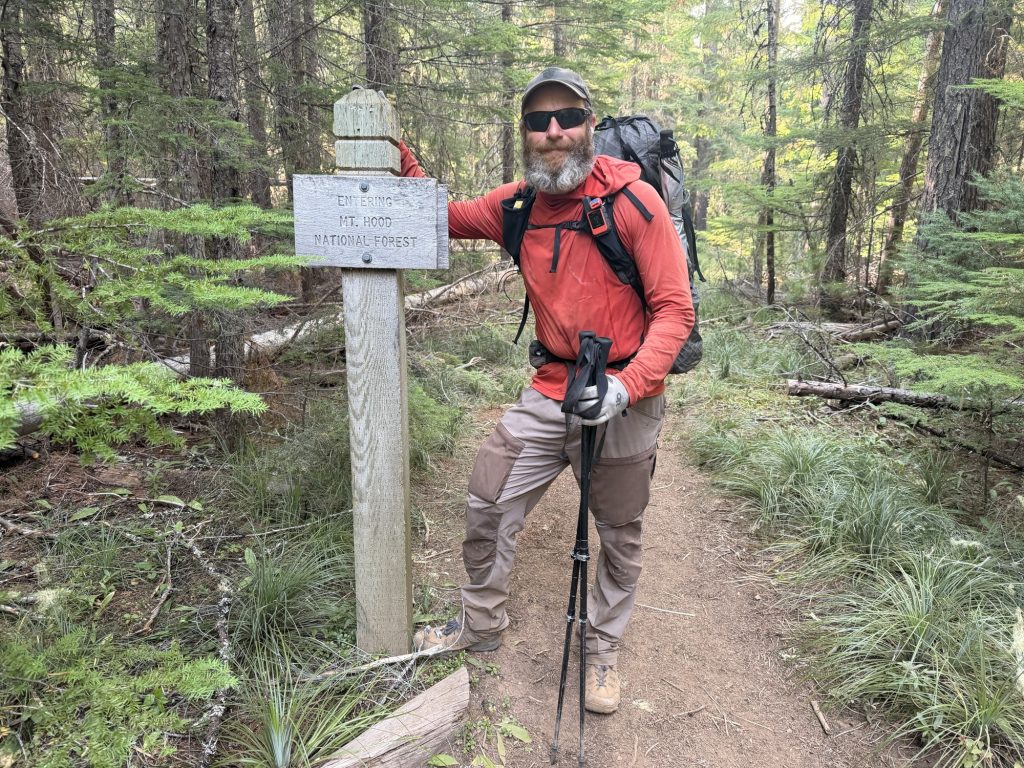
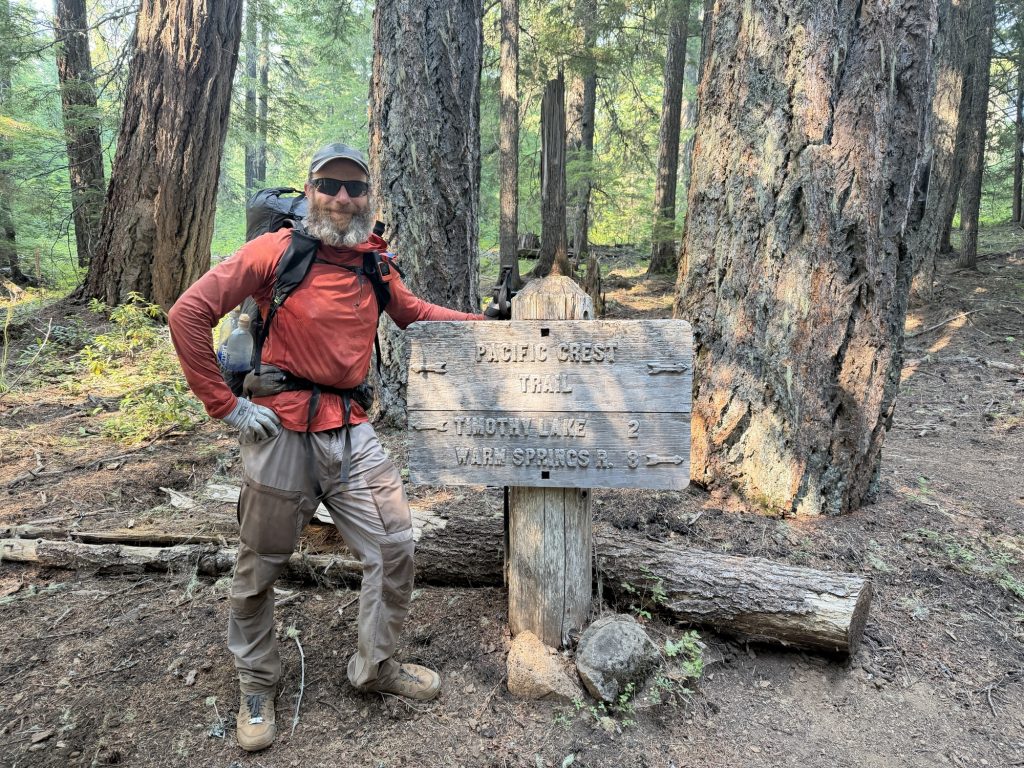
Late in the afternoon I entered Mount Hood National Forest and eventually reached Timothy Lake. By then the wildfire smoke had noticeably thickened, turning the afternoon sun into a deep orange disc hanging low in the sky. The forecast says the smoke will be even worse tomorrow, which isn’t exactly encouraging.
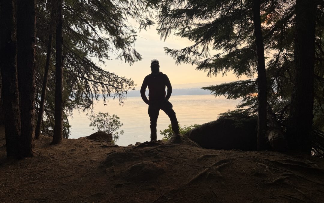
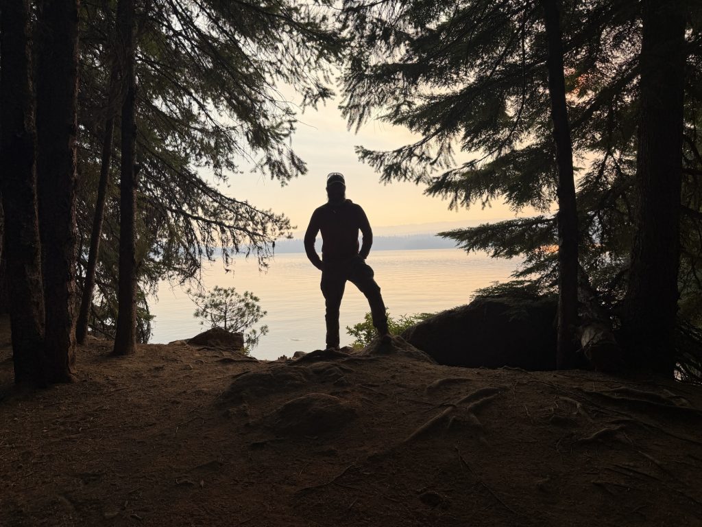
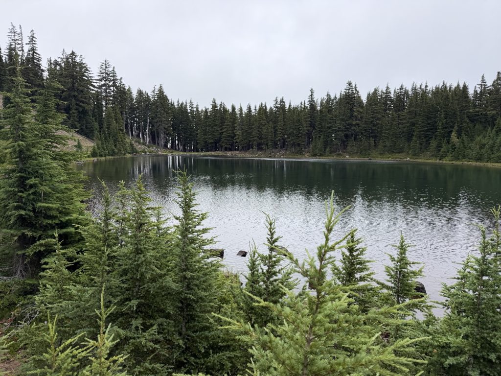
When I reached the lake, there was no way I was walking past without taking a swim. I found a quiet little spot along the shoreline, dropped my pack, and dove into the cool water. It washed away the sweat, dirt, and grime that had accumulated over the last few days, and for a few minutes I forgot all about my aching ankles.
One thing that’s taken an unbelievable amount of self-control is the can of cola I’ve been carrying since Olallie Lake. It’s been sitting in my pack all day, and I’ve resisted drinking it because I’ve promised myself it’s for tomorrow. Honestly, avoiding it has almost been harder than hiking.
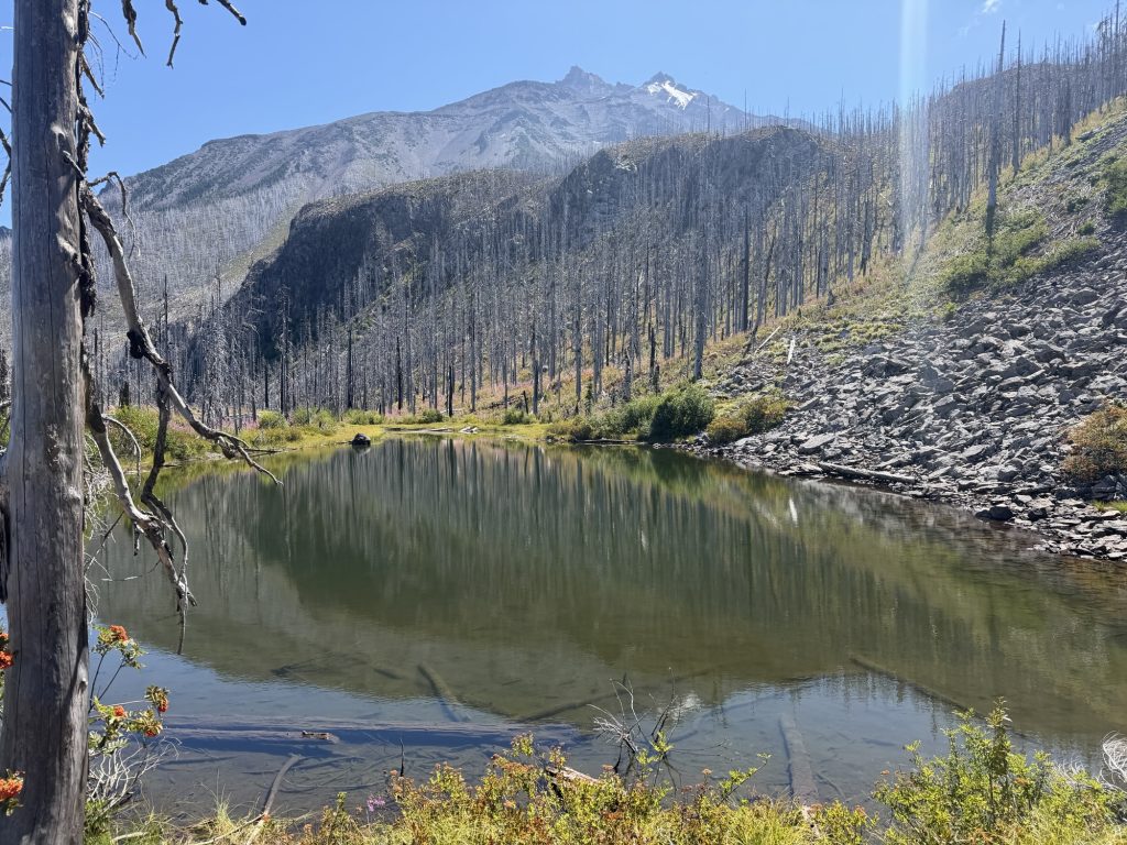
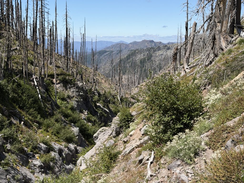
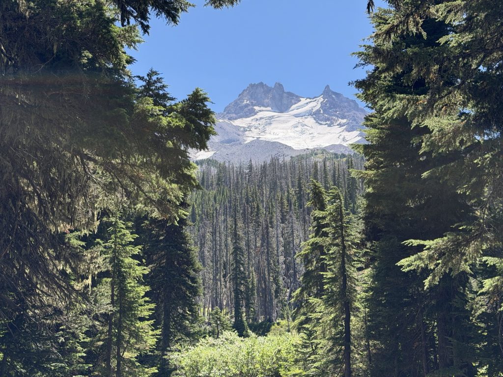
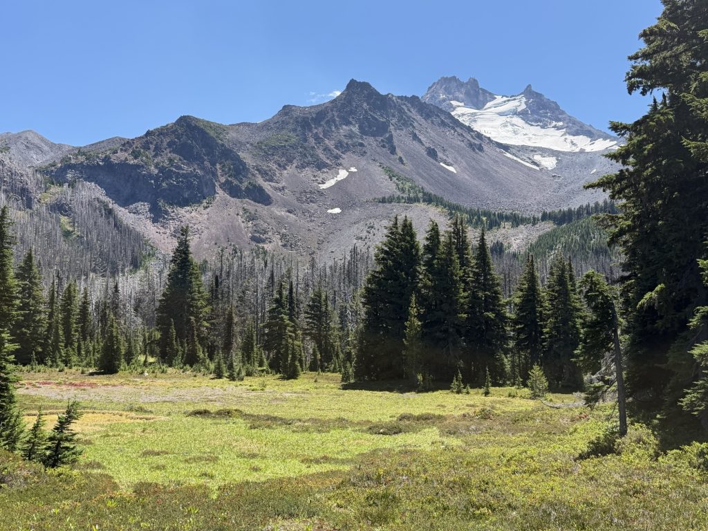
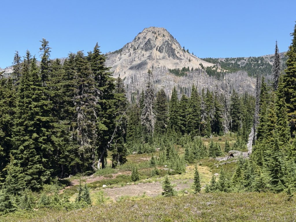
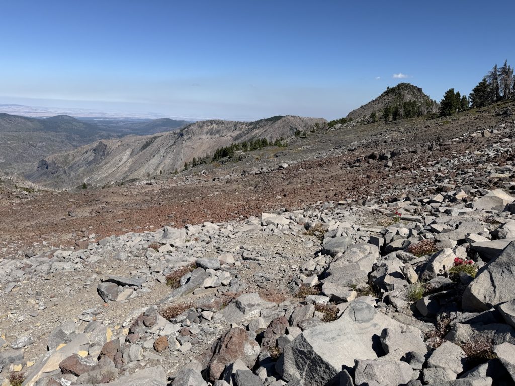
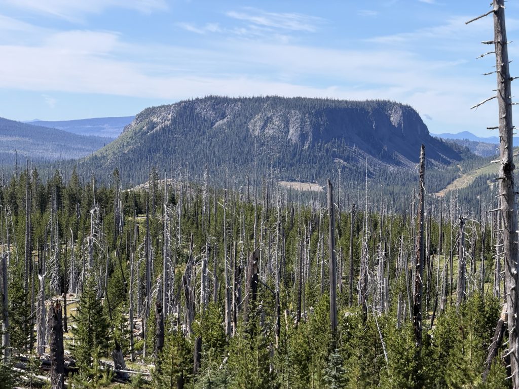
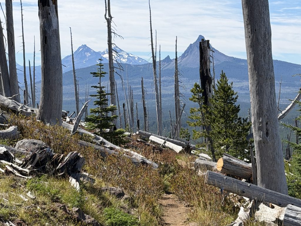
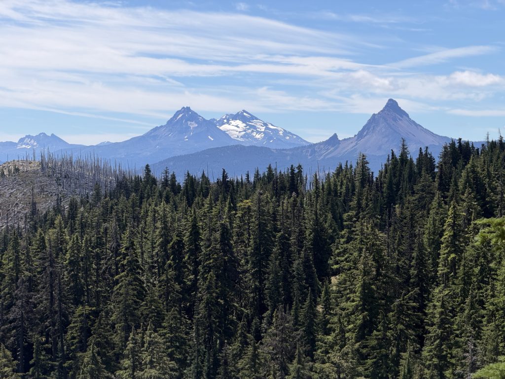
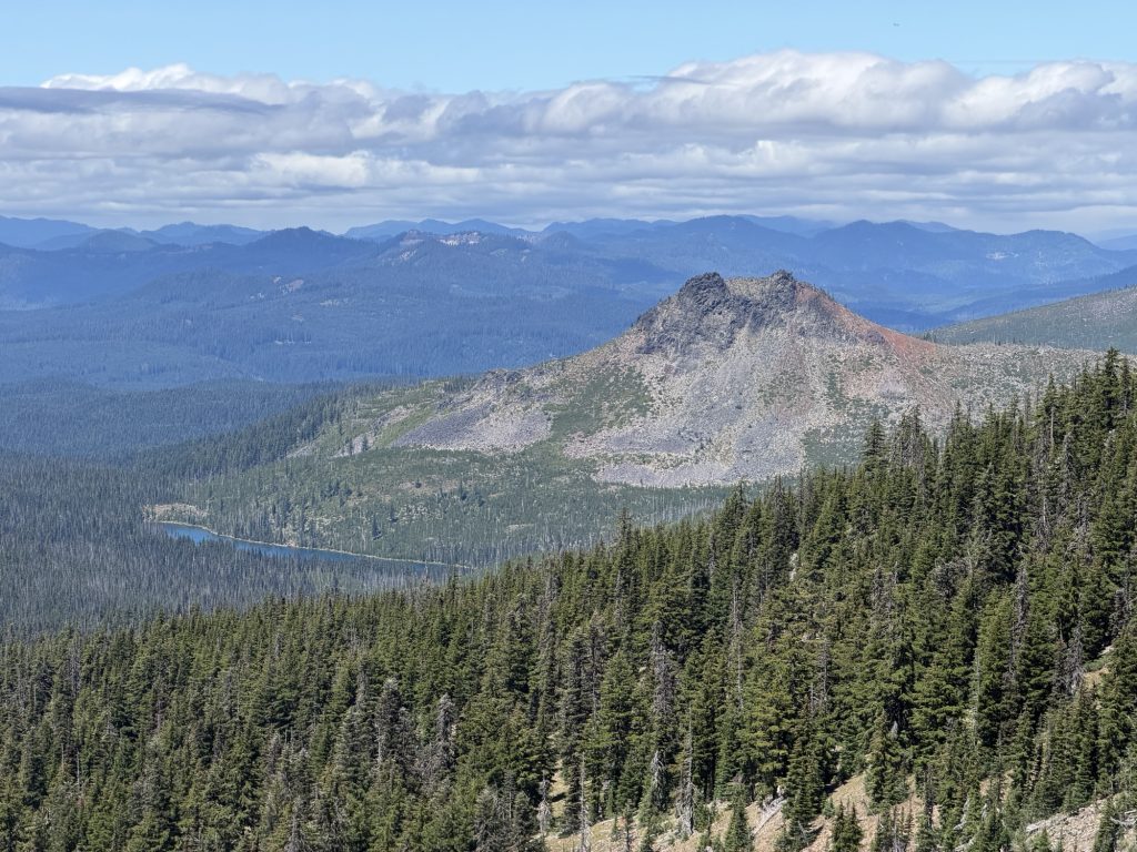
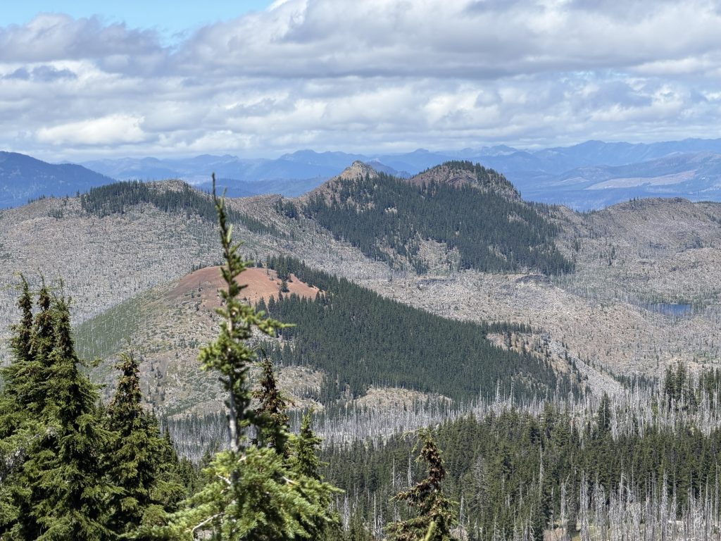
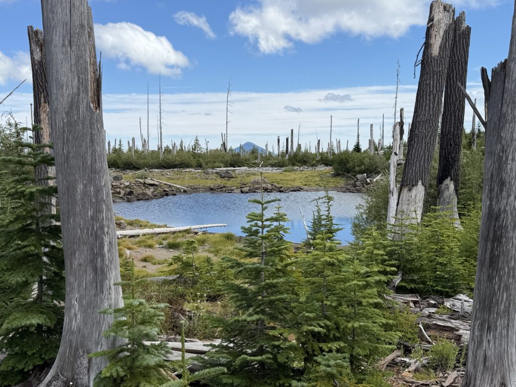
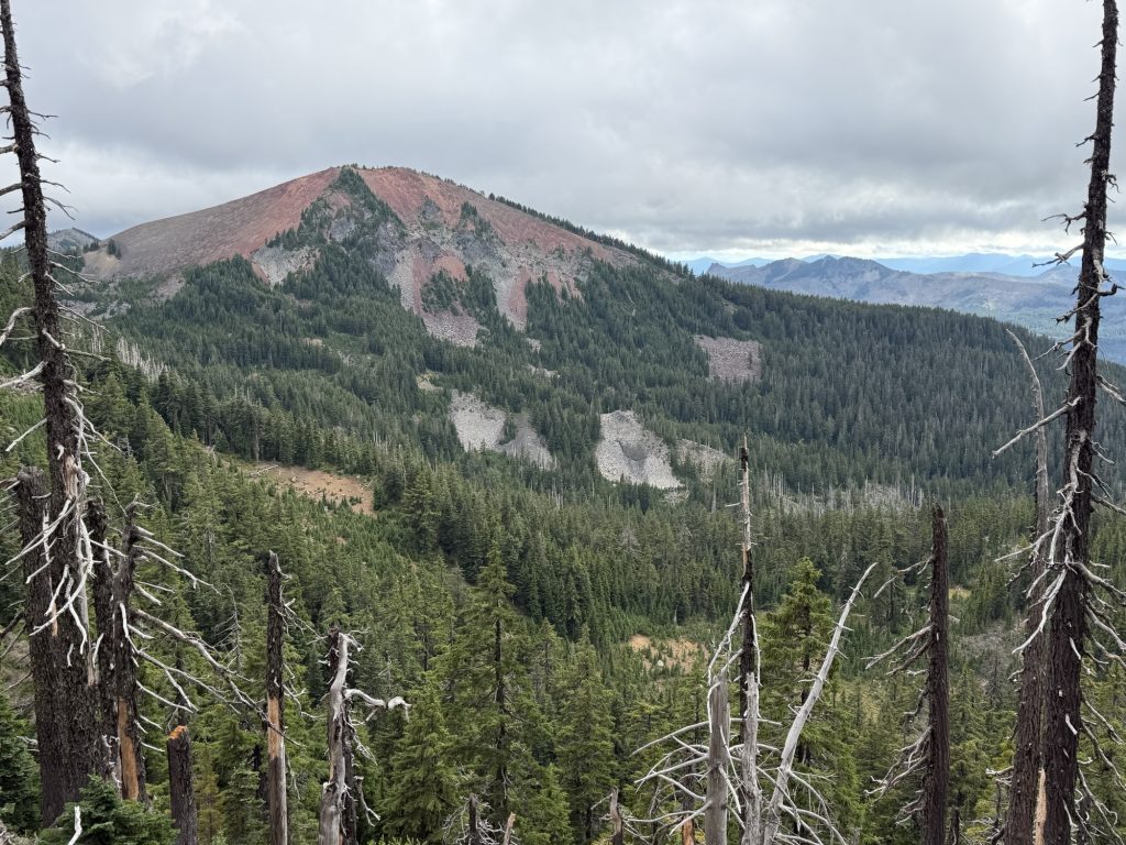
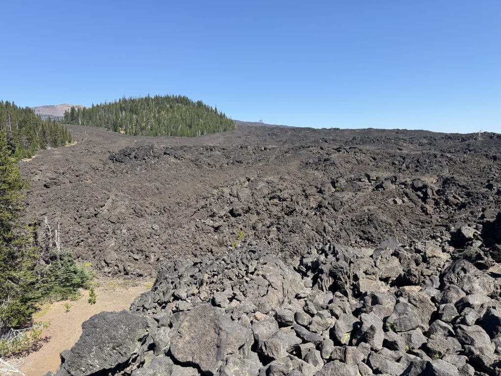
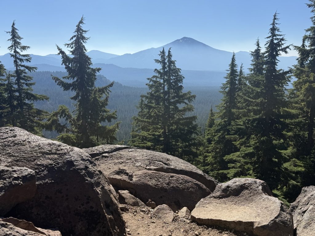
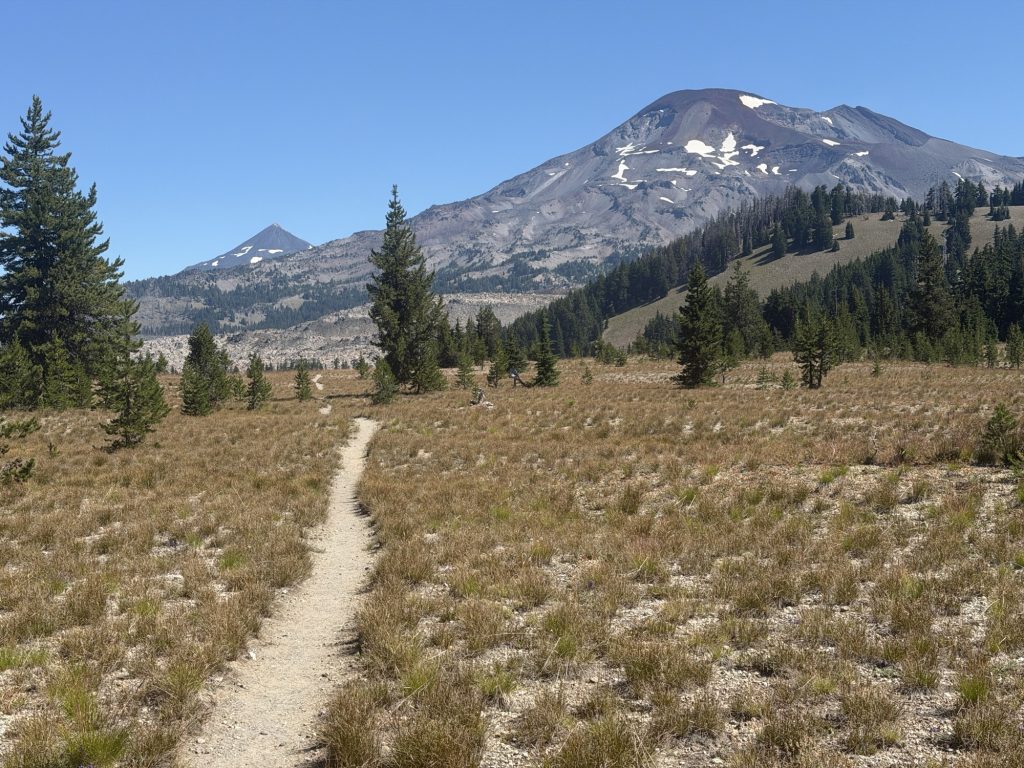
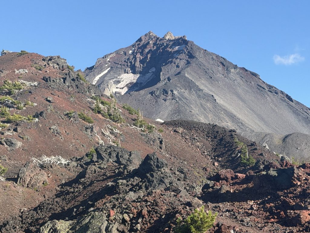
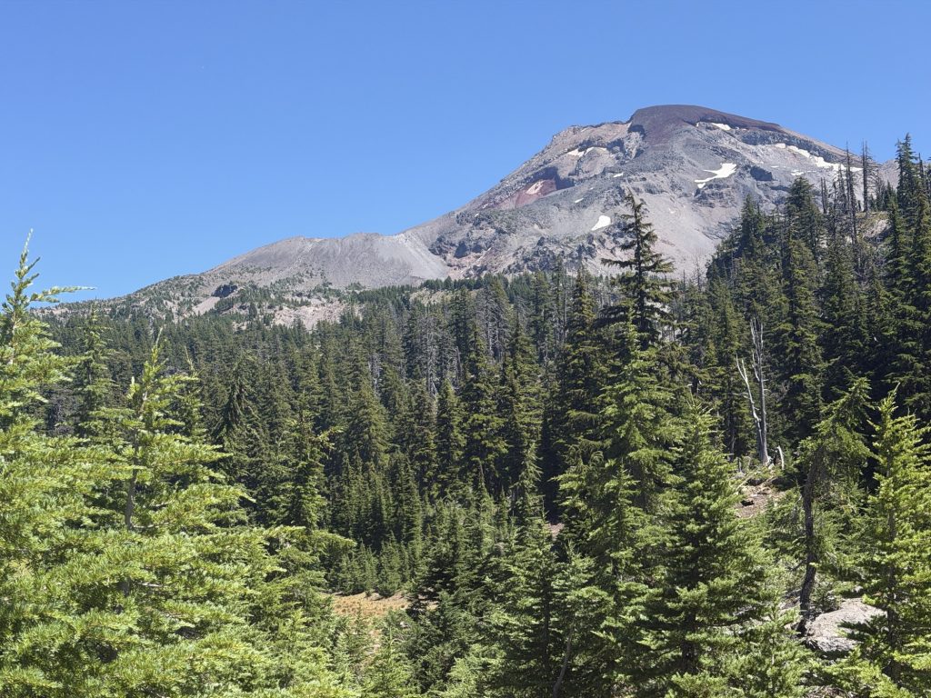
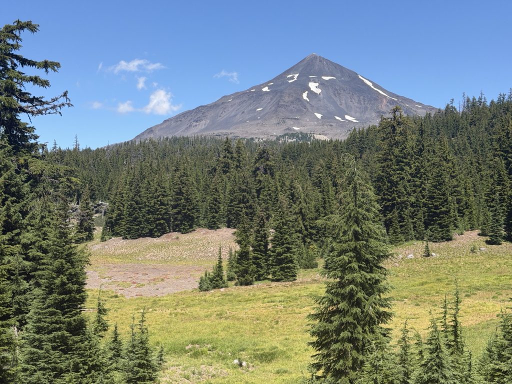
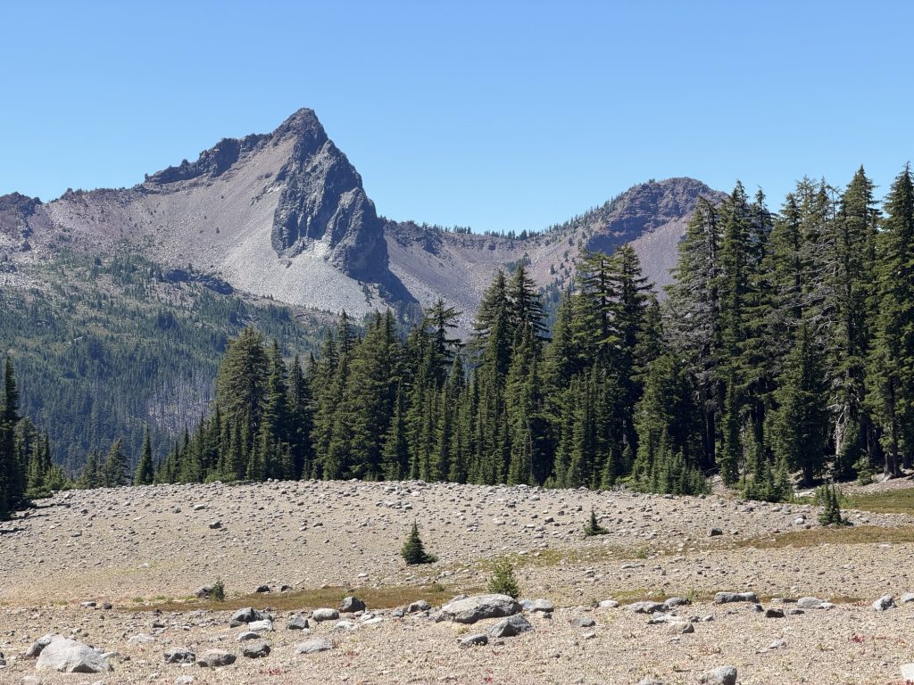
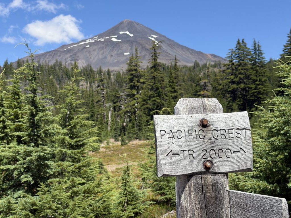
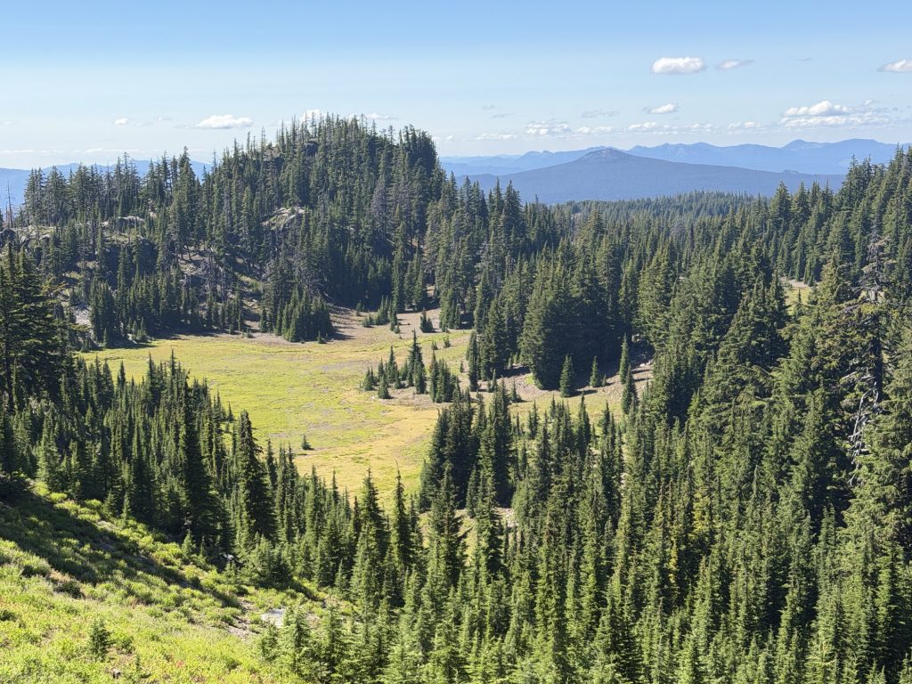
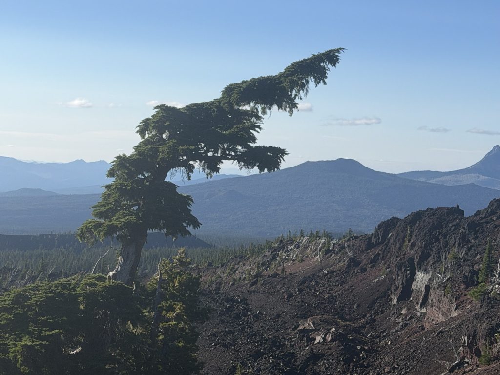
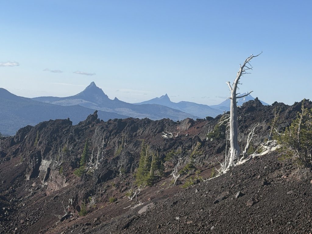
There weren’t many views to speak of today after leaving Olallie Lake, but after yesterday’s endless burn scar, I didn’t mind being back in Oregon’s famous green tunnel. The smooth tread and quiet forest made for easy walking, at least until my legs decided they’d had enough.
To top it all off, the zipper on the inner mesh of my tent finally gave up after two weeks of acting up. If I get really lucky, I can still sometimes coax it shut, but it’s definitely on borrowed time now. Thankfully there have been almost no mosquitoes the past couple of nights. Hopefully that streak continues until I can figure out a more permanent fix.
PCT Day 119 – PCT Mile 2020.7 to Olallie Lake (2048.7)
August 2, 2026
Total PCT miles: 28.0
Non PCT miles: 0.0
Total: 28.0 miles / 45.1 km
Total elevation gain: 3865 ft
Total elevation loss: 5351 ft
Steps: 64260
Remaining Distance: 606.3 miles
It was a cold wake up this morning with the temperature just above freezing. A stark contrast to how it’s been for at least the last month. Normally it’s been too hot every night even with my tent door open and barely sleeping under my sleeping bag. But last night I had my tent closed up and my quilt firmly secured. Fortunately even without my warm sleeping clothes that I mailed up to Timberline I was plenty warm.
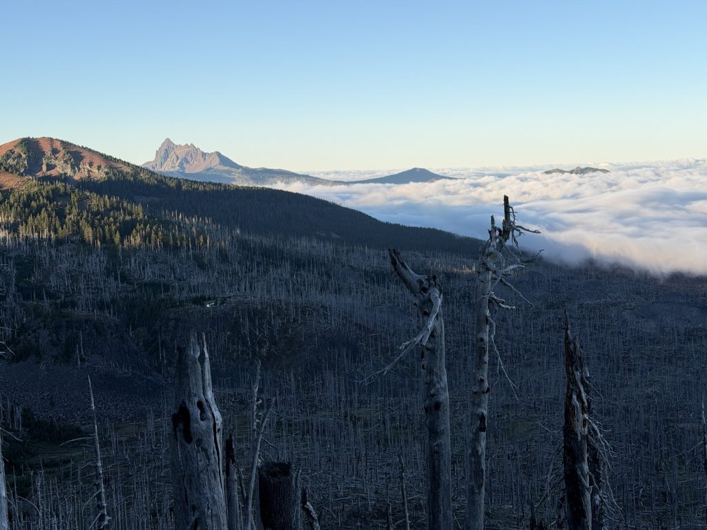
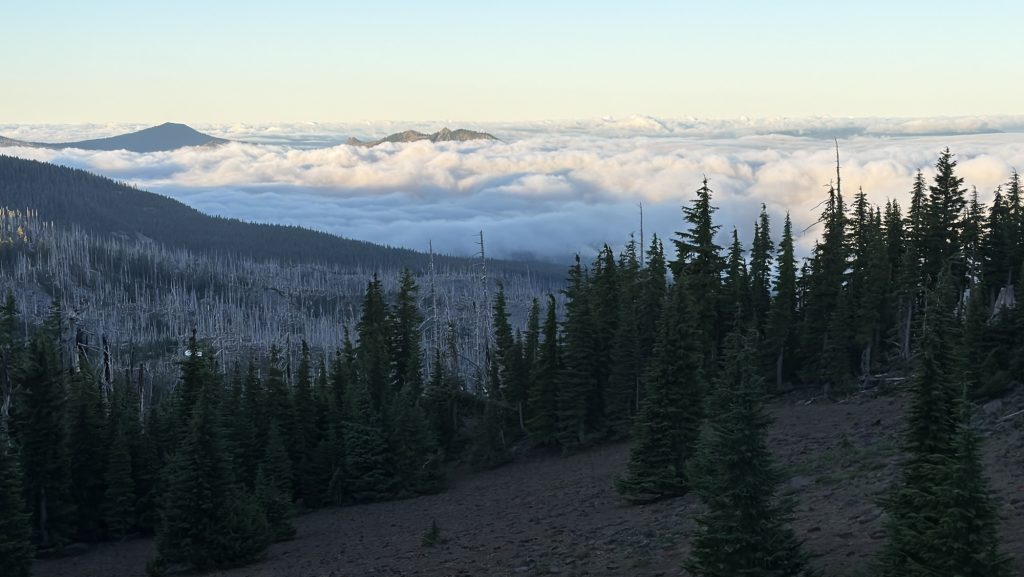
Because the temperature I waited until the sun started hitting my tent until I got ready for the day. I was treated to a beautiful sunrise in the east and to the west cloud inversions in the valley below. I started off at 630 with an ambitious goal of reaching Olallie lake before the store closed at 1930.
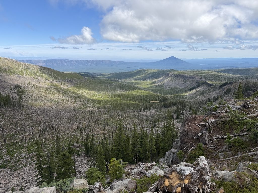
The morning hike was beautiful and great trail. I believe there is someone attempting a FKT going SOBO and they passed me this morning. After Milk creek, probably the nicest water source I’ve seen all of Oregon, started a 2000 ft climb with many added decents over 10 miles most of which was in burn, exposed trail with lots of blowdowns. I’ll say there was very little to be enjoyed for most of this until entering Jefferson Park.
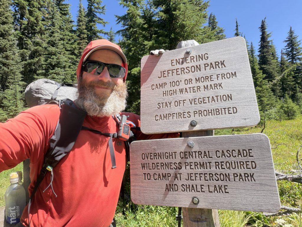
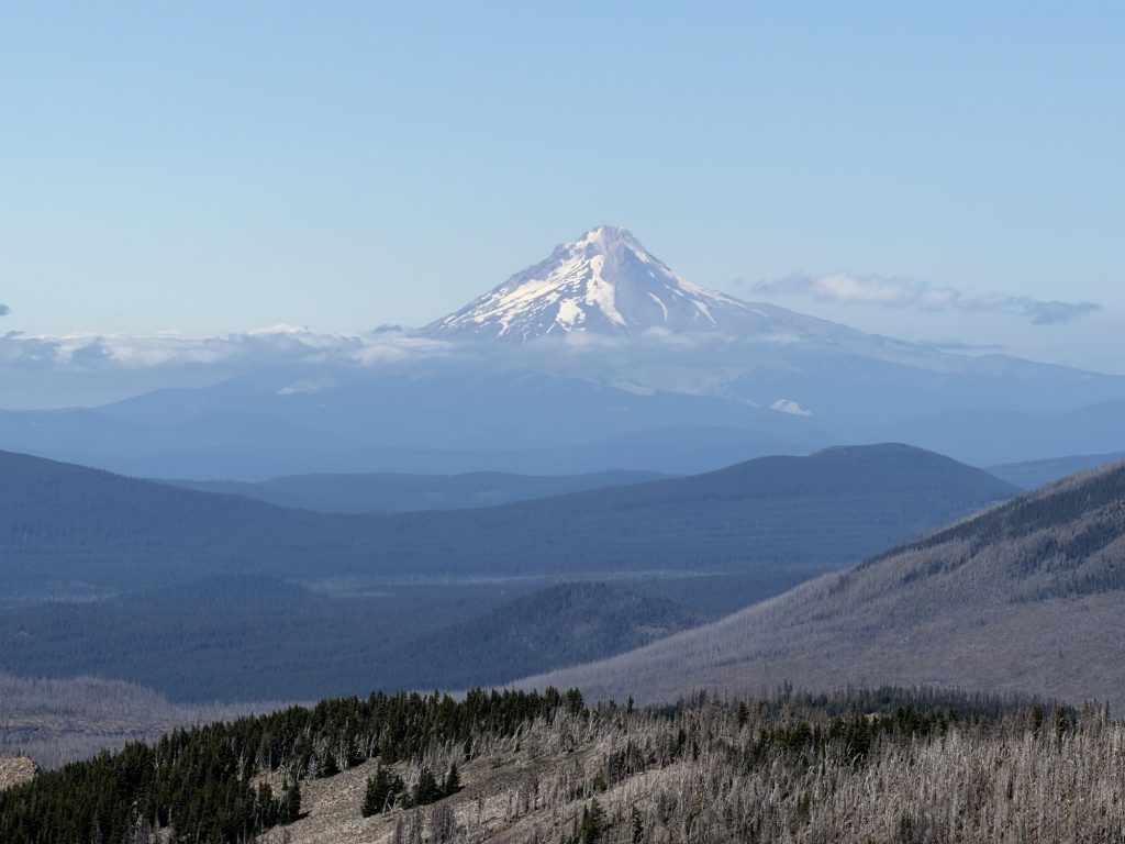
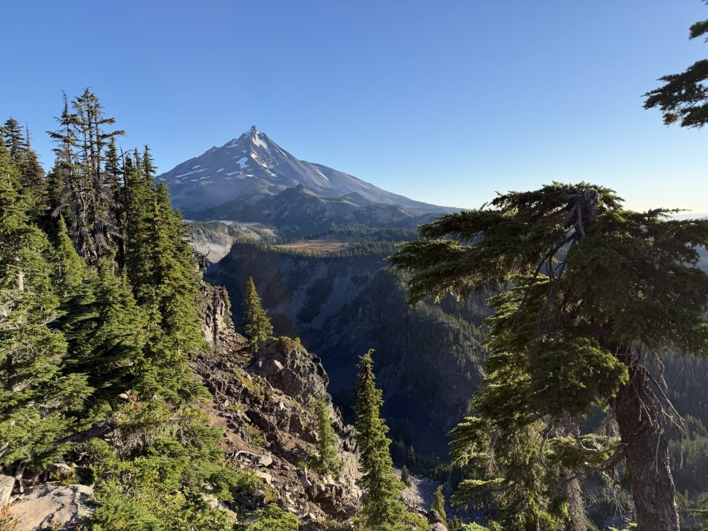
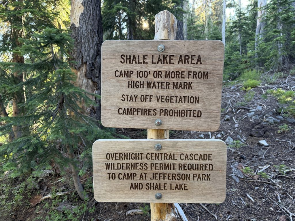
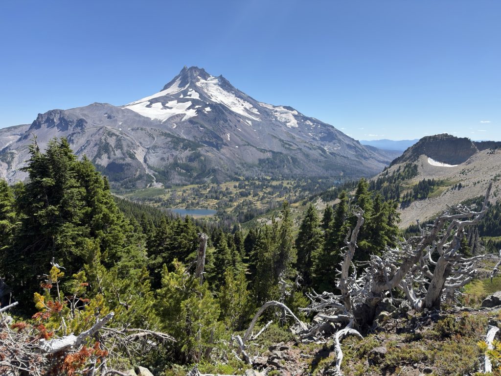
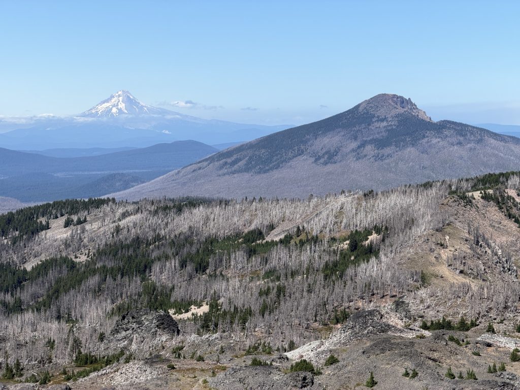
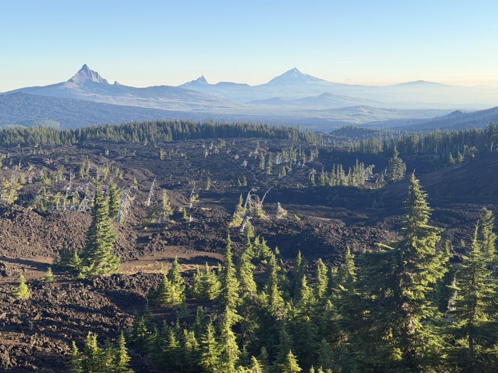
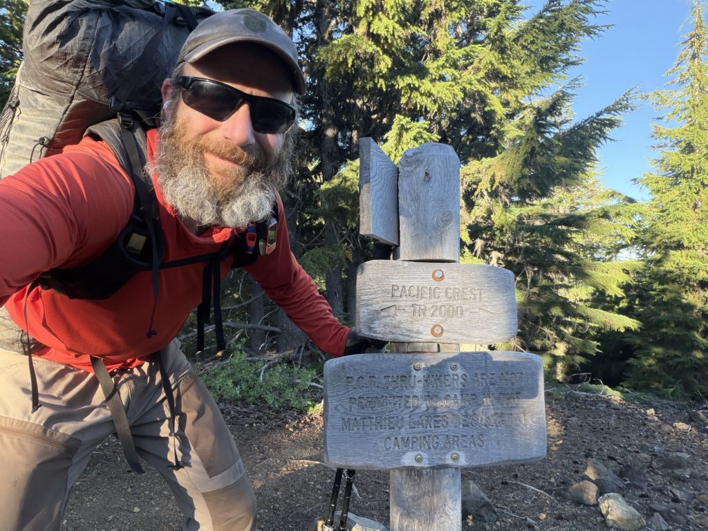
Jefferson Park is a 3ish mile section of the trail that the PCT permit does not allow you to camp in. There are several of these sections in Oregon. It goes around Mount Jefferson and provides some beautiful views of the mountains and miraculously is not a giant burn scar like the surrounding areas. It ends with a steepish climb to almost 7000 ft when you get your first view of Mount Hood some 60 miles north.
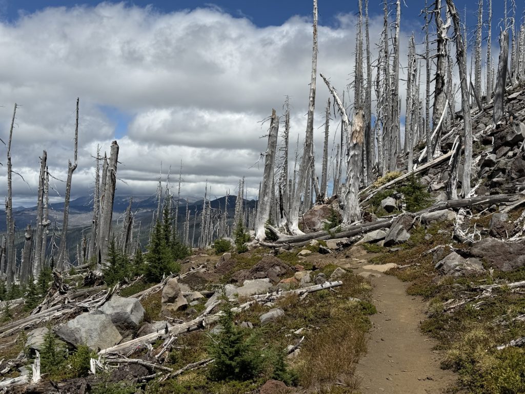
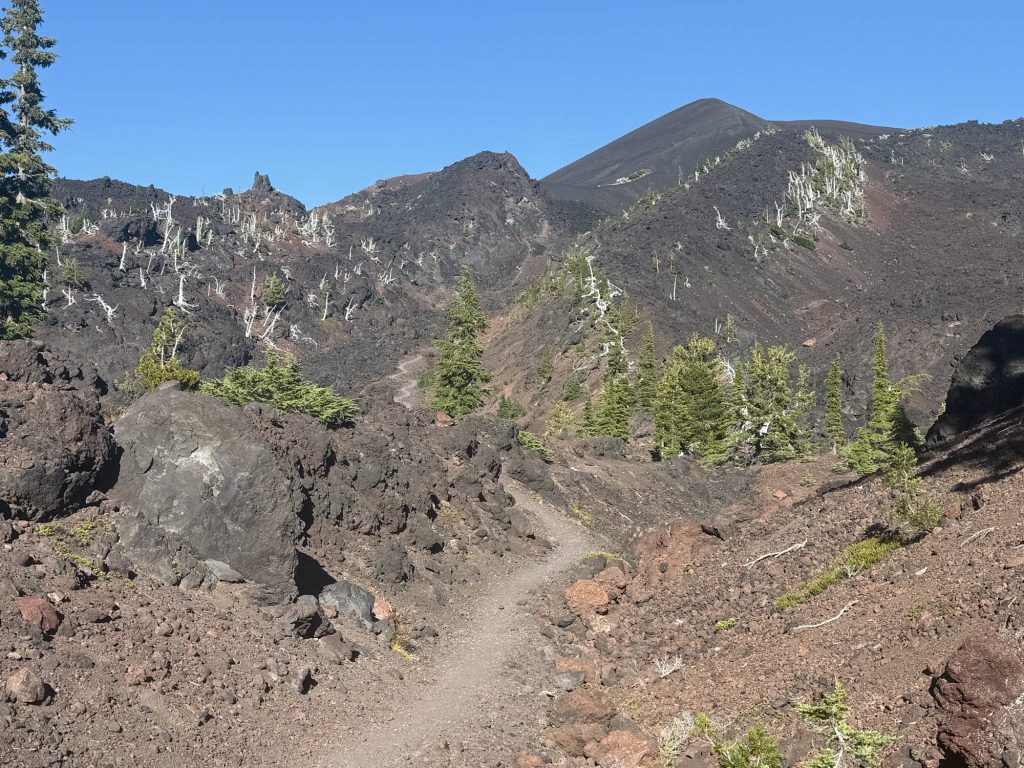
From here the trail is almost either rocks or burn scar all the way to Olallie Lake. I fell once slipping on rocks and bashed my knees twice trying to climb over logs. There is a “shortcut” via a forest service road that I ended up taking because I was tired of the blowdowns. I don’t think it was any shorter but I was able to hike much faster on it. The road walk was still in the burn area and had a very post apocalyptic feel to it. Because of the road walk I got to the store about 45 mins before it closed and was rewarded with cold cola, chips and cookies.
I had a real hard time falling asleep last night. I tossed and turned in my tent until at least 2300 hours before I finally fell asleep. Fortunately I wasn’t planning an early morning because I wanted to enjoy breakfast pancakes from Magic Mike but when my alarm went off I certainly did not want to get out of bed.
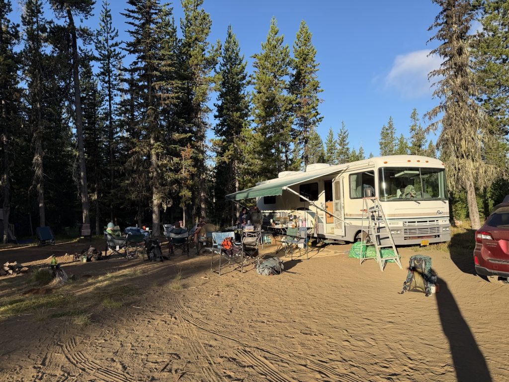
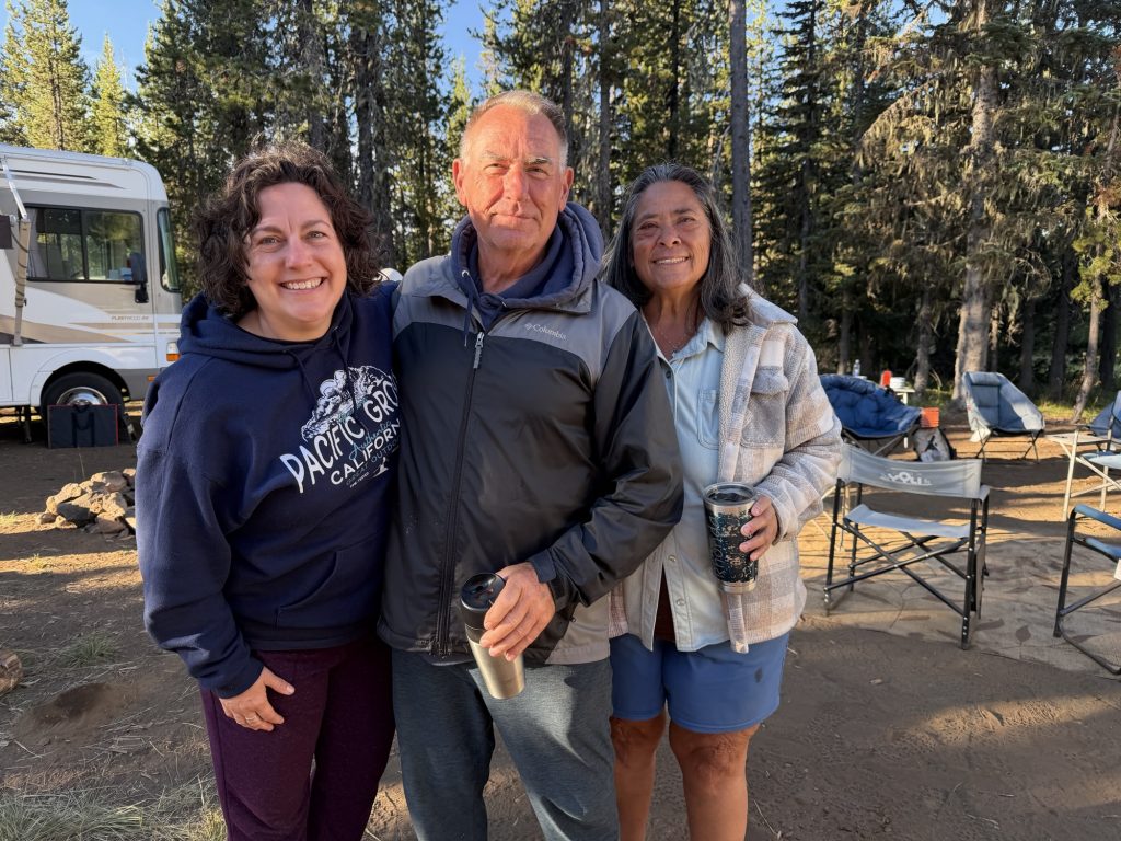
Pancakes and French toast are the perfect way to start a long hiking day. This was amazing trail magic and I’m very greatful to have been fortunate enough to arrive here before they leave this weekend. It was great to meet Magic Mike and his gang and chat with the various hikers last night and this morning.
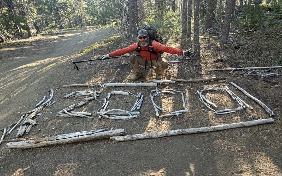
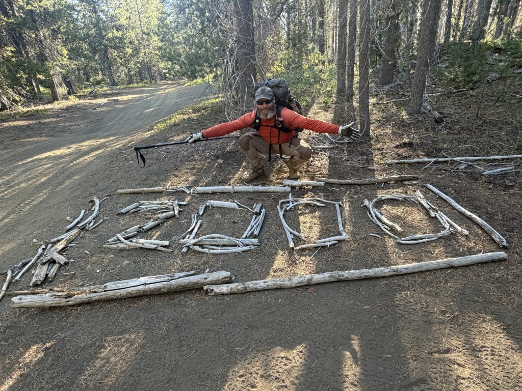
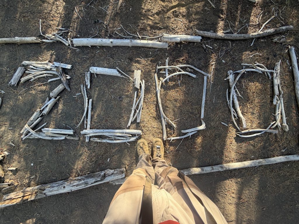
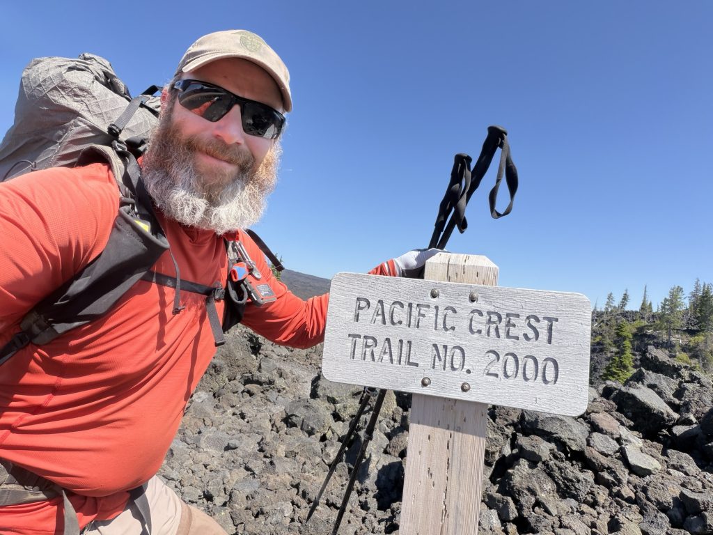
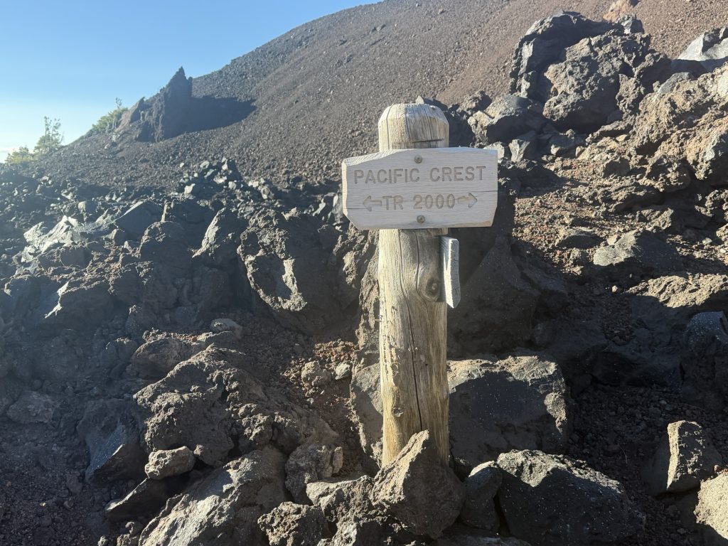
I said my farewells and was on the trail around 0730 hours.It was less than an hour before I reached the 2,000-mile point on the PCT. There’s no official monument here, but someone has built a large “2000” out of sticks beside the trail that’s impossible to miss. I stopped for the obligatory photos and took a few minutes to appreciate the milestone.
Although I’ve skipped a few sections because of injuries and time, it still feels surreal to have made it this far. I’ve hiked roughly 1,700 miles to reach this point, and that’s a distance that’s hard to wrap my head around. When I started this journey back at the Mexican border, 2,000 miles seemed almost unimaginable. Now, with just over 600 miles remaining, Canada finally feels closer than Mexico.
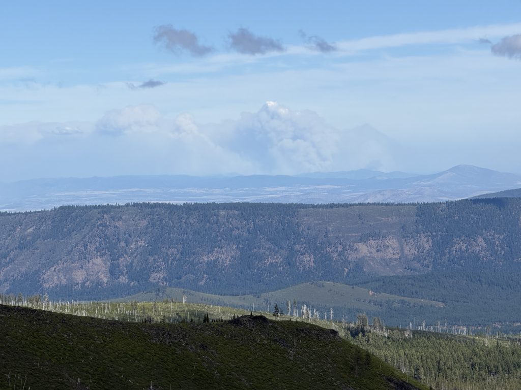
Continuing along the trail the rest of the day was a mix of burn scared areas and green forest. The temperature was much cooler than it has been with a high of only 14 degrees and cloudy. Unfortunately the wind was also blowing hard which I’m sure is not helping the many forest fires. For much of the day I could see the smoke rising from a fire that are fortunately for me quite far away to the east.
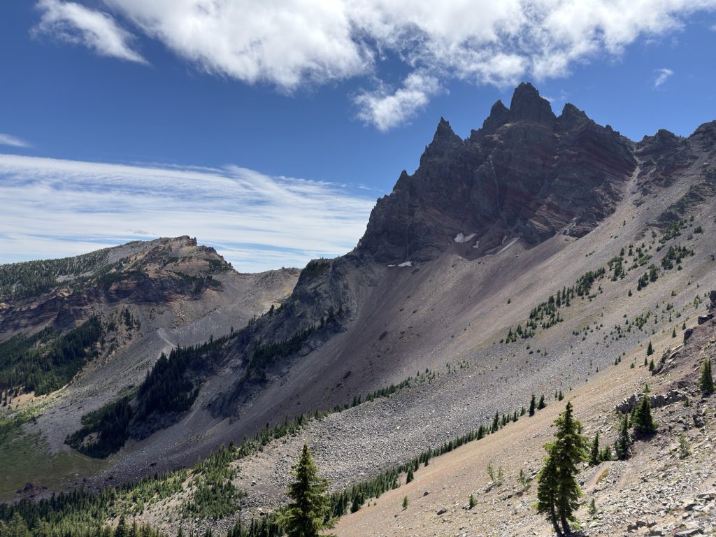
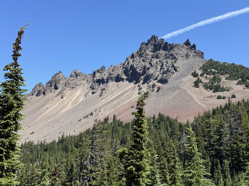
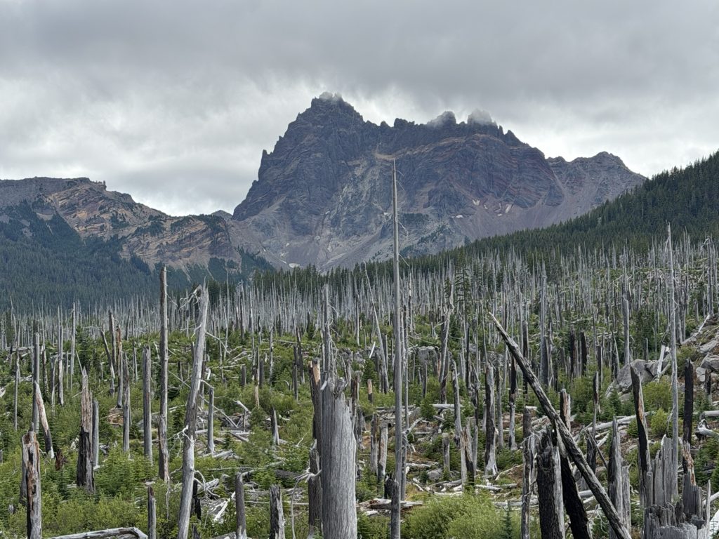
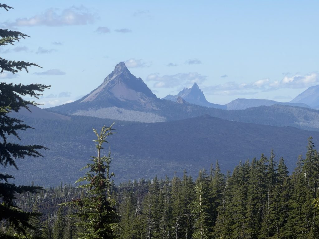
The day brought me around Three Finger Jack, had great views into some of the valleys below and finally finished in a campsite where if there were no clouds would have an amazing view or Mt Jefferson. I leapfrogged a few north bound hikers and had 5 or 6 southbound hikers go the other way.
It’s going down to 2 degrees Celsius tonight which will make this the coldest night since Sonora Pass. Unfortunately I’ve sent most of my warm stuff to Timberline lodge but fortunately my sleep system is so warm I should be pretty comfortable.
PCT Day 117 – Zero Day Bend (1985.3) to PCT Mile 1998.7
July 30 & 31, 2026
Total PCT miles: 13.4
Non PCT miles: 0.0
Total: 13.4 miles / 21.6 km
Total elevation gain: 1936 ft
Total elevation loss: 2566 ft
Steps: 35190
Remaining Distance: 656.3 miles
Zero Day In Bend
I had the continental grab and go breakfast with Caddy Shack, Oscar and his friends and bid them farewell. They are all returning to the trail today but my plan was to enjoy a semi relaxing day in town. Fortunately since I sent resupply boxes throughout Oregon I didn’t need to resupply.
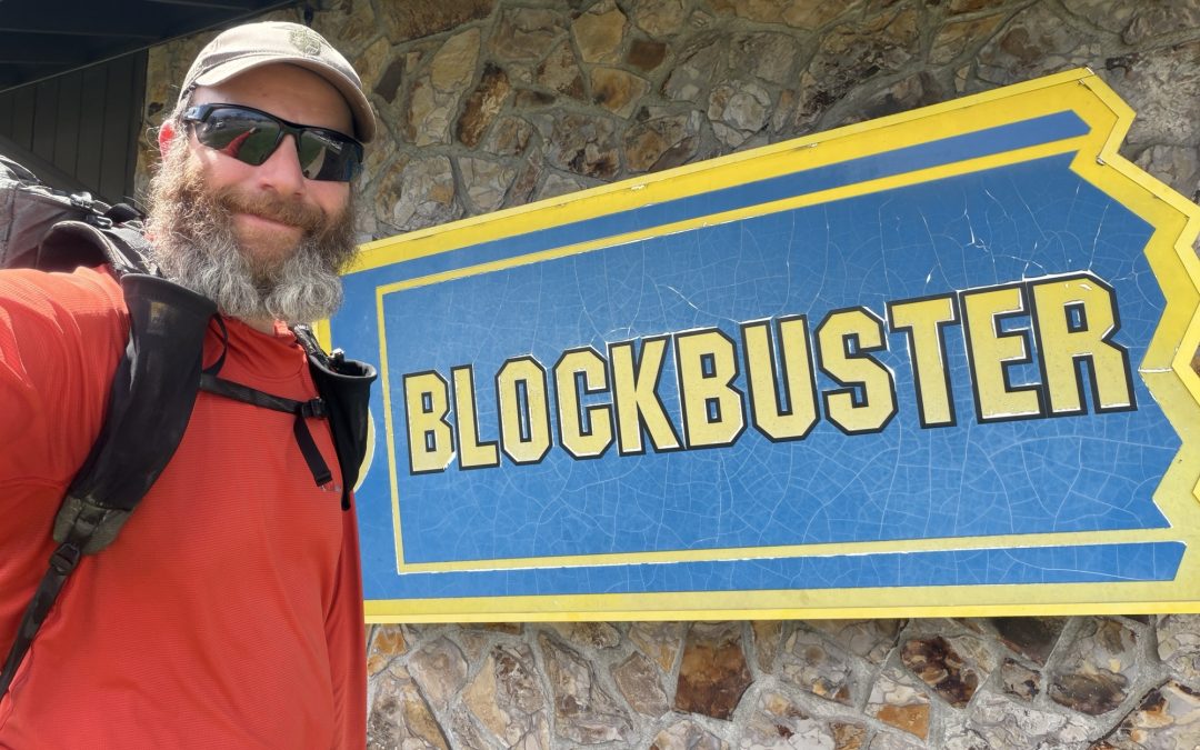
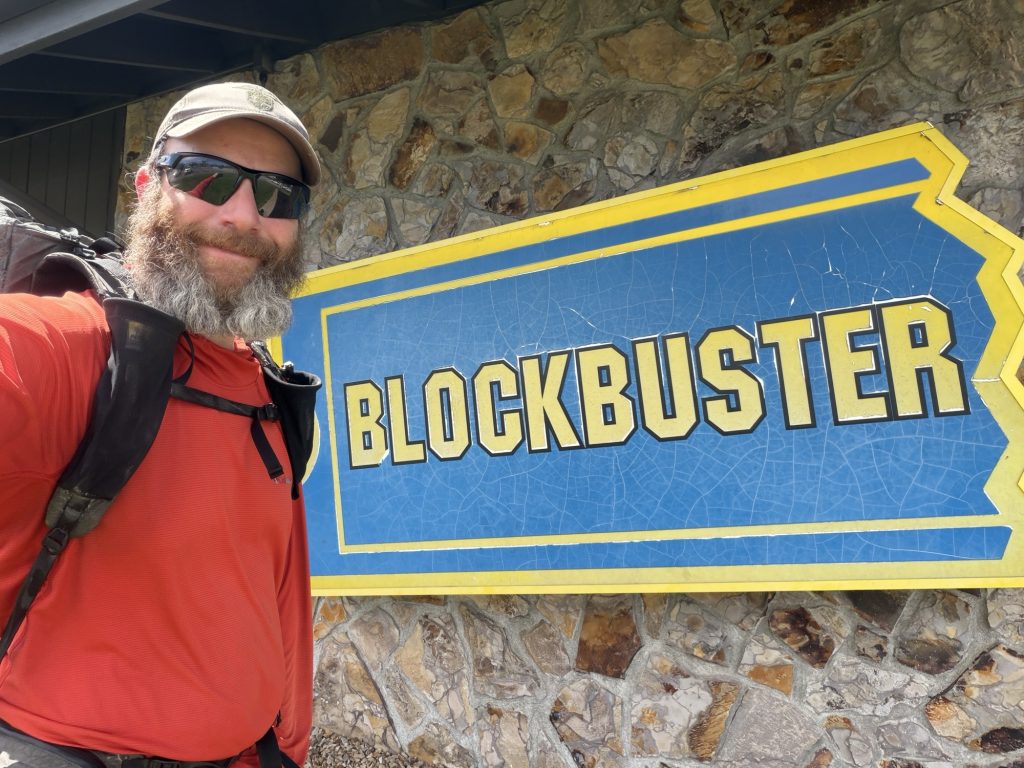
I hit up a few gear shops hoping to replace my lightweight sun hoodie that now has two holes in the back. Unfortunately I couldn’t find anything suitable. Hopefully I’ll find something at PCT days. I accidentally stumbled upon the last Blockbuster Video store in existence which is located in Bend. What a time warp. You can rent videos or purchase merchandise but there is also a small display about its history. Apparently there is a documentary about this store. Not hanging a DVD player or a desire to carry anything I found a postcard which I later mailed to Mel back home.
After this I grabbed a bunch of food from the nearby Safeway and relaxed at the hotel and spend some time in the hot tub. I also finally got a chance to update my blog. It’s been challenging in Oregon to keep it up to date and schedule posts as I haven’t stopped for long or when I have the internet has been less than ideal.
I managed to sort out a ride tomorrow back to Mackenzie Pass from Bend with someone who is staying in town for a week helping out hikers. Score!
I went to bed a little later than planned but oh well.
July 31st Back on Trail
I woke up this morning feeling very stiff. Maybe I walked to much yesterday on my “zero” day. My ankles, calf’s and knees did not want to move. But alas it’s time to go the miles will not walk themselves. Trust me I’ve tried the best I can to will it to no effect.
I was picked up my Mike at 930 along with 2 other hikers that were going to Santium pass (the next exit from trail into Bend). Mike is planning on hiking the PCT next year and the only payment he wanted was advice for his trip. I provided all the advice I could think off on the hour drive from Bend to Mackenzie Pass.
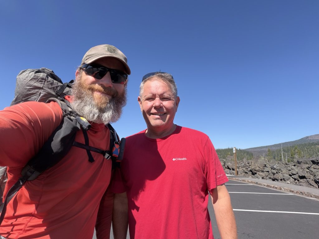
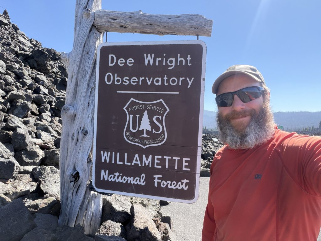
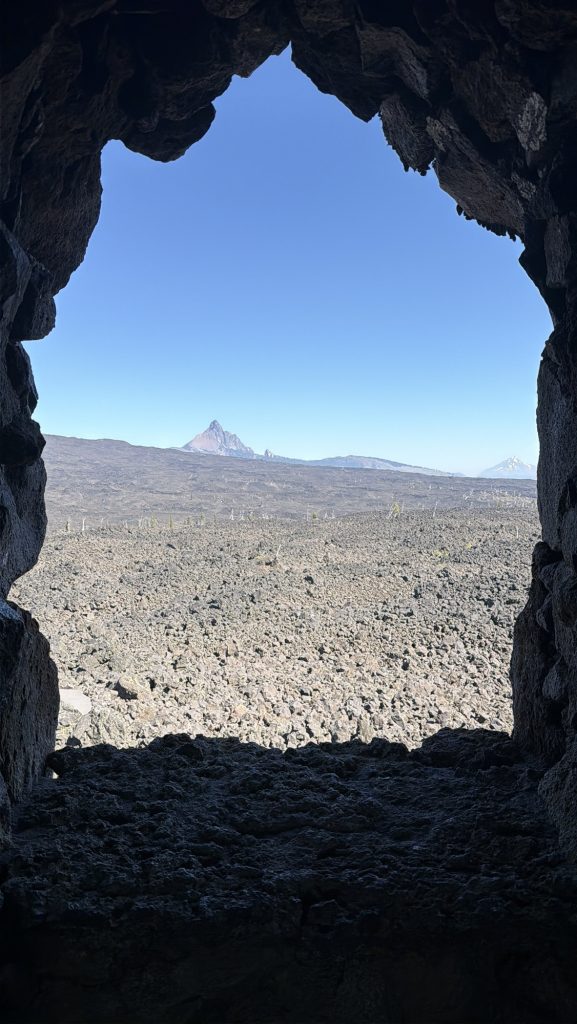
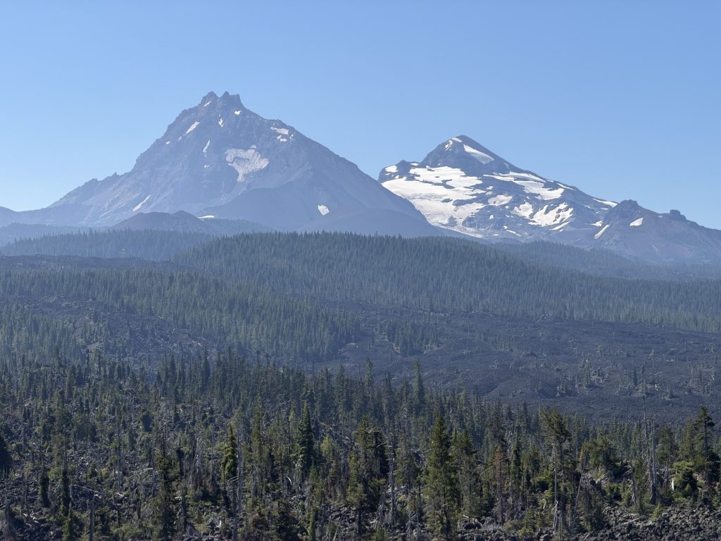
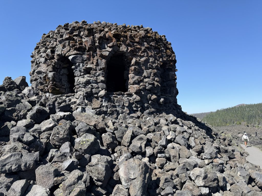
At the trail head I took a few moments to visit the Dee Wright Observatory which provides views along the surrounding lava fields and mountains and was on my way. I don’t get far because at the actual road crossing Trail Angel Tod (TAT) was set up with cold drinks and snacks. I stopped in and stuck around for a while because I was trying to avoid the next section for a little while. Turns out he massively helped out the hiker who set the FKT this year on the trail. Their support vehicle broke down so he lent them his truck. What a legend!
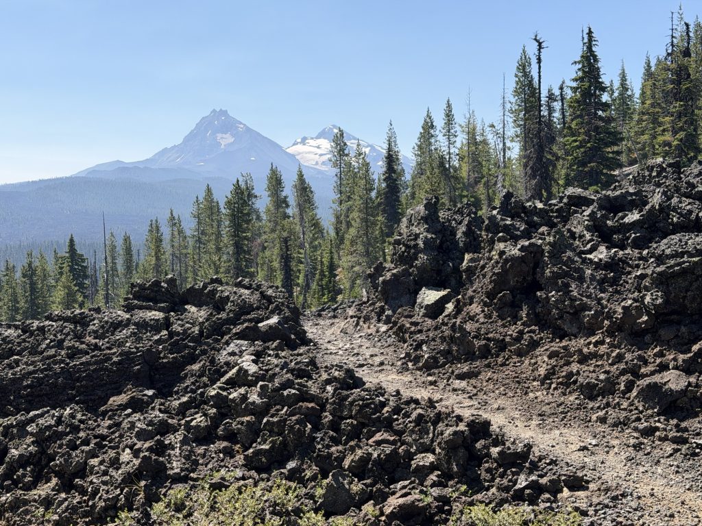
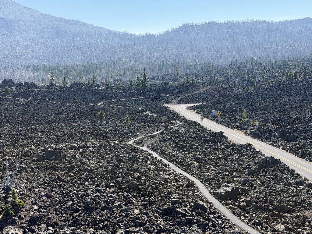
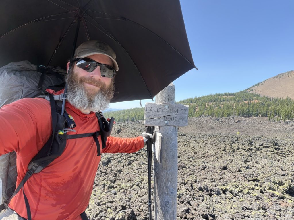
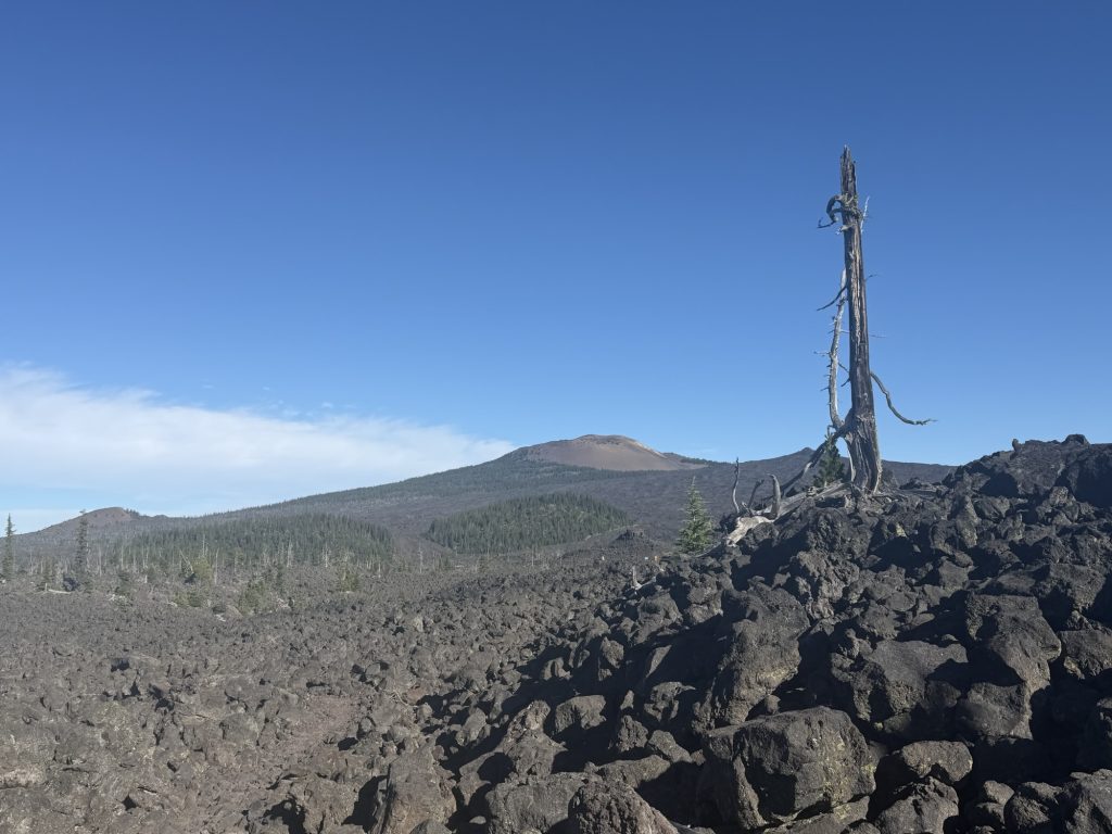
The trail from here starts on a lava field and is generally miserable but beautiful in its own way. Every step could be an ankle sprain and there is no shade. I deployed my sun umbrella that I am surprisingly still carrying because I haven’t used it much and did my best to embrace the suck. My legs and ankles were screaming at me for the entire 5 miles of lava and my pace was slower than anything I’ve hiked in a long time. I was shocked to come across a forest service ranger out on the trail. He even checked my permit. It’s the first time I’ve had to show it to a ranger.
Eventually the lava field turned into a mix of lava field and burn scar before changing into just burn scar.
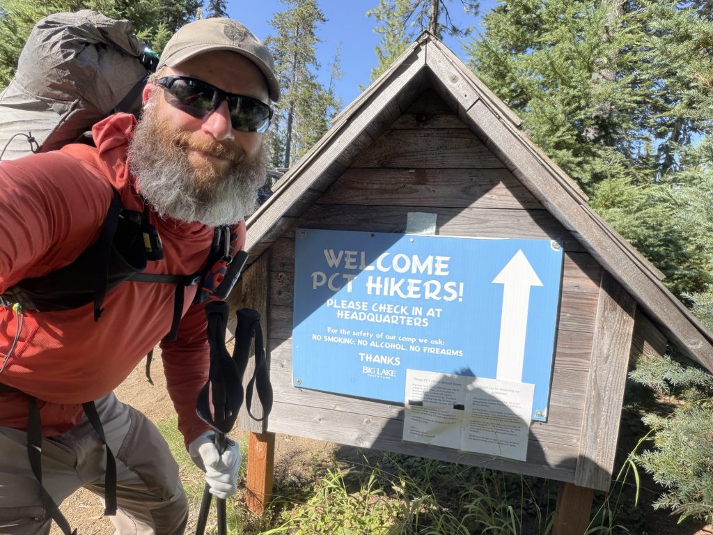
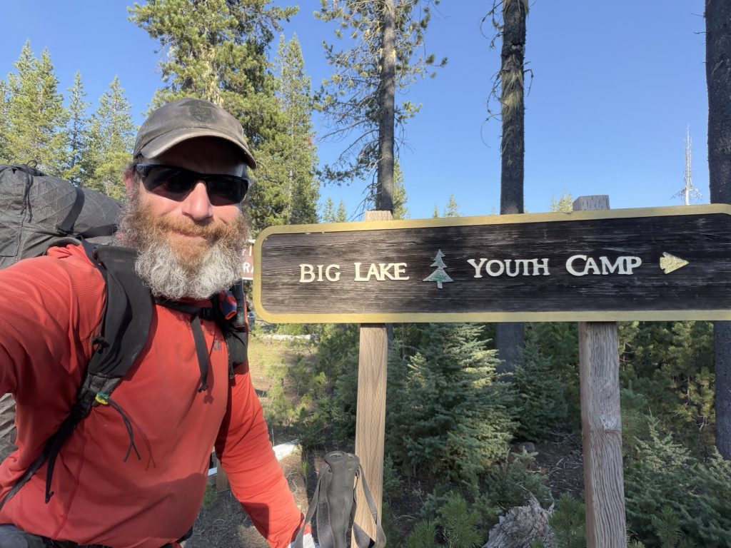
I arrived at Big Lake Youth Camp around 1700 hours. This is a popular stop on the PCT. They hold boxes, have showers and laundry for hikers at no cost. You can even join them for breakfast and dinner. I had sent a box here but didn’t need to shower or do laundry and I’ve been hearing about this amazing trail magic just 0.7 miles from here for days so I was in and out as fast as possible.
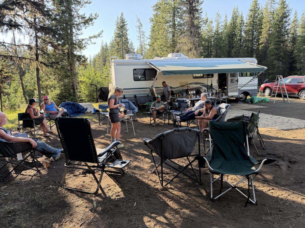
I got to Magic Mikes trial magic at around 1800 and it did not disappoint. He and Goddess along with friends and family have been doing trail magic here for the past 11 years. Every year they come down and spend about two weeks here feeding and providing drinks to hungry hikers. I had the best burger I’ve had on trail here. Meat patty topped with pulled pork, fried onions and cheese. Absolutely amazing and great conversation. I even met another Ontario Paramedic here by the name of Curious George. What a small world.
I am camped super close the the trail magic because tomorrow morning there will be pancakes and I am not missing that! But hopefully my legs will be a little more cooperative and less painful.
PCT Day 116 – Minnie Scott Spring (1977.8) to Bend (1985.3)
July 27, 2026
Total PCT miles: 7.5
Non PCT miles: 0.0
Total: 7.5 miles / 12.1 km
Total elevation gain: 679 ft
Total elevation loss: 2051 ft
Steps: 19850
Remaining Distance: 669.7 miles
Today is finally the day I’m going into Bend. Thank goodness, because I am sore. Over the past 10 days I’ve hiked 257.5 miles (414 km), and my body definitely feels it this morning. When I get back on trail, I’ll have only 191 miles left in Oregon, which is hard to believe.
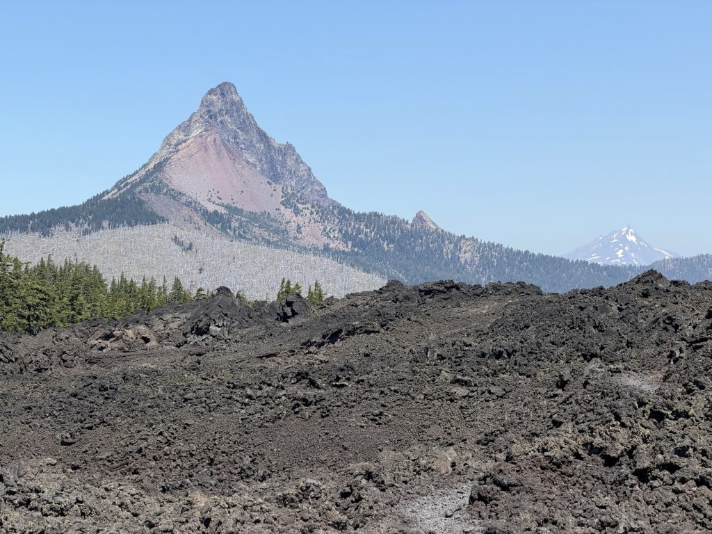
It was a short hike to McKenzie Pass today, though much of it was across loose lava rock. Just what my ankles needed! As desolate as the landscape is, there’s a strange, dark beauty to it that’s hard to explain. The endless fields of black volcanic rock make it feel like you’re walking across another planet.
I made good time to the trailhead and headed toward the restrooms because I’d heard that’s the best place to hitch a ride into town. Looking around, I wasn’t exactly optimistic. The road is a narrow mountain highway with lava rock on both sides, very little shoulder, and not much traffic.
Fortunately, luck was on my side. Just as I reached the turnoff, a car pulled in and the driver, Peter, asked if I needed a ride to Sisters. Peter is semi-retired and spends his summers living and working out of his car. He often comes to McKenzie Pass specifically to give PCT hikers rides into town. Talk about perfect timing. Without him, I have no idea how long I would have been standing there waiting for a hitch.
He dropped me off in downtown Sisters, where I grabbed breakfast and killed some time before catching the 11:40 bus to Bend. Thankfully, the wildfire situation has improved significantly over the last few days. The Akawa Butte Fire is still burning only about 15 miles north of town, but evacuation notices were reduced or lifted yesterday, which is welcome news for everyone in the area.
While waiting for the bus, a southbound PCT hiker named “Caddy Shack” was dropped off at the stop. We spent the next little while talking about trail conditions, and by the end of the conversation we’d decided to split a room at the Days Inn in Bend. It was great hearing about what lies ahead over the next few days—and possibly weeks. Once he finishes the PCT, he’ll have completed the entire Triple Crown of Hiking, an incredible accomplishment.
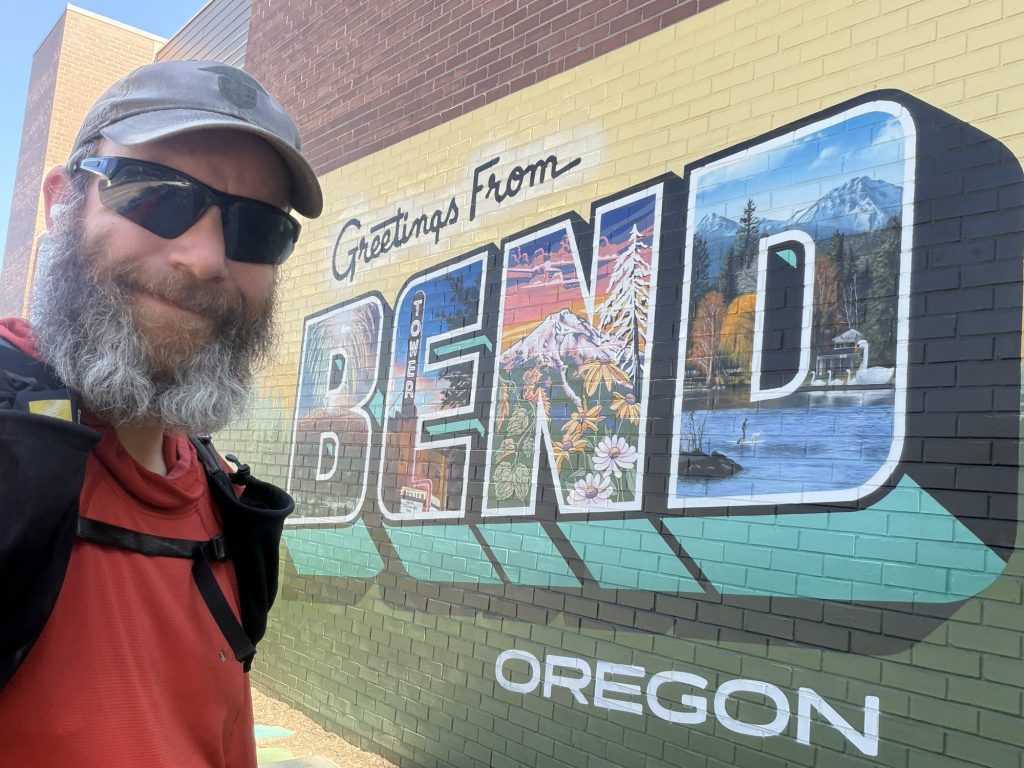
Back in Bend, I ran into Oscar along with several other hikers who were staying at the Days Inn. After so many days of seeing almost no one, all of the conversation and human connection was surprisingly rejuvenating. I don’t think I realized how much I’d been missing simply talking to people.
Tomorrow will be a much-needed zero day before heading back to the trail. I’m still physically, mentally, and emotionally exhausted. The last few weeks have taken more out of me than I expected. But I know I can keep pushing—at least through the rest of Oregon. Once I reach Washington, I’ll decide what comes next.
PCT Day 115 – PCT Mile 1951.8 to Minnie Scott Spring (1977.8)
July 27, 2026
Total PCT miles: 26.0
Non PCT miles: 0.0
Total: 26.0 miles / 41.8 km
Total elevation gain: 4734 ft
Total elevation loss: 3458 ft
Steps: 60919
Remaining Distance: 677.2 miles
I woke up this morning a touch later than normal. The plan was to hike to Elk Lake where I could possibly get breakfast then sort out a ride to Bend. Since I was only 3 miles from the lake I wasn’t in much of a rush. But somewhere between leaving my tent and the trail junction I changed my mind and decided to go into town the next day.
There are 3 places you can get off trail and into Bend. Somehow i knew if I got off here I’d end up skipping this small section. The second junction is Mackenzie Pass and I’ll have to get back on here because my resupply box is between this pass and the third junction.
So onward I went. Away from the comforts of town and another day of embracing the suck. Present me is not happy with myself but future me will be happy.
The trail really did open up today with great views of the Three Sisters Mountains. I have exited Oregons Green Tunnel and entered something new and refreshing.
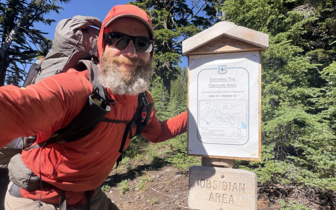
Not long after, I entered the Obsidian Limited Entry Area, one of the most unique sections of the Pacific Crest Trail in Oregon. Thousands of years ago, eruptions from the nearby volcanoes left behind deposits of obsidian, natural volcanic glass that forms when lava cools almost instantly. Pieces of the shiny black rock were scattered across the landscape, catching the sunlight as I walked past.
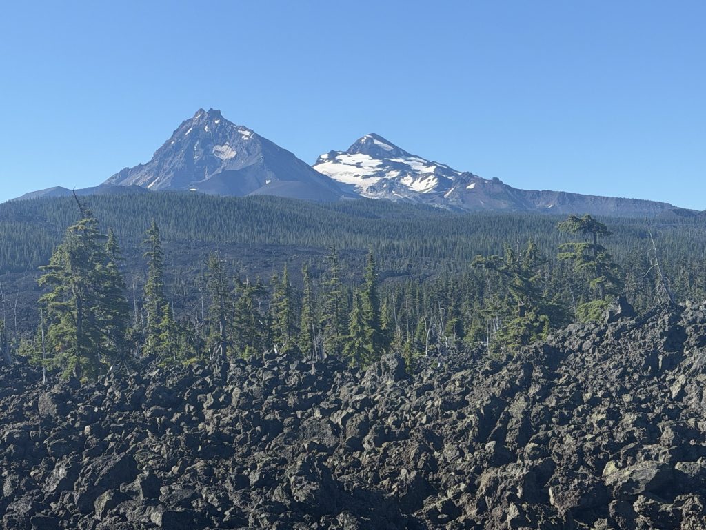
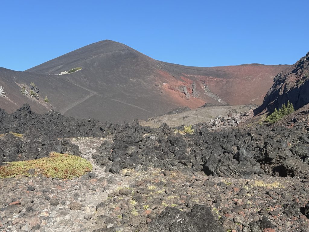
Then, almost as quickly as the obsidian appeared, the landscape changed again. The trees gave way to sprawling lava fields where ancient flows had hardened into endless stretches of jagged black rock. It felt like I had stepped onto another planet. After days of hiking through dense forest, the sudden openness, volcanic terrain, and constant views of the Three Sisters made this one of the most memorable sections of Oregon so far.
The day ended with an unexpected climb up volcanic rock to 7000 ft. I was exhausted and ready for the day to be over. Here the wind was howling and there wasn’t a great place to set up my tent anyways so I kept on going. I started descending and entered the Minnie Scott Spring special area where I finally found a decent place to set up for the night.