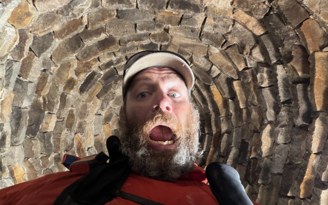
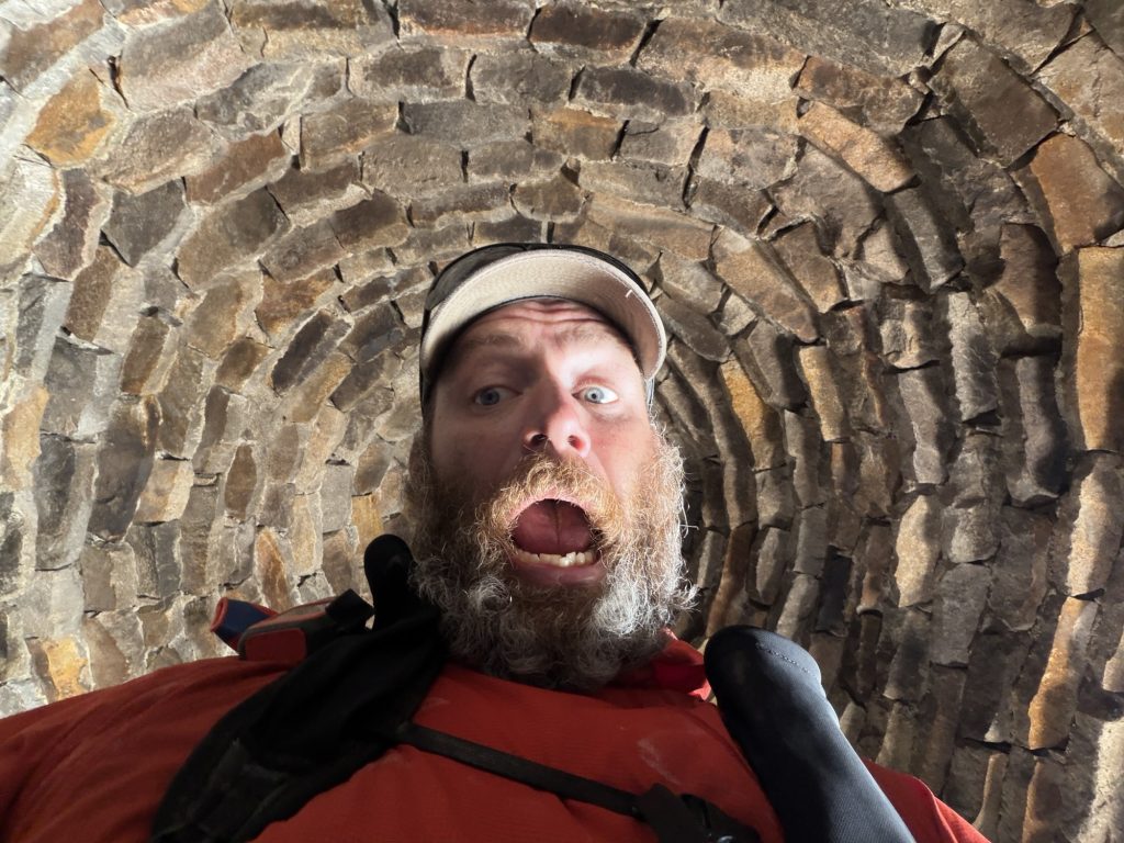
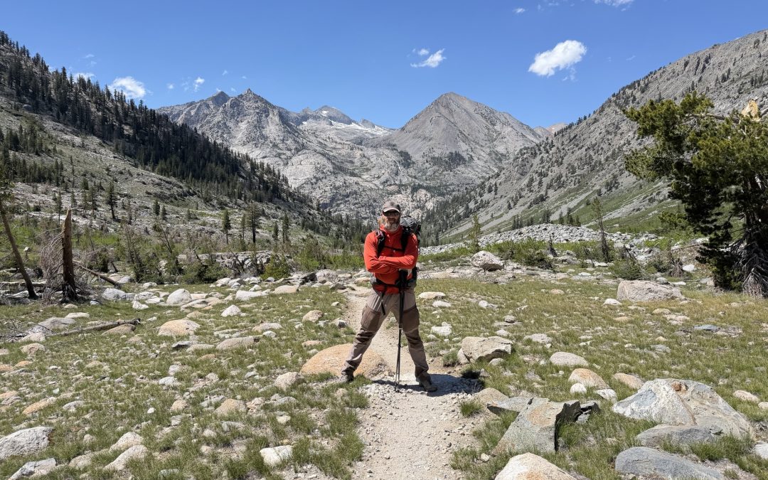
Today was a no mountain pass day. To celebrate what should be an easier day we slept in again and didn’t start on trail until 0700 hrs. Unlike yesterday we didn’t pay dearly for the extra sleep.
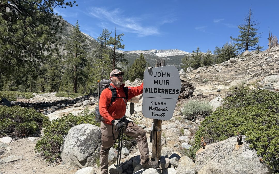
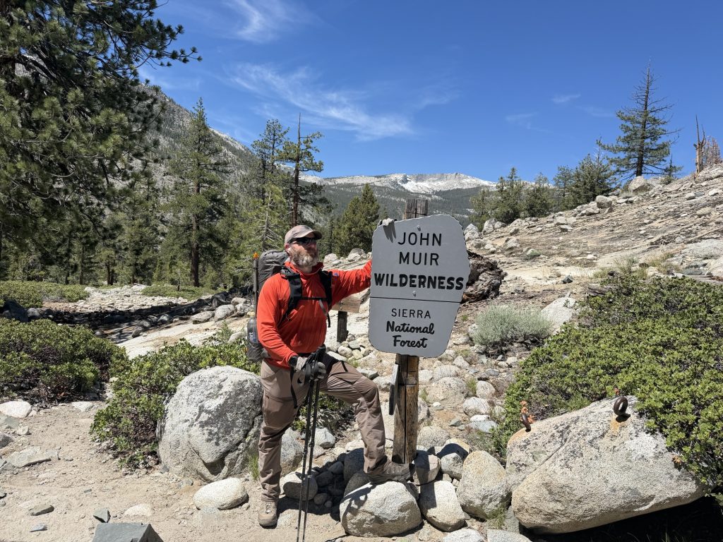
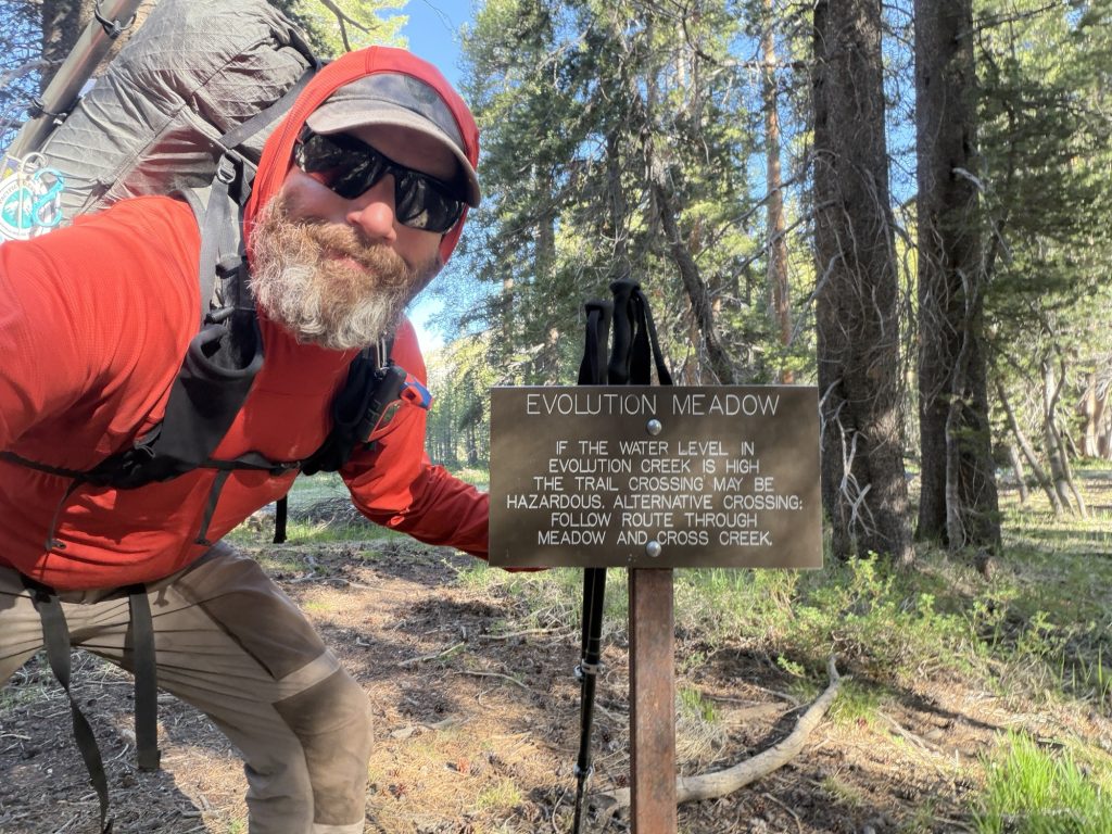
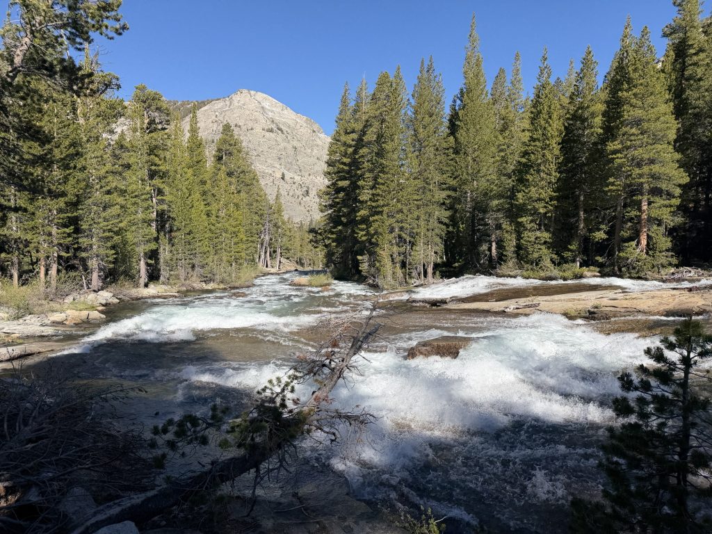
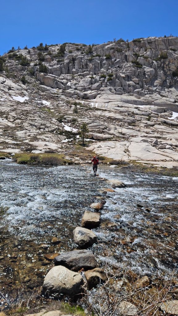
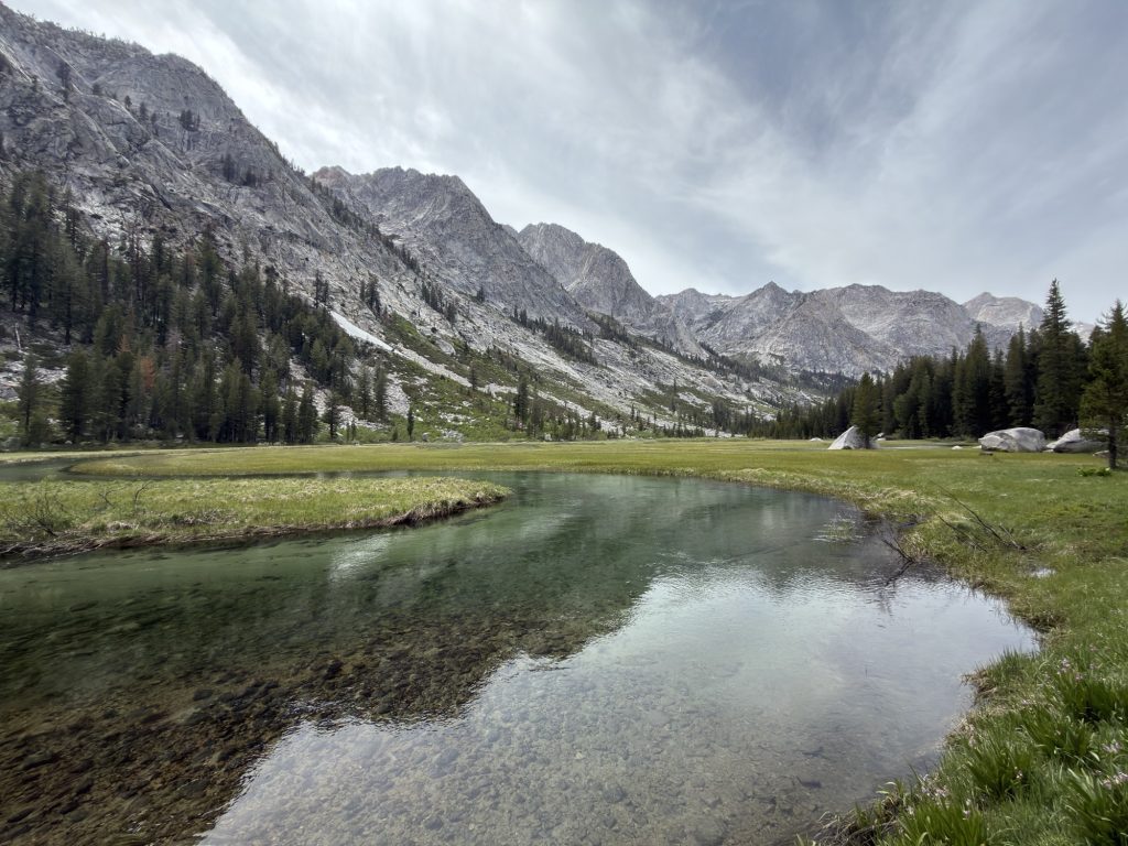
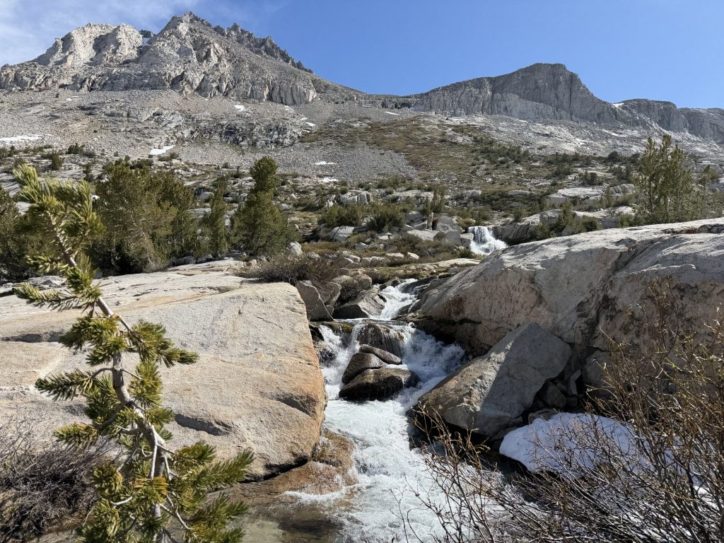
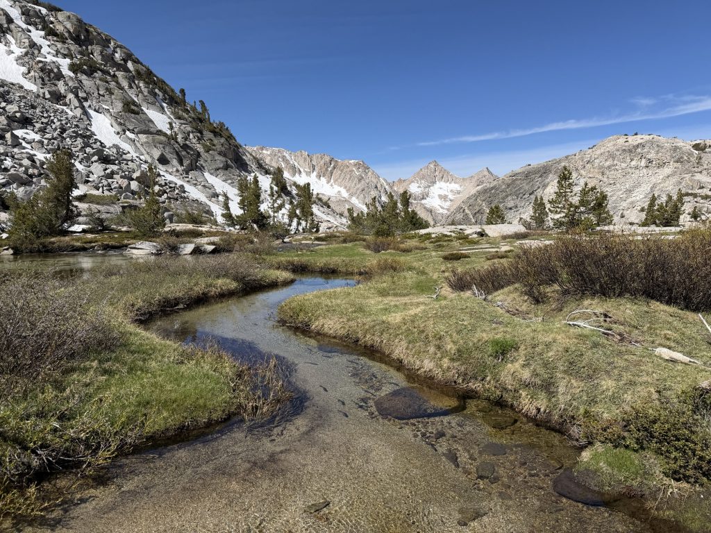
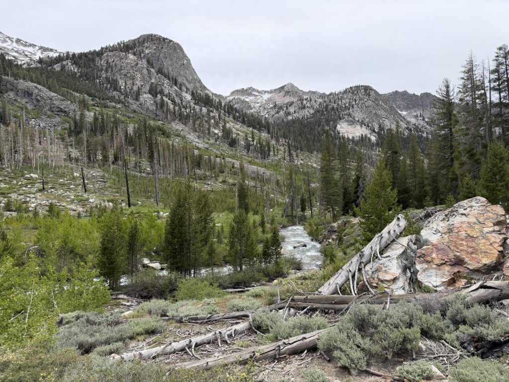
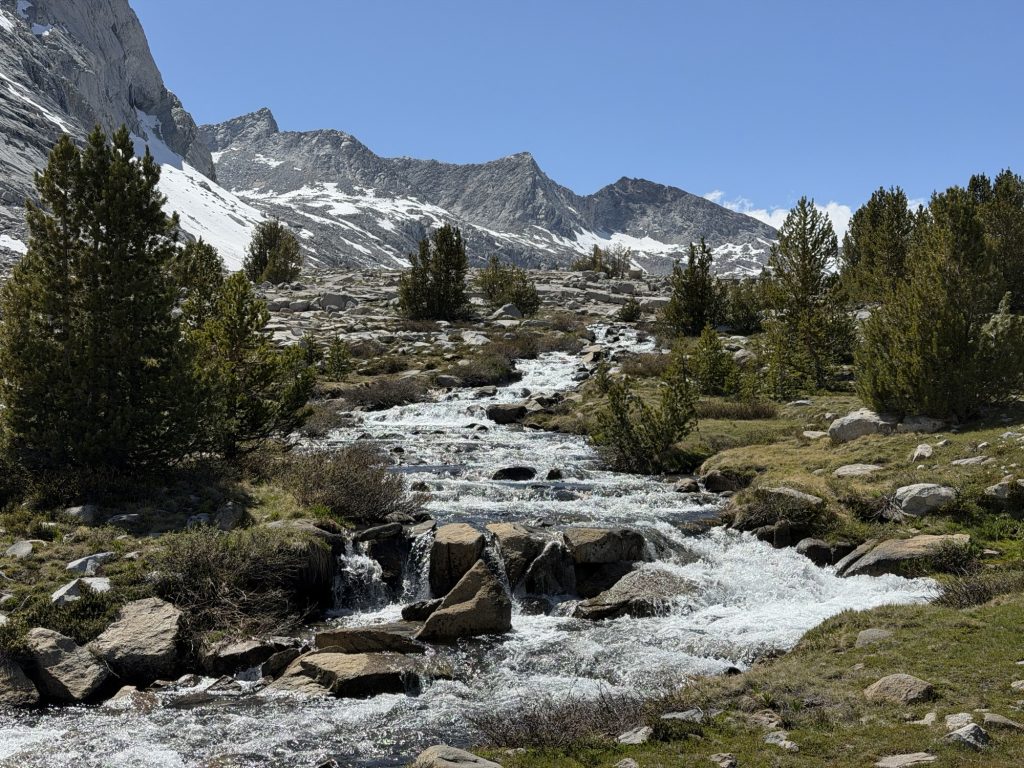
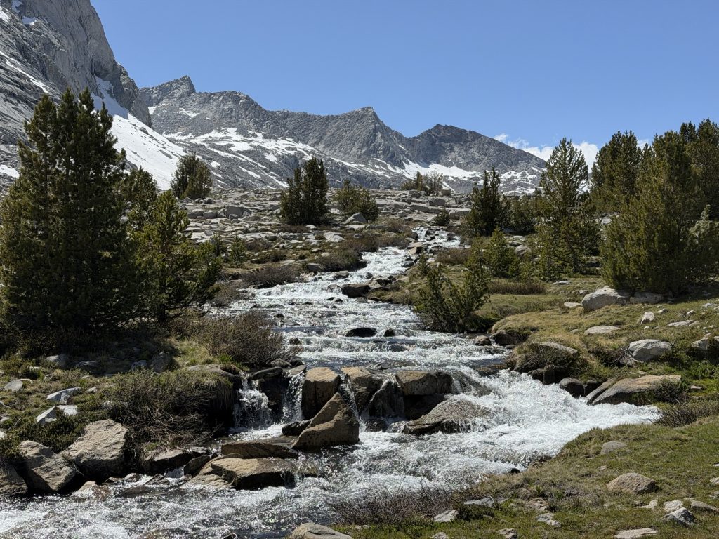
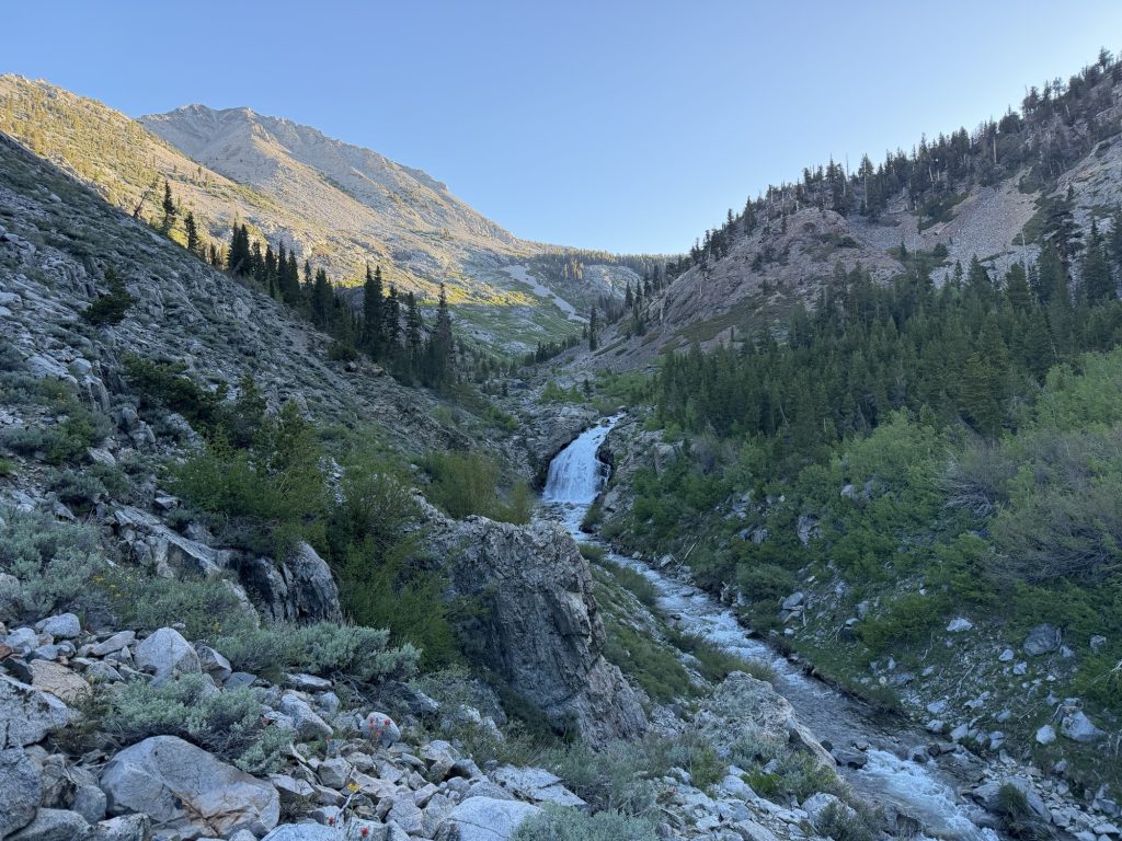
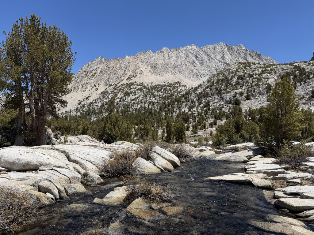
A few miles into our day came the biggest obstacle of the day, Evolution Creek. This is one of the more notorious water crossings on the PCT. You have two options on how to cross this creek. 1) at the actual PCT crossing point or 2) at Evolution Meadow alternate route. In high water years it is strongly recommended to cross at the alternate. This year the snow levels are really low But what is around is melting fast due to the unseasonably warm temperatures. High Stakes and I chose to do the alternate while the rest of the group did the PCT crossing.
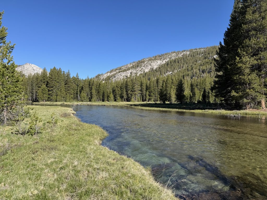
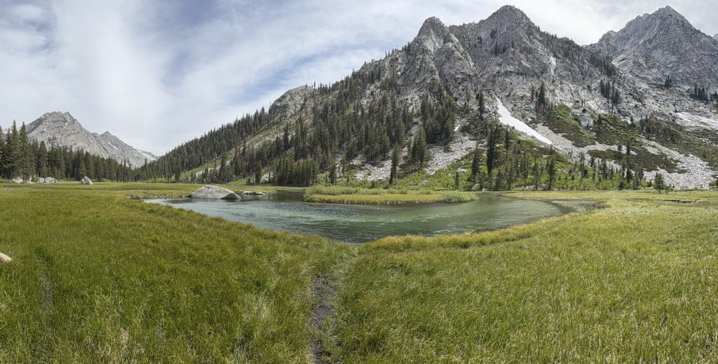
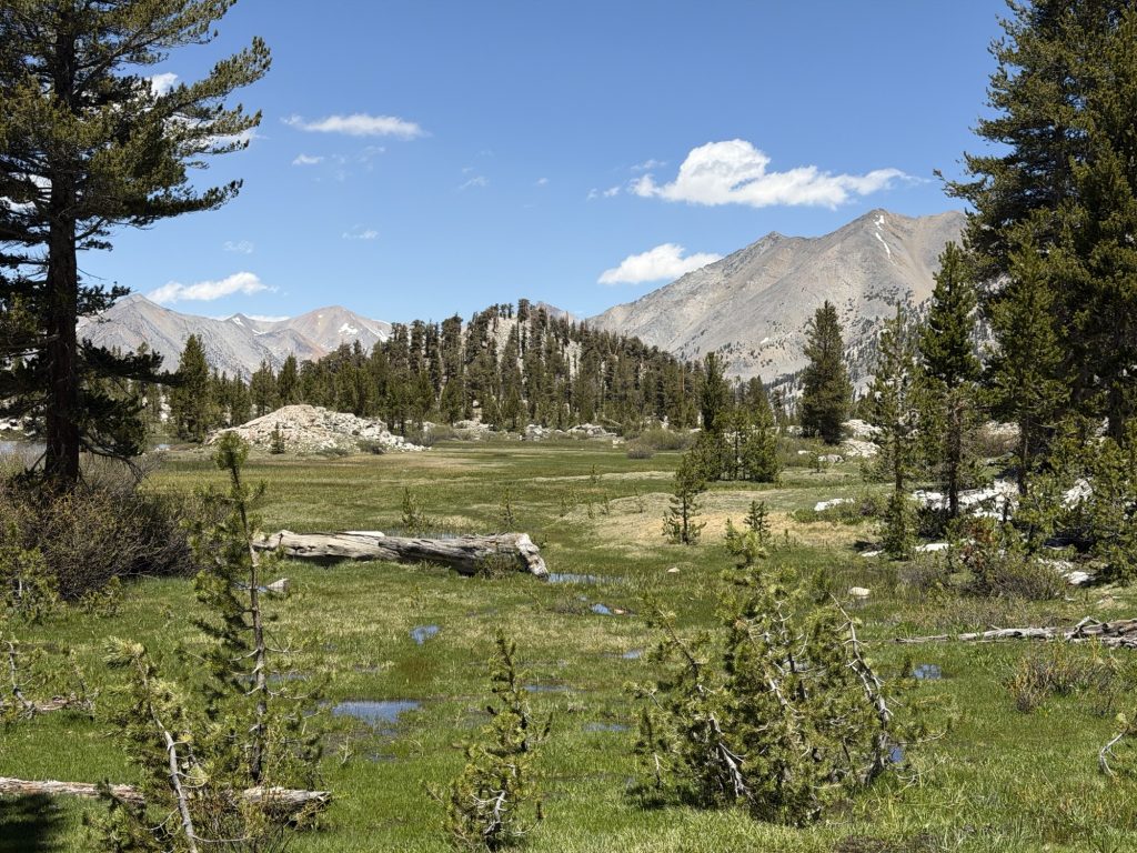
Evolution Meadow was the perfect way to cross this creek in my opinion. It was nice and easy and only knee deep with very little current. It happens that the main crossing wasn’t that bad either. Depending on how you crossed it was either waist deep with little current or knee deep with some current. All that to say this year this crossing is not a concern.
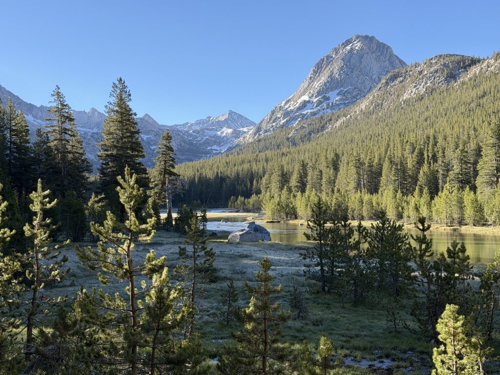
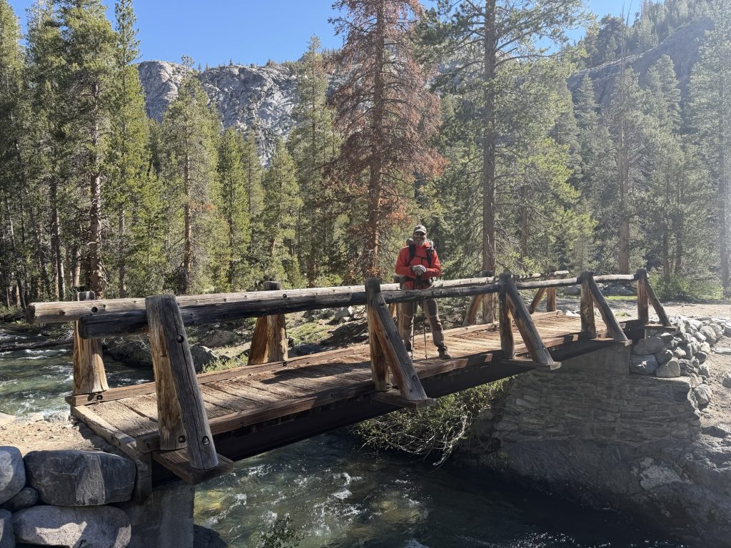
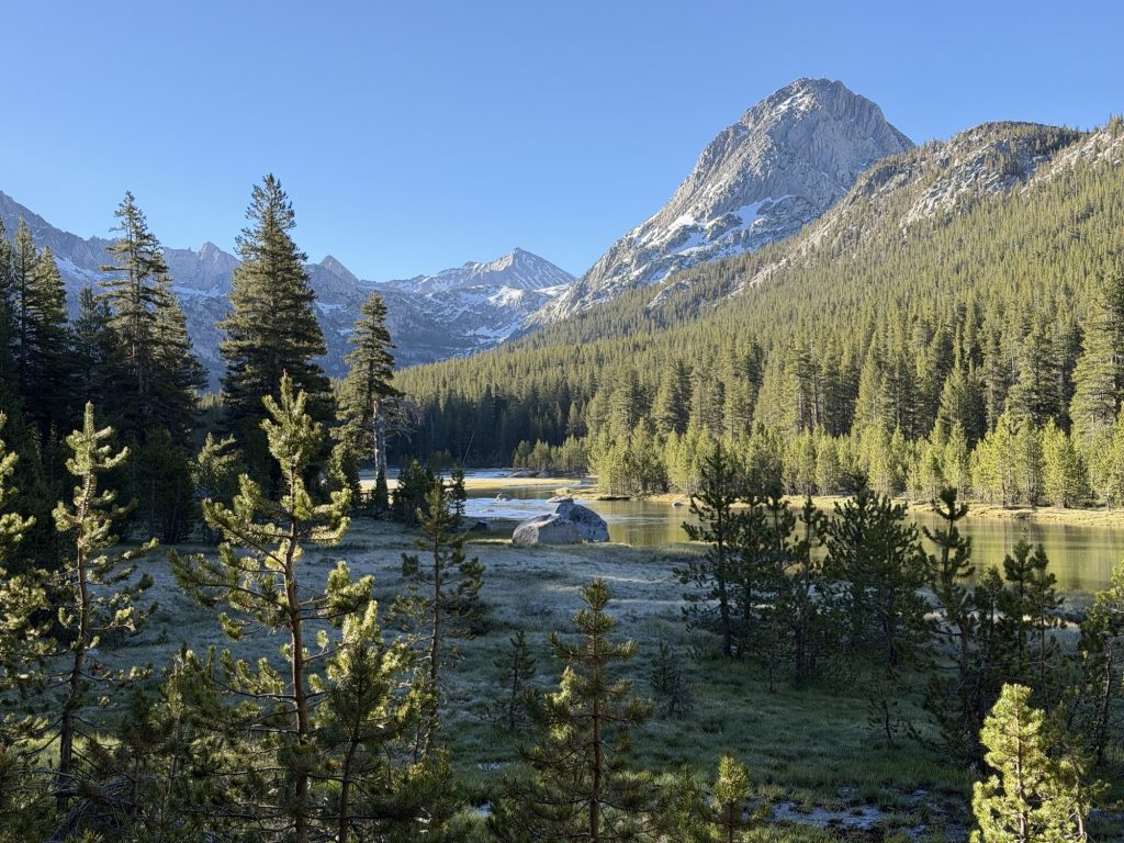
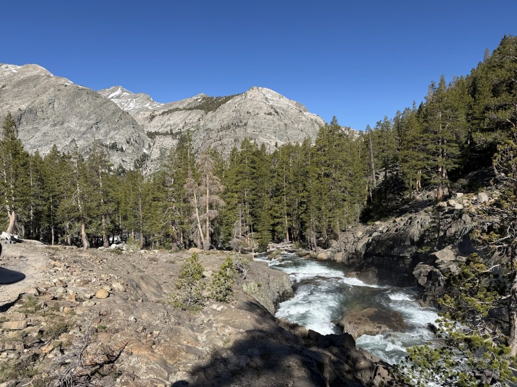
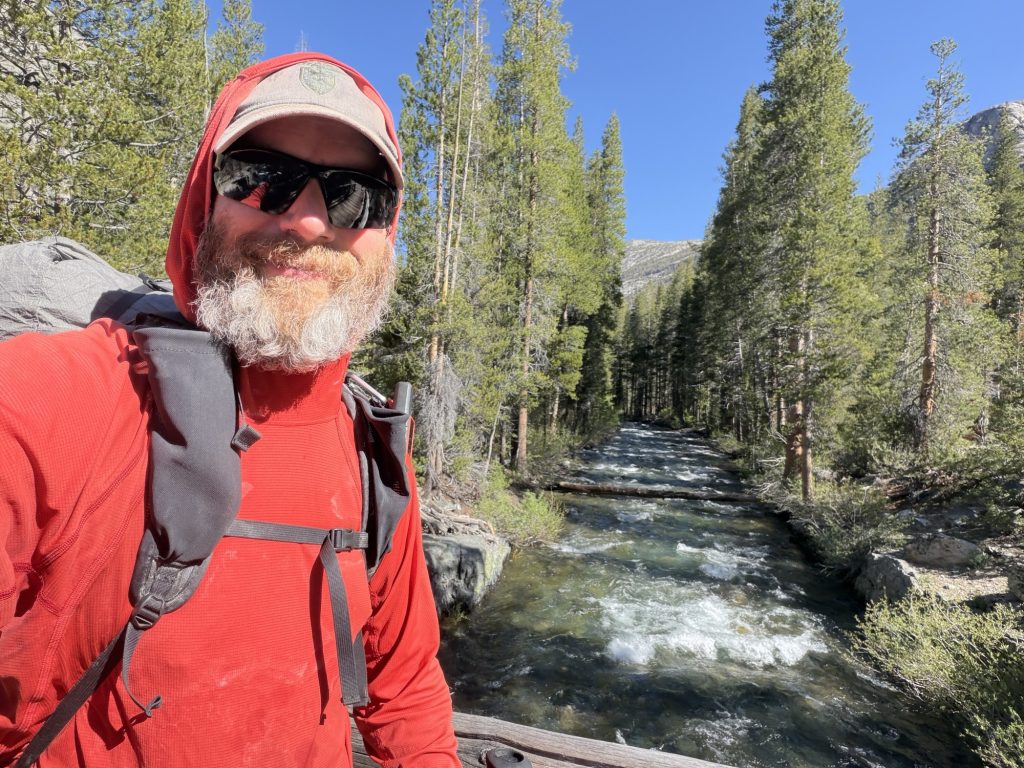
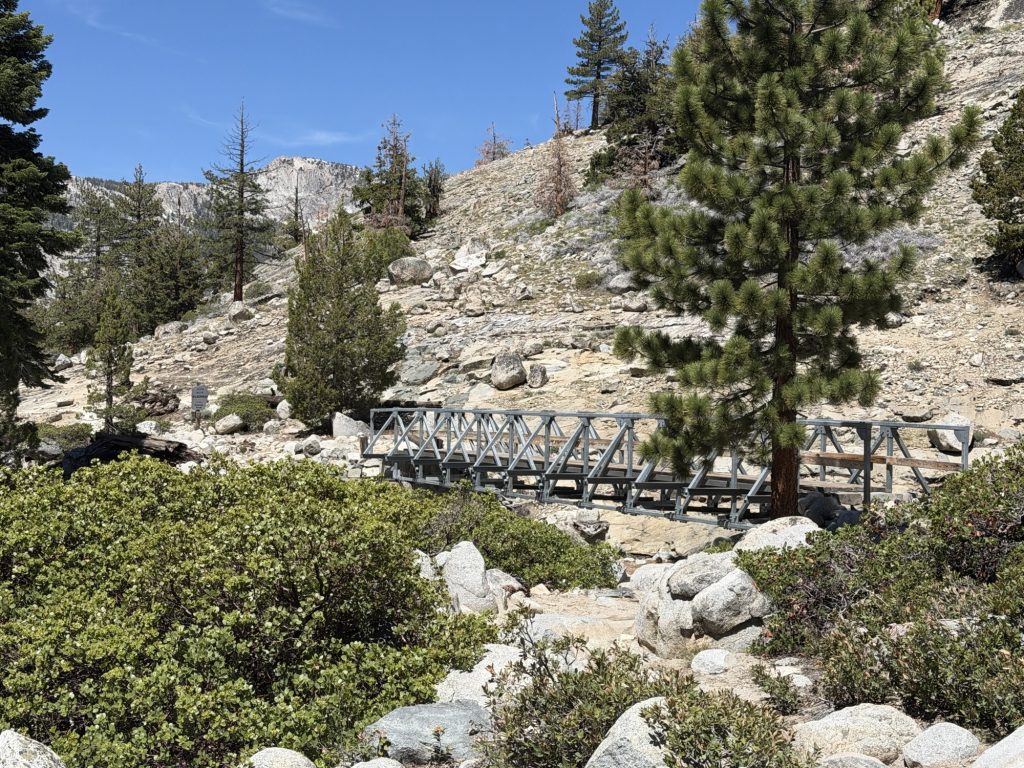
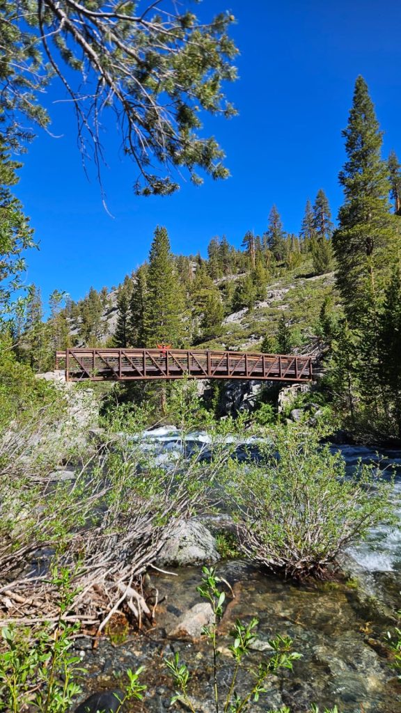
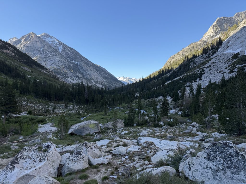
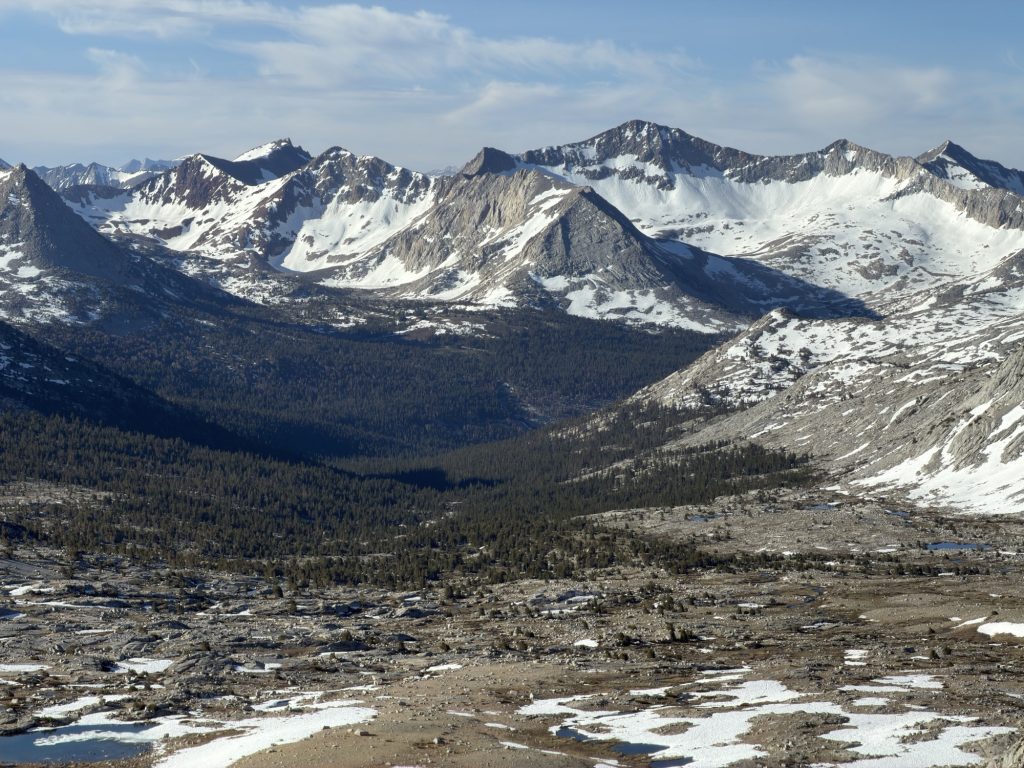
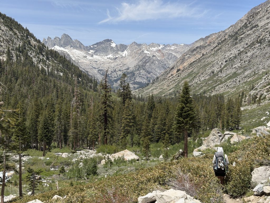
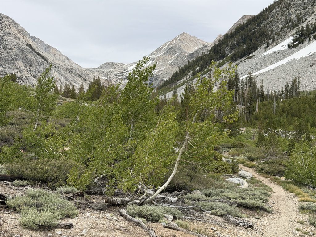
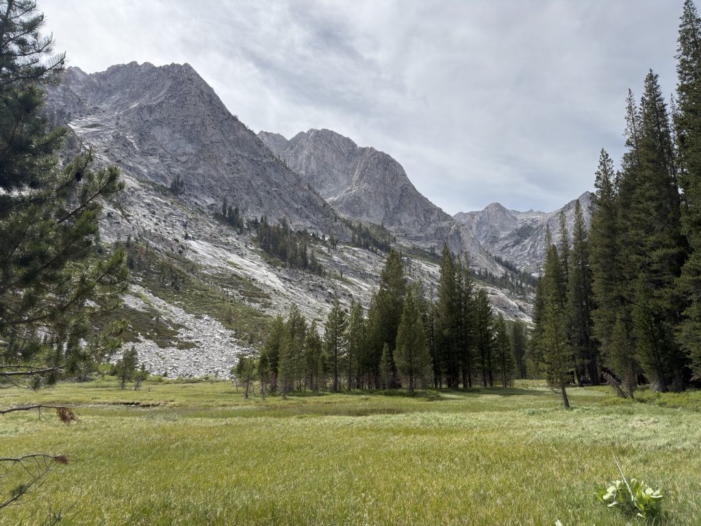
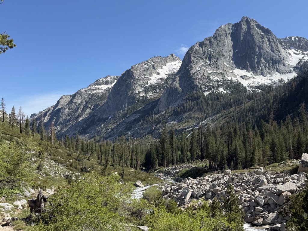
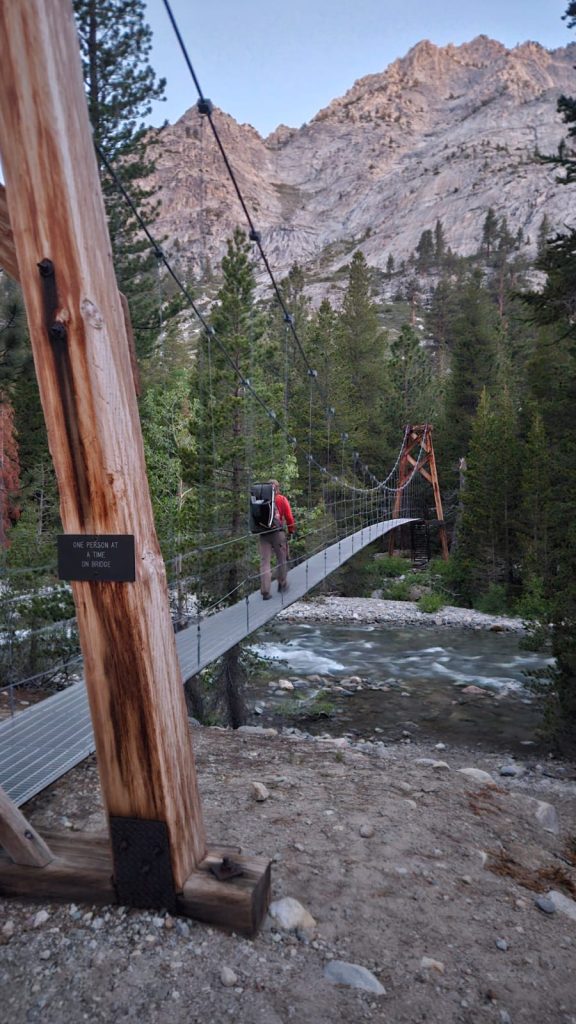
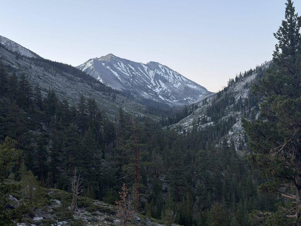
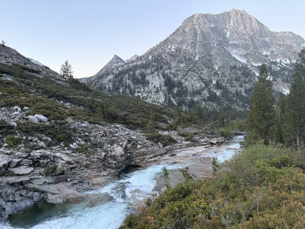
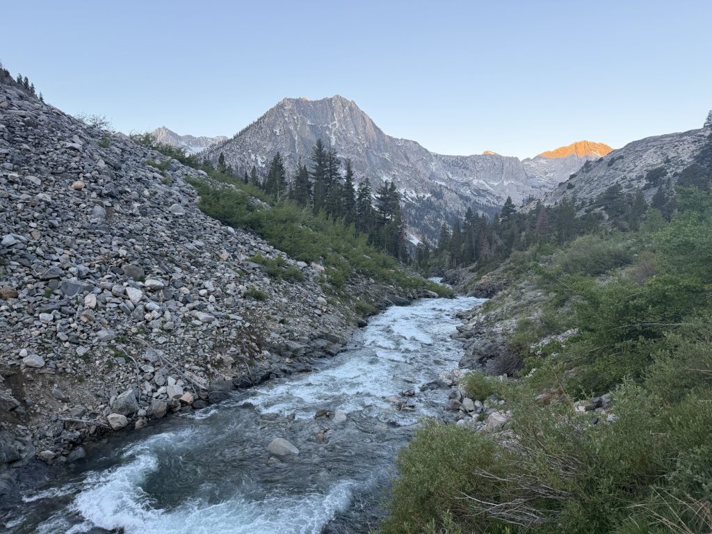
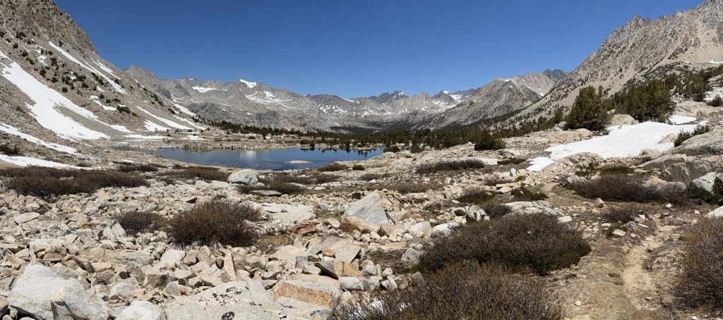
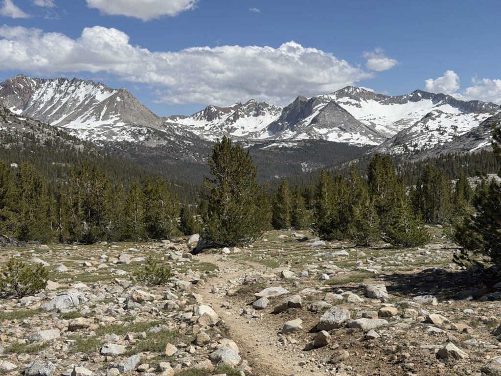
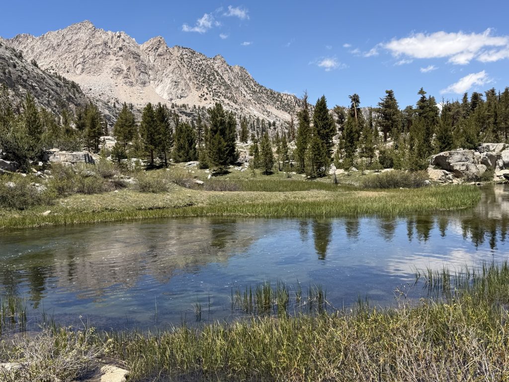
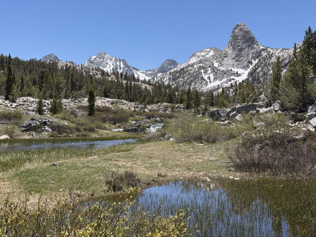
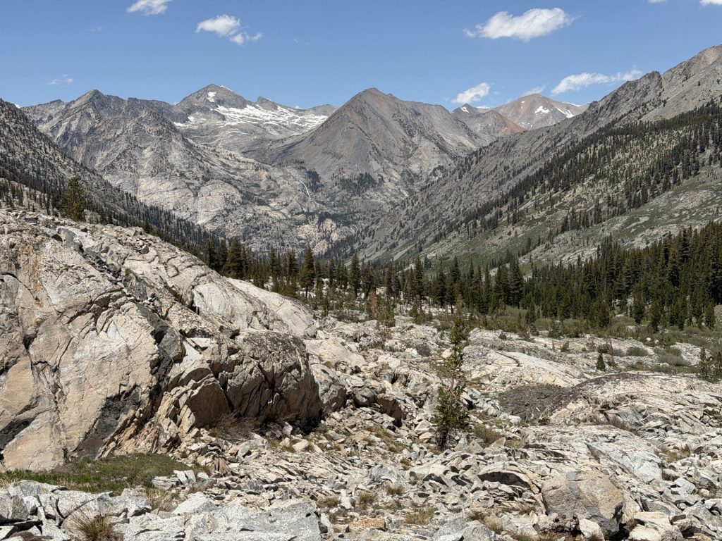
Over all the morning was really nice. Once you make your way down to the valley you have multiple miles of almost flat hiking. It was nice to be moving fast and coming to the realization that once I’m out of the Sierra I will be able to move fast regularly. Through the valley the trail follows the South Fork of the San Joaquin River and crosses it three times on bridges. I’m very glad there are bridges here. In 2023 one of the bridges was destroyed in the record snow year. This resulted in a long bypass. In 2024 people tried to cross the river without the bridge and several were swept down river (no serious injuries that I know of.)
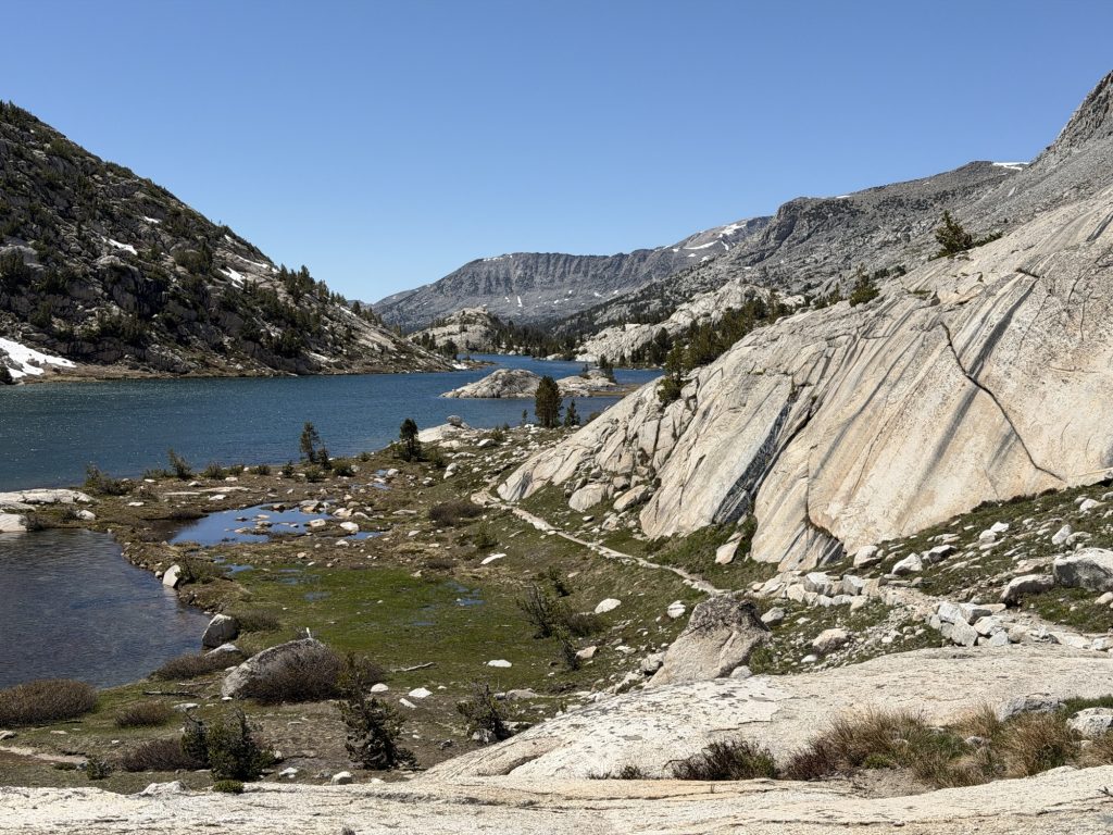
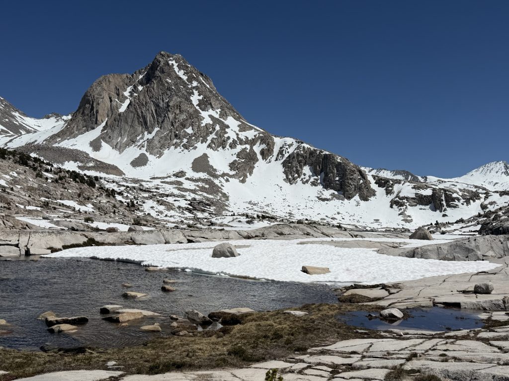
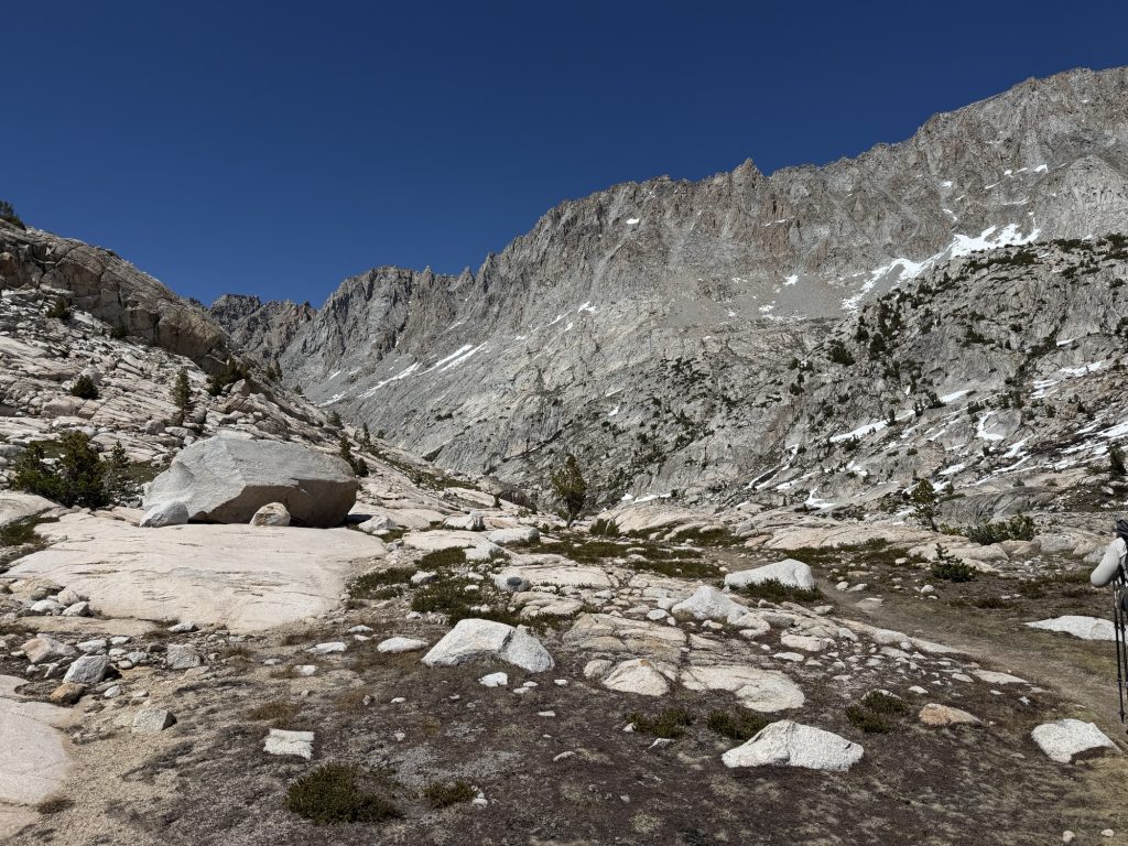
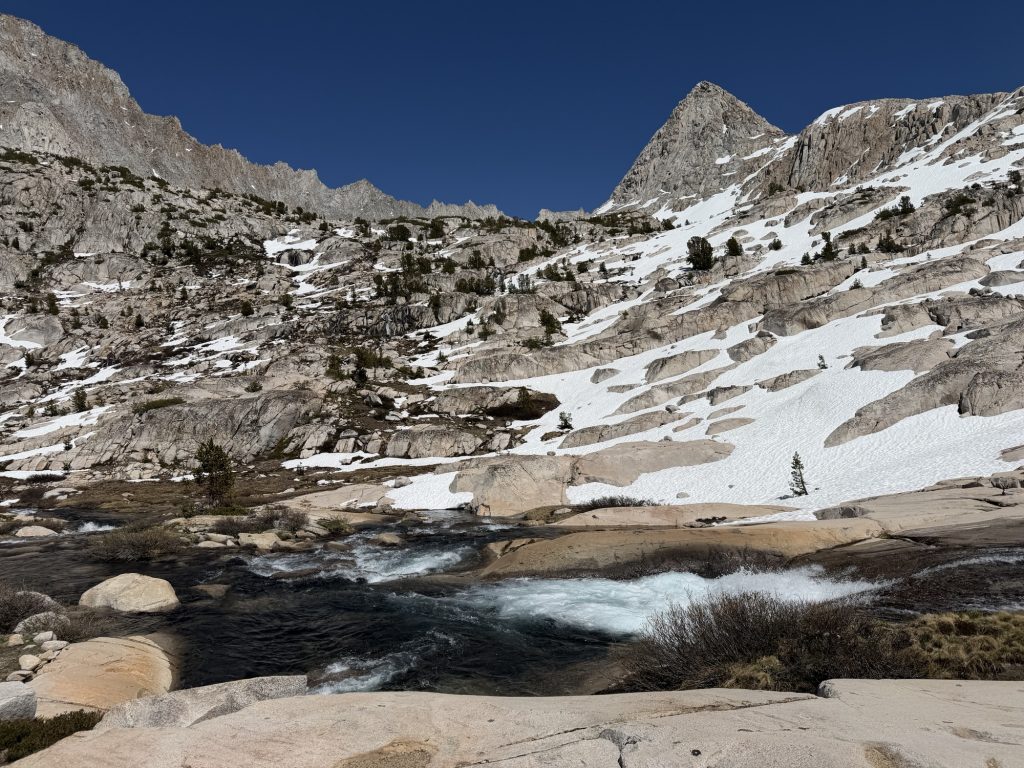
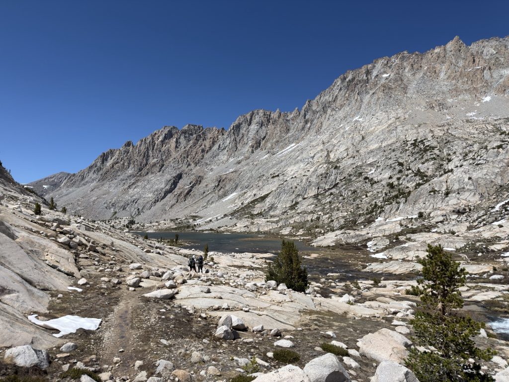
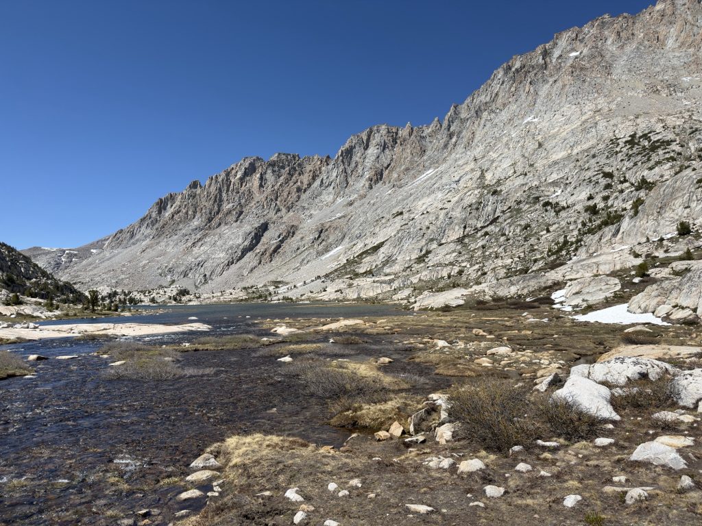
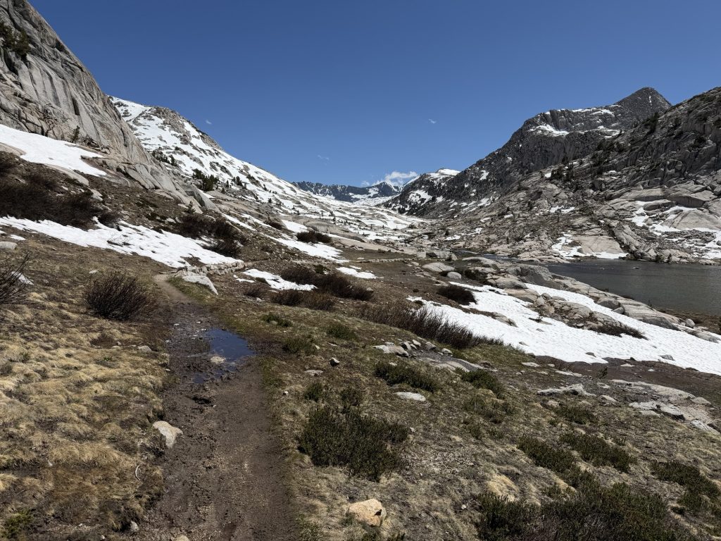
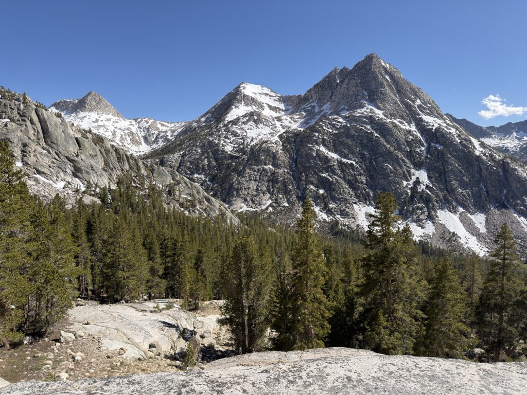
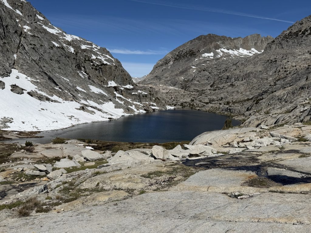
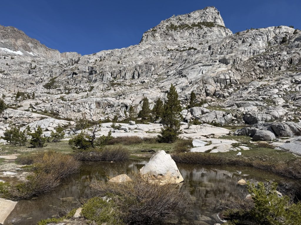
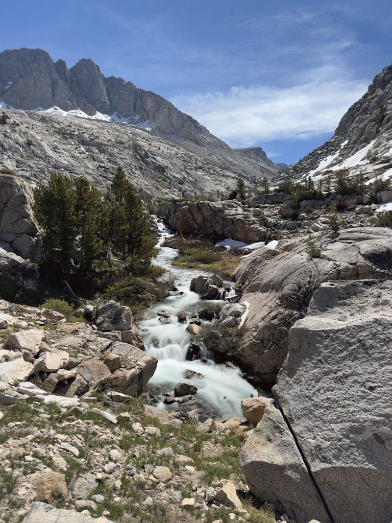
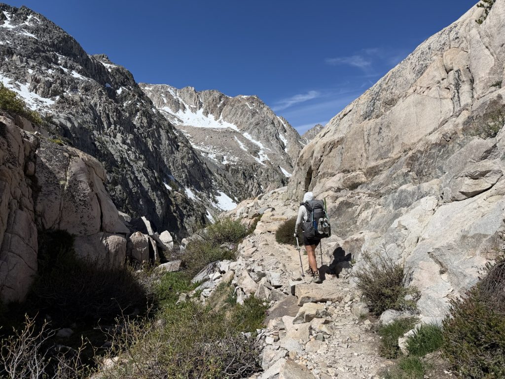
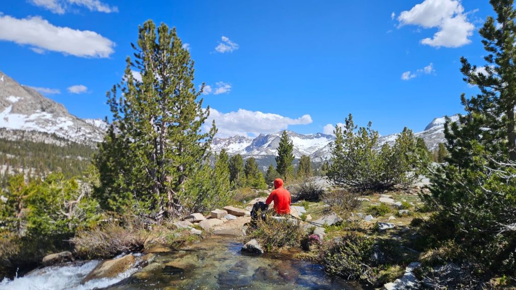
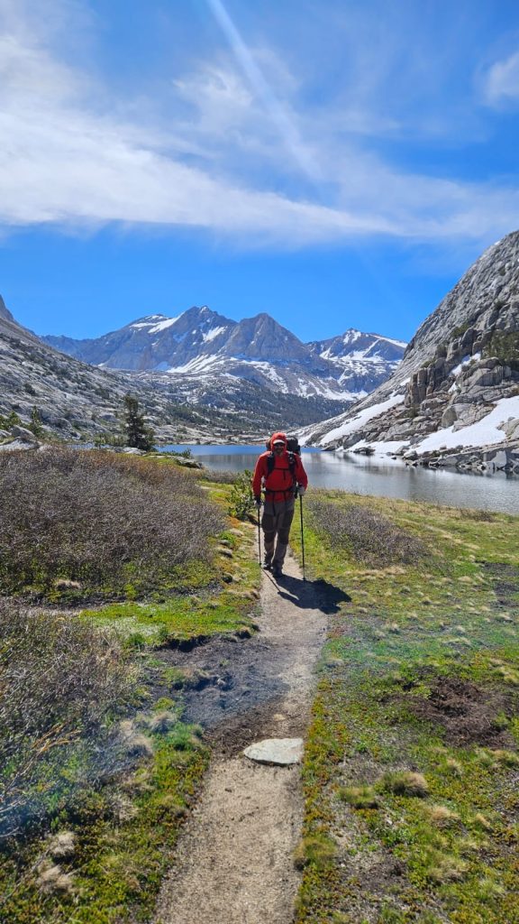
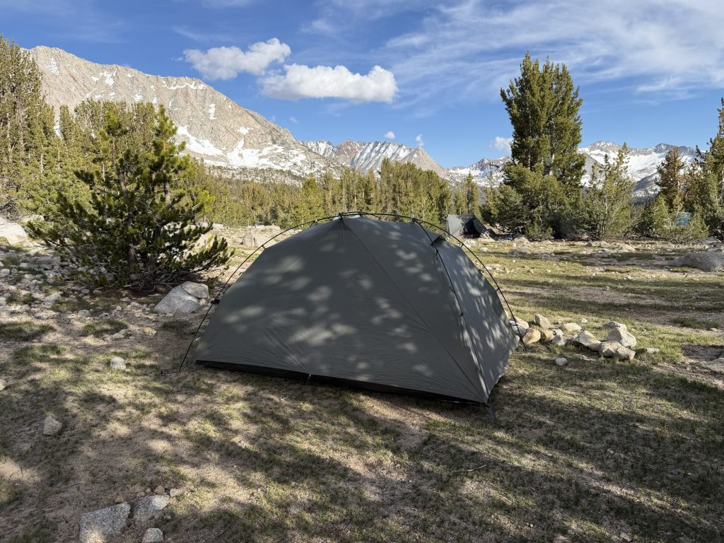
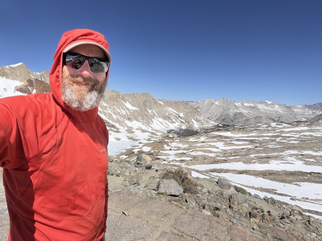
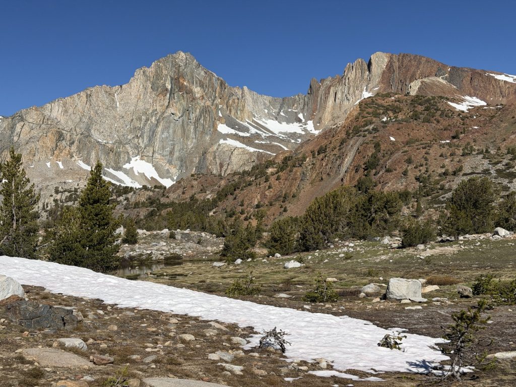
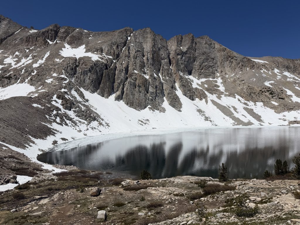
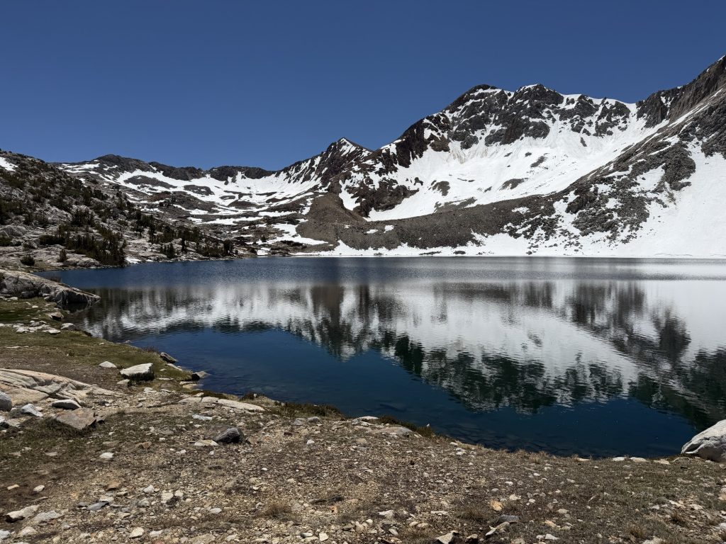
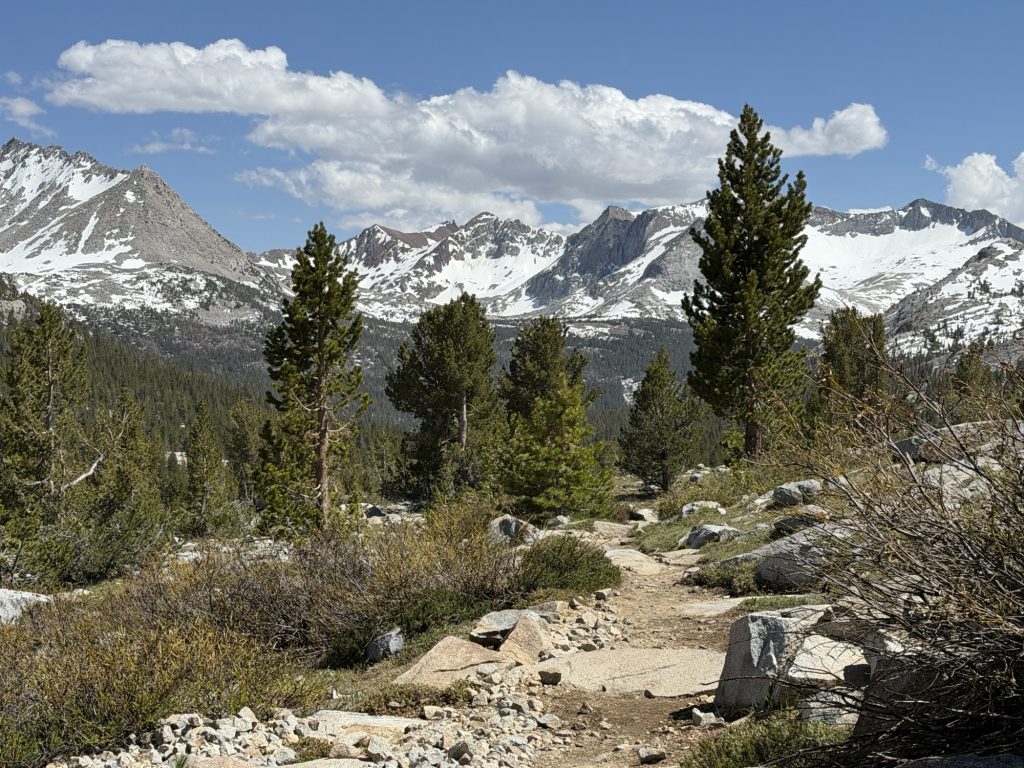
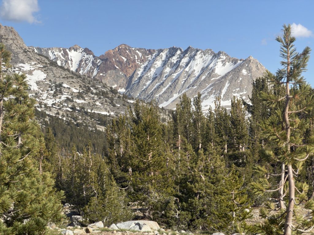
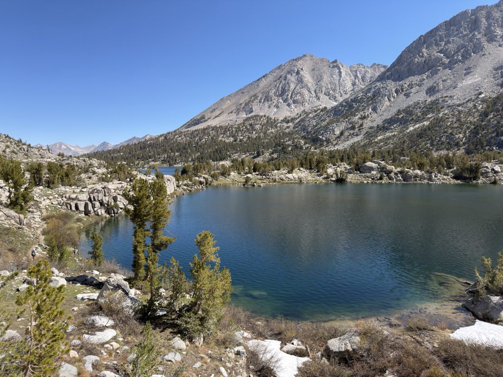
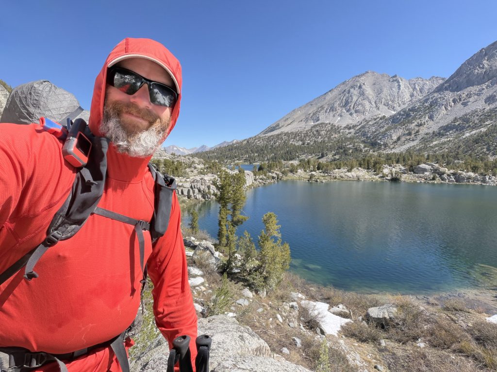
In the afternoon we started our accent towards Selden Pass that we will cross tomorrow. It was 23 degrees and bright blue sunny skies as we made the 2000 ft climb. If it wasn’t for the shade I would have swore I was back in the desert. I took my time hiking from shady spot to shady spot until i reached a creek where the group was taking a break. At least the water is still ice cold!
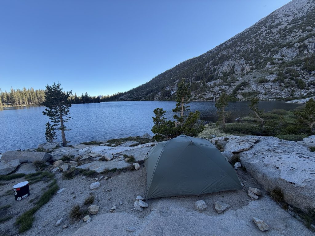
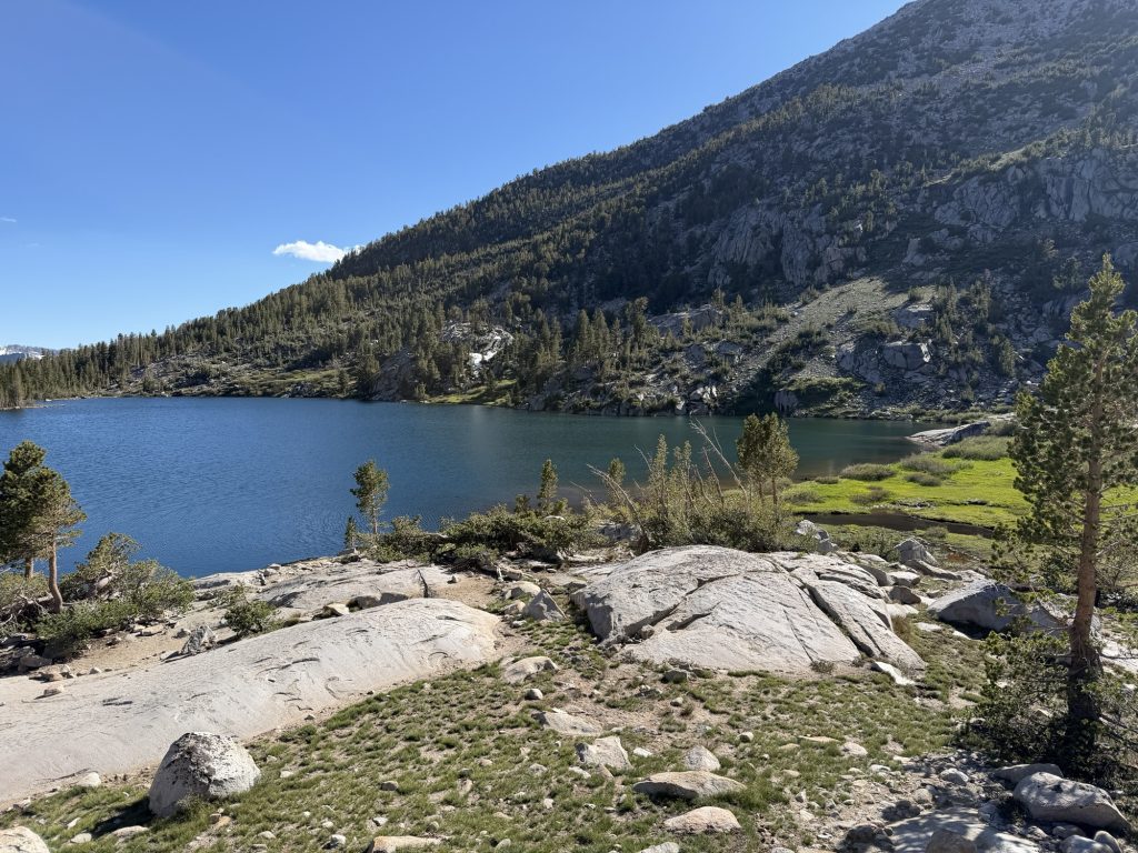
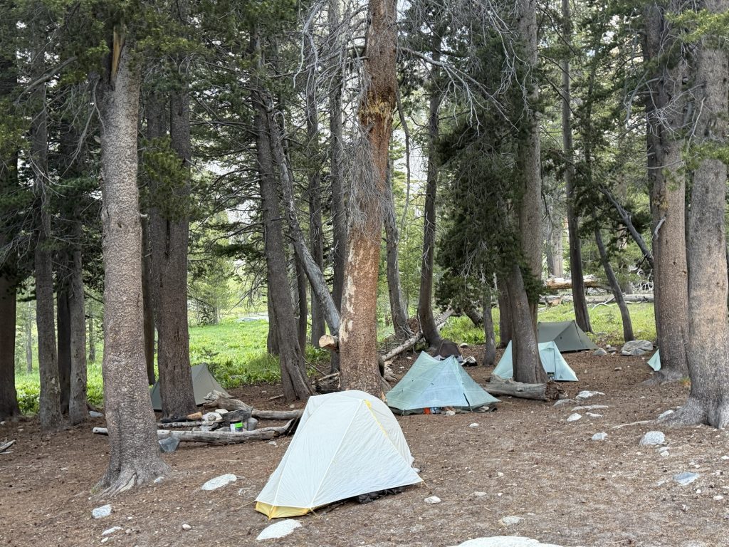
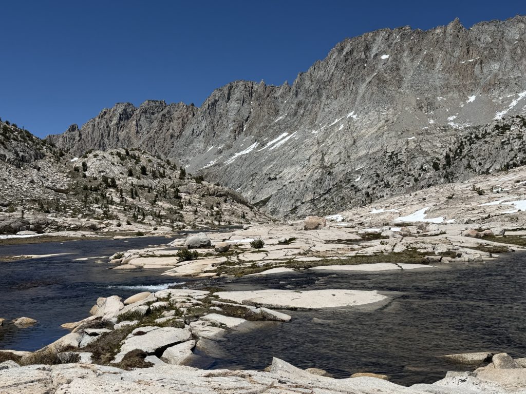
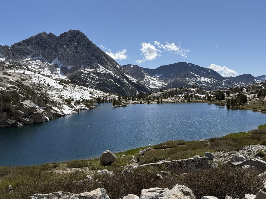
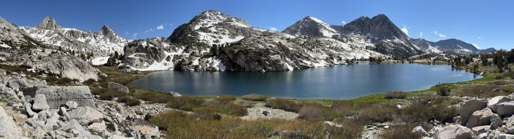
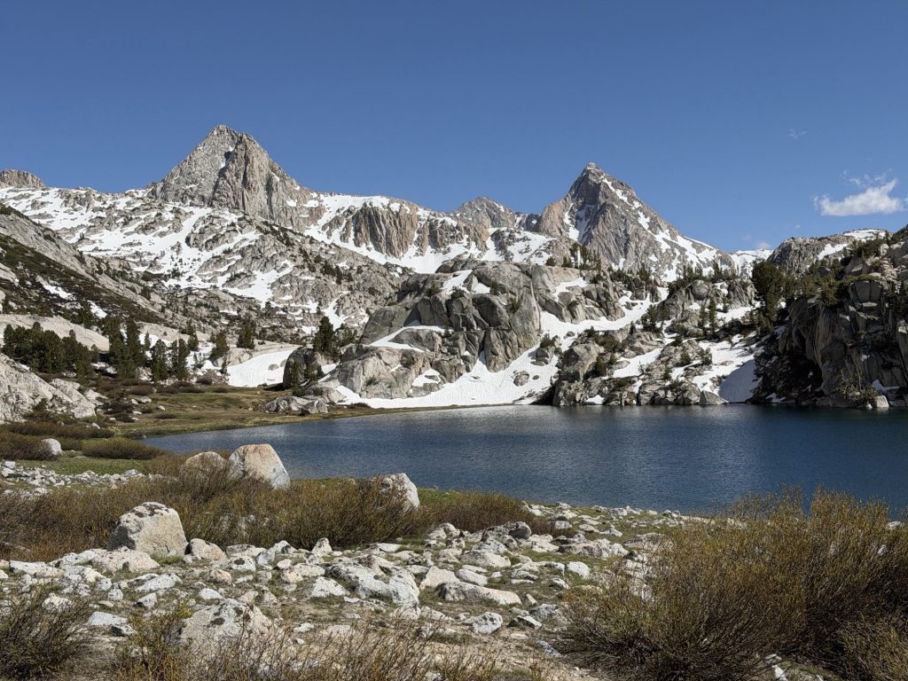
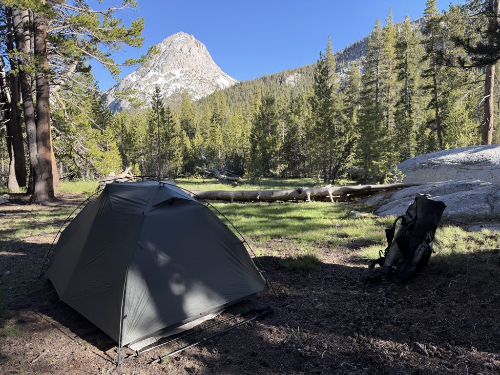
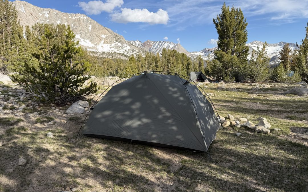
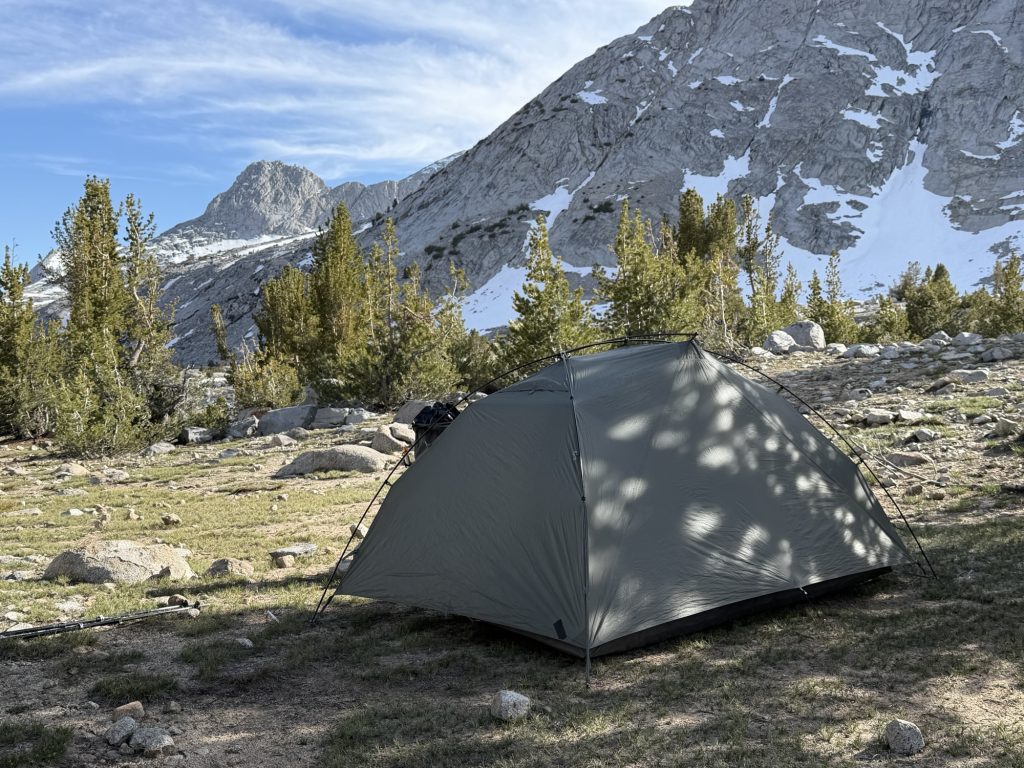
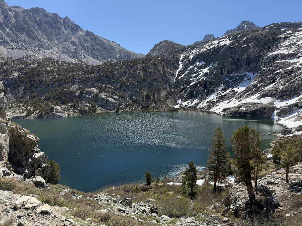
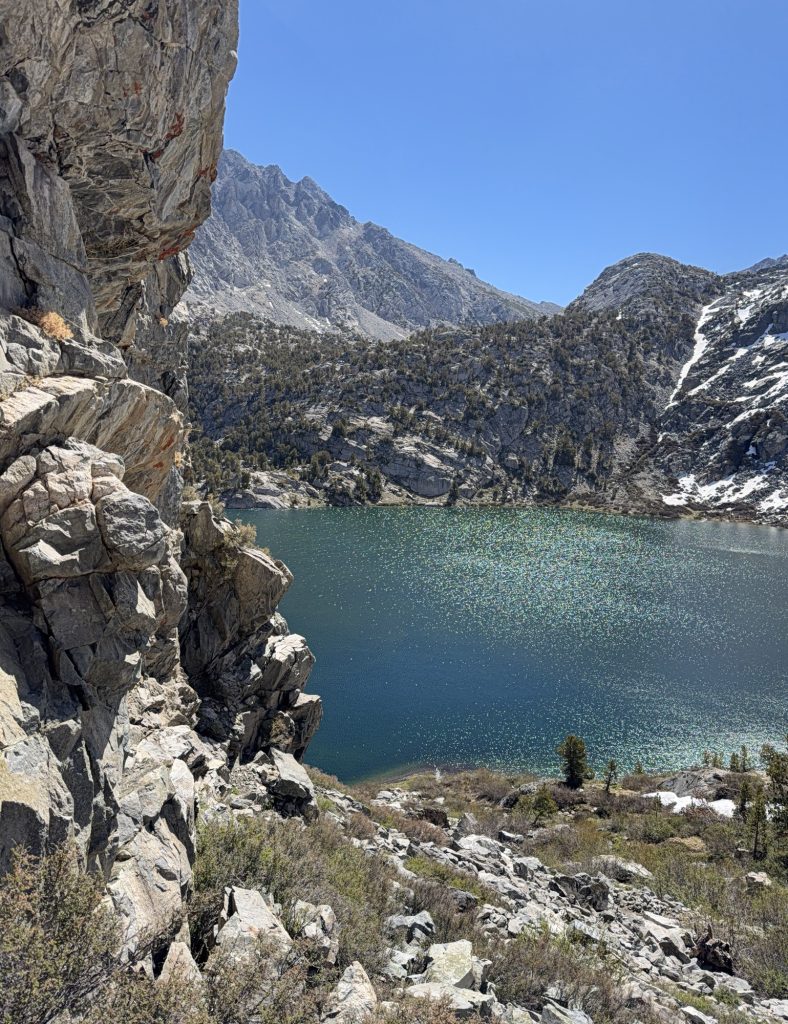
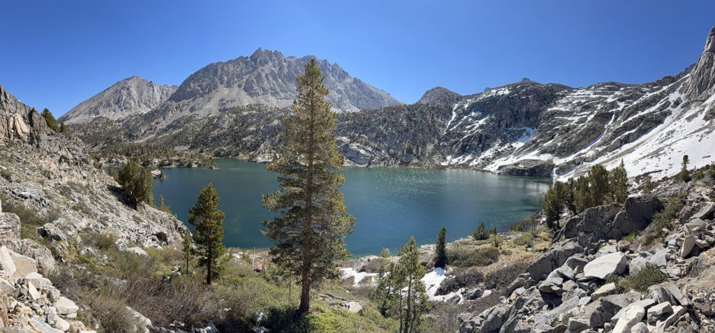
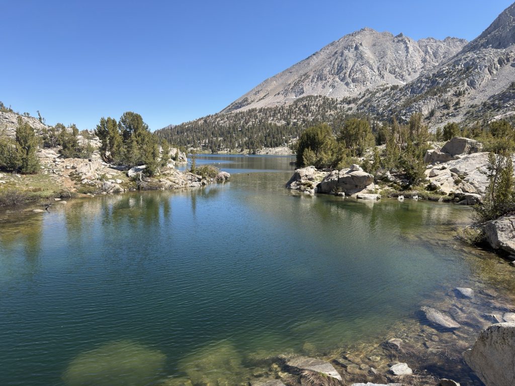
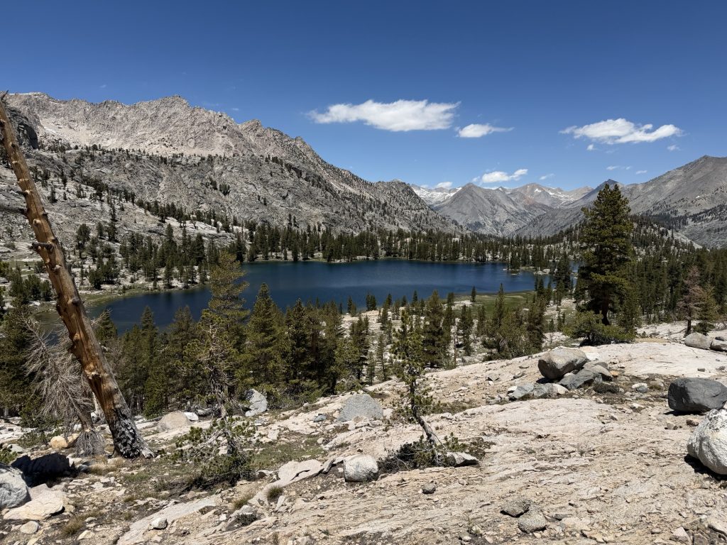
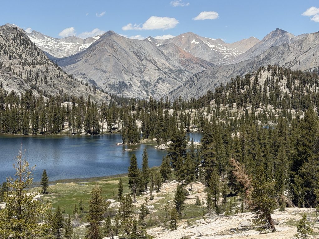
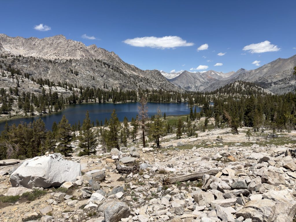
It wasn’t far to our campsite located next to Sallie Keys Lakes and the million mosquitoes that were waiting for us there. I guess mosquito season is arriving in force…. Great.
Today was suppose to be an “easy” day and I guess for the Sierra it was. I’m starting to get more pain in my right ankle, Achilles / posterior chain. The shoes I’m currently wearing don’t have the insoles I normally Hike in so maybe I’ll pick up some in Mammoth. Or maybe it’s the decents that have really been like giant stone stair cases the last few days.
Thankfully my pack is still holding up and it’s replacement has allegedly been shipped so I should get that in Mammoth as well!
PCT Day 66 – Little Pete Meadow (832.8) to PCT mile 848.5
June 9, 2026
Total PCT miles: 15.7
Non PCT miles: 0
Total: 15.7 miles / 25.3 km
Total elevation gain: 4150 ft
Total elevation loss: 3274 ft
Steps: 40028
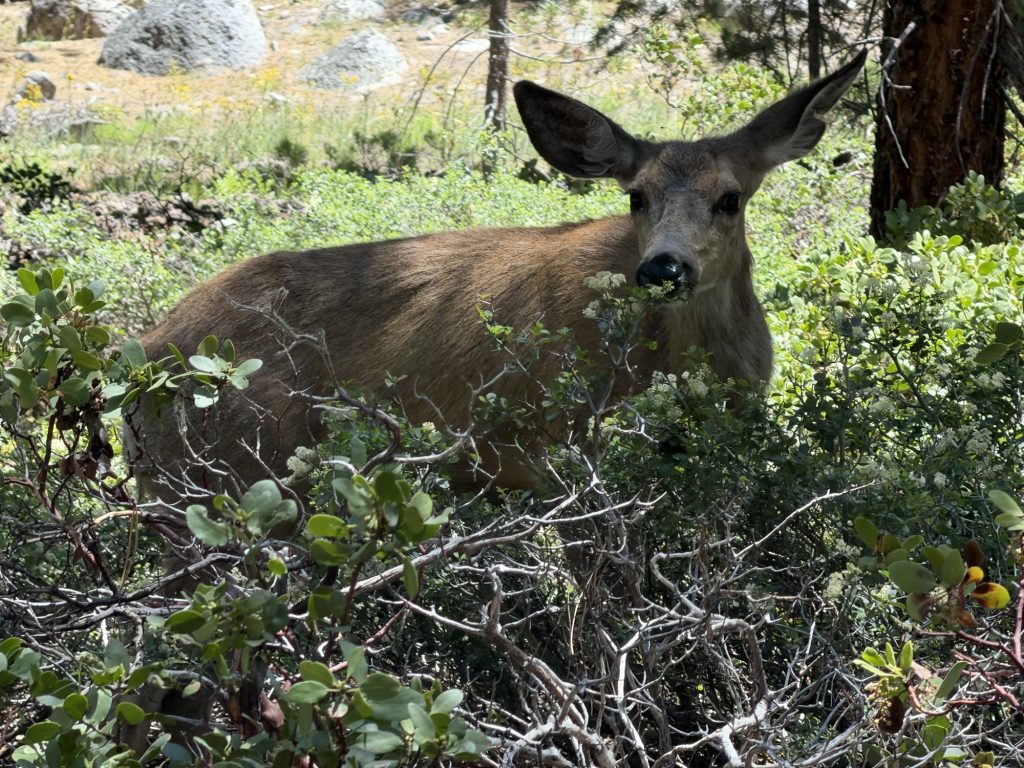
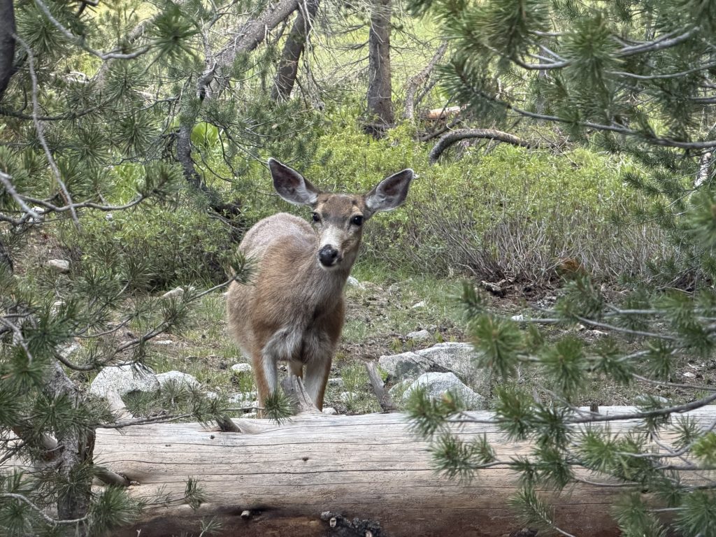
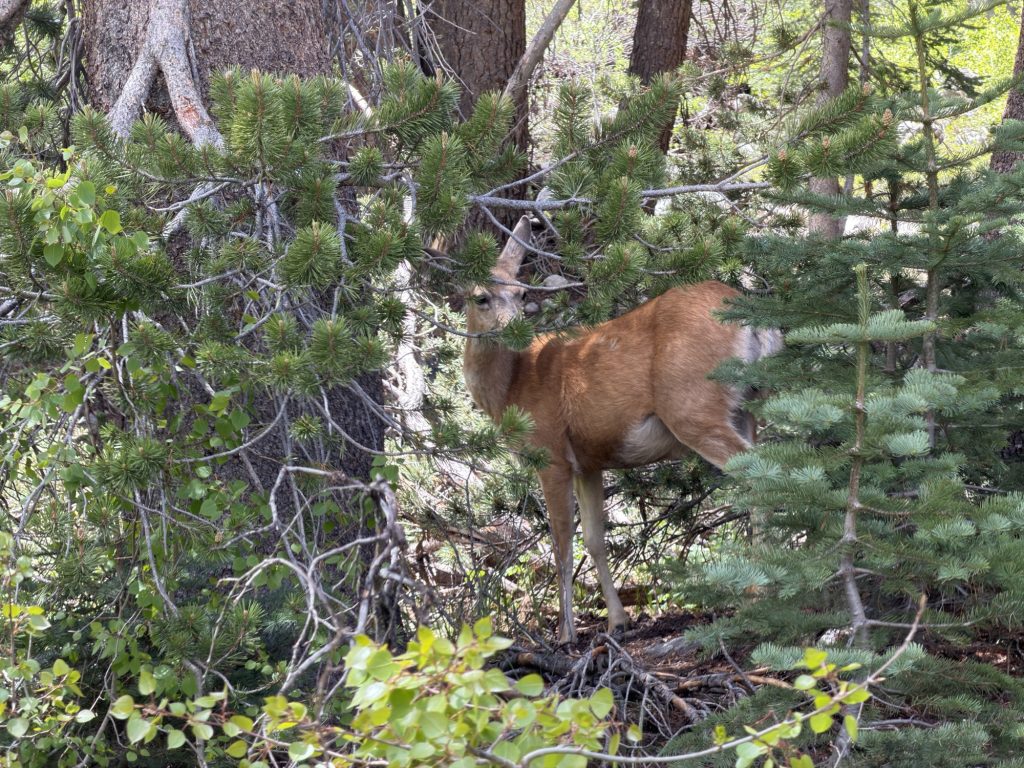
We probably should have left much earlier today but for some reason we decided to “sleep in” and leave at 0700hrs. I won’t lie I really enjoyed the relaxed pace this morning. There wasn’t even any condensation on my tent! Extra bonus! I got to hang out with the deer that were still chilling out near the tents and just take it slow. I noticed that one of the deer was wearing a tracking collar. Wonder what the purpose of that is? It was nice to sleep in but we definitely paid for this decision later in the day.
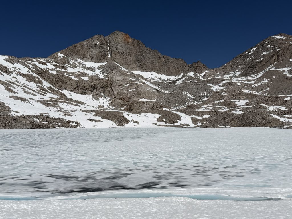
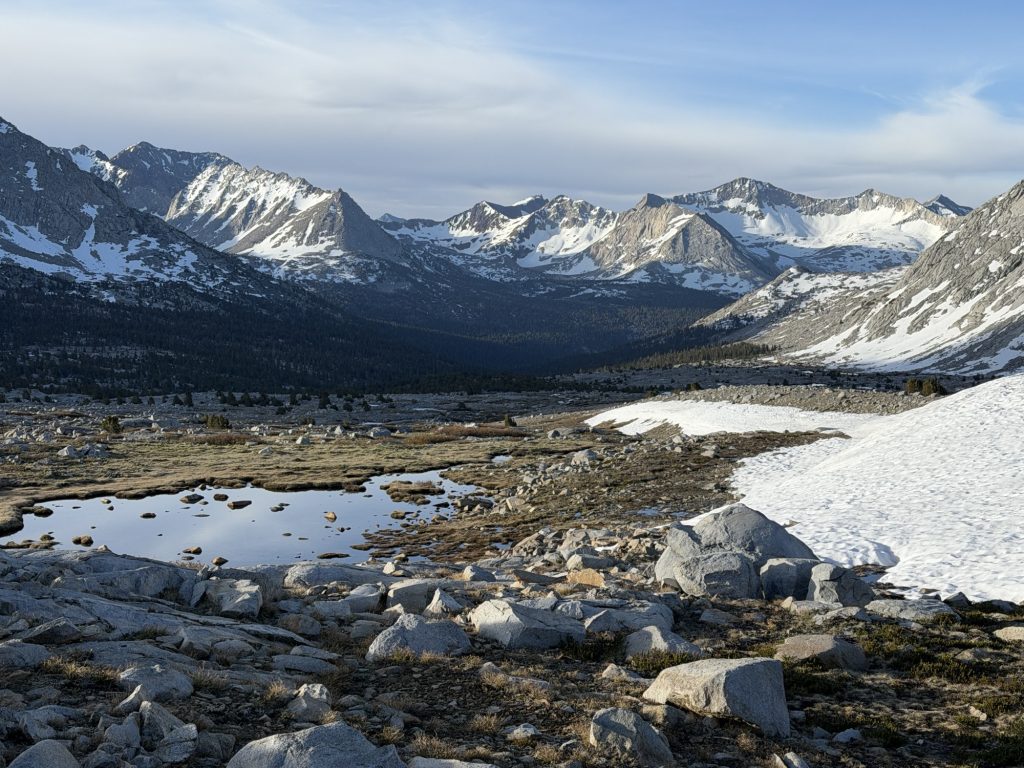
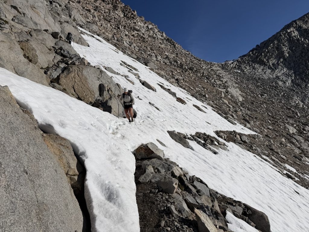
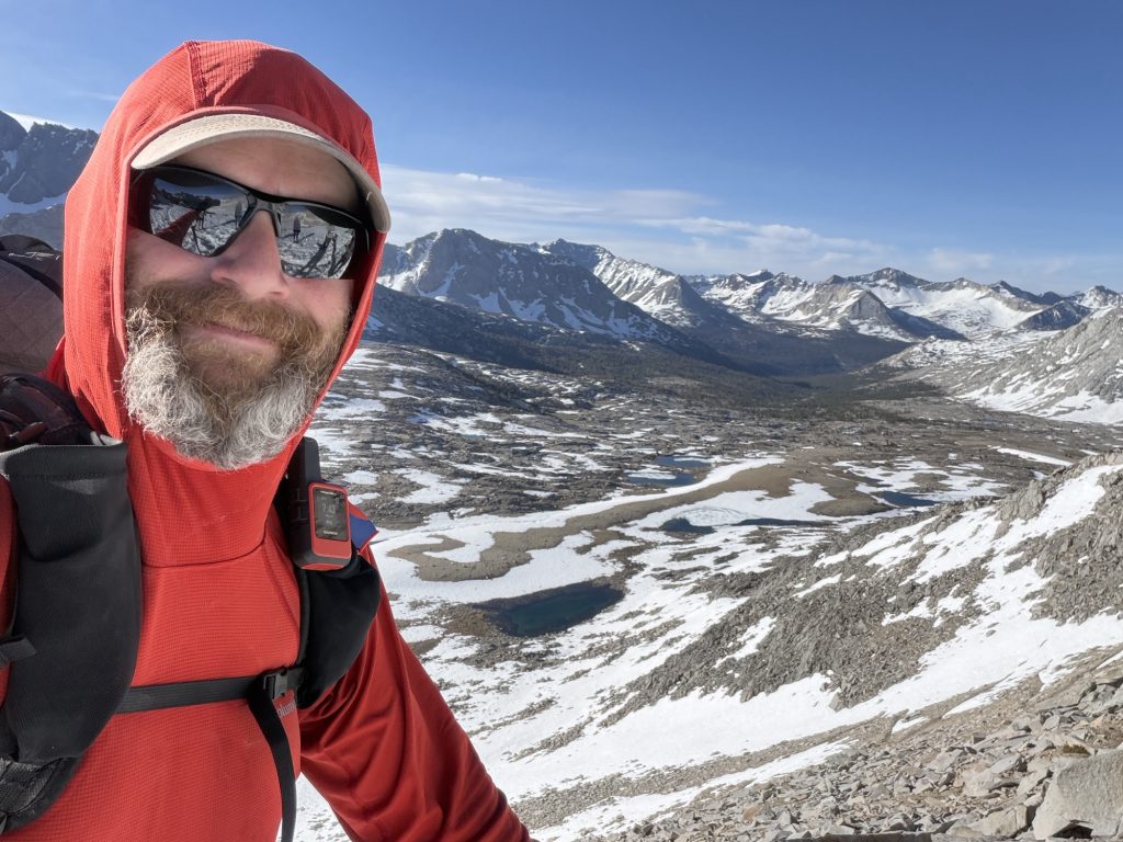
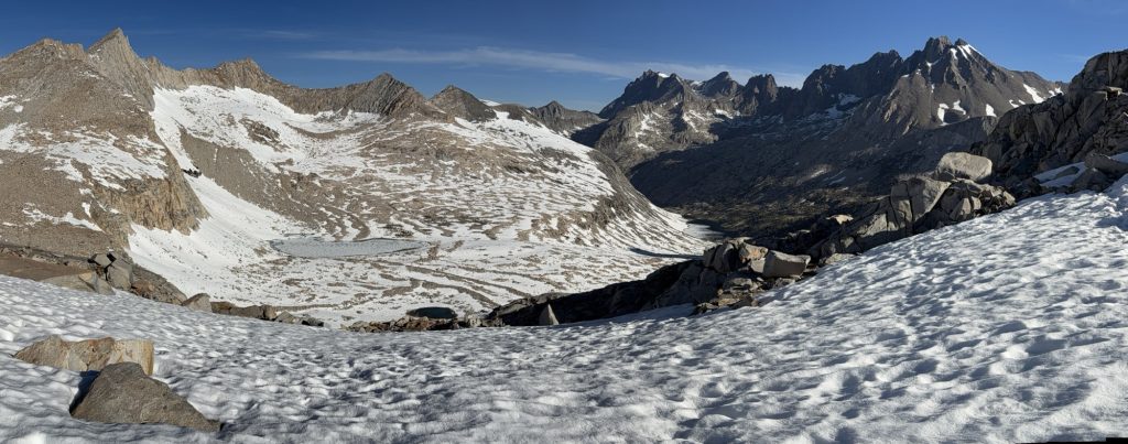
We had about 3000 ft of elevation gain over 6.8 miles to reach Muir Pass. Sitting at just under 12000 ft it is a long and gradual accent and decent. It is often described as one of the toughest passes due to the miles of snow fields one must cross in both directions. This description is 100% accurate.
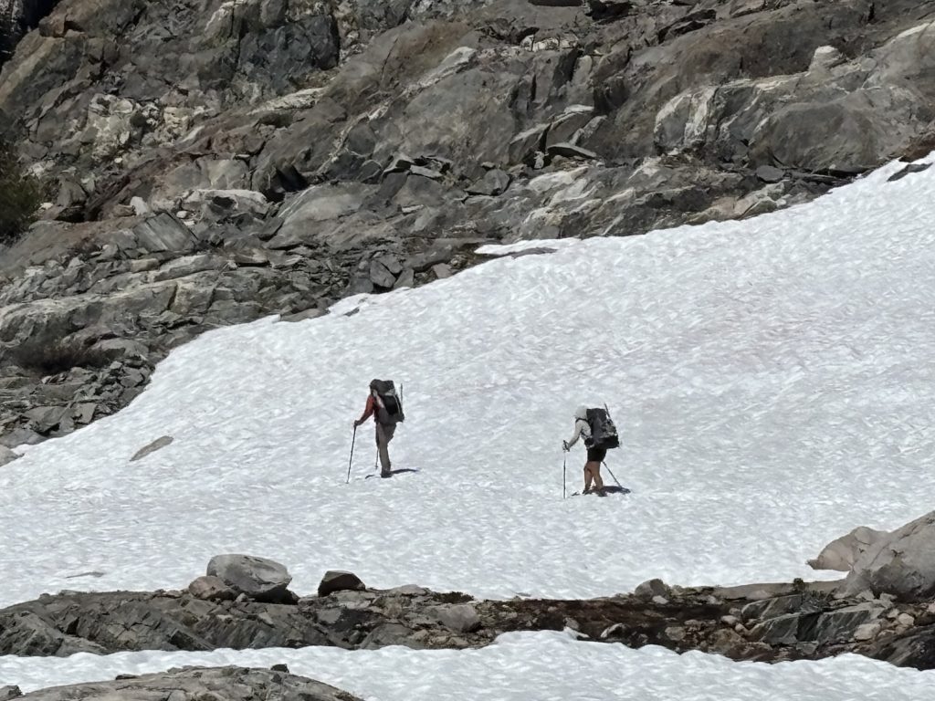
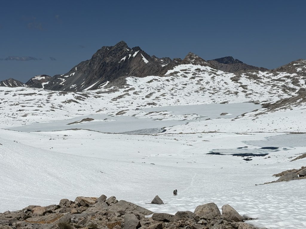
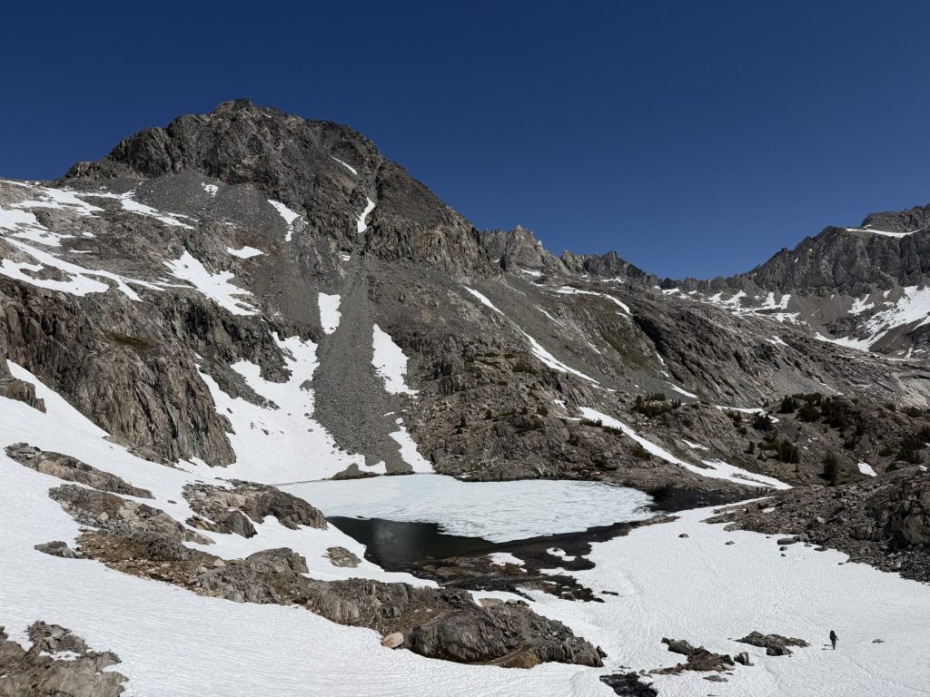
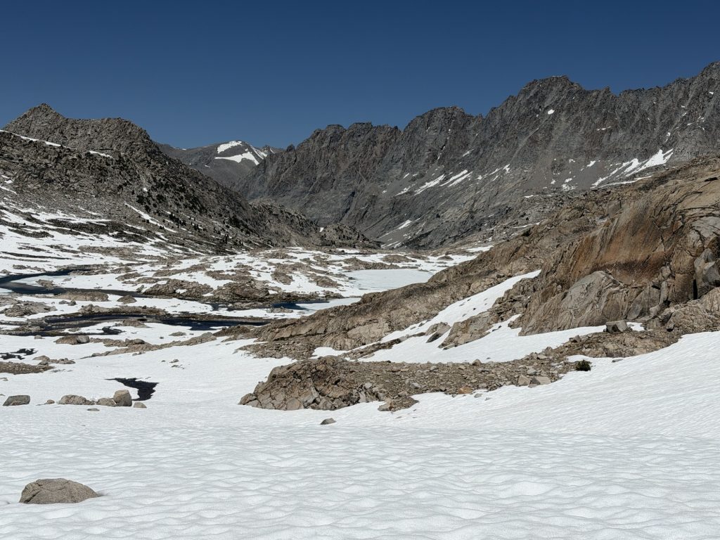
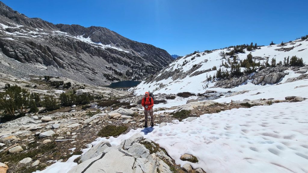
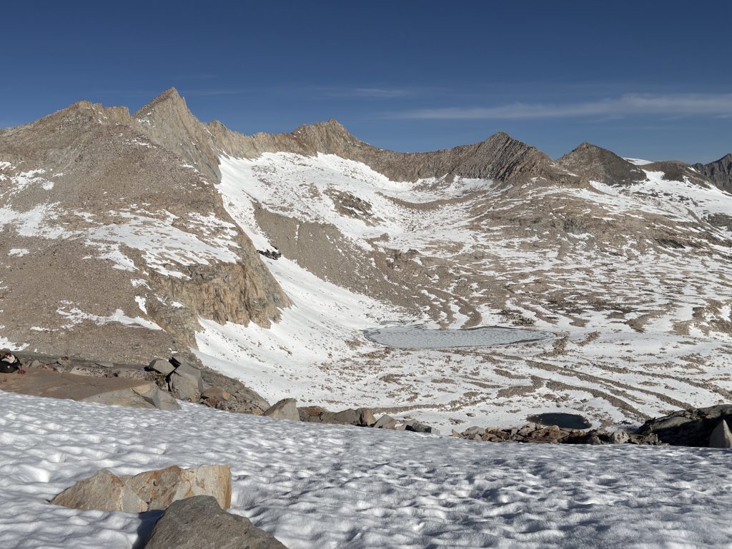
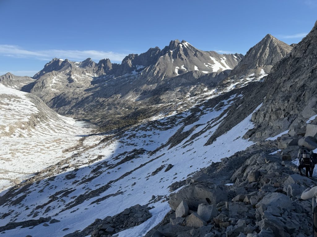
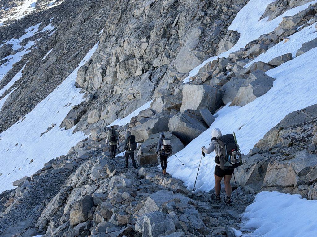
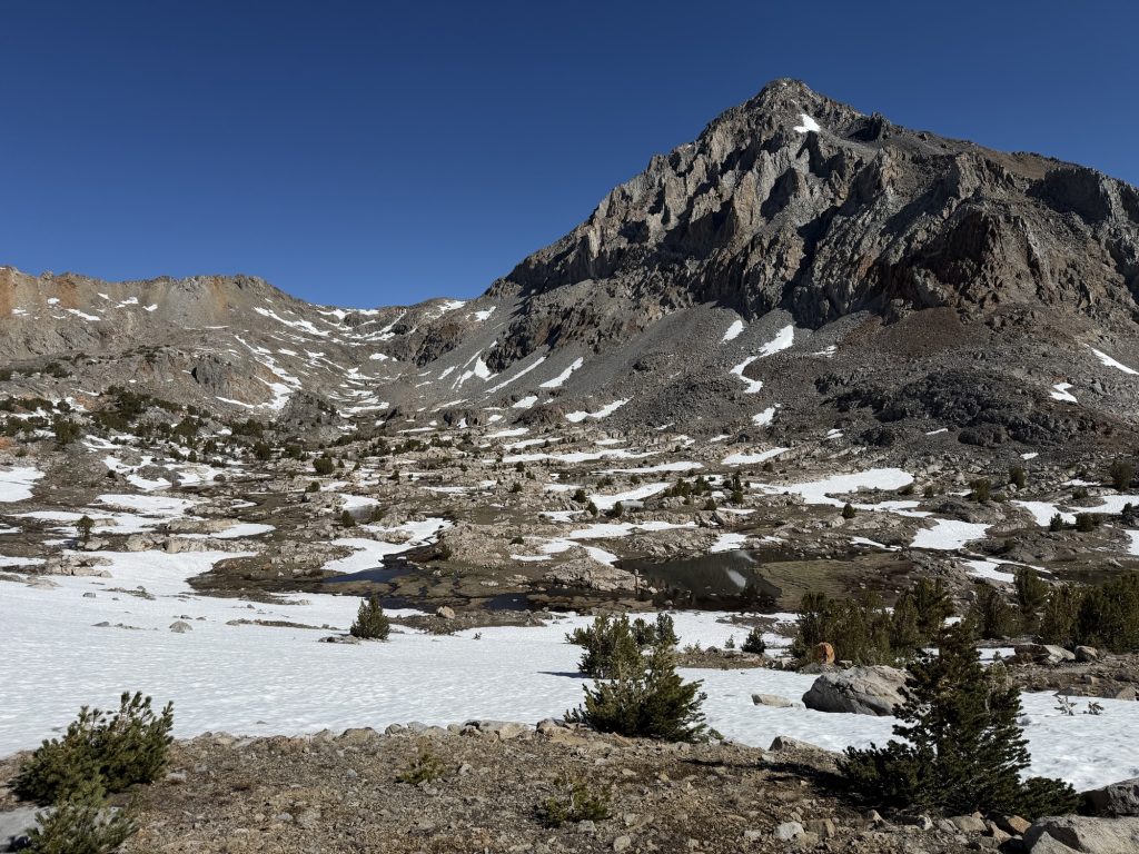
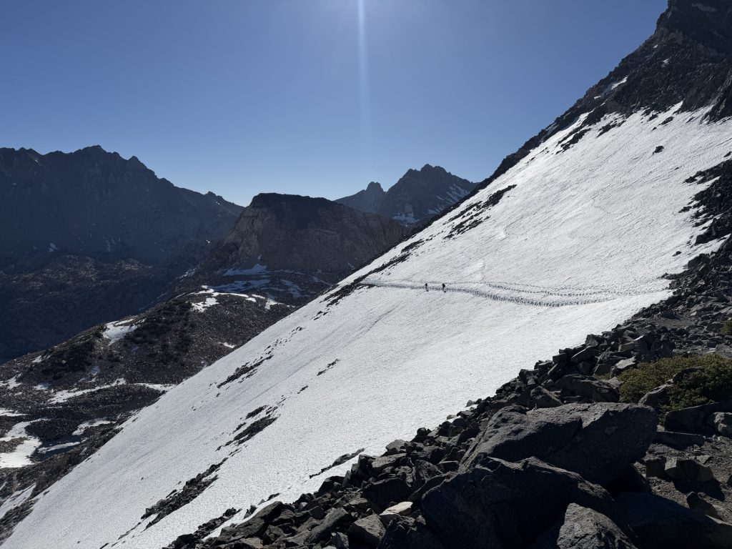
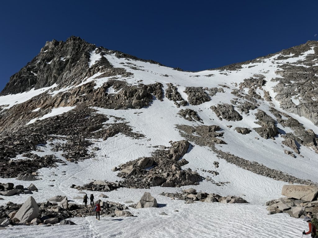
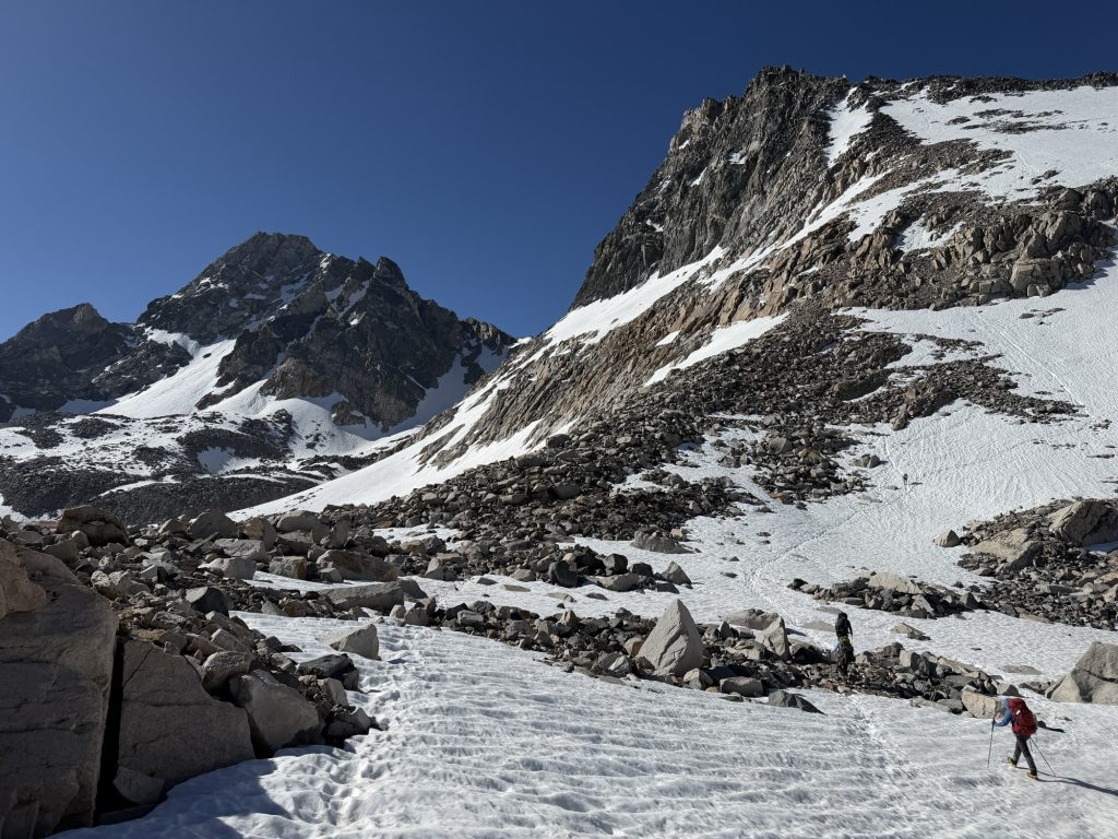
On the way up hit snow at 09:30 hrs about 4.5 miles into our day and dint see any real dry trail until near 14:00 hrs about 4 miles after the pass. So almost 7 miles of walking on snow was completed. Because of the temperatures the snow was more of a fine slush and perfect conditions for post holing.
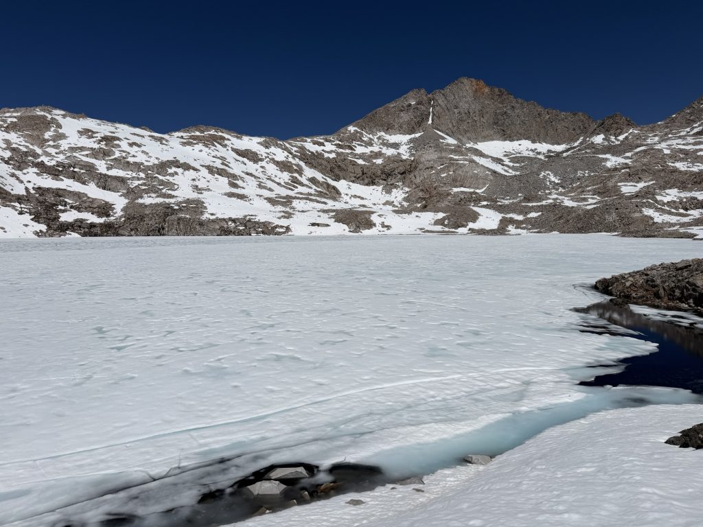
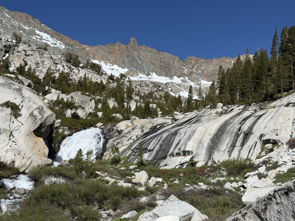
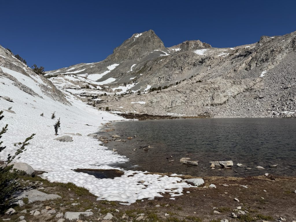
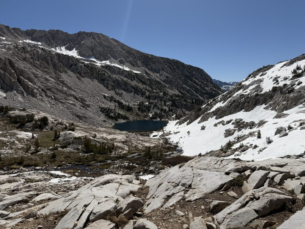
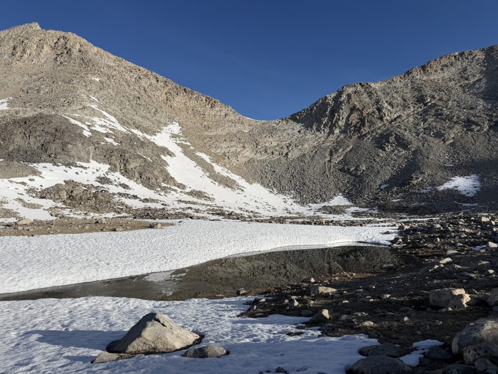
On the accent I had to be careful of what boot tracks to follow. The wrong tracks lead you to the left of the waterfall which becomes quite treacherous to cross. Fortunately I was paying attention to my map and went the right way and managed to prevent Yukon from going that way. We passed two unnamed alpine lakes and continued up into basically a field of white. It was mostly a choose your own adventure kinda affair. I didn’t wear my microspikes, the slush snow was perfectly fine to walk on without.
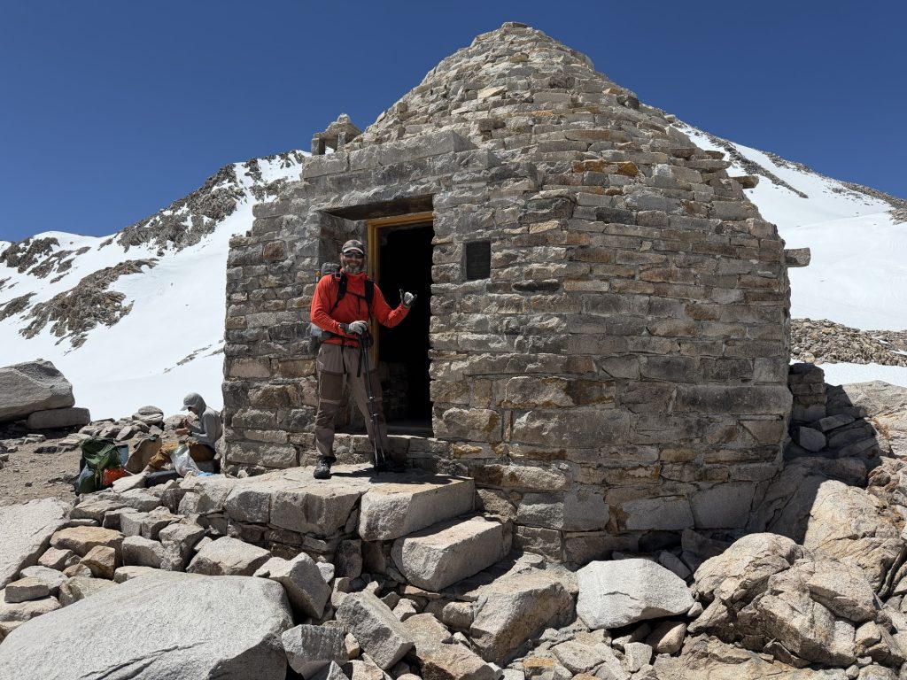
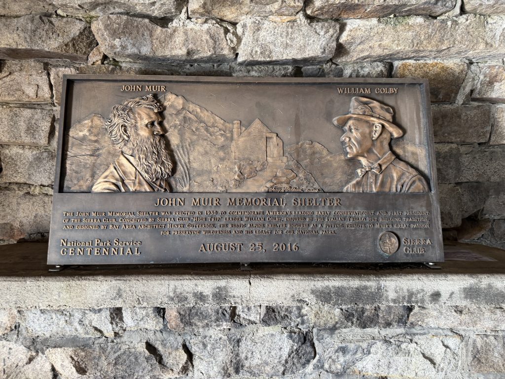
We finally reached Muir Shelter just before noon and had a little break. I put on my waterproof socks (thank goodness I bought these) for the way down. There was no real trail to follow. Just go down into the white void and hope you don’t post hole too much. Multiple times I did post hole to my knee and a few times almost to my hips.
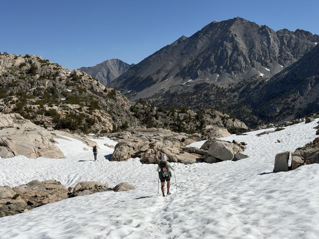
I’ve never been so happy to see dry trail in my life. I even yelled, part in anger, part in exhaustion and part in relief. Muir pass sucked. 100% the hardest pass so far, do not recommend. Patches of snow continued on for another two or so miles but at least the worst of it was over.
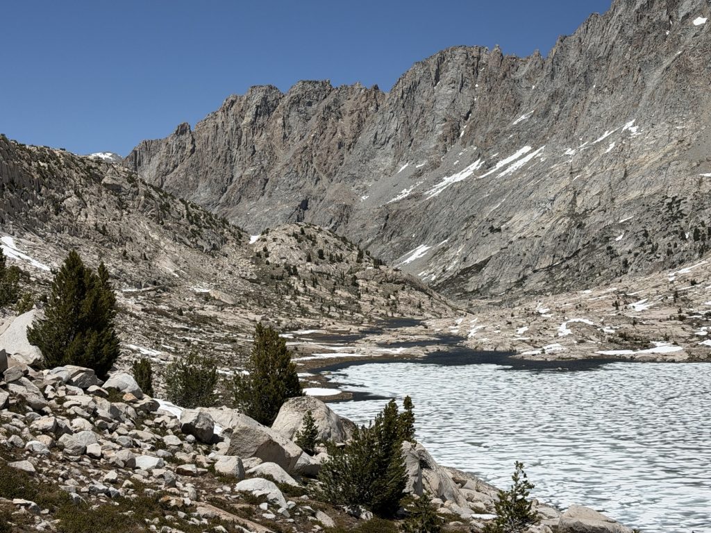
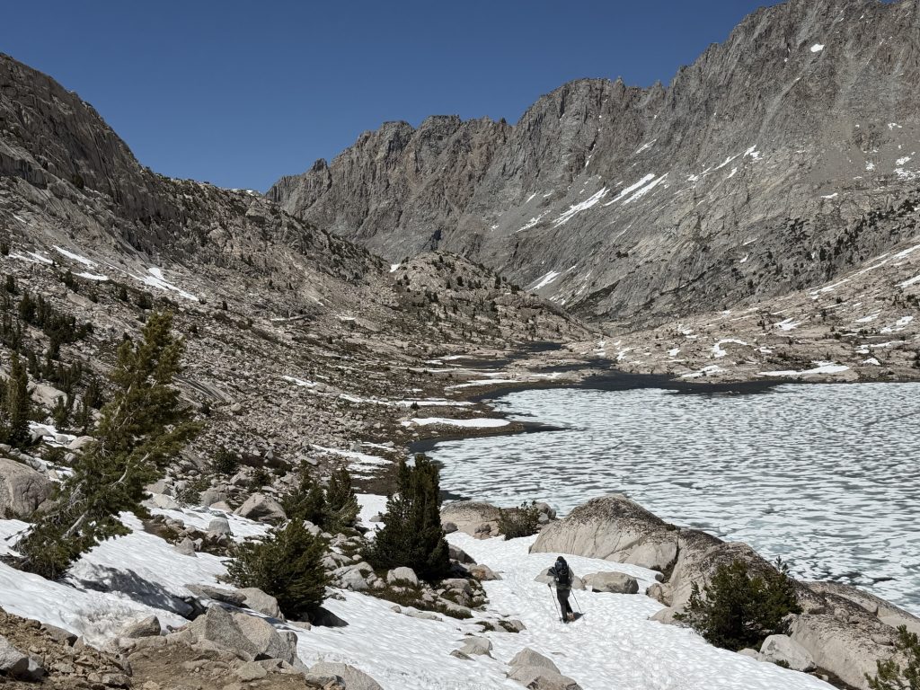
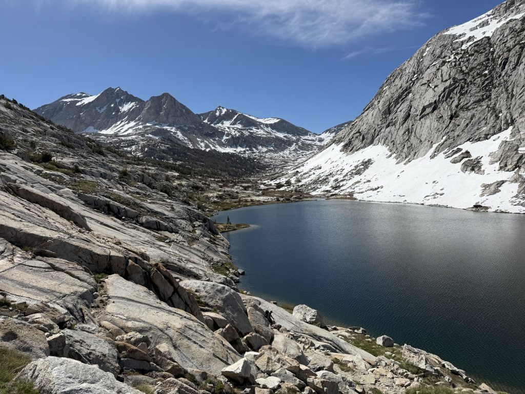
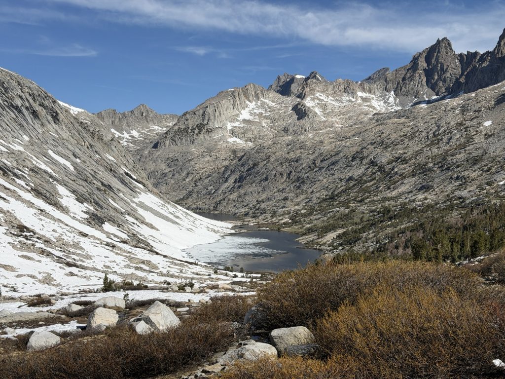
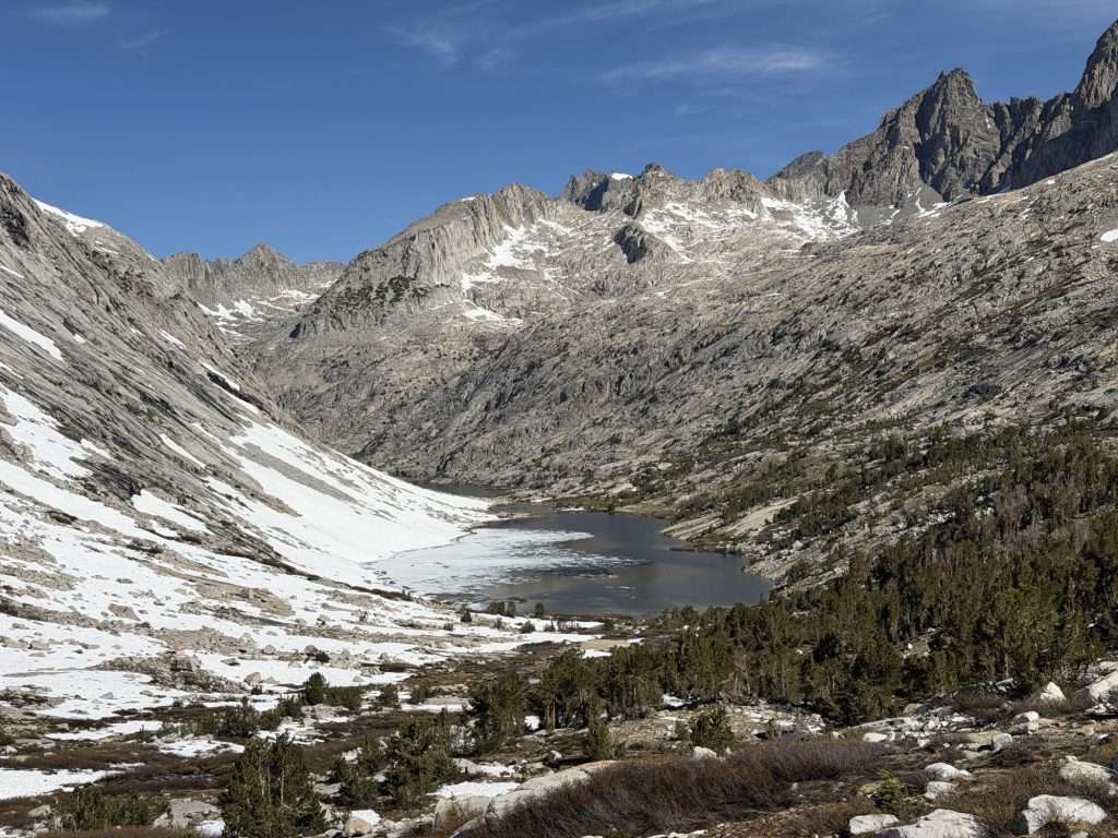
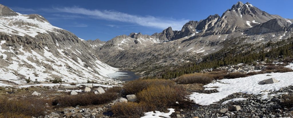
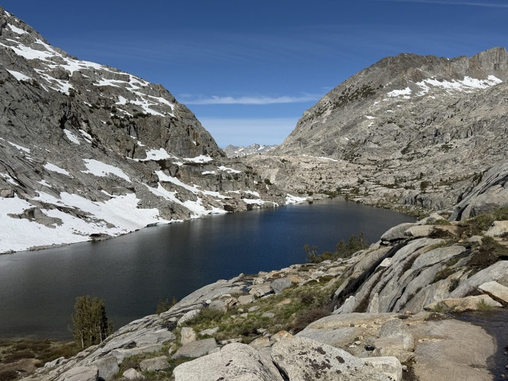
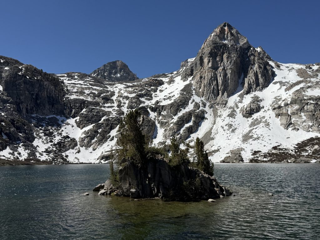
We now entered into Evolution Basin which despite my semi foul mood was beautiful. We had to cross the Evolution Lake inlet which had a nice rock hop bridge that was mostly submerged. Fortunately my shoes were already soaking wet so I didn’t care about getting them wetter.
High Stakes and myself found rock overlooking Evolution Lake and took a nice break and started the process of drying out our socks and shoes.
From here we finally started to really descend and it was only a few more miles to our camp site for the night. The whole group is tired after this long slog. Fortunately there is no pass tomorrow. But there are some of the more challenging river crossings to contend with. Just to add more fun into the day it looks like mosquito season is starting because we had a decent number of them at camp tonight.
PCT Day 65 – PCT mile 815 to Little Pete Meadow (832.8)
June 8, 2026
Total PCT miles: 17.8
Non PCT miles: 0
Total: 17.8 miles / 28.6 km
Total elevation gain: 2917 ft
Total elevation loss: 4997 ft
Steps: 42587
The Middle is Mather Pass
Today’s Sierra pass is Mather. This is Apparently the last of the difficult passes. Some hikers say Mather is more challenging than Forster Pass. After having now completed both I can see how both could be terrifying depending on the conditions you faced. Fortunately for us Mather was rather easy today.
Morning!
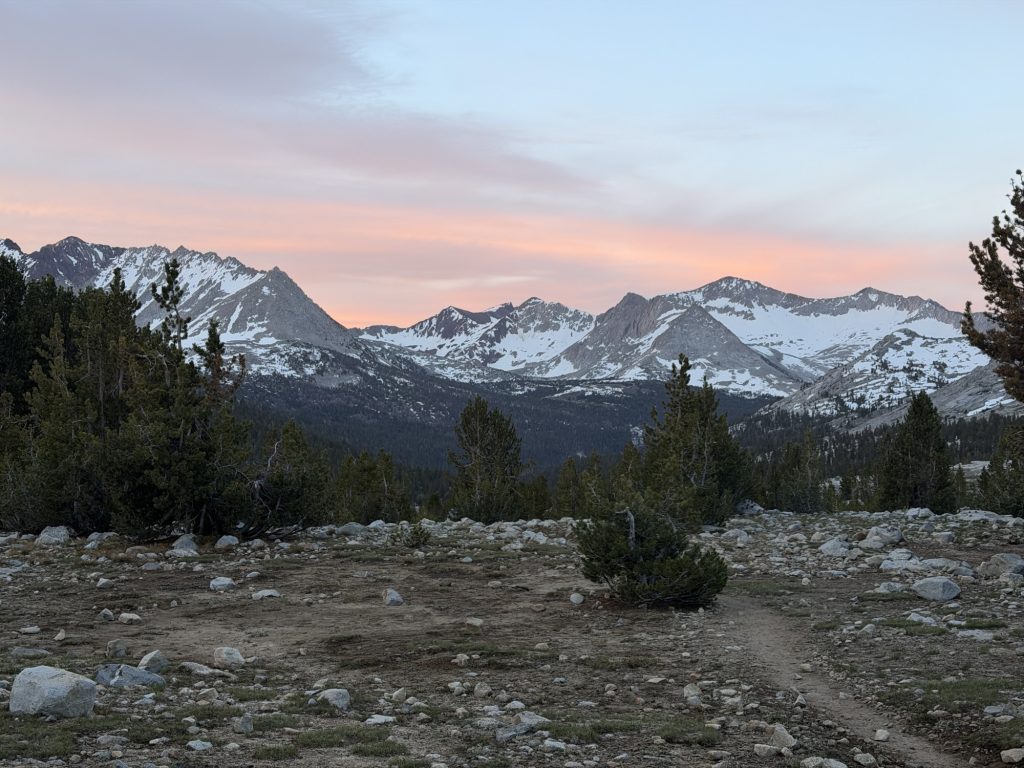
Since we only had 3 miles and 1000 ft of elevation gain to reach the top of Mather we decided to leave at 0600hrs. I had a decent night sleep but I’ve been waking up lots in the night with pins and needles in what ever sides arm I’m sleeping on. It’s something that has been going on for a while but definitely getting worse lately. While packing up my tent I caught the tail end of sunrise colors over the mountains to the south. The trail was easy going and thankfully it didn’t go below freezing so the rock hops across the creeks were easy.
I finally got my first look at the pass and immediately understood why this could be very difficult in poor conditions. The series of steep switchbacks lead you up the final 500ish feet. Fortunately the switchbacks were 90% clear and the small portion that wasn’t had really good boot tracks. I didn’t even bother putting on my microspikes.
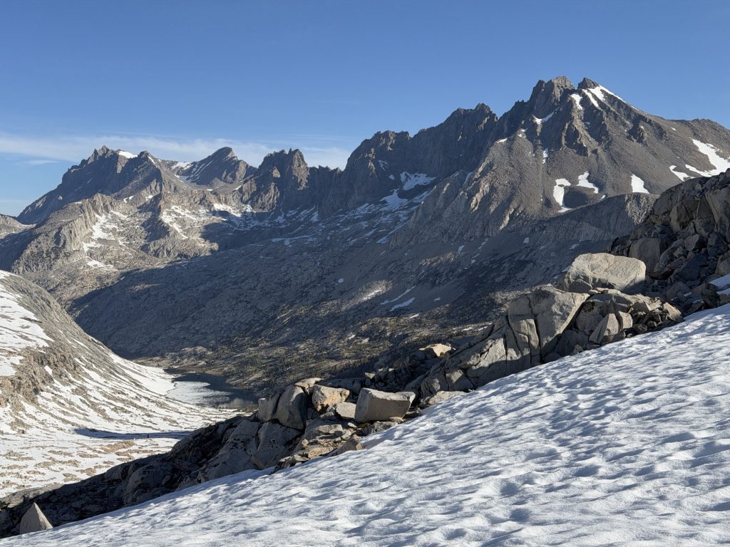
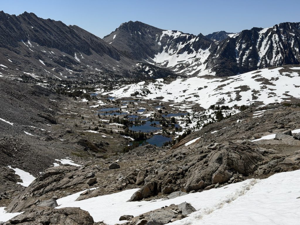
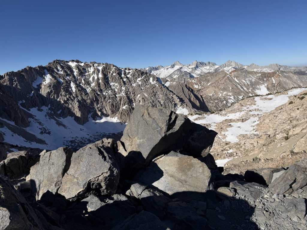
From the top of Mather Pass you are rewarded with great views of the northern valley bellow and Palisades Lake Basin. There was a significant amount of snow on the northern decent and the microspikes went on.There were boot tracks going in multiple directions but all of them pretty much went the right way in the end. I picked a line and carried on. The early morning snow was grippy and my microspikes works great.
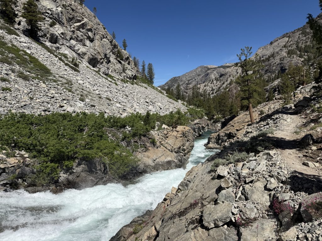
The rest of the day was just incredibly beautiful and was the most picturesque day I’ve had on the PCT thus far. First was the Upper and Lower Palisades Lakes then down a canyon hiking beside the raging Palisade Creek that I’m happy I never had to cross.
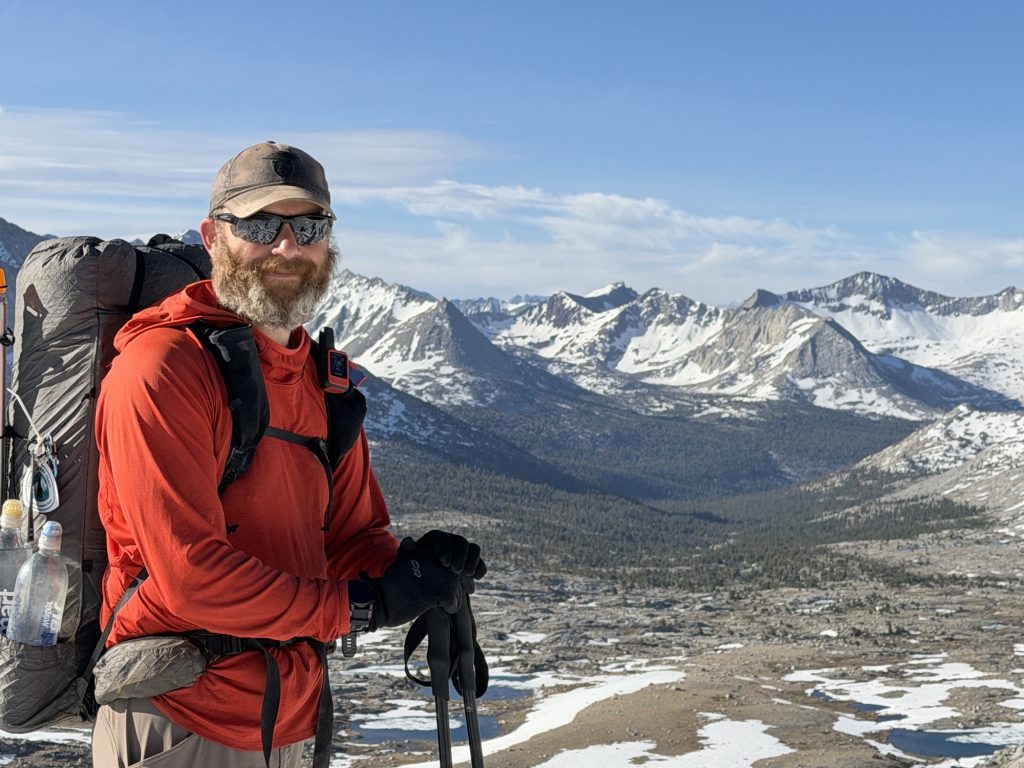
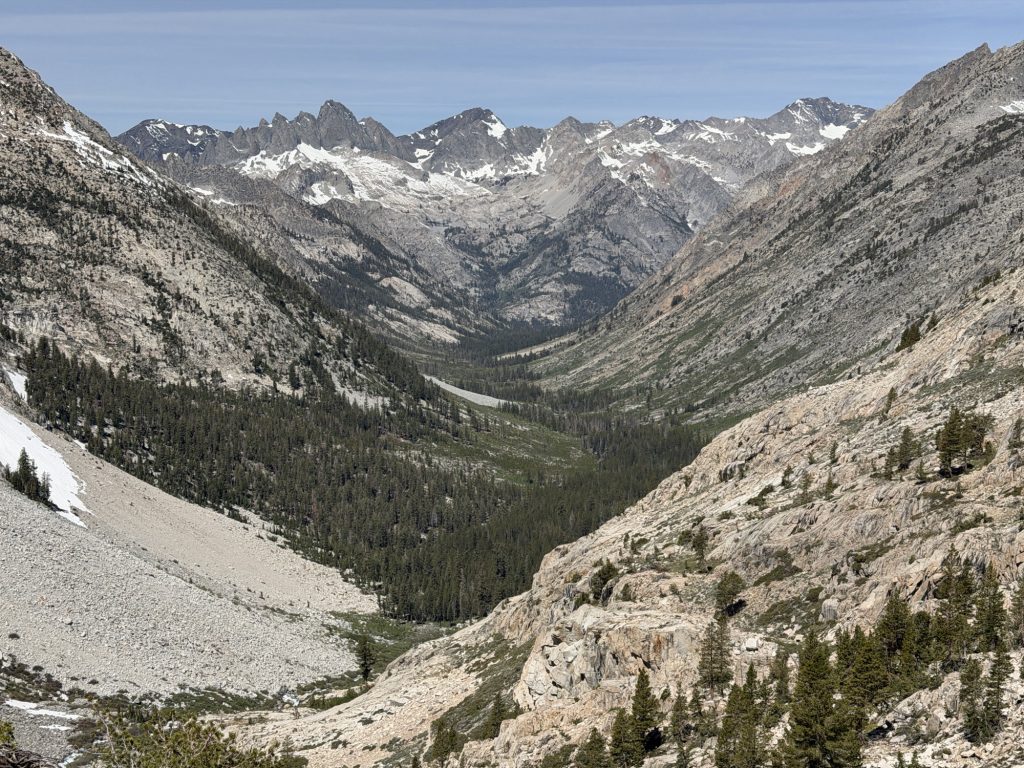
We emerged out of the canyon to one of the most beautiful vistas I’ve ever seen while hiking. Before me was a deep valley backed by a wall of mountains. My jaw literally dropped at the view in front of me. We spend some time admiring the view before continuing down the 1000ft decent in just 3/4 miles. My knees certainly felt this one! I wish we could have stayed longer but there was no safely accessible water nearby.
At the bottom we stopped to rest our knees and have lunch. There was a dear here that was completely unbothered by our presence. From here we continued down into the valley before reaching the lowest point of the day – 8000ff and navigating many stream crossings.
From here we started a slow gradual climb along side the Middle Fork of the Kings River. We passed Grouse Meadow and High Stakes and I almost made the decision to camp here and catch up with the group tomorrow. But alas we carried on. We finally got to a stream we might have been able to cross and keep our shoes dry but I made the decision to cross it bare foot. Mostly because i intended to stand in it for as long as i could bare the freezing cold water. My Achilles are sore today and the cold water felt great.
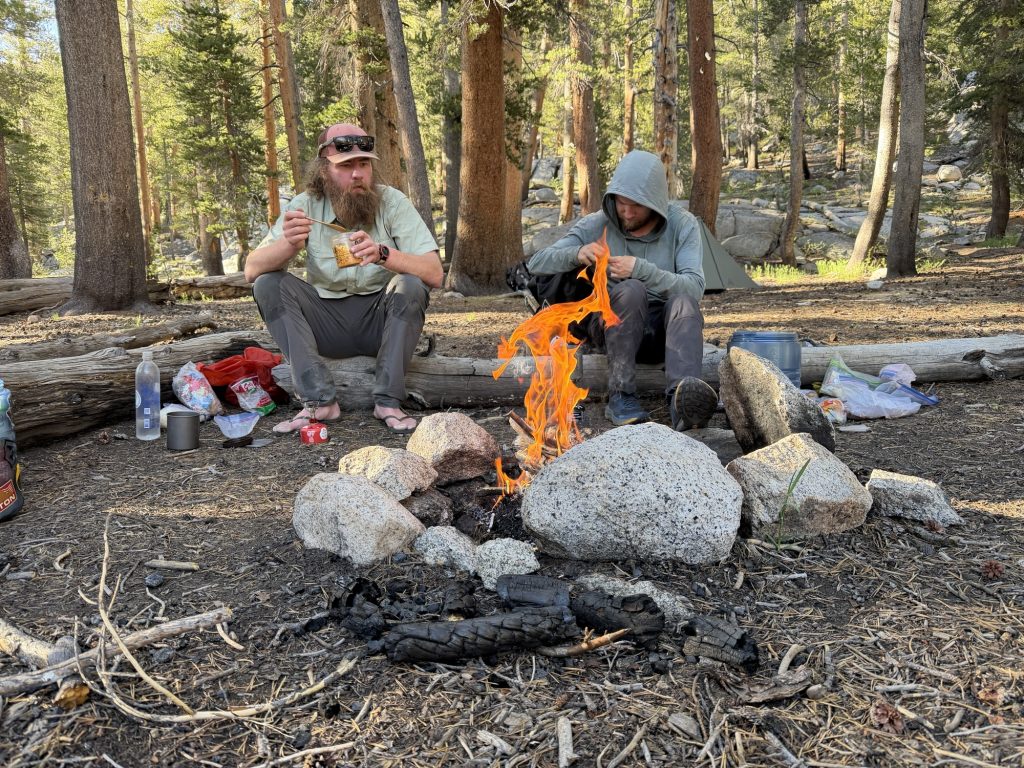
It was a short mile hike left to where i am now camped at Little Pete Meadow. When I arrived Chopps had started a campfire to cook the fish she caught earlier in the day. There are 4-5 nuisance deer here who kept coming into camp with no fear. How much excitement do we lack currently? Well we had a race to see who’s water filter could fill up two 1 liter bottles the fasted while hung off a log… yup that’s entertainment at its finest. Later our group was joined by another louder group of people…
Tomorrow is Muir Pass. We won’t get there while the snow is firm so I’m expecting a slush fest and postholing.
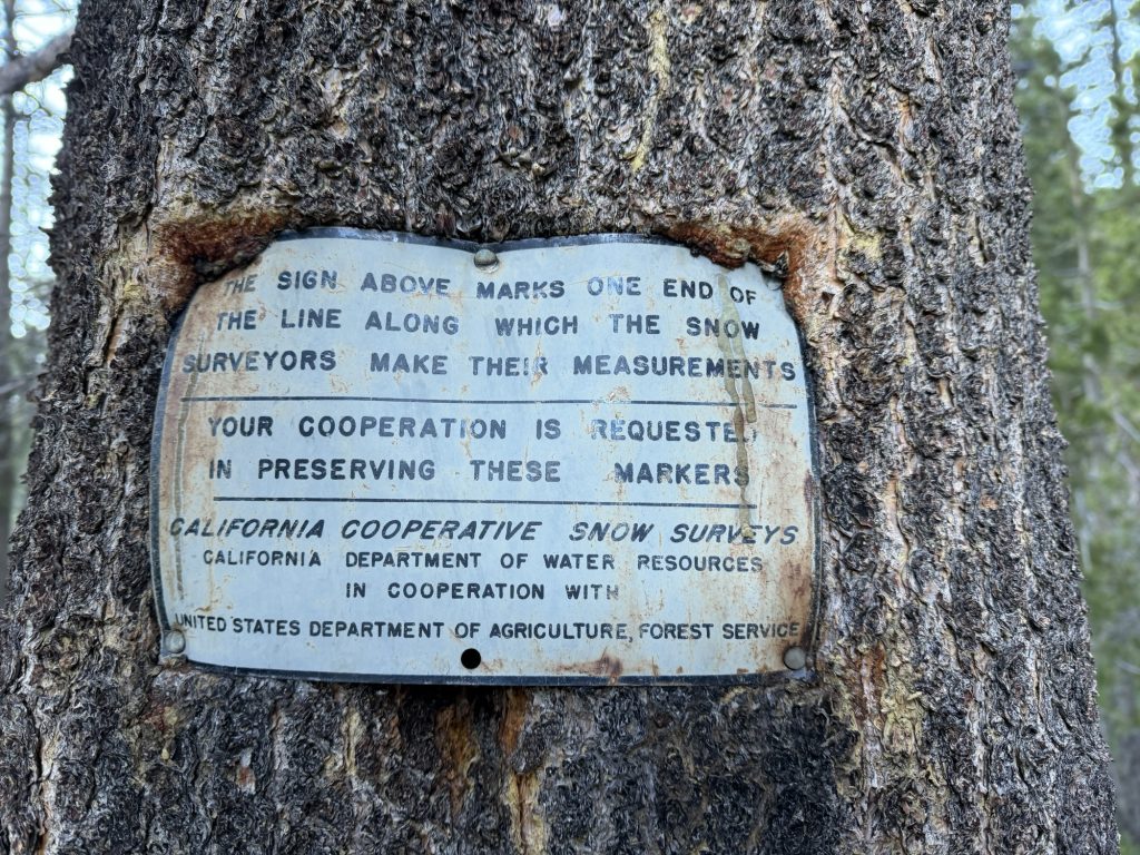
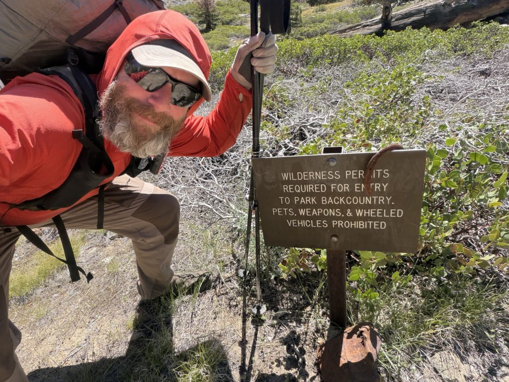
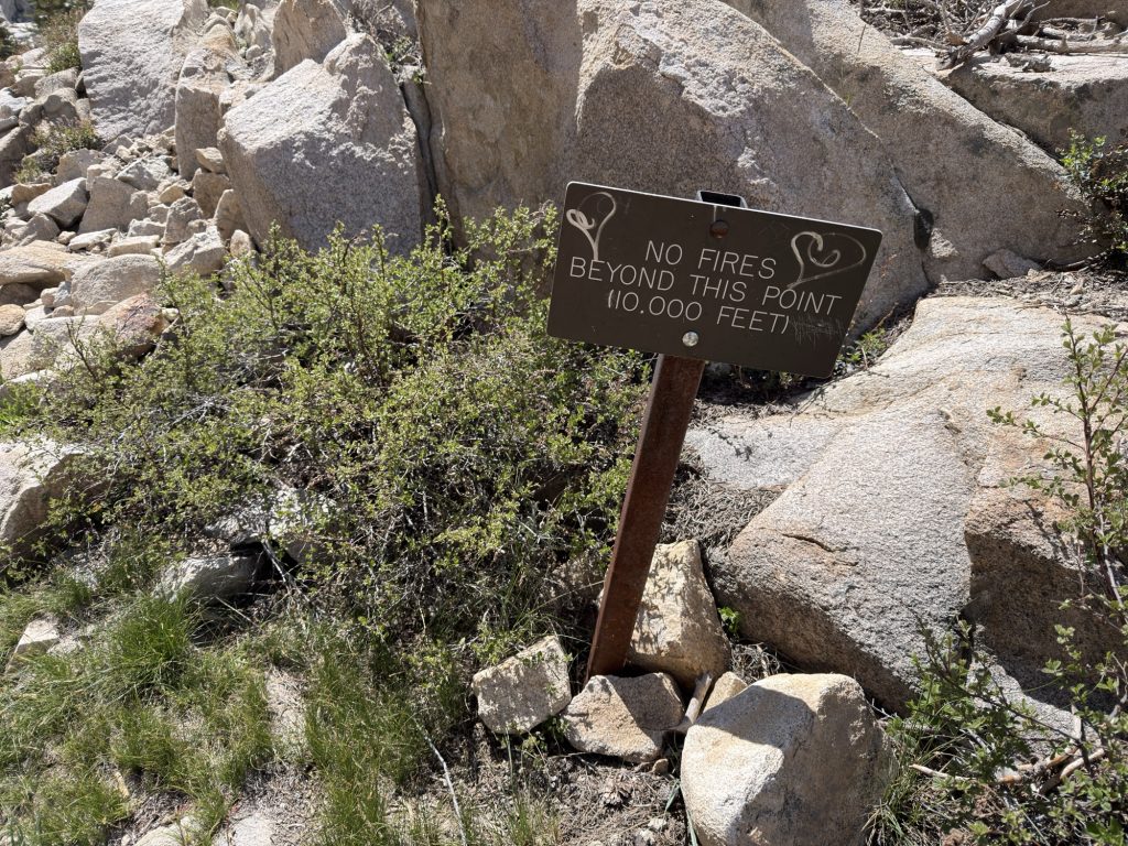
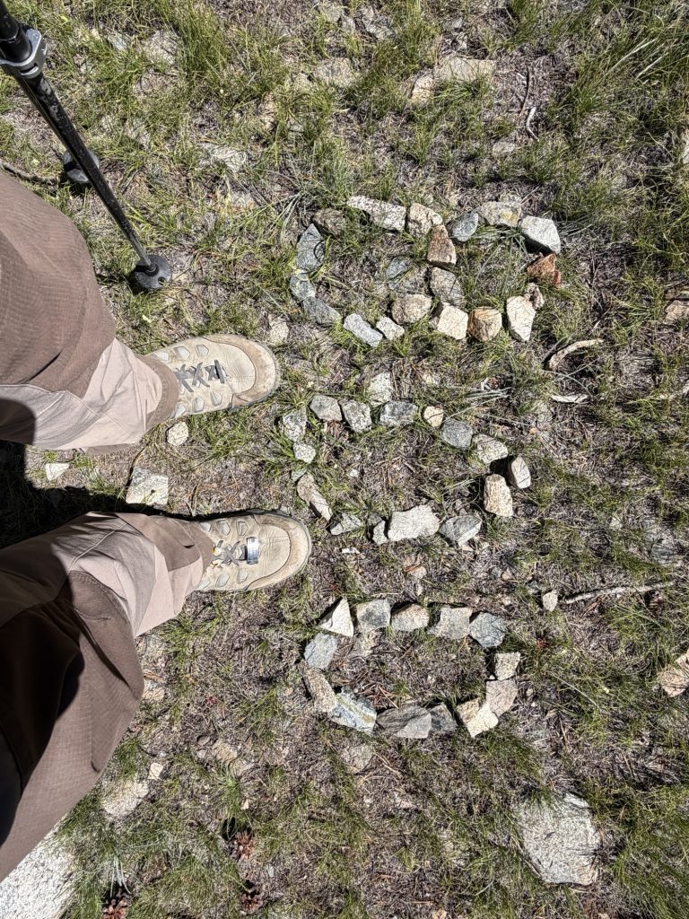
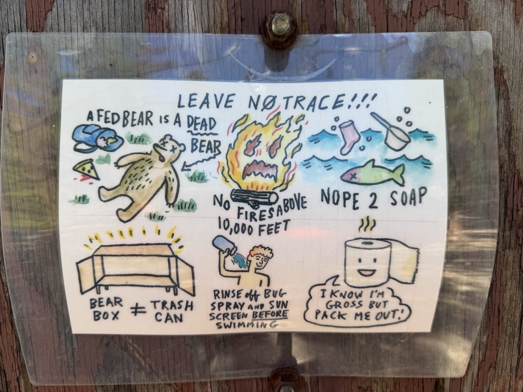
Of course….. Everytime you go above 10000 ft these signs are there
I had another decent sleep last night. Falling asleep well before it was dark outside and waking only twice before it was time to get up at 0400hrs. The early morning was due to the 7.4 miles and 3600 ft of elevation gain we had to hike to get to the top of Pinchot Pass.
The day started by crossing a suspension bridge over Woods Creek. This creek is more of a raging torrent of water so I was really glad there was a bridge here. That said we’ve passed a few other raging torrents that don’t have bridges. It makes me wonder what exactly is the criteria for building a bridge in the middle of the Sierra?
Almost immediately after the bridge we started climbing. It was, at least for the most part a gentle climb. We crossed an unnamed stream we had to take our shoes of to walk across. The water was absolutely freezing but at least I got my morning foot bath done early. At around 10500 ft we started to get patches of snow and shortly after we donned out microspikes to traverse a ridge. It took until 10:15 to reach the top of Pinchot.
Going down the other side was easy there were some snowy patches but microspikes were not required. We passed some beautiful unnamed alpine lakes and stopped for lunch.
We descended to just below 10000 ft which was our original camp site plan. However the group decided to make a few more miles and get in a better spot for Mather Pass tomorrow. Also this allowed us to cross the South Fork of the Kings River today. This is a notorious river crossing on the PCT but fortunately due to the low snow year none of the rivers have yet to be particularly bad.
We managed to find a log, island, log, rock jump bridge to avoid getting wet. Well all except “High Stakes” who ended up taking a plung.
We finished out day with a second crossing of the South Fork Kings River that I decided it was best just to cross in my camp shoes. The water was moving fast but only knee high. We are camped now just bellow 11000 ft leaving just over 1000 ft over three miles to Mather tomorrow. This camp site is incredible and I am literally surrounded by mountains on all sides. It seems like every night the campsite we find is better than the night before!
The good news is my hip belt seem to be holding. The bad news is I have come down with a head cold. Hopefully I get a good night sleep and feel better tomorrow.
I actually slept well considering we were camped over 11000 ft last night. Probably the best sleep I’ve had in the Sierra thus far. The low last night was apparently 5 degrees if you believe my Garmin so im sure that helped. We were up and on trail at 0700. A lateish start but there was no rush today. We had only 1000 ft of elevation over 1.7 miles to get to the top of Glenn Pass.
Ridge walk on the other side of Glenn Pass
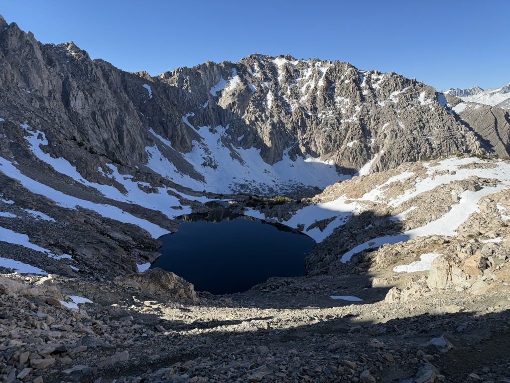
The climb up Glenn was slow but steady with almost no snow on the acent. It wasn’t a particularly beautiful hike up but there was a nice mostly frozen alpine lake. We reached the top early enough that the snow field on the other side was still hard. There was a solid boot track to follow along the ridge that brings you to where the switch backs down would normally start but today was more of a choose your own adventure kinda affair.
Most of the switch backs were snow covered and the easiest route was down rock fields. My microspikes went on and came off multiple times while navigated the tricky but non-technical decent. The views into the valley bellow and which hold the Rae Lakes promised the effort would be worth it..
Looking back up at Glenn Pass
We were down at 0845 and a group of hikers going southbound walked by. We sat and watched them do their accent up for a while. I will say I’m glad I was not going their direction. From here only a little snow remained and the easiest way to finish was to glissade (slide down on your butt). This was my first time glissading and it was a lot of fun… minus the rock I almost hit.
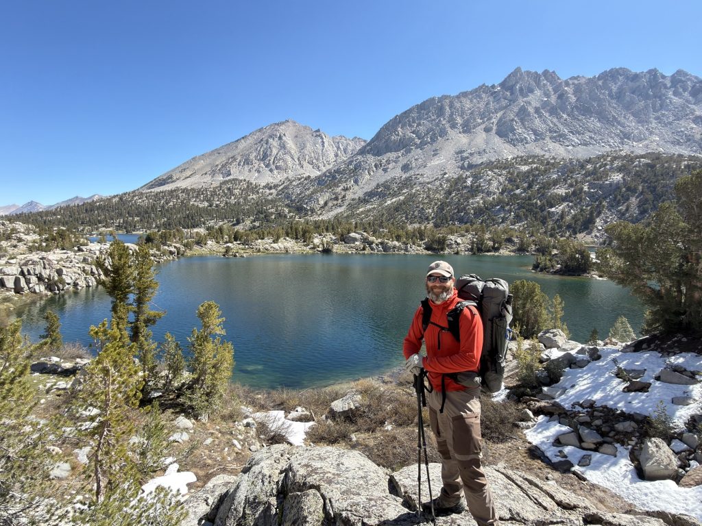
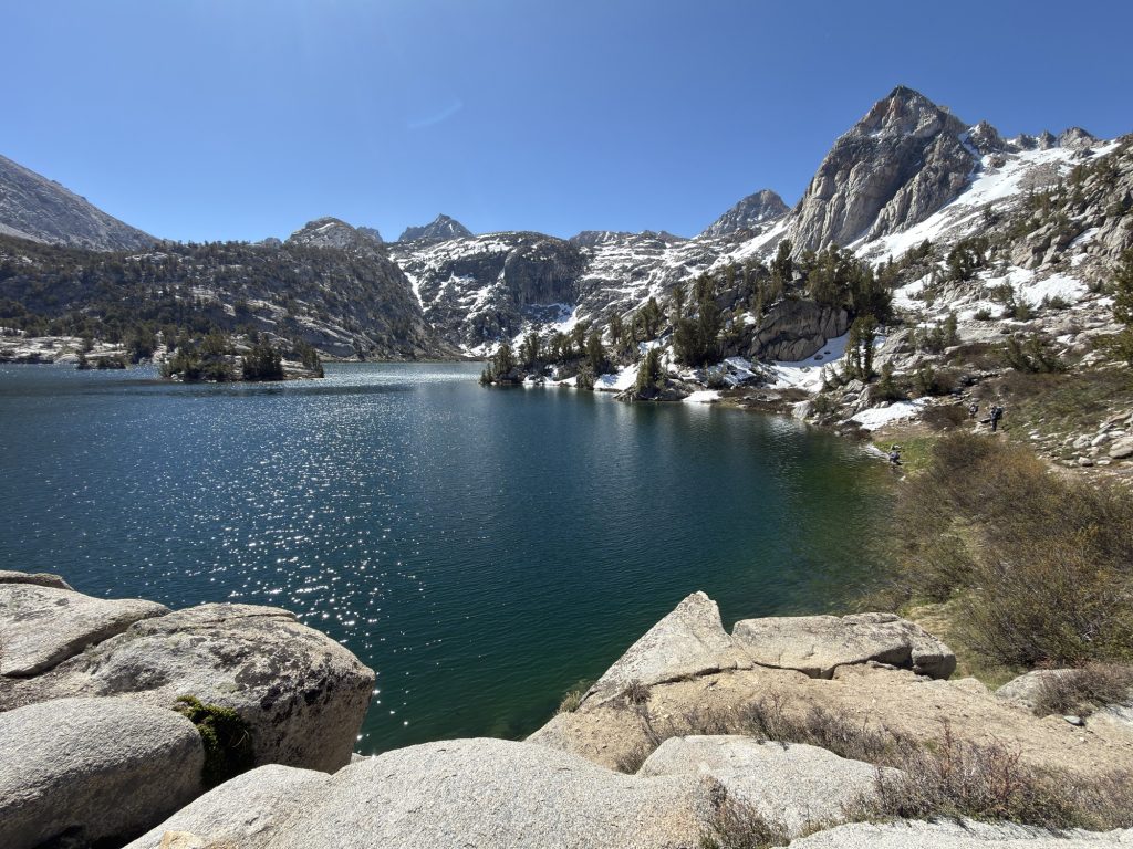
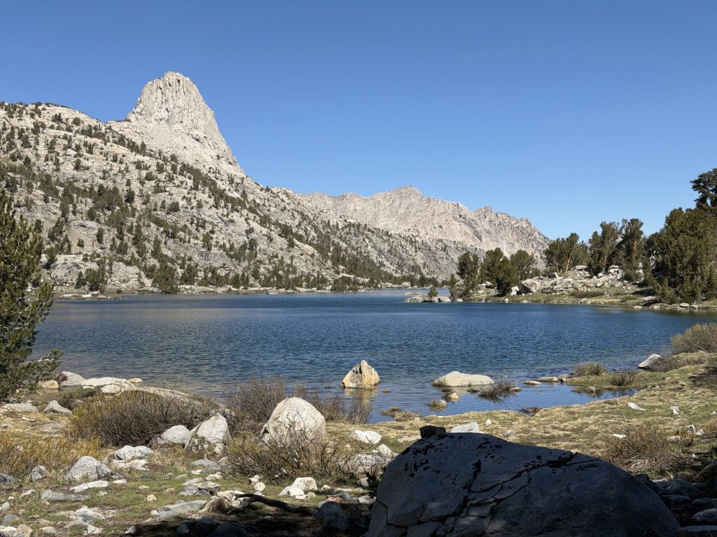
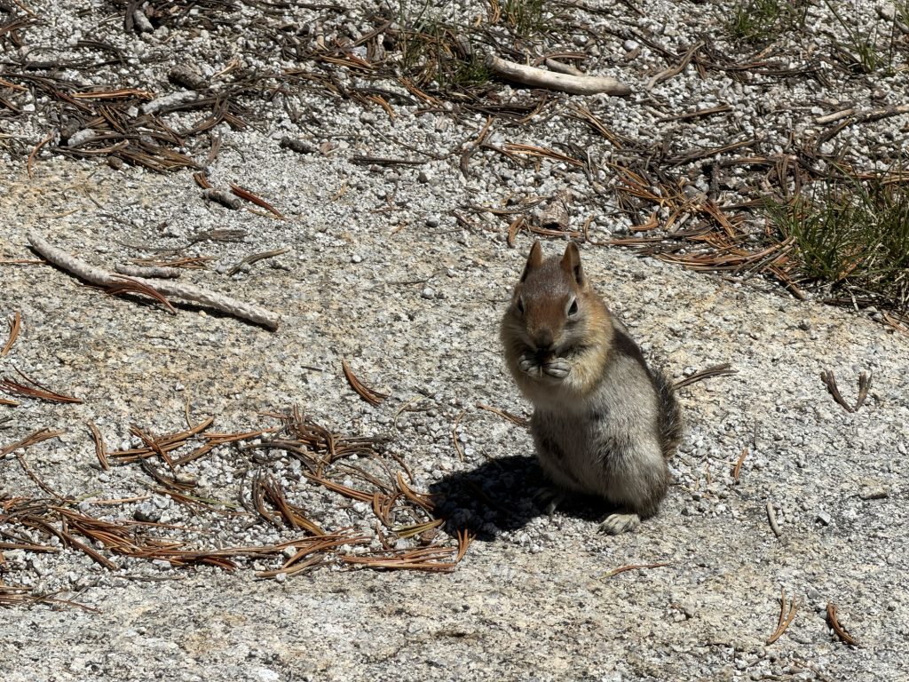
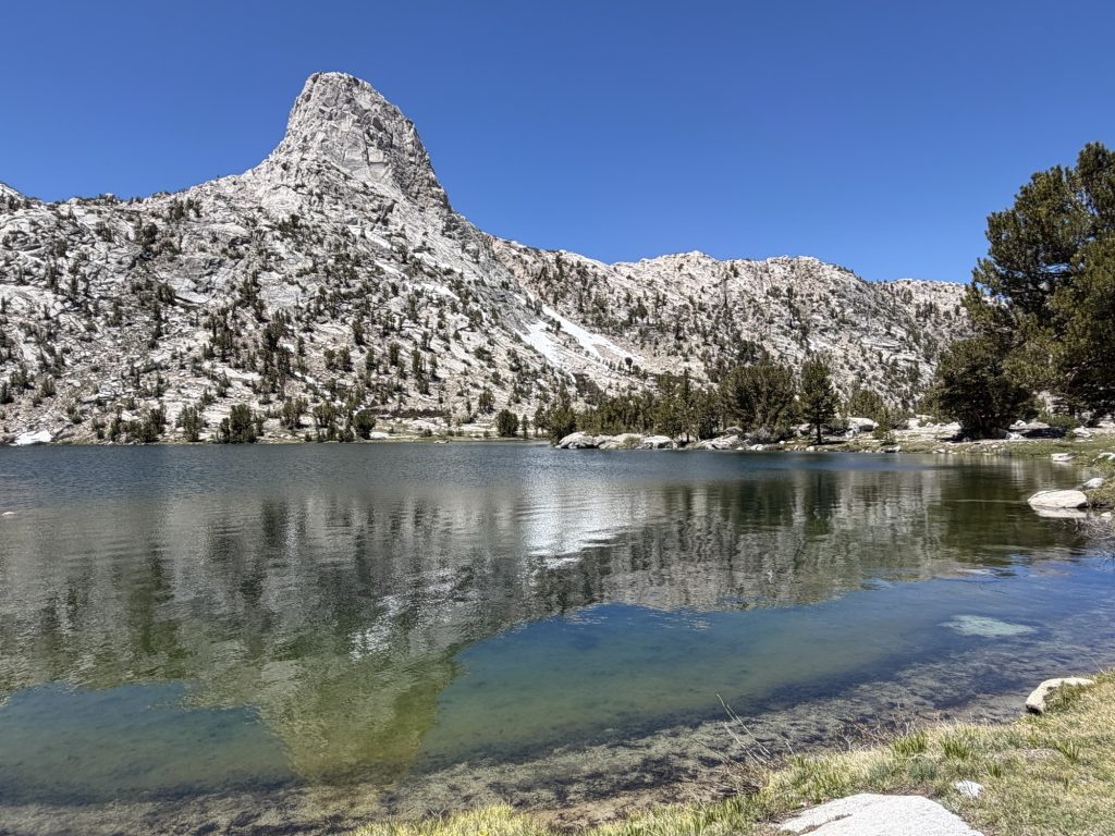
I was then treated to the Rae Lakes which are incredibly beautiful alpine lakes. We took our time as we had less than 10 miles to hike today to the bottom of the valley. We stopped several times to enjoy the views and have lunch with the least shy chipmunk I’ve ever met.
I was very grateful for my new camp shoes as we had to do 3 water crossings that involved getting wet. The water was freezing but at least my actual shoes and socks stayed dry.
The repair job I had done on my pack is already starting to let go. I really hope it holds to Mammoth. My pack is way too heavy to not have A hip belt. I’ll do my best to be as kind to it as I can over the next week but I’m not optimistic that it will hold.
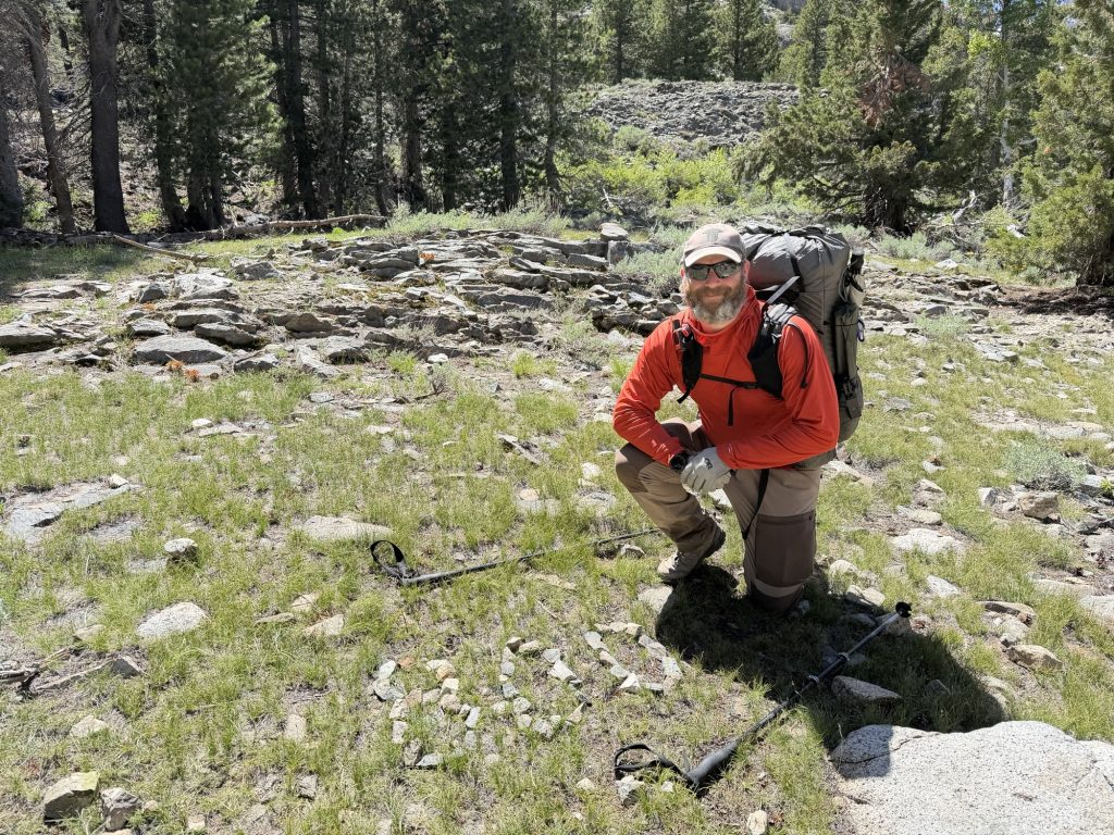
On the way down to our campsite we passed 800 miles on the Pacific Crest Trail! Wild to think I’m not even 1/2 done walking through California. It’s like driving across Canada – Ontario takes forever and the rest flys by (hopefully).
We’re camped at 8500 ft tonight which means it should hopefully be conducive to getting good rest. Tomorrow is an early start. We have 7 miles and 3500 ft of elevation gain to reach Pinchot Pass.
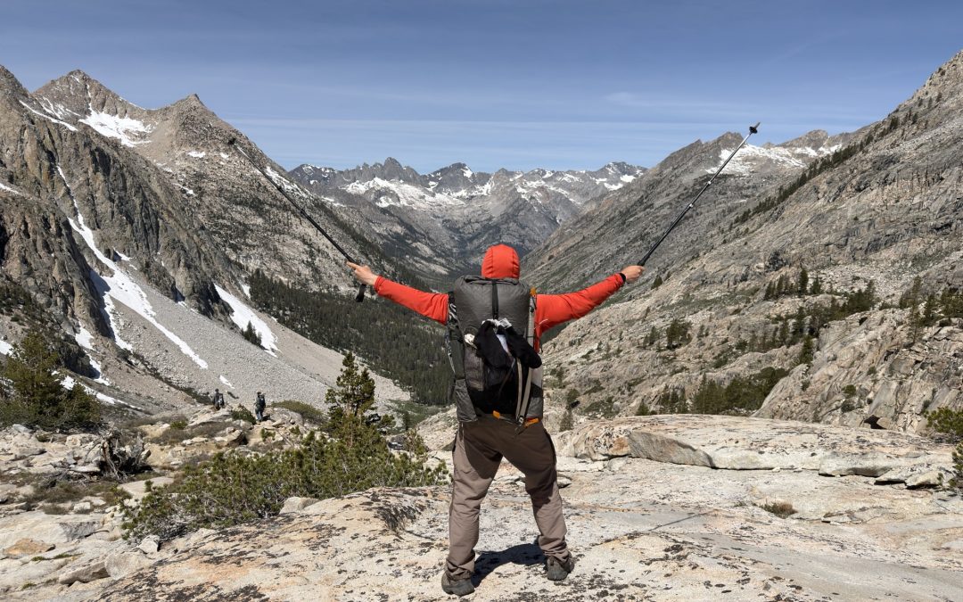
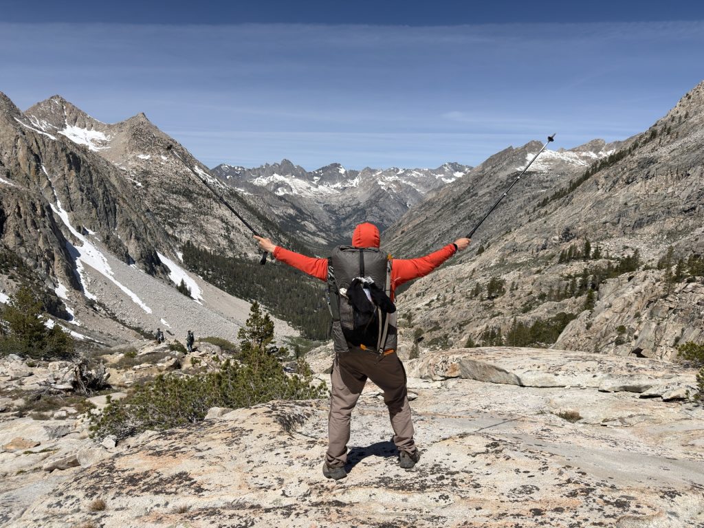
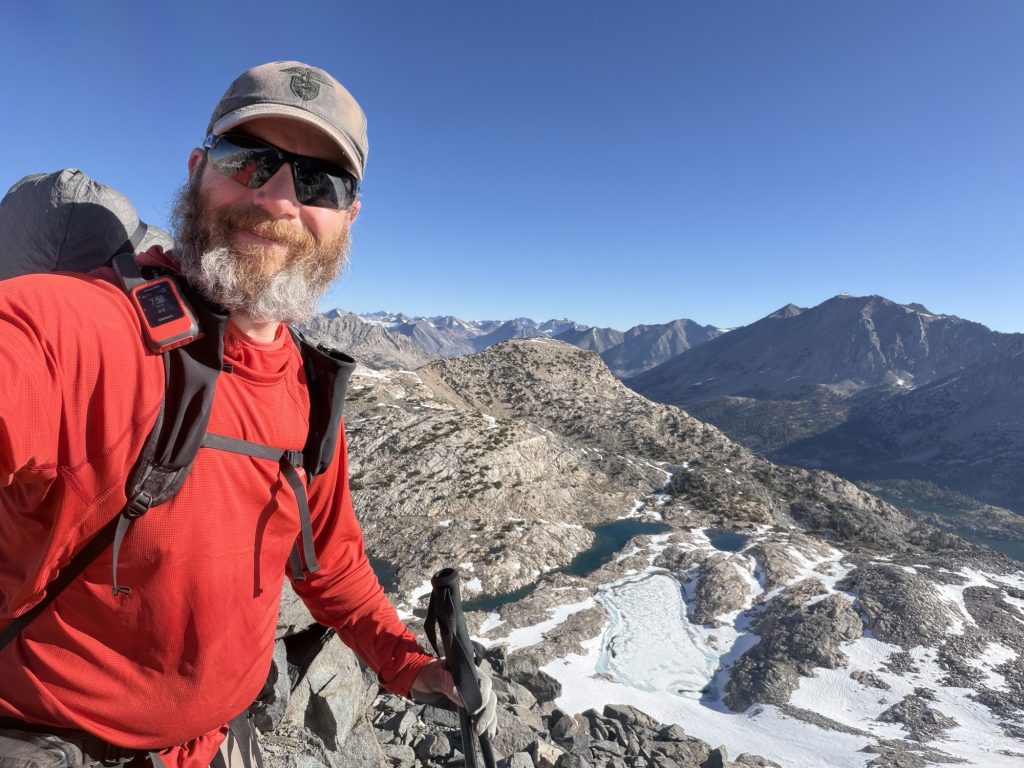
View from the top of Glenn PassHiking down the other side of Glenn Pass