PCT Day 61 & 62 – Zero Day in Bishop to PCT mile 791.1 via Kearsarge Pass
June 4&5, 2026
Total PCT miles: 1.5
Non PCT miles: 7.6
Total: 9.1 miles / 14.6 km
Total elevation gain: 3167 ft
Total elevation loss: 1401 ft
Steps: 21763
Zero Day In Bishop.
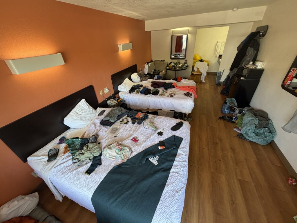
I shared a room at the Motel 6 with 3 other hikers. 4 thruhikers gear exploded all over the place… Let me tell you that room definitely had quite the pungent odor. The last time I had slept in a real bed, had a real shower or done laundry in a machine where it actually came out cleaner was May 20th in Ridgecrest. Finally having all three was incredible.
I think this is the busiest zero day I have had. I started with breakfast at 0900 and didn’t finish chores until 2300 when I finally was done updating this blog. There was almost no rest time and I walked more than 18000 steps throughout the day. But it was productive.
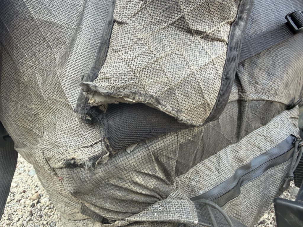
Damaged left hip belt!
The most important item on the list was getting my back pack repaired. The left hip belt is literally holding on by a few stitches. Yesterday I had taken a chance and went to The Rubber Room which is a shoe repair shop that specializes in repairing climbing shoes. The guy there told me he could fix it but to bring it back in today with a piece of webbing that I ended up getting from Eastside Sports for free. Thank goodness because ever other avenue I attempted was unsuccessful. They did a great job with the repair and I’m confident it will hold. Durston reached out today to let me know they will be replacing the pack because it’s a manufacturing defect! I’m out on the trial now so Mel is stuck handling this for me.
I finally caved and bought a pair of camp sandles. After my experience at Tyndall Creek having something I can wear around camp that’s dry is important. I also got my trekking pole tips replaced again – this trail is sure hard of trekking poles. This time they are name brand replacements unlike what I was able to get in Agua Dulce so hopefully they last longer.
Then came the dreaded resupply. It’s another 7 day food carry from Bishop to Vermillion Valley Resort (VVR) where we will pick up two days of food to make it the rest of the way to Mammoth Lakes. I find resupplying overwhelming, especially in large grocery stores. I did manage to get all my snacks at the Dollar General but I probably spent almost two hours in the Vons grocery store overthinking what I was doing. Later came the Tetris to cram it all into My bear canister. It almost all fit but I had to sacrifice the Swedish Fish unfortunately.
The rest of the day was phone calls back home, eating as much town food as possible and updating my blog. Sadly I never made it into the pool at our hotel and thankfully we all just did our Landry together so I didn’t have to wait around for that or I would have never been able to finish. Fortunately I now have town clothes or I would have had to walk around all day in 35 degree temps in my rain gear!
June 5 – Kearsarge Pass to the PCT
This section of the Sierra is best travelled one mountain pass per day and that is exactly what our plan is. Thankfully this means the first few days are a bit lower in mileage because my backpack weighs entirely too much. I’m already thinking of all the things I can send home after this part is done. Today’s plan is to get over Kearsarge Pass and in position to go over Glen Pass tomorrow morning.
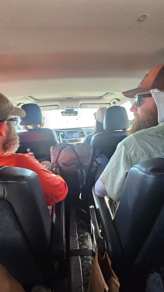
We were picked up at 0900 at our hotel by Chops’s dad who drove all the way from Oregon to visit. It’s about an hour from Bishop back to the trail along a very beautiful drive. On the way up the Temperature dropped from the 35 degrees it was calling for in the valley to somewhere in the low 20s.
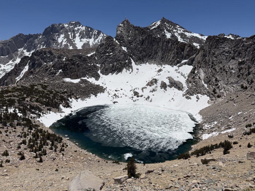
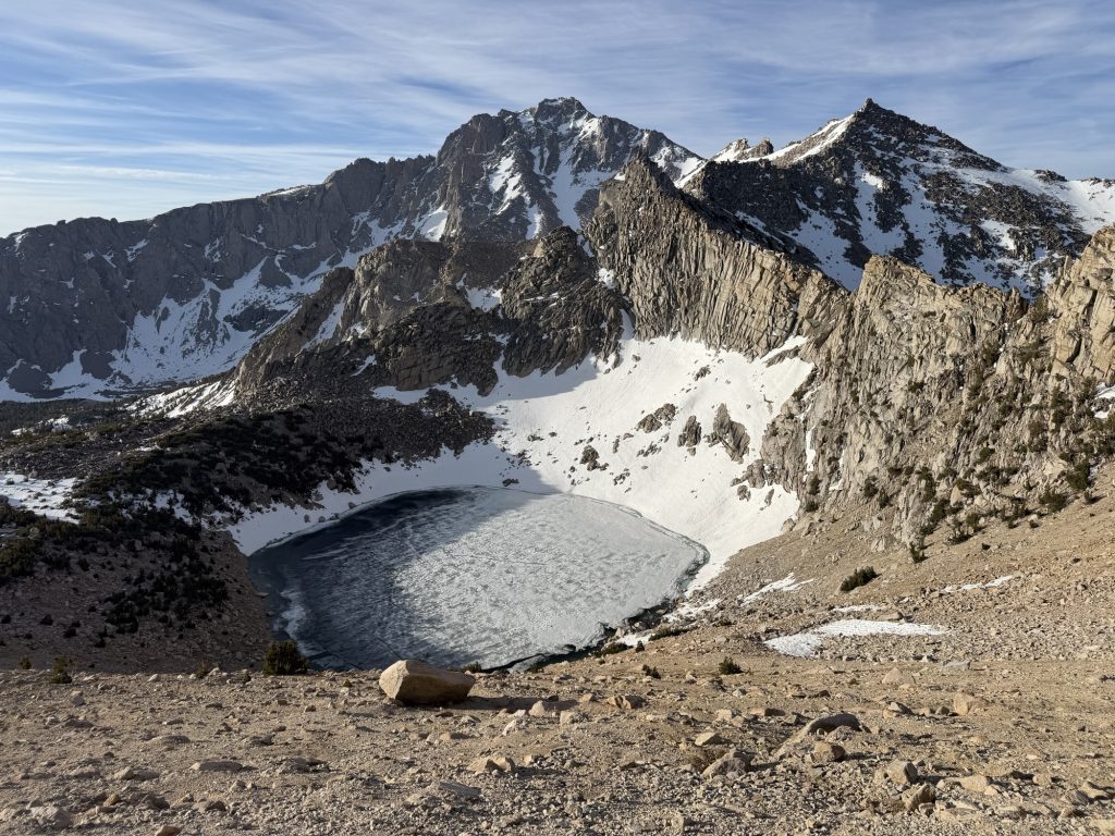
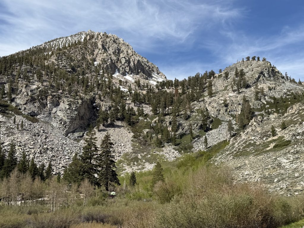
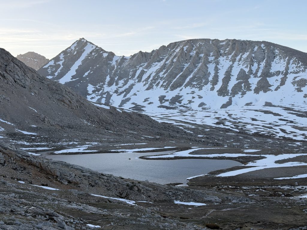
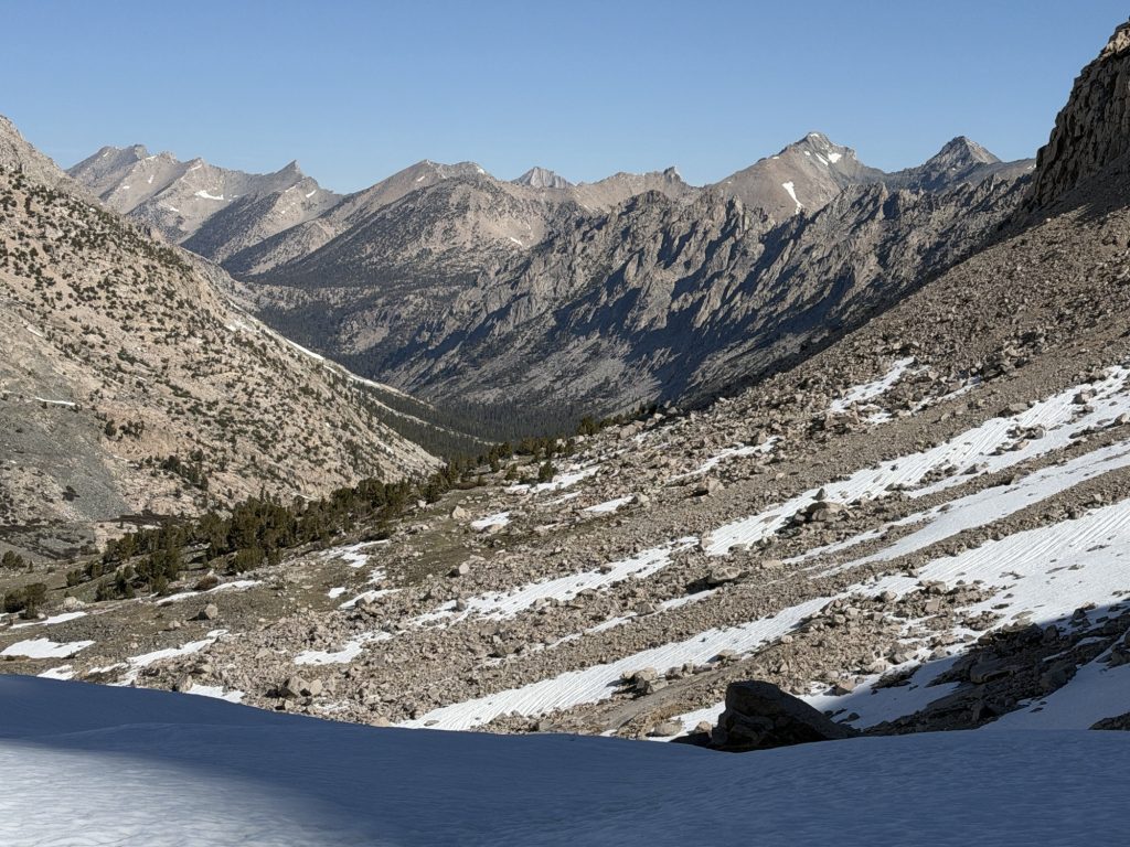
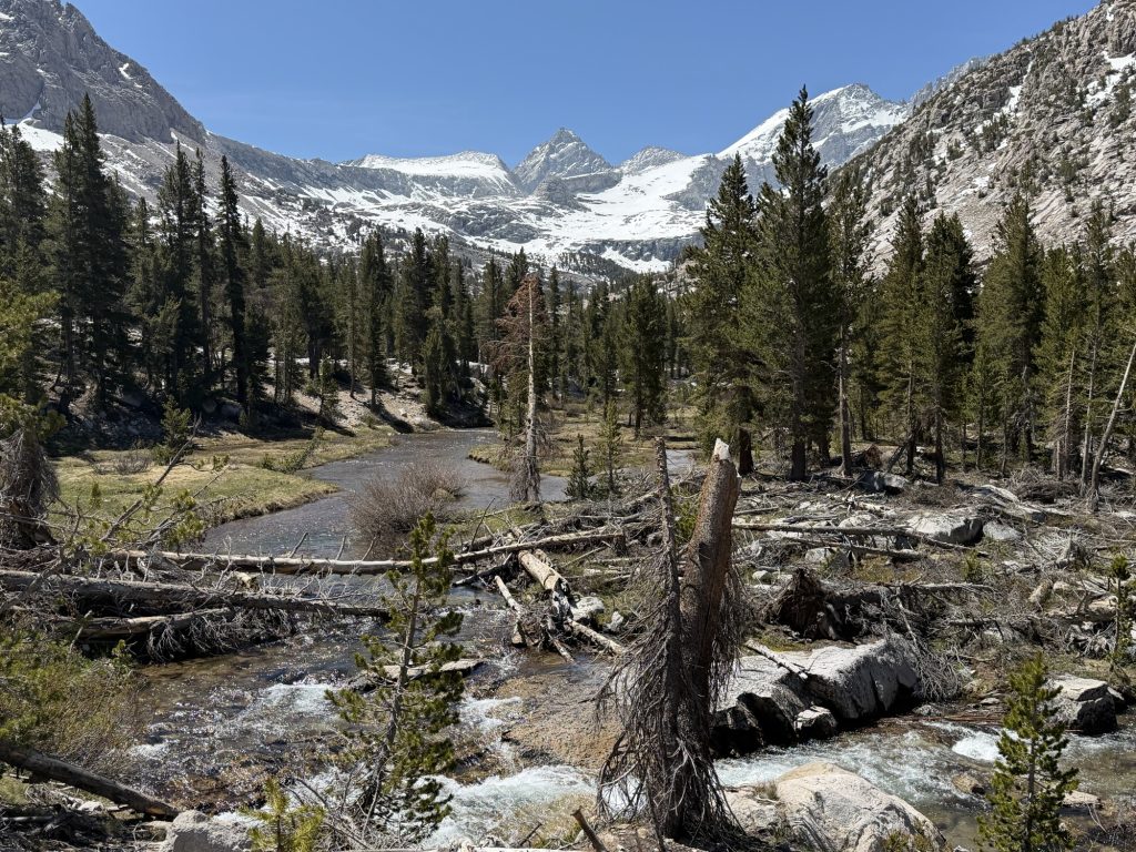
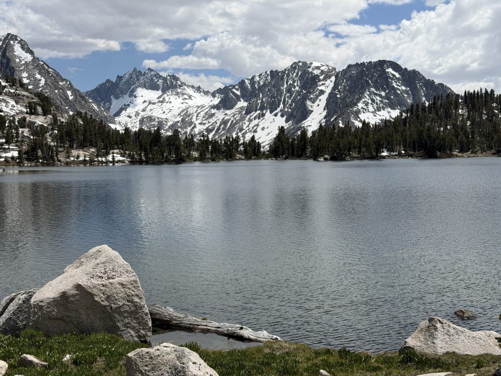
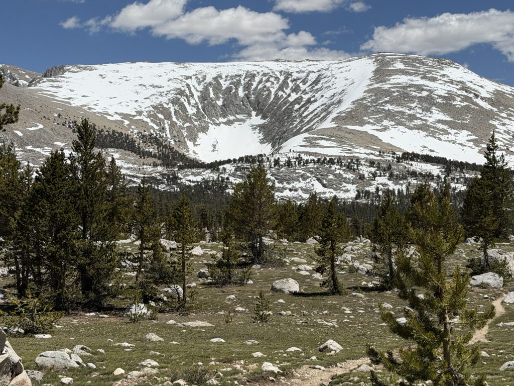
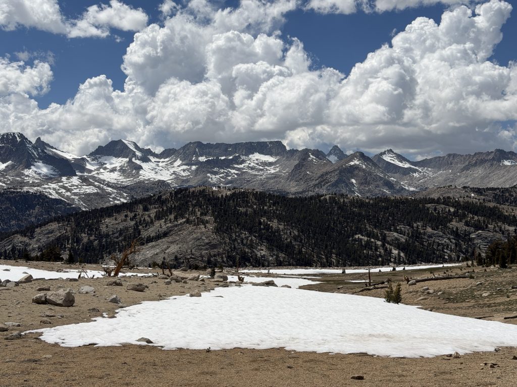
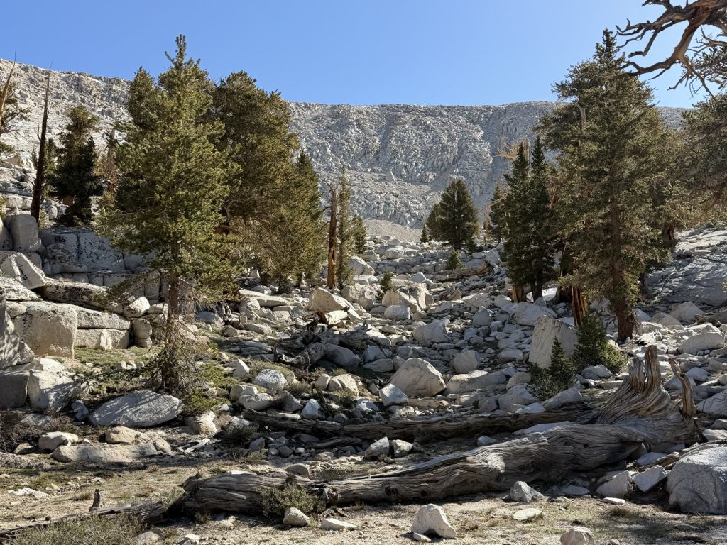
This was completely frozen 2 days ago!
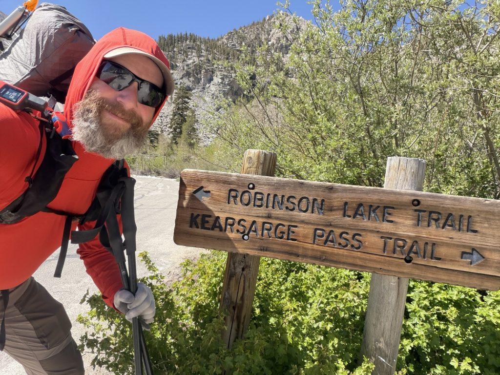
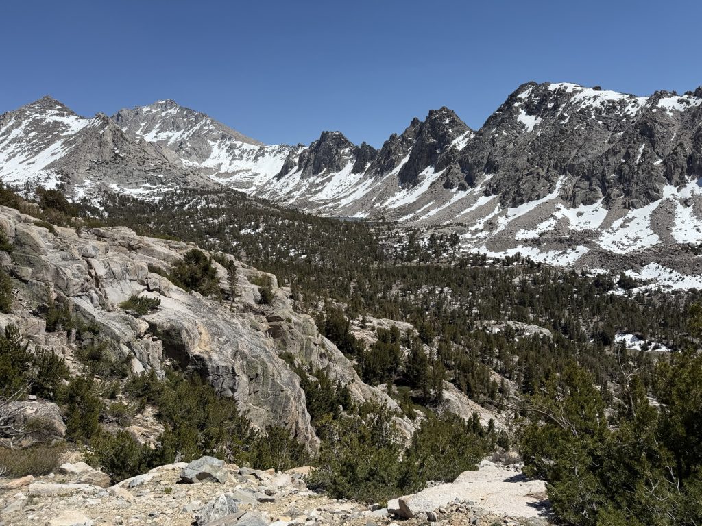
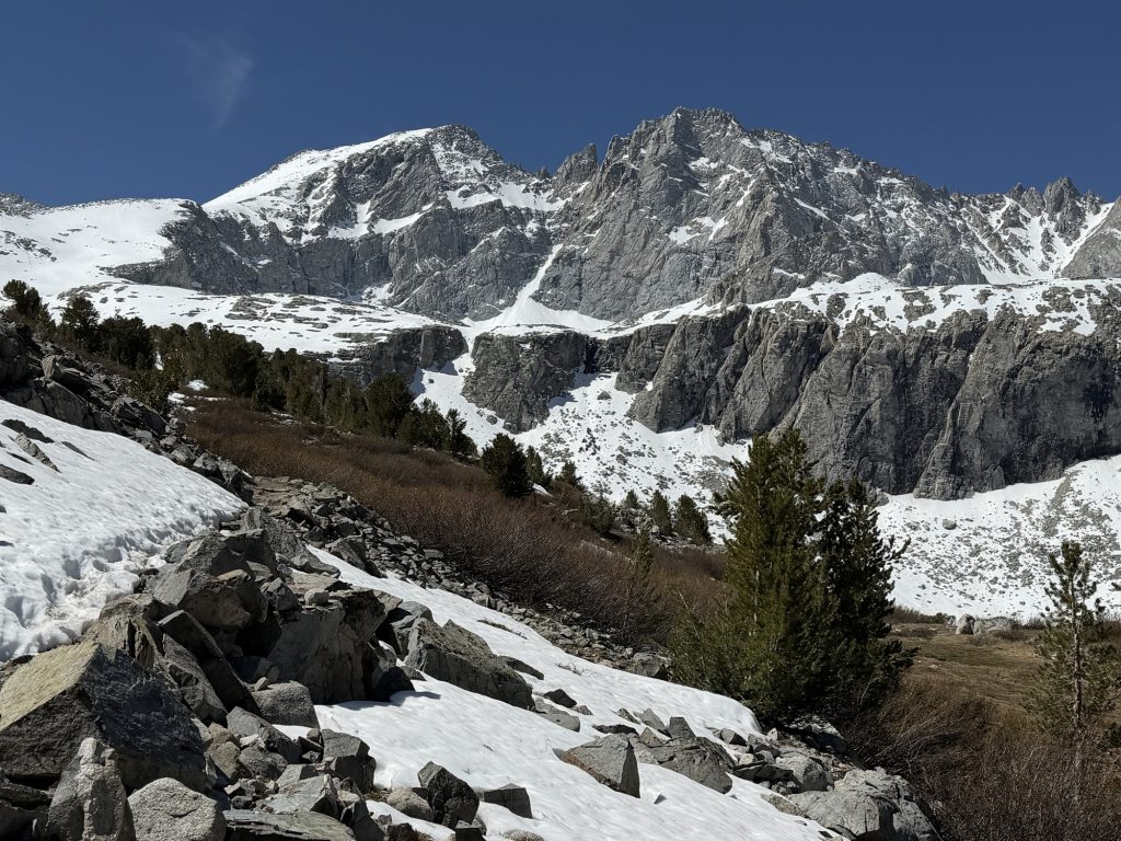
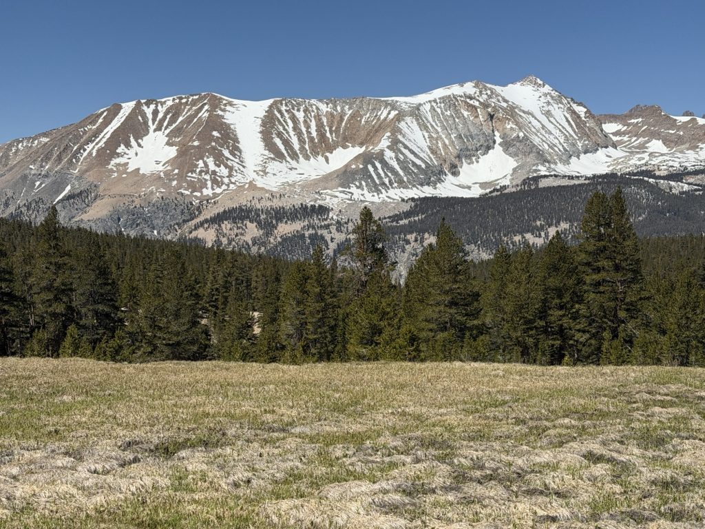
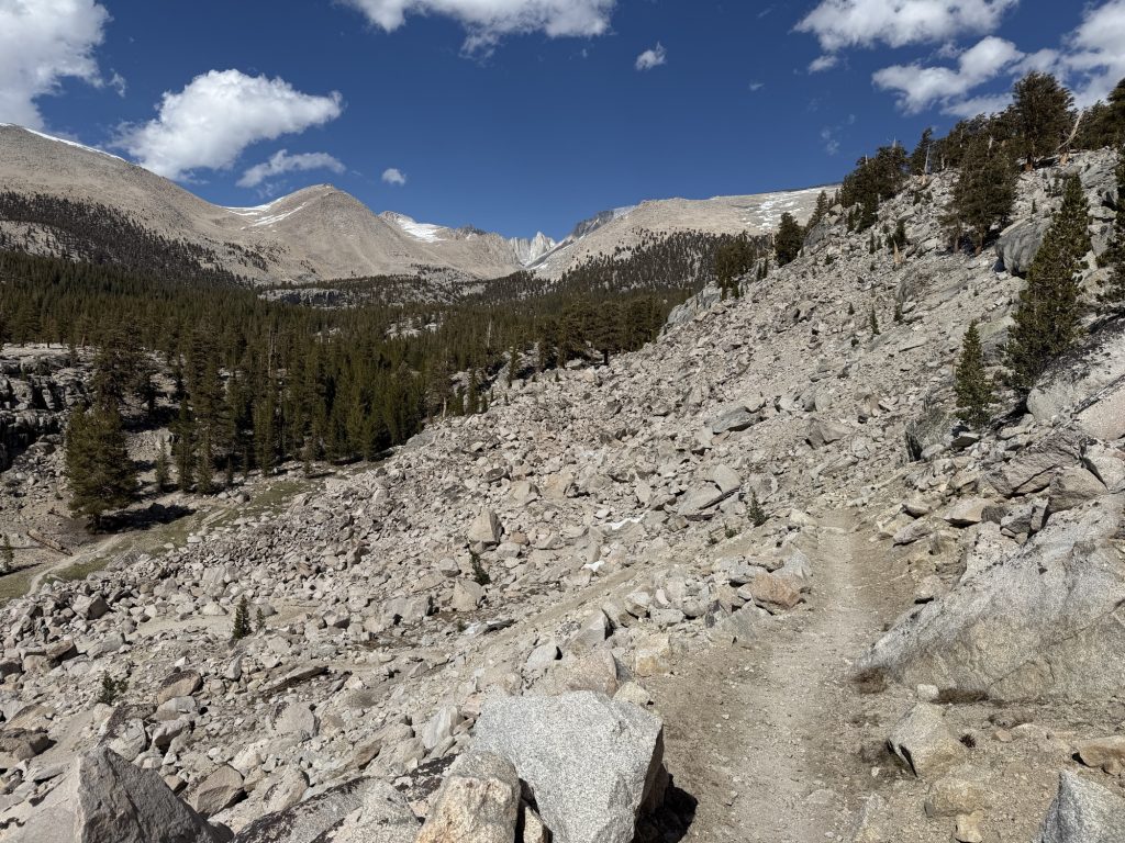
We started on trail around 1030 and it was slow going as we made the 2600 ft climb up to the pass. Everything was very familiar as we had come down this way only 2 days ago but it was remarkable how much it seemed the snow had melted in that time.
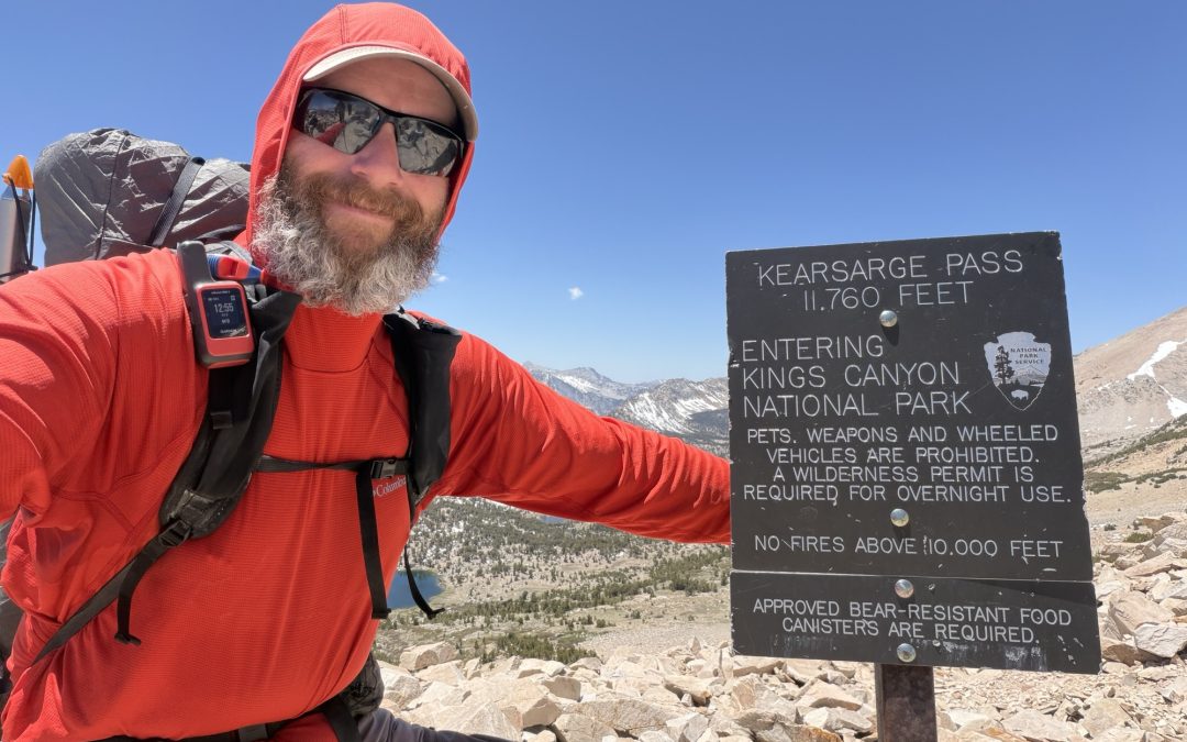
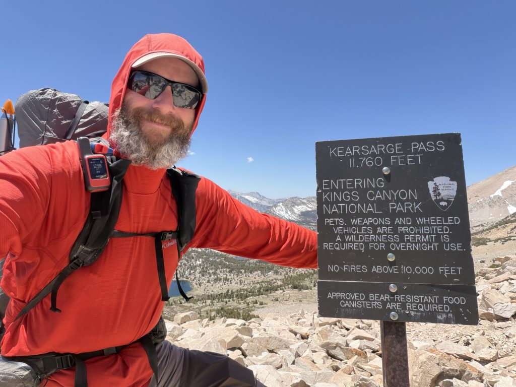
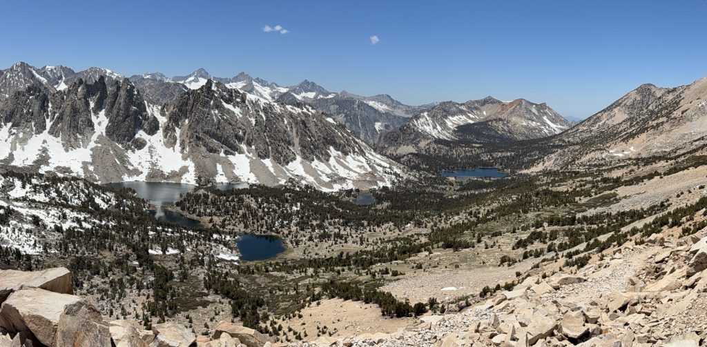
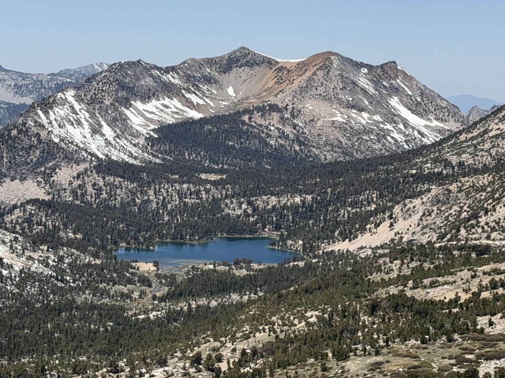
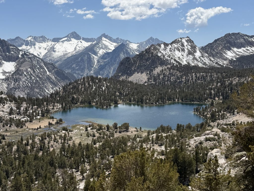
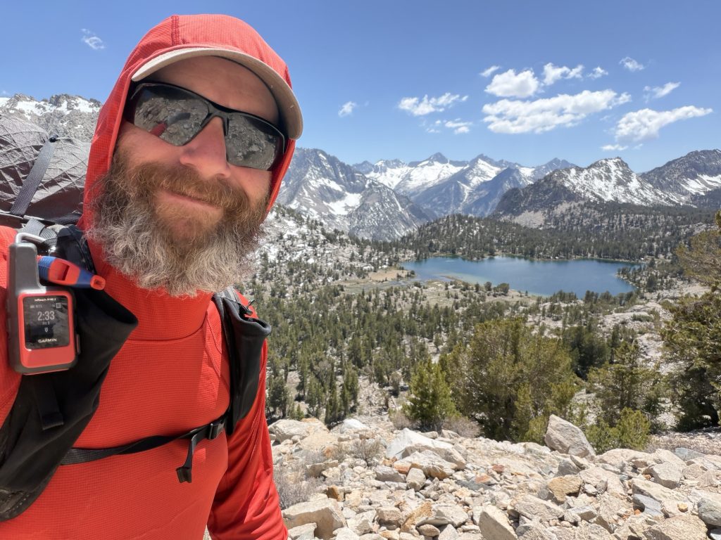
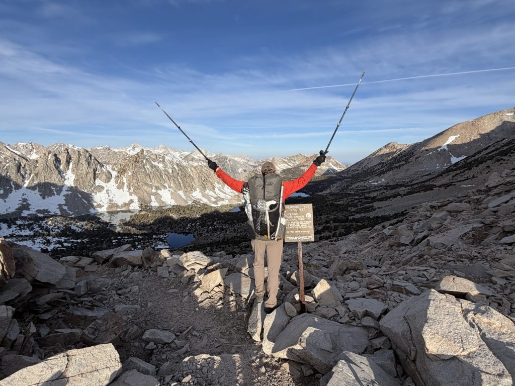
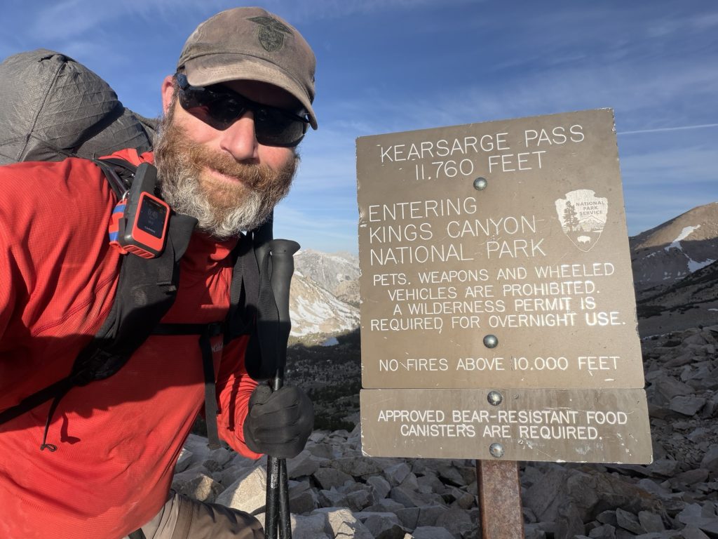
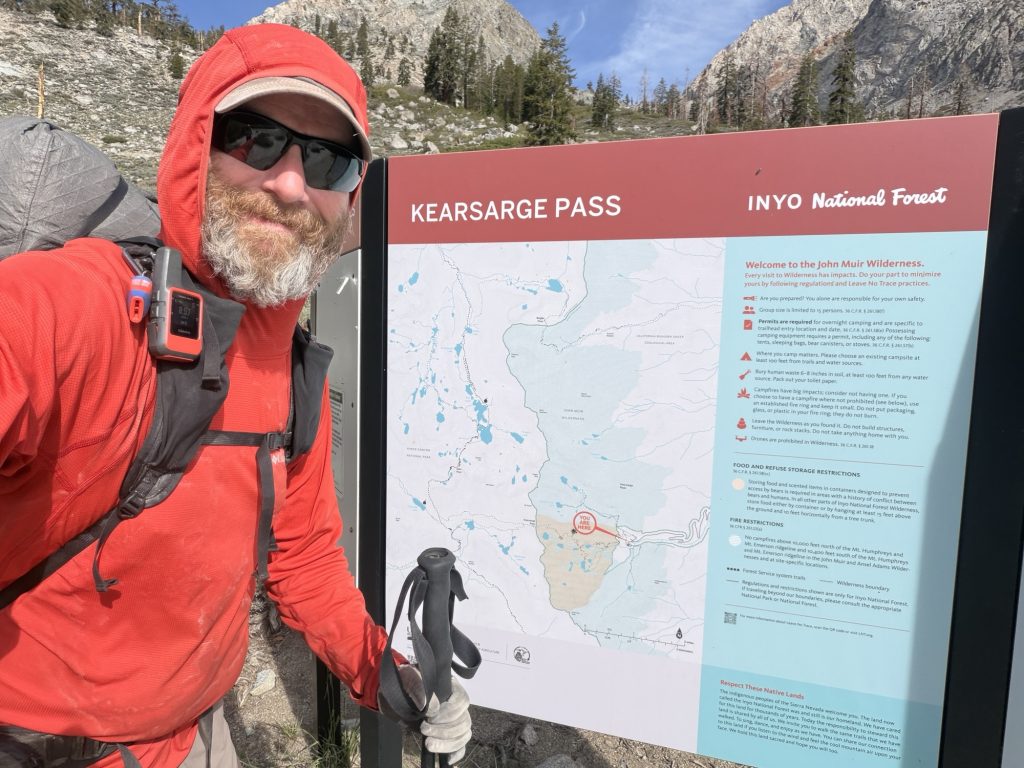
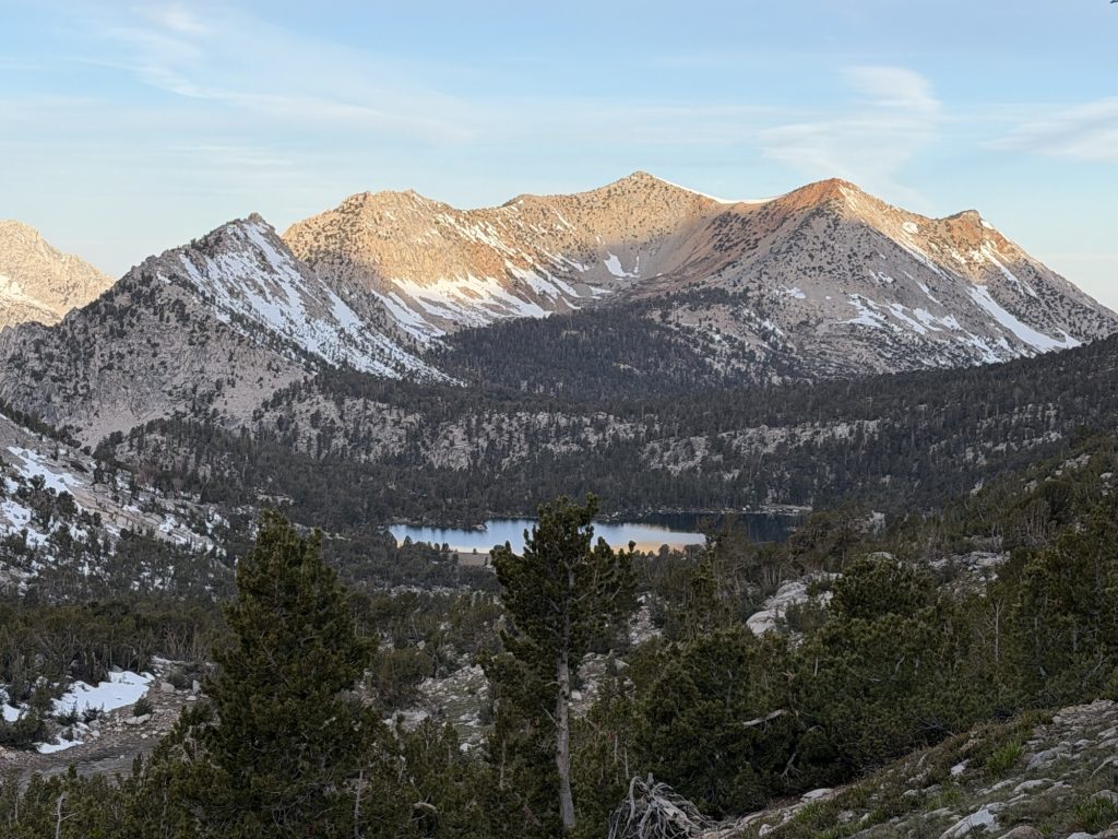
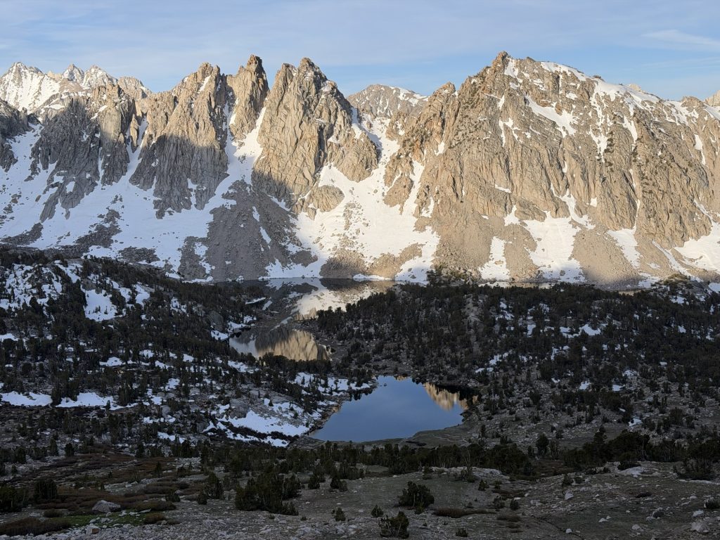
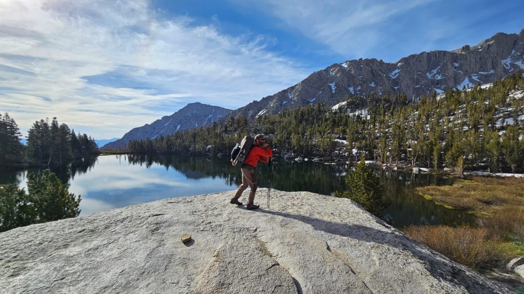
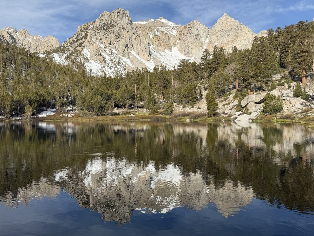
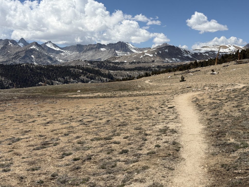
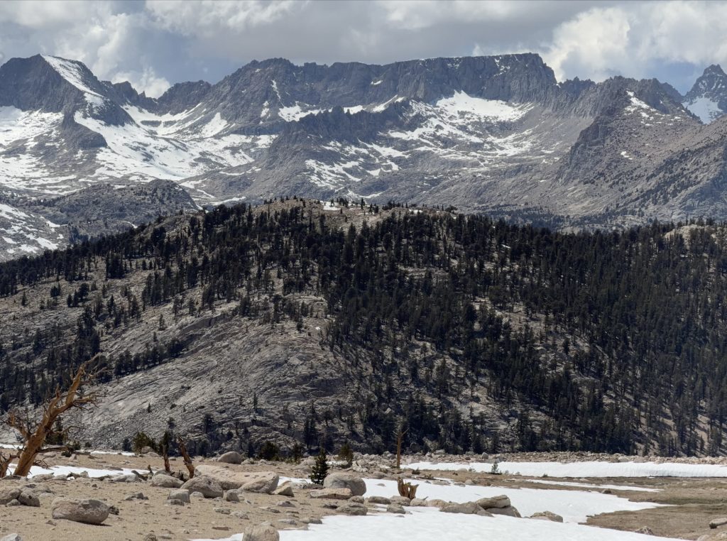
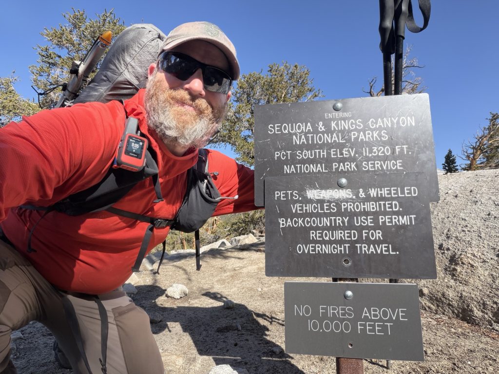
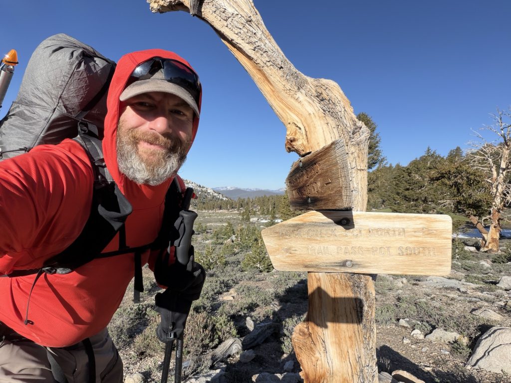
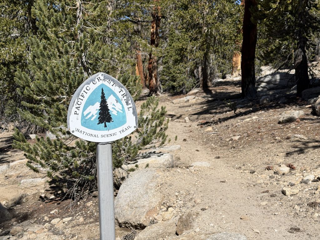
We reached Kearsarge Pass and stopped for lunch. I’ve packed out a delicious deli sandwich for lunch and dinner. I’ve been meaning to pack out town food for the first day when back on trail but I think this is the first time I’ve done it. From here we continued to the PCT. The route we took was slightly different than the route I took out and provided higher views of the lakes below. Before we got too far we were stopped by a Forest Ranger who “checked our permits”. Basically she just asked what the last name was on them as she did not want to make us dig them out of our packs.
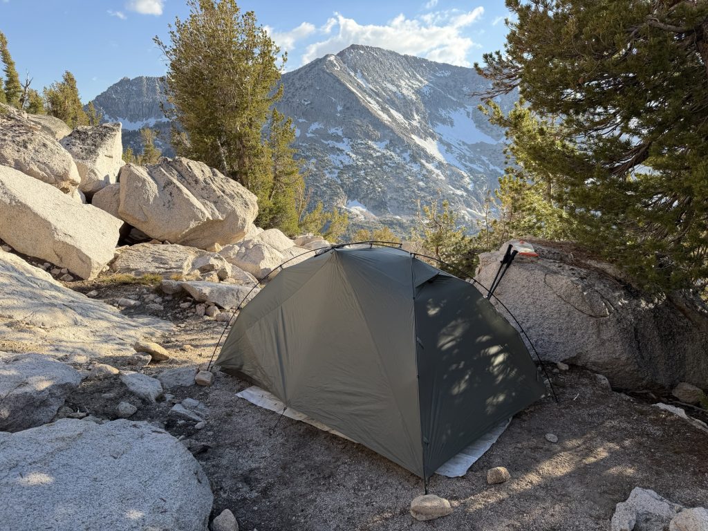
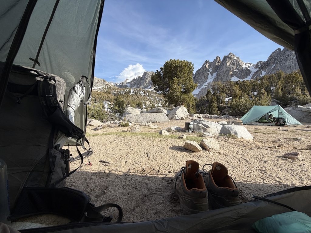
Our campsite tonight has no water nearby so I filled up and carried 4 liters of water from the last stream. Thankfully it was only 2 miles from here because between the extra weight and the elevation going to just over 11000 ft I was near my physical breaking point. We set up camp early and played cards.

From here we only have about 1000 ft over the next mile or so to go over glen pass. The temperature will not drop below freezing tonight so I’m expecting a wet slushy day on the backside of the pass. It’s warm enough that I just saw a Mosquito…
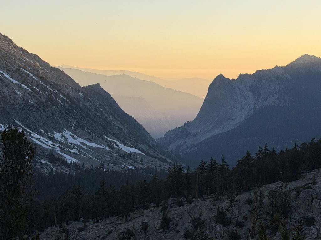
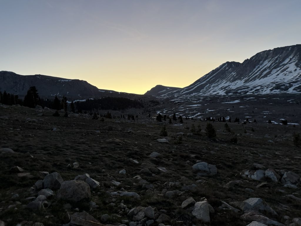
Woke up this morning in this beautiful campsite very excited to get to town. It can be quite the process to get out of the mountains and into one of the nearby towns. PCT hikers typically resupply out of a few common routes. The first real exit is Cottonwood Pass into Lone Pine which we skipped. The next pass is Kearsarge Pass. The closest town from there is Independence but it’s a small town with few services. Most hikers, including our group go to Bishop which is about 50 miles from the trail head making this normally one of the more difficult rides to arrange. Fortunately I was able to use my Garmin Inreach to contact Kieth who will be picking us up at 10:30!
Not only can the ride be difficult but it’s a 7.4 miles hike from the PCT over Kearsarge Pass then down some 2600 ft to the trail head. In the Sierra you can leave every few days if you choose but it takes a lot of time. So balancing food carries, mileage and resupply is difficult. But the call of town food is strong and the pack is light so it was time to giddy up!
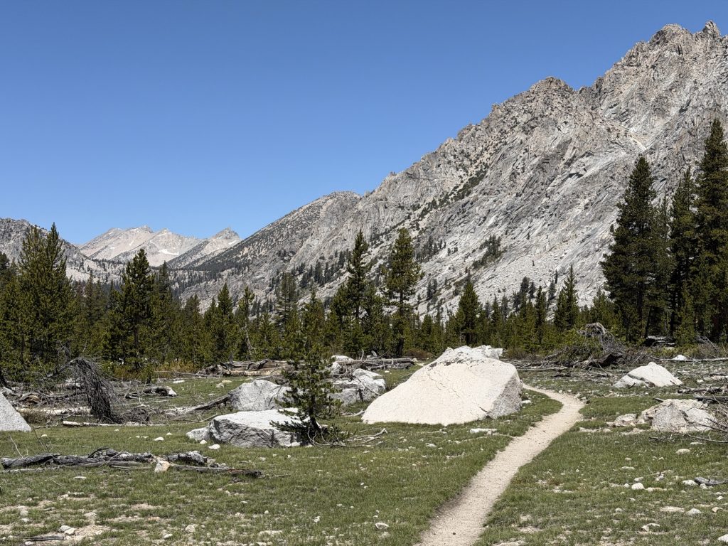
We were on trail by 6 am with way more time than we needed to walk the remaining 5.7 miles to the Kearsarge pass trailhead. We didn’t want to risk being late for our ride and Ness and myself would be up that early anyways.
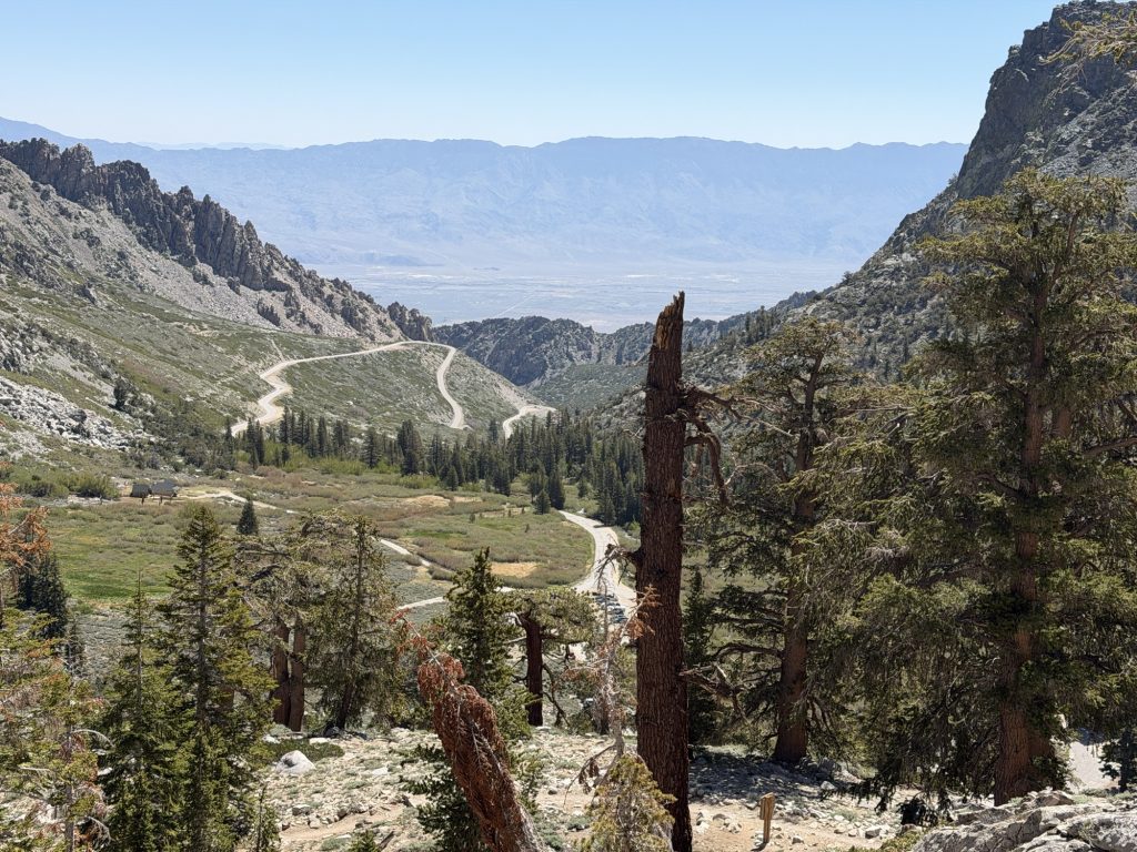
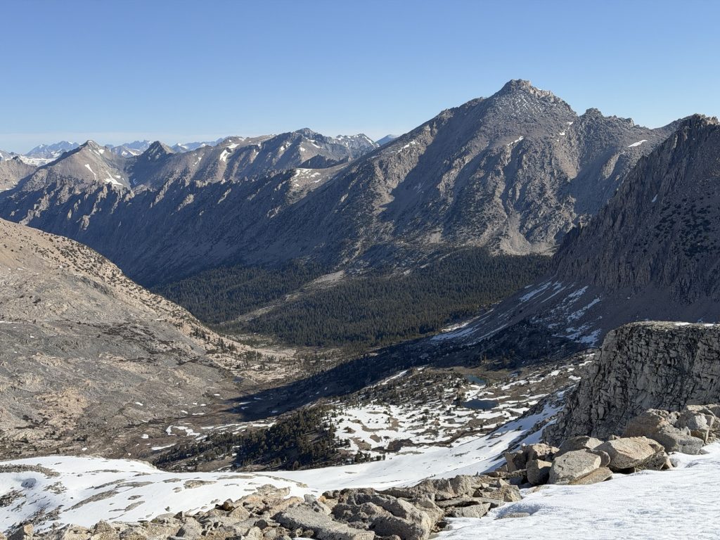
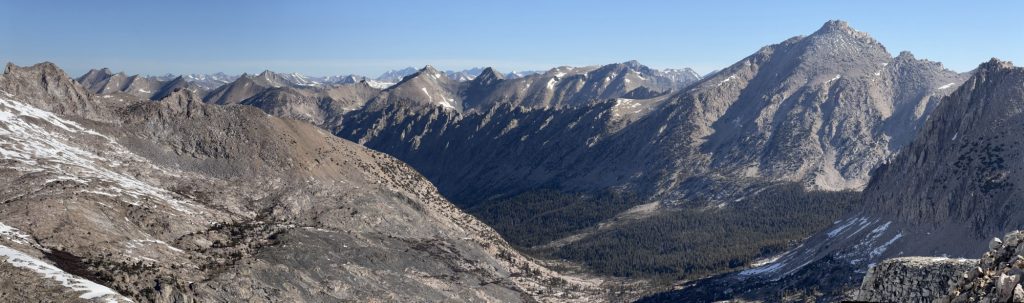
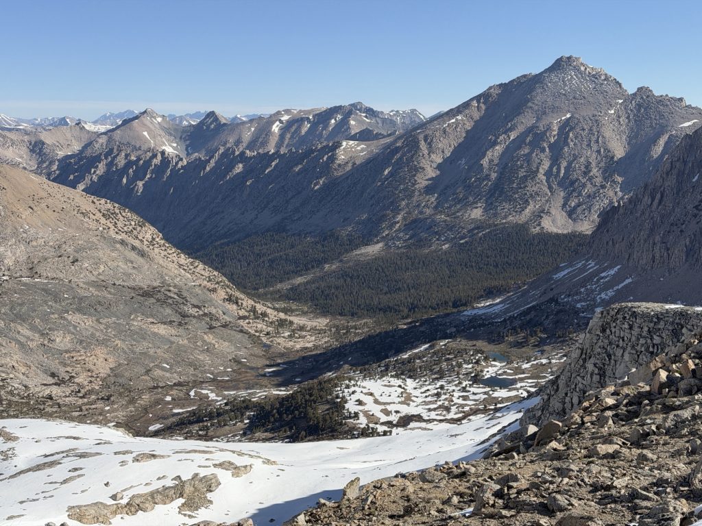
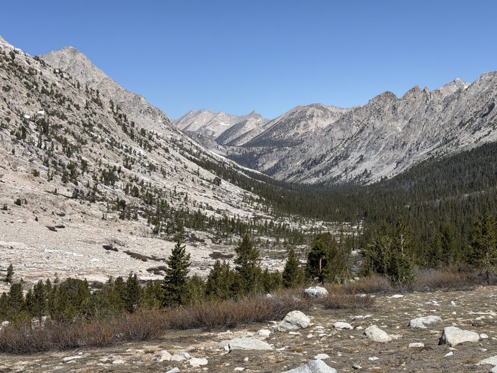
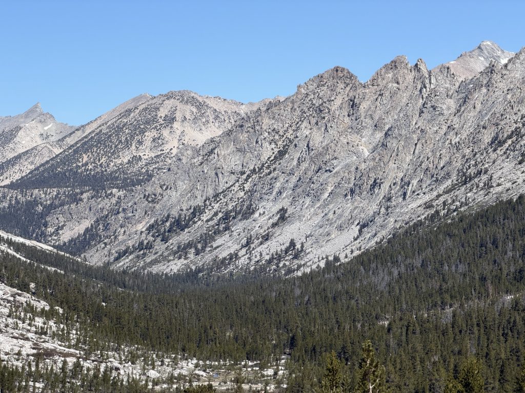
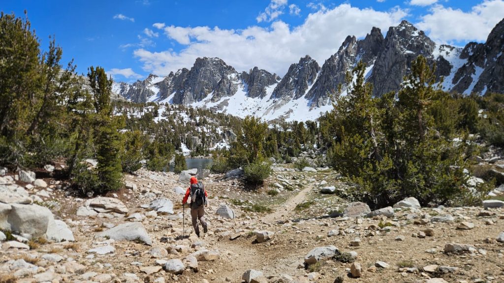
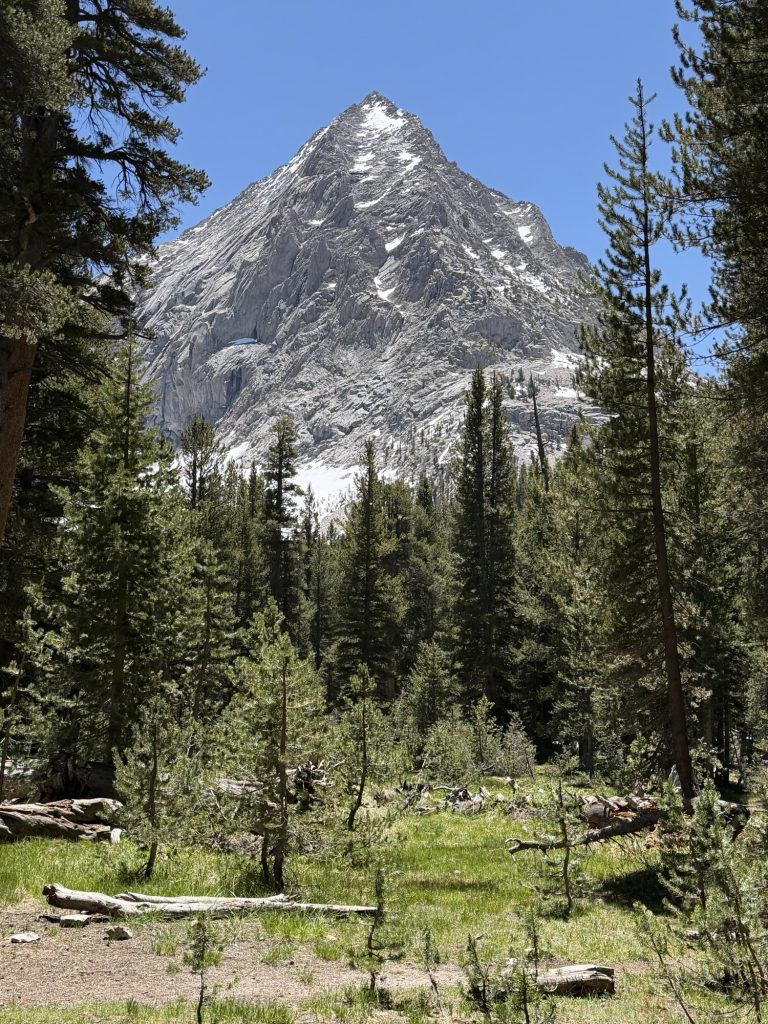
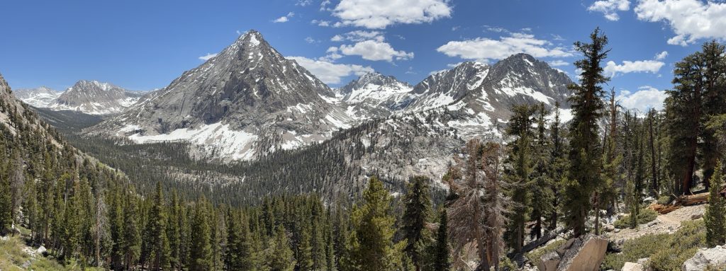
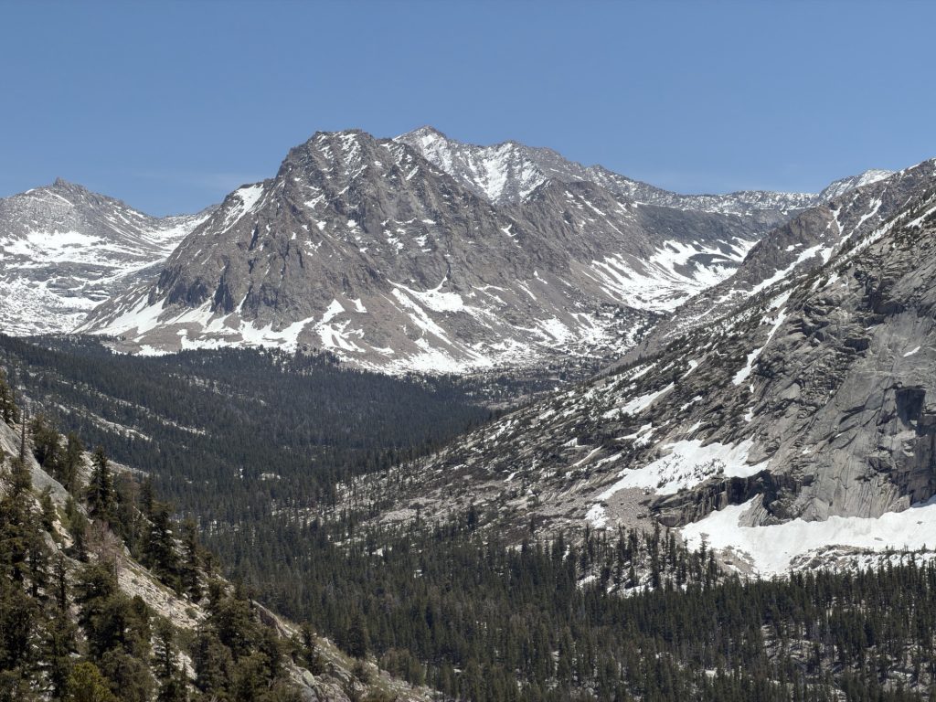
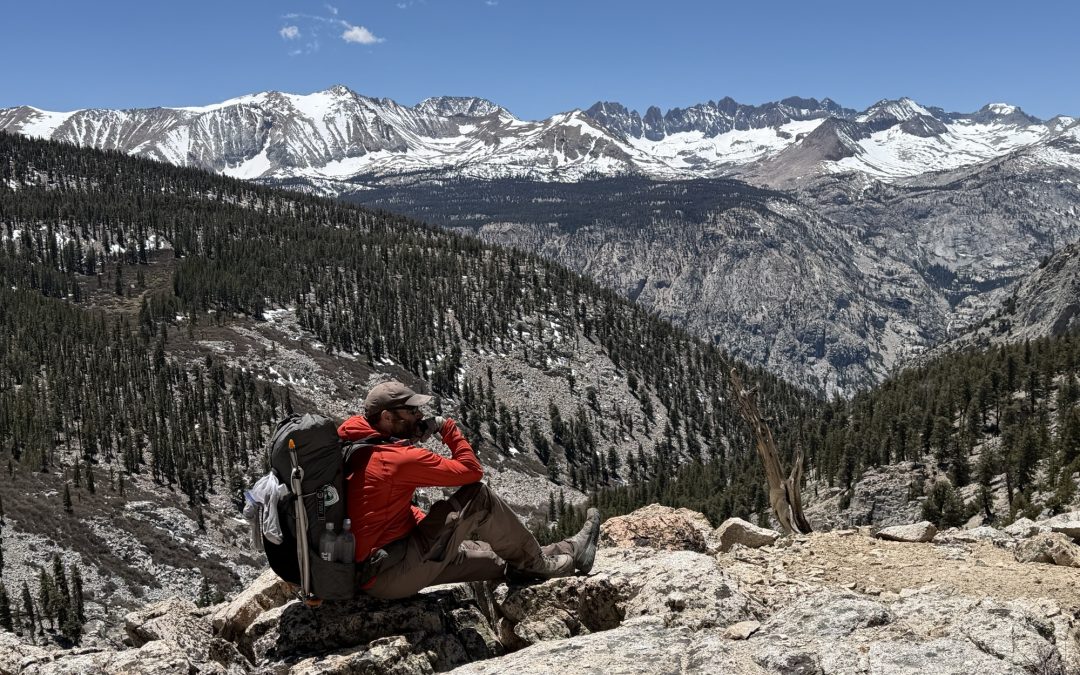
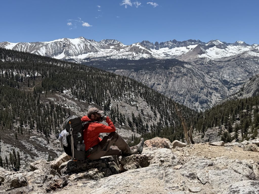
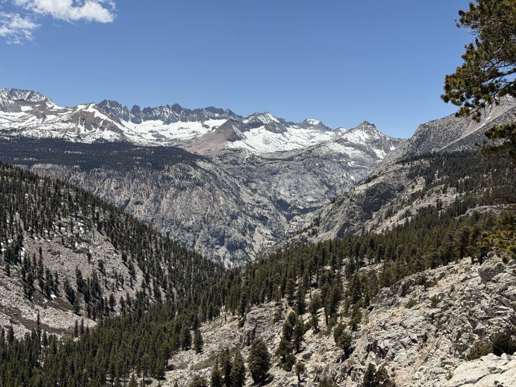
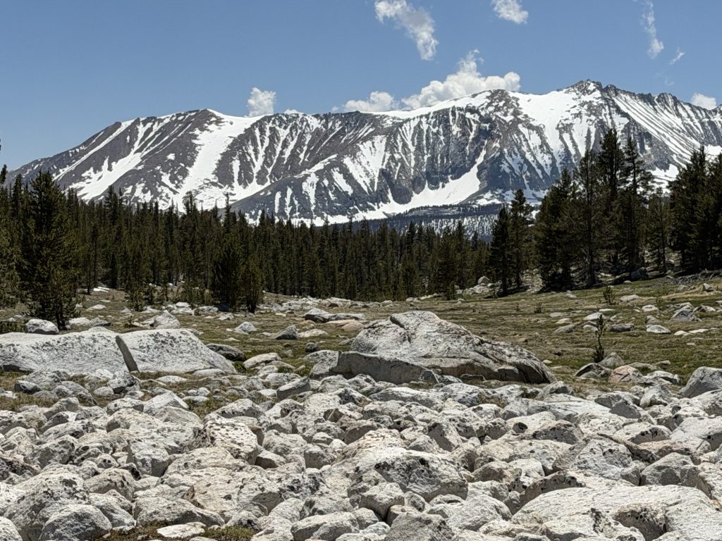
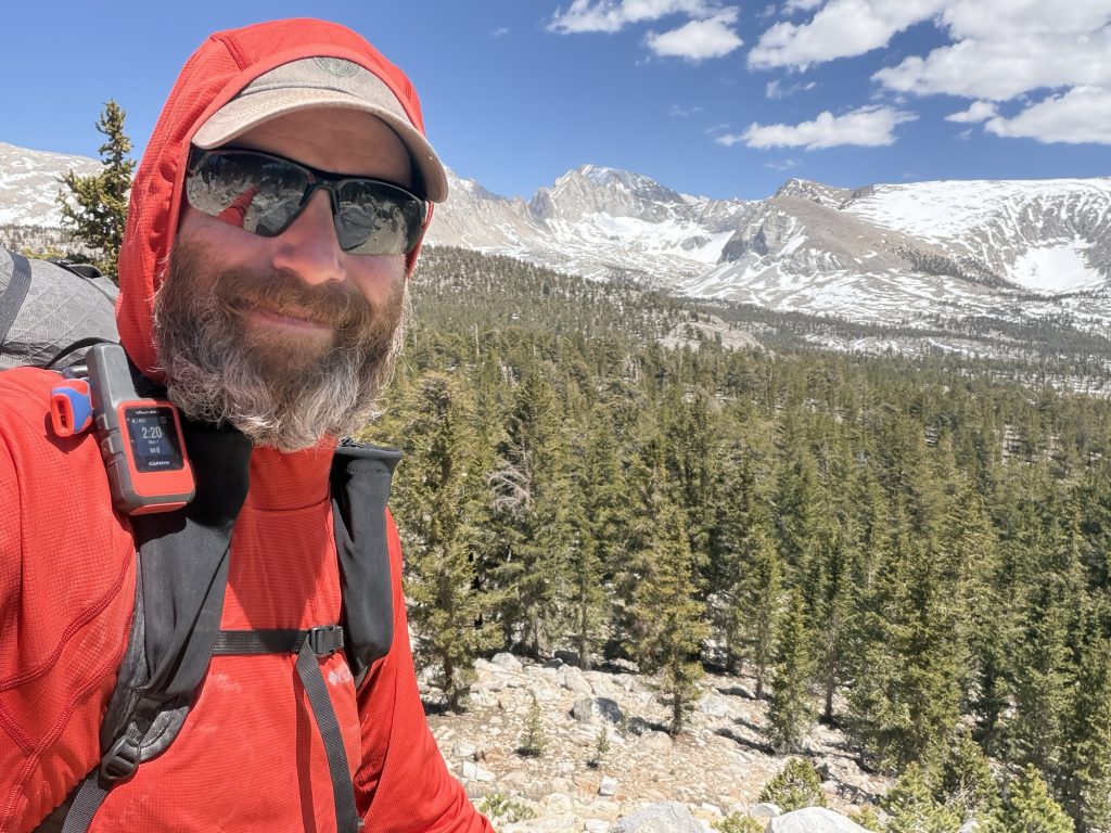
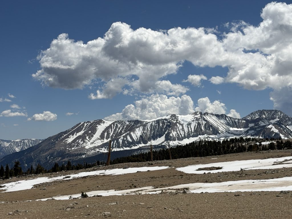
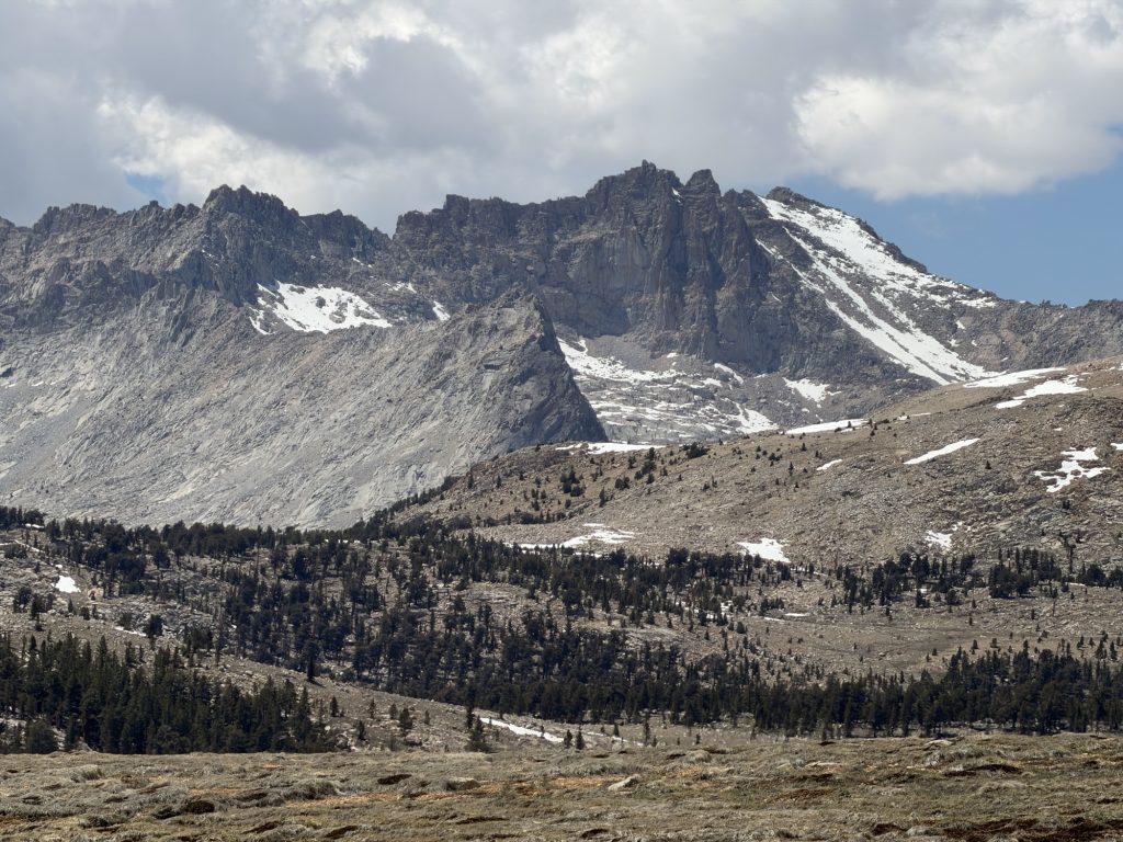
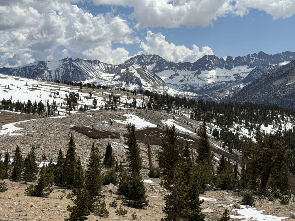
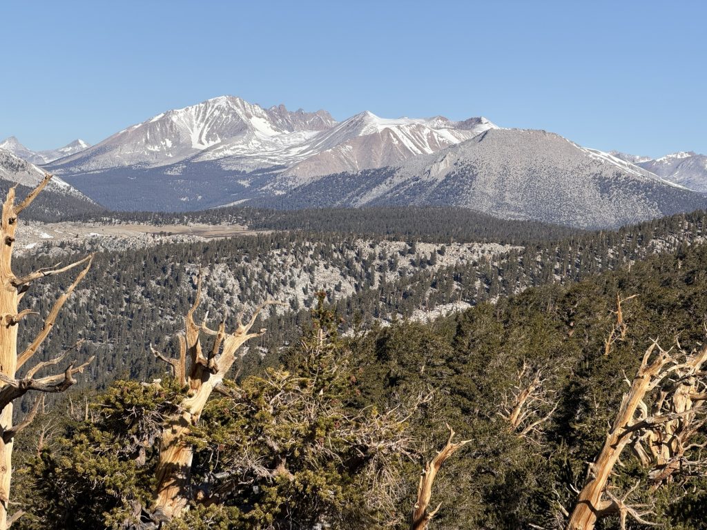
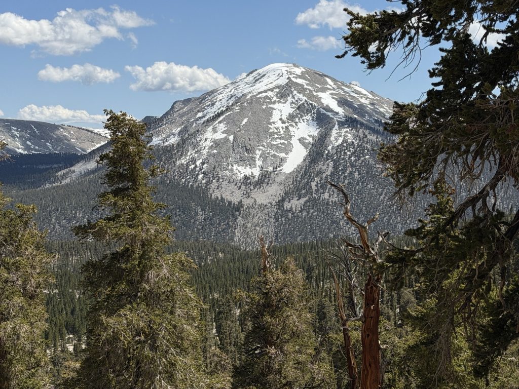
The hike up and over Kearsarge Pass provided great views into the Sierra behind us and eventually the valley on the other side. It was mostly well graded but after a week in the mountains we were tired and moved slower than we aught to.
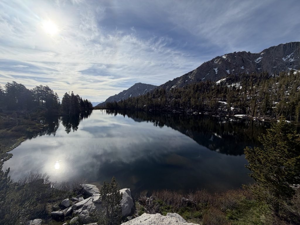
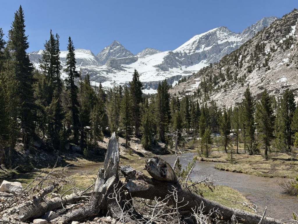
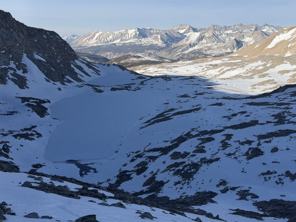
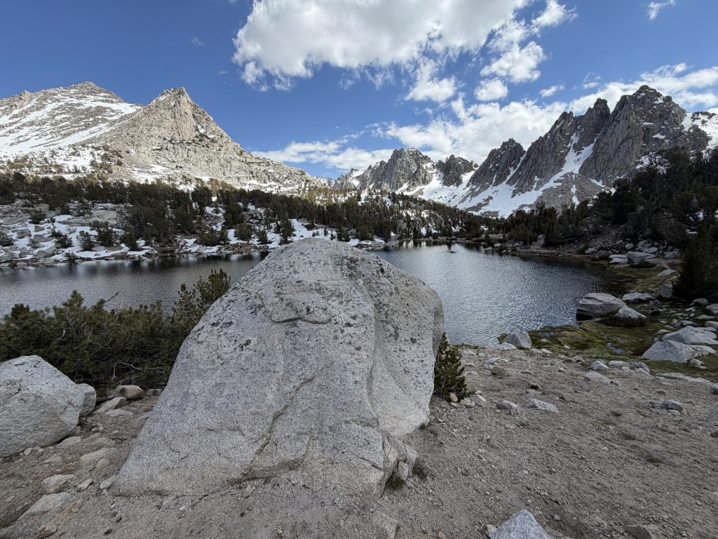
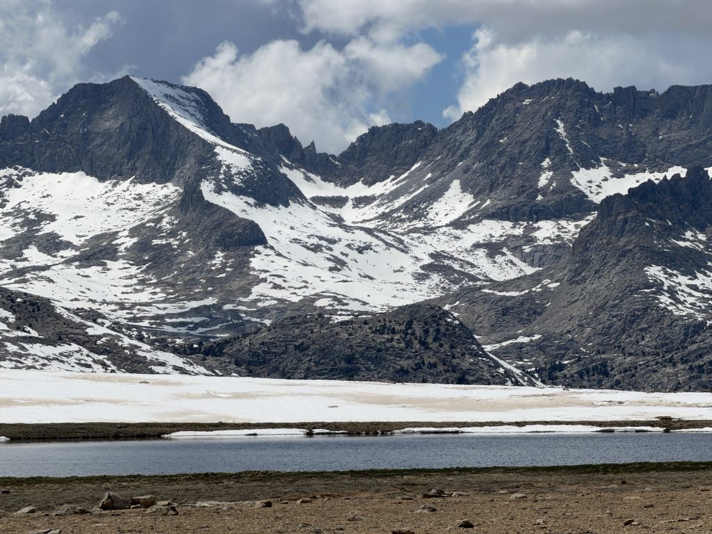
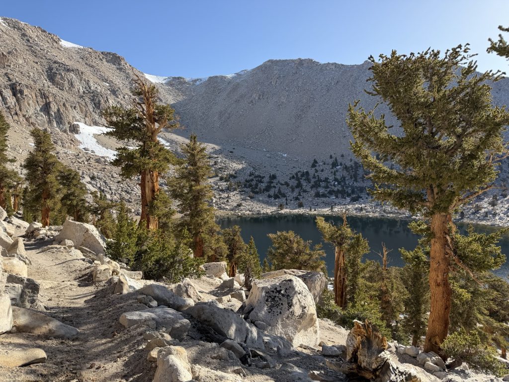
The way down is really well graded thankfully because we will have to make this 2600 ft climb with a full 7 day resupply in two days. Just over the pass we passed a frozen alpine lake. As we descended the temperatures got warmer the lakes now unfrozen. We passed several day hikers and several people camping at the various lakes down the trail.
We arrived at the parking lot with well over an hour to spare. We met a woman who was driving a jeep with a camper trailer who is supporting her husband on the PCT. Man it would be nice to have a camper waiting for me at all the trail heads! She gave us some cookies and water we didn’t have to filter and we chatted while we waited for our ride.
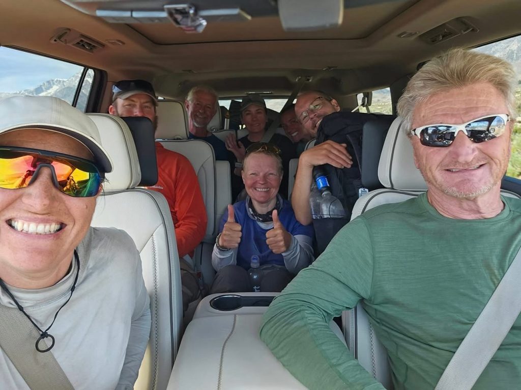
Keith arrived at 1000 dropping off his group of hikers and picking up 7 of us to bring to Bishop. This is now the Third time I have met Keith and I’m sure I’ll be lucky enough to meet him again. From the parking lot down to the valley below it’s a 5400 ft elevation drop down some very twisty turney mountain roads during which the temperature increased by near 12 degrees and my ears poped
More than once. The ride to Bishop with the Sierra to the left and Inyo Mountains to the right was incredibly beautiful. Some day I’ll have to take a road trip down here.
If your ever in Bishop I highly recommend the Erick Schat Bakery and Wonderland Chinese food! After we ate we settled into the motel 6 and were later joined by ReRoll and Yukon. Putting 4 people in a room makes it a lot more affordable although slightly less comfortable. Let me tell you the smell of a room with 4 thru hikers in it is something else.
Now for a good night sleep and what I know will be a very busy zero day.
PCT Day 59 – Tyndall Creek (775.9) to Kearsarge Lake via Bullfrog Lake Trail.
June 2, 2026
Total PCT miles: 13.7
Non PCT miles: 1.7
Total: 15.4 miles / 24.8 km
Total elevation gain: 3999 ft
Total elevation loss: 4009 ft
Steps: 38009
Today was the day we climbed Forester Pass, the highest point on the PCT at 13120 ft. It’s early season in the Sierra which means there is still plenty of snow on the approach and even more on the backside of the pass. This is why I have been carrying an ice axe (that I hope not to need) and microspikes (which I will definitely require).
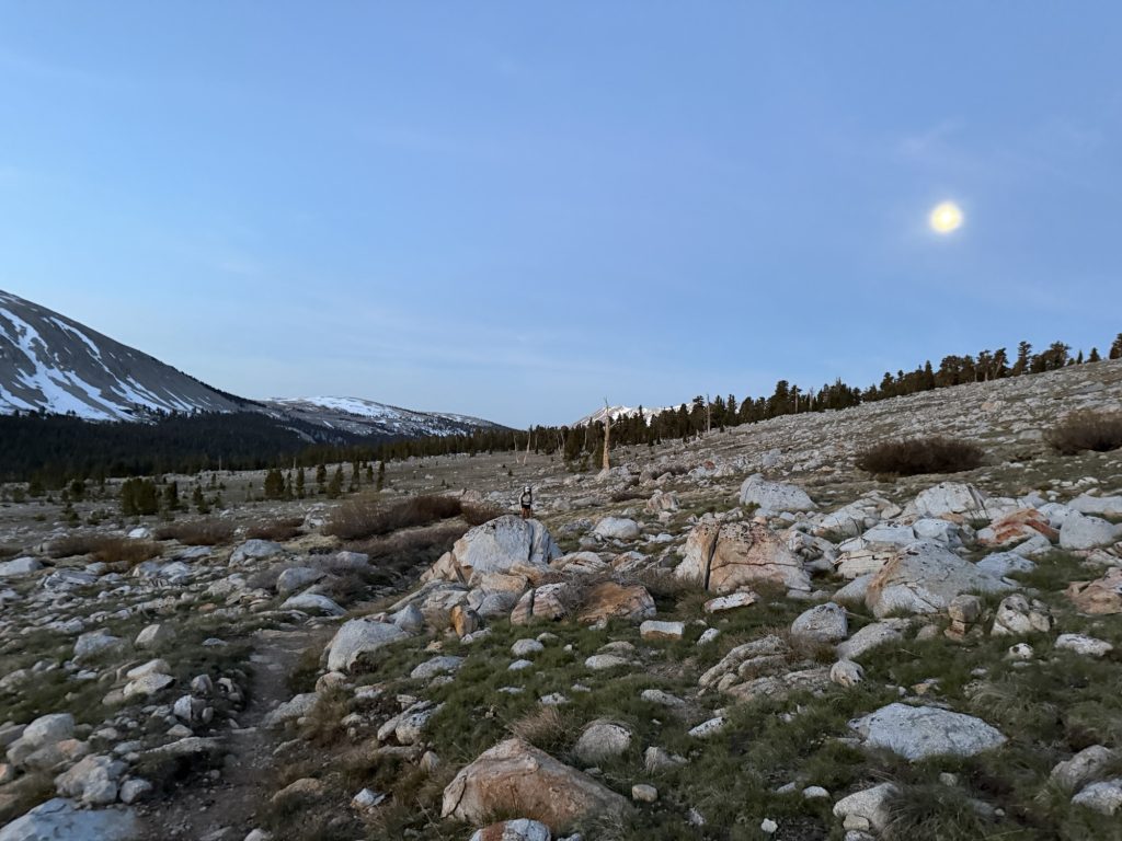
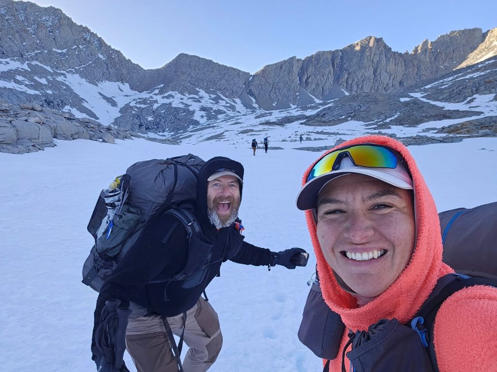
The best strategy for any snow covered pass is to summit early. This provides firm snow for microspikes and prevents postholing. Ultimately it makes for a much more pleasant and less energy sucking journey. I was up at 0400 after a not so great sleep and our group set off at 0500 for the 4.7 mile, 2000 ft accent. The almost full moon providing more than enough light to guide our way and paint the surrounding mountains in a pale peaceful wash.
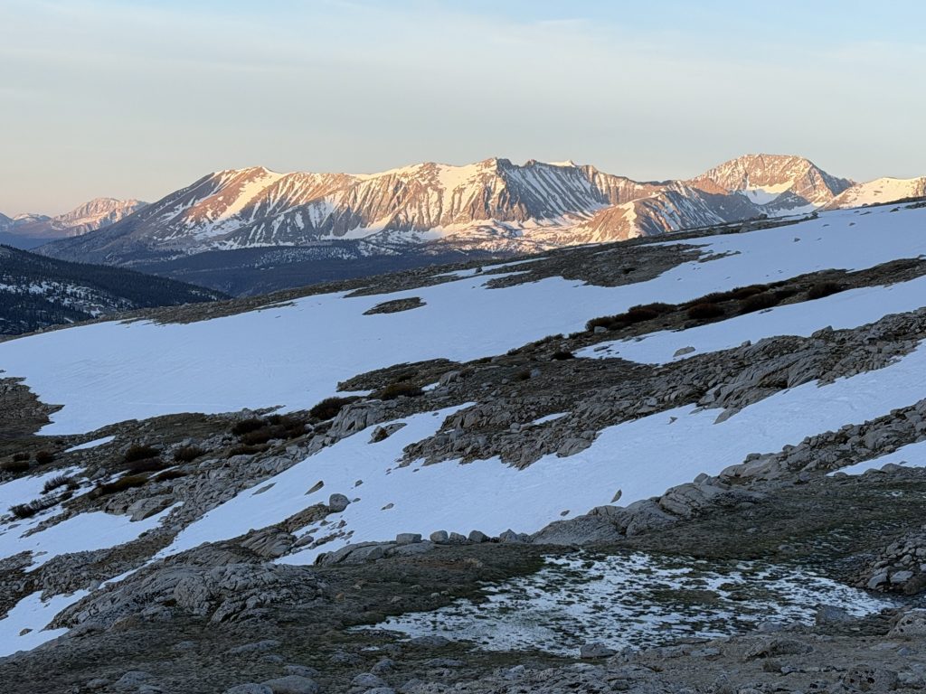
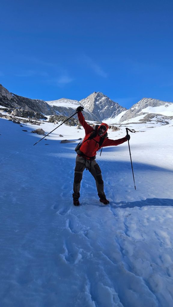
The first 1000 ft was a very gentle accent occasionally walking across patches of snow and ice As the view of the switch backs and saddle came into view. Behind us the alpine glow of the rising sun started to illuminate the mountains we had hiked passed yesterday. The switch backs up to the the saddle and the remaining 1000 ft of elevation were 50% snow covered and 50% bare requiring microspikes for safety.
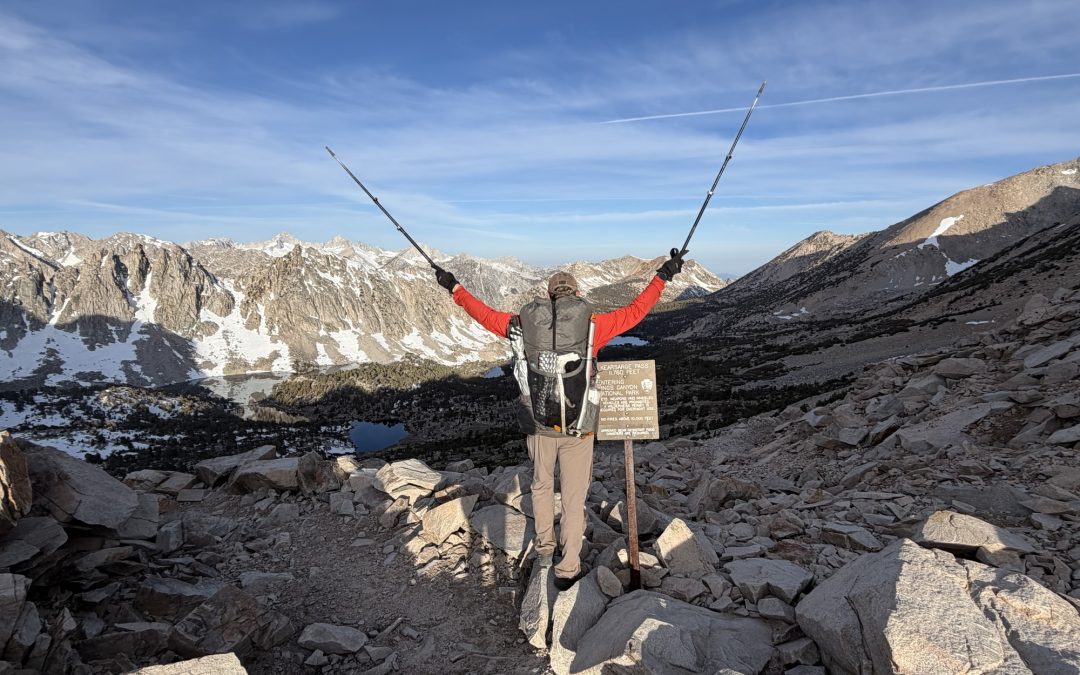
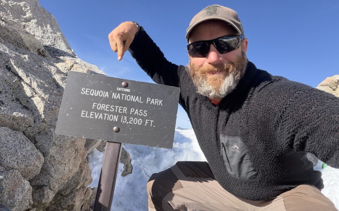
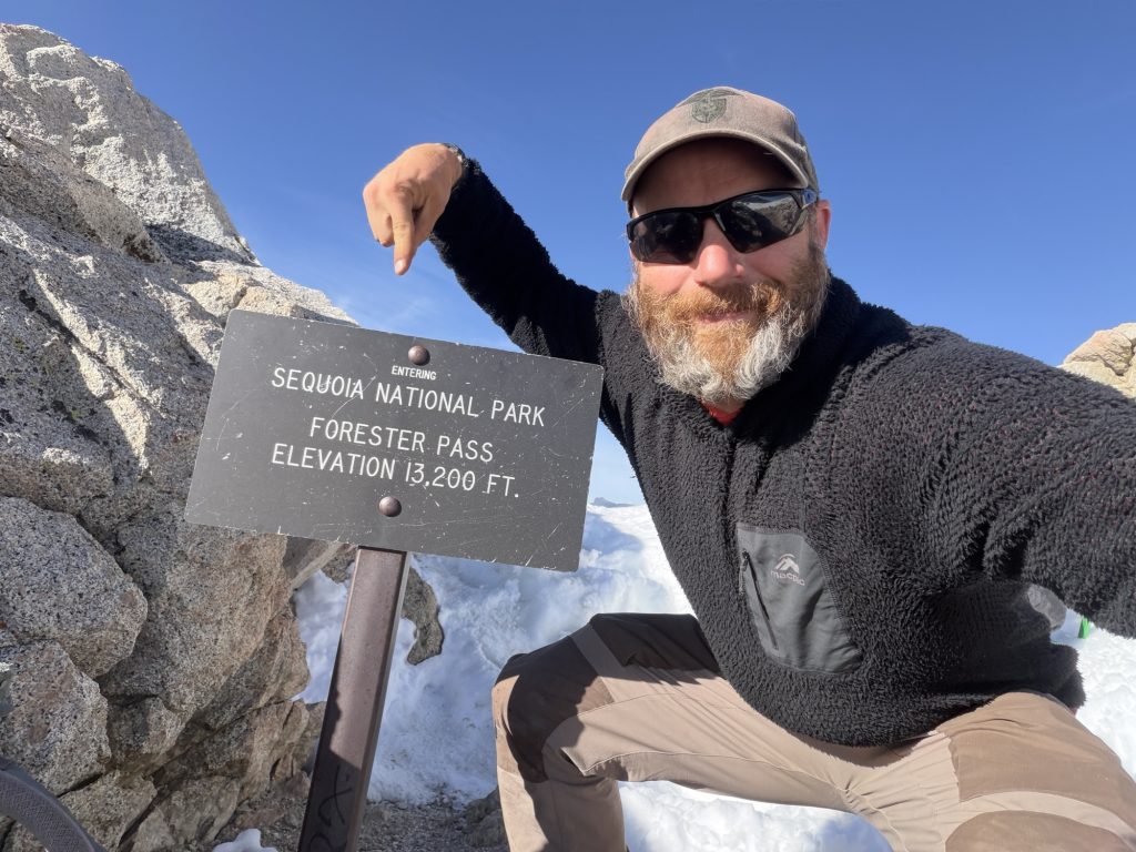
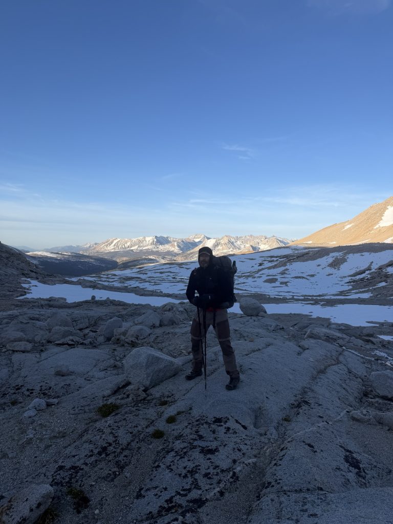
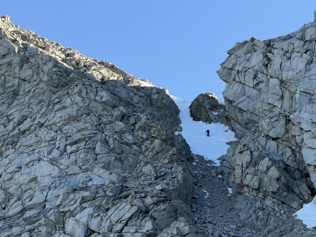
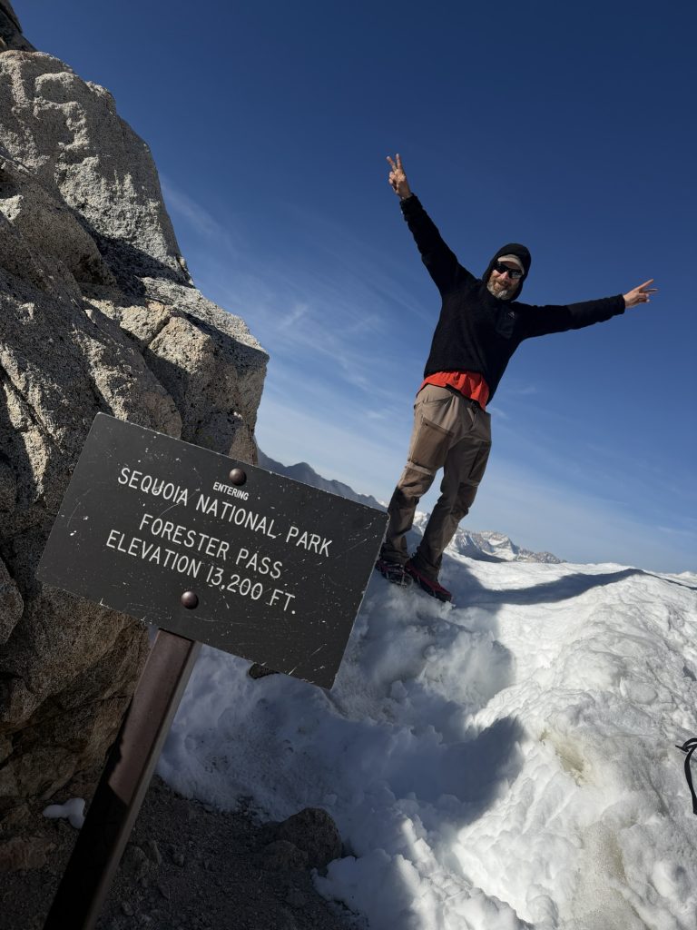
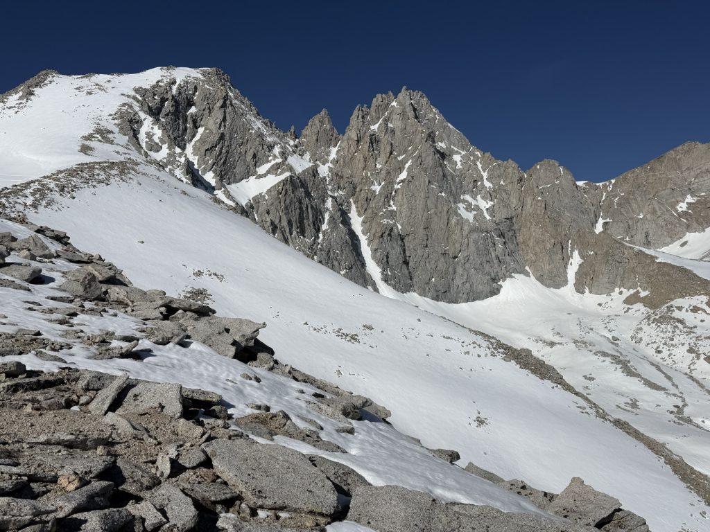
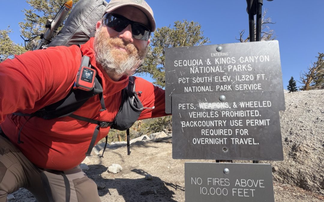
Now at over 12000 ft breathing became more and more laboirious and my steps became shorter and shorter as I slowly approached the sketchiest part of the journey. Forester Pass is known for its ice chute that in the early season covers about 20 meters of trail. One fall here and you’ll skid down the ice a few hundred feet before hitting rocks. This is why I have been carrying an ice axe. To help me cross safely or self arrest before hitting the rocks should I fall. The conditions today didn’t really require me to use the ice axe, I could have probably crossed just as safely with only my trekking poles but I had the axe so I used it anyways crossing without much hesitation. A final switch back and there I was on top of Forester Pass the highest part of the PCT. Behind me Seqoia National Park and before me Kings Canyon National Park. It’s all “downhill from here all the way to Canada”.
The mountains and Kings Canyon before me were absolutely breath taking. The trail gently decends into the canyon below. The first few miles all covered in snow. Thankfully we had reached the pass at 0745 and the sun had yet to really soften the snow so no postholing was to be had. There were good boot tracks to follow including some going the wrong way. The maping feature on my watch was very helpful in ensuring i remained on trail.
As I decended into the canyon the temperature increased and my breathing was much improved. The most challenging part was watching my step instead of the scenery around. We stopped a few times to eat, rest or just admire the views. On one of these breaks I noticed that my hip belt on my pack is holding on by a thread. Hopefully it makes it until I can replace it in town.
From the bottom of the canyon starts a real steep climb up to the Bullfrog lake trail. On the way we met a hiker who had left Kennedy Meadows two days earlier and hiked through the entirety of the winter storm. His story was wild and I’m glad that we had waited out the worst of it.
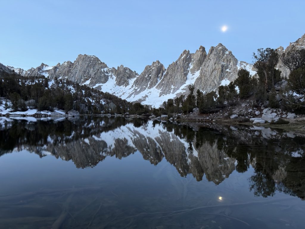
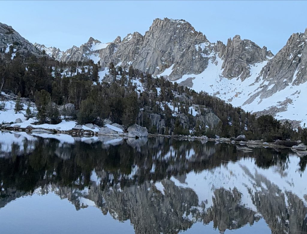
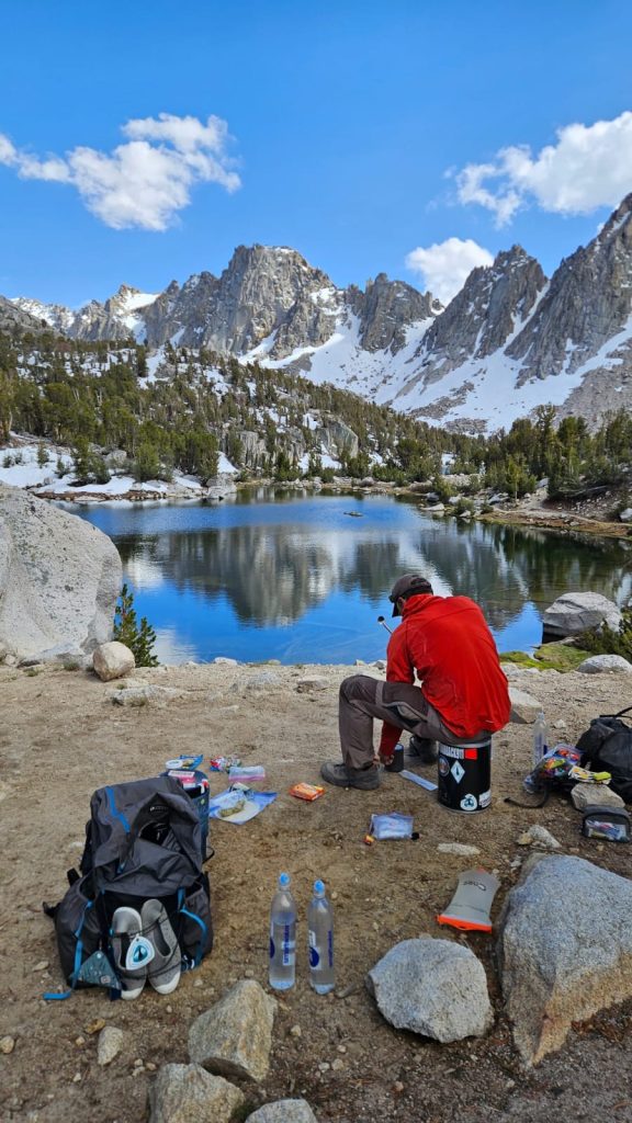
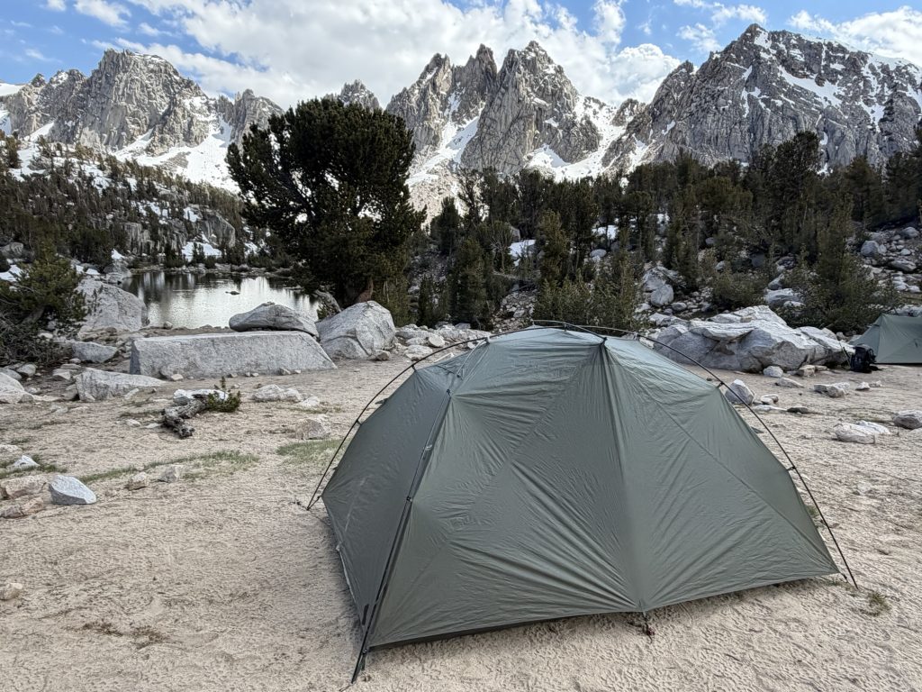
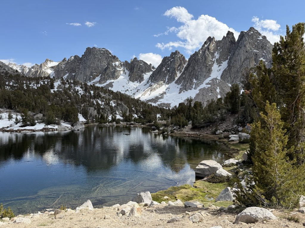
Tomorrow we are going into the town Bishop for some much needed real food, rest, resupply and showers. Apparently there is an amazing deli in town and I have been fantasizing over the sandwich I will destroy when I get there. We have a ride scheduled to pick us up at the trail head at 10:30 so we decided to take the Bullfrog lake trail and camp at Kearsarge Lake. This has to be the most beautiful place I have ever had the pleasure of setting up my tent. We arrived at 1530 and had plenty of time to relax and enjoy the scenery. Later we were joined by two other hikers which made for great conversation about our trials and tribulations over the past few days.
PCT Day 58 – Crabtree Meadows (767.5) to Tyndall Creek (775.9)
June 1, 2026
Total PCT miles: 8.4
Non PCT miles: 1.1
Total: 9.5 miles / 15.3 km
Total elevation gain: 1946 ft
Total elevation loss: 1640 ft
Steps: 23169
What a difference a day and a change of pace can make. Ultimately I decided against an early morning start and sumitting Mount Whitney. I would have preferred to have done the summit but I was in no physical or mental state to do it. It would have just been miserable and only served to continue to darken my mood. Instead of getting up at some ungodly hour and completing an exhausting zombie hike I slept… decently until 0700.
When I got out of bed I learned that Ness had also made the decision not to do the early morning death march. We decided together we would have a lazy morning, leave camp around 10ish and hike to Tyndall creek. This would put us in good position to hike Forester Pass, the offical highest pont on the PCT, the next day.
The extra sleep, combined with the relaxed pace really lifted our spirits. Hiking 18 plus miles a day in the Sierra is grueling both physically and mentally and I personally can not recommend that approach unless you are an athlete. I am far away from being an athlete and even my ability to embrace the suck has its limits.
The hike today was beautiful high Sierra and at times left me without words. The first obstacle was Wallace Creek which I almost successfully navigated the rock hop across. I celebrated the dry crossing a little early and ended up with one wet shoe. Shortly after was Wright creek where I was successful at keeping both feet dry.
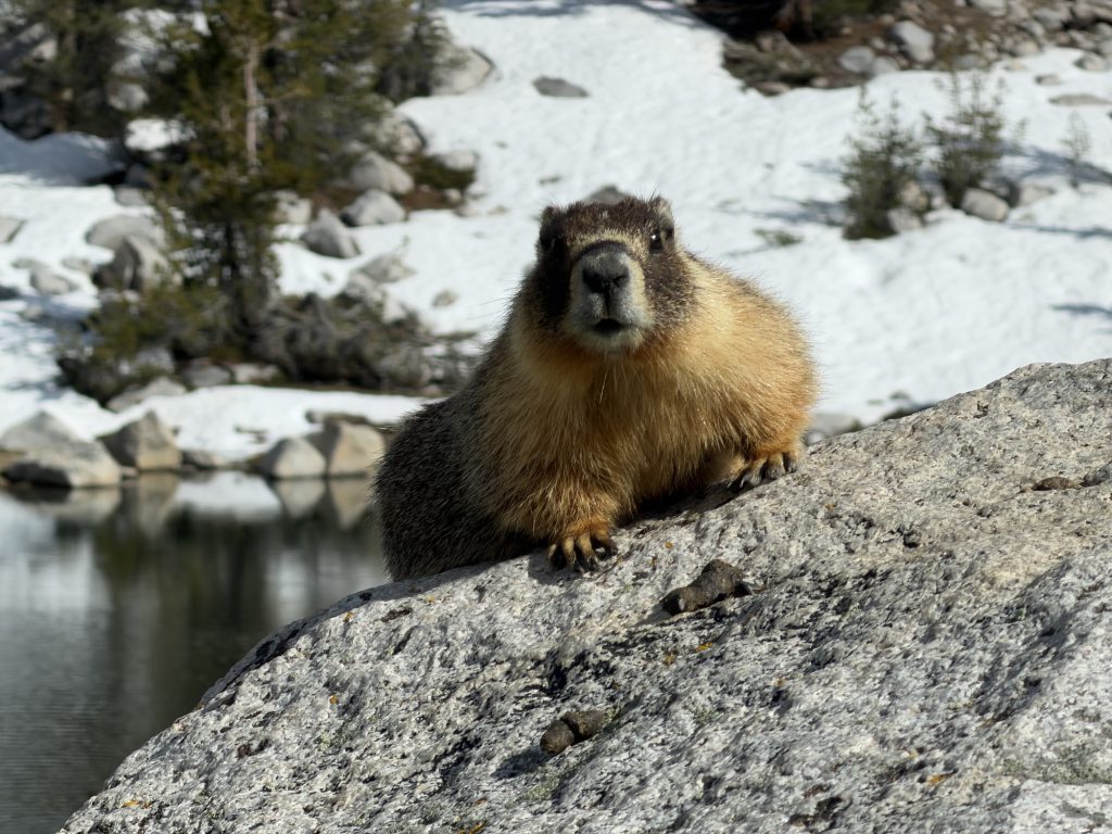
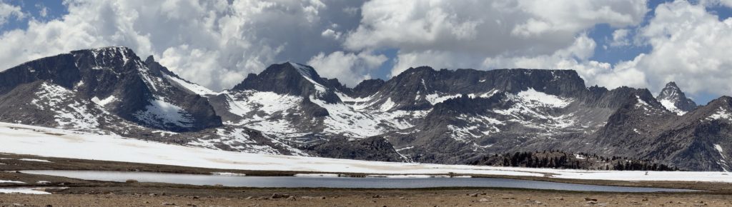
From here we climbed and with each step the Sierra became more and more beautiful Until we reached the Bighorn Plateau. I was greatful for the slow pace today that allowed us lots of time to take in the beautiful scenery. All around us Were mountains. In the rear we could still see Whitney and in front Forester Pass was came into view and in between nothing but mountains And marmots. I think we counted a dozen or so marmots running around the plateau. This is truly the Sierra and what everyone has been telling me to look forward to.
From here it was a short distance to Tyndall Creek in which there was no way for me to cross without getting my feet wet. So across I went, shoes on (this will suck tomorrow). The water was knee high and moving quickly. I can’t imagine what this creek looks like in a high snow year!
We arrived at camp at 1600 just as the sky began to darken and thunder could be heard from the direction we came. Fortunately we only got a few rain drops at our location.
Tomorrow will be an early start over Forester Pass, one I am actually nervous for. All the reports we have been able to get on trail don’t make it sound too bad. One of the hikers camped here has friends who bailed yesterday. They are in town and have spoken with PCT hikers who said we shouldn’t be concerned. I guess I’ll find out for myself soon enough.
Although I missed out on Whitney today was a great day. I don’t feel emotionally, mentally or physically exhausted. Now I can’t only do 8 PCT miles a day through the rest of the Sierra. But there sure is a better balance to be found. The rest of the group are hiking part way here today and will probably meet up with us tomorrow.
PCT Day 57 – PCT mile 750.7 to Crabtree Meadows (767.5)
May 31, 2026
Total PCT miles: 16.8
Non PCT miles: 1.1
Total: 17.9 miles / 28.8 km
Total elevation gain: 3094 ft
Total elevation loss: 3524 ft
Steps: 44070
Sleeping at elevation is not easy and often results in a poor outcome. Last night camped at 11119 ft, the highest we’ve been on the PCT so far, resulted in the worst sleep I’ve had on trail. Maybe 4 hours of broken, interrupted and not restful sleep. But at least the sun was out and hitting us at 0700 am warming us from the below freezing temperatures last night.
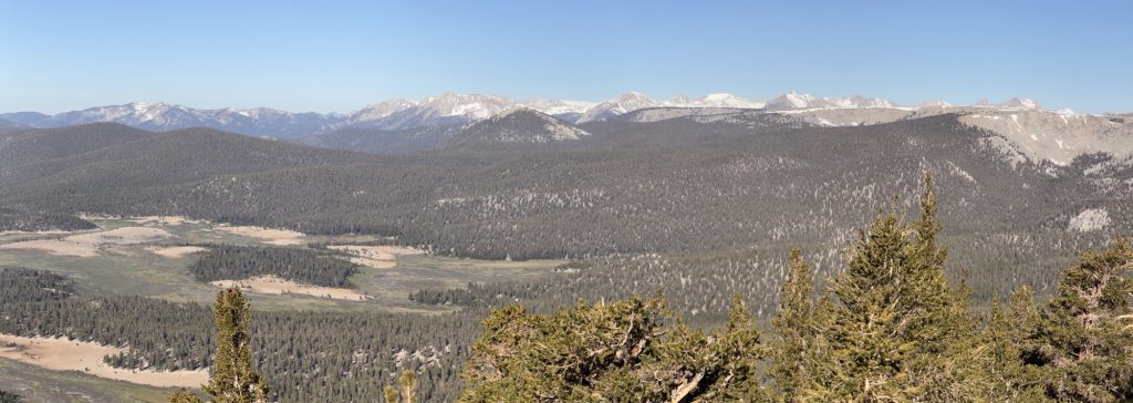
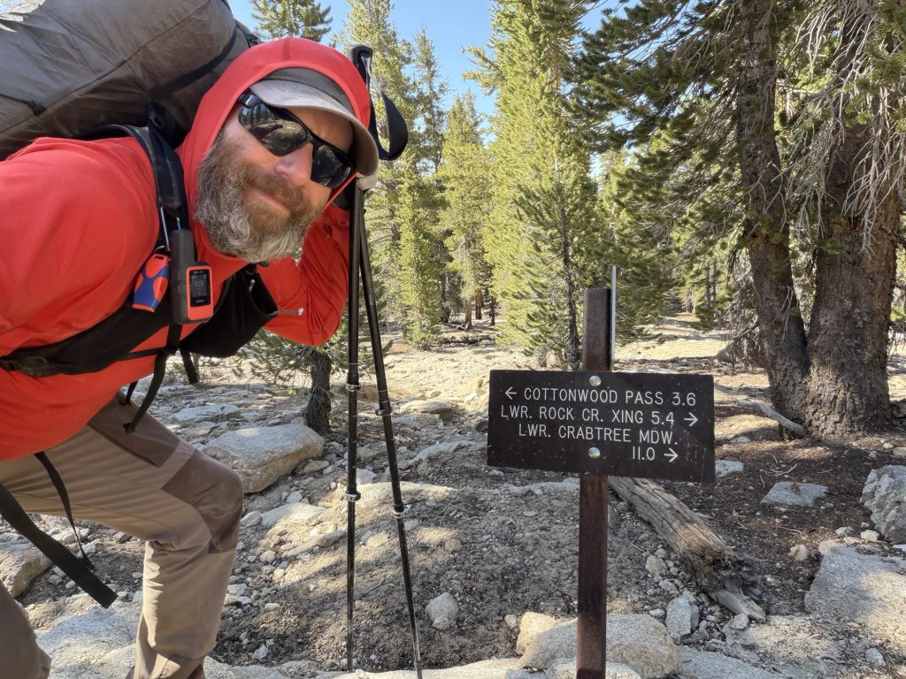
Today was another challenging day but as it progressed started to get more beautiful. It’s really starting to feel like we are in the High Sierra both in exertion levels required to move and in the beautiful landscapes.
We climbed almost to 12000 ft where we came across Chicken Spring Lake our first alpine lake. Apparently there is some sort of tradition to go swimming in it… but I had little desire to experience what hell freezing over actual feels like so I just continued on my way.
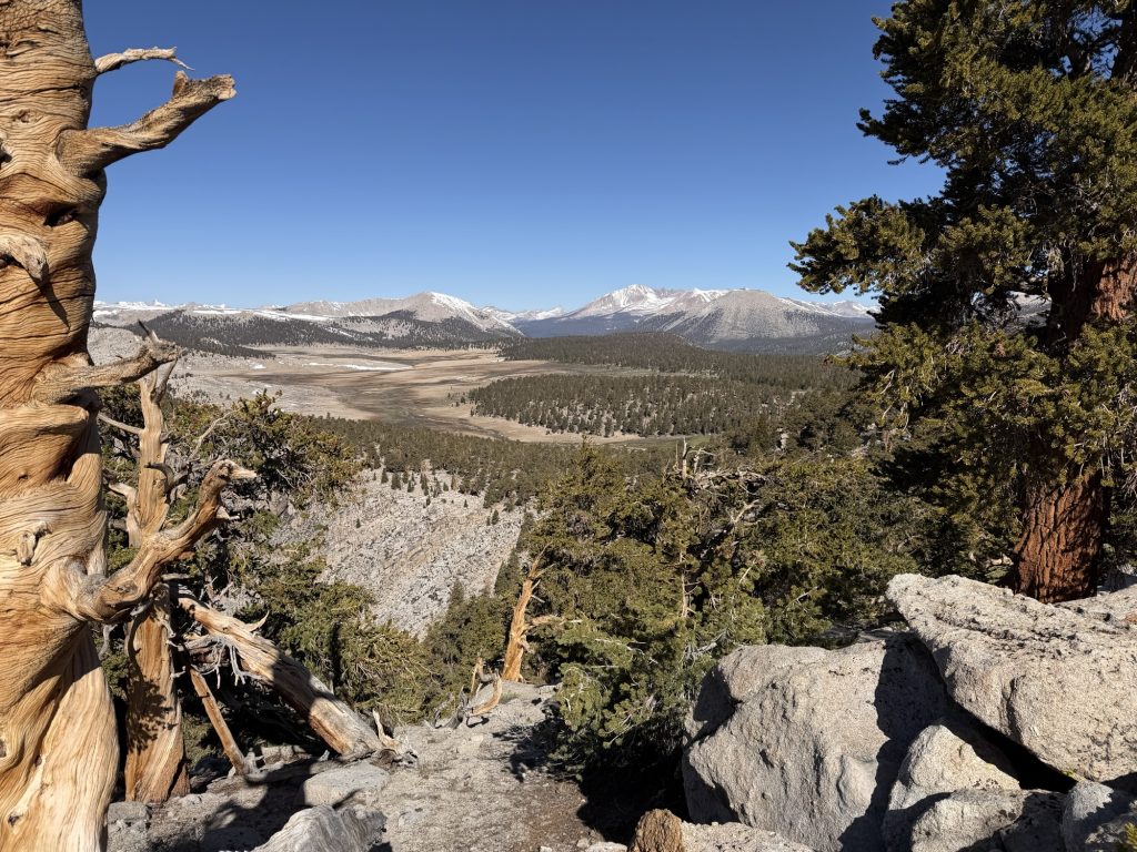
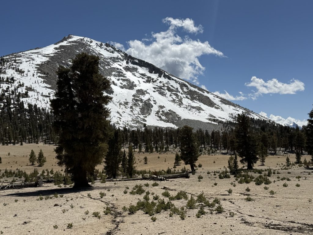
The forests here are interesting. Large pine and cedar trees with quite a bit of separation growing in sand or between rocks.
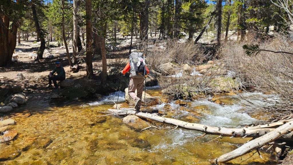
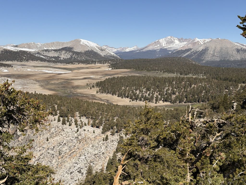
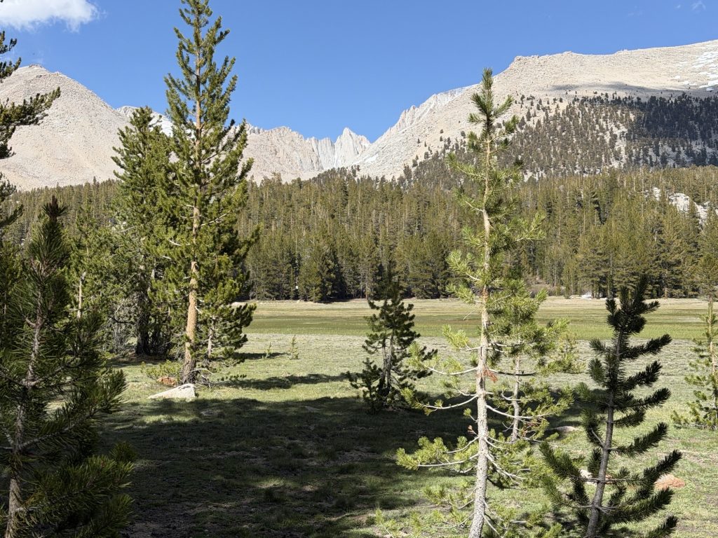
At times the trial provided beautiful views of green meadow valleys and the mountains in front. Today we had to cross our first two of many creek/river crossings on the PCT. The name of the game is keeping your shoes dry. The prize – dry feet. Rock creek was the first and fortunately there was a well placed narrow log that made the crossing easy. Whitney Creek was the second and rocks made it easy as well.
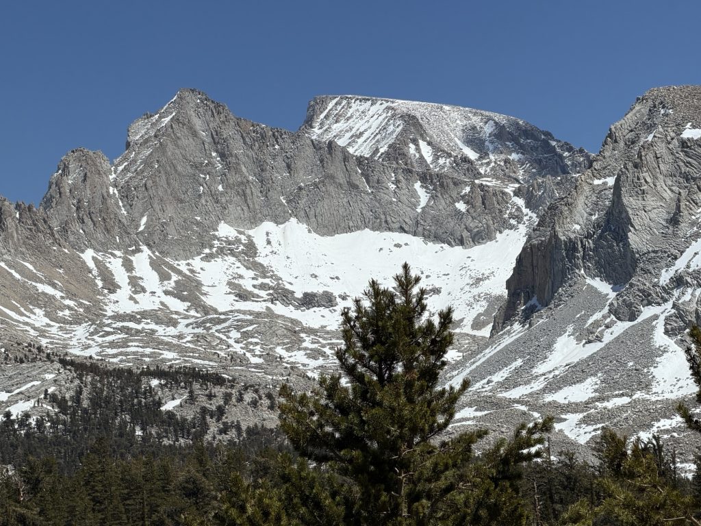
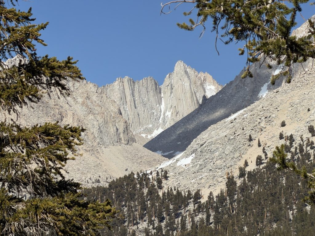
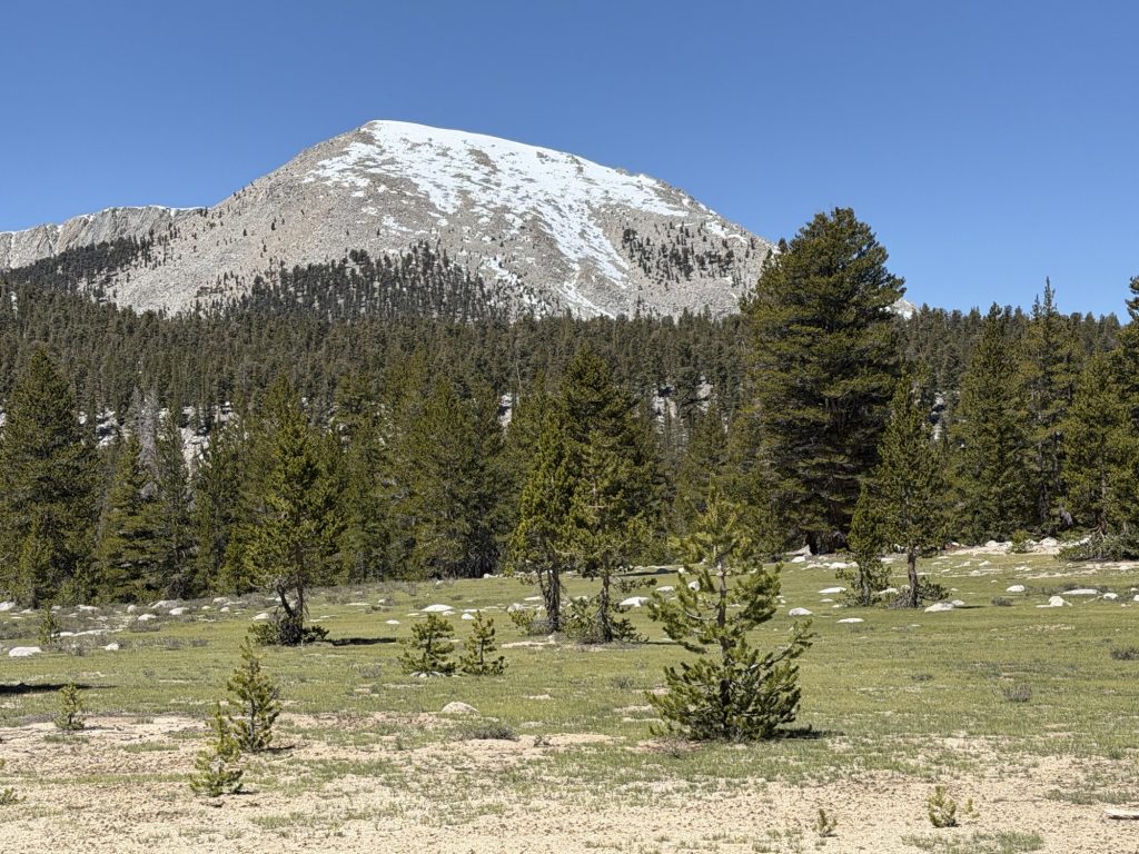
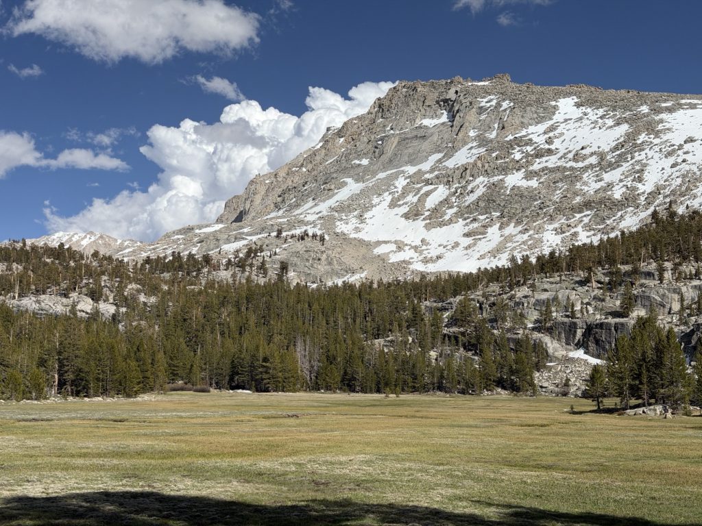
Coming down into Crabtree Meadows, the PCT gateway to Mount Whitney was beautiful. The view of Whitney and surrounding mountains was incredible.
Finished our hiking at 1700 and I am exhausted. Most of our group will hike to the Summit of Mount Whitney tomorrow but I am likley just going to take it easy. The elevation and miles have really taken a toll on my body the last few days and I probably should listen to it. Whitney is not part of the PCT, just a very popular optional side quest many hikers do. I had hoped to summit it, but not at any cost.