PCT Day 72-74 – Double Zero in Mammoth to PCT mile 917.1
June 15-17, 2026
Total PCT miles: 9.3
Non PCT miles: 4.1
Total: 13.4 miles / 21.6 km
Total elevation gain: 2644 ft
Total elevation loss: 2858 ft
Steps: 31448
Double Zero In Mammoth
With the exhaustion and lethargy I’ve been feeling over the past section I decided it was best to take a double zero in Mammoth. This would give me a day to get town chores done and another day to actually rest. When you get into town there is so much to do that the “day off” from hiking feels busier than a day on. I guess it’s pretty similar to real life when the weekend flys by and the next thing you know it’s time to go to work and you didn’t even get a chance to recover from the previous week. The extra day in Mammoth also gave me a chance to eat more town food… and let me assure you I ate as much as I possibly could.
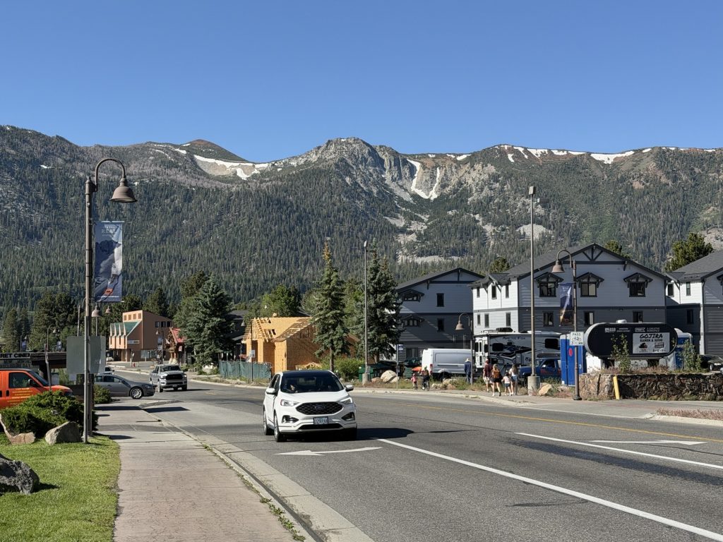
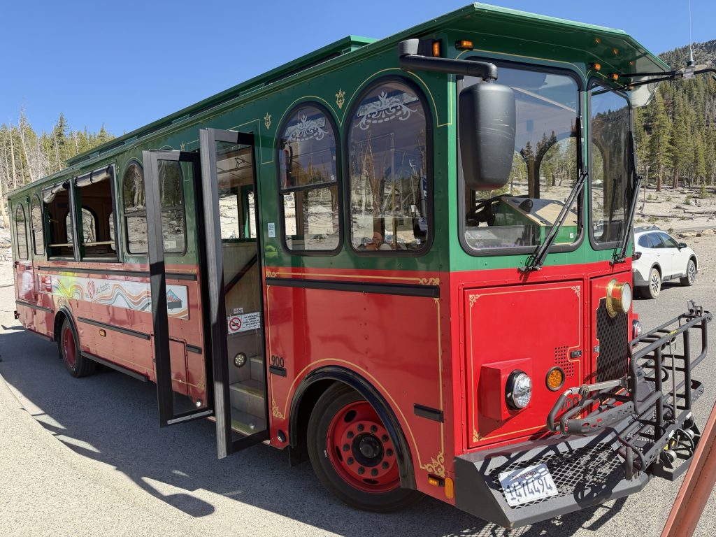
Mammoth is a great hiker town. Even though it’s a bit spread out there are free busses that run every 20 mins during the day that will take you pretty much where ever you want to go. This really helped keep my step count at a more reasonable number over my zero days!
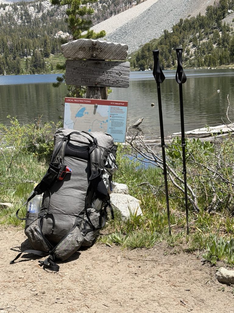
I got my new Durston pack which is the updated 2026 version that has some good improvements over the one I had. Notably it has larger hip pockets so I can cram more snacks into them! Extreamly happy with their customer support For replacing my old bag due to a manufacturers defect even though it was past warranty. I bought new sun gloves as my old ones were full of holes, a new water filter because my old one was slow as molasses and bug spray.
I also took the opportunity to lighten my load a little by mailing home a few things. My ice axe, which I probably never actually needed, my touque that I never used, my extra mittens and my down puffy jacket. I may live to regret sending home my jacket but between my alpha fleece and my rain jacket I think I’ll be fine. I also put a few things into the hiker box that I no longer needed like my extra powerbank (can’t ship it internationally via USPS).
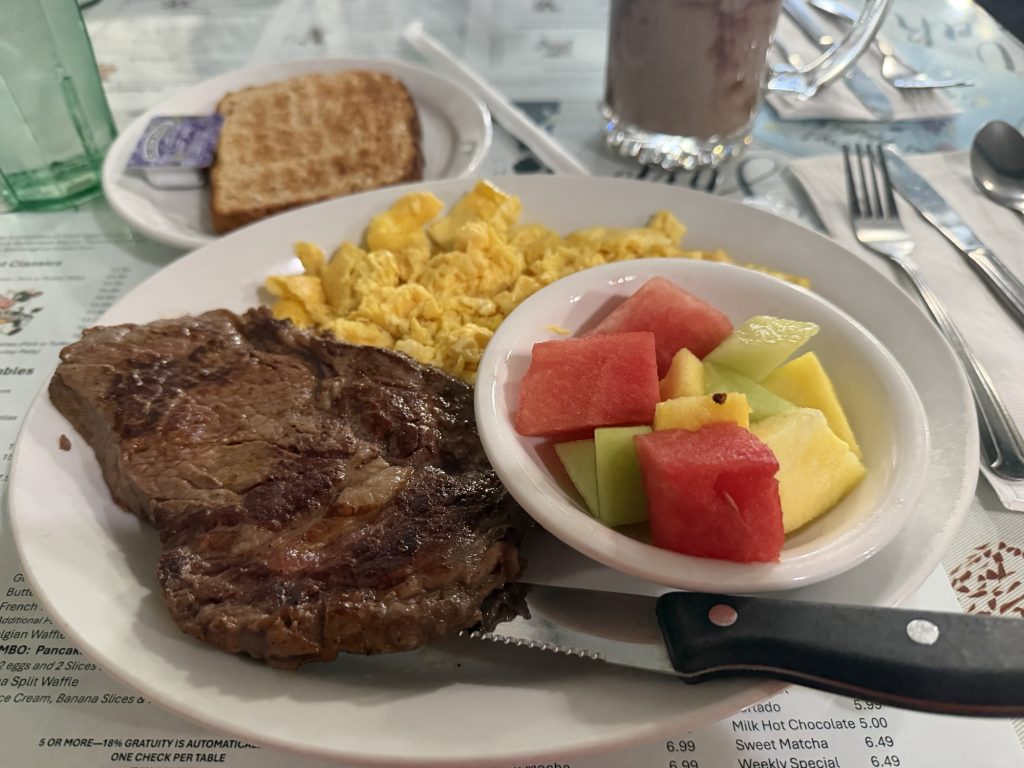
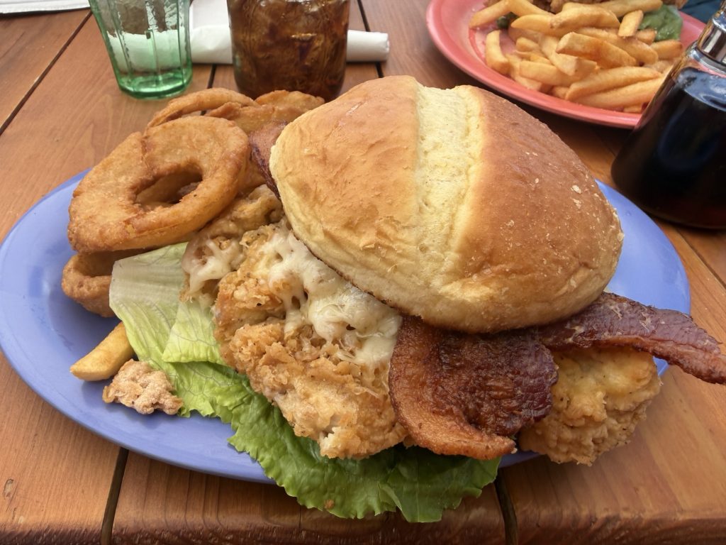
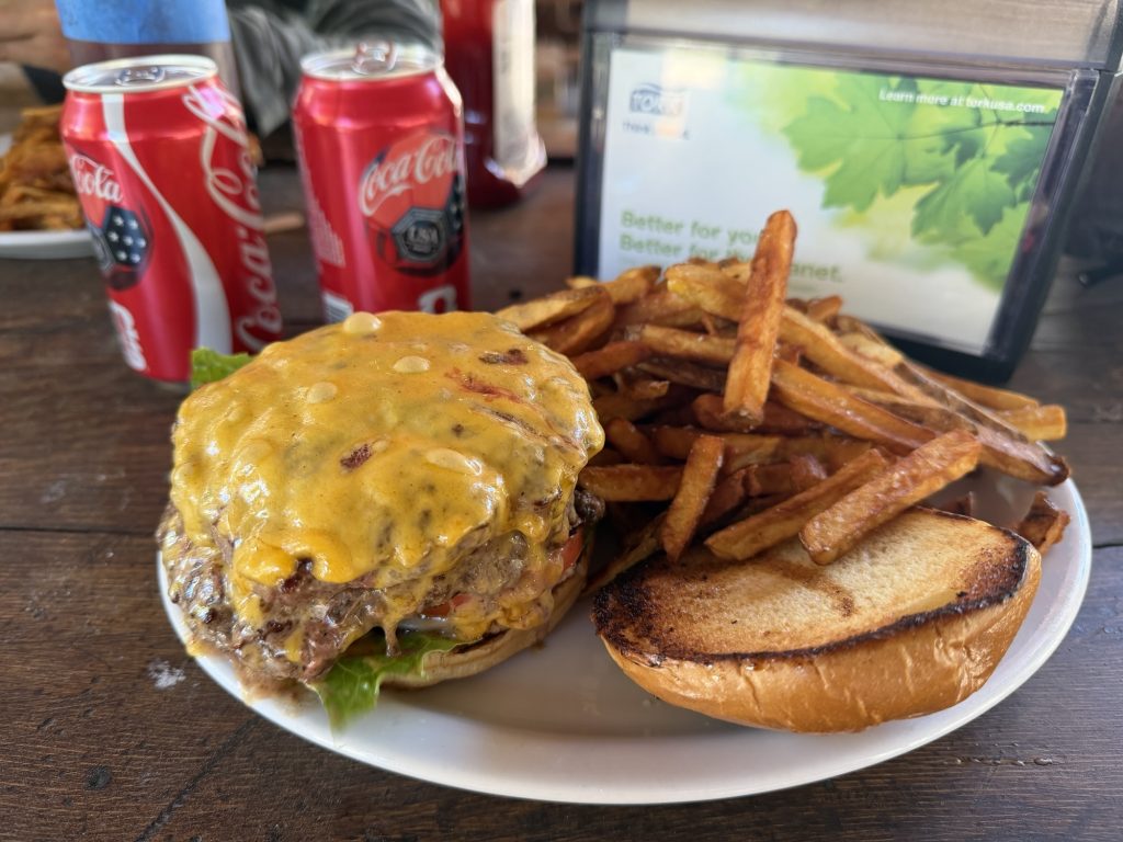
I ate all the food – steak and eggs x 2, burgers, chicken burgers, pizza, a giant sandwich, crepes, ice cream, chips, cookies, more sandwiches Just to name some. It got to the point where I was eating not because I was hungry because I was stuffed. But I knew I needed the calories. Hopefully I managed to gain a few pounds back.
I also did my resupply. I decided to pack out 4 days of food. I’ll have to get more in Yosemite. But somehow my 4 day food carry fills up the same bear can I just did 7 with. But I did purchase a ton of snacks to try and keep myself fueled.
I seem to have lost my ankle brace. It’s entirely possible I inadvertently put it in the box I mailed home. I mean it’s been 700 miles since I sprained my ankle. I probably don’t need to be wearing it. But I’ve ordered another as I was planning on replacing it it anyways. I’ll get it in Tahoe which is 200 miles ish away. Hopefully I won’t have any issues.
I also relaxed, watched TV, met lots of hikers and got as much sleep as possible.
The double zero was definitely the way to go even if it meant other than High Stakes all the other people I have been hiking with have gone ahead.
June 17th – Back on Trail
I woke up early this morning, before my alarm even went off so I could get steak and eggs one more time before hitting the trail and grab some red bull to pack out with me.
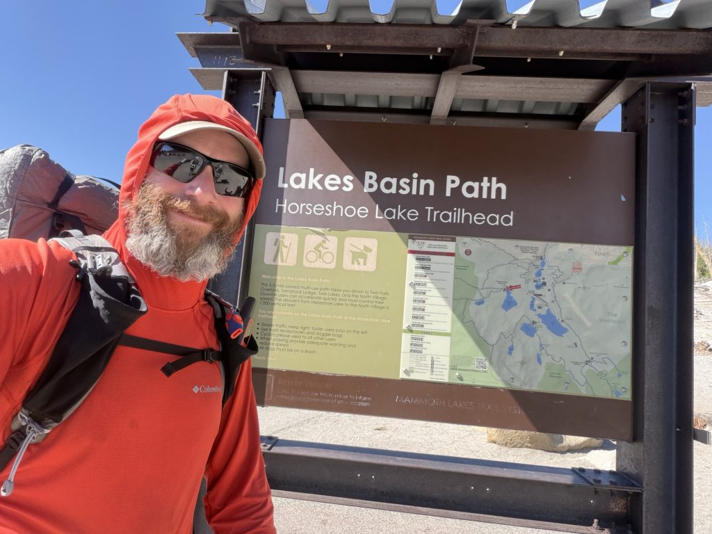
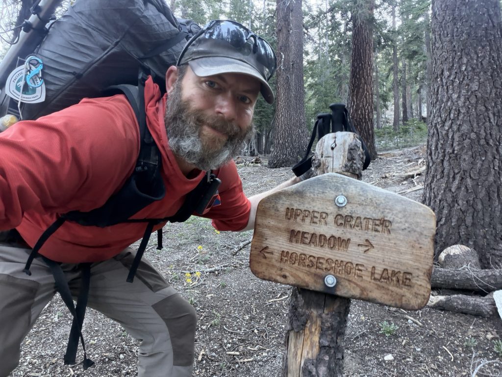
High Stakes and I would have preferred to get on trail earlier but the bus to Horseshoe lake doesn’t start until 09:00hrs and take about 30 minutes to get to the trail head. But the bus is free and we didn’t have to bug a trail angel of hitch so I can’t complain much.
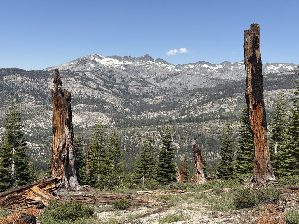
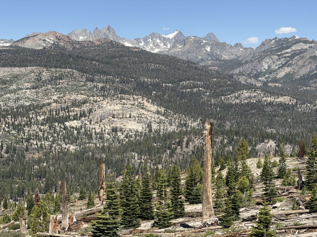
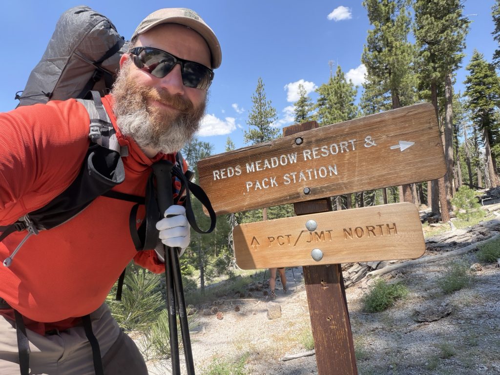
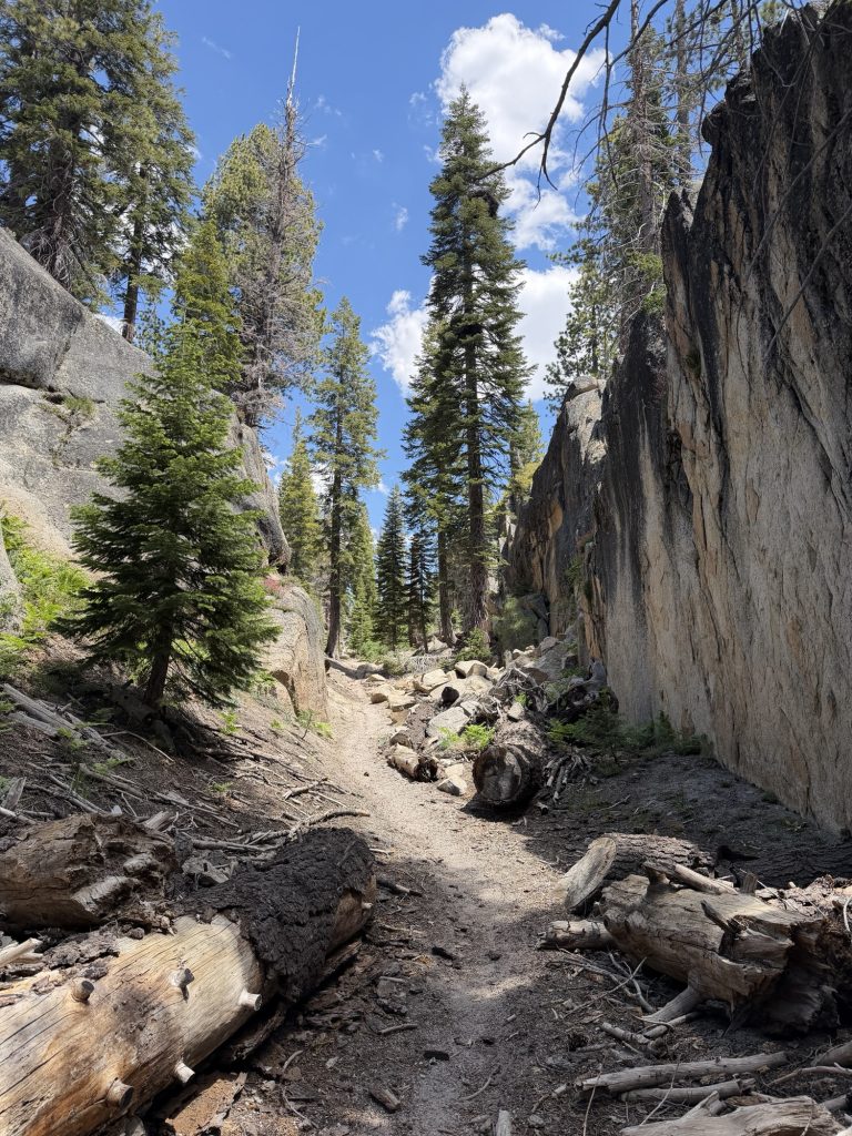
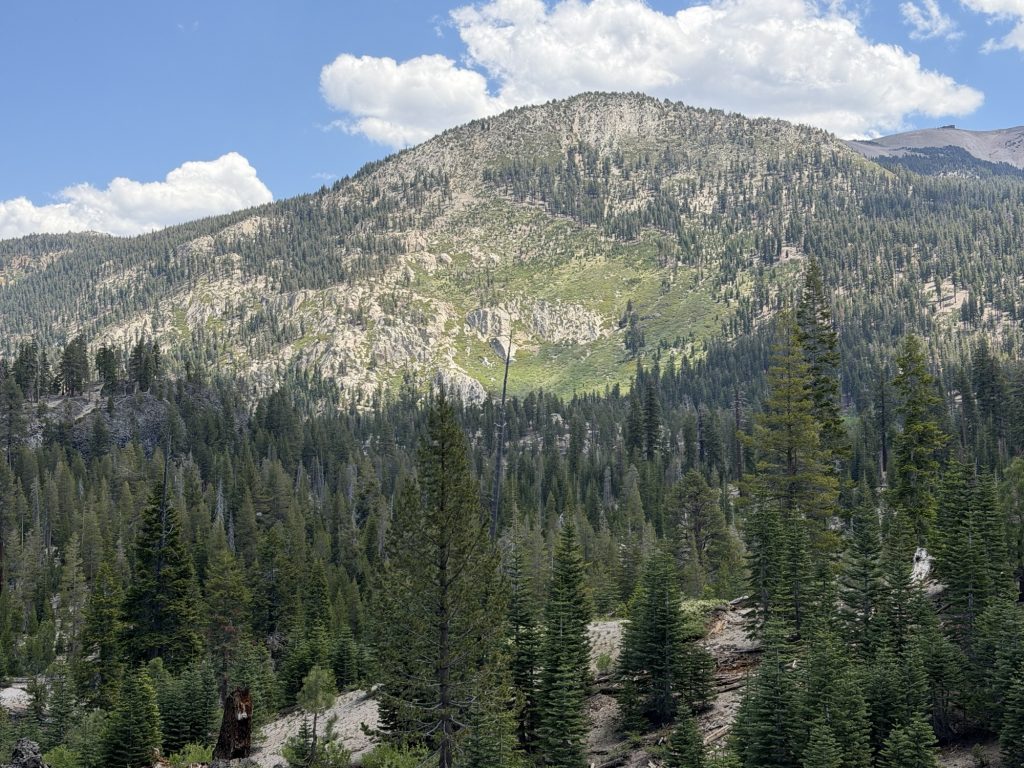
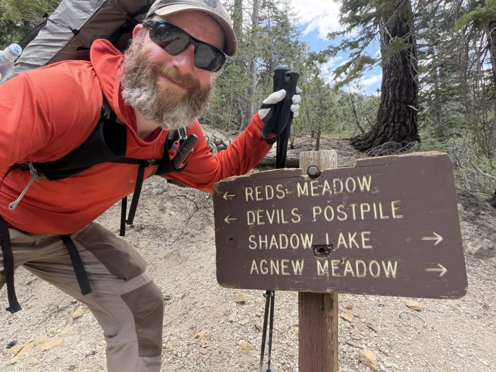
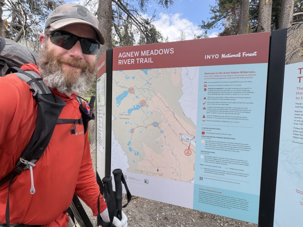
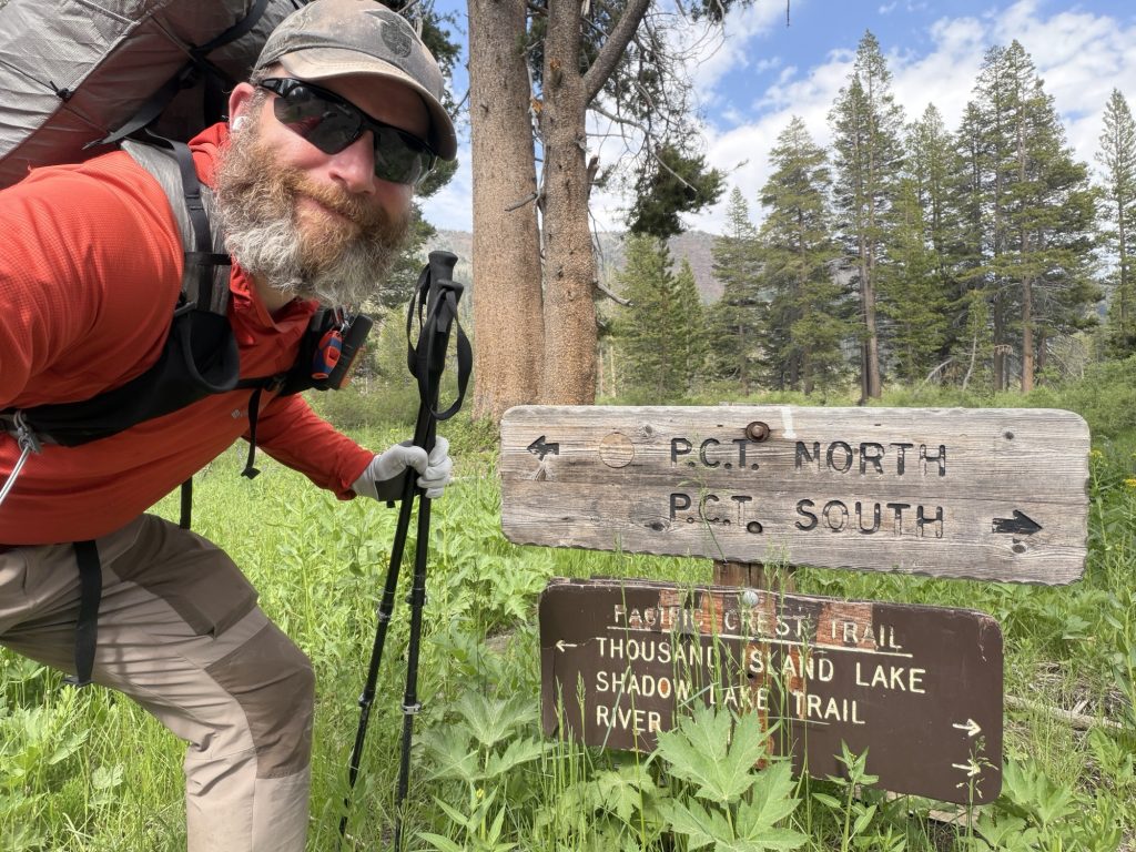
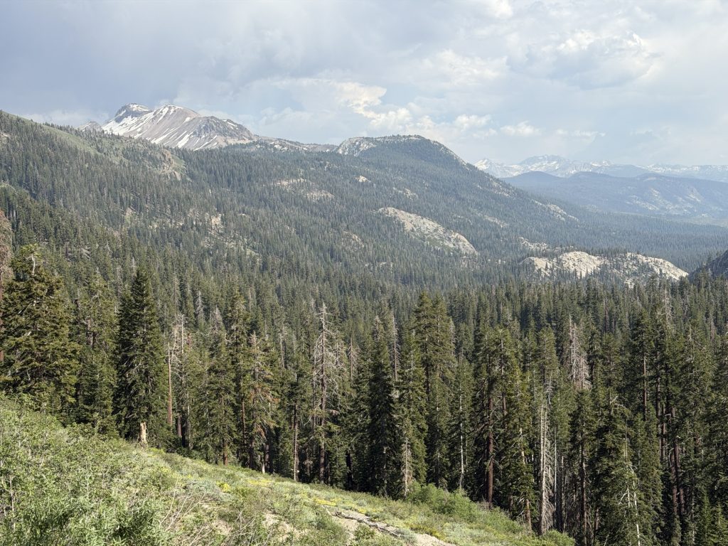
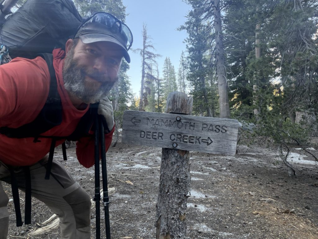
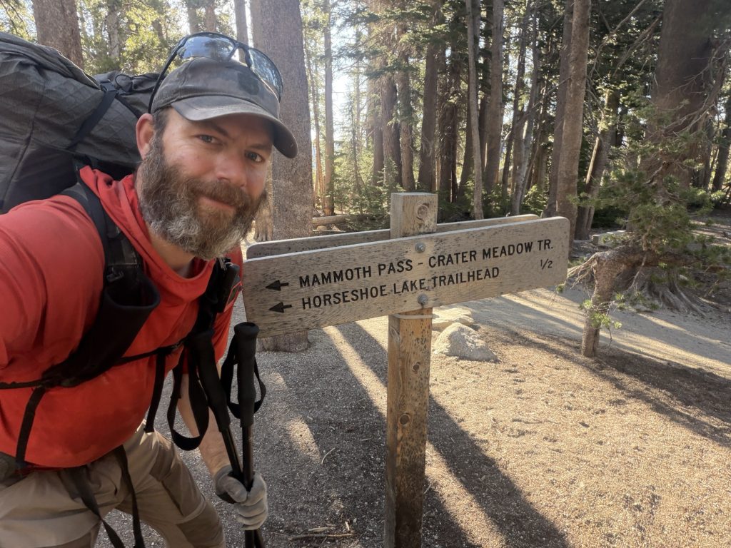
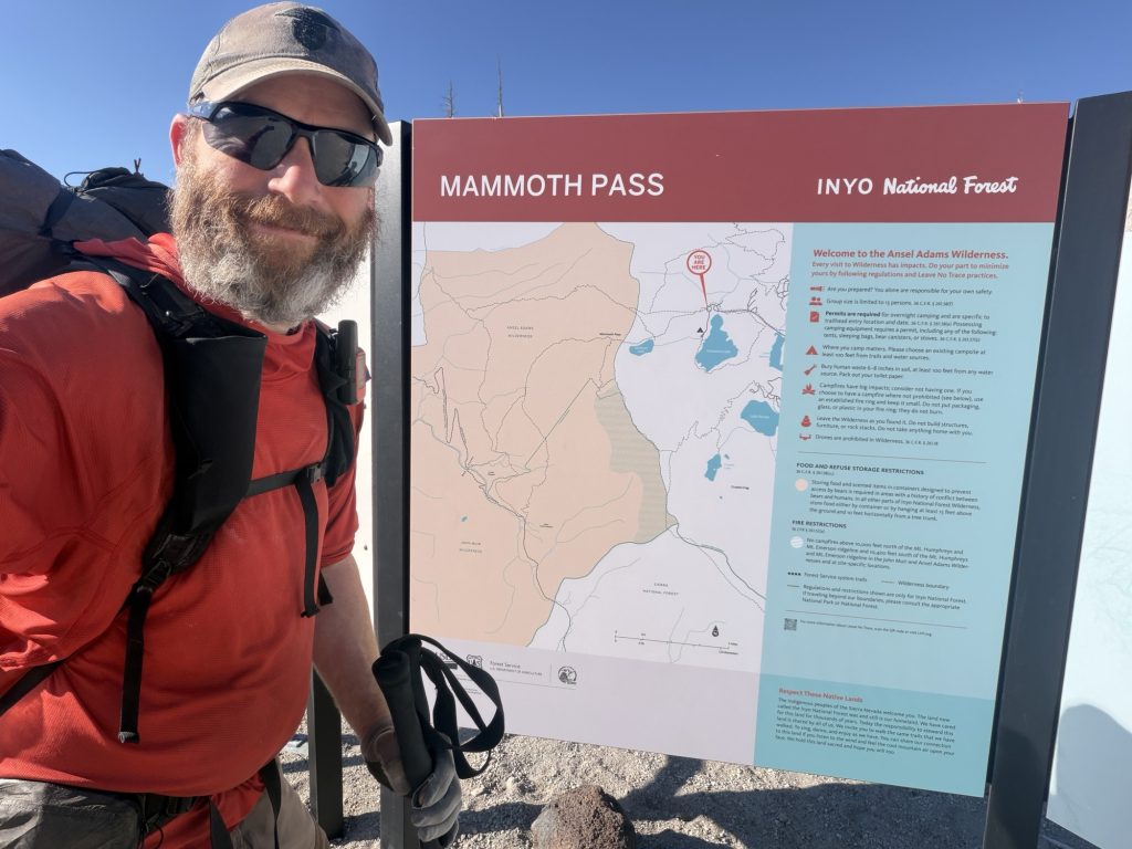
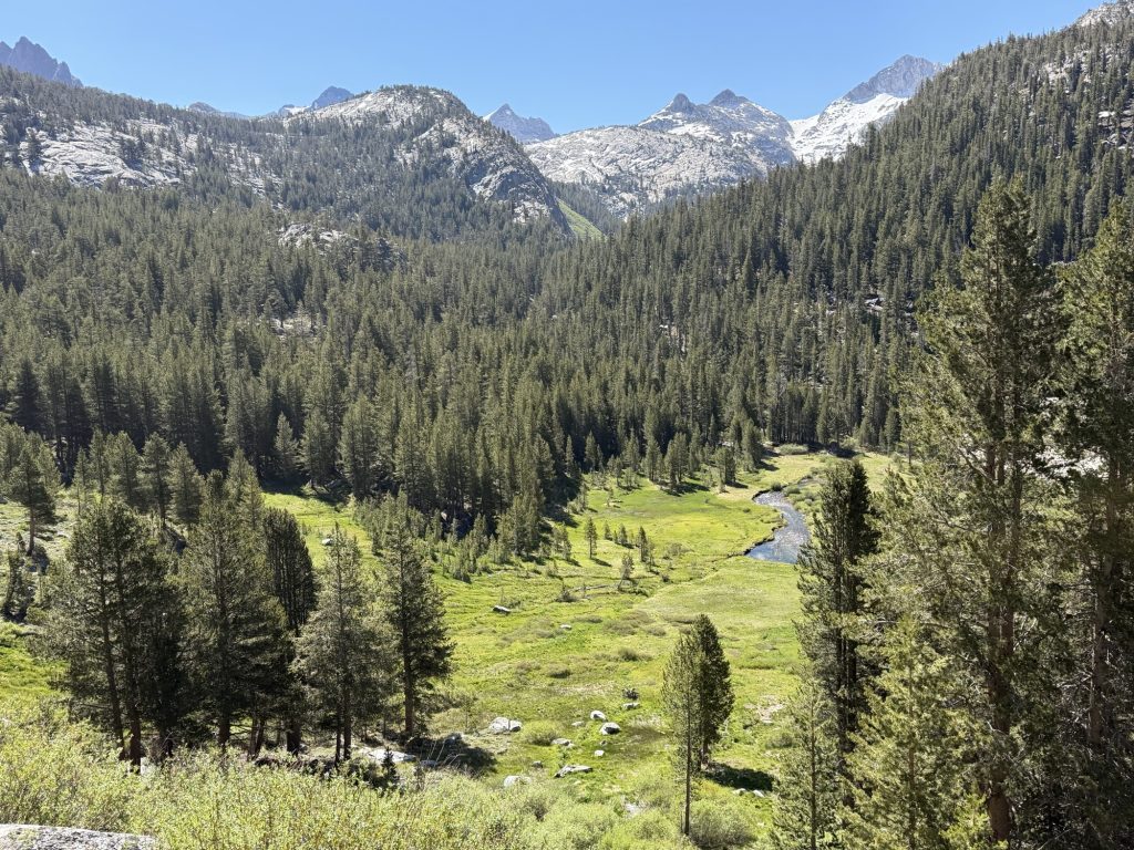
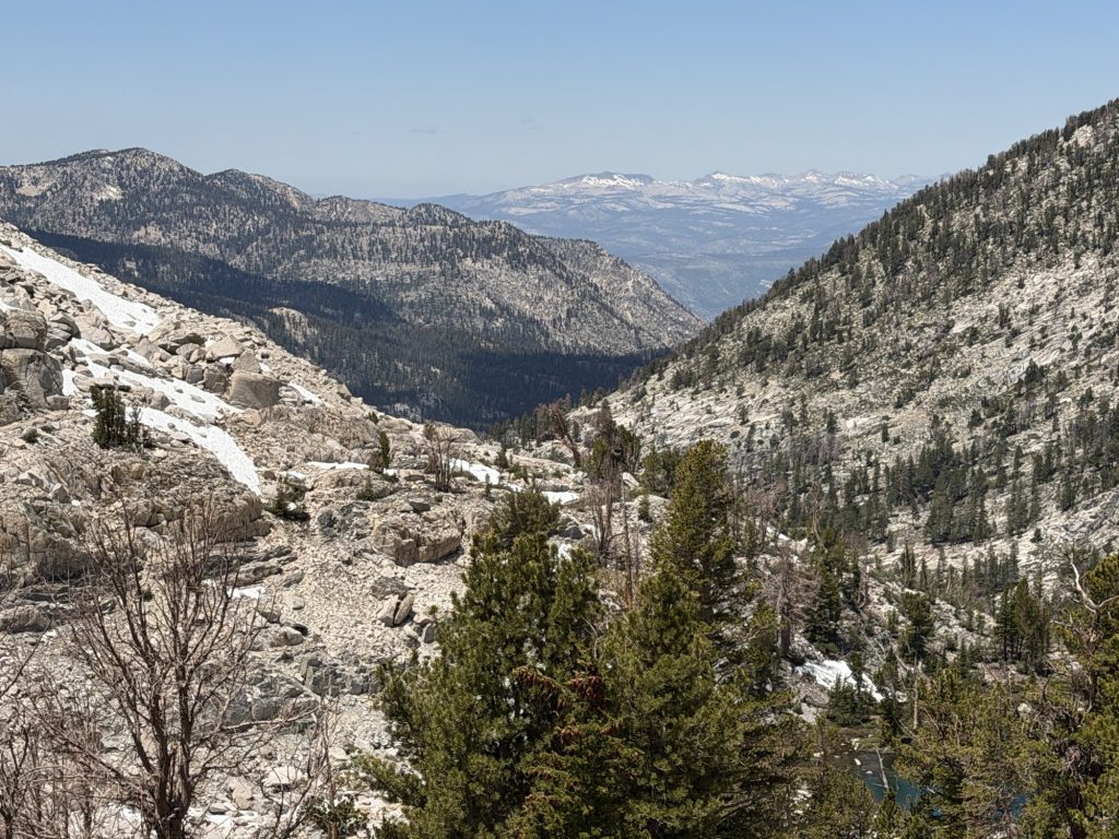
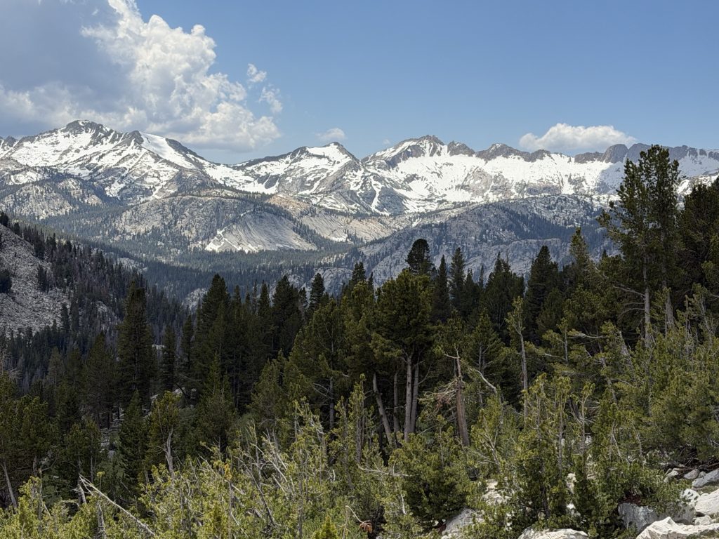
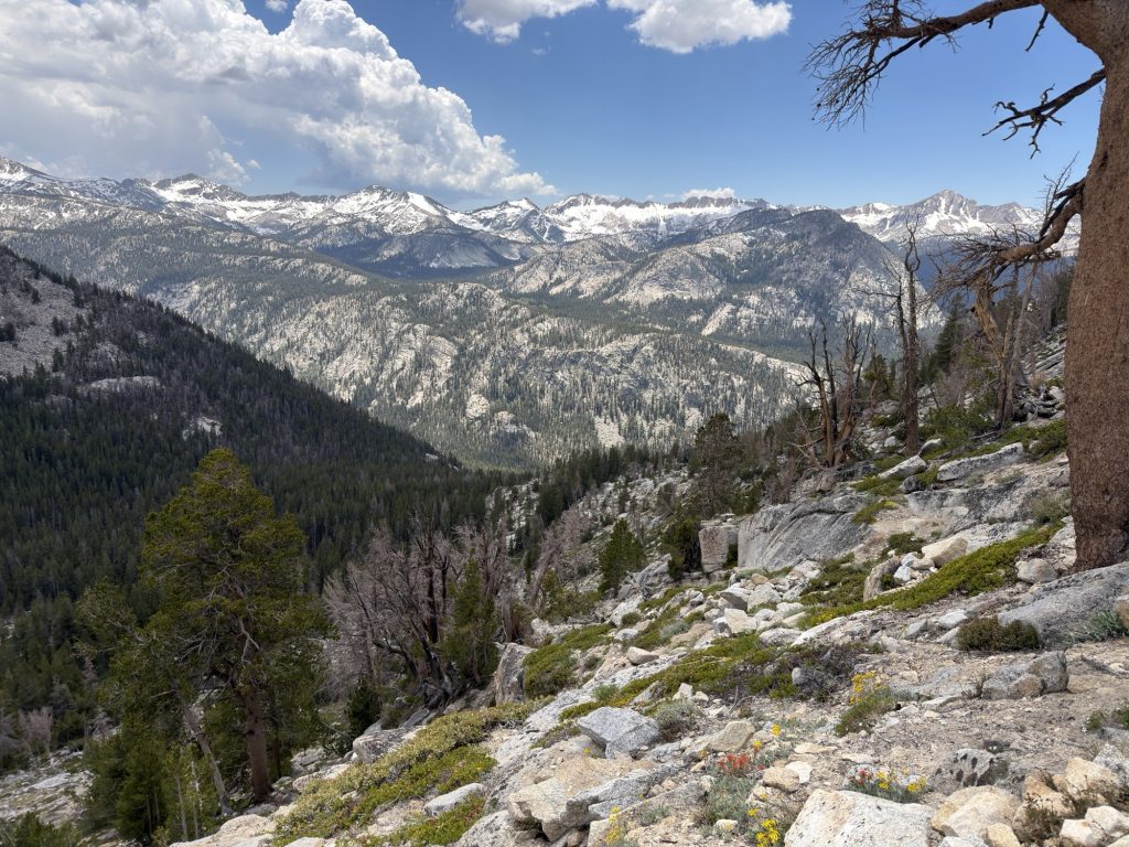
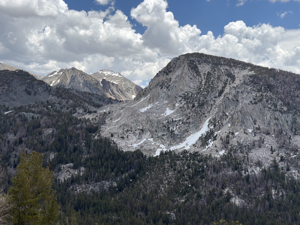
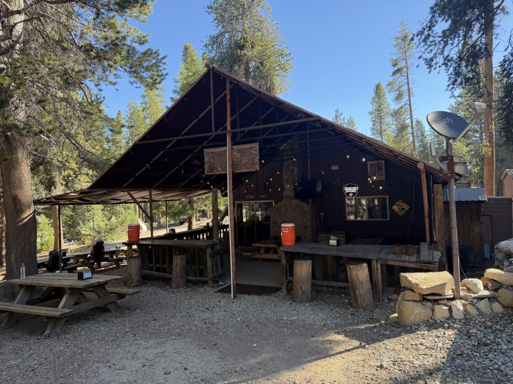
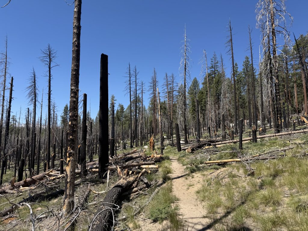
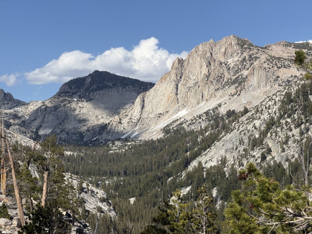
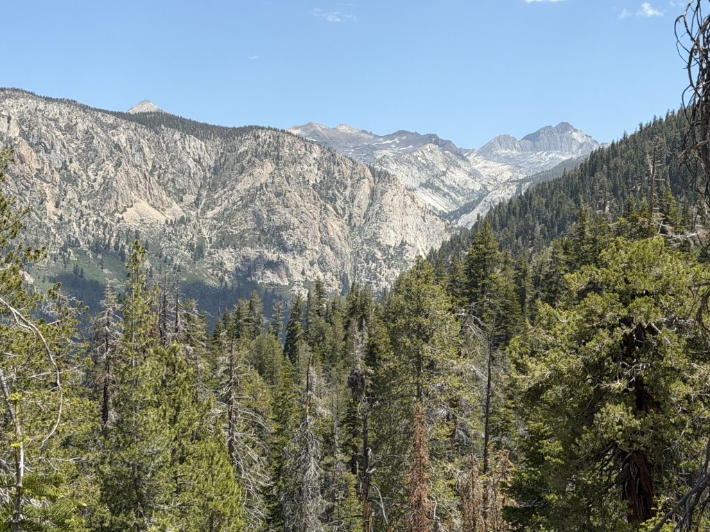
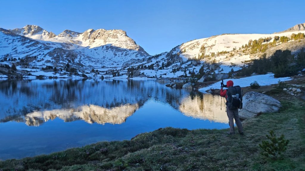
We were on the trail head shortly after 0930 am it was already hot. Today’s high is 24 Celsius but it felt much warmer for most of the day. We decided to take the Mammoth Pass trail instead of the trail we hiked into town in. As a result we skipped 4 ish miles of the PCT. This trail brings us though a small burn area from a fire that was over a decade ago and provided good views of the valley and surrounding mountains. At Red Meadows we finally joined back with the PCT. This is normally a pretty popular stop on the PCT but it has not opened yet for the season because of damage to the road. Just last weekend they opened the road for weekends only.
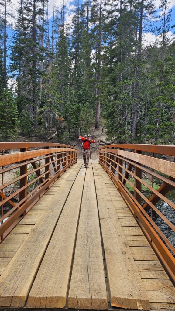
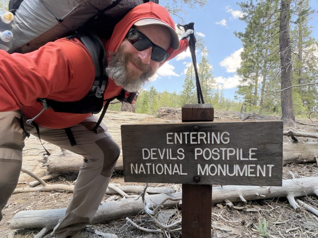
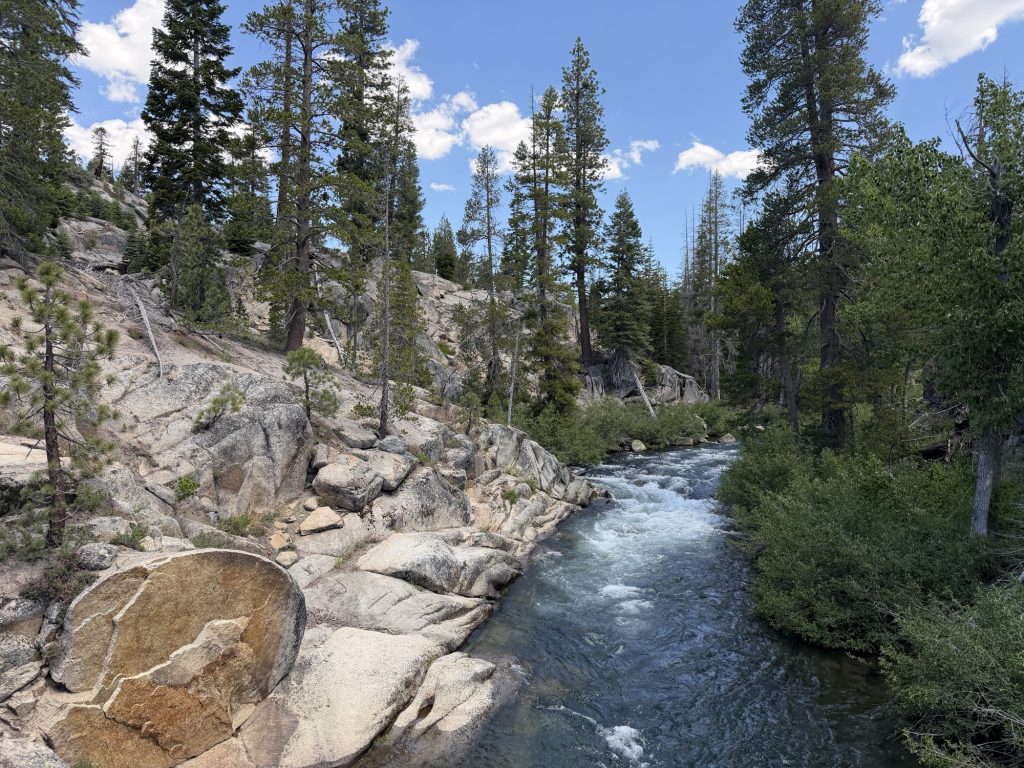
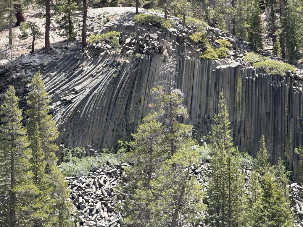
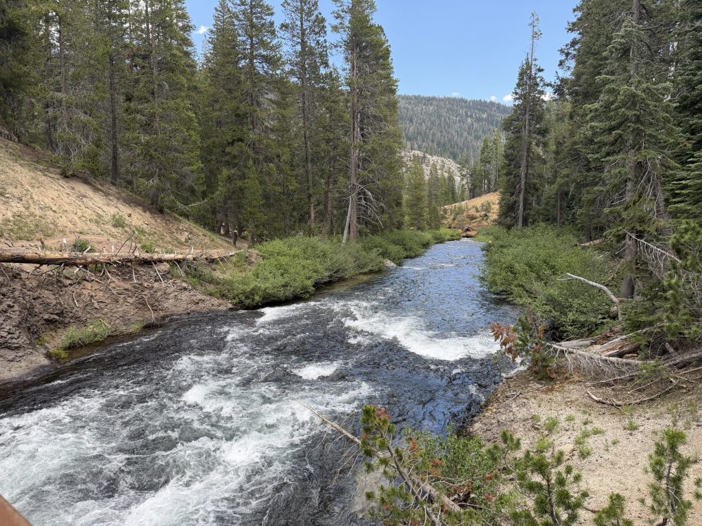
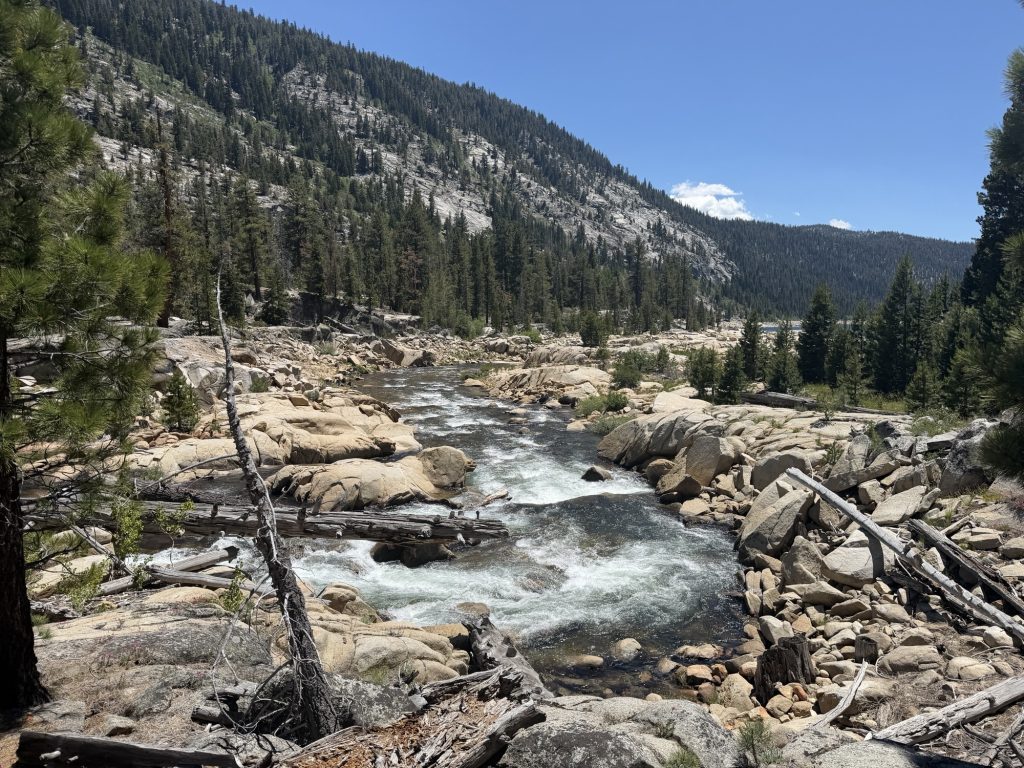
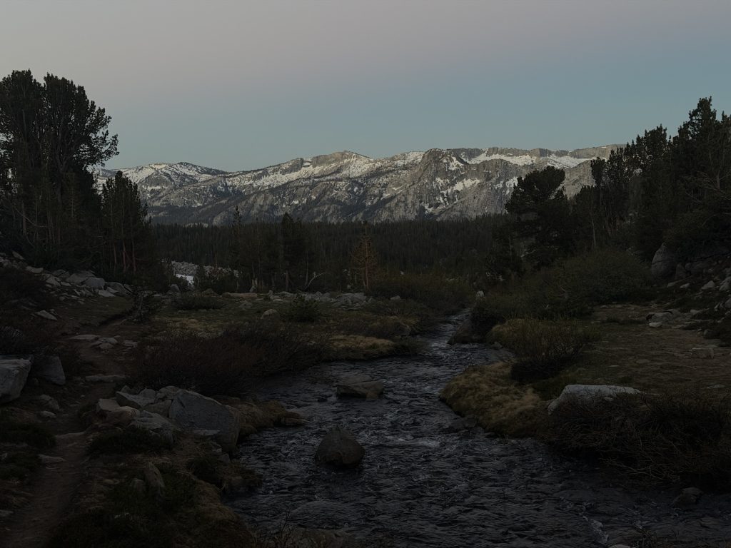
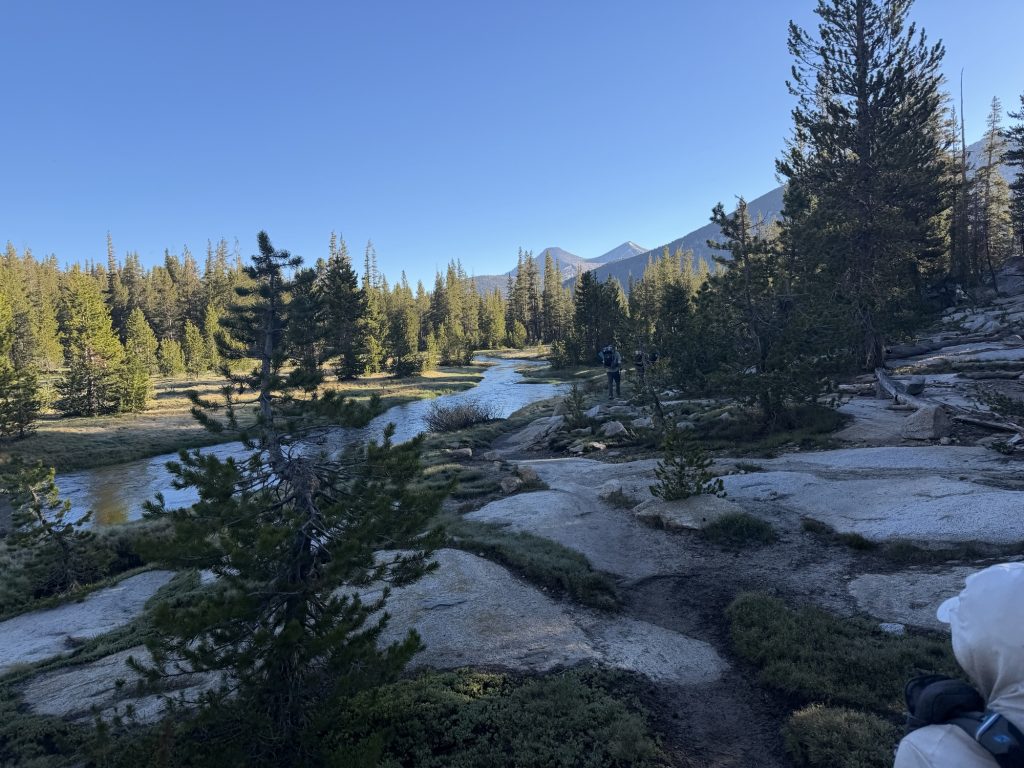
From here we continued down and then followed the Middle Fork of the San Joaquin River. Fortunately all the crossings on this river have bridges because it would be very unsafe to cross otherwise. We then entered Devil Postpile National Monument which features basalt columns similar to those found in other places in the world. There is a side trail that will take you close by but we decided to just enjoy the view from the trail and continue on.
Today I’ve seen more PCT hikers on trail than any other day. It seems the bubble is catching up to us. We stopped for lunch at a creek and by the time we left there were 6 other hikers there. I counted another 5 or 6 throughout the day and I’m camped now with 5 other PCT hikers and 1 JMT hiker.
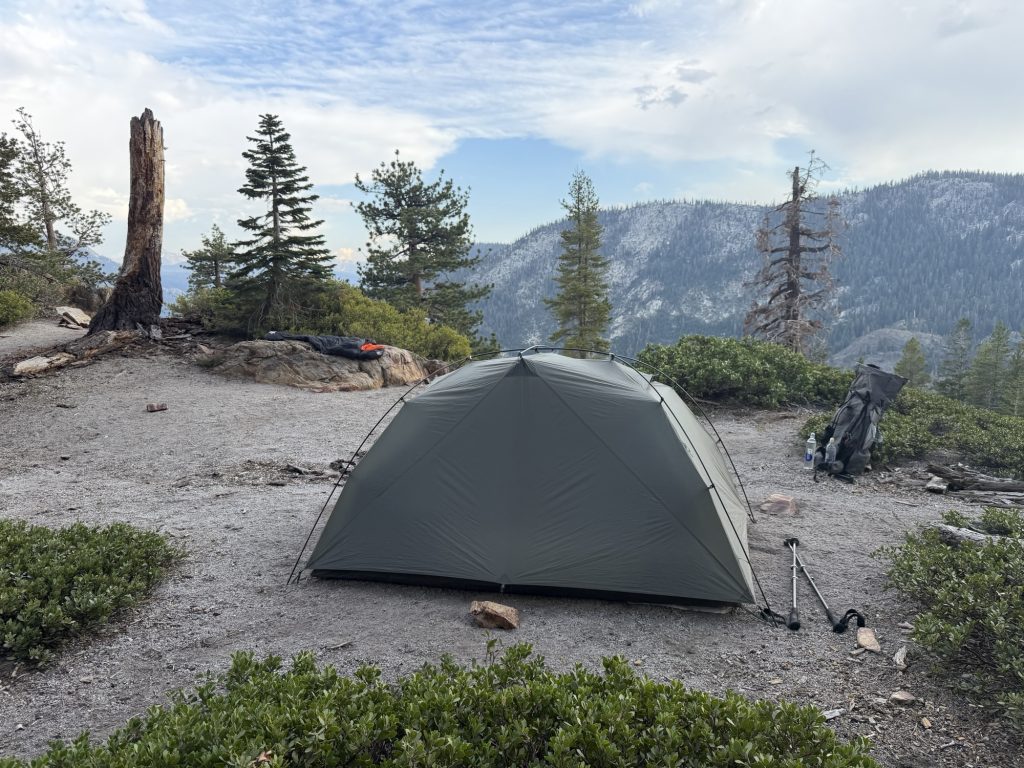
We had hoped to do a few more miles today than we did. But the first day out of town is always the hardest with the heavy packs and typically late start. So we found a great spot and set up. I even have cell reception here which is wild!
We plan on an early start and hopefully 17 miles tomorrow to get us over Donahuge pass to the last legal campsite before we entire Yosemite!
PCT Day 71 – PCT mile 902.3 to Mammoth via Horseshoe Lake Trail
June 14, 2026
Total PCT miles: 2.1
Non PCT miles: 3.2
Total: 5.3 miles / 8.5 km
Total elevation gain: 948 ft
Total elevation loss: 1089 ft
Steps: 14864
A proper Nero into Mammoth! Yesterday we got as close to the exit to Mammoth as our weary bodies could carry us. Today we get to reap the benefits of yesterdays suffering!
We were up and on trail at 0600. Not because we actually needed to be on trail that early but because we would both be awake anyways so we might as well make the best of it and hike in the cooler air. It was only 2.1 miles to the Horseshoe Lake Trail and it was all mostly downhill and easy hiking.
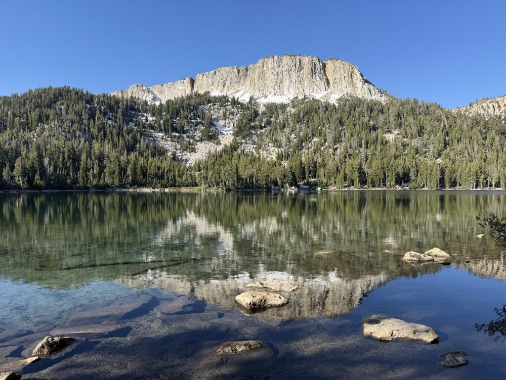
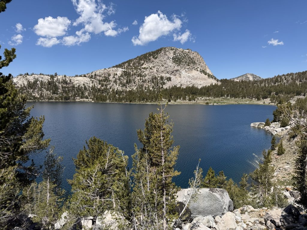
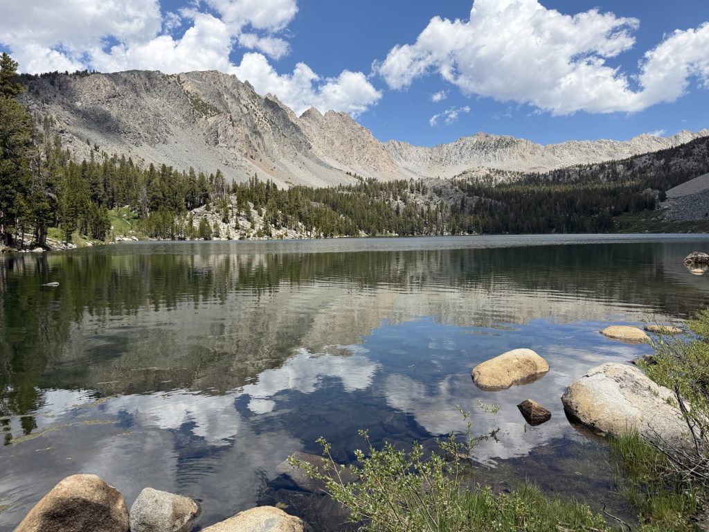
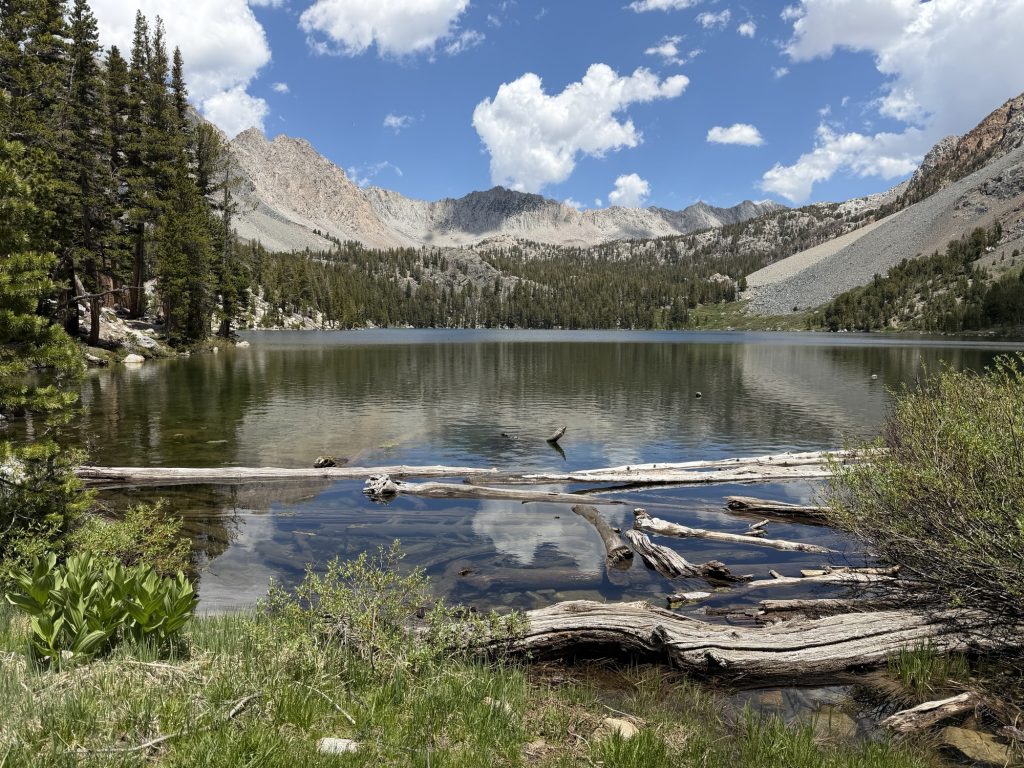
The Horseshoe Lake trial had some elevation gain but nothing terribly significant. We passed by two lakes along the way and were at the trailhead at 0800. From here we would wait for the bus to take us into town. Unfortunately the first bus of the day doesn’t come until 0930ish but it like almost all the busses in Mammoth are free! But no hitch hiking or needing to reach out to Trail Angles to bring us into town was required!
While we were waiting several other hikers showed up and we began trading stories about the last section. I was relived that everyone pretty much felt that the last section was as brutal as I felt it was. It was nice not to be alone in thinking it was exhausting and challenging.
The group of us all went to The Stove for breakfast / Lunch / what ever we could shove into our mouths before going on our ways.
High Stakes and I checked into the Motel 6 and Yukon Later joined us. Later in the evening Alligator, Sage and Pinecone arrived in town and we met up at the brewery. It seems like many of the people I’ve been hiking with are separating here. Chops, Yukon And ReRoll are heading out tomorrow with an ambitious timeline to South Lake Tahoe. Alligator is going to start pushing the miles harder. Sage and Pinecone will leave the day before us and High Stakes and I will enjoy a double zero. I’m sure I’ll see some of them again and meet new people as I continue along the trail but it doesn’t make it easy to potentially say goodbye to these people who have been suffering along side each other for the past few weeks.
I was up early today to get ready for our 0500 hrs start. The goal was to get over Silver Pass and the following nameless accent before it got too hot outside. The sun seems to just hit differently in th Sierra. It’s Been in the low 20 Celsius which isn’t that hot even if it’s unseasonably warm. But add in no clouds and the elevation and it often feels like I am roasting.
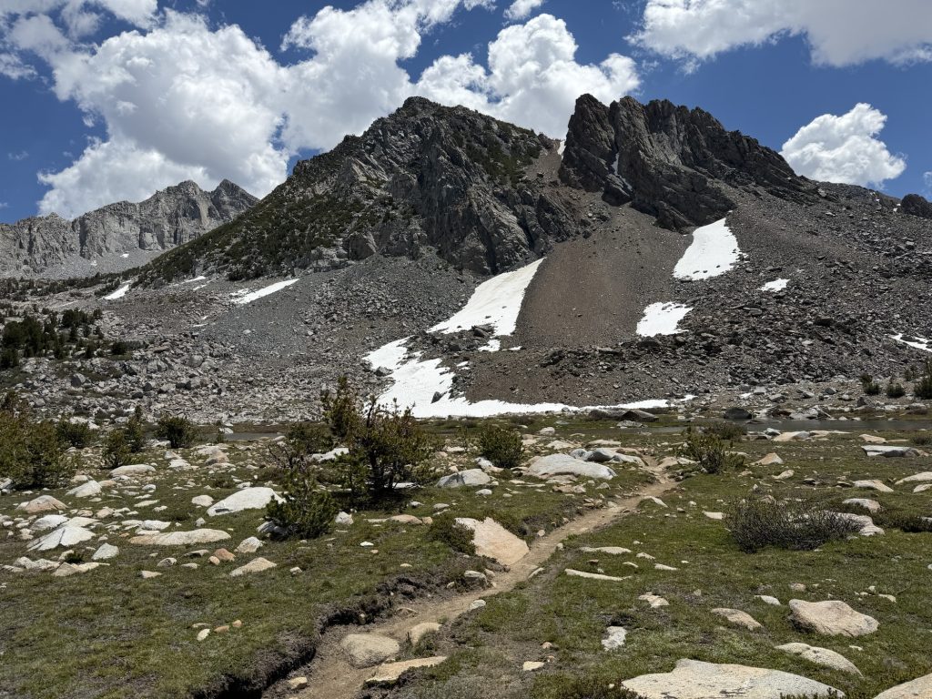
We were up Silver Pass (10778 ft) by 06:30 just as the Sun was starting to really hit the surrounding mountains. Even if the passes are starting to get lower in elevation the views are still beautiful and the accents are still painful.
From here High Stakes and I decended down to towards the valley below. I must have really looked like I was zombie walking because eventually High Stakes stopped me and basically forced me to eat. I hadn’t had much of a breakfast this morning and was definitely feeling well past lethargic. Having now lost 35 lbs it appears my body has few if any reserves. I ate near 1000 calories of snacks. Now feeling much more human, we continued on our way.
We made our way up the nameless exposed accent at 1000 hrs before it was too hot in the day for which I was very grateful. The climb would have been much worse a few short hours later.
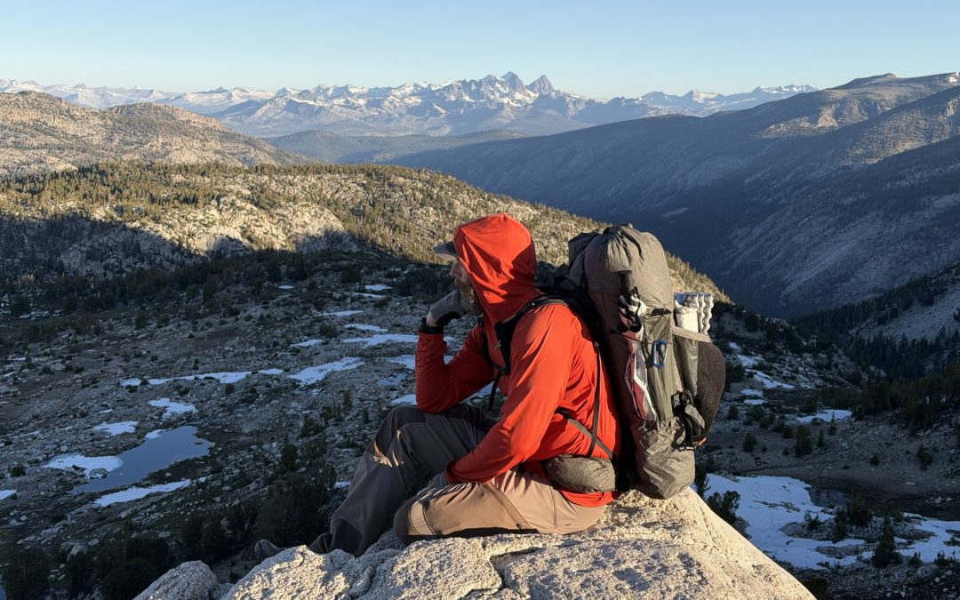
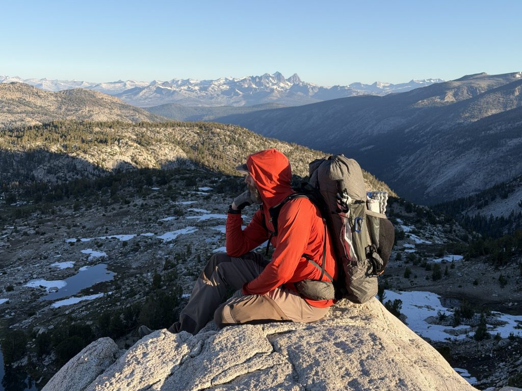
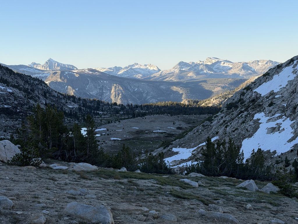
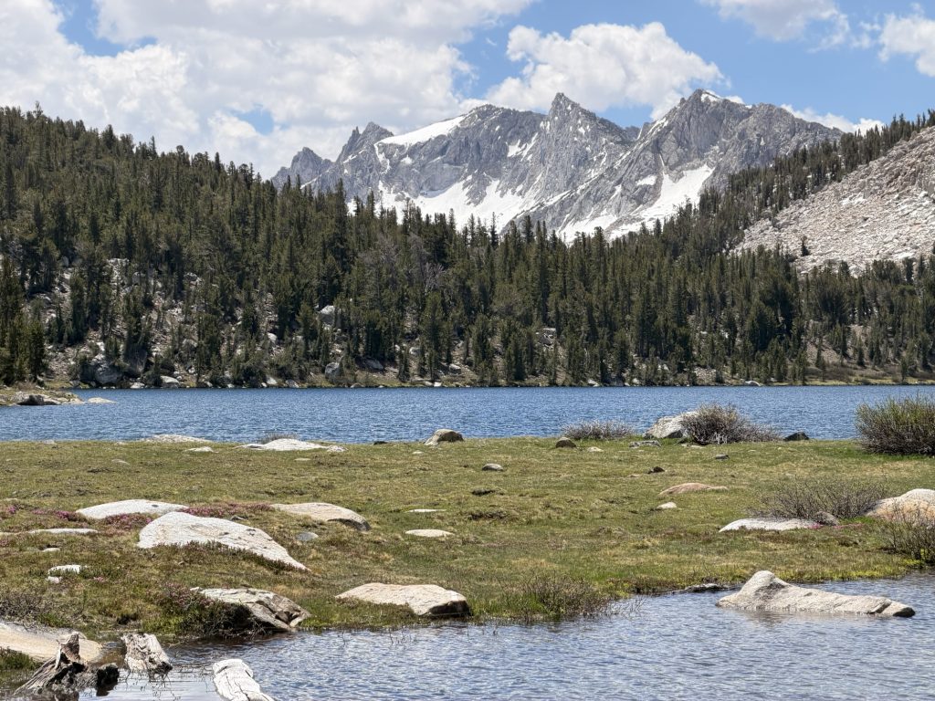
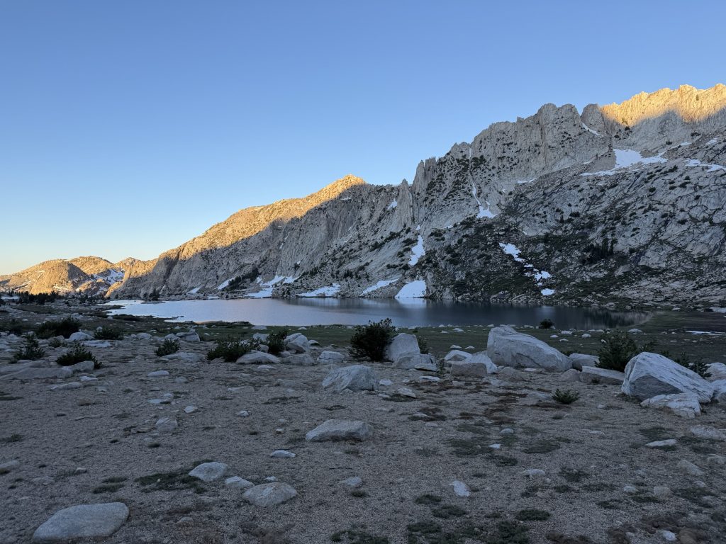
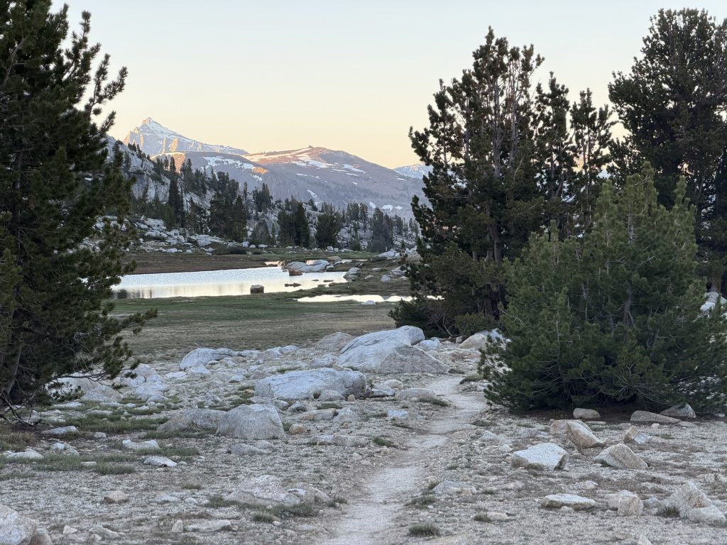
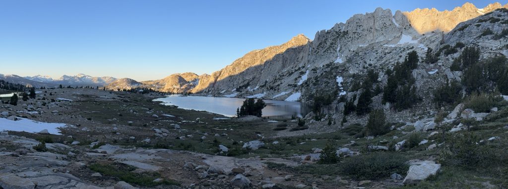
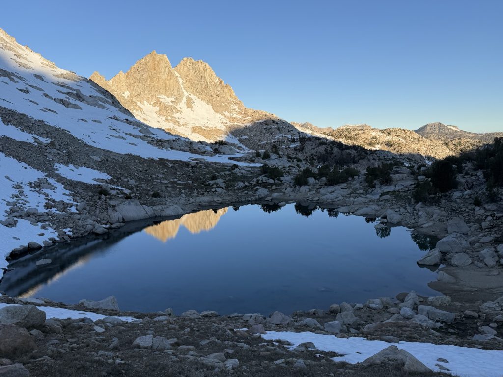
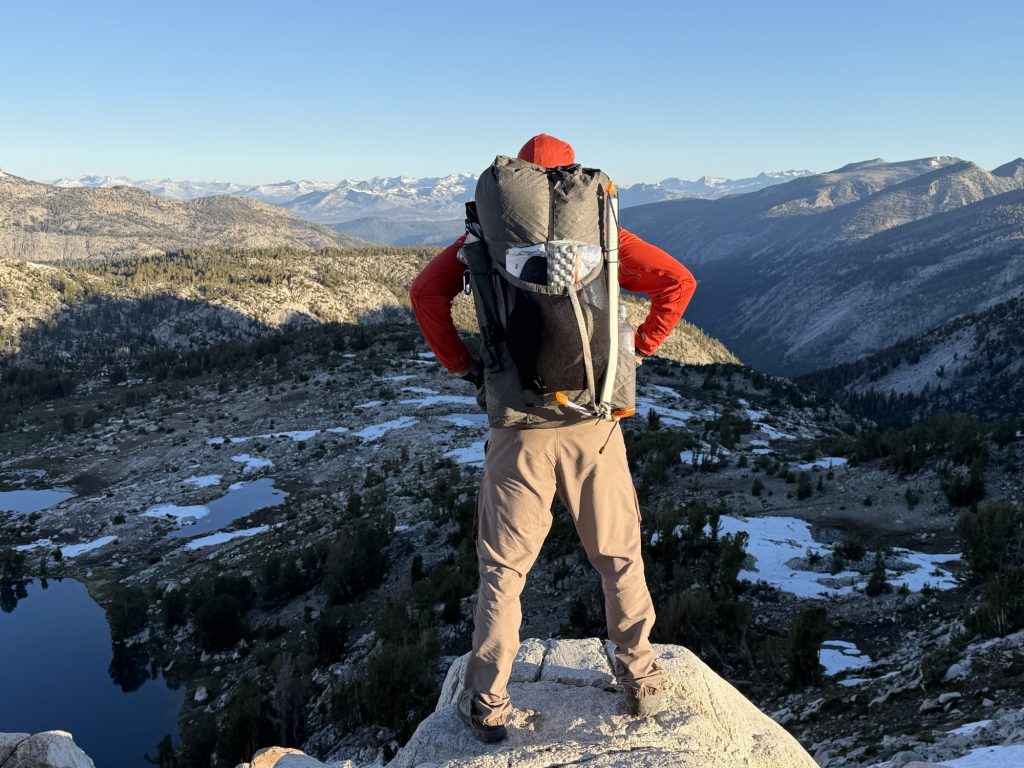
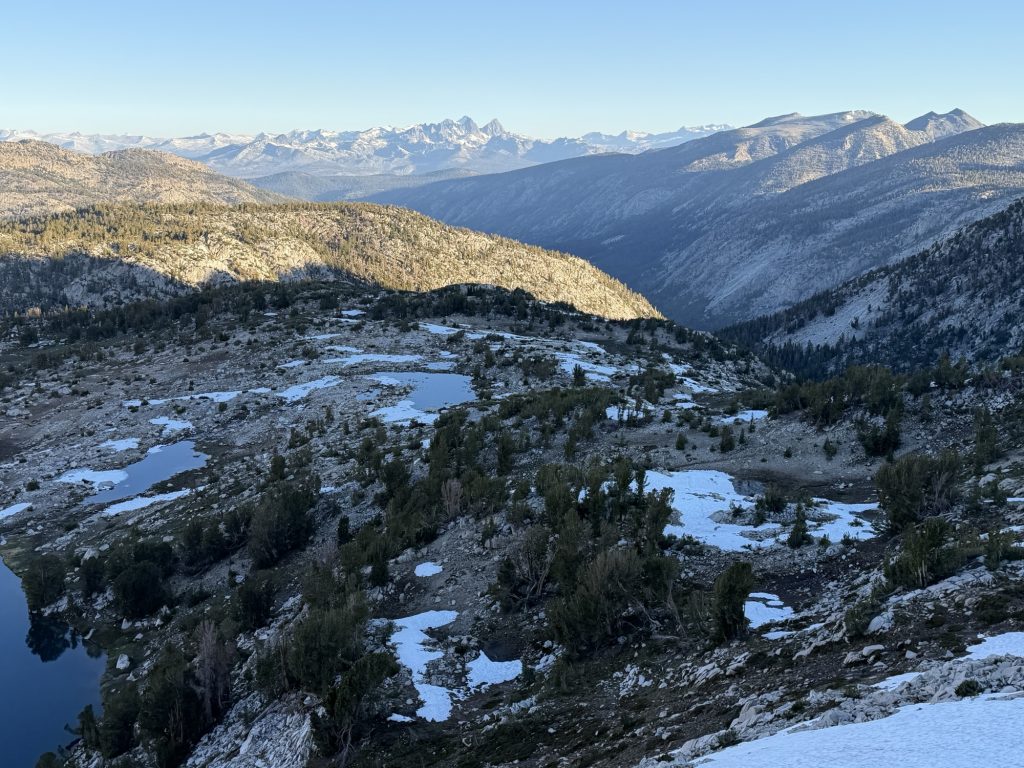
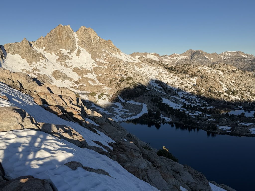
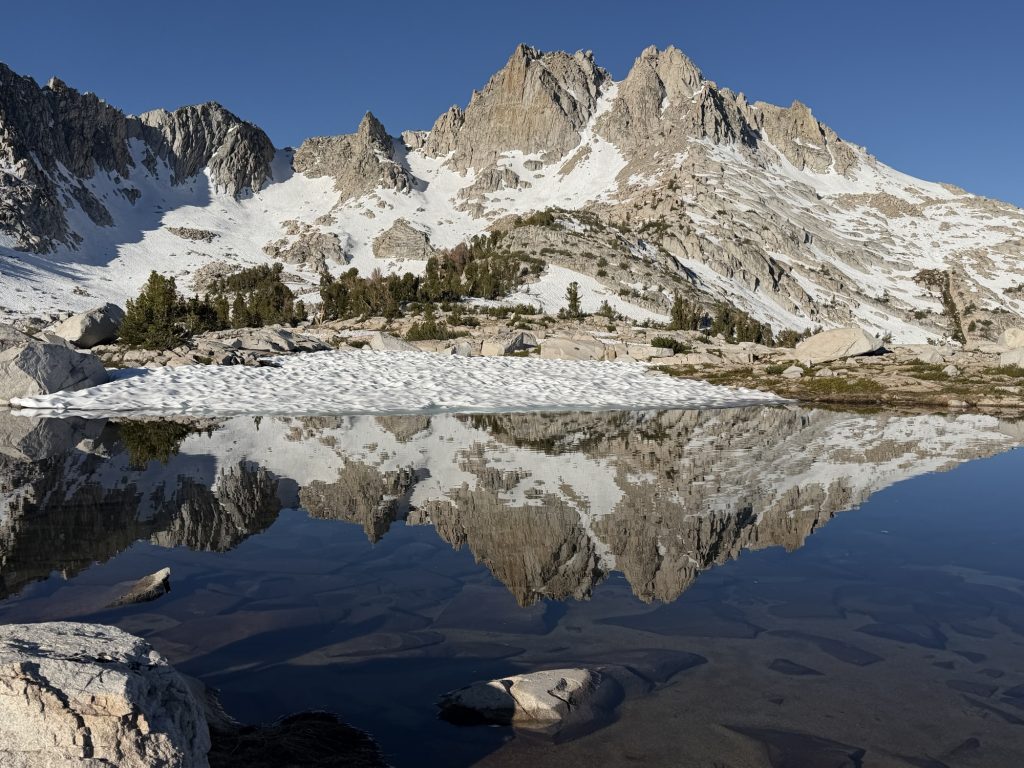
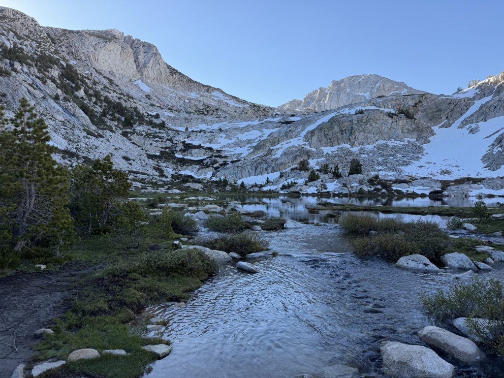
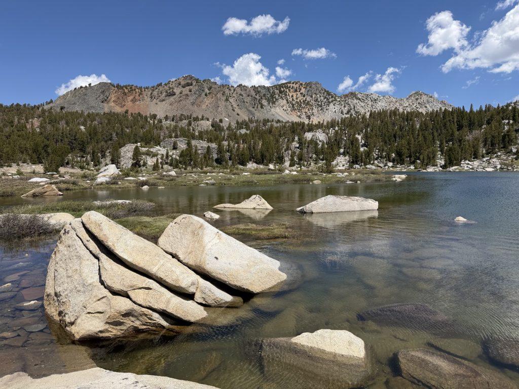
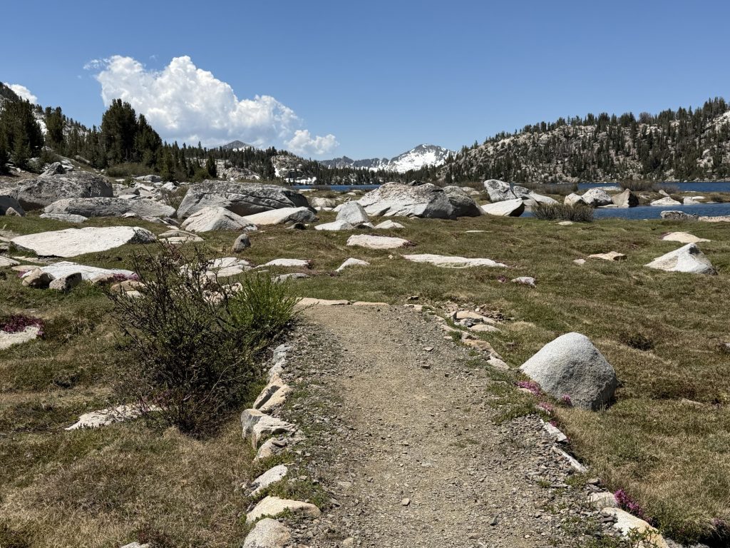
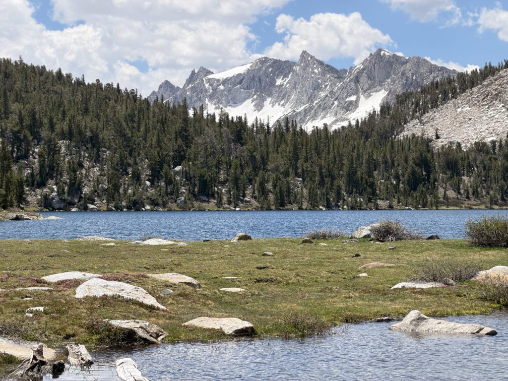
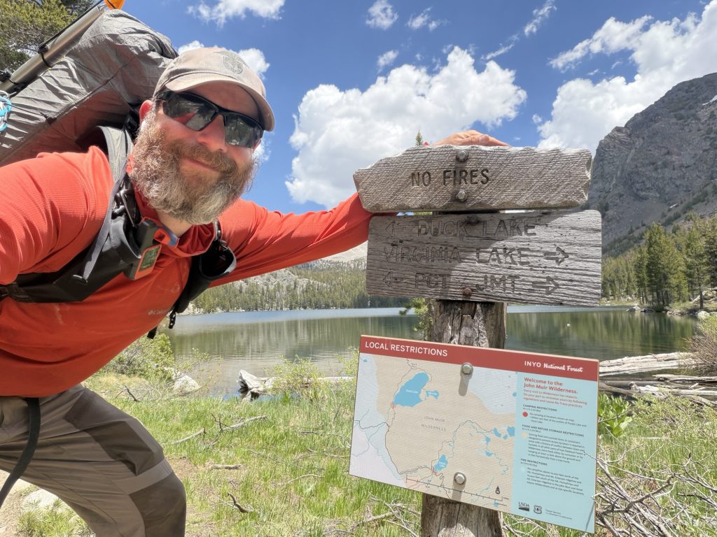
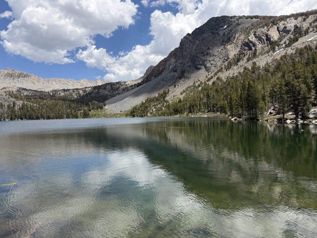
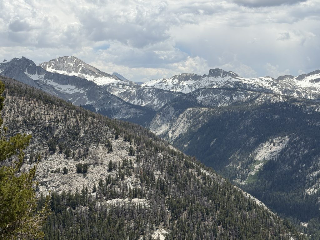
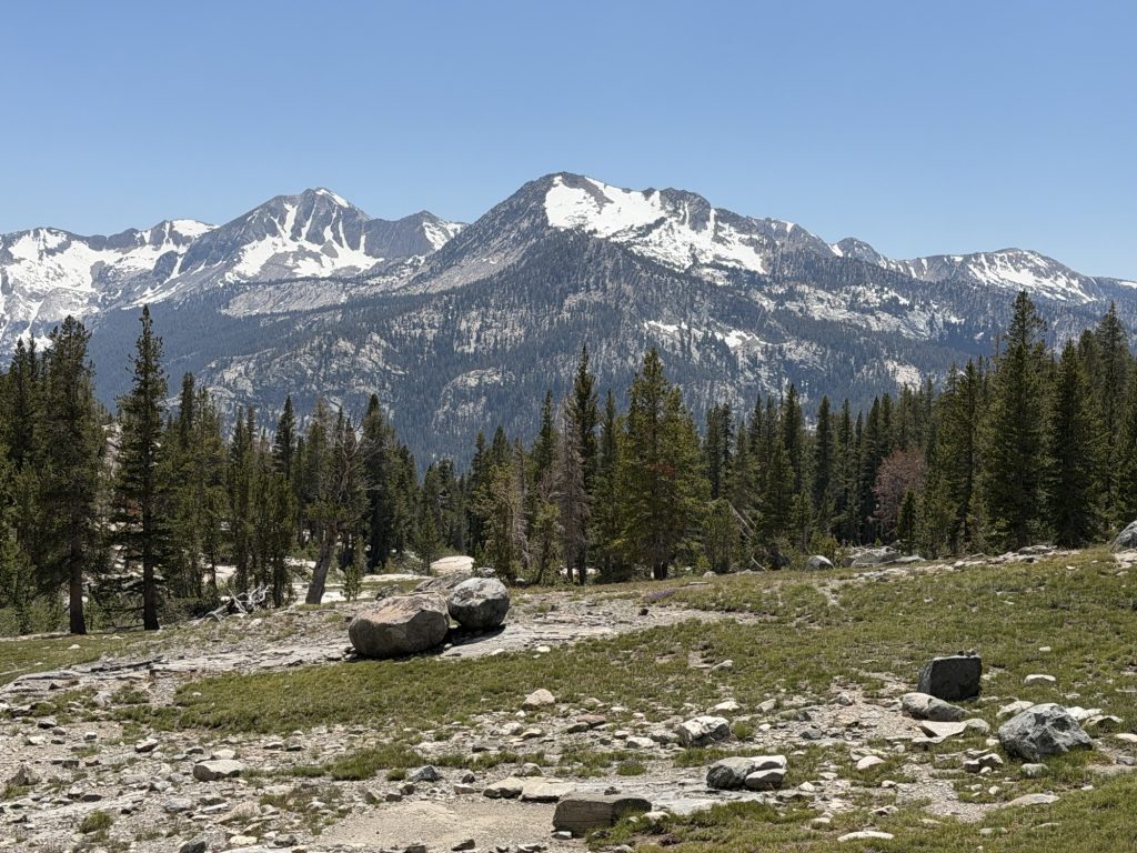
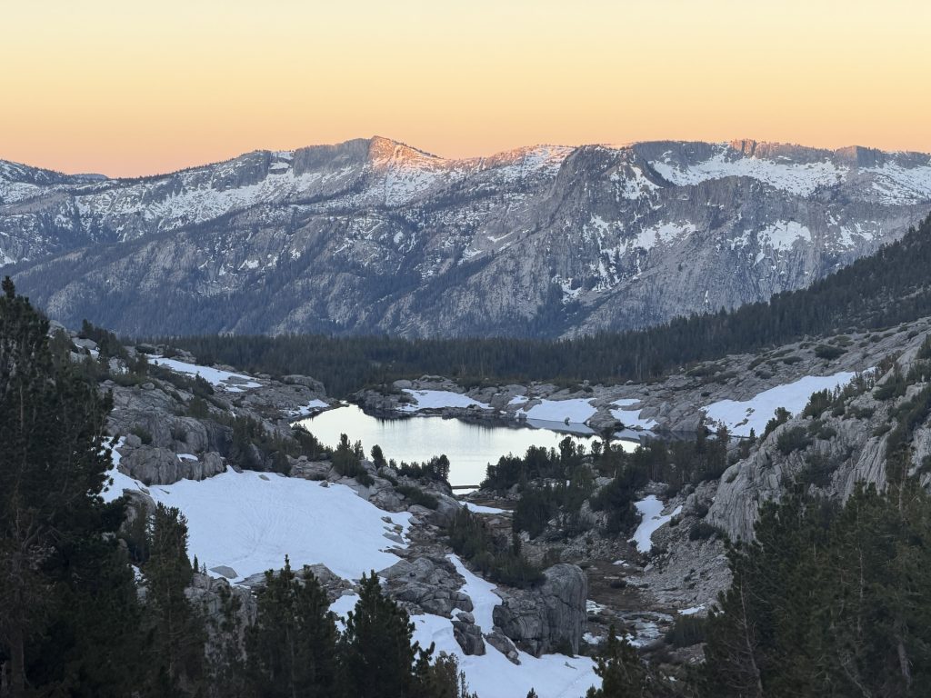
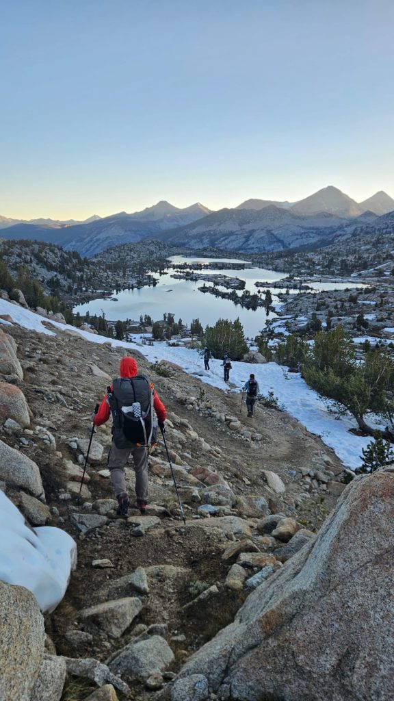
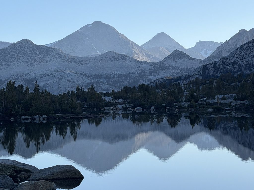
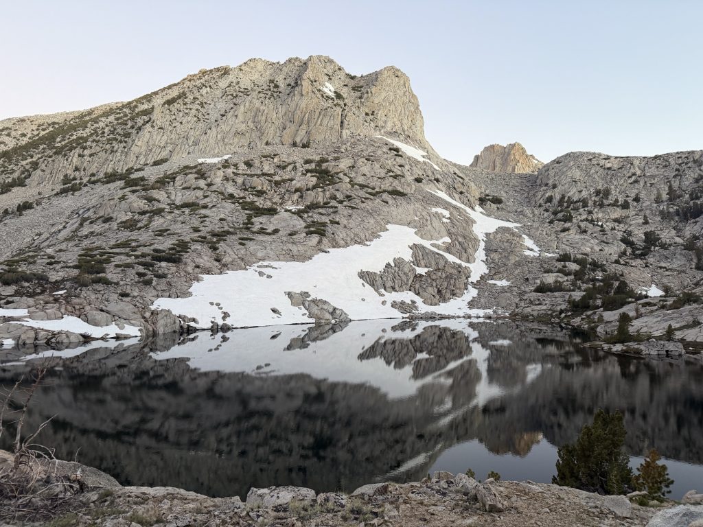
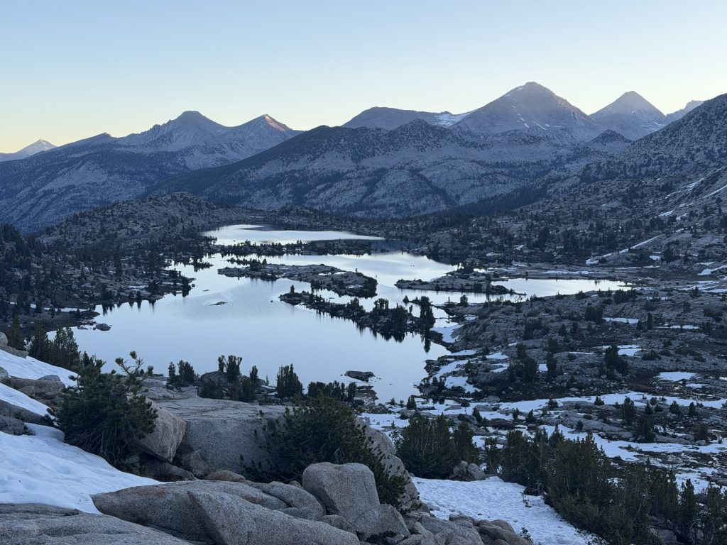
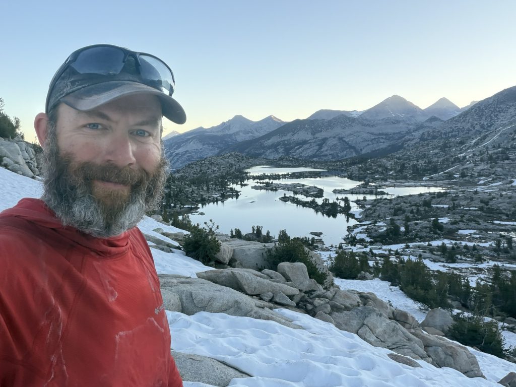
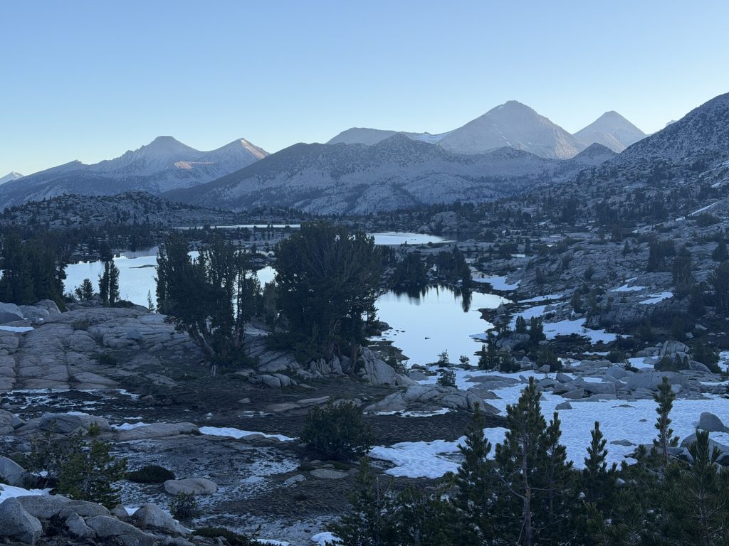
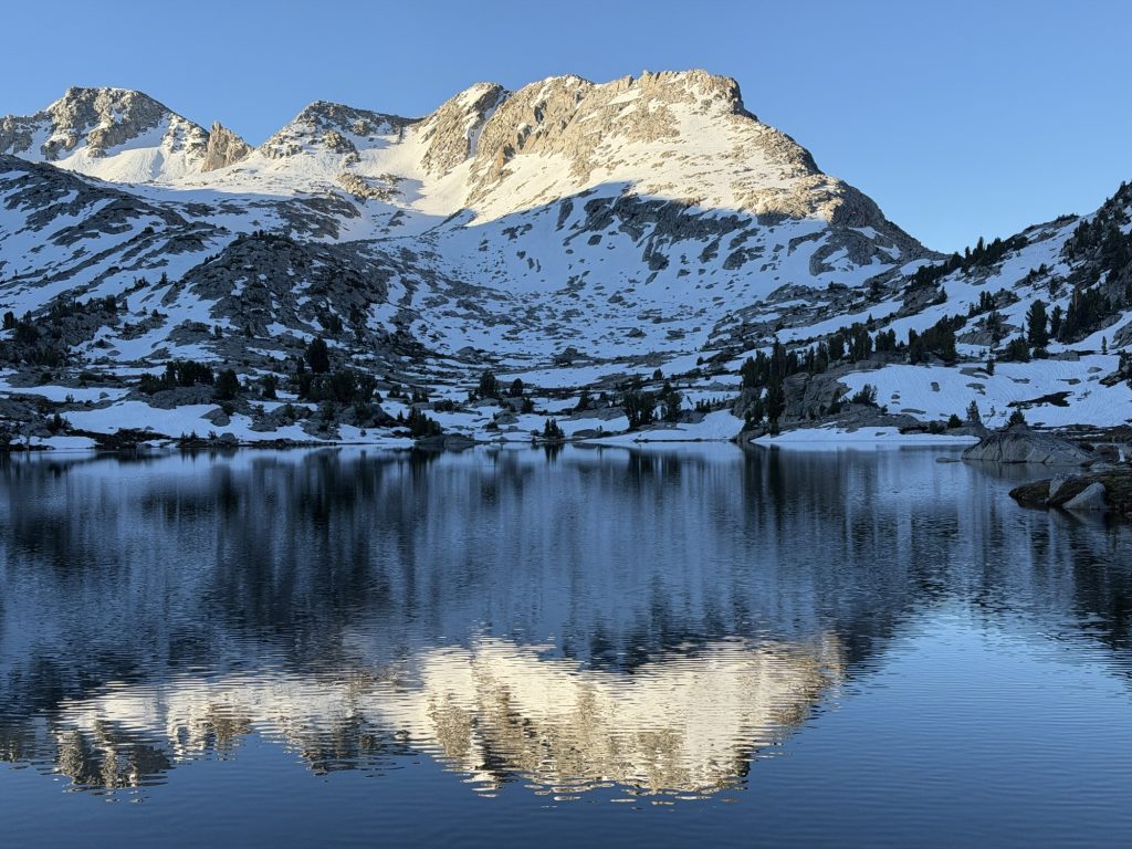
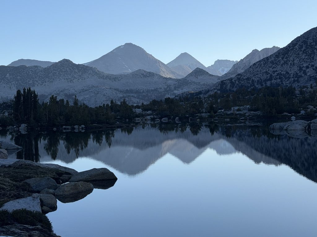
The afternoon was one of my favorites so far in the Sierra. Not only was the trail much more dirt than rock but we past several incredible alpine lakes. Lake Virginia was definitely my favorite even if we had to do an underwater rock hop to prevent us from getting completely wet. On top of this we had great views of the mountains to our west all day long and eventually I believe we could see into Yosemite which isn’t far away!
We crossed paths with a few South bound John Muir Trail hikers and traded intel on the passes ahead. I had hoped to send home my microspikes in Mammoth but based on what they said I’ll hold onto them for a while longer.
The last 5 miles I started to get some pretty significant pain in my lower legs / ankles and needed lots of breaks. I’m really glad that tomorrow we will be in Mammoth and are taking 2 zero days to give our bodies a chance to recover a little and eat as much as possible.
Just shortly before camp we passed the 900 mile marker on the PCT!!!! We are now more than 1/3 complete the trail and have less than 200 miles left of the Sierra section but still a long way left to Canada.
The Sierra Nevada has been everything I hoped it would be and everything I feared it might be. The scenery has been absolutely breathtaking. Towering granite peaks, alpine lakes, snow-covered passes, and some of the most beautiful landscapes I’ve ever experienced. But it’s also been the hardest section of the trail so far.
The days have been defined by long climbs, thin air, rocky terrain, and carrying heavier food loads than anywhere else on the trail. Every pass seems to reveal another pass. Every exhausting climb is rewarded with incredible views that somehow make you breifly forget how much your legs hurt.
There have been moments when the Sierra felt relentless. The combination of elevation, distance, and terrain can wear you down physically and mentally. Yet looking back now, those are the days I’ll probably remember most clearly when this journey is over.
Mammoth feels like a turning point. Almost every hiker I’ve talked to says the trail begins to ease up after this section. The climbs become more gradual, resupplies become easier, and the miles start coming a little faster. After weeks of grinding through some of the toughest terrain on the PCT, that’s a welcome thought.
Of course, “easier” is a relative term when you’re still walking across the United States. 900 miles down. A lot more trail ahead. One step at a time.
PCT Day 69 – Vermilion Valley Resort (VVR) to PCT mile 883.6 via Mono Creek Trail
June 12, 2026
Total PCT miles: 2.3
Non PCT miles: 6.9
Total: 9.2 miles / 14.8 km
Total elevation gain: 3114 ft
Total elevation loss: 1106 ft
Steps: 27136
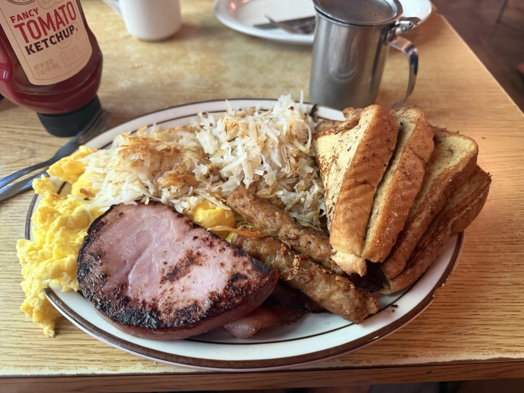
It was nice to “sleep in” this morning, getting up around 0700 hrs with the sun warming my tent and the sound of VVRs generator starting up. It was also nice to have a real breakfast with eggs, bacon, ham and French toast even if it was almost 40 dollars Canadian. I did mention VVR was really expensive yesterday right?
Since High Stakes and I are planning on taking it slow to Mammoth we had a lazy morning. We planned to leave at 0900 ish but that eventually turned into 1030 as we both were really good at procrastinating. The rest of our group left at 0500 and will get to Mammoth a day earlier than us.
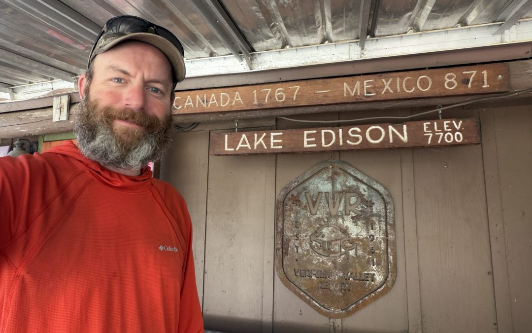
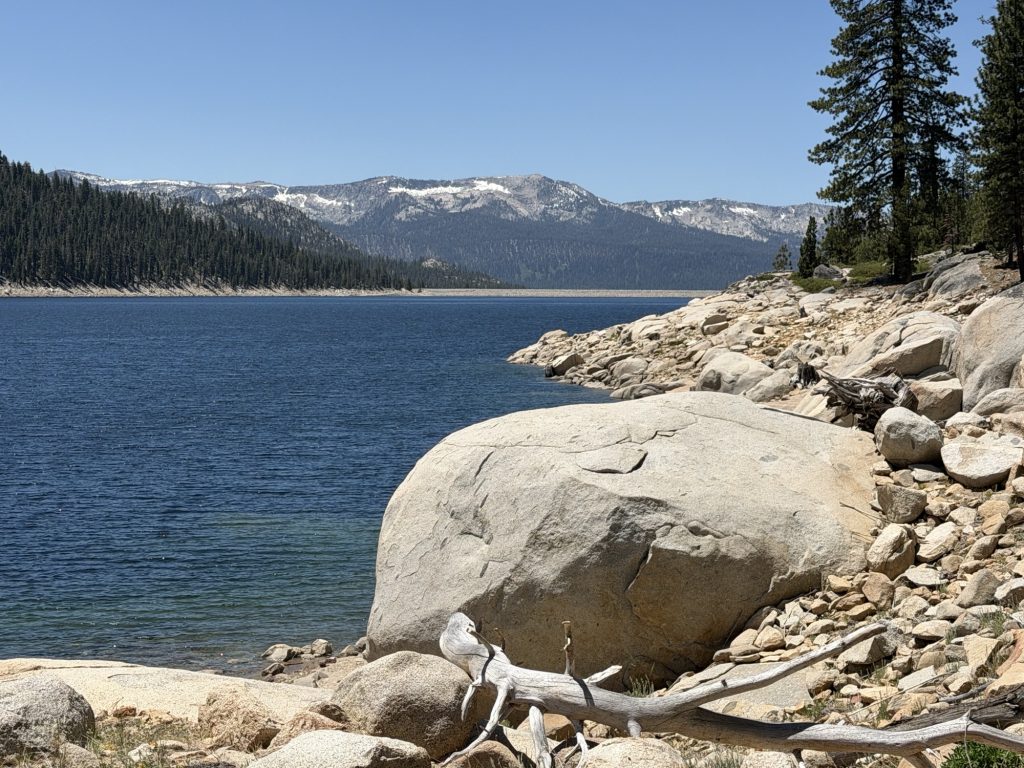
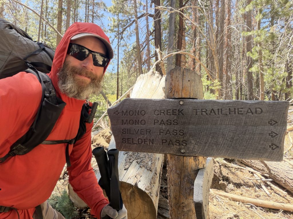
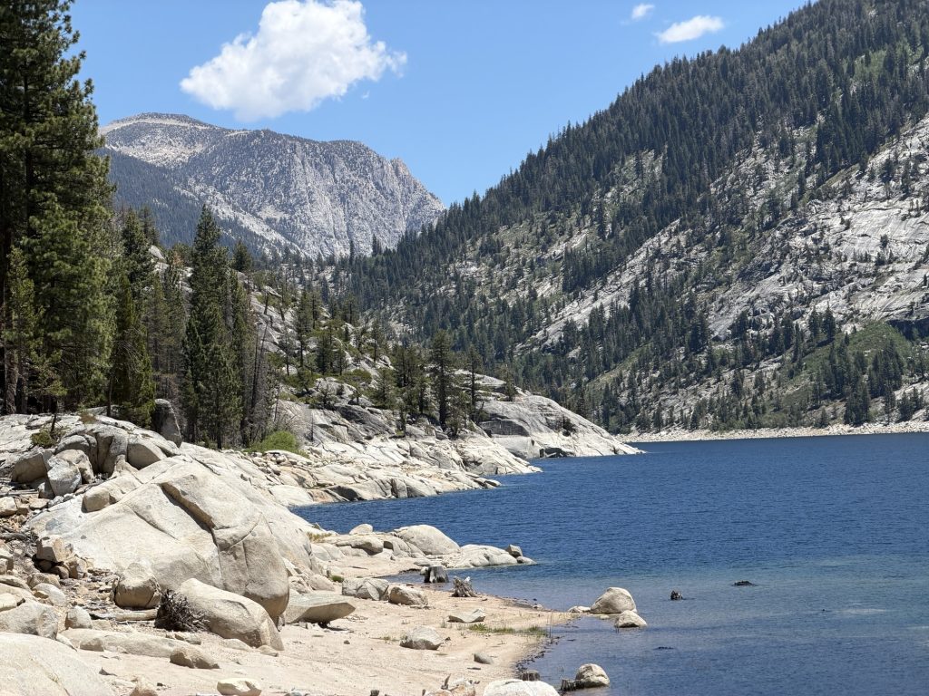
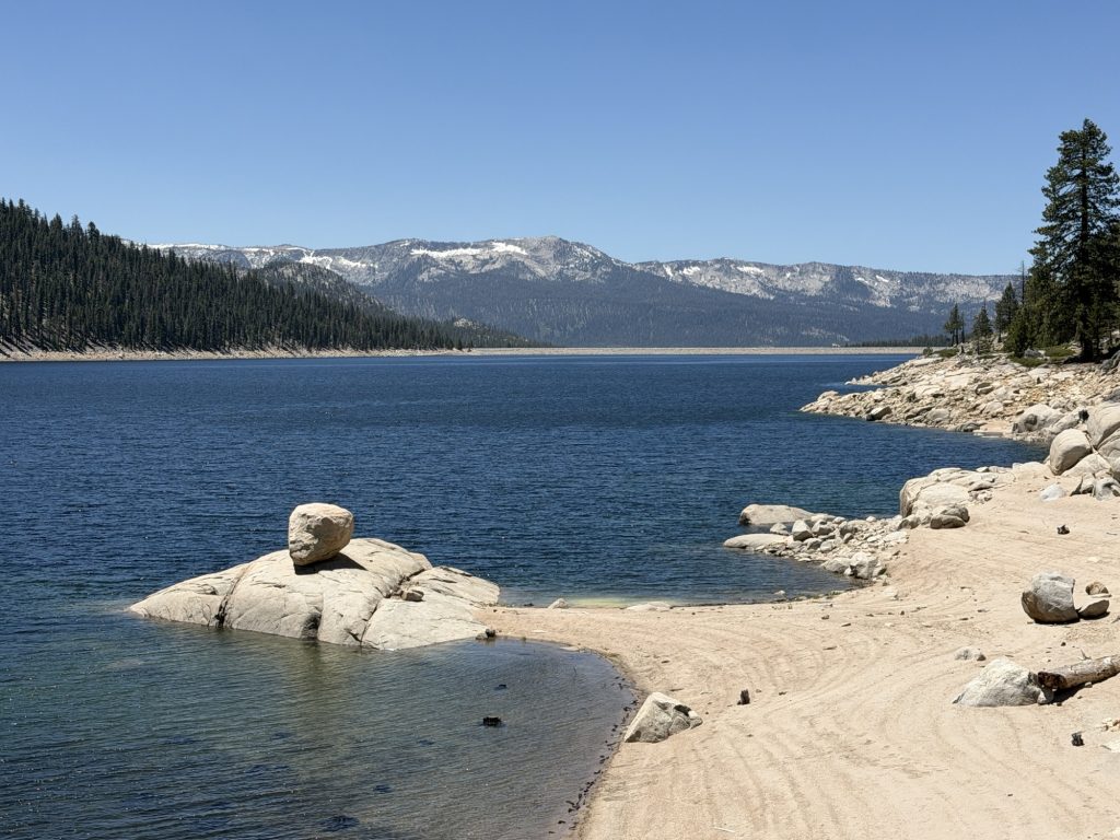
Afraid we were going to end up just spending the entire day and vortexing in VVR we finally said enough is enough and got on our way. We took the Mono Creek Trail that goes along the west side of Lake Edison back to PCT as a result I technically skipped approximately 4.9 miles of the trail. But I had to hike almost 14 to do it so I’m more than okay with it.
We thought the Mono Creek Trail would be a leisurely walk along the lake. We were wrong. It was well over 1000 ft of accent and decent to go over some pointless ups and downs.

We joined up with the PCT and started climbing up towards Silver Pass. Our plan was to get close enough so we can cross it early tomorrow. It’s unseasonably hot for June in the Sierra. Today was 23 degrees, no wind, no clouds just hot sun blazing down which made the climb up slow and sweaty. It didn’t help that a good portion of the trail was steep stairs made of rock. We had two creek crossings that required taking off our shoes… both times i stood in the cold water for several minutes.
That’s about it for today. I’m sure if you’ve read the last few days you’ve probably gathered that I’m not having the most fun out here and you would be correct in that assumption. I think the combination of elevation, heat, miles, backpack weight, not eating enough and not sleeping the best is catching up to me. That’s okay, I didn’t expect this to be easy and honestly I’m still embracing the suck for the most part anyways. But I’ve decided that I will take two zeros in Mammoth to hopefully get some actual rest. In Mammoth I’m getting my new pack and I can start mailing home a few things like my Ice Axe. Also after Mammoth the elevation does really start to go down and the food carries are not as long. hopefully by the end of next week more normal temperatures will return!
PCT Day 68 – PCT mile 865.4 to Vermilion Valley Resort (VVR) via Bear Ridge Trail
June 11, 2026
Total PCT miles: 10.3
Non PCT miles: 7
Total: 17.3 miles / 27.8 km
Total elevation gain: 2379 ft
Total elevation loss: 4921 ft
Steps: 41062
I’m not sure what to write about today. This stretch in the Sierra has definitely been the hardest physical thing I have ever done. Everything hurt by the end of the day. My knees from the constant rock stairs I follow to go down a mountain pass. My ankles from all the weird awkward steps I take on various rocks. My hips from carrying the bulk of weight of my pack and subsequent rash I’ve developed. My back and shoulders, also from said pack. My arms from using my trekking poles constantly to help me along my way and my head. Oh don’t forget my poor feet that spent a good part of the day wet. Thruhiking is hard work.
I was shocked when I woke up at 0400 this morning to get ready to leave that I didn’t have much of any condensation in or on my tent. Camped literally next to an alpine lake I expected to wake up a semi soggy mess. Small victory! By 0500 we were moving up the final 1.7 miles and 1000ish feet of elevation to the top of Selden Pass (10913 ft). There was barely any snow on the accent and the maybe quarter mile on the decent was surprisingly solid. There would be no post holing today! The views from the top of the pass as the sun was rising were beautiful but no where near as dramatic as some of the higher passes.
From here we started a long descent following Bear Creek. As we continued to descend the creek for larger and more ominous. In a few short miles we would cross it. Bear Creek is another notorious water crossing on the PCT and today it was flowing. The water was up to my mid thigh, maybe slightly higher and the current was strong. I almost lost my footing more than once. Looking back on it our group just kinda went for it individually instead of working together to make it safer. Fortunately everyone passed safely and other than my shoes being wet for most of the rest of the day no harm was done.
We continued along the side of Bear Creek for a few more miles crossing many streams that feed into it getting feet and shoes wet more than once. Then started the second climb of the day.
By now my legs were screaming at me and most of the group was feeling the pain of the last several days. But we took limited to no breaks as VVR and the promise of real food was calling our names. We reached the Bear Ridge Trail around 11:00 and started the long decent. By now we were basically marching zombies with one thing on our mind “foooooooooood”.
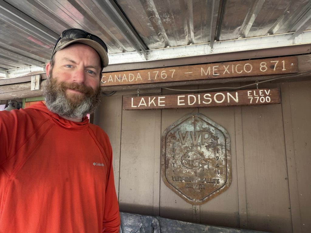
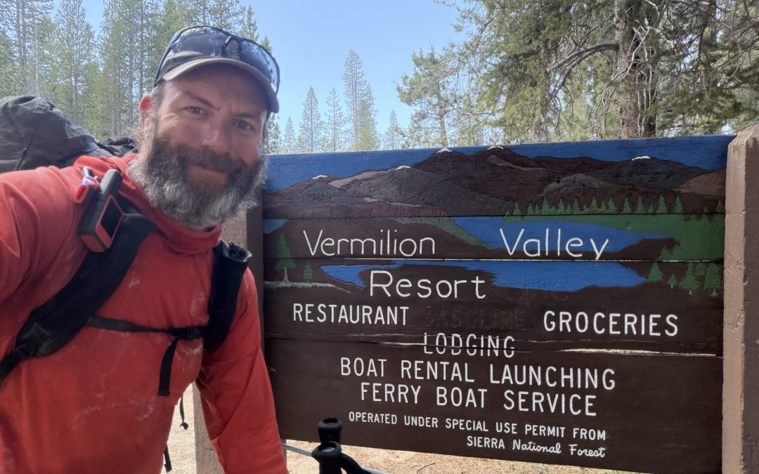
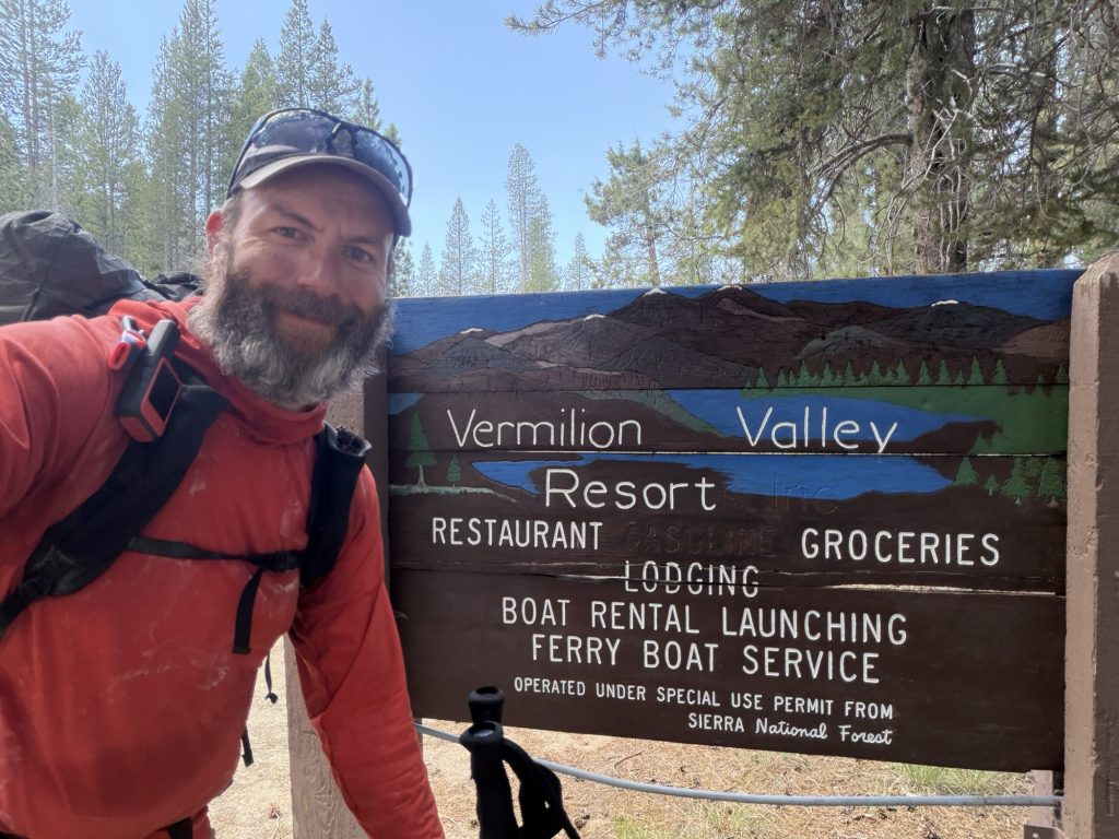
Vermilion Valley Resort (VVR) is a common stop for PCT hikers to break of the Bishop to Mammoth food carry. There is free camping and thru hikers get one free drink but everything else is pricey. Want to do Landry 10$. Want to have a shower 10$. WiFi 20$! Food from the restaurant is expensive and so is the resupply. Fortunately they are nice enough to open a tab for you so you don’t know how much you spent until you leave. Also fortunate is Mammoth isn’t far away so you don’t need a large resupply. It was nice to get here around 1400 hrs. But 17 miles in the Sierra without breaks by 1400 is a long hard day.
There is a weight scale here. When I started the trail I weighed about 230lbs. Today I weighed in at 195 lbs. My hip belt on my pack is almost as tight as it can go and my pants that were tight when I started the trail are a number of sizes too large. It’s safe to say if you want to loose weight the PCT diet is the way to go.
High Stakes and I have decided to take a slower pace and take two and a half days to get to Mammoth instead of just two. The rest of our group is pushing forward on the original timeline but we are both exhausted. This will also allow us to get into town early and maybe actually relax.
The good news of the day is my replacement back pack has arrived in Mammoth and im already starting to make a mental list of the things I can start to mail home to lighten the load and hopefully reduce some of the pain.