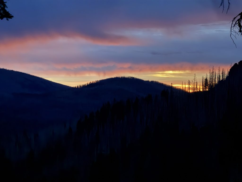
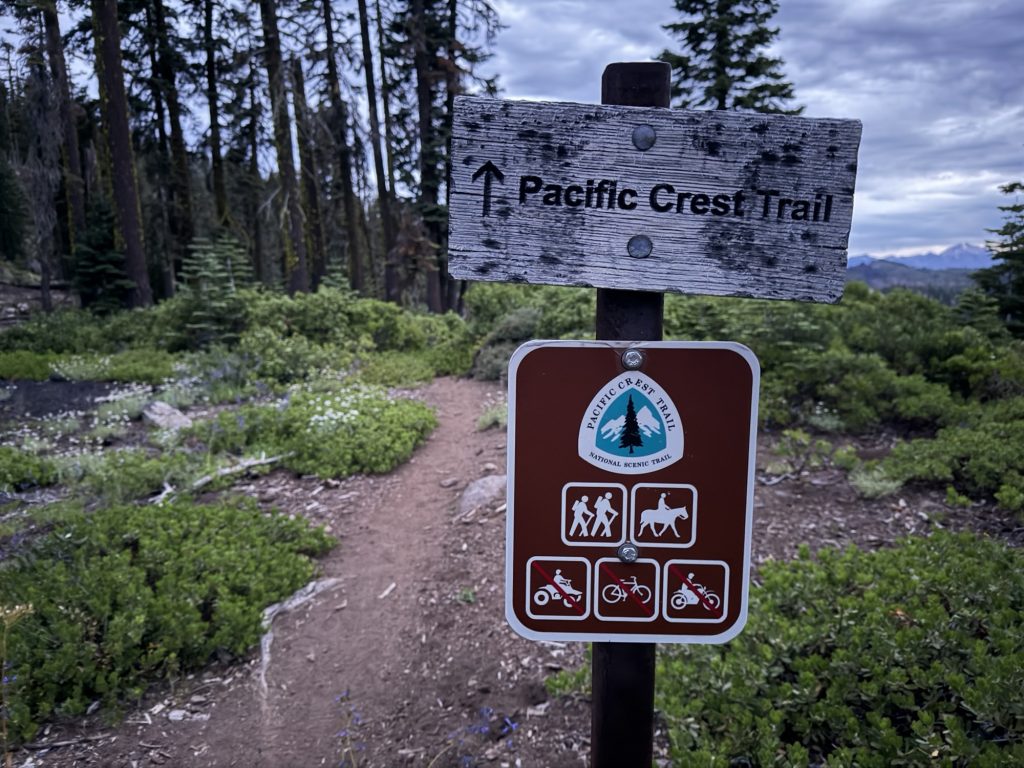
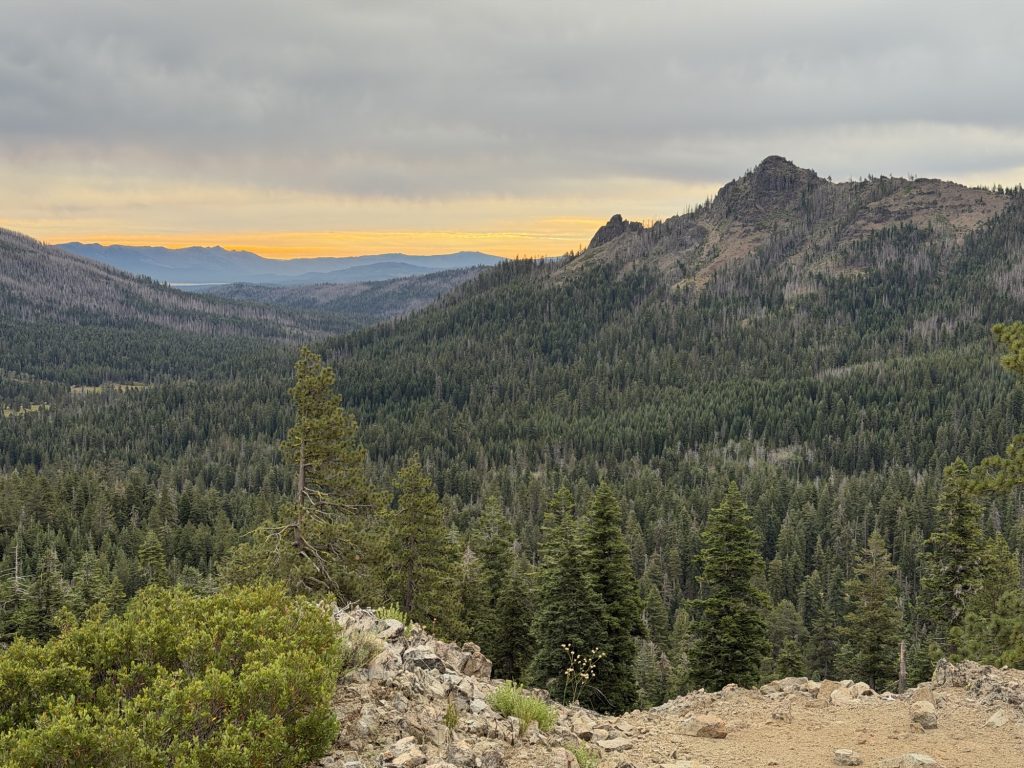
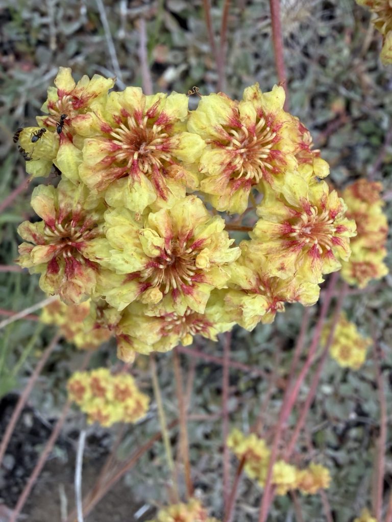
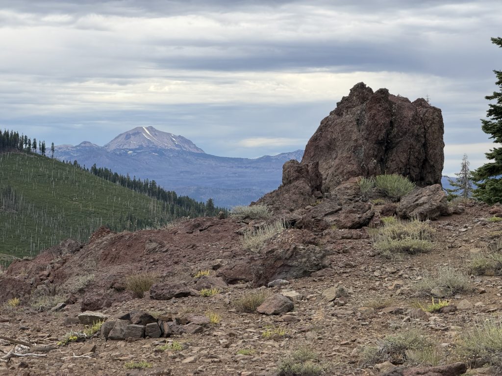
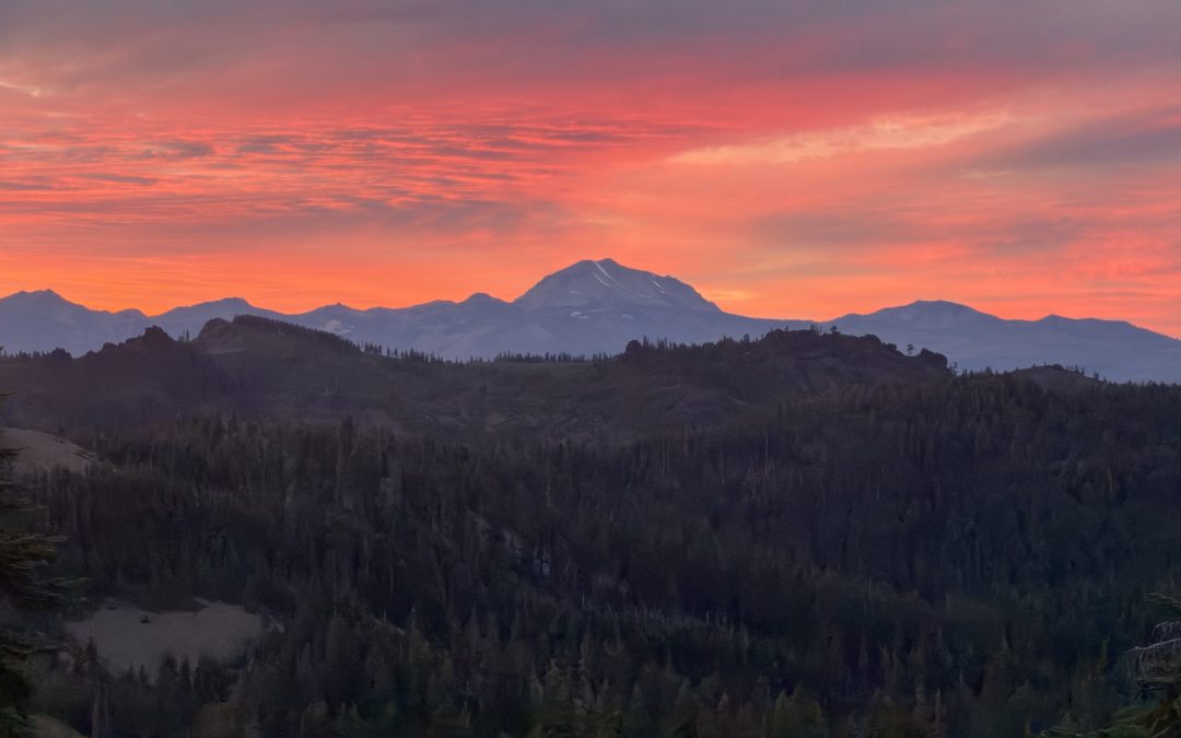
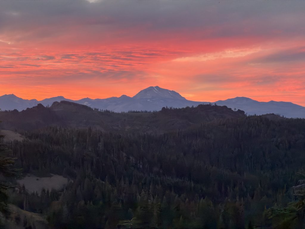
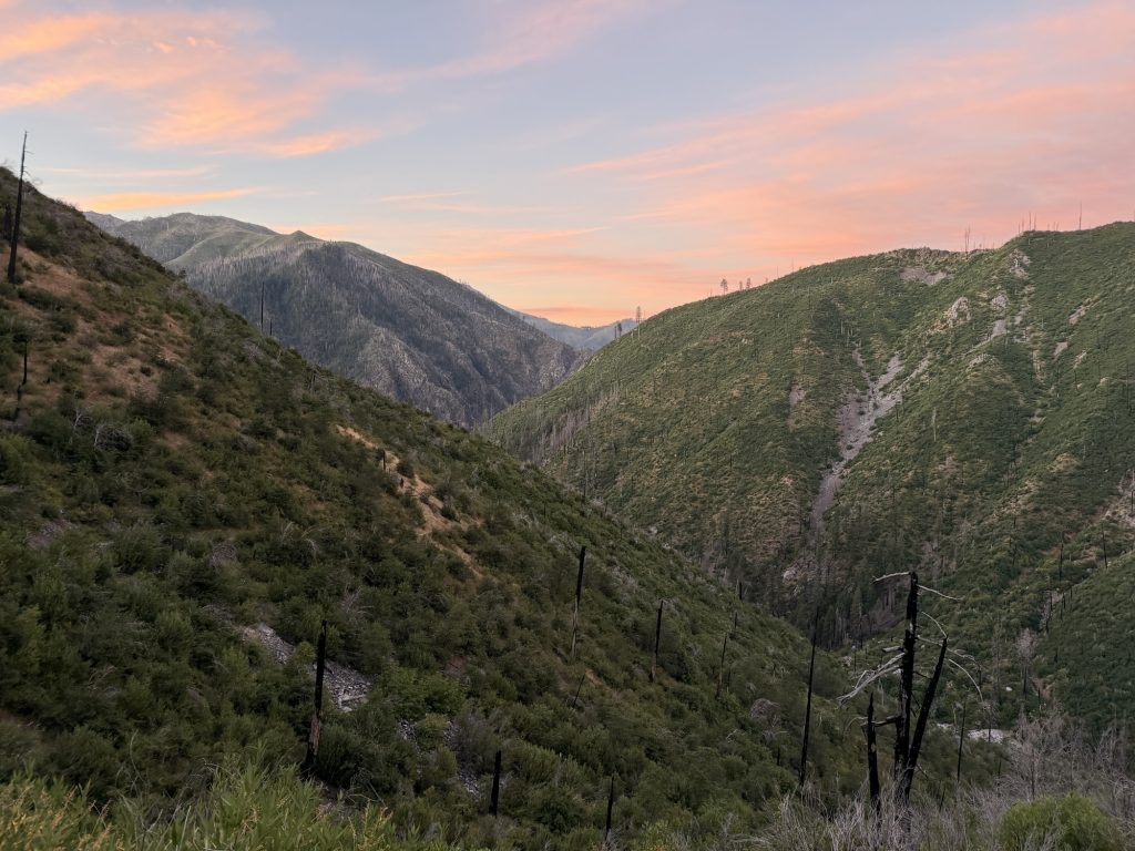
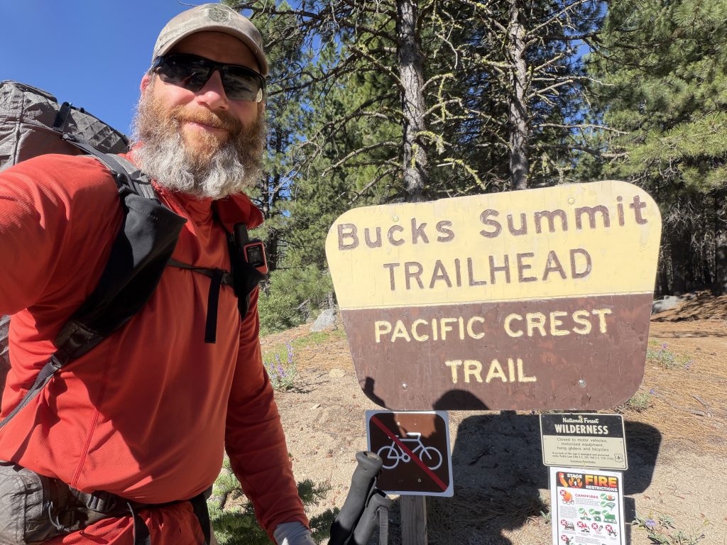
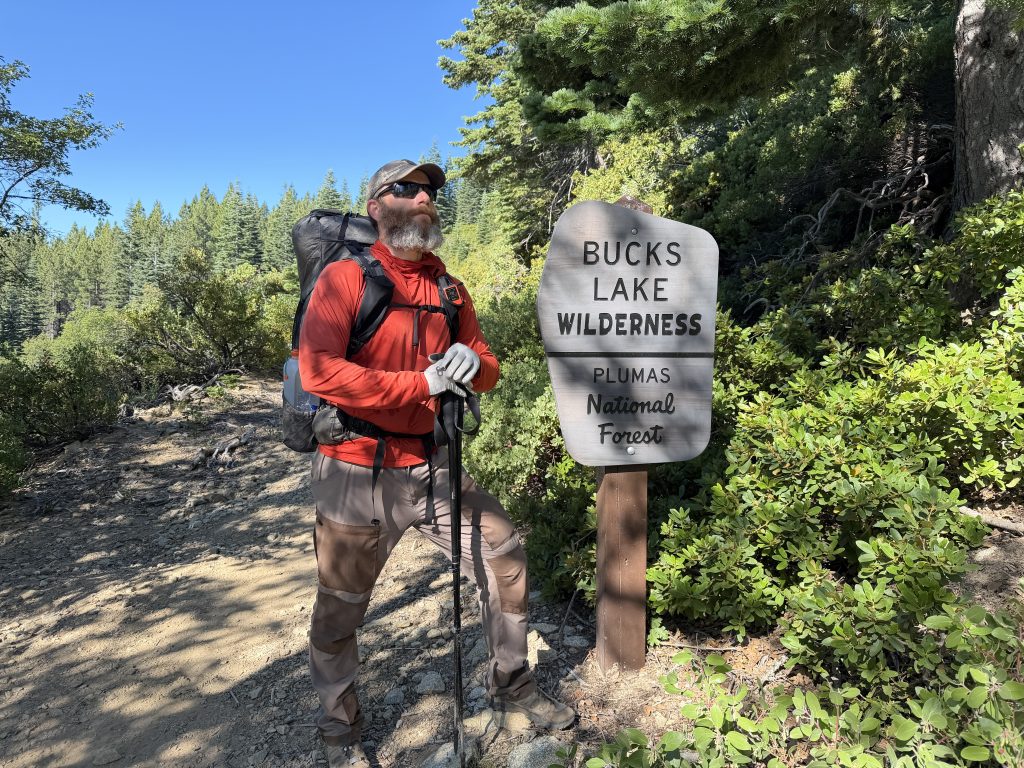
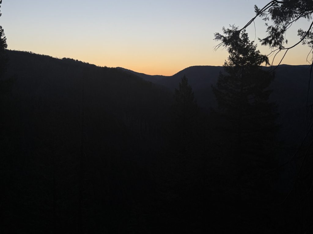
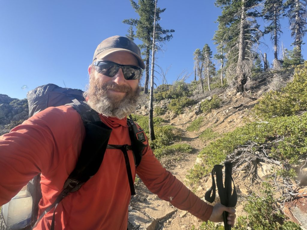
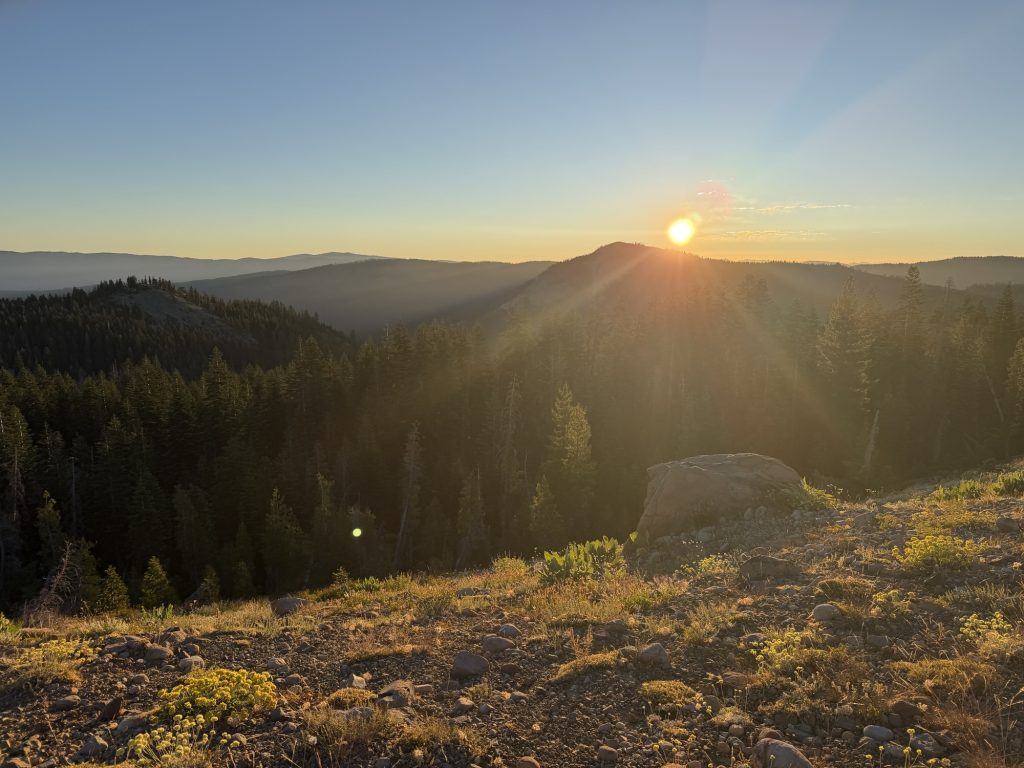
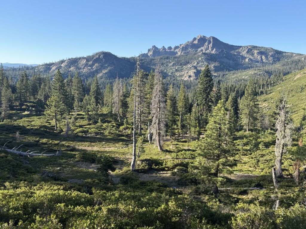
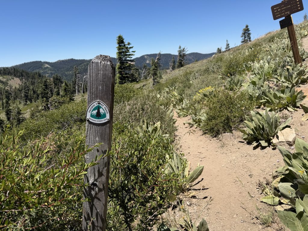
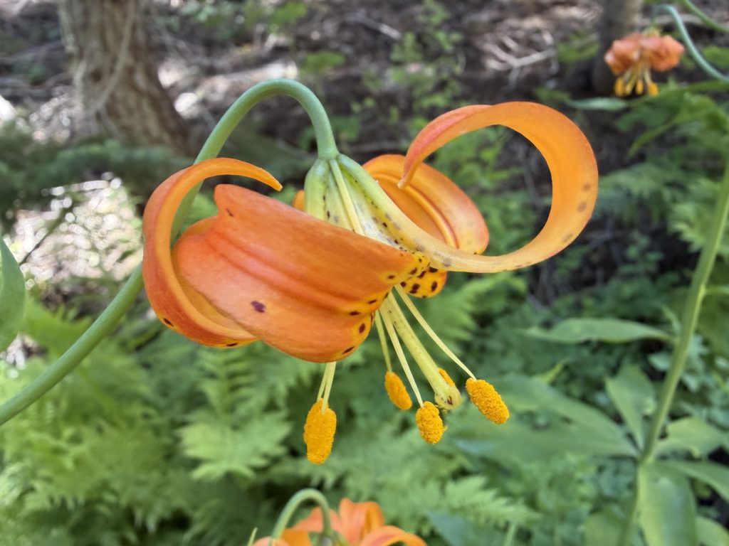
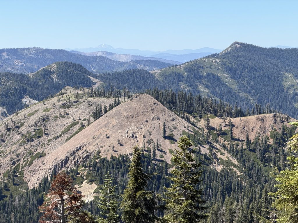
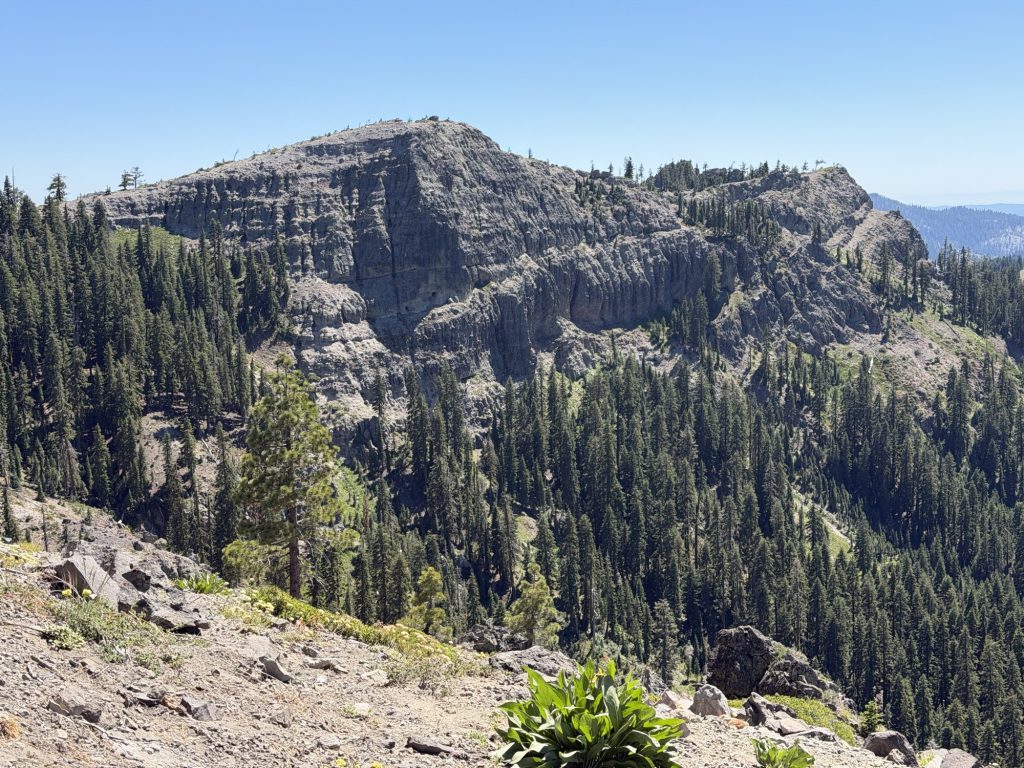
I was up early, just as the sun started to outline the mountains far off in the distance. I should have stayed and watched the sun rise from where I was because it was spectacular. But instead I had made the decision to start hiking as the sky was being illuminated in bright reds and oranges. No doubt due to the pollution from nearby wildfires. One started yesterday between here and Quincy.
I over did it yesterday and my body was letting me know this. My sciatic nerve on my left side was on fire radiating pain down my entire leg. I’ve been having issues with my sciatic nerve since the Sierra. Some days it really bothers me and others it does not. But nothing was going to stop me from reaching my goal today. I took my time and took lots of breaks.
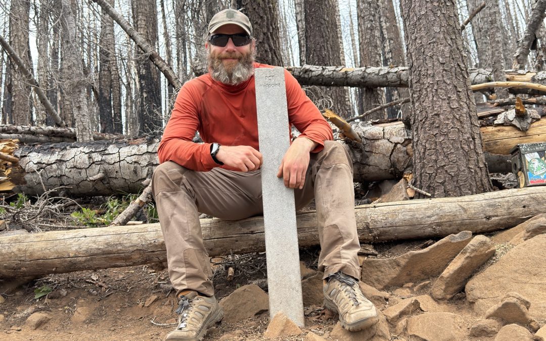
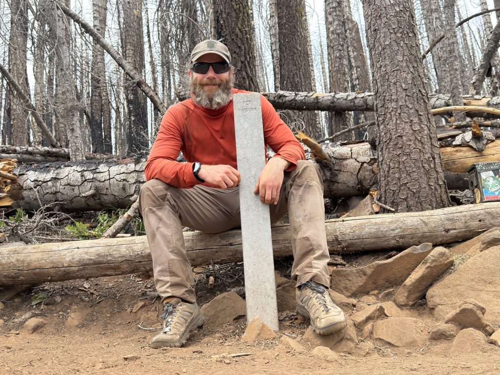
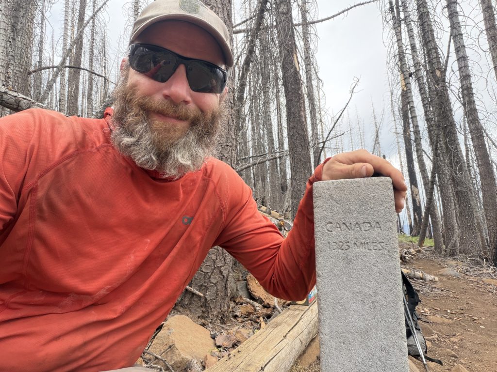
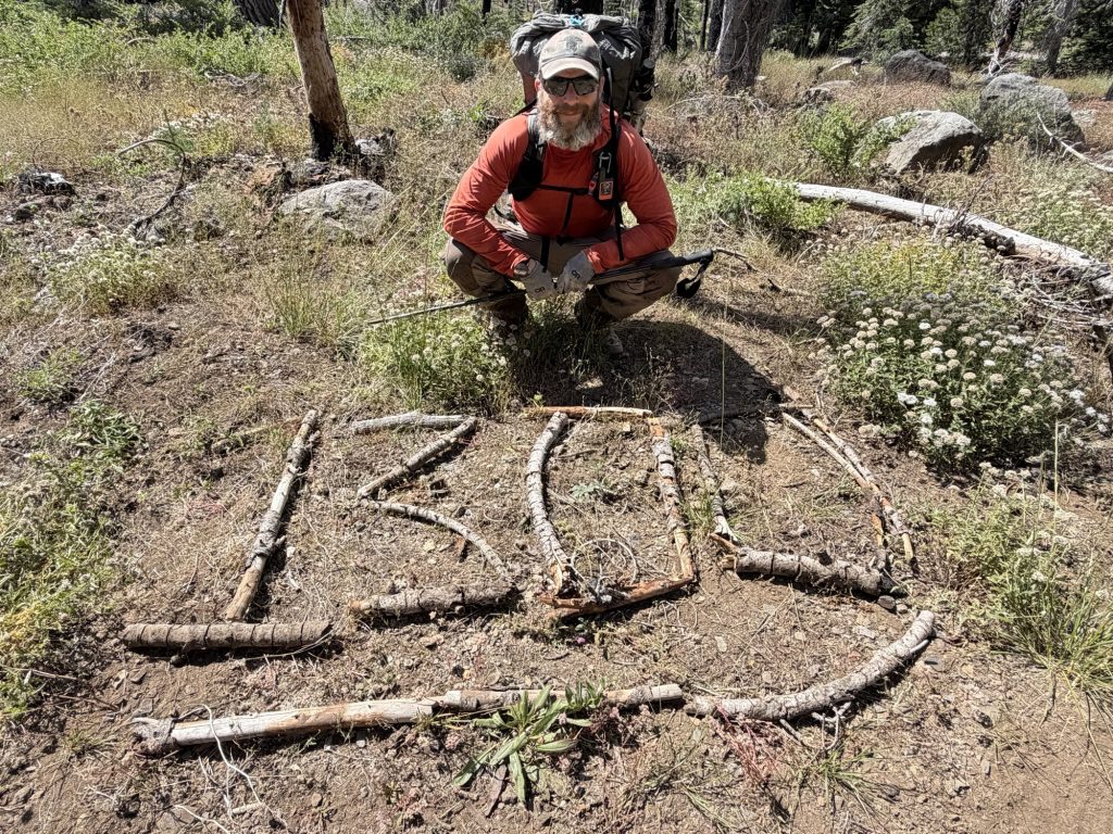
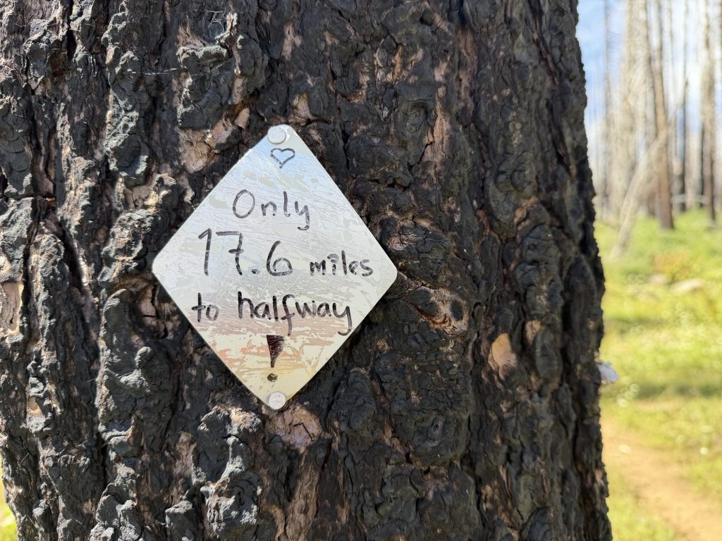
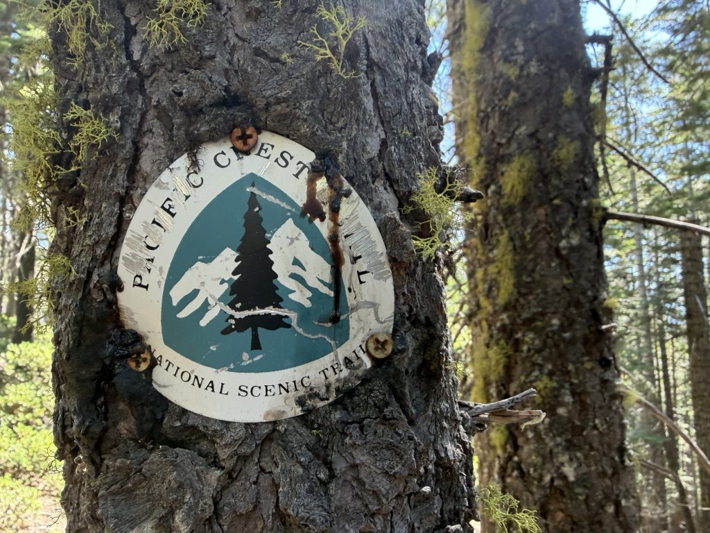
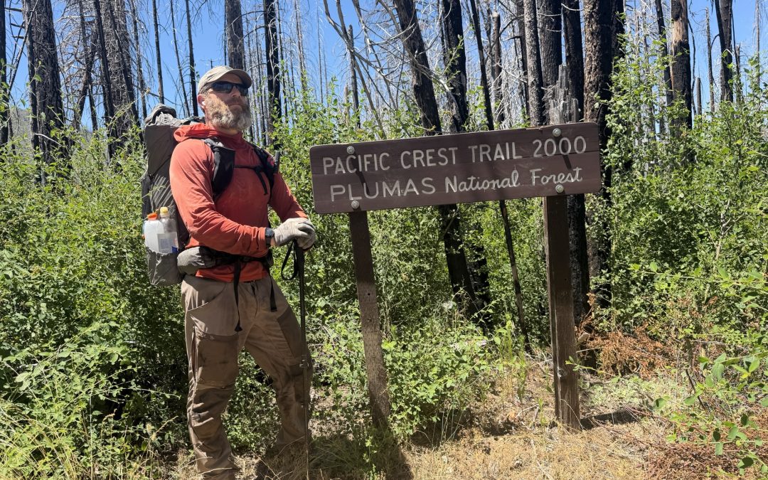
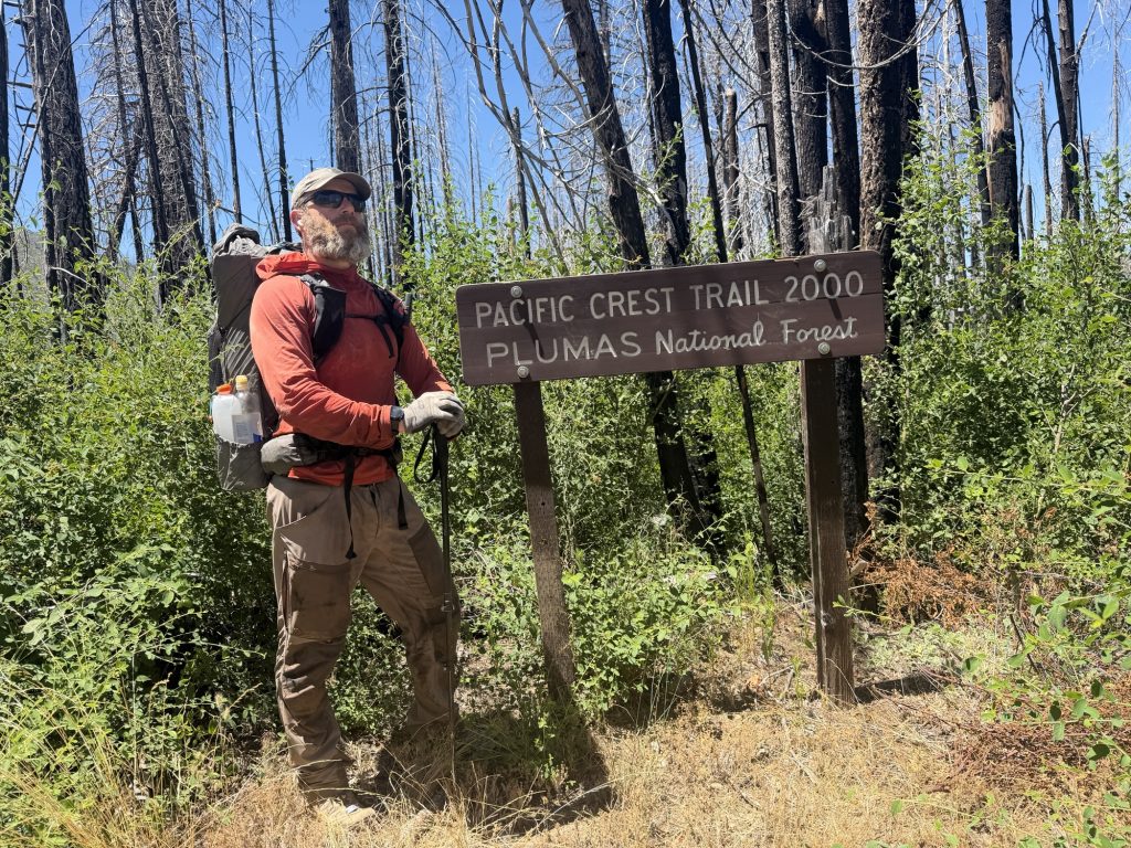
Today I reached the halfway point of the Pacific Crest Trail.
When I stood at the Mexican border 99 days ago, I honestly wasn’t sure I would ever make it here. I knew the statistics and my own personal tract record having only done 200 miles in 2018. I knew how many people start a thru-hike and never reach this point. Between the desert heat, my ankle injury early in the hike, the Sierra Nevada, my sciatica, and all the unknowns that come with walking across a country, this milestone always felt incredibly far away.
Yet 3.2 million steps later here I am.
One of the things I’ve learned over the last 99 days is that thru-hiking can be deceiving. On any given day, it often feels like you’re not accomplishing much. You wake up, pack your tent, and start walking. By the end of the day you’ve covered another ten to twenty-something miles, crawl into your sleeping bag, and when the sun comes up, it feels like you’re starting all over again. Back at zero miles for the day.
But that’s the beauty of this trail.
Progress isn’t measured by one incredible day. It’s built one ordinary day at a time. Every climb, every blister, every early morning, every tired step slowly adds up. You don’t notice it happening until one day you look behind you and realize you’ve walked 1,325 miles from Mexico… and Canada is now only 1,325 miles away.
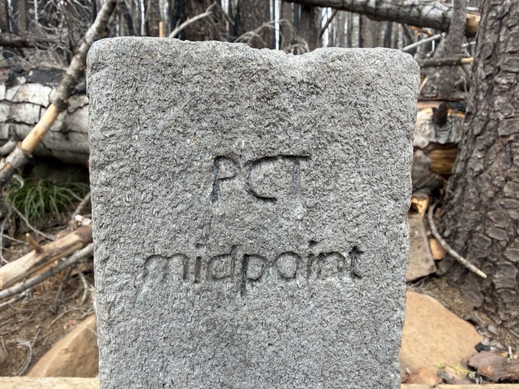
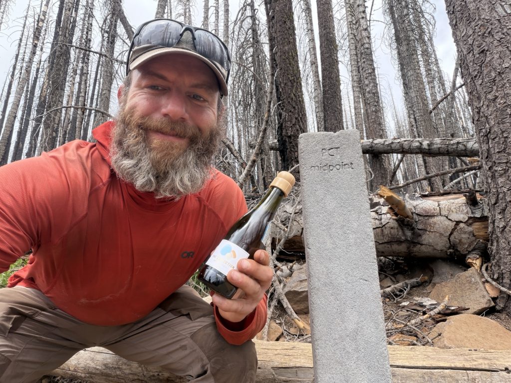
The halfway marker itself is surprisingly understated. There’s no giant monument or elaborate sign. Just a simple concrete marker with “PCT Midpoint” engraved on it. One side reads “Mexico 1325 Miles”, the other “Canada 1325 Miles.” That’s it. After everything it takes to get there, I think its simplicity makes it even more meaningful.
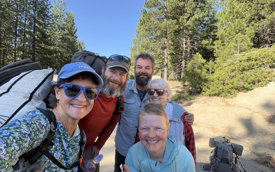
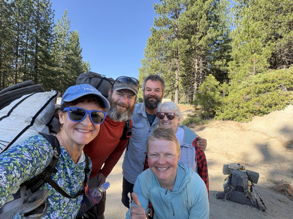
The night before, some incredibly kind trail angels gave me a small bottle of champagne. It seemed only fitting to carry it the final miles and celebrate at the halfway marker. Standing there, raising the bottle in the middle of the forest, was a moment I’ll never forget.
As if reaching halfway wasn’t emotional enough, Mel somehow found another way to surprise me. She put together a gift with more than 70 video messages from family, friends, and my colleagues back home, all wishing me well on the rest of the journey. Watching those familiar faces from thousands of miles away was incredibly special, and I can confidently report that it definitely did not make me cry.
(Okay… maybe just a little.)
Reaching the halfway point also came with one of the toughest decisions of the hike. After a lot of thought, I’ve decided to skip approximately 300 miles of Northern California, from Chester to Seiad Valley. My goal has always been to walk every mile of the Pacific Crest Trail, so this wasn’t a decision I made lightly. But I also have another adventure waiting at the end of September, and I want to finish the trail with enough time to spend a little while at home with Mel, my family, and friends before heading off to New Zealand.
Rather than spending the next two months constantly racing the clock, I’ve chosen to make a strategic skip through a section many hikers consider less iconic than what lies ahead. While I won’t be walking every mile, I’ll be hiking every remaining mile from Seiad Valley to Canada, and I know I’ll arrive at the northern terminus with memories and experiences that few people are fortunate enough to have.
Today isn’t the finish line. There are still 1,325 miles between me and Canada, and I know there will be plenty of difficult days ahead. But today also proved something I wasn’t sure of back on April 5.
I belong out here.
The trail has challenged me, humbled me, and changed me. It has taught me that big goals aren’t accomplished all at once. They’re achieved by showing up every single day, putting one foot in front of the other, and trusting that all those ordinary days will eventually become something extraordinary.
Halfway to Canada.
Let’s go.
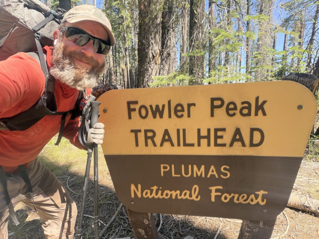
After about 30 mins I left the 1/2 way marker and started my way to the trail head only 8 or so miles away. I’m not sure if It was the champagne or the emotions but my sciatic nerve finally calmed down and I was making good time.
It was hot and there wasn’t a lot of water in this stretch so when I finally got to the first stream I’d seen all day I drank 2 liters of nice cold water! I arrived at the trail head at around 1500 and waited for GunSlinger to arrive. He’s section hiking the parts of the trail he missed in 2023 due to fires and the record snow year and had his car at the trail head. I’m grateful for the ride into town he provided and wish him well in completing the rest of the PCT this year.
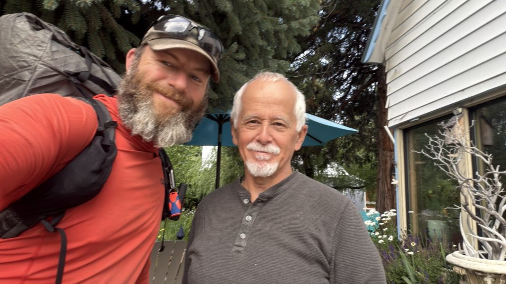
One of the highlights of this section wasn’t on the trail at all—it was meeting Dale in Chester. After I posted on Facebook looking for advice on getting from Chester to Seiad Valley, Dale reached out and offered a place to stay for the night. I pitched my tent in his backyard, enjoyed my first real shower in days, caught up on laundry, and we shared a fantastic homemade chili over great conversation. It turns out he’s originally from Canada, so we had plenty to talk about. Trail angels like Dale are a reminder that the PCT isn’t just about the miles—it’s about the incredible people you meet along the way. Next week he’s heading out on his very first overnight backpacking trip, and I wish him nothing but the best. Thanks again, Dale, for your kindness.
PCT Day 98 – Belden Town (1288.5) to PCT mile 1313.4
July 11, 2026
Total PCT miles: 24.9
Non PCT miles: 0
Total: 24.9 miles / 40.1 km
Total elevation gain: 7575 ft
Total elevation loss: 3166 ft
Steps: 61539
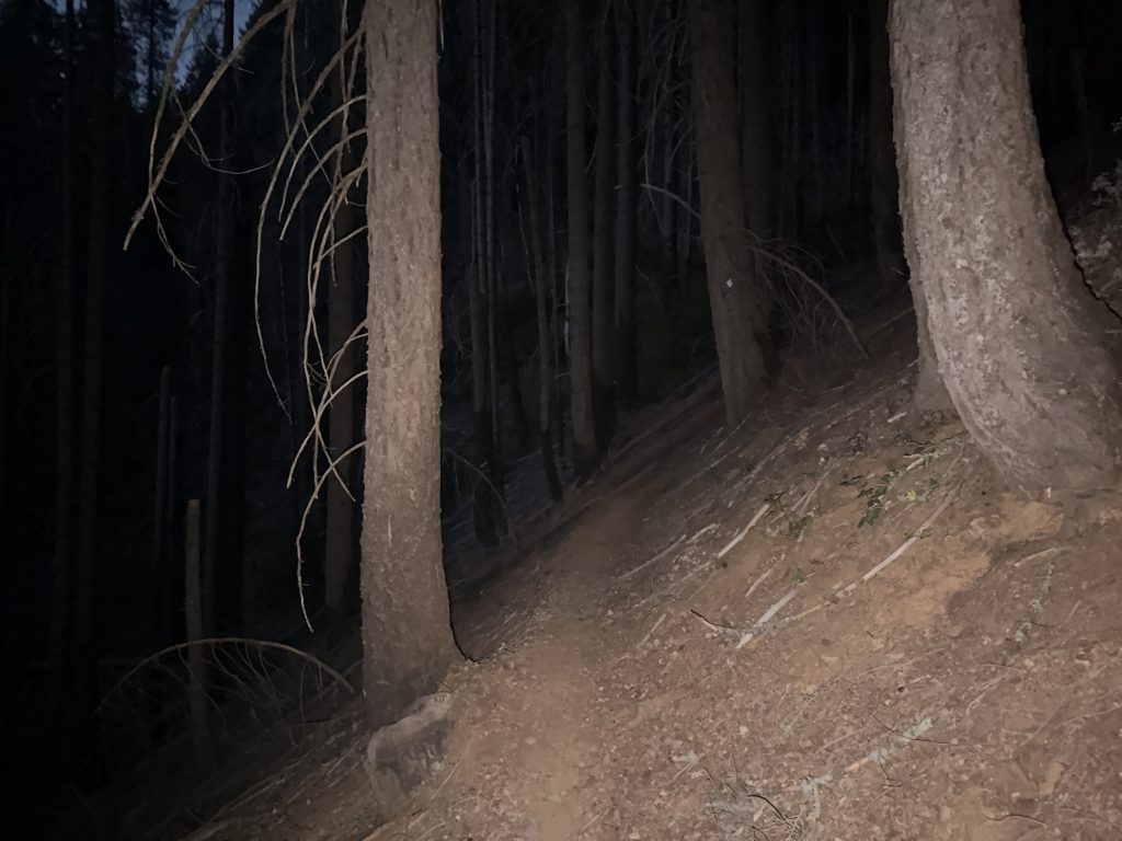
Well this was a day! I knew two things starting today’s hike. One, the climb out of Belden is over 5000 ft much of which is through burn scar and heavily damaged trail, and two it was going to be hot. I also knew that fortunately there was a lot of good water sources during the climb. In order to beat as much of the heat as possible I was up and hiking by 345 AM. Who does this????
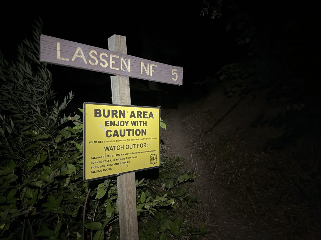
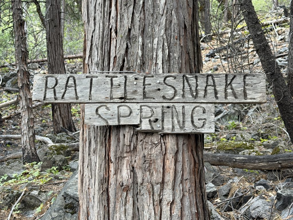
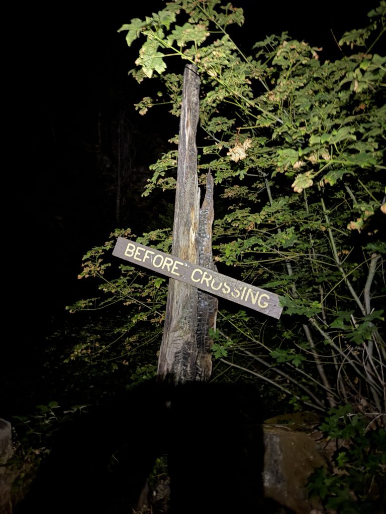
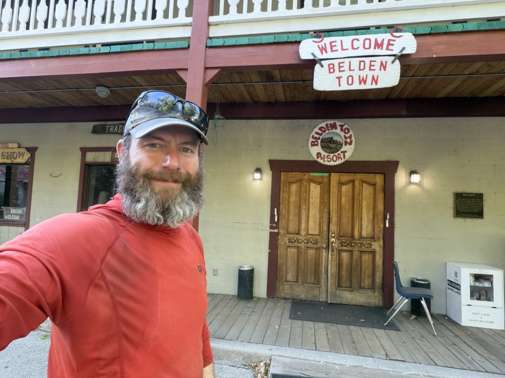
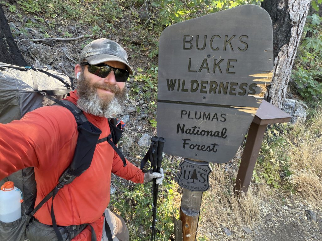
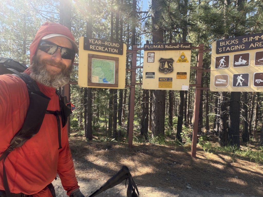
I hiked pass the Belden Town resort and made my way to the trailhead. It has a sign with 4 warnings; black bears, mountain lions, rattle snakes and poison oak. Oh joy! Interestingly enough I met another hiker later in the day who claims she and her friends were stalked by a mountain lion while hiking last night. Fortunately I saw none of the creatures listed.
I do honestly believe this was the hardest climb I’ve done thus far on the PCT. I certainly did more elevation gain today than any other day so far. Fortunately the first 2 hours the trail was in good shape as I hiked by headlamp. I’m not a huge fan of hiking into the night but starting before the sun comes up I’m okay with. My logic here is that if something weird happens the sun will be up soon. Where as if you hike into the night and something strange happens… like getting stalked by a mountain lion… then you have many hours until the sun comes to make life better.
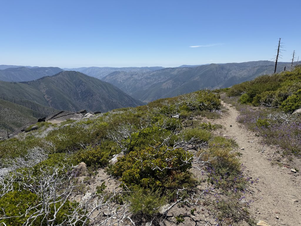
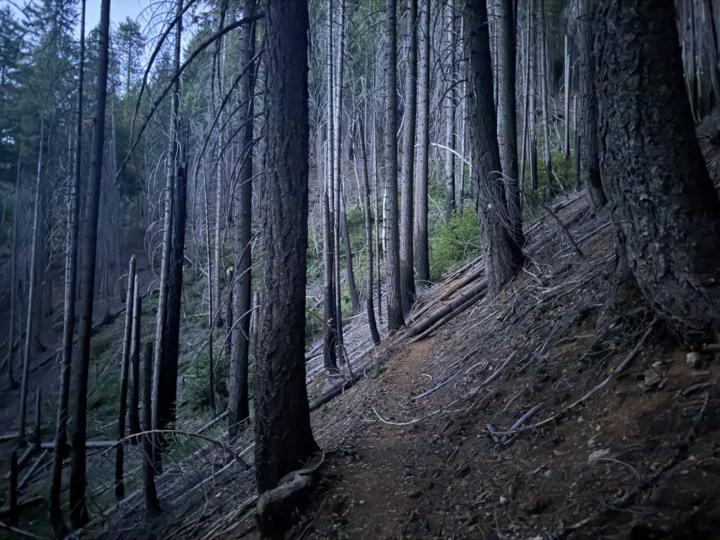
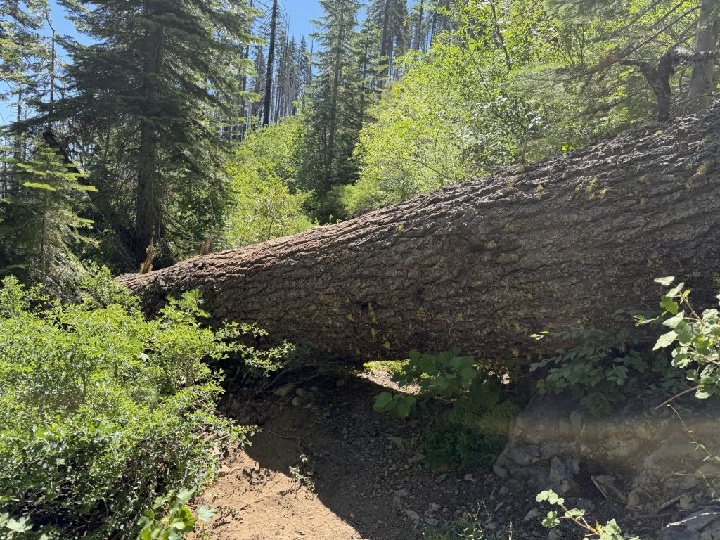
Eventually the sun started to rise and the trail conditions got worse. On more than one occasion the trail was completely gone. It would take months of trail maintenance to get this part back up to PCT standards. I took lots of breaks at the various water sources and carried as little water as possible.
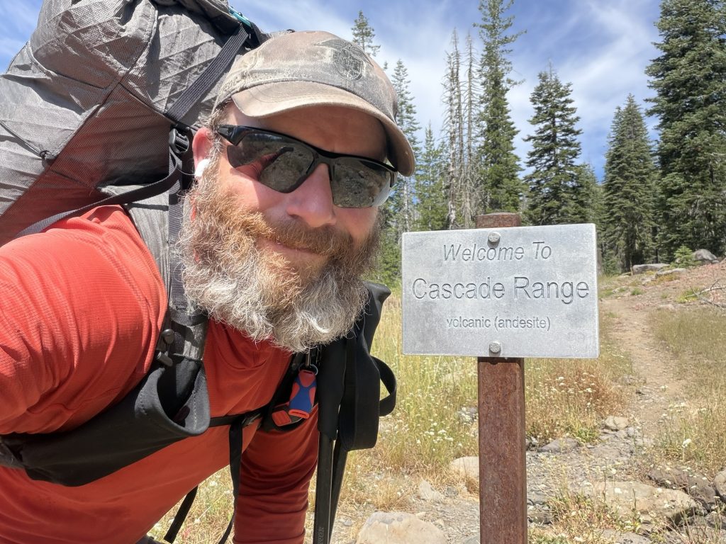
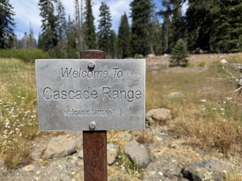
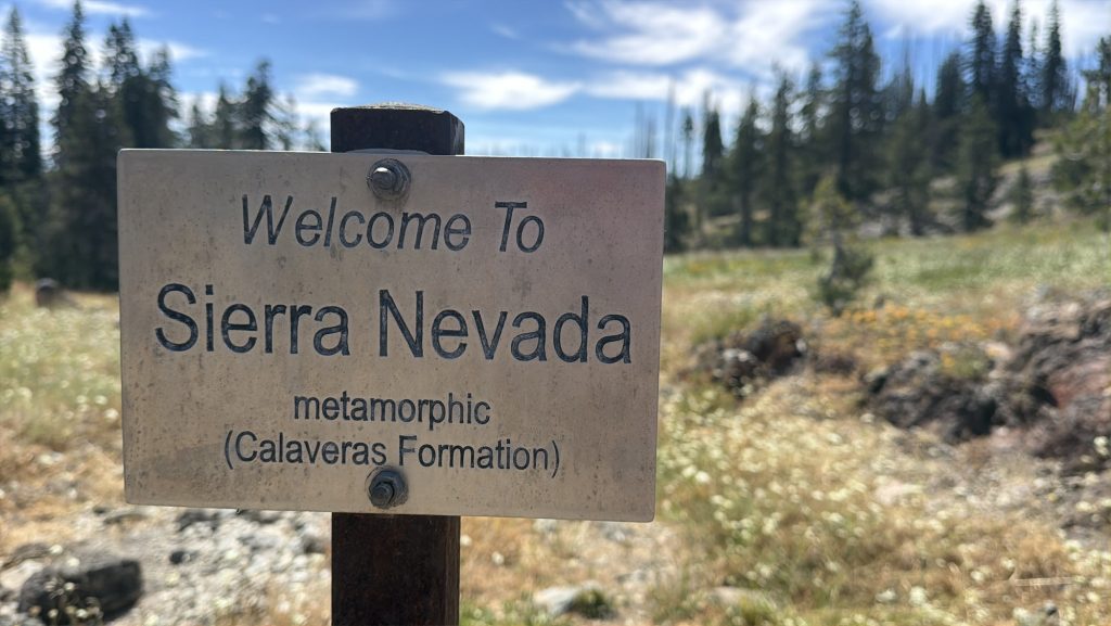
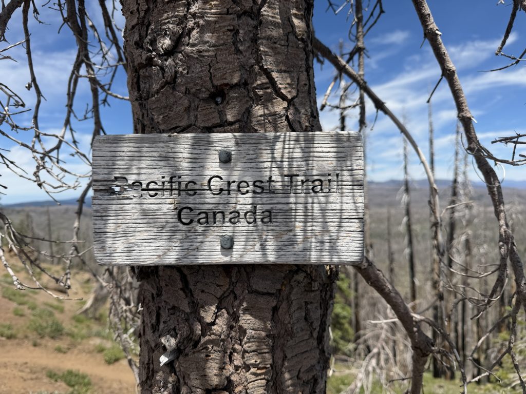
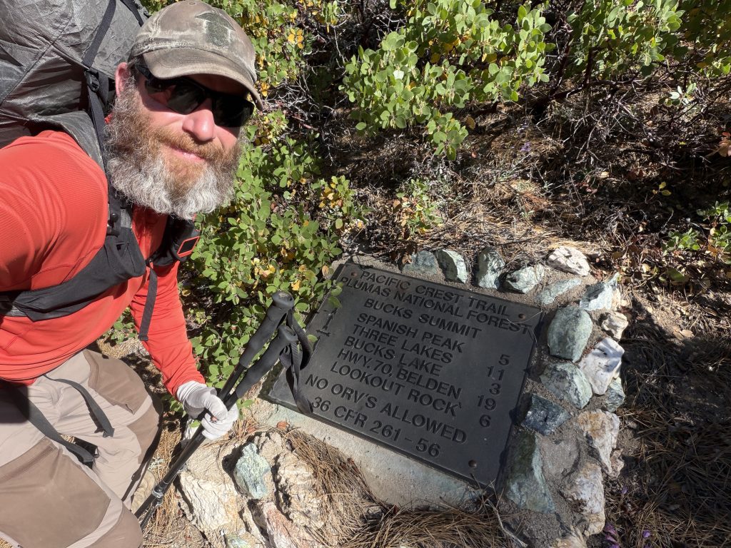
I officially crossed from the Sierra Nevada mountain range to the Cascade mountain range at mile 1299 and then passed the 1300 mile marker on the PCT. Just 25 more miles and I’ll be at the official 1/2 way point.
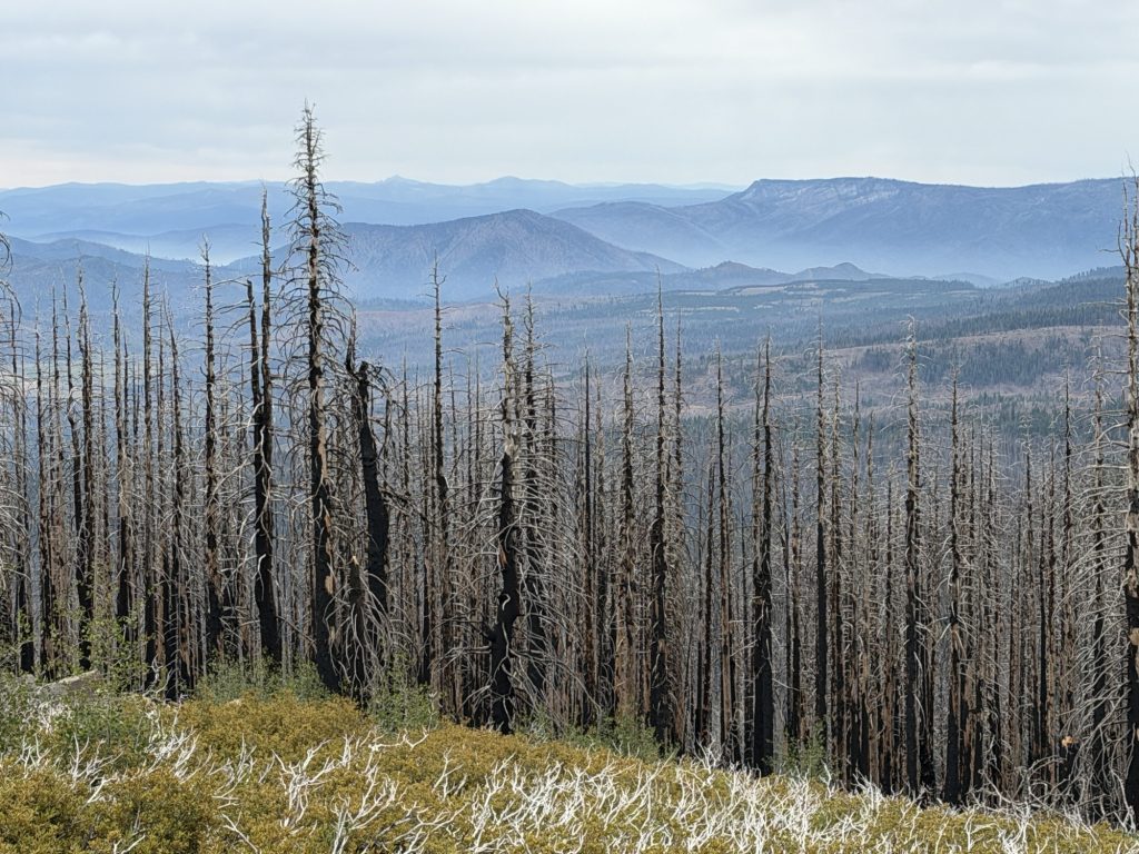
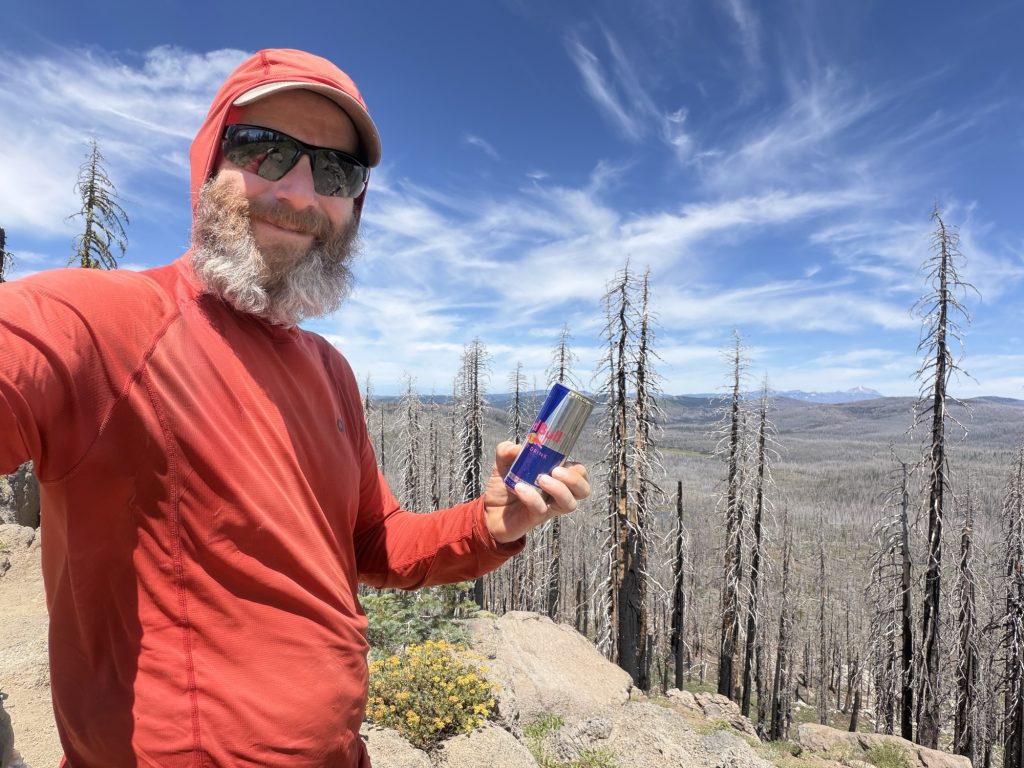
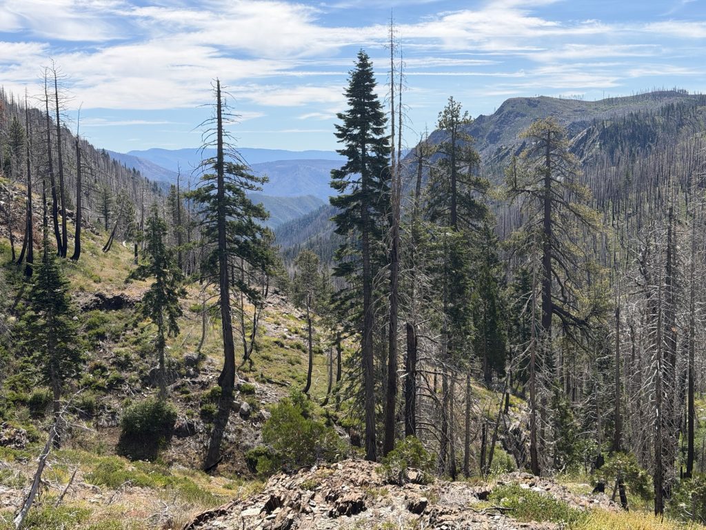
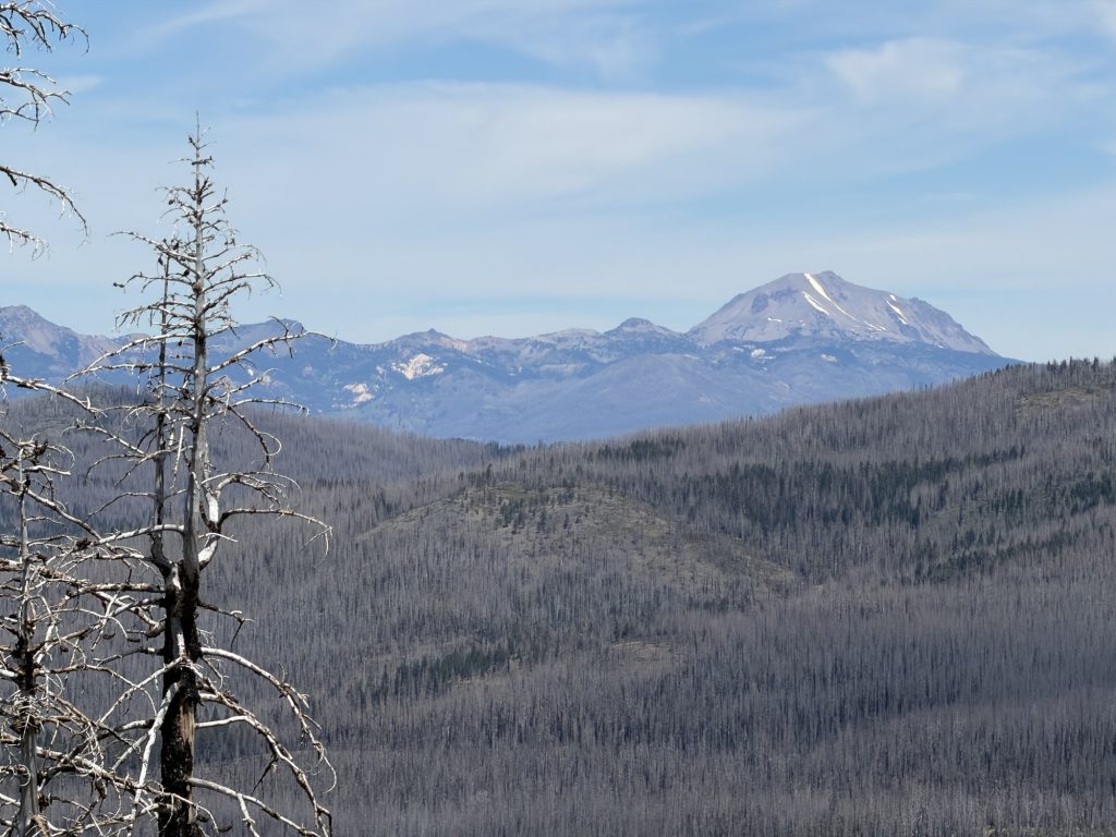
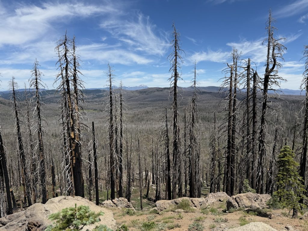
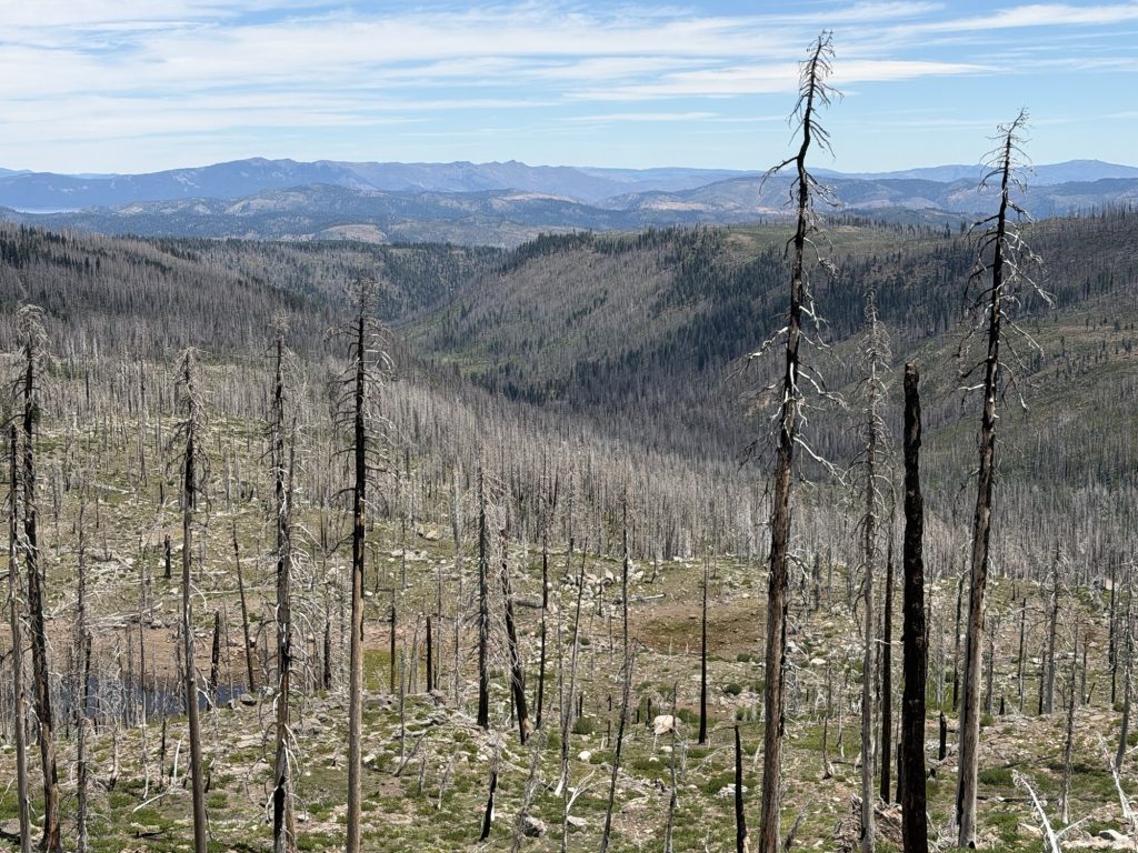
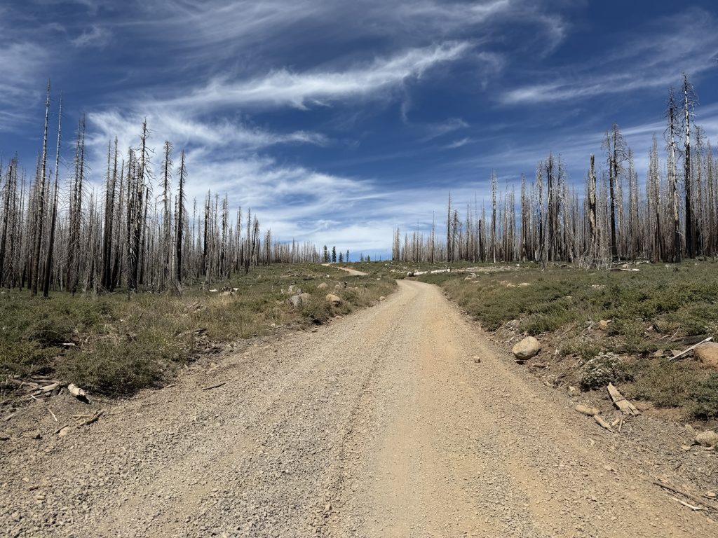
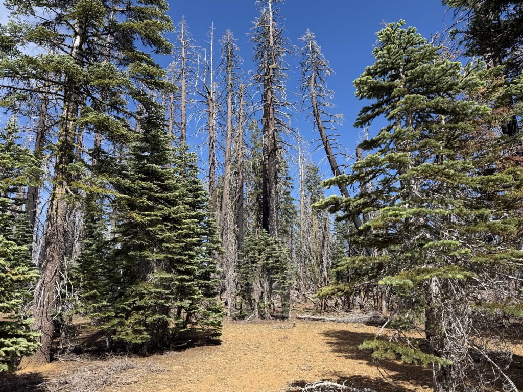
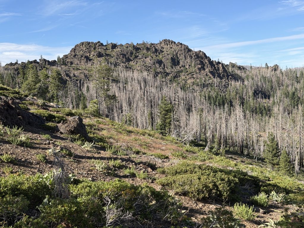
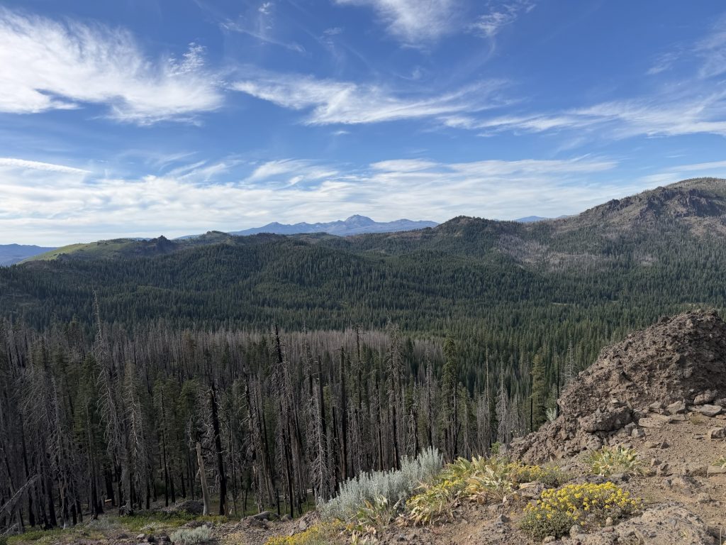
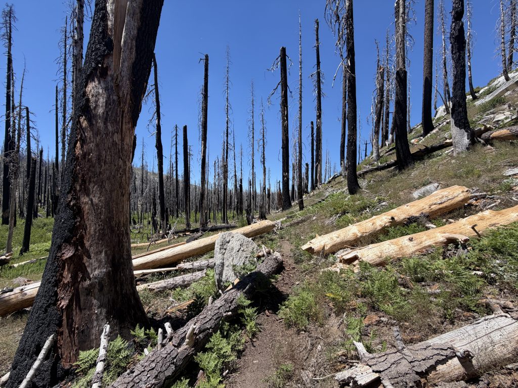
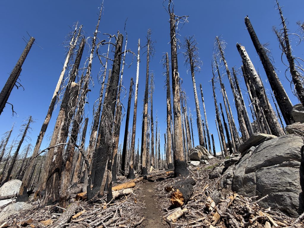
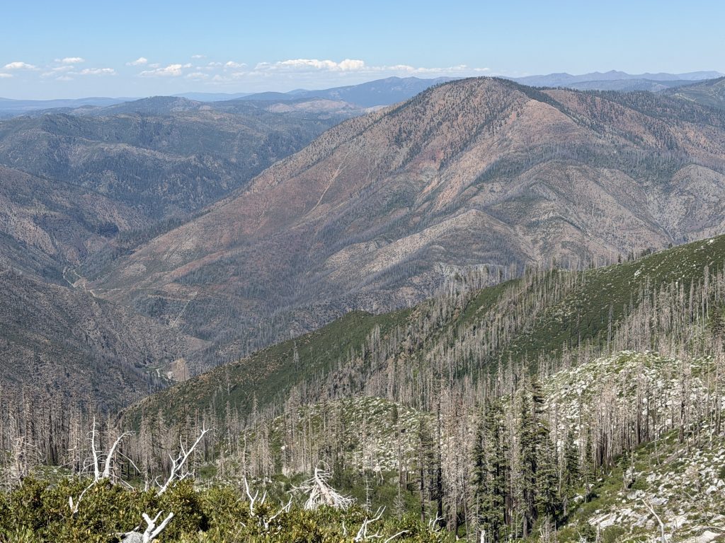
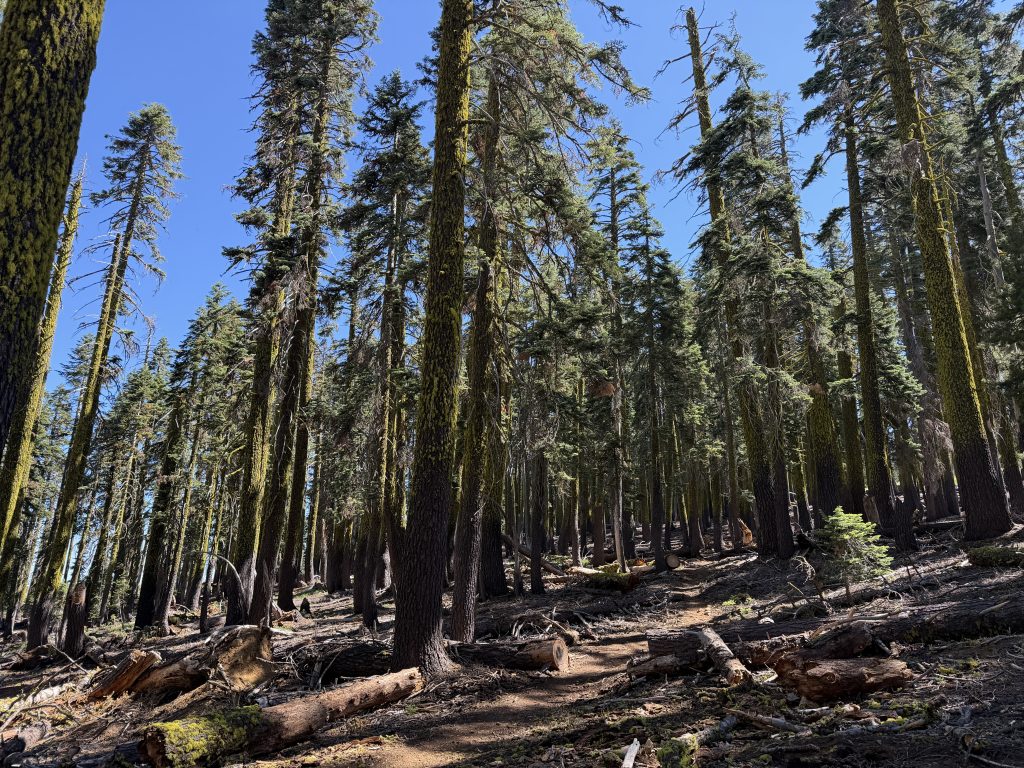
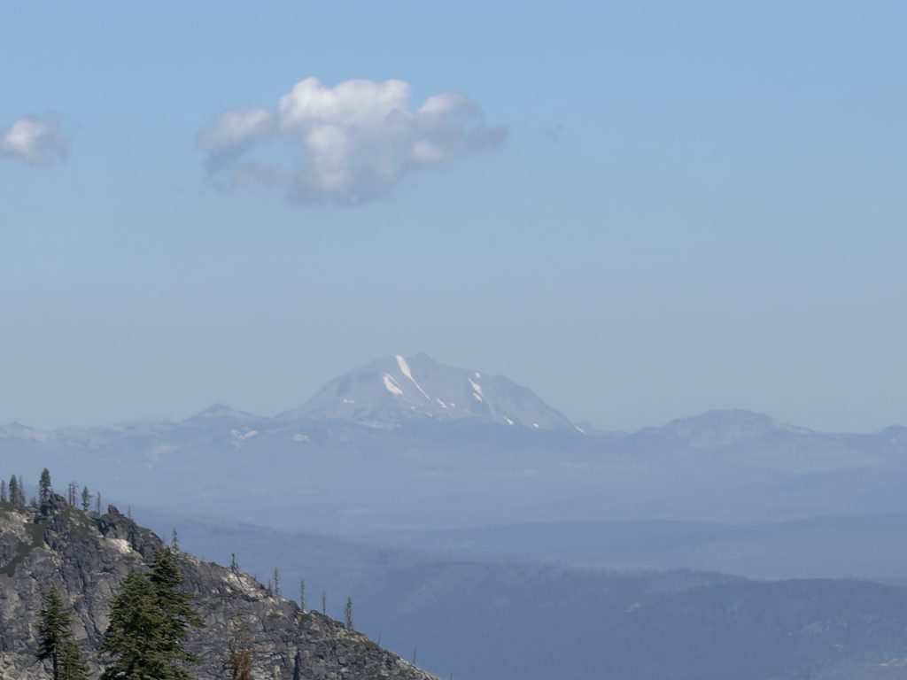
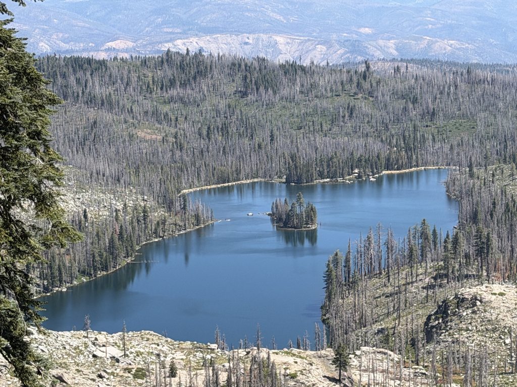
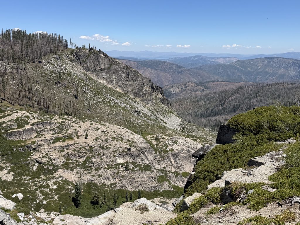
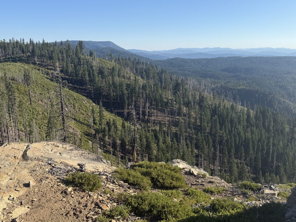
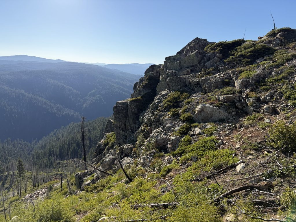
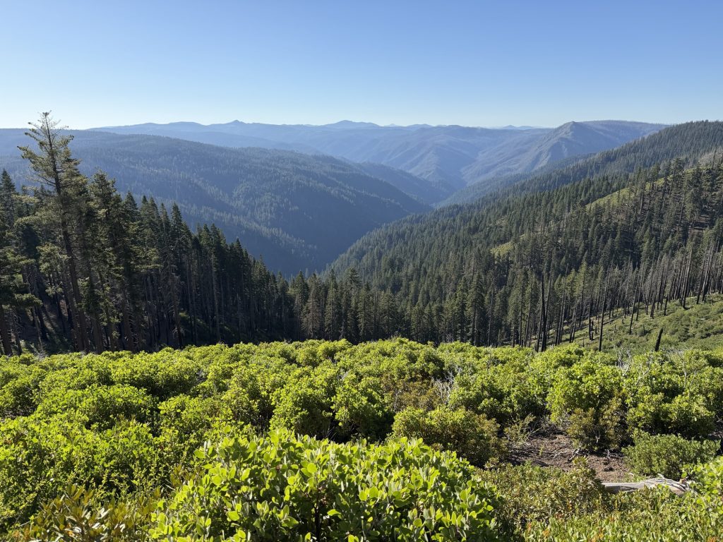
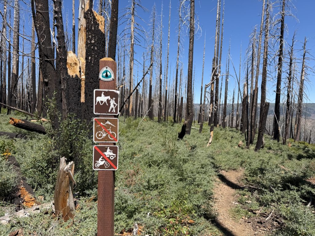
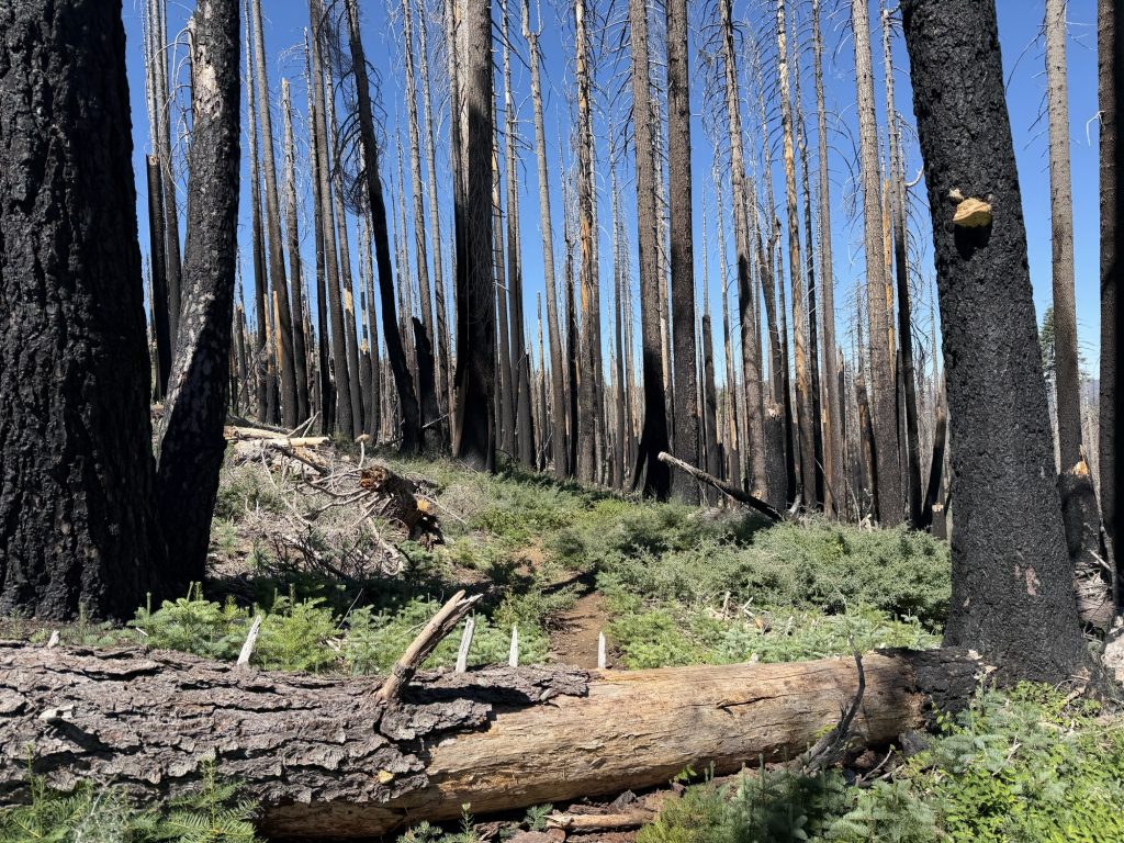
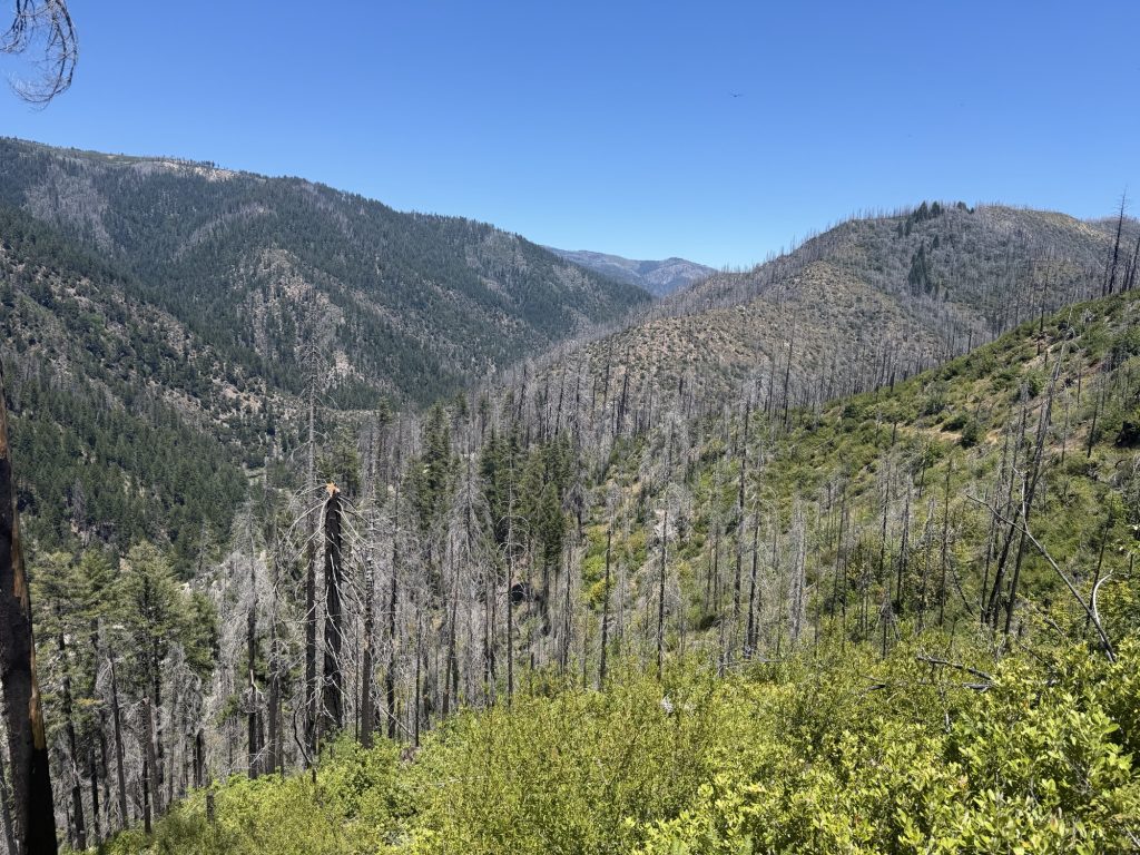
I finally reached the top of the climb shortly after 1200. In the distance I could see Mount Larsen and the true scale and impact of the Dixie Fire. It’s really strange to see an entire forest burned but have little pockets of single trees that somehow escaped being burned. At one point on the trail everything to the left was alive green forest. On the right there was about 20 ft of green and everything past that was burned.
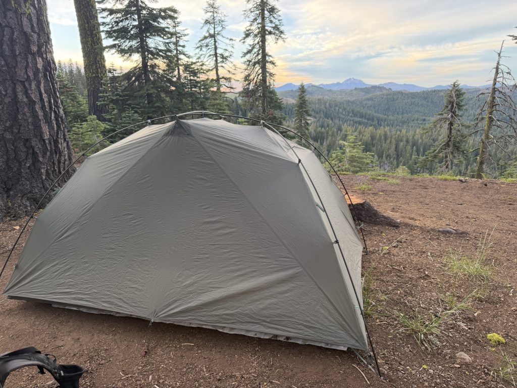
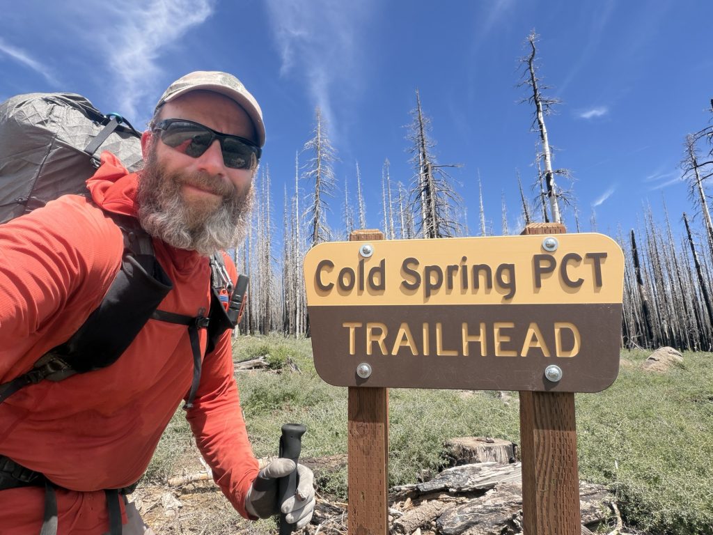
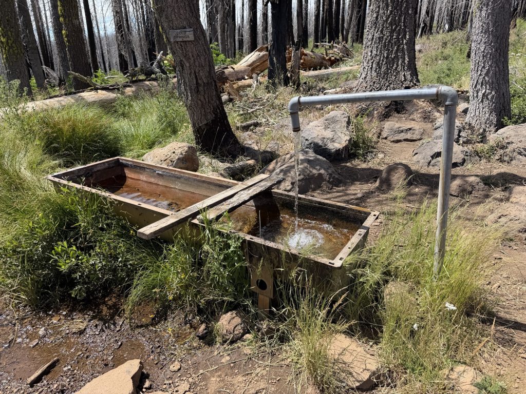
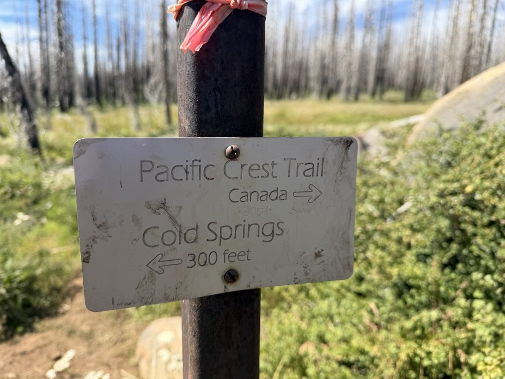
My goal today was to reach the campsite near Humboldt Summit. Because most of the forest is burned there are not many safe places to camp. Camping under massive Dead standing trees is definitely not advisable. Unfortunately there is no water source at this location so I carried 3 liters from Cold Springs (the water was amazingly cold). The extra weight, long miles and early start were getting to me and I felt sluggish and slow.
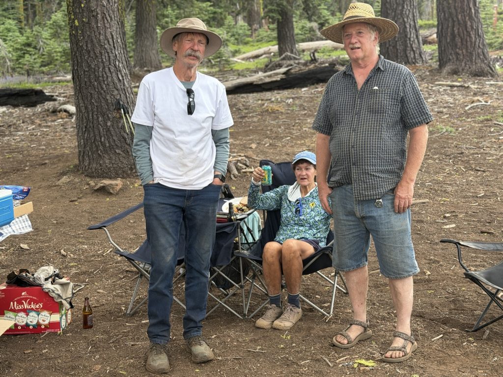
When I arrived at the campground at 1800 I was shocked to still see trail magic set up!!!!! Myles and Barron were there with cold drinks, sandwiches, salads, pastries, cookies and even hot bucket showers. They are part of a larger group that comes up here once a year for two days and do trail magic. Most of the group had already left an hour before I arrived but they stayed to catch any stragglers. Man was I happy to see them after such a long hot day. I was later joined by Ms Pooh, Tea Time and Merlot.
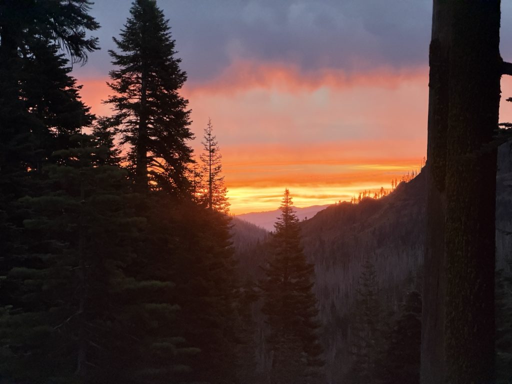
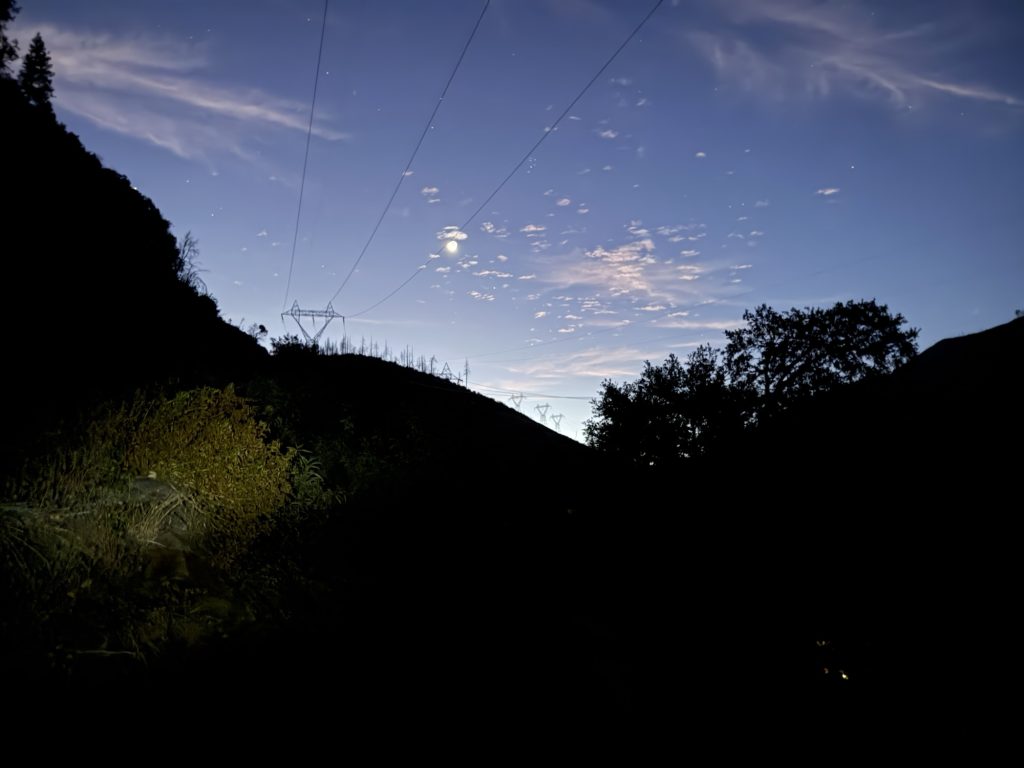
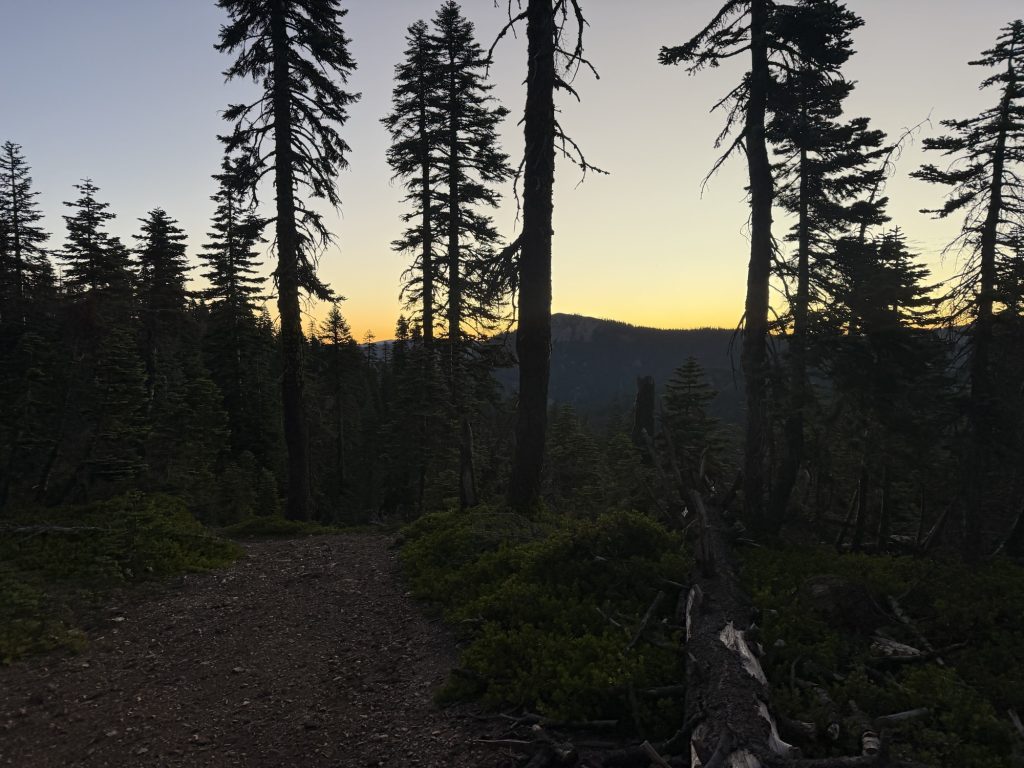
The night finished with the most incredible sunset I’ve seen thus far on trail. What started as the hardest day was rewarded with not only trail magic but the magic of nature!
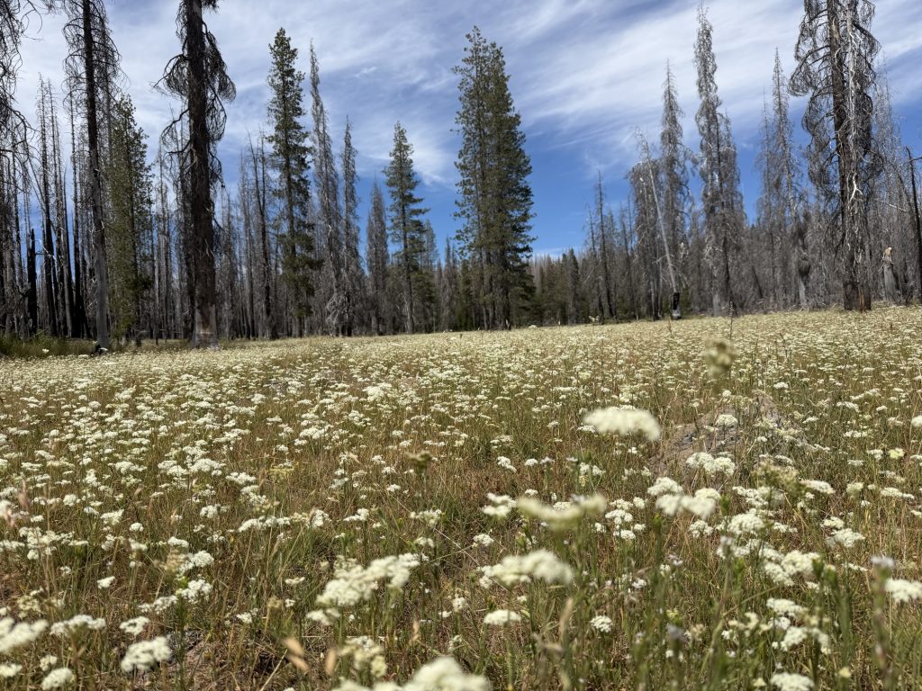
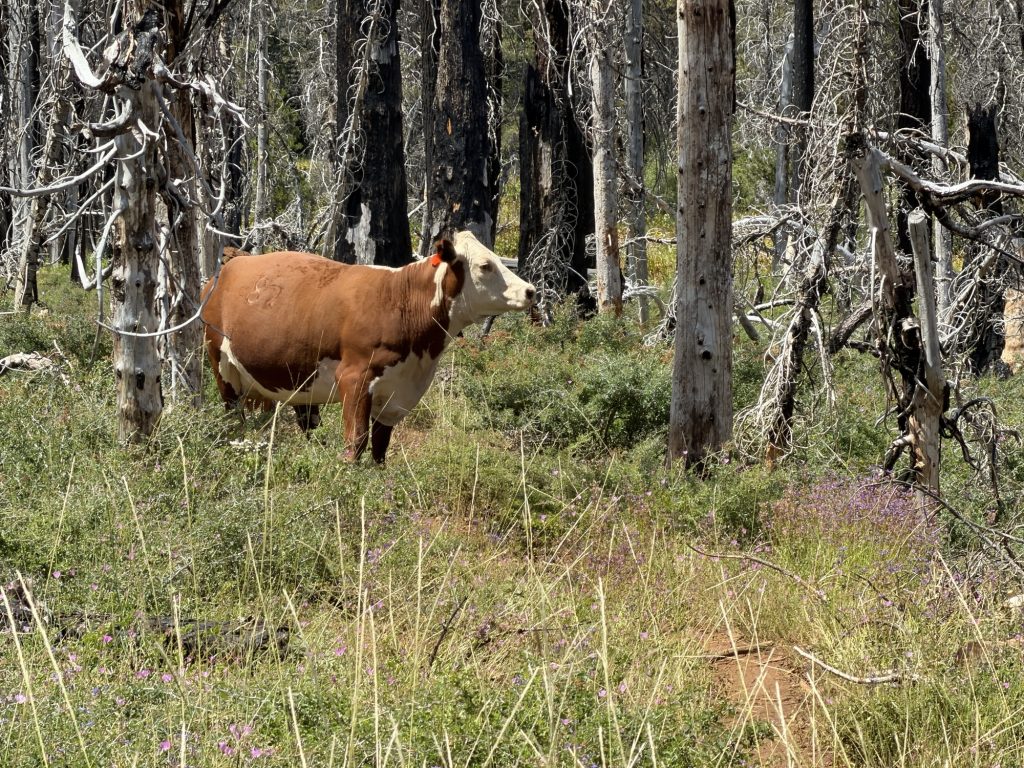
Random lone cow in the middle of nowhereHere the trail was strange. One side not burned the other a few untouched trees then ruins.
PCT Day 97 – Quincy (1269.7) to Belden Town (1288.5)
July 10, 2026
Total PCT miles: 18.9
Non PCT miles: 0
Total: 18.9 miles / 30.4 km
Total elevation gain: 2589 ft
Total elevation loss: 5896 ft
Steps: 42359
I went to sleep entirely too late last night and woke up entirely too early. Regardless I was excited to get back onto trail. I posted in a Trail Angel Facebook group last night asking how I could skip the section I’m planning on bypassing by public transport and someone actually offered to just drive me. It’s a 4 hour drive one way. I’m completely amazed by the willingness of Trail Angels to go well out of there way to help. Not only that but someone else reached out and has offered me a place to stay in Chester when I arrive! no
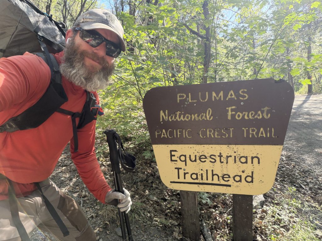
Speaking of Trail Angels, Merlot and I were picked up at our hotel at 800 by one who had two other hikers in tow already (Tea Time and Ms Pooh) and brought back to the trail head. Because of this I didn’t have to hitch and was able to get back on trail by 0830 and get most of the climb done before it got too hot! A huge thank you to Carolyn for the ride.
It was only a 2000ish foot climb from the highway today and there was plenty of shade. The high today was pushing 30 degrees so I was thankful for every piece of shade I found.
I entered into the Dixie Fire burn area which I will spend the better part of the next three days hiking in and out off. Much of Northern California’s PCT still bears the scars of the 2021 Dixie Fire, one of the largest single wildfires in California’s history. Sparked in the Feather River Canyon on July 13, 2021, the fire ultimately burned more than 963,000 acres across five counties before it was fully contained over three months later. Entire communities, including Greenville, were devastated, and roughly 74 miles of the Pacific Crest Trail were affected by the fire.
As I hiked through the burn scar, it was impossible not to notice the blackened tree trunks and the young forest slowly reclaiming the landscape. It’s a powerful reminder of both the destructive force of wildfire and the resilience of nature. Every year, firefighters continue to protect these forests and the communities that call them home, often under incredibly dangerous conditions.
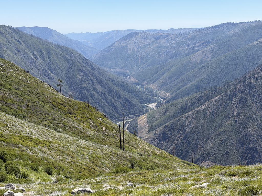
From the top of the trail you could see so much of the area was burned. There was a nice breeze up here that was rather refreshing. From here the trail descends 4000 ish feet into Belden Town. Not only did the breeze soon stop but the temperature increased significantly on the way down. The trail also has many downed trees and overgrown sections due to the fire and recent lack of use. By the end my ankles were screaming at me.
Belden town is a place I was really excited to see. Belden might only be home to a handful of permanent residents, but for PCT hikers it’s a place that’s talked about long before you arrive. Nestled beside the Feather River, it’s an oasis after the relentless heat of Northern California. Cold drinks, a hot meal, and a chance to sit by the river make it feel a little bit like paradise. If you come here on the wrong (right?) weekend you’ll be confronted with one of the many music festivals they have here every year.
The best part is that the trail goes directly to the general store / restaurant so I was able to enjoy a real dinner after the 18.9 miles of hiking without doing any extra miles! The bartender, Jennifer confirmed that Belden Town hosts many music festivals and that she had been partying wrong her whole life when she saw how they partied here.
Tomorrow will be a very early morning as I will be confronted with probably one of the toughest if not toughest climb on the PCT. I have a 5000 ft plus climb and I want to do as much of it as possible before the sun makes it even more miserable than it already will be.
PCT Day 96 – Bear Creek (1254.7) to Quincy (1269.7)
July 9, 2026
Total PCT miles: 14.9
Non PCT miles: 0
Total: 14.9 miles / 24.0 km
Total elevation gain: 3570 ft
Total elevation loss: 1306 ft
Steps: 36321
I was up well before the crack of dawn today. The low last night was 18 degrees Celsius and it was going to be hot today. The first thing I needed to do was climb out of the valley I was in near 3000 ft over 7 miles. I wanted to be sure that was done before the sun made it even more miserable.
I was up, packed and hiking by 0430am and walking in almost complete darkness. Which, given the state of the trail in this area with the many blowdowns and overgrown bush was probably not the smartest idea. Fortunately my ninja like prowess and incredible gymnastic skills along with years of only ever working night shifts paid off and I miraculously didn’t injure myself.
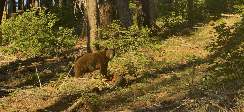
I was about 1/2 up the climb as the sun slowly started to rise and make the warm air even hotter. Then it happened… I was walking along the trail and I heard a crunching noise to my left. I turned and saw it! A large black bear ripping into a tree trunk. He was a good 100 feet away and hadn’t heard or seen me yet. I yelled “HEY BEAR” and it looked at me and then ran away.
Shortly after I came across “Cache 22” and “Problem Bear” who were heading down into the valley to do some trail maintenance. They said they were doing prep work for a log out that will happen next week. Thank goodness for these volunteers! I couldn’t imagine the state of the trail without them. They said that every year since the fire more trees fall every winter needing more work to clean up.
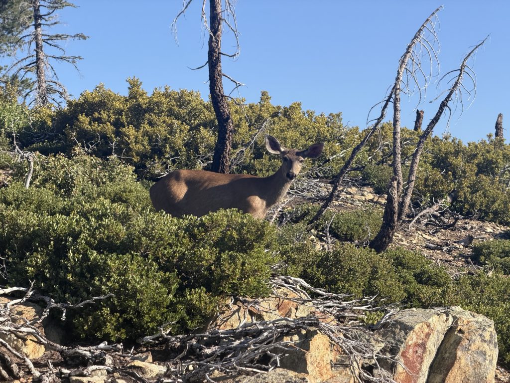
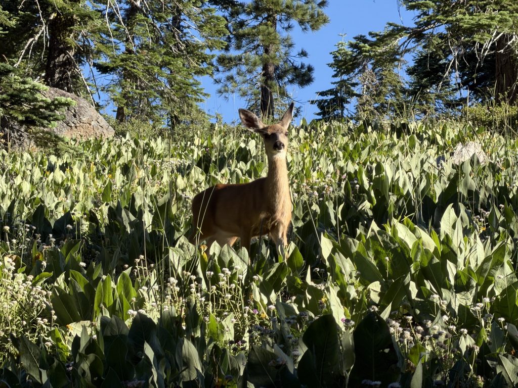
I reached the top of the climb well before it got too hot and was making really good time. The lure of town food is strong! I stopped briefly to fill up water at lookout spring and to watch a deer who seemed confused by my presence. From there the rest of the trail was basically flat (not really) and I managed to get to the road by 10:00. That’s almost 15 miles by 10:00. I think I need to wake up this early every day.
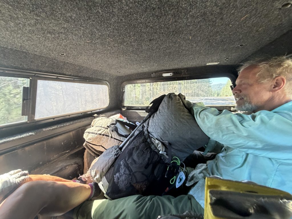
At the road I met Merlot who was already trying to hitch a ride and later was joined by Wilfred who I had summed Forester Pass with. There wasn’t much traffic on the road but after 30 mins a man in a pickup truck pulled over and took all three of us. Now it may have been all three of us in the back of the truck where there are no seat belts down a twisty turny mountain road… I believe it’s a thru hiking tradition to do this at least once.
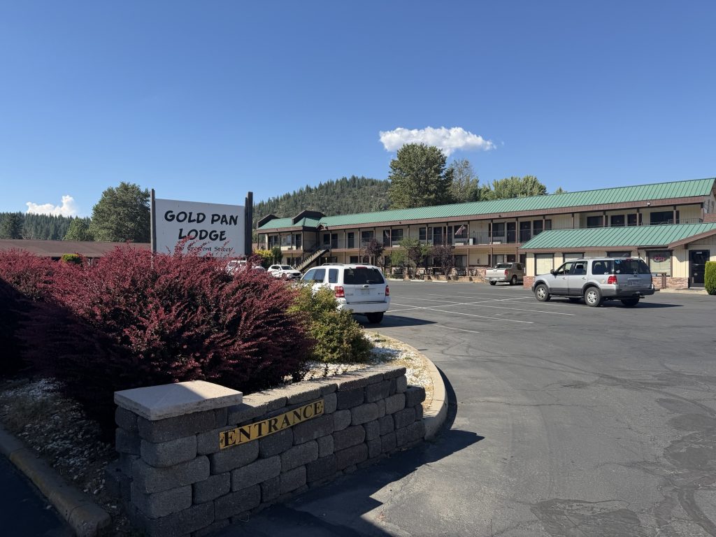
We were dropped off in “downtown” Quincy in front of the Hub which was great. Here they let hikers do laundry and take showers. The laundry is key because none of the motels in town have laundry facilities apparently. After laundry I checked into the Gold Pan Motel and resupplied. Basically doing everything I would do on a zero today because I plan on hitting the trail tomorrow.
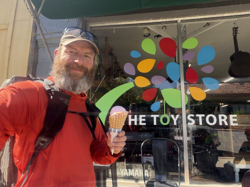
I also got my free iced cream at the Toy Store which was amazing! Expecially today when it is 30 plus degrees out.
PCT Day 95 – PCT Mile 1231.6 to Bear Creek (1254.7)
July 8, 2026
Total PCT miles: 23.1
Non PCT miles: 0
Total: 23.1 miles / 37.17 km
Total elevation gain: 2799 ft
Total elevation loss: 6325 ft
Steps: 54446
I had one of my better sleeps on trail last night, only waking up once before my alarm went off. The sunrise reminded me of those I saw in the desert section on hot days. This was definitely an omen of what was to come. I was packed up and on trail at 0545 and it already felt warm.
Over the next few days I will walk through the burn scars from two intense wild fires, the bear fire and the Dixie fire. The PCTA’s website advises that the trail is in a really poor state due to these fires with a significant number of blowdowns and overgrowth. Today and tomorrow I’ll walk through the easier of the two – the Bear Fire also know as the North Complex Fire which started on August 17th, 2020 when 21 fires were ignited by lightning and burned 318000 acres. The fires destroyed two towns and was the deadliest fire of the 2020 wildfire season.
All that to say the trail today wasn’t bad. The majority of the blow downs were easily walked over with a few that required some careful steps. The overgrowth would certainly be more annoying if you were wearing shorts.
This was my first time walking through a forest that has had a significant fire. It was eerie seeing all the dead standing trees but there was also lots of new life beginning to grow. The start of the burn section everything to the right was burned but everything to the left was untouched. Almost randomly it seemed you would walk through patches of untouched forest before returning back into the burned section.
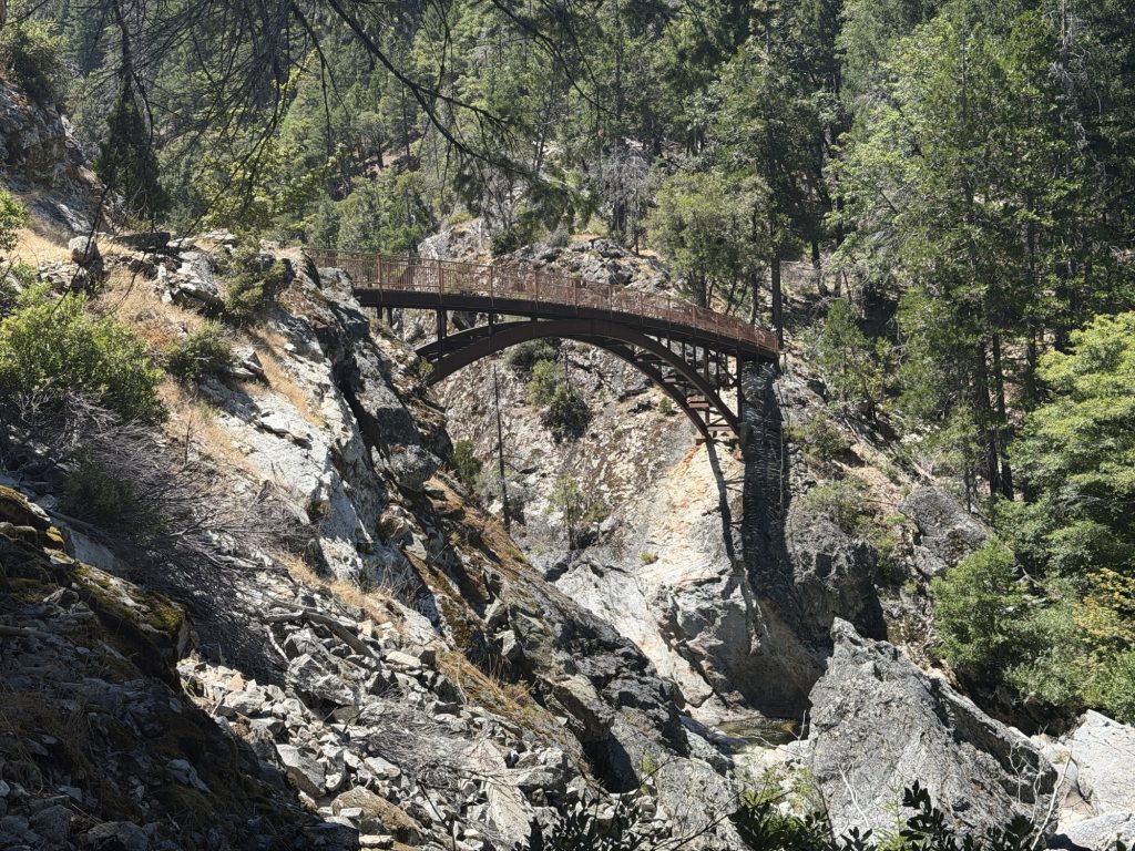
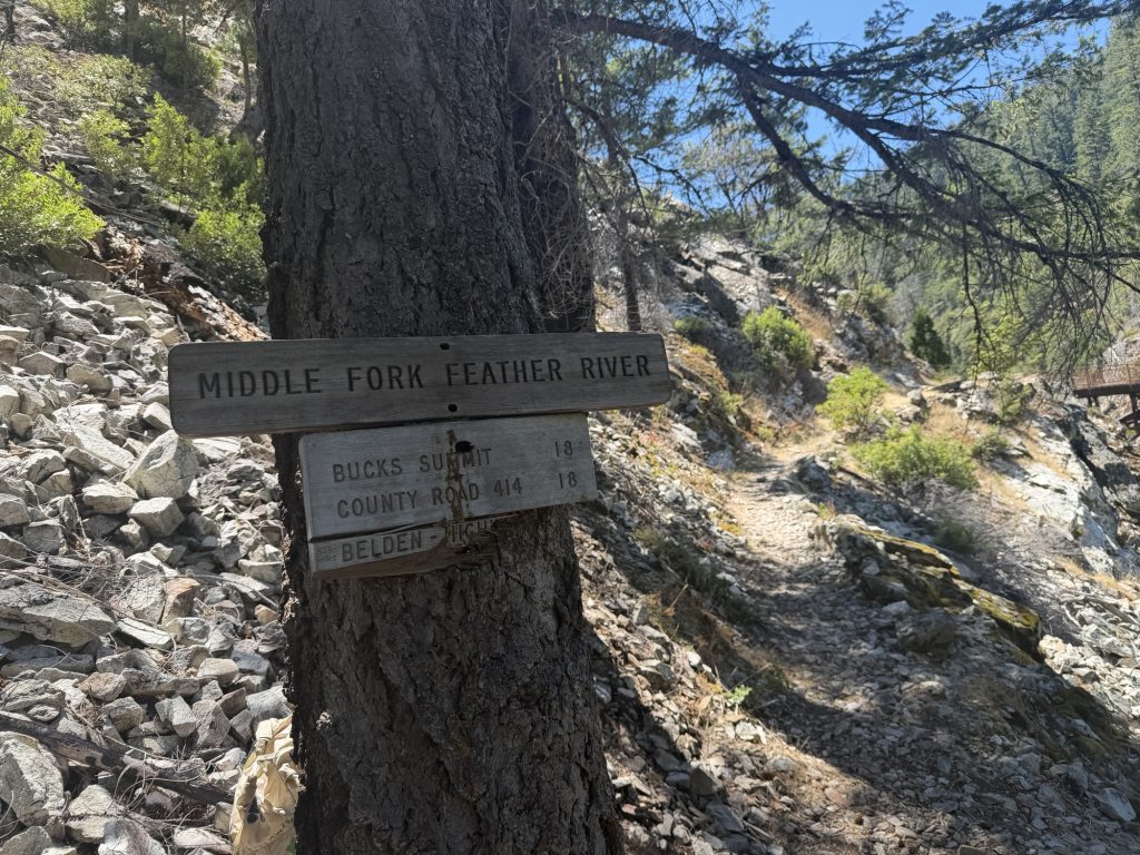
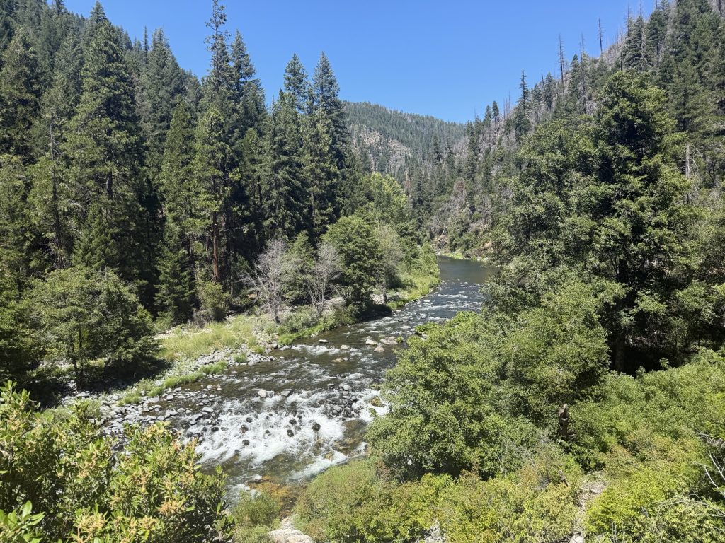
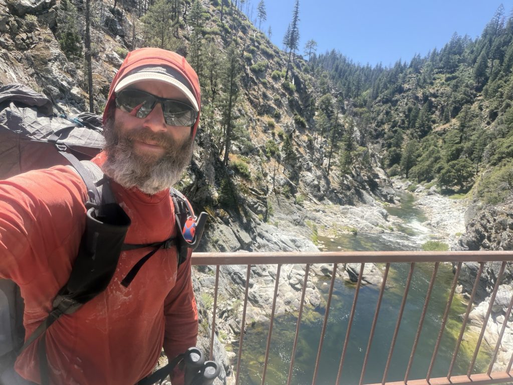
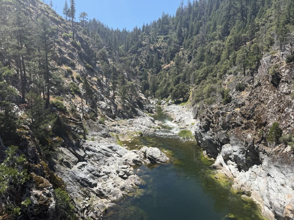
Most of the afternoon was spent on a long decent into what I think is Franklin Canyon. As I decended I could feel it getting warmer and warmer and greener as I again left the burn area. At the bottom of the canyon is the Middle Fork of the Feather River flowing under an impressive bridge. I stopped here for lunch and contemplated a swim but the best swimming spot was occupied so I continued on my way.
I only made it another 3.5 miles. It was hot and I was tired when I arrived at Bear Creek. I would have liked to continue for a few more miles but the next campsite is about 7 miles a with almost 3000 ft of elevation gain. So I found a great place to set up my tent close to a spot where I could take a dip and cool off. Best decision ever. Well at least until tomorrow when I have to make the climb I’m avoiding doing today. But at least it will be on fresh legs.
PCT Day 94 – Upper Tamarack Lake (1206.5) to PCT Mile 1231.6
July 7, 2026
Total PCT miles: 25.1
Non PCT miles: 0
Total: 25.1 miles / 40.4 km
Total elevation gain: 4754 ft
Total elevation loss: 4734 ft
Steps: 58989
Some days on the Pacific Crest Trail are defined by milestones. You cross a famous pass, reach a round number on the mileage marker, or arrive in a trail town you’ve been looking forward to for days.
And then there are days like today.
No famous landmarks. No dramatic river crossings. No big celebration waiting at the end of the day. Just 25 miles of walking north.
Oddly enough, these are the days that make up the majority of a thru-hike. They remind me that this journey isn’t really about chasing milestones. It’s about embracing the routine. Wake up. Pack up camp. Walk. Eat. Take in the views. Walk some more. Listen to podcasts. Find a place to sleep. Repeat.
It’s amazing how something so simple can become so rewarding.
Somewhere along the way, I’ve stopped measuring the success of a day by whether something extraordinary happened. Instead, success is another day moving north, another sunset from my tent, another conversation with fellow hikers, and another reminder that progress doesn’t always need to be dramatic.
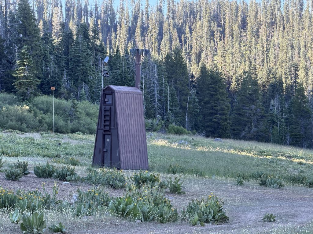
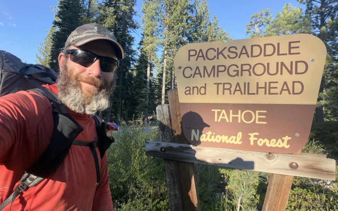
The highlight of the day was definitely the pit toilet at the Packsaddle Campground. Runner up would be the multiple cold spring water points on this very hot day.
The final push today was exceptionally steep and I was carrying extra water as I would be dry camping. By the time I got to the top I was ready to collapse into my tent for the night.