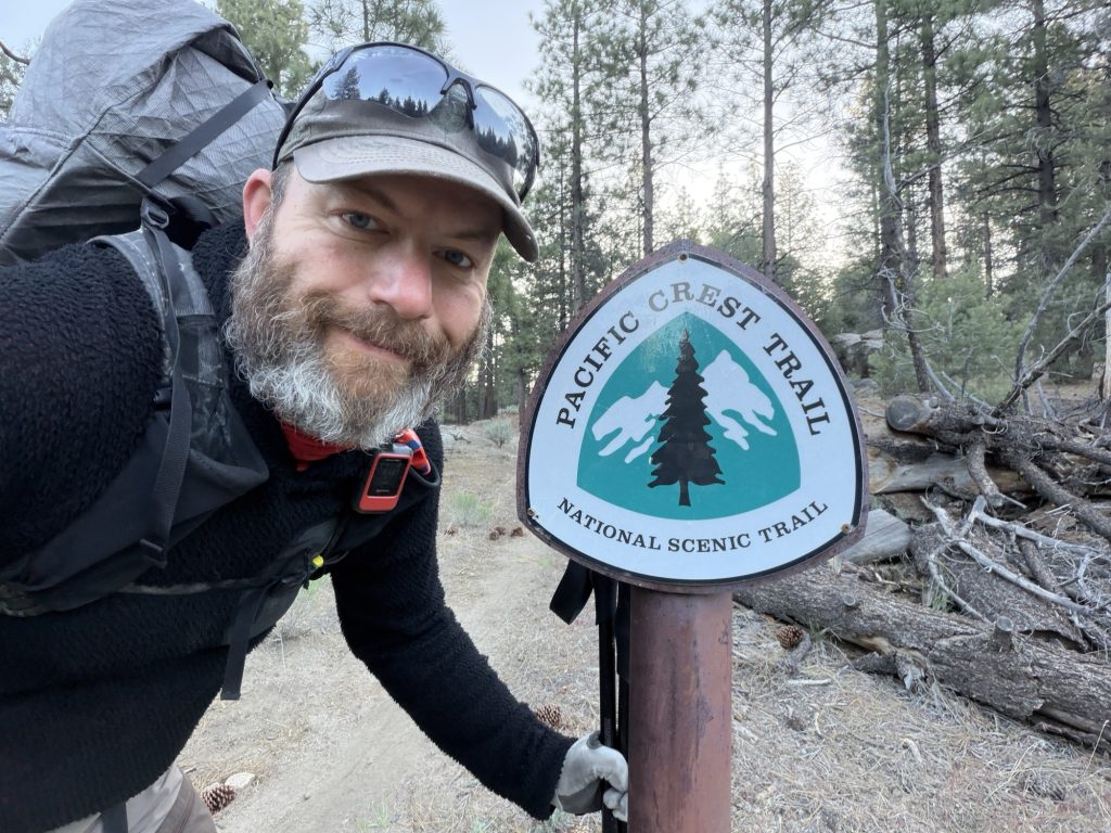
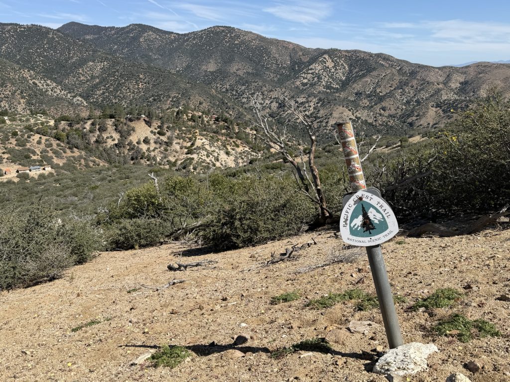
Today was certainly a day out here on the Pacific Crest Trail. It started out mundane enough after one of the better nights sleep I’ve had on trail no doubt in part due to the amazing meal I had last night. I was up packed and hiking at 0615 hrs. My plan was to go to the first water cache of the day at Kelso road, about 7 miles, have second breakfast and move on from there.
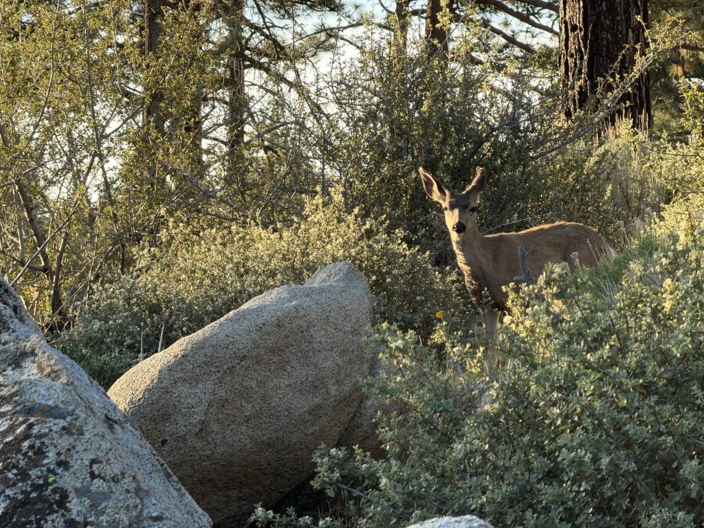
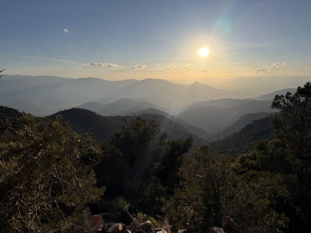
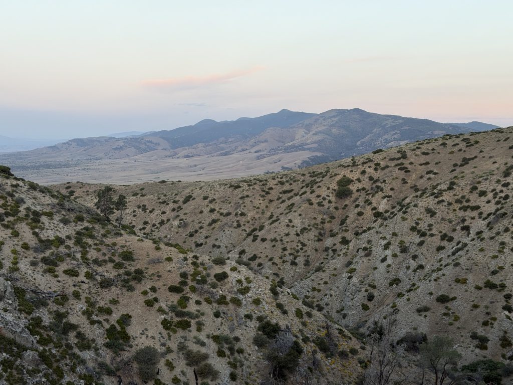
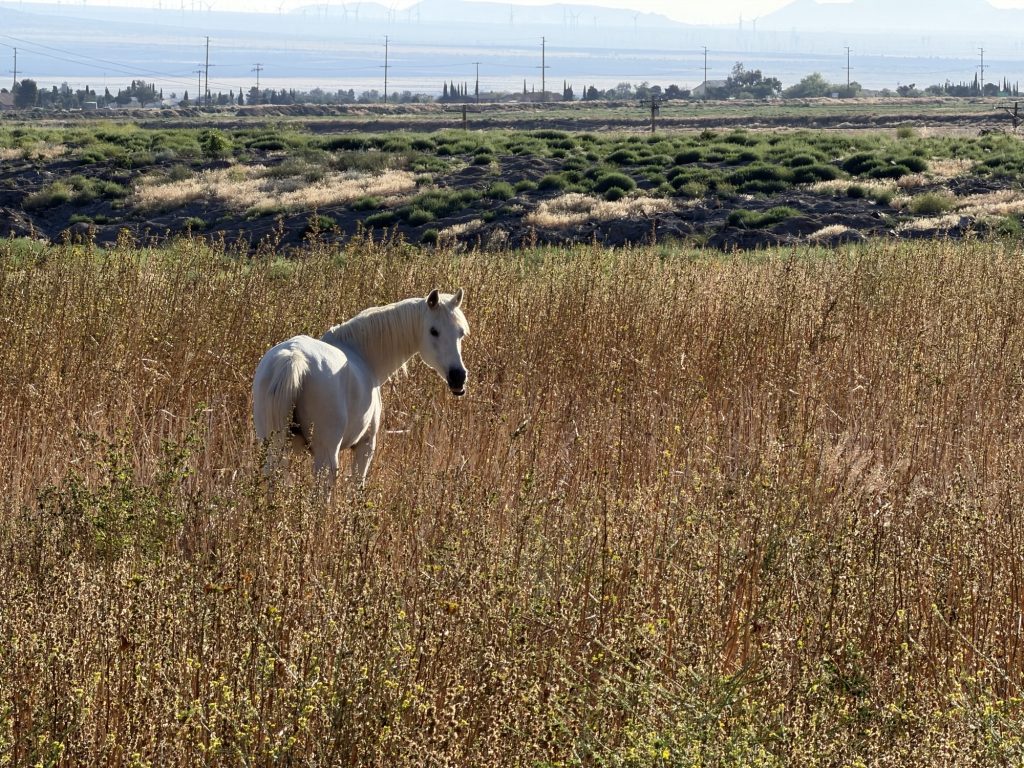
The cool air was refreshing and the miles through the pine forest were easy. About a mile into my day I saw a deer grazing in the bushes. It was completely seemingly unbothered by my presence and continued eating occasionally looking over to check me out. I spent a good few minutes just watching it eat before finally continuing along. The trail continued mostly downhill with occasional views of the Sierra In the distance.
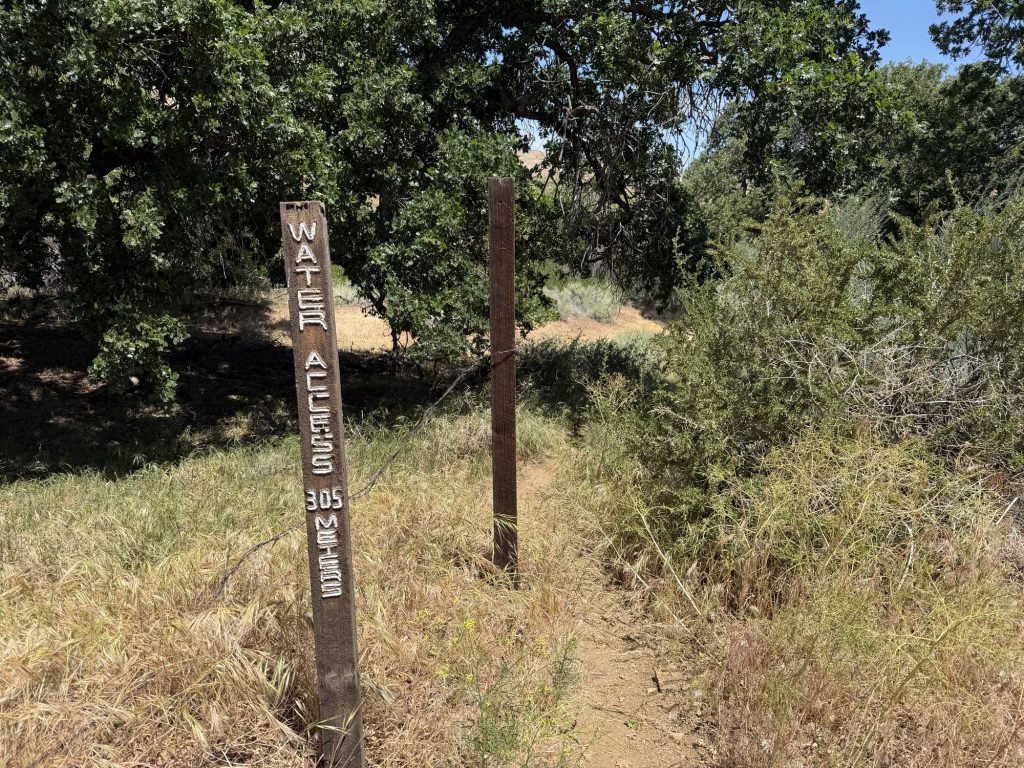
As I decended and got closer to the water cache the landscape changed from the pine forest i had been enjoying back into the desert landscape I have come to know so well. Along with the change im scenery the winds slowly began to pick up. I filtered water and ate a full breakfast, that included a delicious orange I had received last night at the cache. Just as I was packing up to continue on my way a local trail angle, “Cinnamon” who helps keep this cache stocked arrived. She gave me a banana, 2 tangerines and some donuts. She made mention of how bad the winds had been and said it must not be fun to hike in. I replied they had Not been that bad and at least it kept me cool. I had no idea what was in store for me later today. She pointed out that the second range of the Sierra was visible and was on her way.
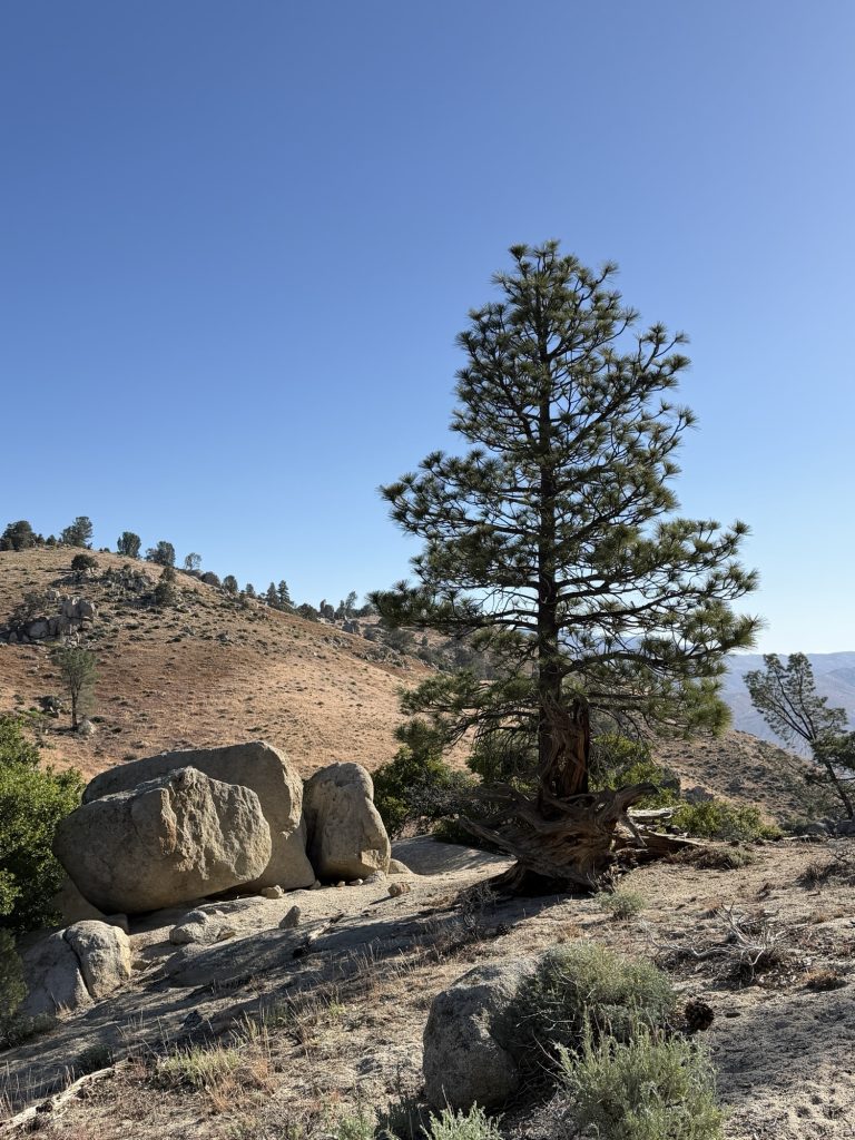
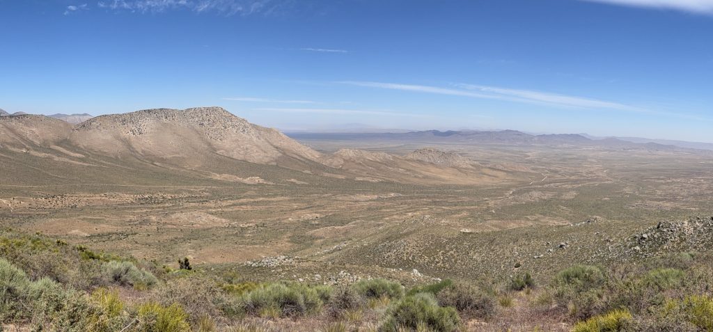
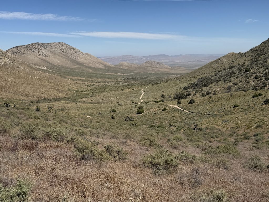
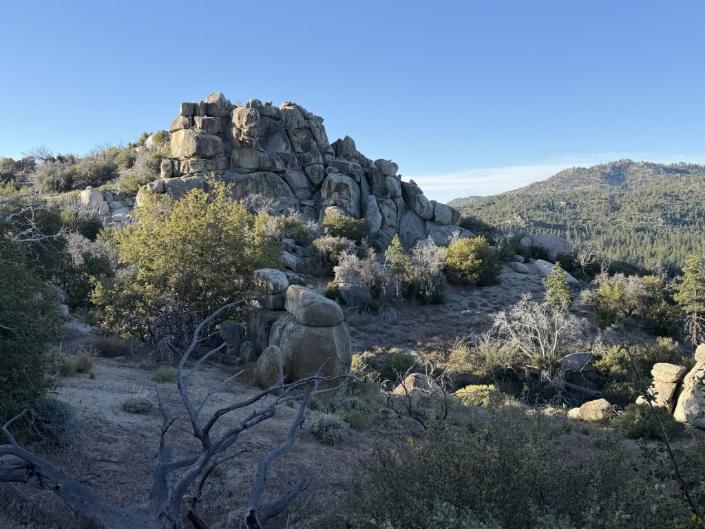
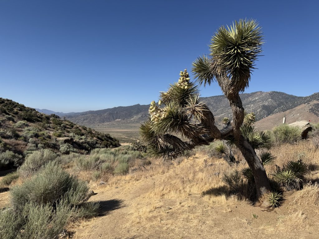
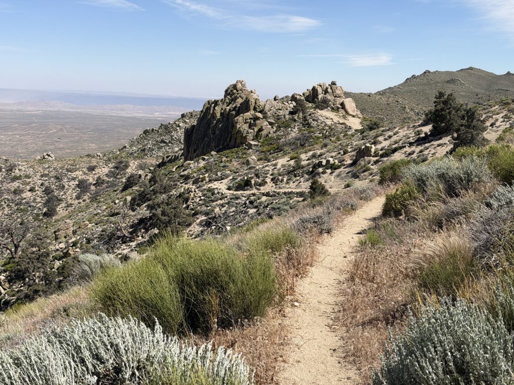
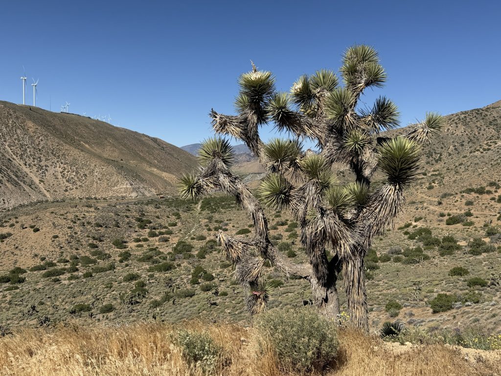
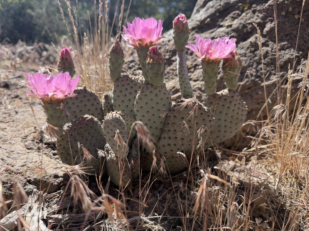
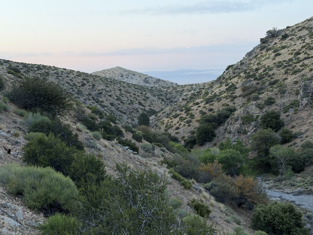
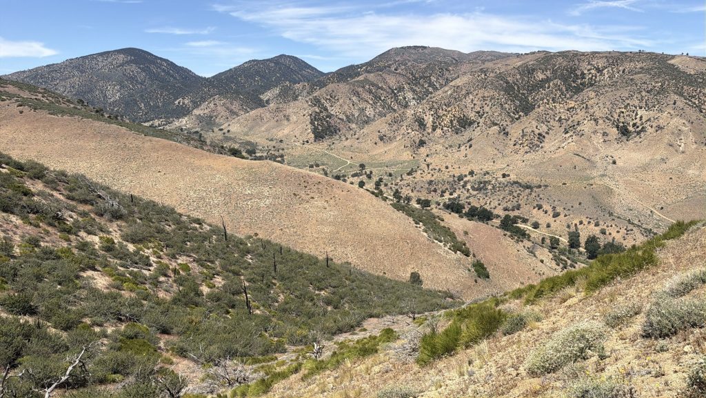
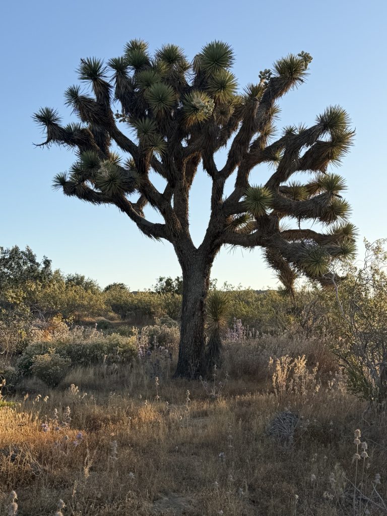
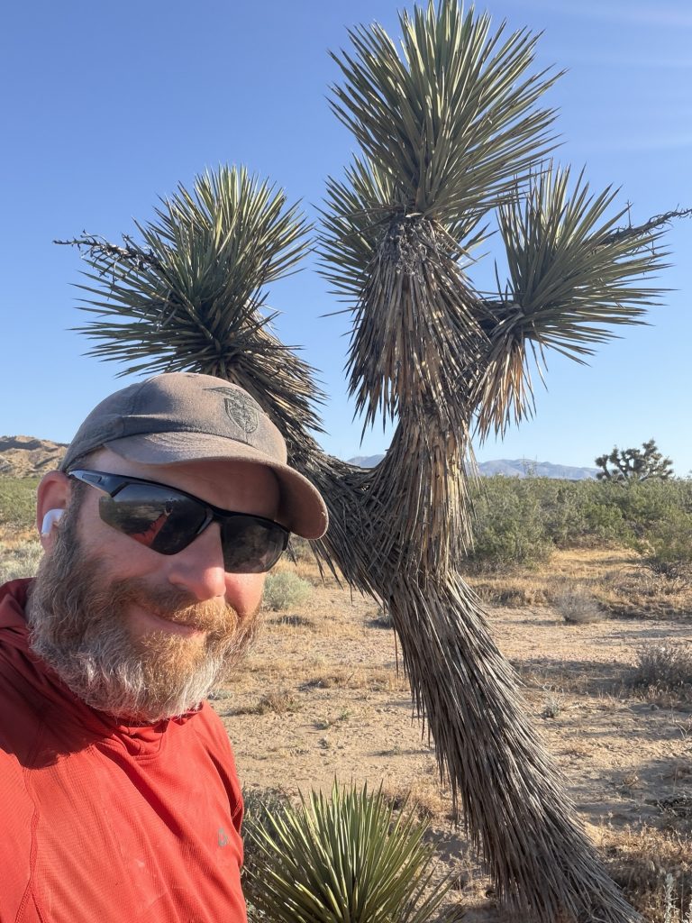
From here the desert got interesting and beautiful. It was probably some of the most beautiful parts of the trail I’ve hiked so far with views into Mojave desert. The landscape was littered with pop Joshua trees that served as the only wind block as it rapidly continued to intensify.
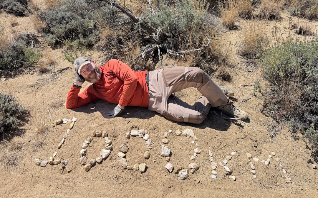
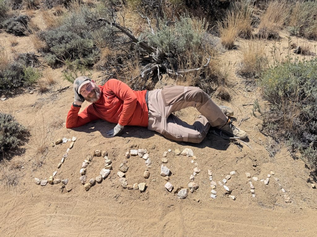
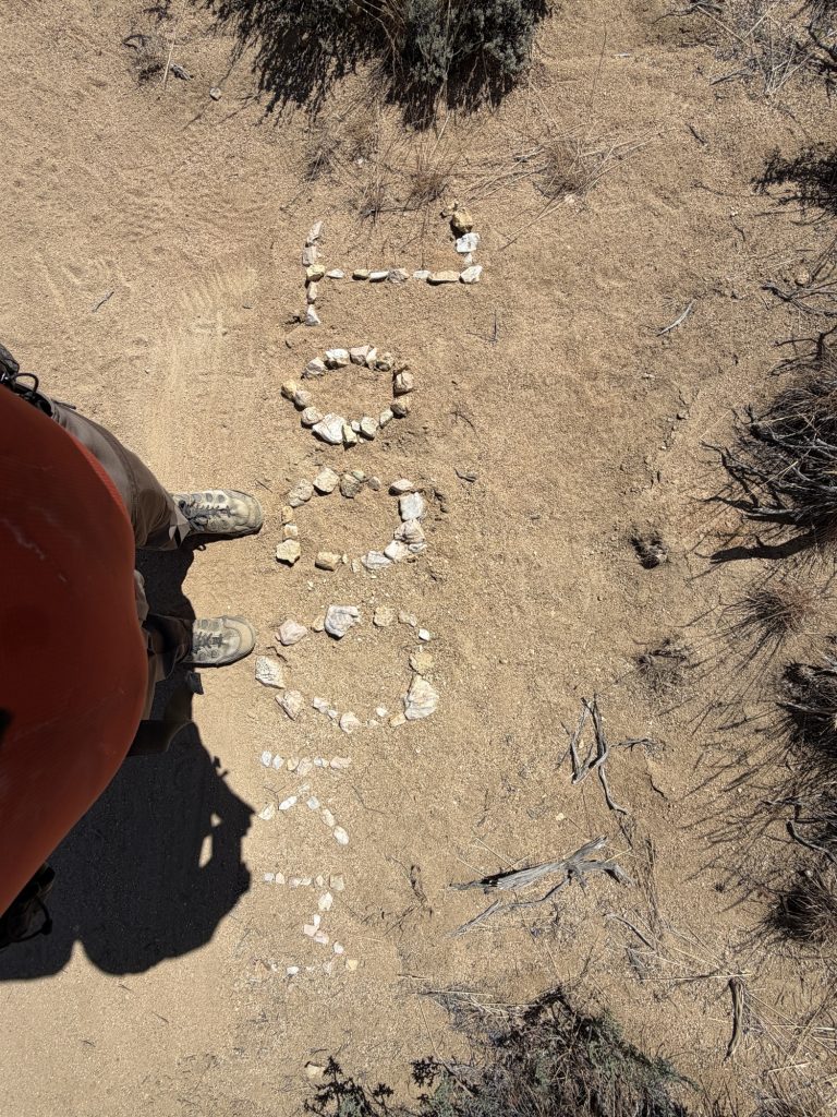
I passed the 1000 kilometer mark on the PCT. To put that in perspective Ottawa to Halifax is slightly less than this distance as the crow flies. Out here on trail it’s kinda easy to loose track of how impressive this is. Everyone out here are doing the same thing and hitting the same milestones. It’s just what we’re all doing for some strange reason or another. But when I stop to think about it… I suppose outside the trail, in my normal life, I don’t know anyone who has done anything like this. Maybe this is impressive but to me right now it just feels like hike, eat, sleep, repeat.
The winds were getting bad as I got closer to the water cache at Bird Spring Pass. At times I couldn’t walk forward. All I could do was brace myself from the unrelenting punishment it was continually unpredictably slamming me with. Most of the time I could hear a strong gust approaching before I felt it, giving me time to brace myself. Other times I got hit without warning. I almost lost my hat. Another hiker I talked to lost a water bottle. For fun at one point I leaned into the wind and it held me up. I later learned wind gusts at Bird Spring Pass were in excess of 76 miles per hour (122 kilometers per hour) which is equivalent to category 1 hurricane winds.
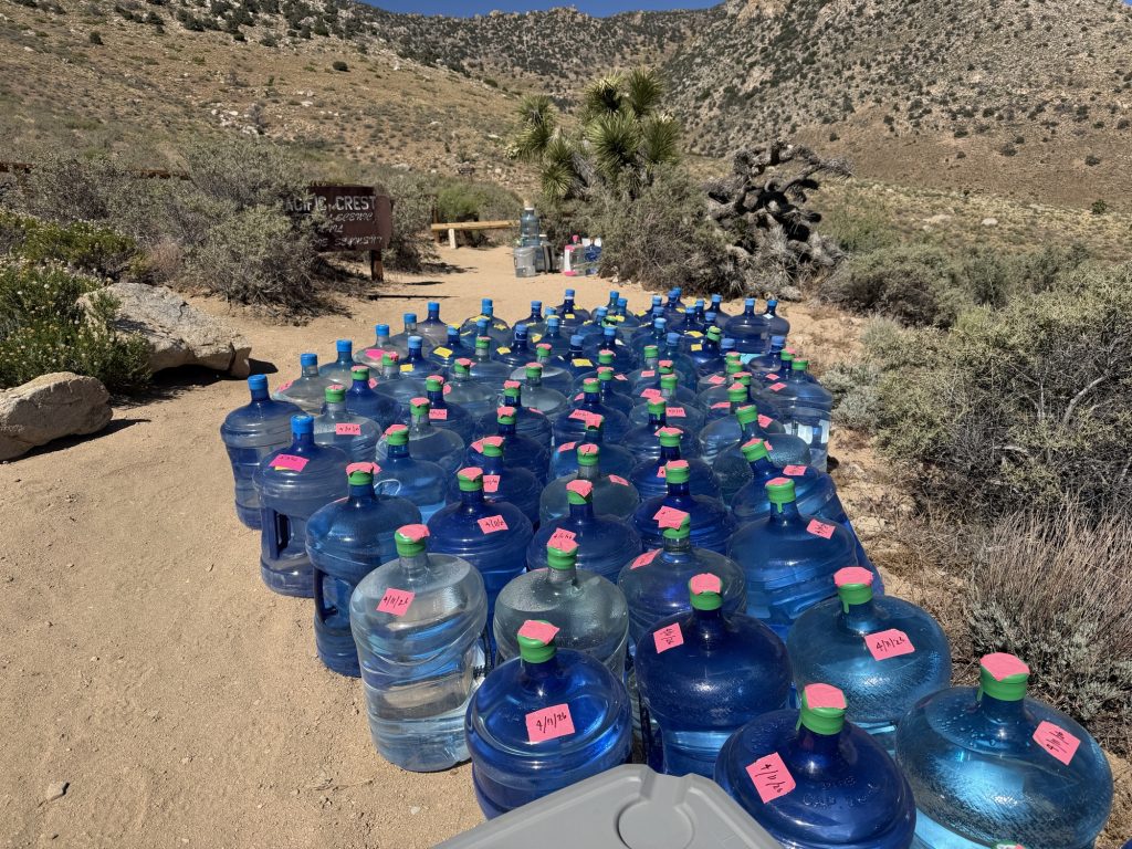
So much water!
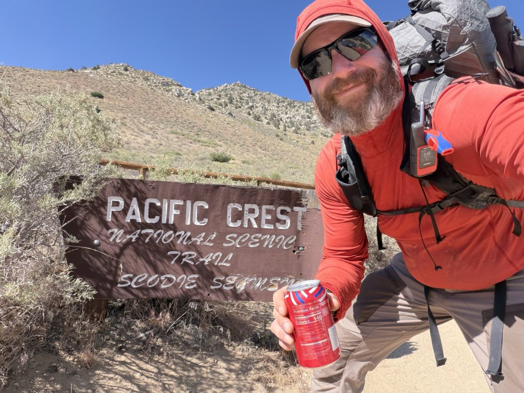
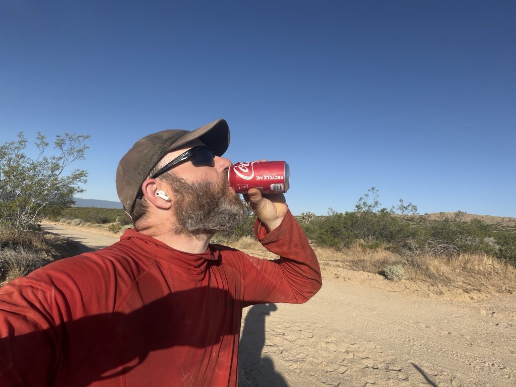
I arrived at the Bird Spring Pass water cache and was rewarded by finding a giant cooler with cola inside! I don’t think I’ve ever been so excited to open a random cooler in my entire life. I had thought of camping here as there was a significant climb ahead and I was getting tired from battling the wind but there were no places sheltered from the wind so i carried onward and upward.
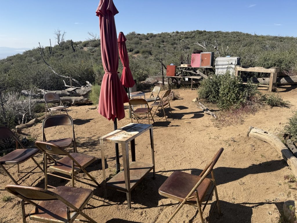
The climb was fine with the occasional bracing needed against the wind. Eventually I found a nicely sheltered spot . Or so I thought. Having now hiked 24 miles I was eager to be done for the day. I set up my tent and for the first time used my trekking poles for additional support (a nice feature of the x-dome tent I have), placed big rocks on all the tent pegs and set up guy lines. I’m not sure if the wind shifted, or if I was just being overly optimistic about the spot I had found but just as it was all set up a gust of wind came and lifted my tent off the ground. I acted quickly, grabbing it and dismantling it faster than I’ve ever done before. I saw damage, nothing catastrophic I thought but I could not inspect it here. I decided to continue on. What a shame… the sun set and sun rise at this spot would have been magical.
I hiked a few more miles as the sun was setting frantically looking for a place to set up for the night. I passed a few places that were all ready occupied with no more space for me. Maybe I would be hiking into the night… what if I just never found a place… I could cowboy camp. 3 miles and change later I finally found it. A shelter spot not on the map well protected by trees on all sides. A place to call home for the night assuming my tent wasn’t worse than I thought. I pulled it out of my bag and set up… only one small hole likely from the trekking pole I had used for the extra support. Nothing some duct tape couldn’t eventually fix.
I was exhausted, wind blown, sore, hungry but had no appetite. I forced myself to eat 1/2 bag of granola and some bars and went to bed.
I had basically just walked a marathon in hurricane force winds with over 10000 feet of elevation change. Not to many people can say that.
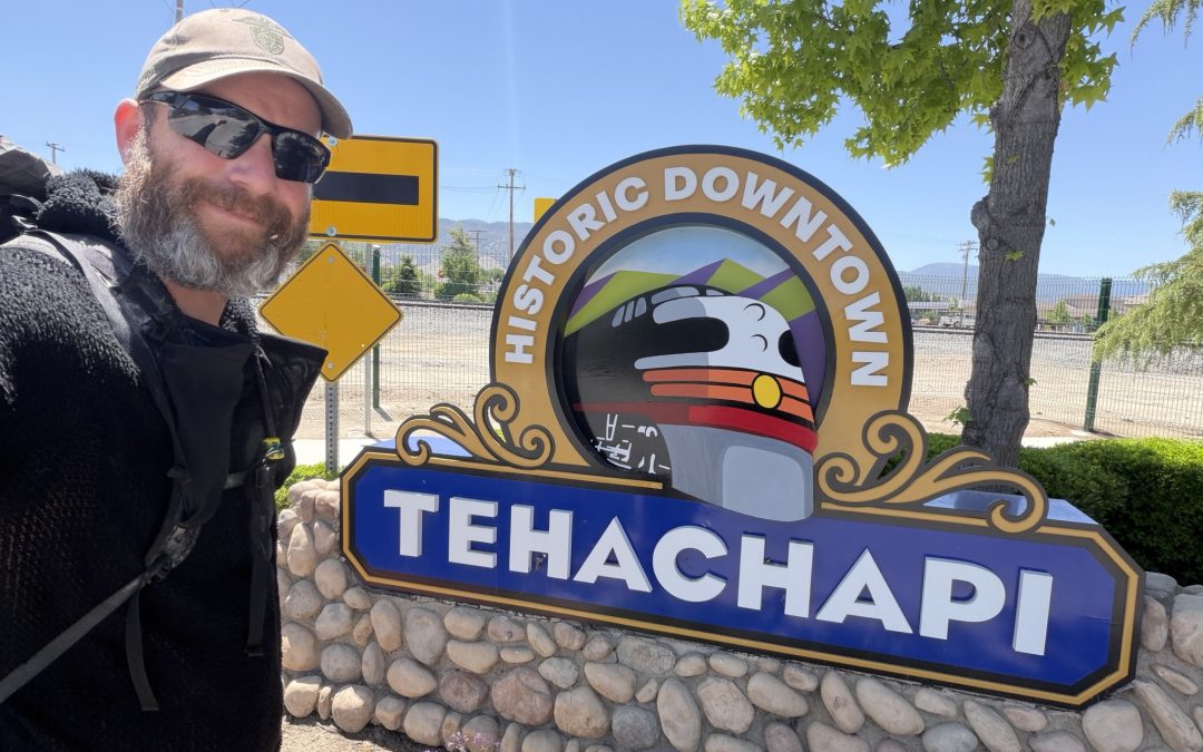
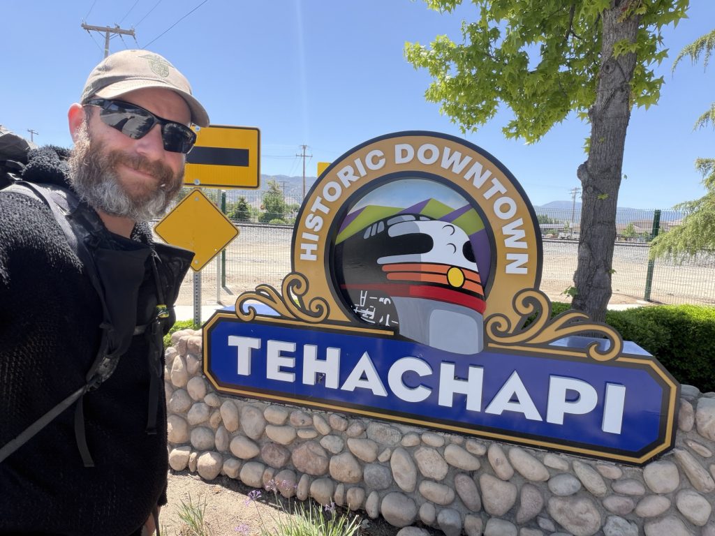
PCT Day 40 & 41 – Zero day in Tehachapi (566.6) to PCT mile 587.5
May 14 & 15, 2026
Total PCT miles: 20.9
Non PCT miles: 0.0
Total: 20.9 miles / 33.6 km
Total elevation gain: 5640 ft
Total elevation loss: 4764 ft
Steps: 48574
May 14 – Zero day
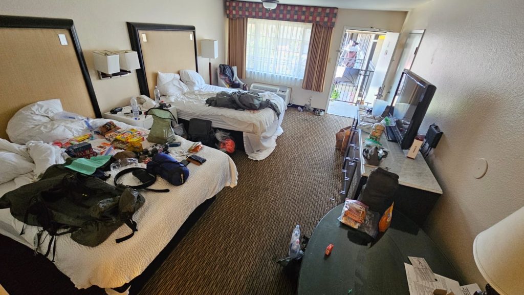
Hiker gear explosion: what happens when you have multiple thru hikers in a hotel room.
Unfortunately my zero day in Tehachapi did not involve much rest. I probably walked in excess of 5 miles throughout the day to get my town chores mostly done. But at least I did them after my first good night sleep in what feels like forever. This hotel definitely has the most comfortable bed I’ve slept in since arriving in the US.
After breakfast I made my way to the Wal Mart to do my resupply. I’ve decided that I am going to break up the next section by stopping in Ridgecrest. This means I only need 4 days of food instead of 7 if I were to go all the way to Kennedy Meadows. This next stretch also has some pretty significant water carries so keeping the food weight down is key. I was debating sending a resupply box to Kennedy Meadows but after being in the wilderness for so long a Wal Mart gets overwhelming. So in the end I didn’t. More than once while shopping I got stopped by locals to ask about how my hike is going.
Next up was the post office to get my replacement air matress!. Now, Tehachapi is overall an incredibly hiker friendly city with the exception of one thing: the post office is located about a 1.6 mile walk. But I didn’t have to walk the full distance either way As both ways a local pulled over and gave me a ride!
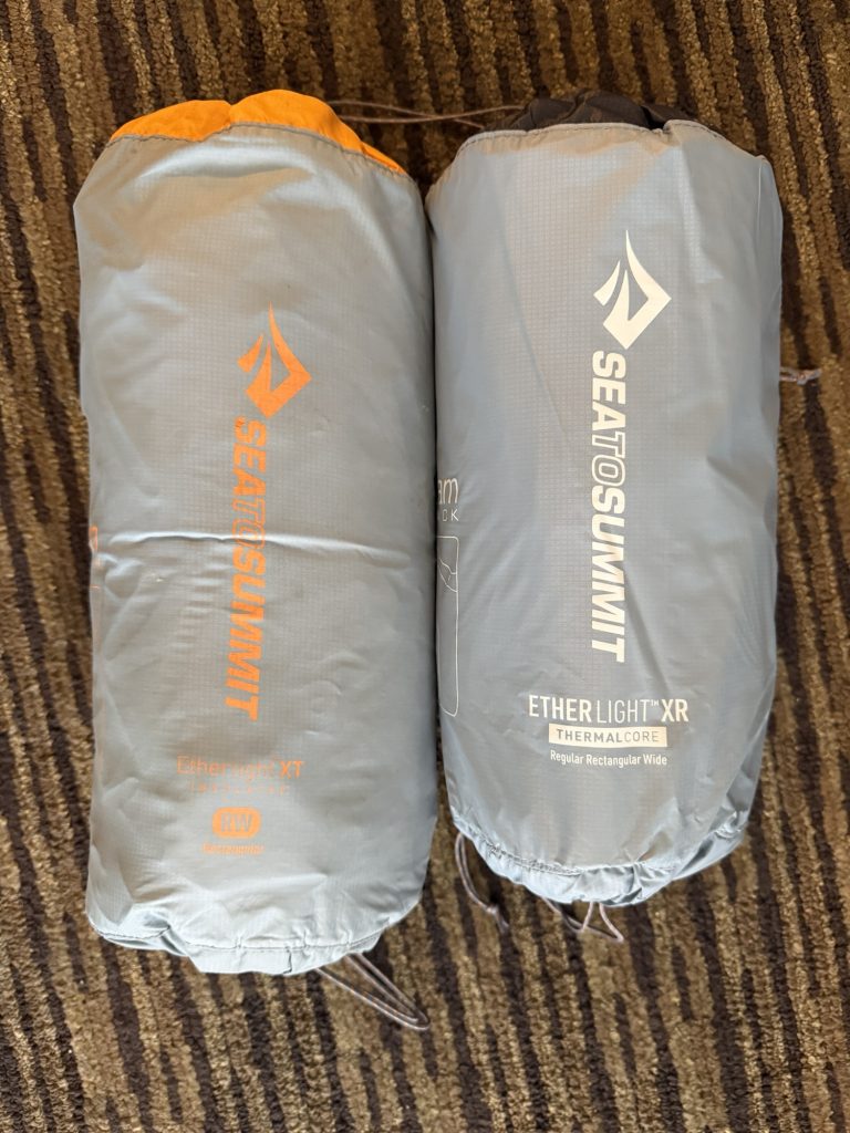
New air mattress on the right.
The new air matress is definitely an upgrade. It’s a bit lighter, it has a higher R value (warmer) and it packs up smaller! I must say I am very impressed with the service I got from Sea to Summit.
The rest of the day was spent doing laundry, catching up on my blog and cleaning Gear. Eventually Sage, Pinecone and Alligator arrived and were staying in the room next to ours so we got to catch up on the last few days. Finally it was time for bed as Ness and I had an 0800 pick up scheduled back to the trail head.
May 15 – Back on trail.
The group I have been hiking with all has different plans today. The three that got into town yesterday are taking their zero day today. Ness is starting further back on trail to do the miles she missed by taking the earlier entrance to town and I am starting at HWY 58. I really want to push it a bit and see how many miles i can do over the next few days.
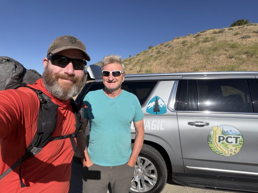
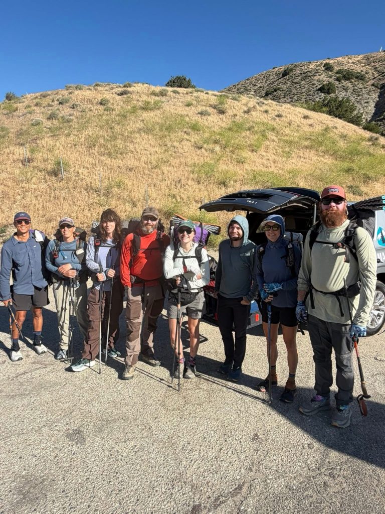
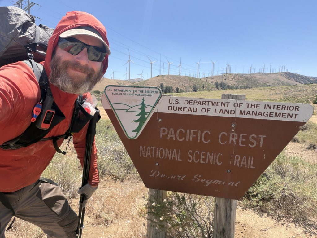
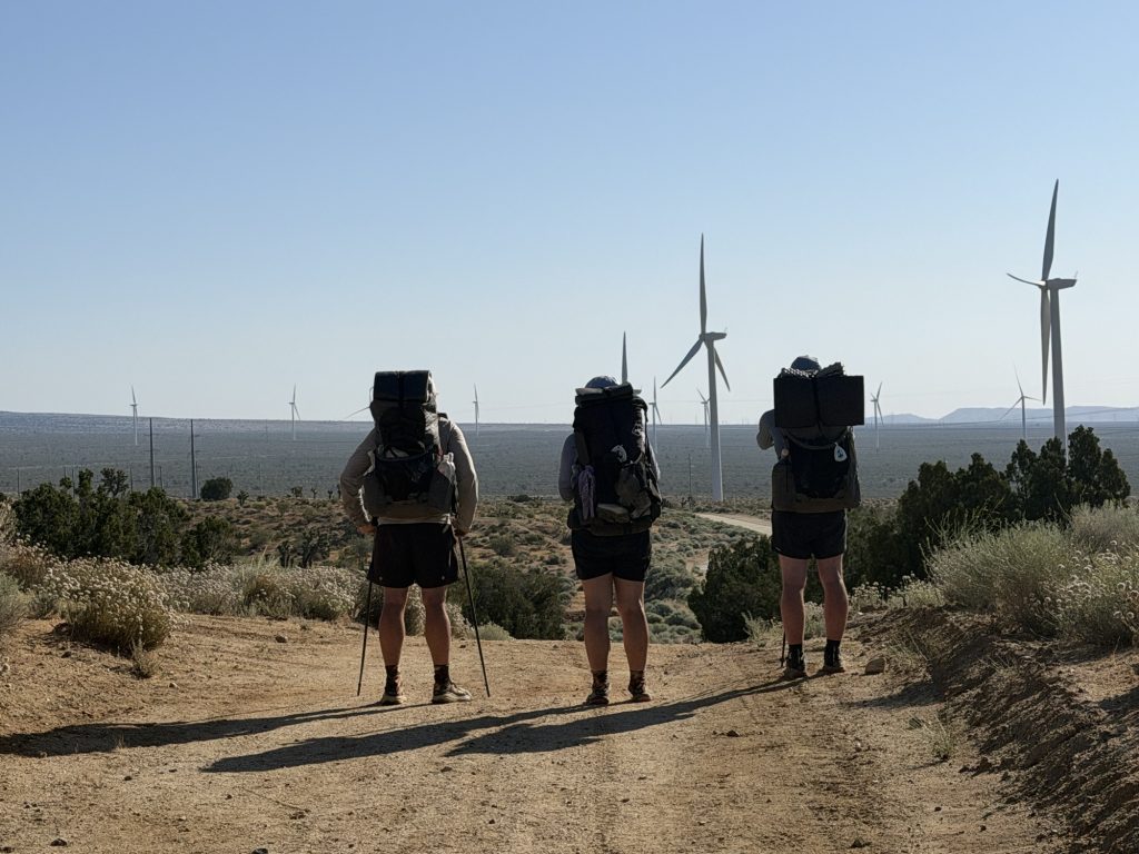
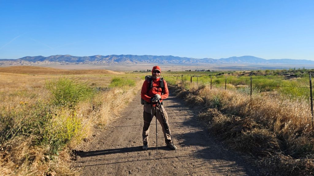
I was picked up at 0800 hrs by Keith, who is an absolute legend. He’s dedicated the entire summer to following the bubble while doing trail magic and giving rides. This is the 3rd time he has helped me out on this journey. I and 5 other hikers were dropped off at Hwy 58 and on trail at 0830.
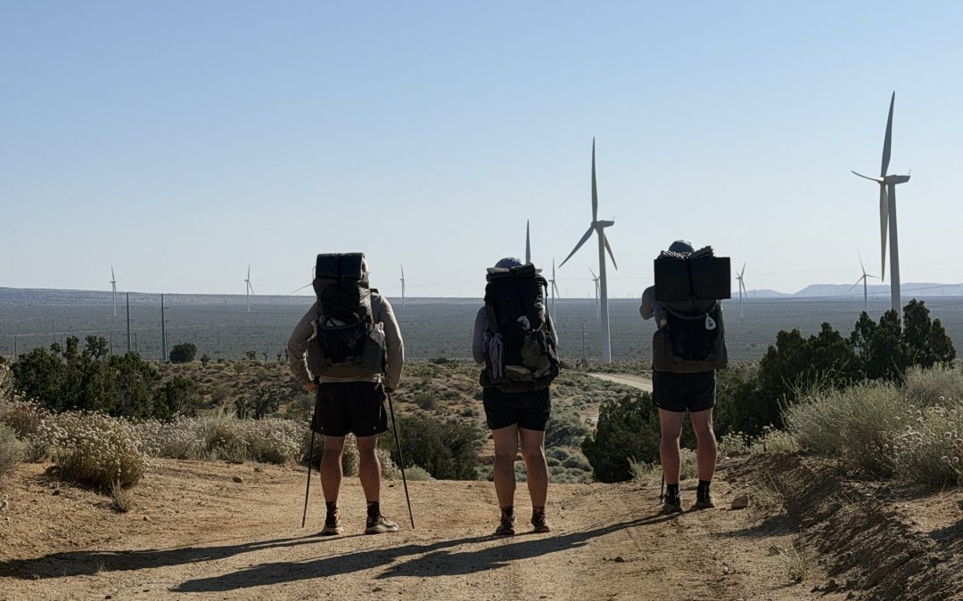
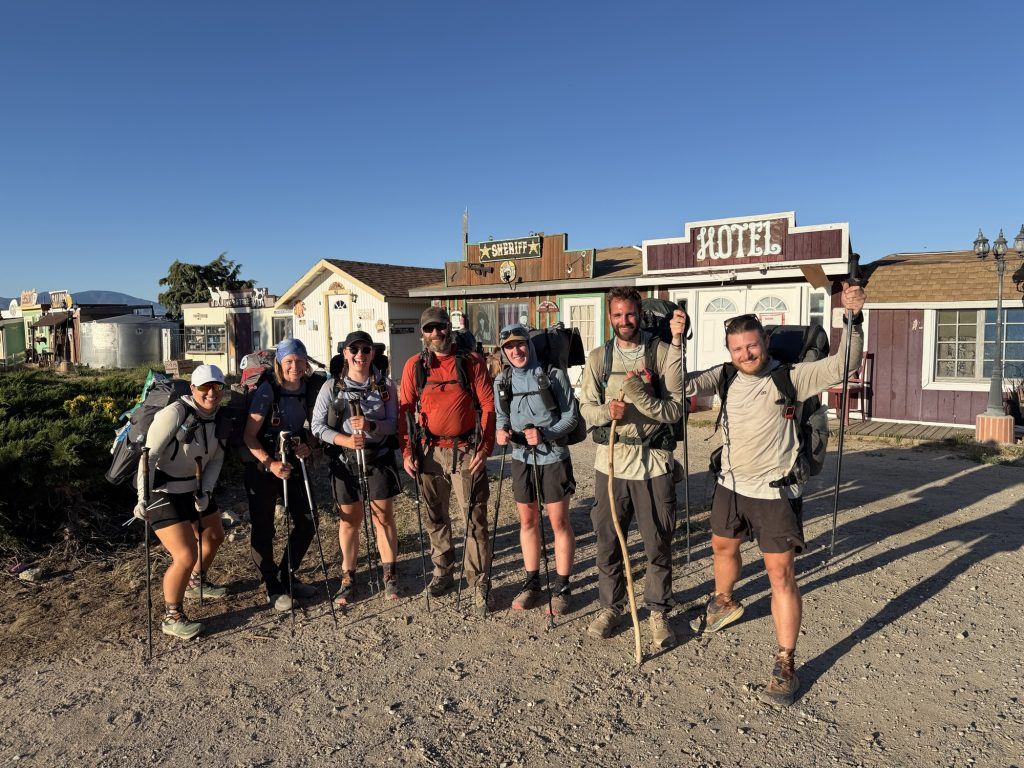
Group of hikers heading out!
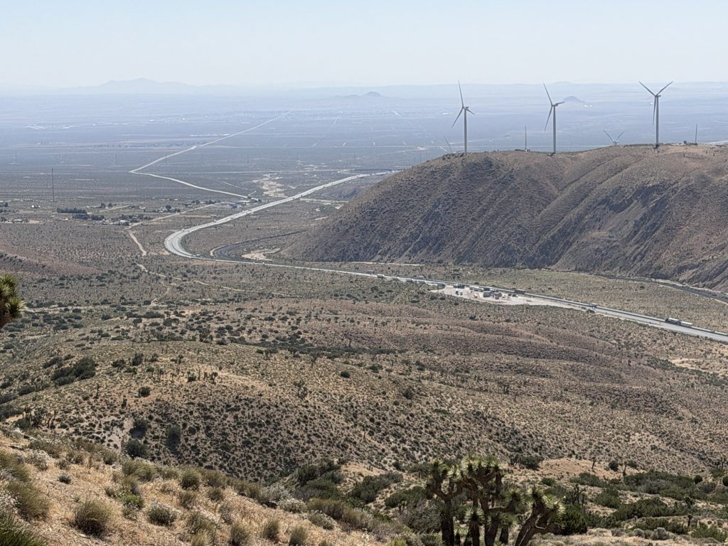
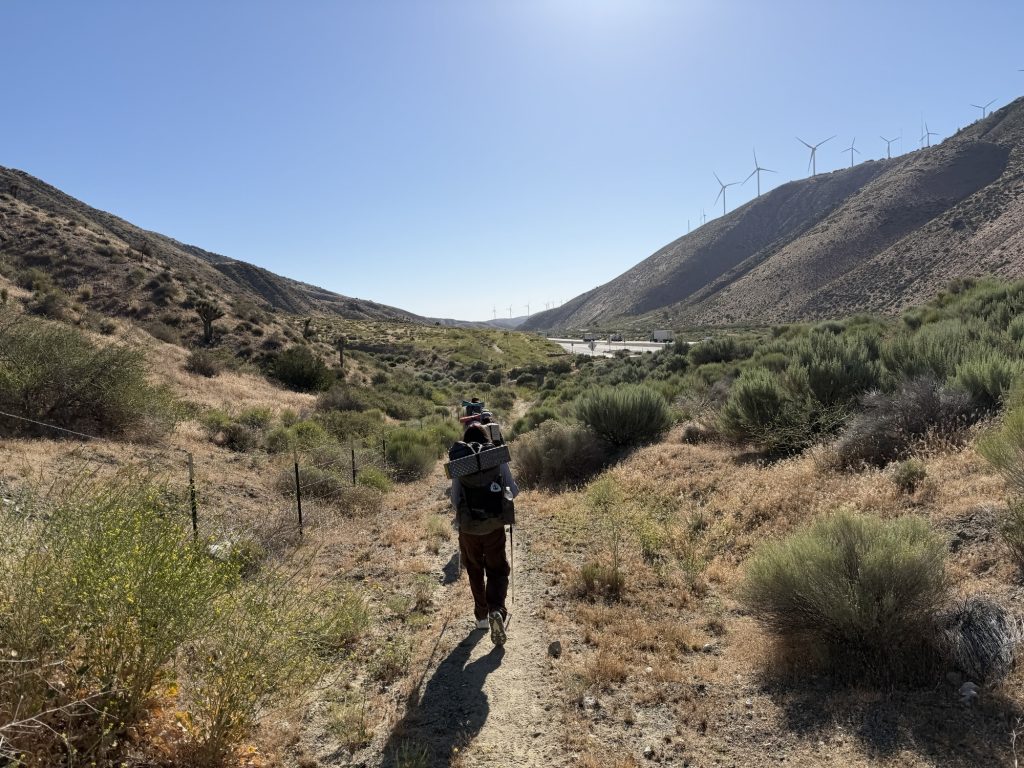
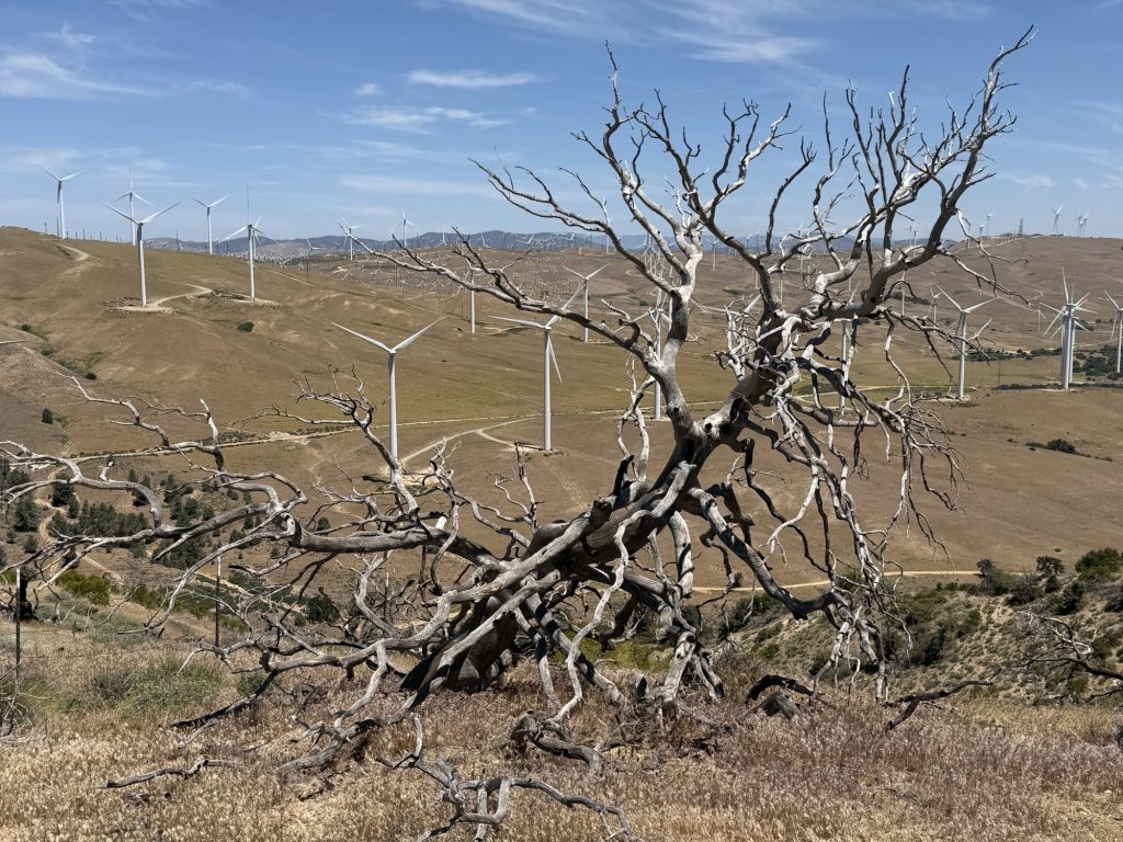
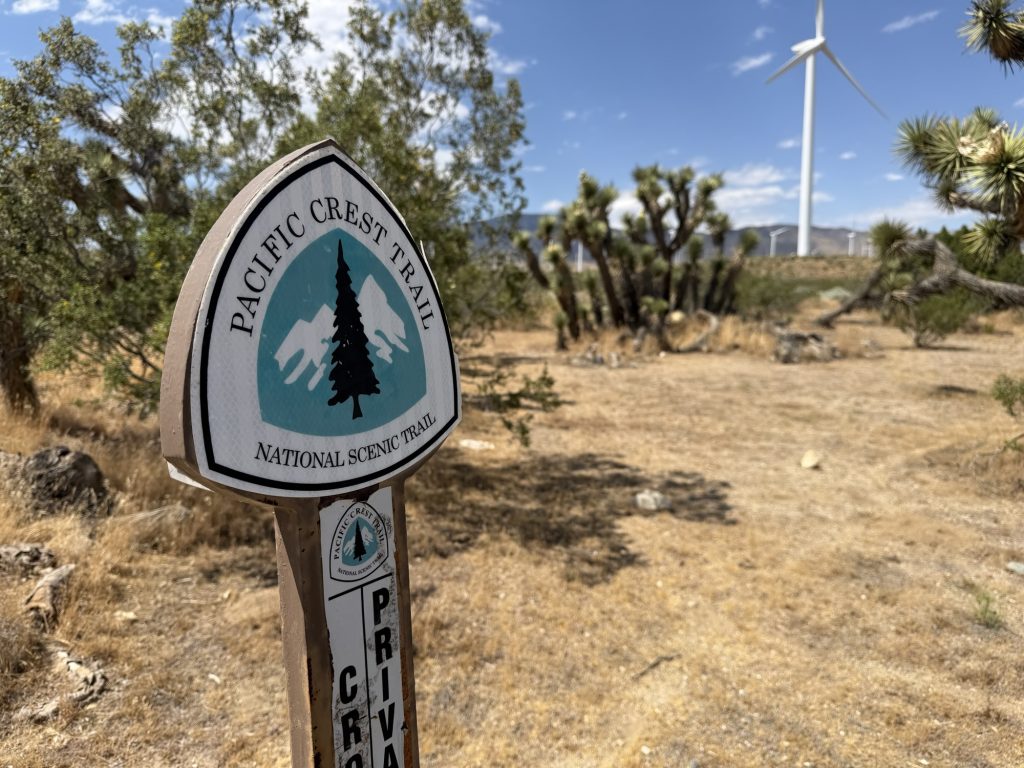
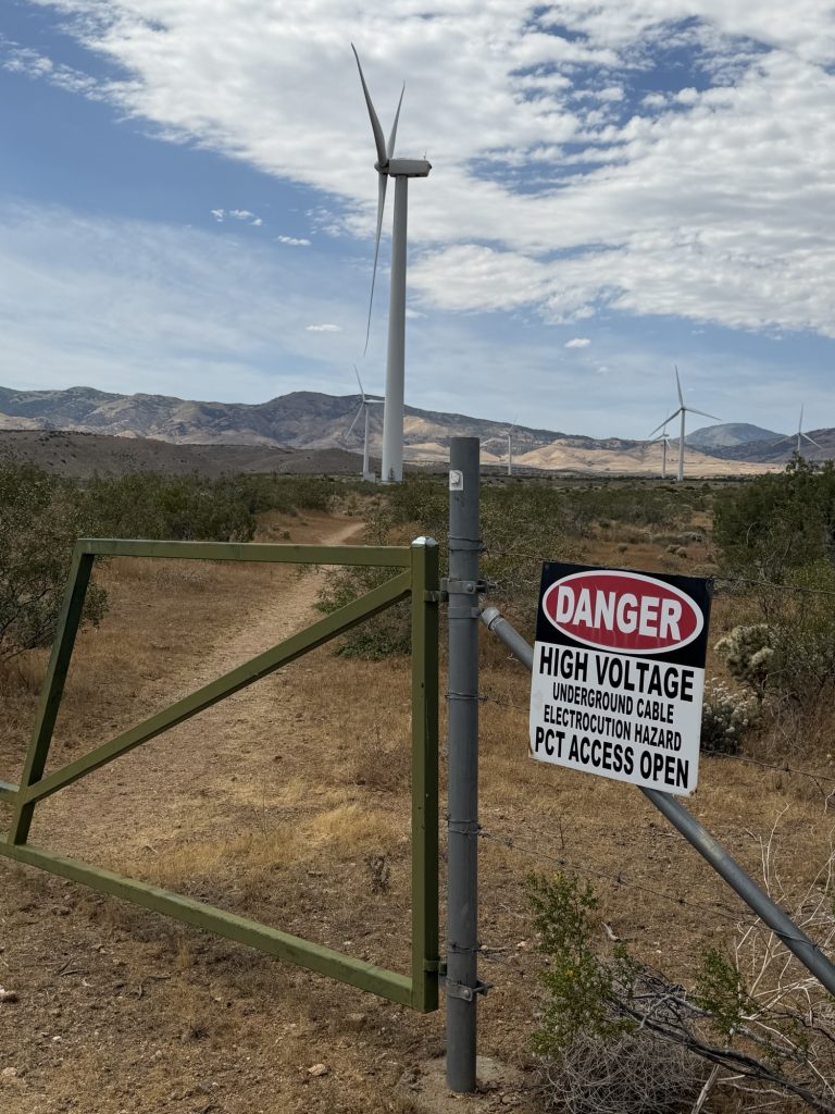
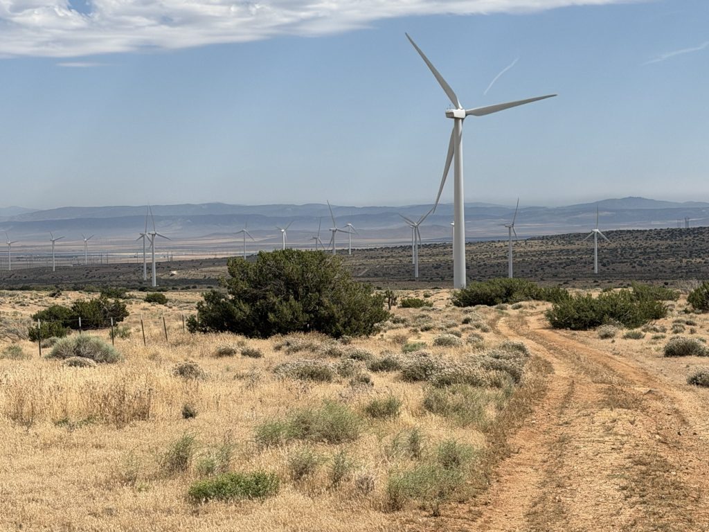
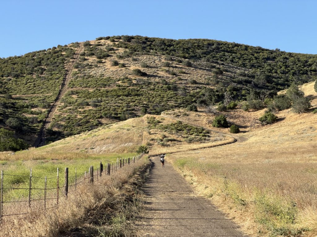
First up was the biggest climb of the day which is exactly what you want to do with a full resupply while carrying enough water to get you 16 miles. It always seems when you leave town there is always a uphill climb. My body was protesting with random aches and pains and it was slow going for the first two miles. Eventually the pains stopped or maybe my stubbornness over rode it. Unknown. The winds were howling with over 40 mph gusts. This was great when it was at my back helping push me along my way and not so great any other time. I passed more Joshua trees and wind turbines that were definitely generating plenty of electricity today.
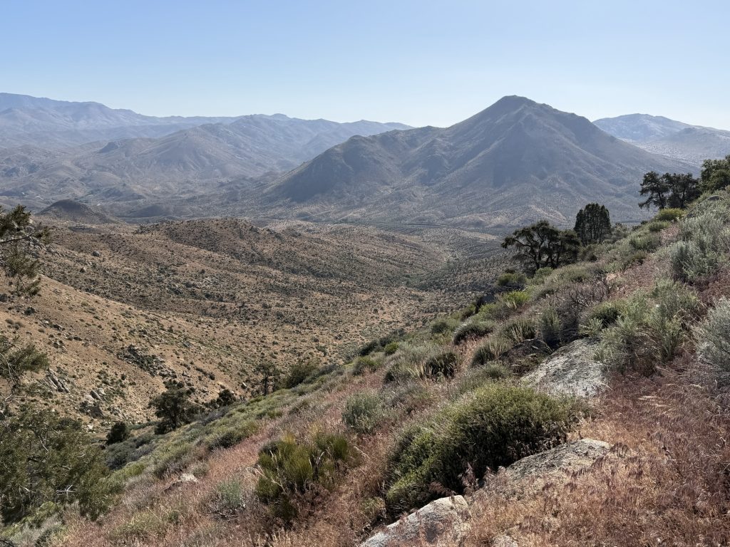
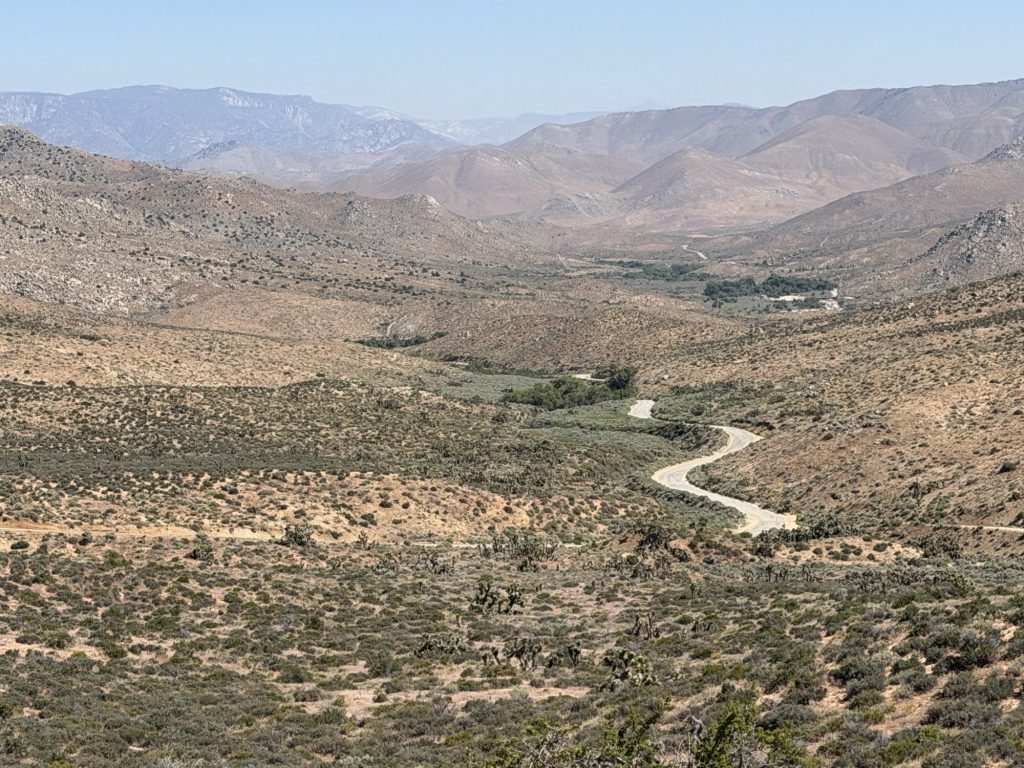
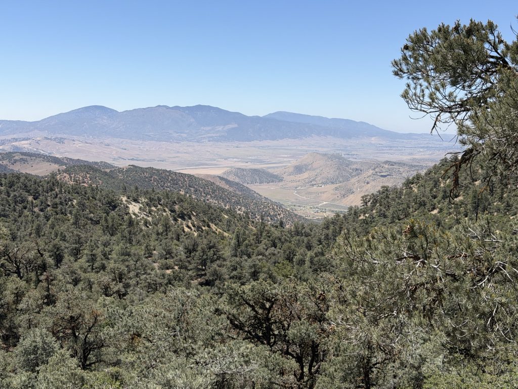
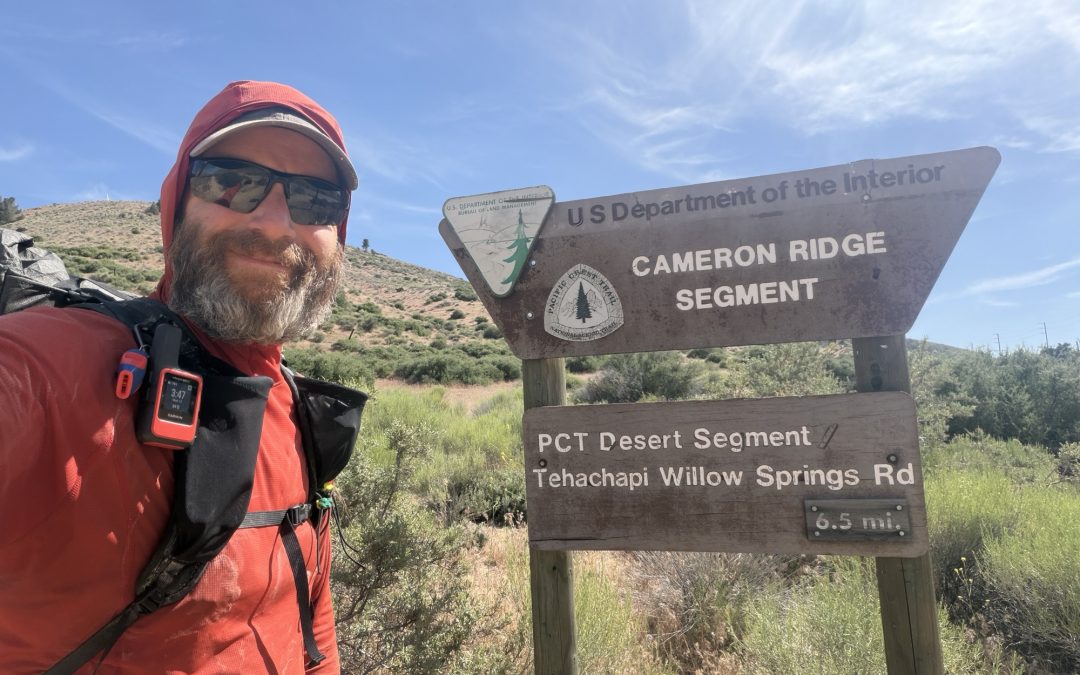
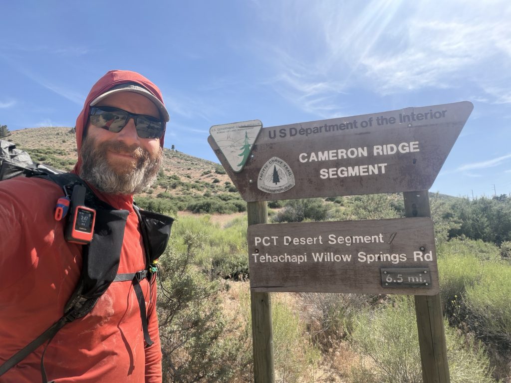
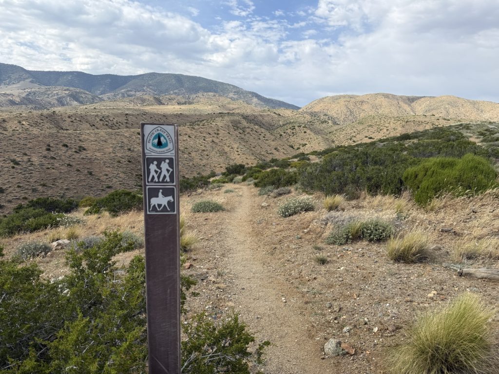
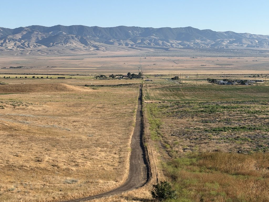
For a while the PCT takes a small mountain road for off road vehicles which was in very poor repair. This required careful navigation due to boulders, washouts and had plenty of places where you could injure yourself. Off in the distance I could start to see the Sierra! Almost 600 miles and soon the desert section will be done with new and exciting challenges to be faced.
I arrived at the first water source around 1500. There were already several people set up to camp in a really small area with plenty more I’m sure hoping to camp here. I decided that I would keep going. It’s 20 miles to the next water source… this meant leaving with 6 liters of water so I would have enough to dry camp and make it the rest of the way.
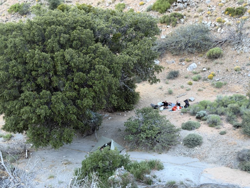
In 4 miles I was rewarded with a private campsite. I can’t remember the last time I camped alone. There are wind turbines nearby and I can hear them clearly from my tent but thanks to the trees and bushes I can barely feel the wind. Looking forward to a good night sleep on my new air mattress.
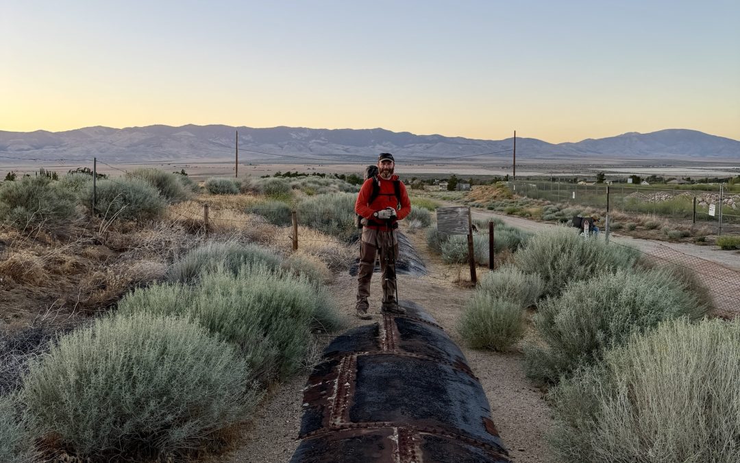
I’m sure you the reader will see a theme here and you will unsurprised to learn that I did not sleep well last night. Between the deflating air mattress and strong winds I struggled to stay asleep even with ear plugs in. I was up consistently between midnight and when my alarm went off at 0430 hrs. I had some oatmeal, packed up and was on my way at 0540.
The goal today was to put myself in a good spot to get into Tehachapi tomorrow morning. I’m not sure if it was the sleep deprivation, the hunger, the cooler temperture or if I was just hiking angry but I was absolutely crushing the miles.
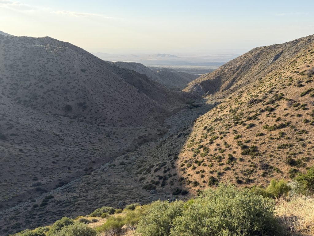
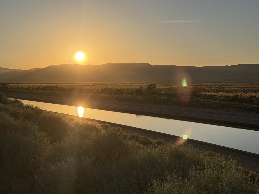
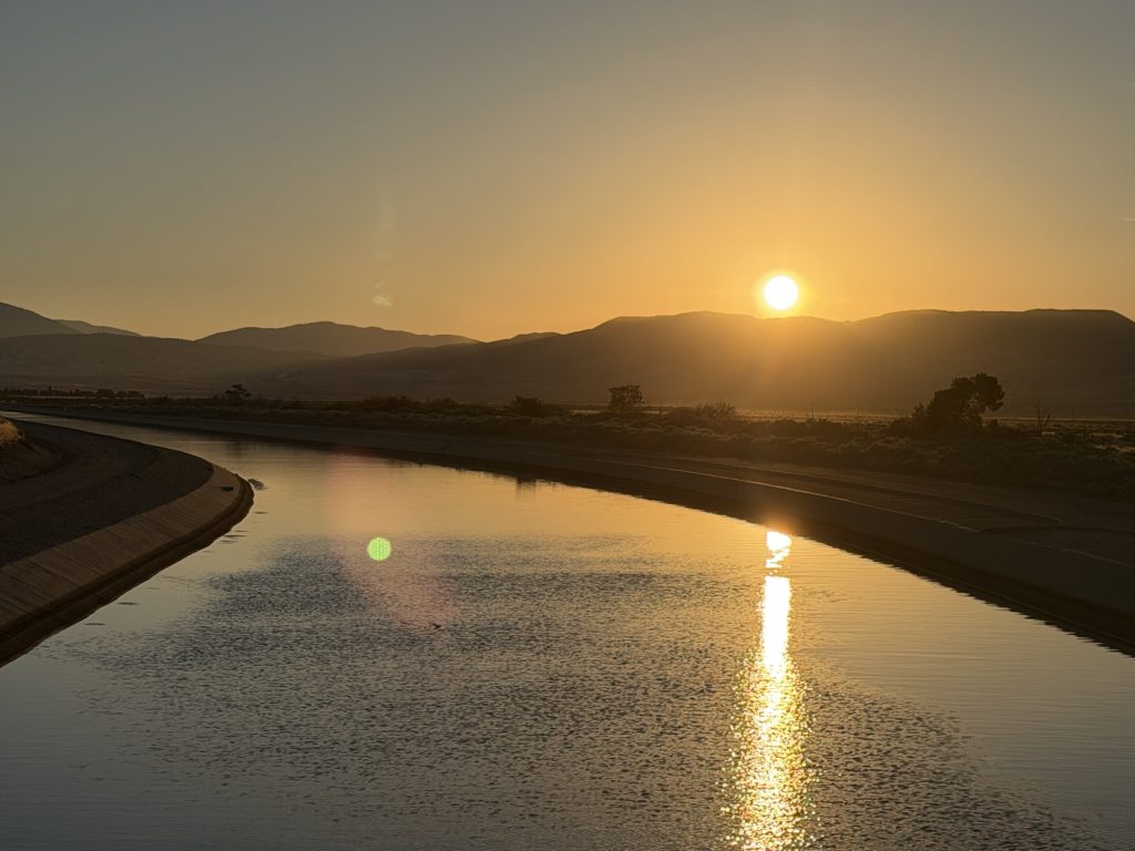
The morning was the most significant elevation gain of the day. Which thankfully I managed to mostly complete before the sun hit this side of the mountain. The climb was accompanied by the final views of the desert valley below and the damned aqueduct section that I am very happy to not have to hike again. It was however kinda awesome too look down the valley and to the mountains on the other side and think I had hiked all of it.
My first break was at a water cache located at mile 549. There were reports of fruit being left here for hikers but by the time I arrived there were only chips… but they were delicious all the same. From here I started descending and was really making good time. I was trying to catch Ness who had hiked further yesterday.
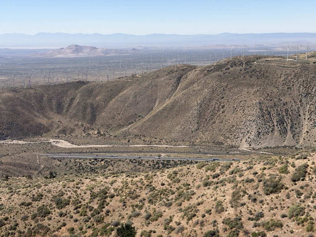
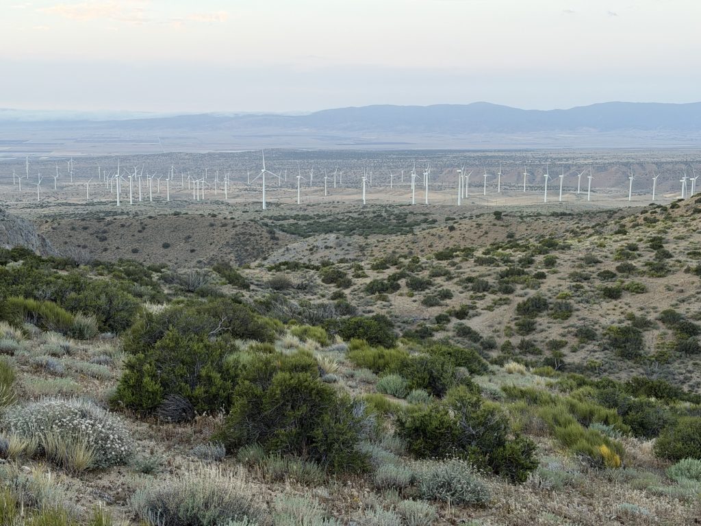
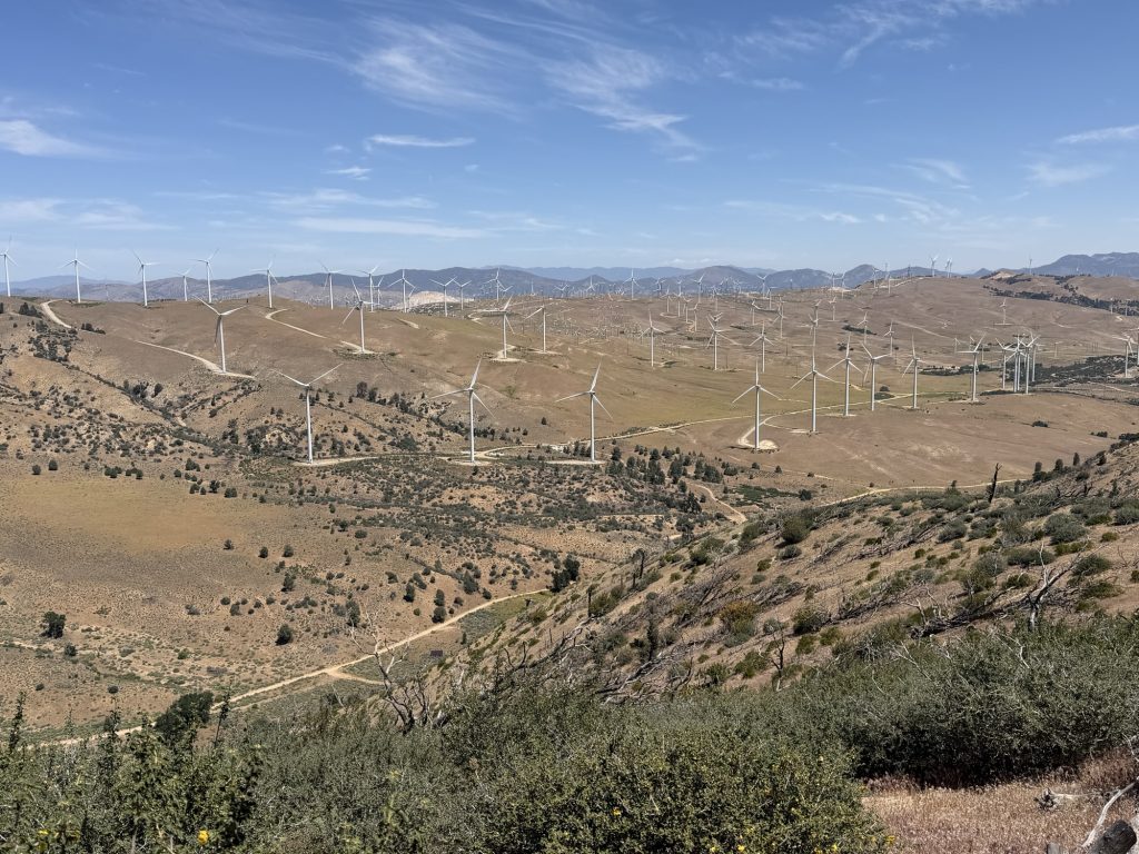
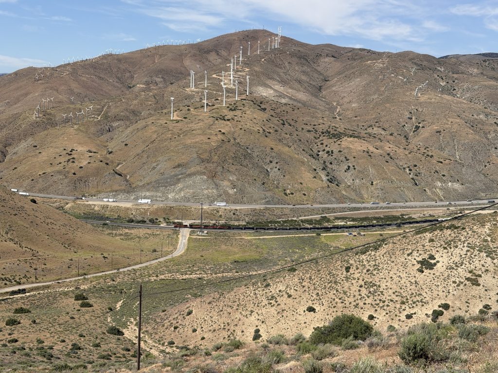
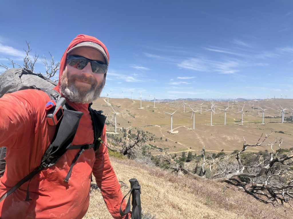
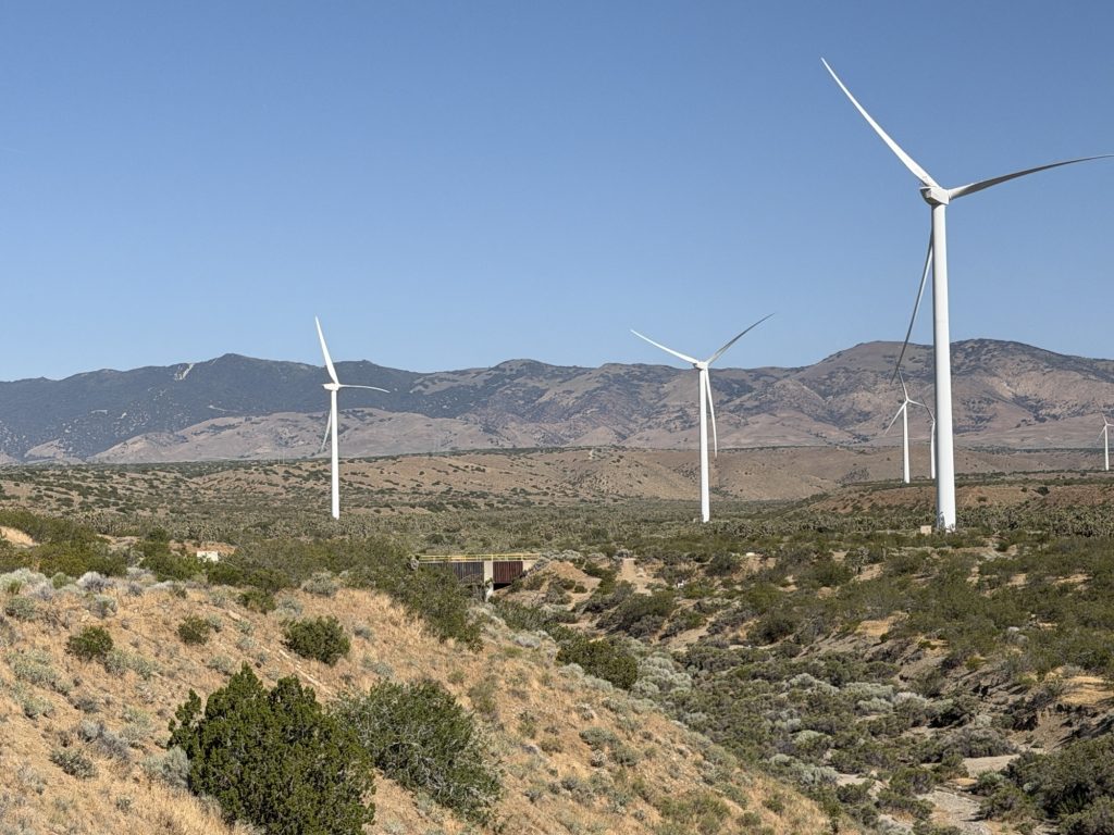
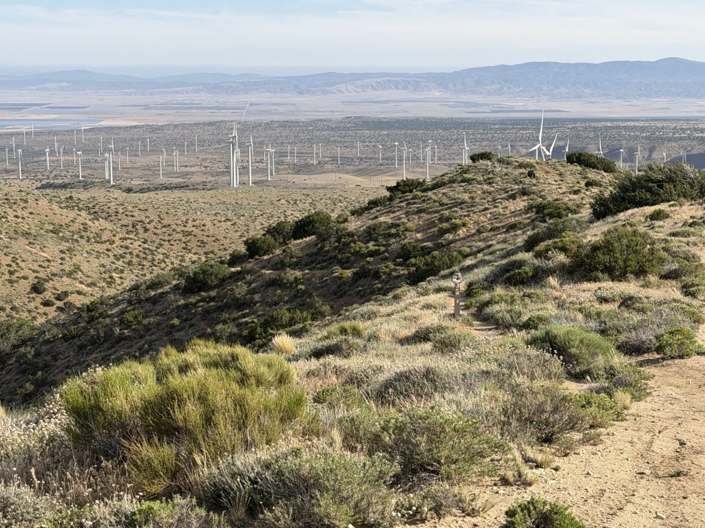
As i descended the winds started to pick up eventually reaching gusts in excess of 40kph. Entering into Tehachapi pass a massive wind farm started to appear. The mountains here combined with the heating of the ground creates a Venturi effect accelerating the wind making the area prime for this type of energy generation. I’m not actually sure how strong the winds actually were. The forecast said 40 kph but at times it was strong enough to blow me around on the trail and I had to use my trekking poles to stay on course.
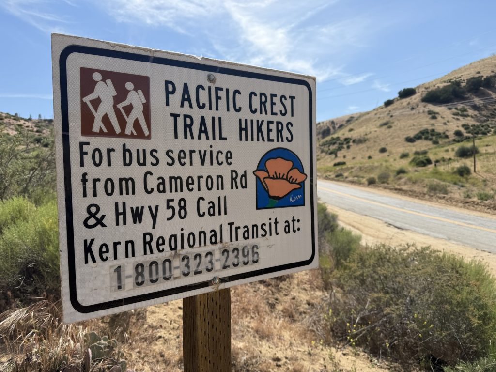
Around this time Ness messaged to tell me she changed her plans and was getting a hitch from the first road (Willow Springs) to Tehachapi. I continued hiking to the next water source contemplating what I would do. It was only 1300 hrs and another 6.5 miles to Highway 58, the second access point for Tehachapi. If I could do it that would make a 25 mile day and mean an easier start when back on trail due to shorter water carry. I was feeling good so I went for it.
I finished my 25 mile day at 1600hrs. I had only taken 2 real breaks and 2 smaller stops to change my socks out. I had only eaten oatmeal, a protein bar, a small bag of chips and some gummies. I had not slept well in longer than I can remember. But I did it – 25 miles! The longest I had ever hiked in one day and it included over 11000 feet of elevation change. It’s amazing how I can go from wanting to leave the trail one day to absolutely crushing it the next. I even think I could have done another 5 miles today without much issue. Honestly I was hiking angry and by the end of the day I had been successful in burning all that anger away.
I had a trail angle pick me up at highway 58 (thanks to Ness organizing) and went into town for much needed shower, food and rest.
The desert section of the PCT really knows how to give you a one two punch to the nuts. Today was hard. I won’t lie, it hard enough that it made me think about finding the fastest way home.
I woke up at 0500 after a very short and restless sleep. It’s been a while since I’ve had a good night sleep which likely correlates to the fact my air mattress seems to deflate more and more every night. Thank goodness Sea to Summit is replacing it and tomorrow night should be the last time I have to sleep on this one. Either way 4 hours of sleep after being awake for 20 and hiking 18.4 miles is nowhere near enough sleep. Add to this my appetite today is non existent and the 34 degree heat it’s a recipe for a very unhappy hiker.
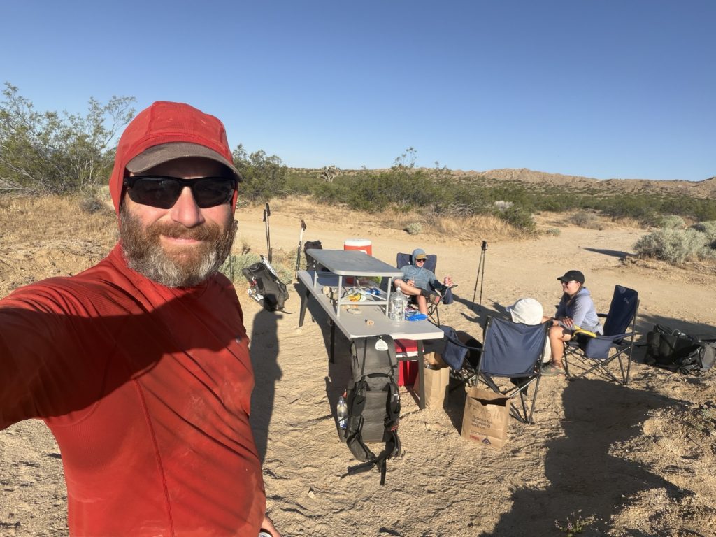
We didn’t start hiking until the sun was already starting to beat down upon us. Payback for doing our best to avoid its agony yesterday. We continued along the LA Aqueduct road entering into a section that had many Joshua Trees. The best part of the day came 2 miles in when we stumbled upon some trail magic left by Keith who is following the hiker bubble. He started by ferrying hikers from San Diego to the southern terminus and has now moved to the Aqueduct section. There were fruits, colas and Gatorade for all. Definitely the highlight in an otherwise punishing day.
The bridge you can see in this photo is where I hid from the sun for many hours
The PCT then enters a wind farm which at the moment was not generating any energy as there was no wind. After 6 miles we reached the first real bit of shade and potentially last reliable shade we would see for miles. Here there is a bridge as the aqueduct runs over a creek. Several hikers were already here having hiked here the night before. I found a shady spot and did my best to get some sleep. The rest of the group carried on but I decided to stay. It was already near 30 degrees and I was tired.
There were a few hikers who had a rude awaking as out of no where the dry creek bed they were sleeping on was unexpectedly filling with water. I assume some over spill from the aqueduct? It flowed for many hours. Eventually the wind did start to pick up significantly which help keep me cool in the shade but I got no rest.
Just as the temperature started to cool down I was on my way. It was still 33 degrees but at least it would get cooler and not warmer. I also couldn’t just sit still in this spot anymore. I was instantly drenched in my own sweat as I forced myself to walk towards the next set of mountains that would get me out of this Damned valley. I kept a slow pace and drank lots of water (which for some reason tasted like soap). The climb up the first foothill leading to the next camp site took me way longer than it aught to but I eventually reached it. My plan was to continue on for a few more hours but as I was leaving I saw most of the group had stayed here. I’m glad they did because I don’t think it would have been smart for me to carry on.
Tomorrow is suppose to be cooler. So let’s hope it’s a better day. I may have thought about quitting. But I’m not going to.
PCT Day 37 – PCT mile 510.9 to mile 529.3 via Hikertown and LA Aqueduct
May 11, 2026
Total PCT miles: 18.4
Non PCT miles: 0.0
Total: 18.4 miles / 29.6 km
Total elevation gain: 1654 ft
Total elevation loss: 2589 ft
Steps: 46456
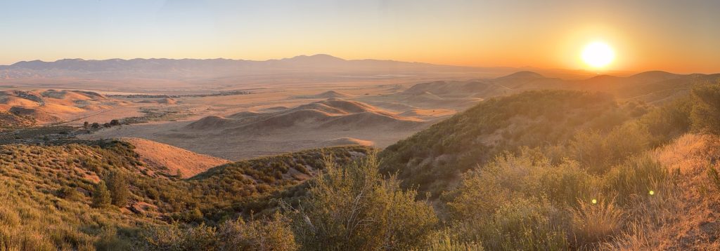
Today was just wild and full of iconic PCT experiences. I woke up and was on trail by 5am in order to beat the heat into Hikertown. The trail takes the most ridiculously classic PCT “scenic” route through the foothills. I spoke to several people later in the day who chose to road walk the more direct route instead. As the sun crested the mountains on the other side of the valley I was treated to a absolutely breath taking sun rise. That almost made the scenic route worth the effort.
The plan today was to see Hikertown, an icon stop on the PCT, but spend most of the day at a nearby cafe. There we could enjoy some real food, hopefully top up our snacks, and wait out the hottest part of the day. The cafe is about 4 miles down the road from Hikertown and Far Out had a number to call to arrange a ride. When we got to the highway Ness called them and it was very difficult to understand the person on the other end. No ride was arranged and she kept insisting she couldn’t make food because she had no tortillas. We decided our next best step was to go to Hikertown to see if a ride could be arranged from there. Maybe we might have to go to Lancaster if there was no food to be found.
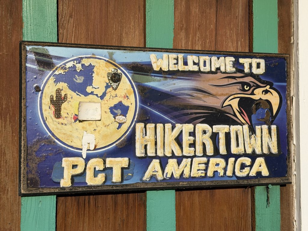
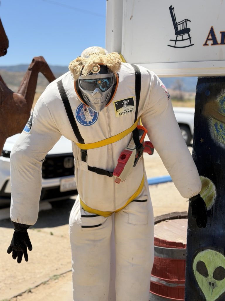
Hikertown is located just before hikers begin the infamous Los Angeles Aqueduct section of the Pacific Crest Trail, they arrive at a place that almost feels like it shouldn’t exist in the middle of the Mojave Desert.
Hikertown is part hostel, part movie set, part junkyard, part trail oasis, and part complete mystery. For decades it has become a legendary stop for PCT hikers. Many hikers rest here during the heat of the day before beginning a night hike across the aqueduct.
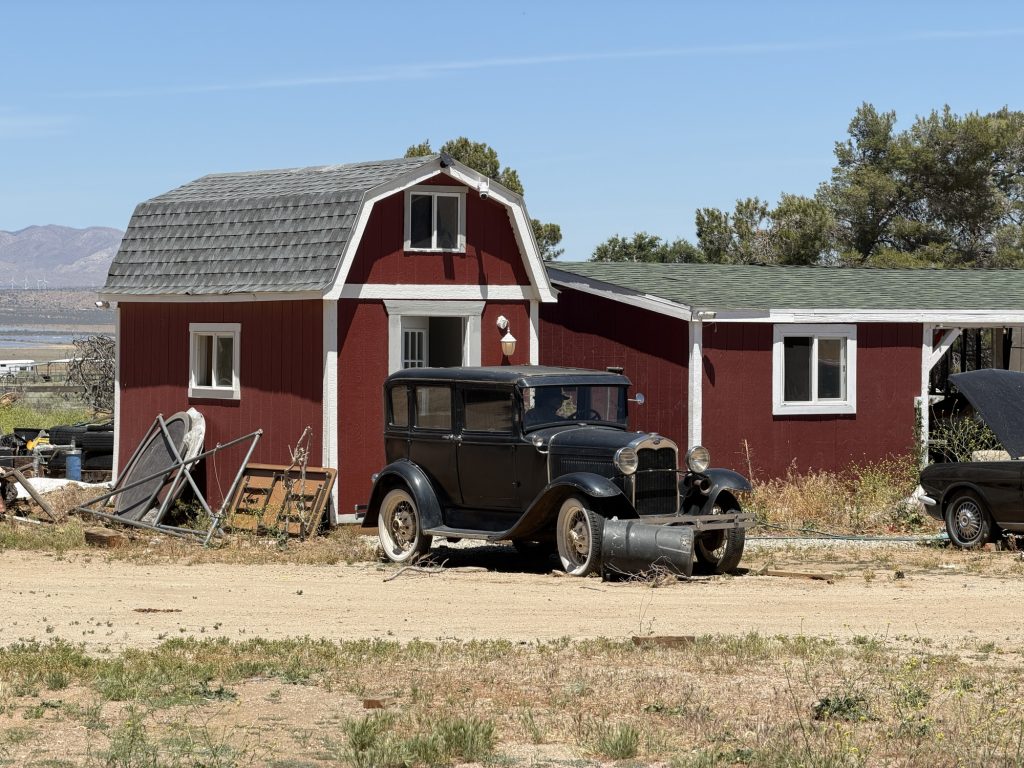
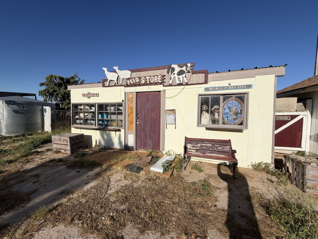
The property itself is unlike anywhere else on trail. Small themed buildings are spread around the grounds like an old western movie set. There is a sheriff’s office, schoolhouse, saloon-style structures, and tiny cabins pieced together from a strange mix of old props, recycled materials, trailers, and desert creativity. Some hikers love it. Others find it deeply strange. Nearly everyone has a story about it afterward.
I walked aimlessly around the property admiring this chaotic place I’d read so much over the years when I ran into the owner. Hikertown was created by Richard Skagg who is or was a television and film producer. We inquired about the nearby store possibly having no food and about getting a ride to check it out. Richard owns the store and said that’s ridiculous there absolutely is food. He left and made a phone call. Less than a minute later he returned and said there is food she just can’t make burritos. He then proceeded to hand me a set of keys saying “you have a license right?” I was confused, maybe he wanted me to drive him there, I mean he is an elderly guy, but then he proceeded to tell me to follow him to the store in a grey Dodge Ram.
So here I am in the absolute middle of nowhere getting into a vehicle owned by a Hollywood producer who has known me for all of 30 seconds and driving it to the store. I have no idea if it’s insured, if it’s registered but I can tell pretty quickly it’s not the safest vehicle on the road. It pulls hard to the left, the shocks are done and the driver side door doesn’t feel like it closes completely. Fortunately the store is only a few miles away. Unfortunately he didn’t let me drive the Ferrari parked next to his house. I am however completely flabbergasted and outright confused on what has just transpired.
On the way to the store I picked up two other hikers. Marble and Sonya and recounted my story on the way to the Store. Neither were really surprised as apparently this is just something he does.
Napping spot behind the cafe.
The store did have food – breakfast and lunch was had but the resupply options were very very limited. But I was only in need of snacks and I could make it work. I asked Richard if I could use the truck later to pick up some friends at the trail head and he was good with that. He also told me to take a nap in the back building and relax. After I ate breakfast we sent a message to the rest of the group telling them to let me know when they were close to the trail head and I would come pick them up in a truck and that I would explain then.
I sat around listening to Richard tell stories about Hollywood stars and Presidents (with photo evidence to back it up) until he left to go to town. He has certainly lived a full life.
The rest of the group arrived at the trailhead around 11:30 and I met them there with the truck I had acquired and cold cola and recounted the story of this mornings events as I drove them to the store.
We spent the afternoon relaxing and trying to get some sleep for tonight’s night hike of the LA Aquaduct section. We probably should have started earlier but we finally got packed up to leave to store around 17:30 and I drove us all back to Hiker Town. I gave Richard his keys back and he actually thanked me for driving ourselves to and from the store. Before we left he recounted the story of how he and his wife became unsuspecting trail angles to a bunch of “homeless” kids after buying this property not knowing the PCT ran directly through it. I feel blessed to have had the chance to meet this man and part of me wishes I could have stayed here for a while but I’m not sure I would have ever escaped the vortex.
We set off around 1900 for the LA aqueduct as the sun was beginning to set. The walk started with lots of energy and excitement. There was a mind blowing sunset that turned into glowsticks, dancing and music. As the night went own fatigue set in hard accompanied be the pain of basically walking on concrete for hours. This was embracing the suck, a march of zombies pushing themselves until finally someone said no more. At midnight we set up camp just off the side off the road. I was exhausted, nauseated, hungry with no appetite and crawled into bed as soon as possible. There would only be a few hours of sleep tonight and I wanted every minute possible.