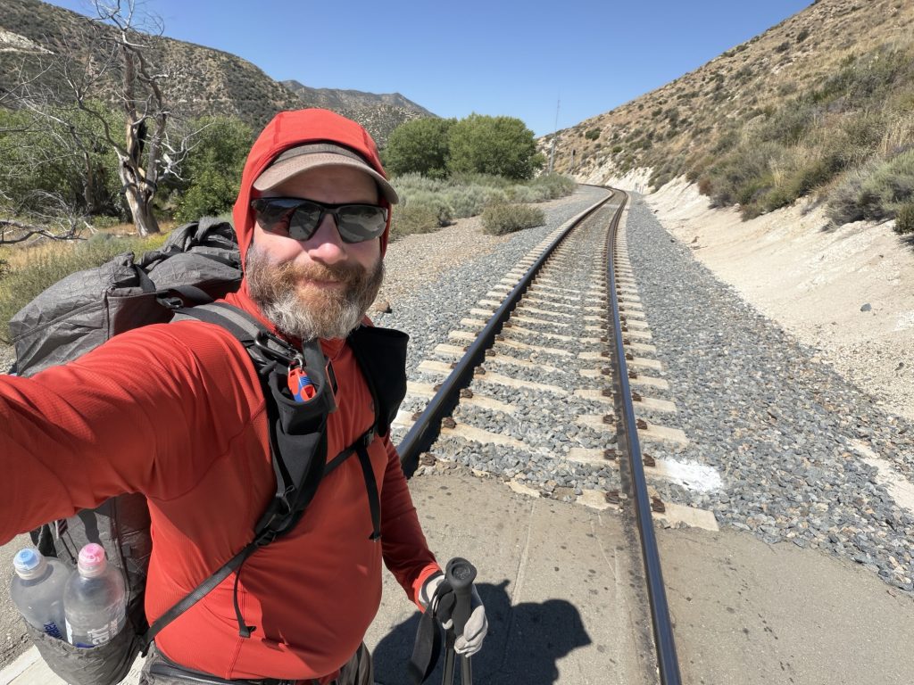
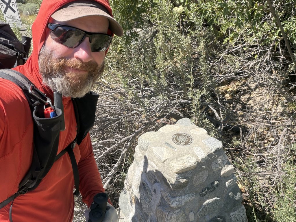
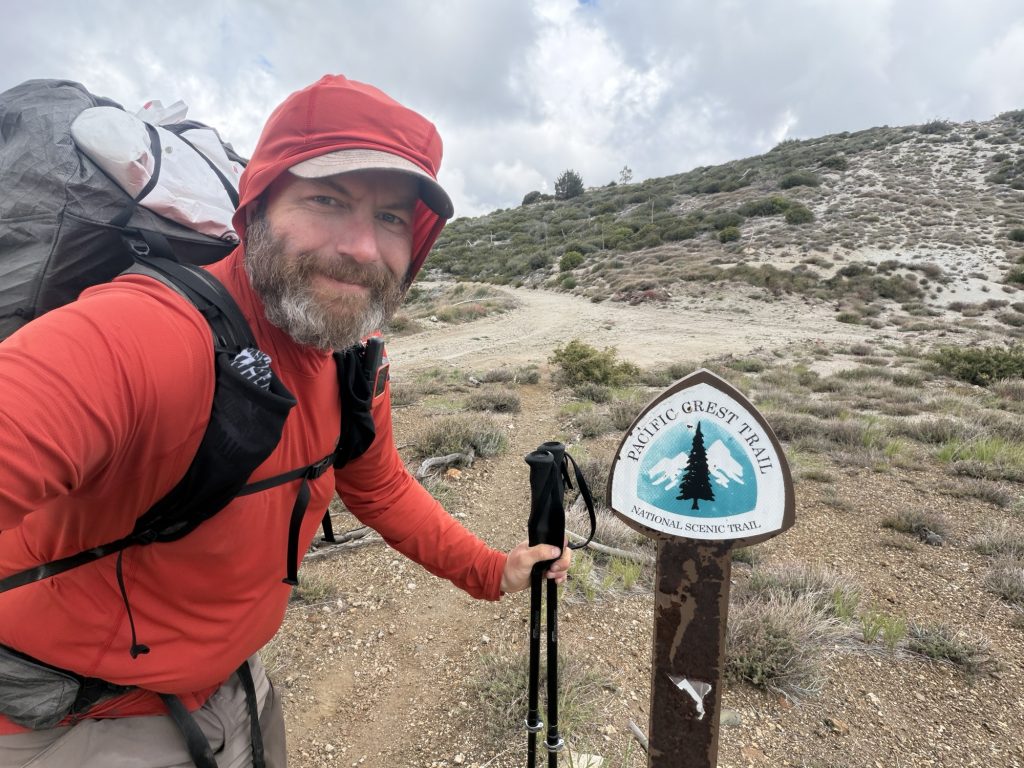
It was a warm but damp night resulting in a cool morning. But unlike the last few days the sky lacks clouds and the sun will soon be out and provide more than enough warmth. Our group of hikers packed up and were on trail in search of a sun bathed place to enjoy breakfast.
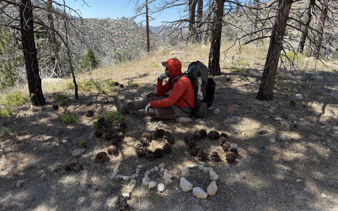
One mile in to the day we found just the place on top of a small ridge just above the trail. What does one eat for breakfast while on the trail? It seems everyone but me enjoys oatmeal whereas I tend to stick to smushed single packed muffins and pop tarts. I prefer not cooking in the morning as it takes less time but it’s also less nutritious. But two poptarts and a muffin are about 1100 ish calories and when Thruhiking calories matter. I’ve already lost over 15 lbs and my pants are looking baggier everyday.
The second stop of the day was just another 3 miles at the Los Angeles Camping and RV Resort. Located just 0.3 miles off trail we stopped here for iced cream and cold drinks before continuing on our way.
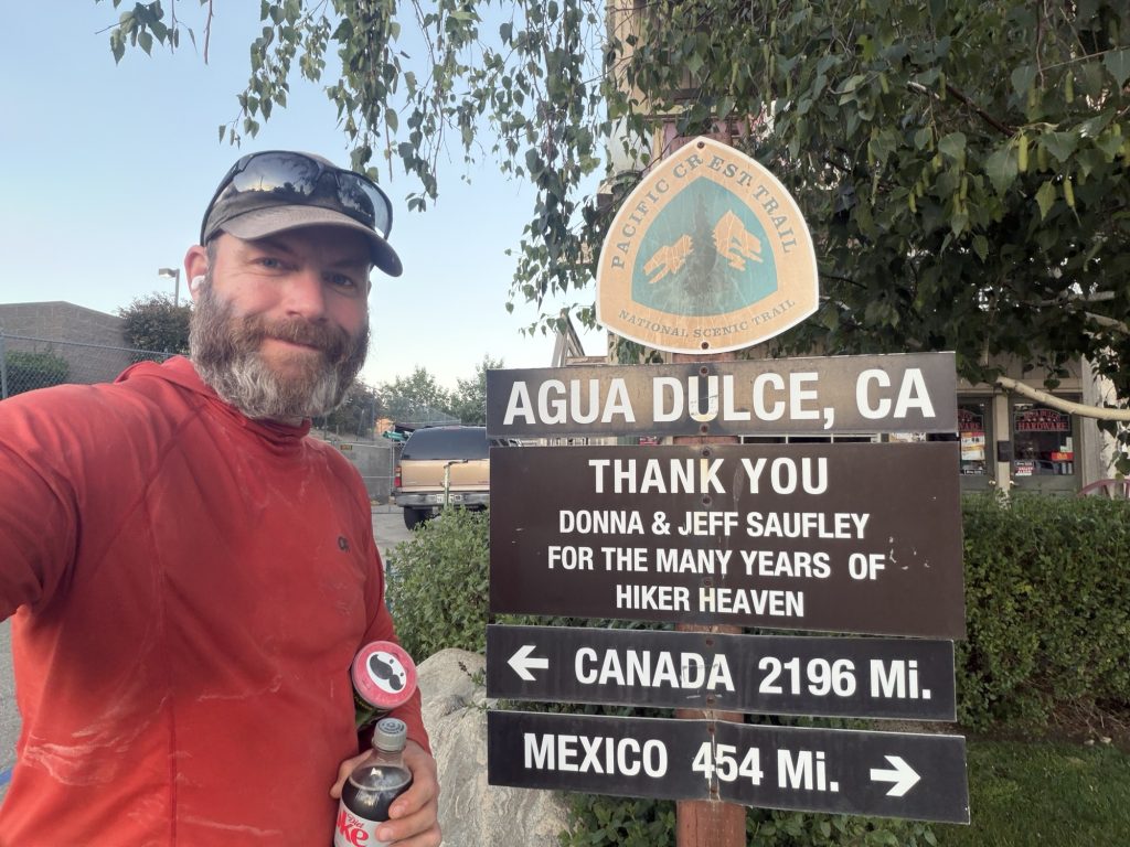
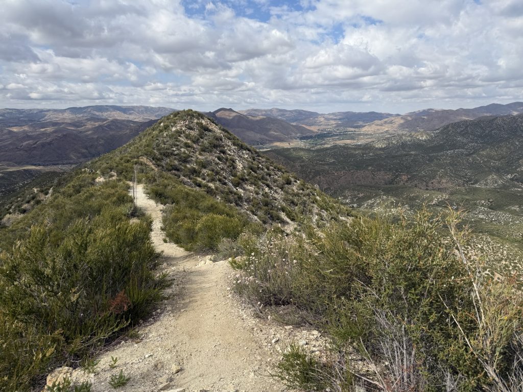
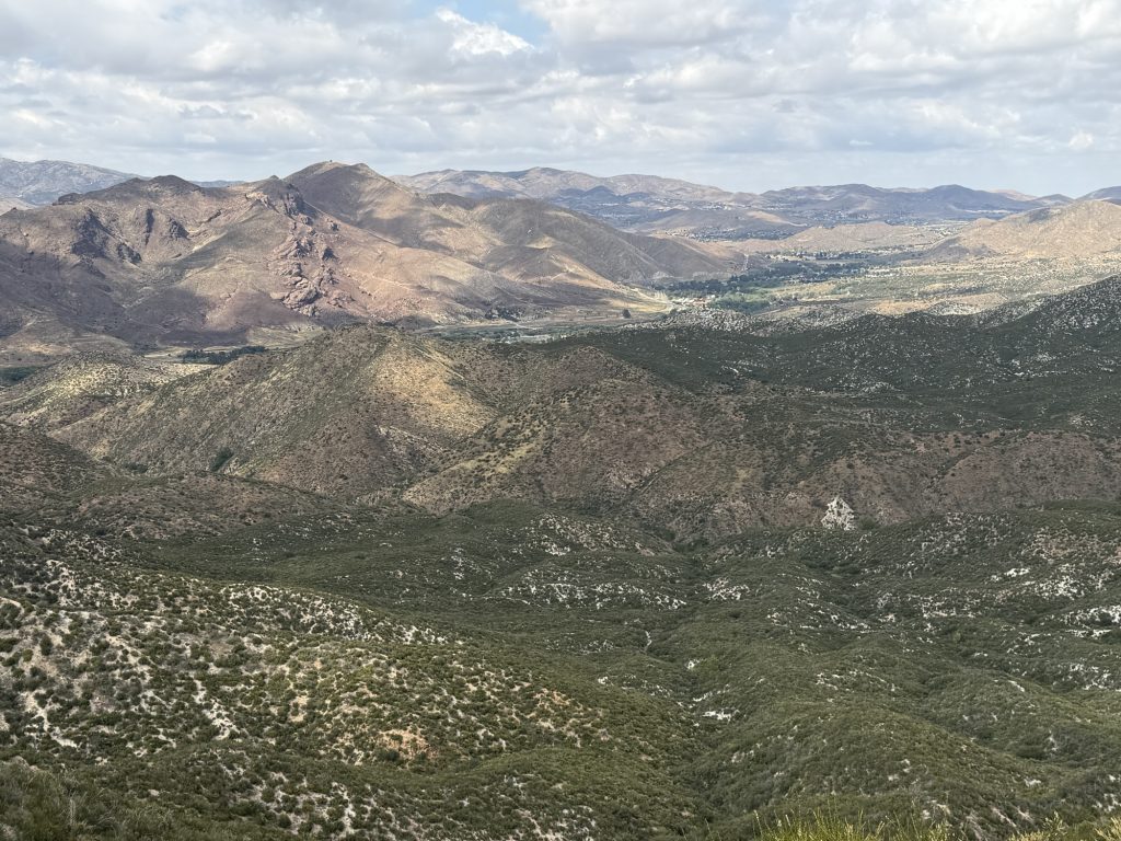
From here it was 11 miles to Agua Dulce the next town stop on the PCT. The temperature rose steadily until it reached 24 C but the steady breeze kept it feeling reasonable as I climbed the desert landscape. Town day meant there was only one thing on my mind… Town Food! And I was hiking with purpose.
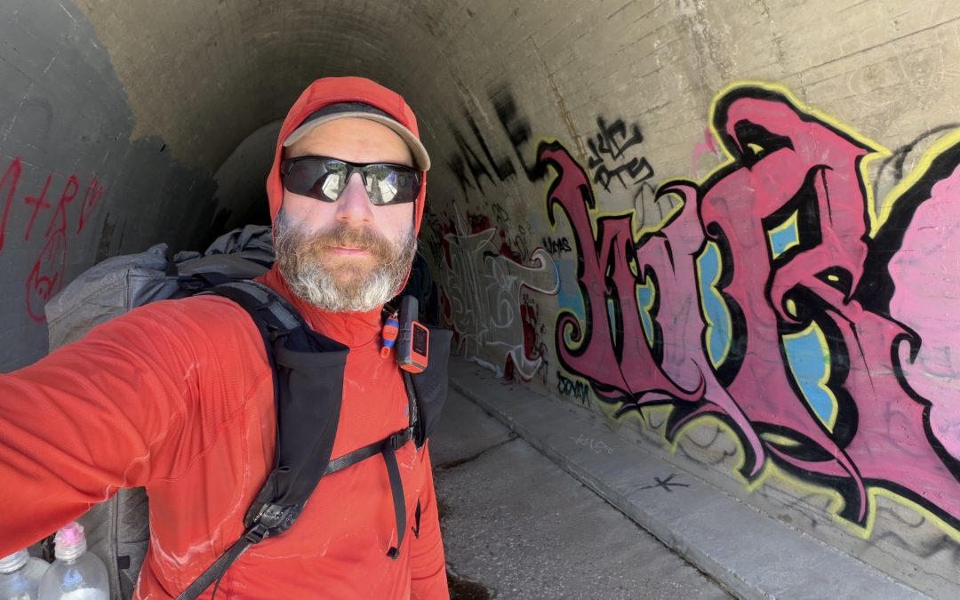
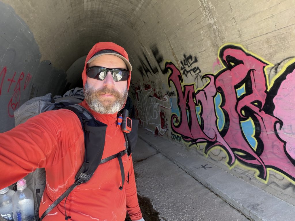
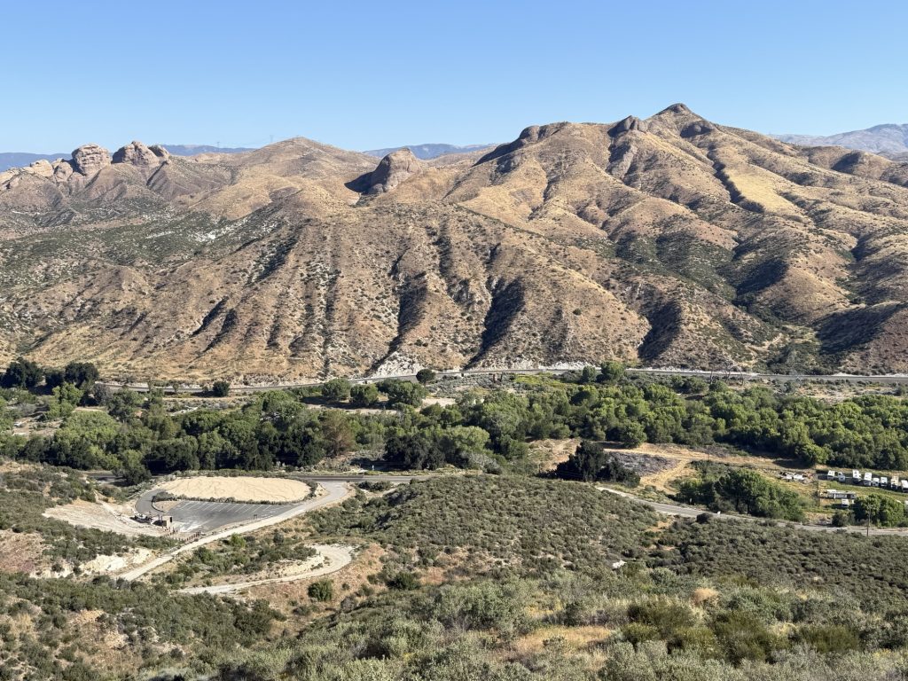
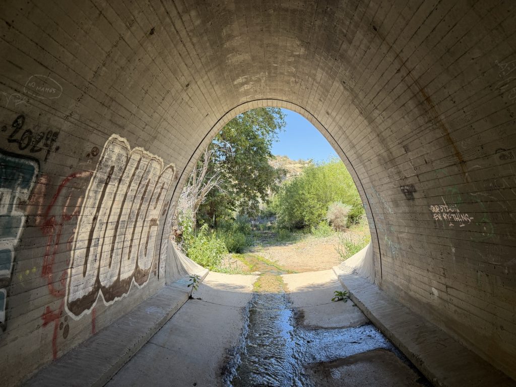
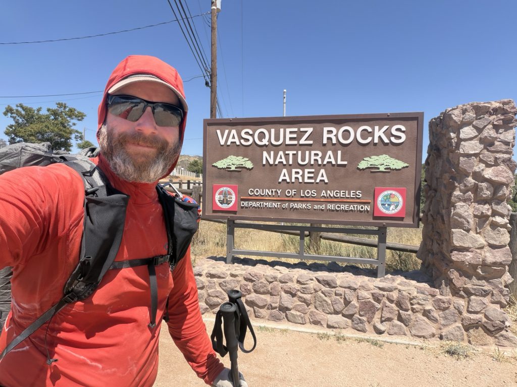
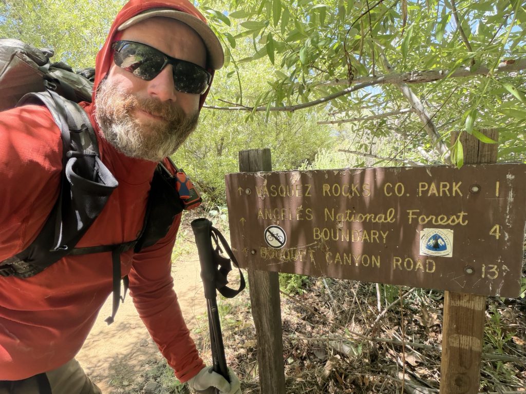
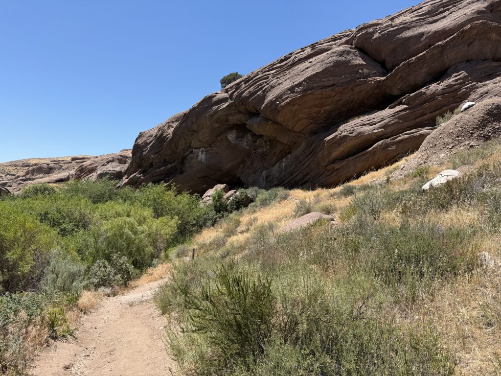
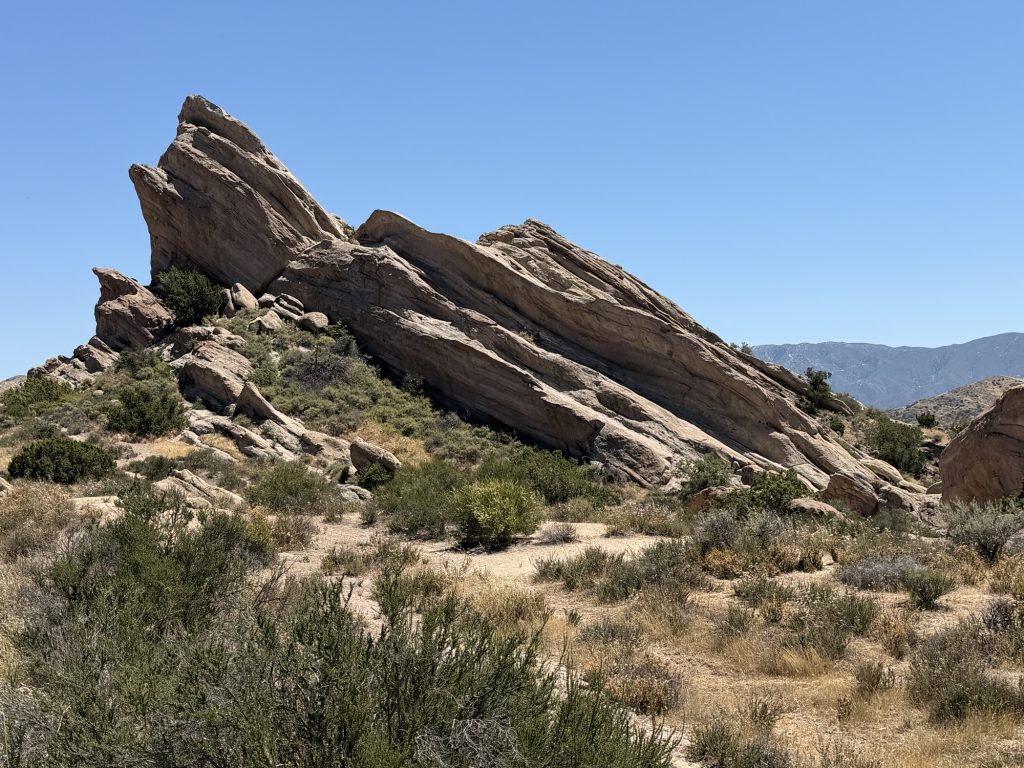
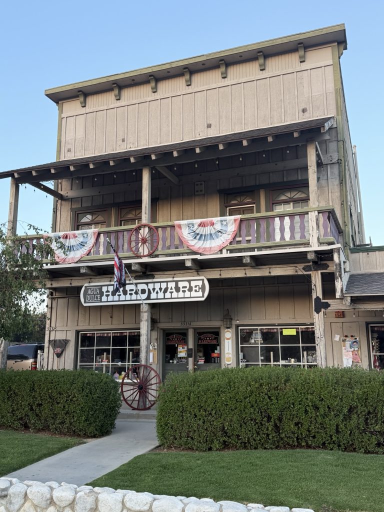
I approached the tunnel that goes under HWY 14 and exited the other side in what almost felt like a different world. Here the trail goes from desert landscape to the Vasquez Rocks County Park and it’s famous rock formations. Many Hollywood movies have been filmed here. The rapid and unexpected change from desert shrubbery to rock canyons and tress was almost jarring. I was easily distracted from the trail and took lots of photos. While walking I noticed one of my trekking pole tips is broken. I know you can replace just the tip but I’m unsure how easy it is to do it. The hardware store has some universal fit replacements so maybe I’ll try my luck. Or maybe I’ll wait until I’m somewhere I can just replace them. I’ve had these ones for a number of years now.
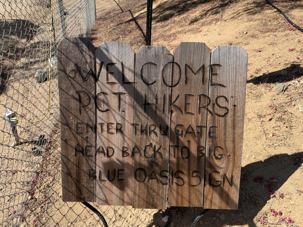
Vasquez Rocks neighbors Agua Dulce and the PCT uses the roads to walk into town. This entire town seems almost like a movie set with various houses displaying numbers for production companies to call if they want to use the property as a filming location. Out on the PCT it’s easy to forget that LA is only 45 mins away. I walked into town and got a cold drink and waited for my friends to arrive.
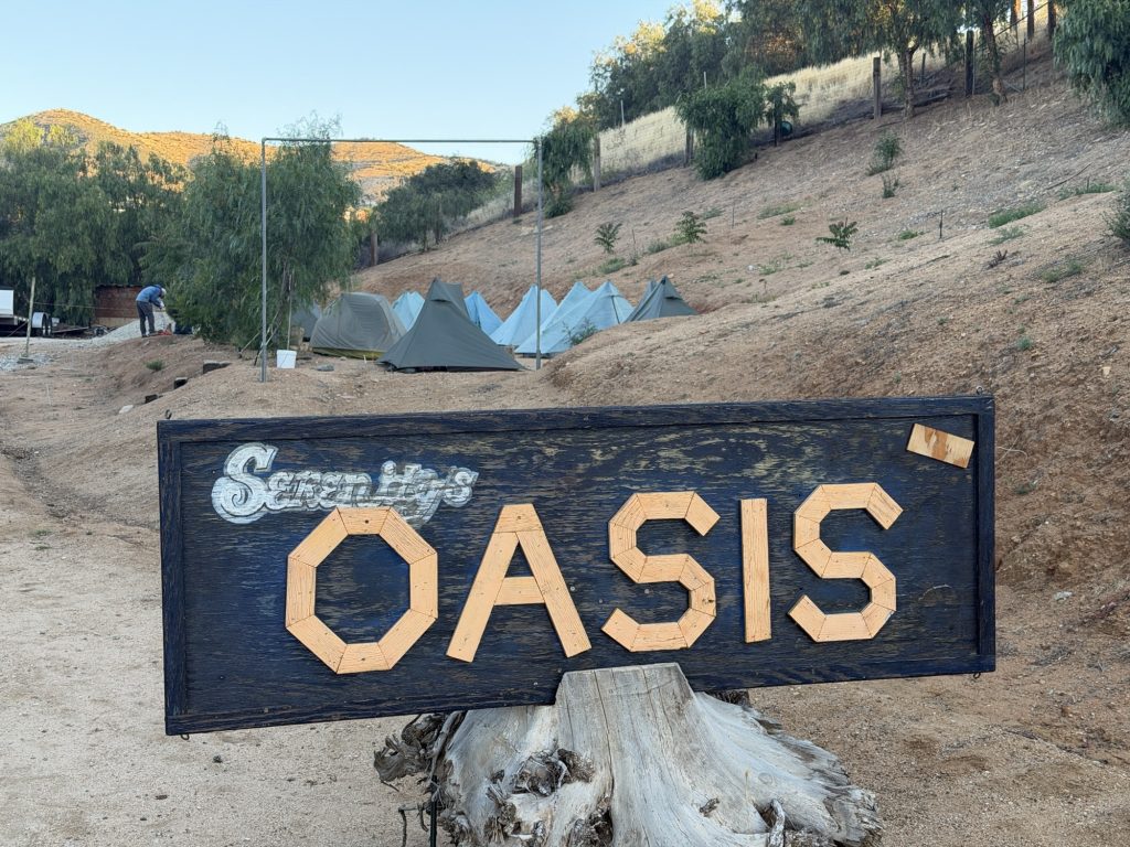
We are staying at Farmer John’s Serenity Oasis on the north side of town. 30$ to pitch your tent, have a shower and do your laundry. There are probably 20 ish hikers here today. On a busiest of days Farmer John says he can have upwards of 60. With only 1 shower and 2 washers and dryers line up’s were the name of the game. I opted to wait until after we had dinner to accomplish these tasks and as a direct result was up past hiker midnight. Despite the line ups this really is an Oasis in the desert and a great place to chill and chat with fellow thru hikers (minus the questionable electrical work).
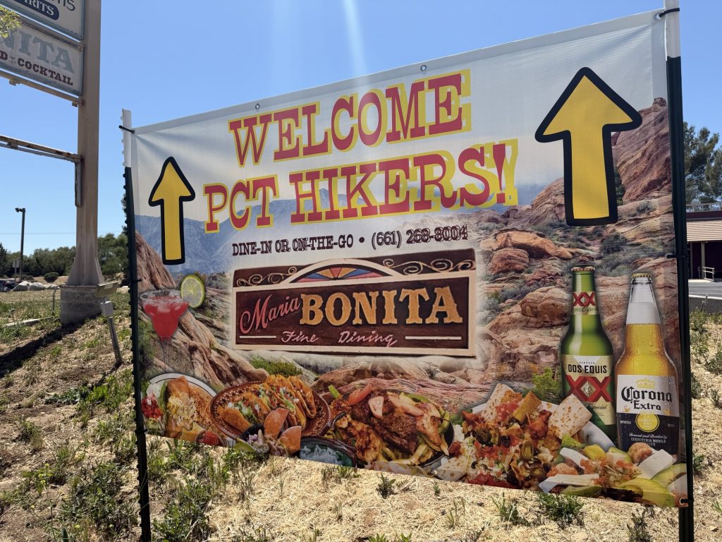
Dinner was at the Mexican Supermarket, which is the only grocery store in town. The food was some of the best Mexican food I have ever eaten and highly recommend.
Tomorrow we will do our resupply and head out sometime in the afternoon. The later the better as they are calling for 29 degrees.
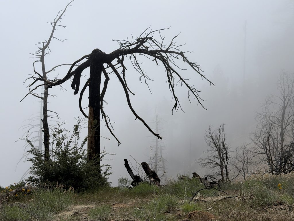
Everything is damp or wet. It rained a lot last night considering the weather forecast was not calling for rain. On top of this I was again sleeping in a cloud. To make it worse it’s cold and I am cold.
I think one of the worst things about Thruhiking is putting on wet cold clothing in the morning. I am not carrying a lot of hiking clothing. I have one pair of pants, one hiking shirt (sun hoodie), two pairs of underwear and two pairs of socks. So when something gets wet it means embracing the suck of putting it back on wet the next morning and hoping the sun comes out to dry it out.
We set off around 0730 this morning still mostly encased in clouds. We found a “sunny” spot shortly after where the group decided to stop for breakfast. I was too cold to stop and continued on by myself.
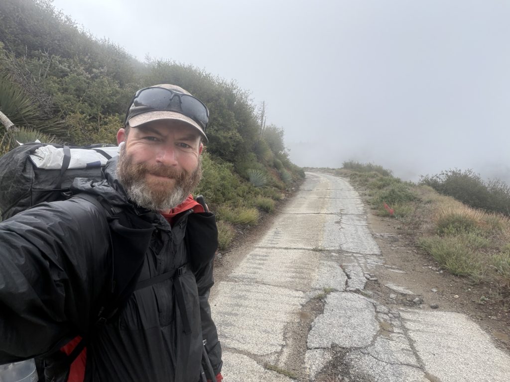
Another miserable thing about rain is hiking the next morning when none of the trees, shrubs or grass has had an chance to dry. This is amplified when the trail is over grown and let me tell you today there were many long sections of overgrown trail. It’s basically like walking through a constant cold car wash. Everything I was wearing was wet with water sloshing along in my shoes.
I had enough of the abuse the trail was tossing at me and made my own alternate route. I came up to a forest service road that more or less ran parallel enough to the PCT and took it. That meant more mileage and more elevation gain but it was worth it to dry off just a bit for a while.
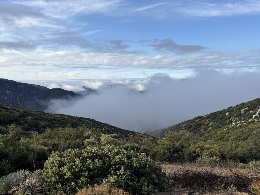
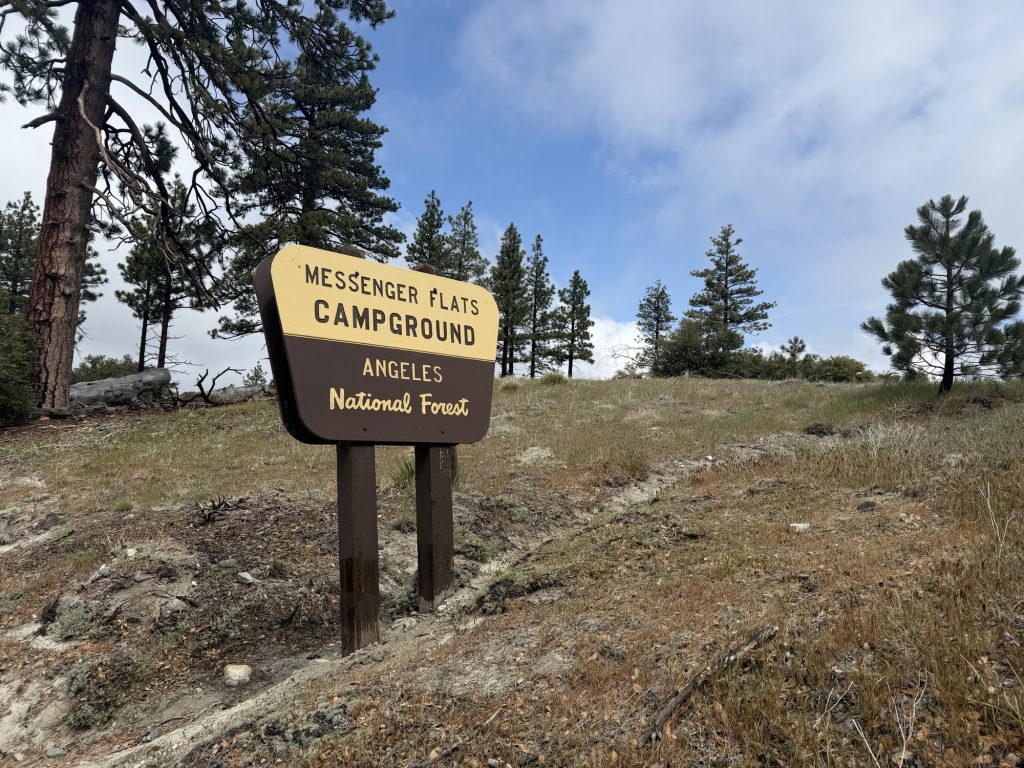
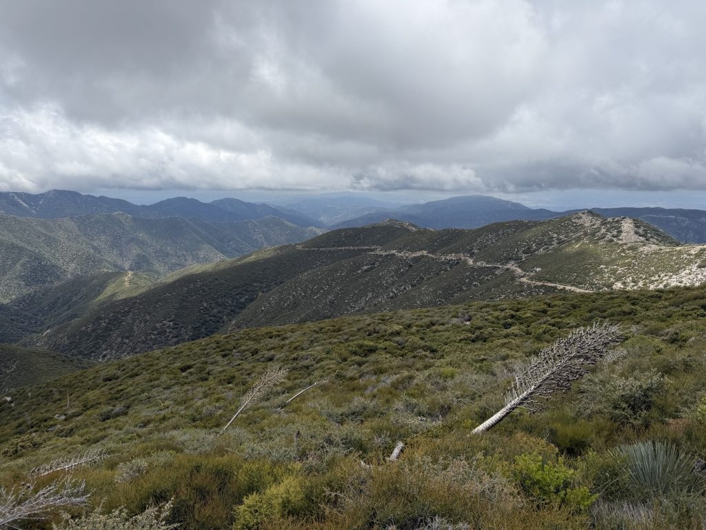
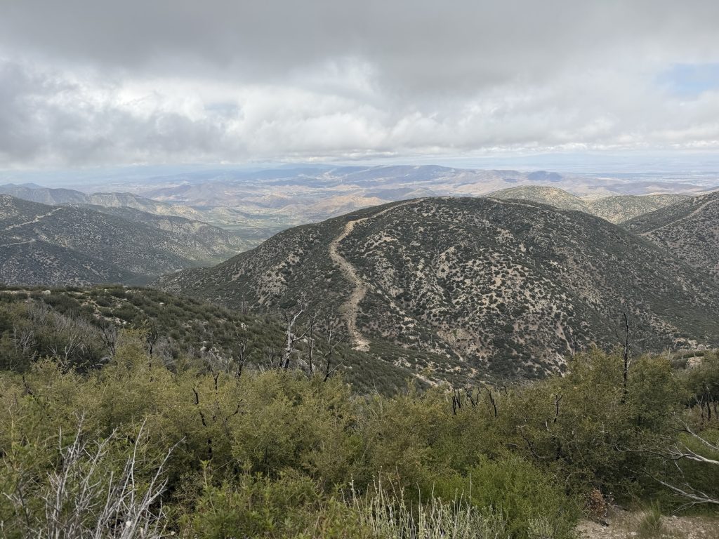
The road eventually brought me to Measenger Flats Campground where I planned to have lunch. The wind was blowing strong freezing me to my core. I ate as quickly as possible and continued on my way. From here the trail started to mostly descend and slowly the temperature began to rise. I think mentally the hardest part of all of this is that I could see the sunny valley below all day despite being trapped in or around the clouds.
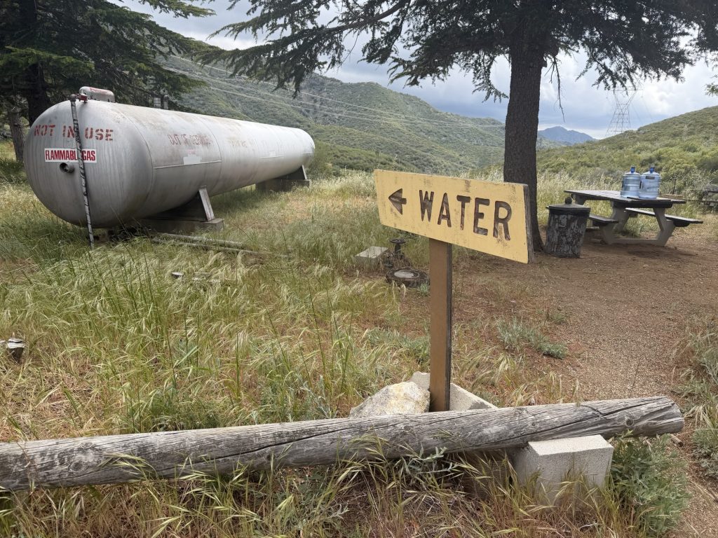
I arrived at the North Fork Ranger Station and the more or less abandoned day use area beside it. The sun was out when I arrived with a strong wind. I took out my tent and sleeping bag to try and dry them out. Of course as soon as I did the clouds came back. The wind was howling and I was getting cold so I packed up and continued on my way.
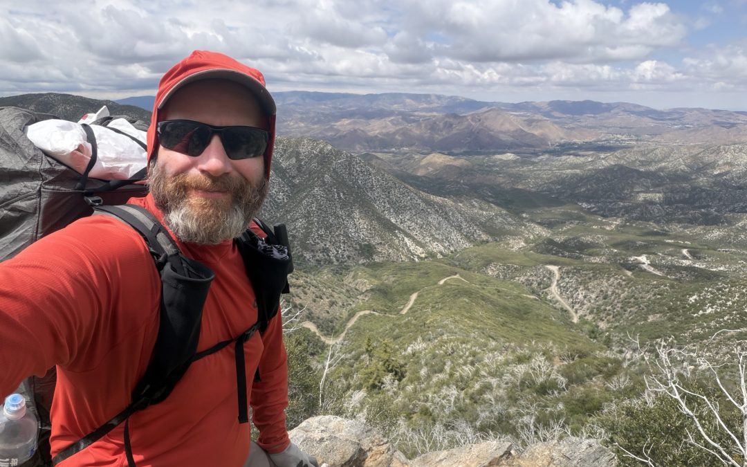
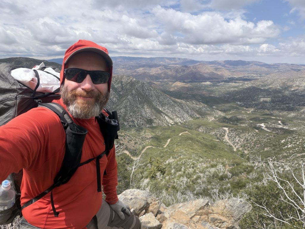
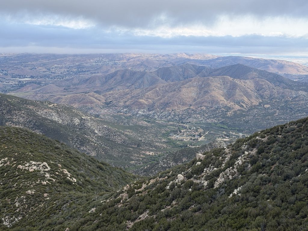
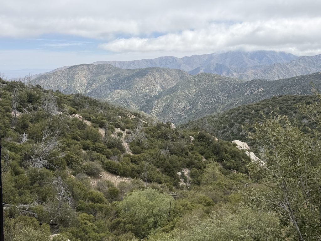
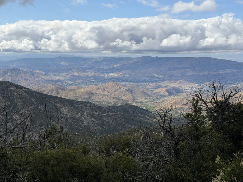
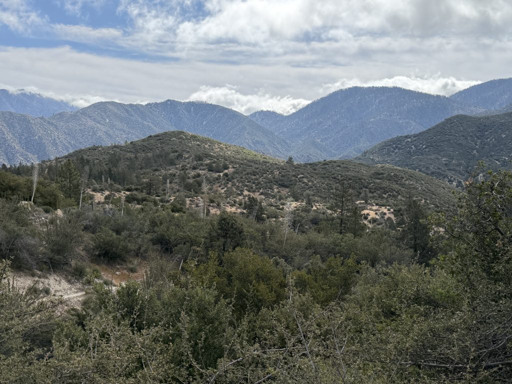
Finally I was really starting to descend into the valley and the temperature began to really increase. For the first time today I felt warm… then too warm… the views as I decended were incredible. I arrived finally at Mattox Canyon Creek where I would be camping today. I guess everyone else had the same idea because there were a dozen or so other people all ready set up. Fortunately I found one of the few remaining spaces set up camp and got to actually dry out my gear.
An hour and a bit later the trail fam arrived Including Alligator who crushed an amazing 40+ kilometer day to catch up with us. Dinner was had (I ate two packs of Ramen noodles – a thruhiker staple) and plans for tomorrow were made.
Tomorrow is a town day as we will arrive in Agua Dulce for a much needed resupply day. It will be an in and out with no planned zero.
The temperature is going to increase significantly over the next few days. So I’m sure I’ll be complaining about the heat instead of the cold.
I awoke this morning after one of the better sleeps I have had still in the clouds. It didn’t rain last night but everything was just slightly damp. Unfortunately because it was cold and cloudy all day there wasn’t much opportunity to really dry anything out. The weather is playing a bit of a game of extremes. Today, with the windchill it’s -5 Celsius and In just a few day it will be over 30.
Despite the decent night sleep my body was protesting getting out of bed to hike and everyone kinda felt the same. After a few short miles we all stopped longer than we aught to for breakfast then started the first ascent for the day. I shared some hardstyle beats with one of the tramali members to help put some energy into our walk.
The trail itself had relatively easy inclines and declines and I averaged near a 3 mph moving speed. We had a late lunch near the Mill Creek fire station where the wind was howling making the experience quite cold. There are not a lot of good camping options in the next few miles and the clouds were beginning to look angry so we settled on the closer campsite that reportably had better wind cover. I’m glad we did because shortly after setting up camp it began to rain… even tho the forecast wasn’t calling for any.
My ankle is doing well but my calf muscles were on fire today. I think i have been wearing the compression sleeves too much so I’ll try hiking without them tomorrow.
I have now been on the trail for 30 days! It’s incredible to think how far I’ve come. Time seems to be flying by!
First 30 days
Total mileage walked: 388.45 miles / 625.1 kilometers
PCT Day 29 – PCT mile 383.9 to 404.3 via Alternate Route
May 3, 2026
Total PCT miles: ????
Non PCT miles: ????
Total: 18.2 miles / 29.3 km
Total elevation gain: 2828 ft
Total elevation loss: 4429 ft
Steps: 39796
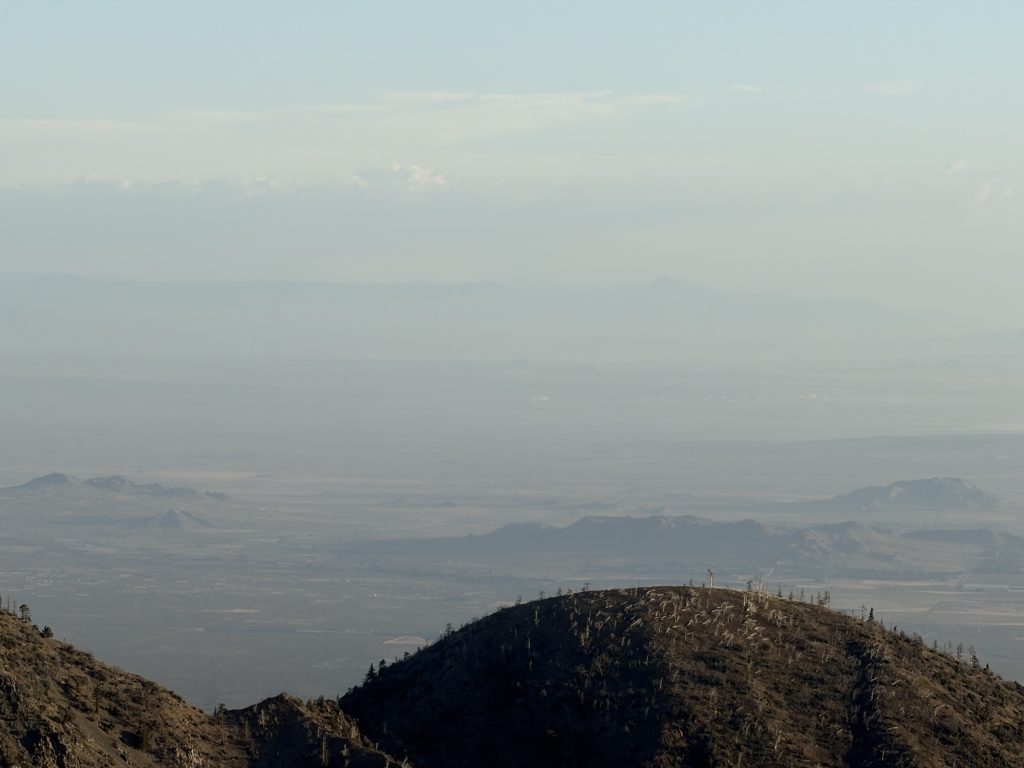
Woke up this morning with a beautiful view. In the far off distance standing at 14 thousand feet and about 250 kms away I could see Mt Whitney. Hopefully I will get the chance to summit this mountain in about a months time! Although not officially part of the PCT many thruhikers make this side quest to the tallest mountain in the lower 48 states. After a bit of a lazy morning and breakfast our group was on the trail at about 0800hrs.
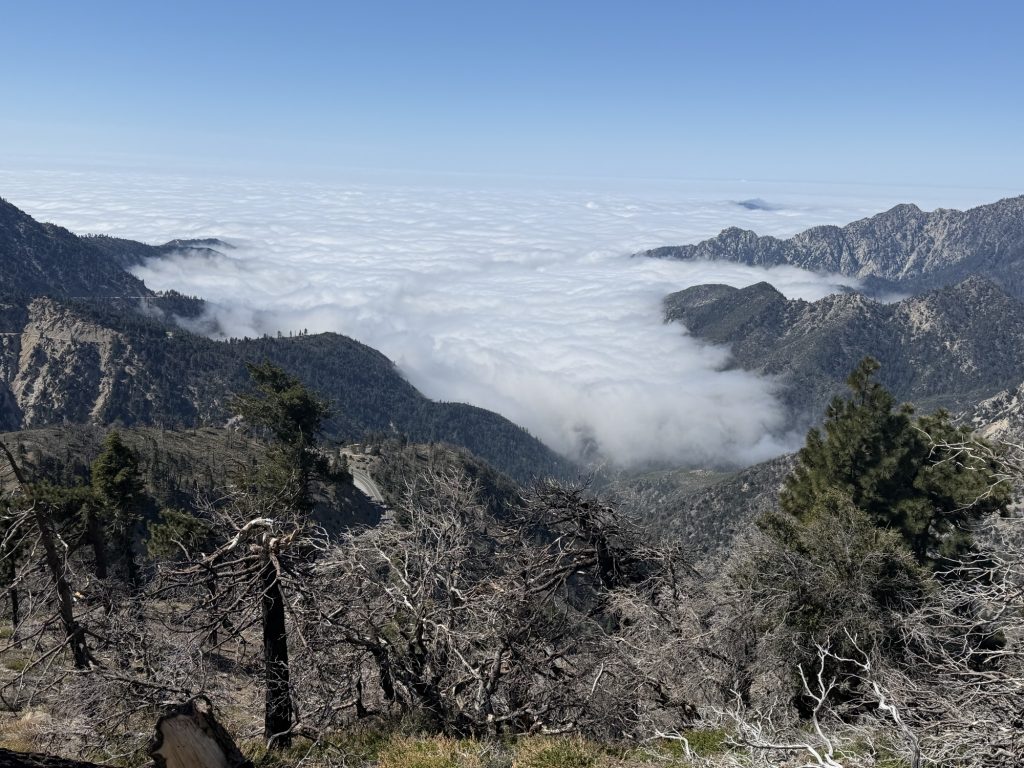
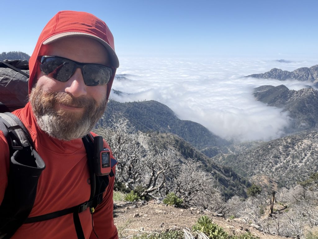
Cloud inversion – I must have stoped a dozen times to take photos
The only real acent for the day came early on while my legs were still aching from yesterday. The trail climbs almost to the peak of Mt Williamson but I chose to not make the final climb and just continue along the PCT. The views of the cloud inversion from the trail were incredible and I stopped several times to take it in.
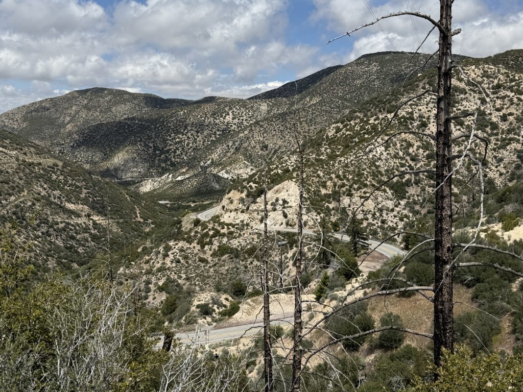
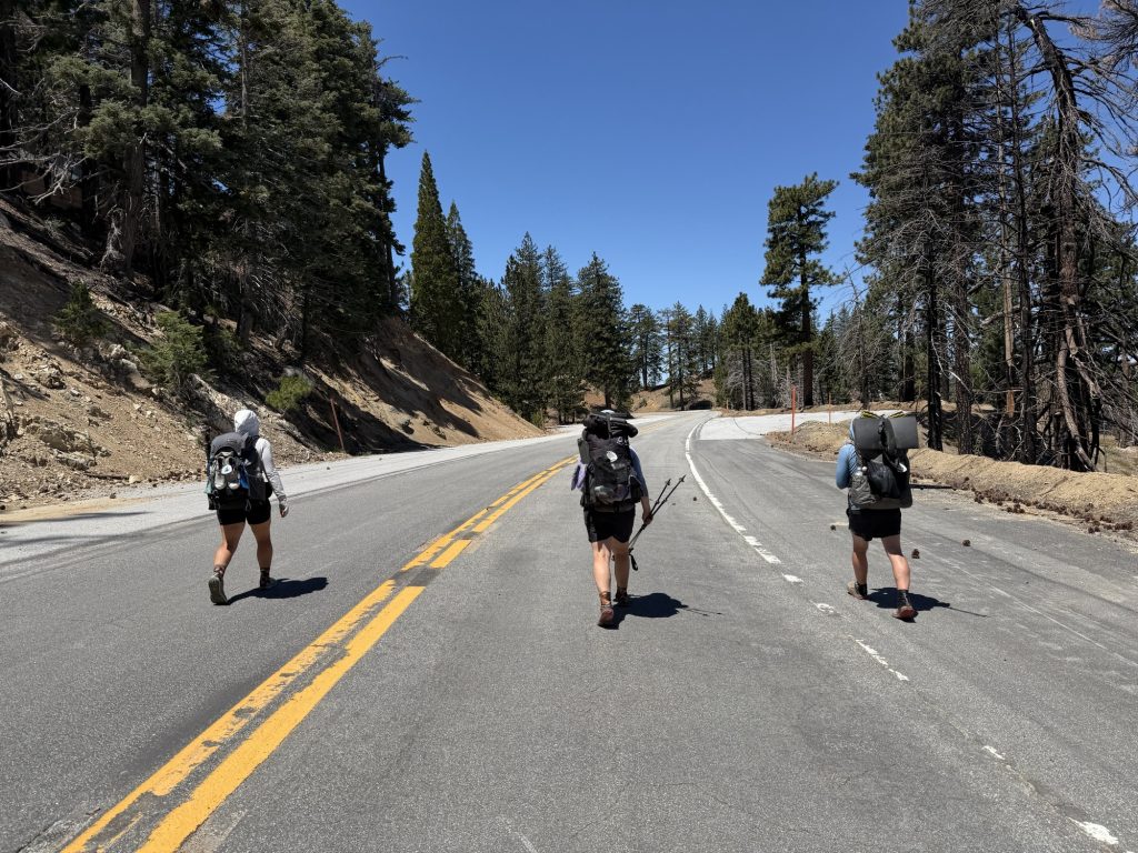
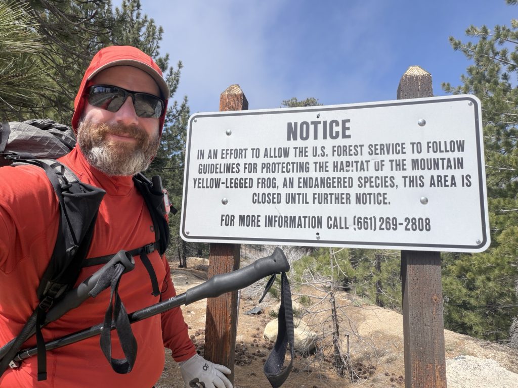
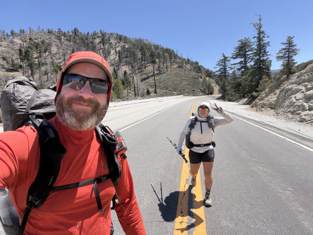
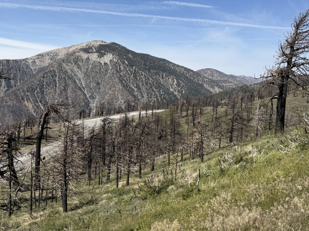
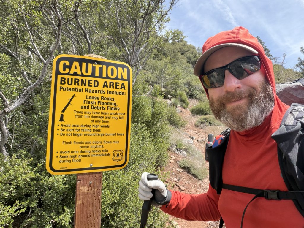
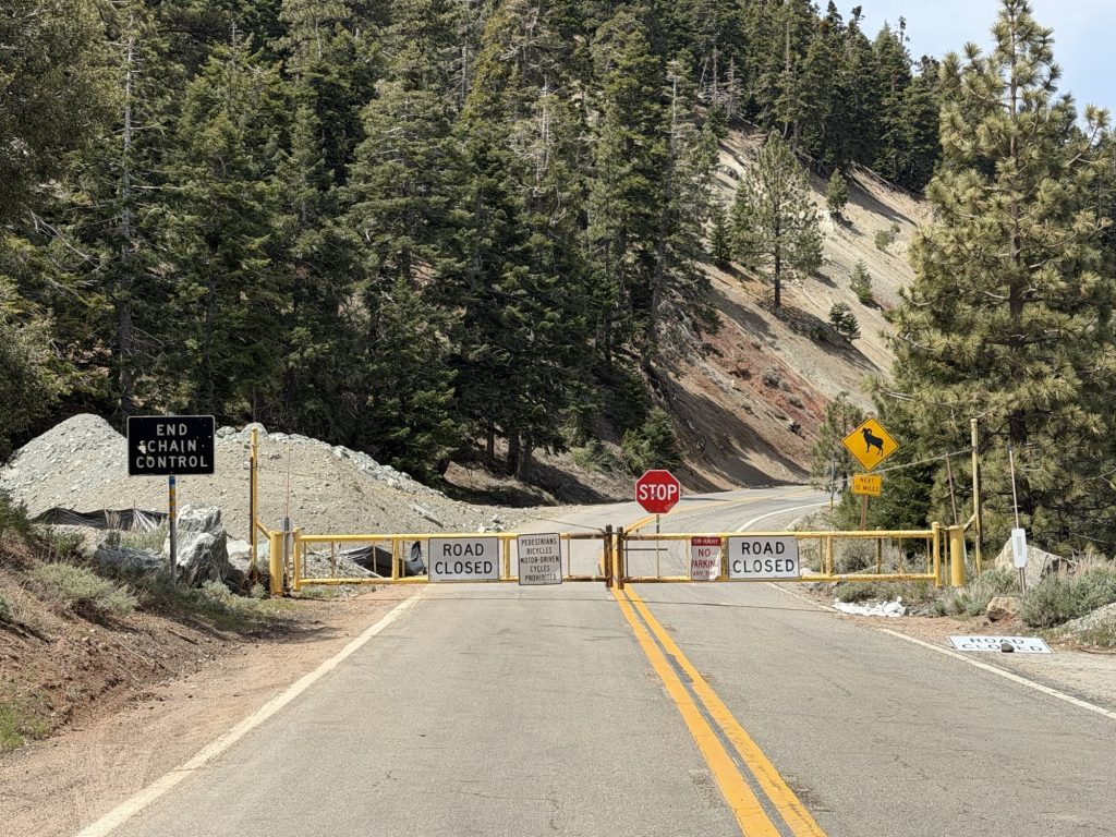
Arriving back at Hwy 2 the group decided to road walk until it rejoined with the PCT later on. The Hwy is presently closed due to multiple washouts and just up the way you must take it anyways due to a long standing closure to protect the endangered mountain yellow-legged frog and its critical habitat. This closure has been ongoing for as long as I have known about the PCT and forces hikers to walk the highway for a few miles. Walking down the middle of the road with no fear of cars made me feel like I was in some sort of post apocalyptic zombie world. The shoulders are very narrow in places and I could not imagine doing this while sharing the road with vehicles. Even more so because people are known to test out their sports cars on this twisty turny mountain road.
There are 2 real places you can rejoin the PCT. We skipped the first one because the trail is washed out in sections. Due to the road walk we probably walked 2 less miles. But when you have 2650 or so to do who’s counting?
After rejoining the PCT I passed the 400 mile marker! I think I am finally starting to believe that I can actually maybe complete this thing. Wild! Despite injury and obstacles I’m still out here doing it and I’m excited for for what the next day brings.
Next up was Camp Glenwood which is a cabin in the middle of nowhere’s that I have no idea what the purpose is. There were two guys here who gave us some lemon cookies but apologized that they were all out of Penut butter and Jam sandwiches.
It’s in this area where the highway is open again and as I passed a parking lot I saw 3 “supped up sports type cars” that would later fly past me on the highway with someone holding their phone out the window recording.
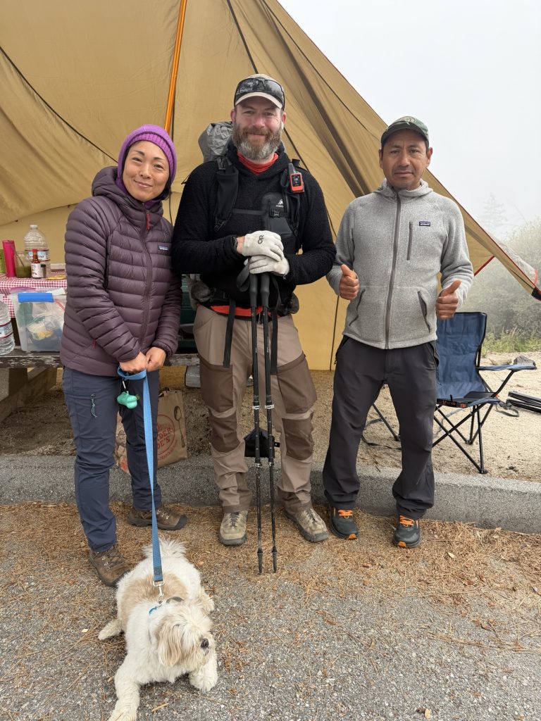
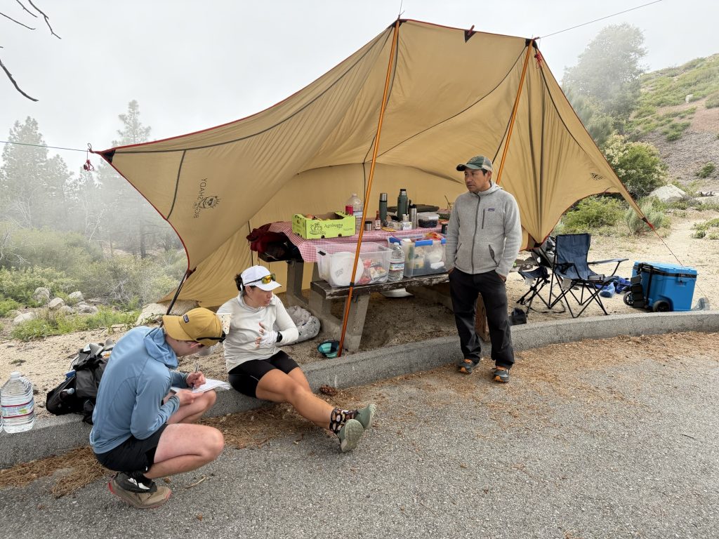
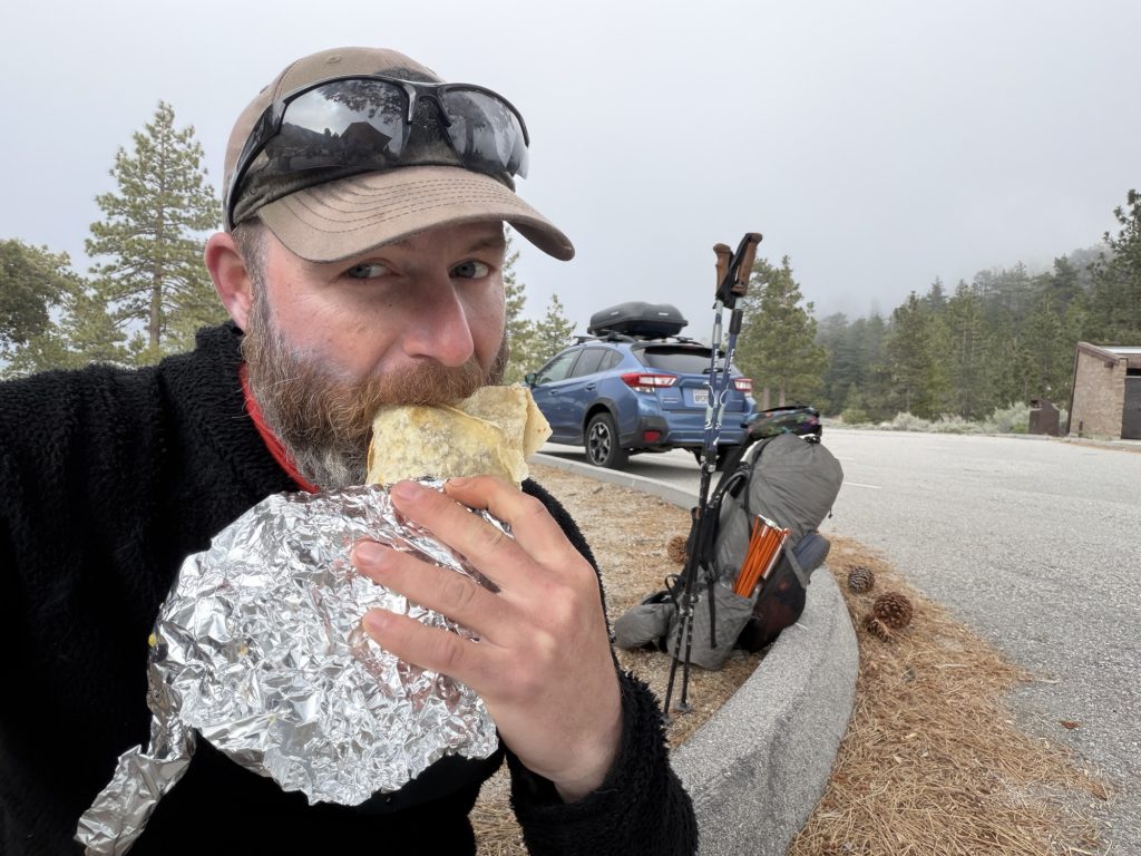
Then as I came into the next parking lot trail magic appeared! Celso and Finch were set up serving delicious burritos, fruit, cold or hot drinks and had many other hiker essentials. They had near 30 hikers stop in today which is wild to me because it has felt so quiet on the trail. Massive thank you to these wonderful people for this.
Our camp site for the night was just 1.2 miles away from here. It’s going to be about 4 degrees tonight while we basically sleep in the same clouds that looked so beautiful earlier today. The next two days are going to be well below seasonal temperatures and then the weather looks like it will warm up sognificantly.
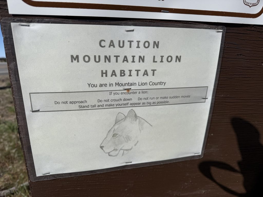
Hard to tell in this photo but you can see the snow peak of Mt WhitneyApparently the mountain lion is so elusive they couldn’t find a photo and used a sketch instead….Mmmmm trail magic!Clouds rolling in our tent site
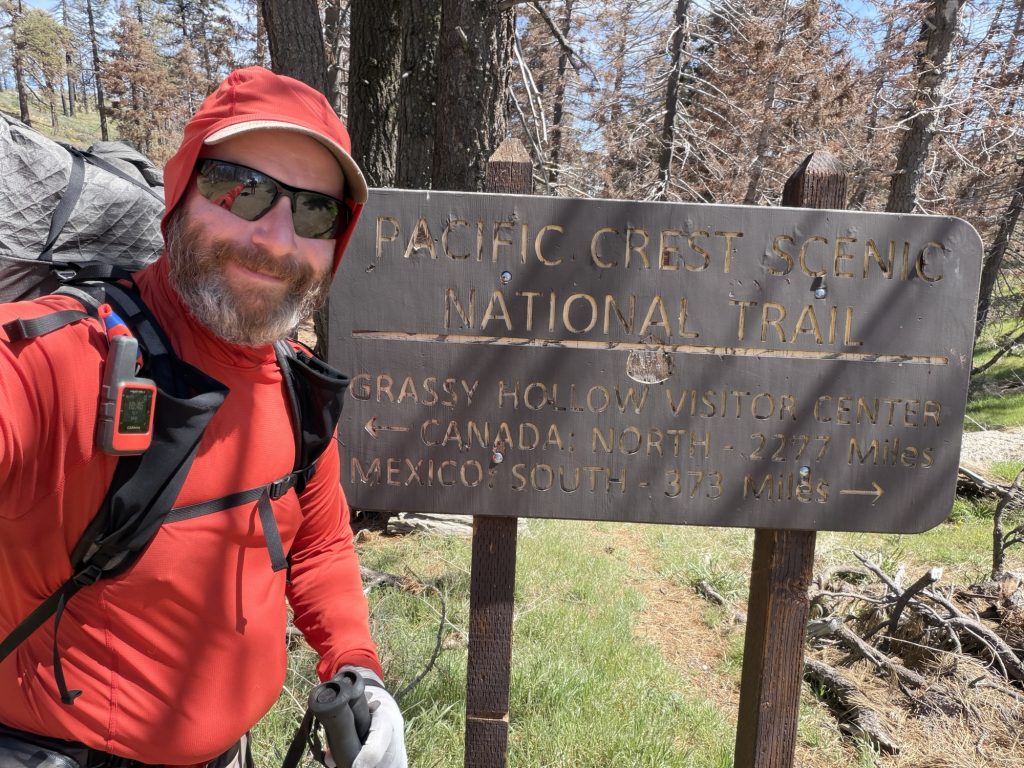
PCT Day 27 & 28 – Zero in Wrightwood to PCT mile 383.9
May 1 & 2, 2026
Total PCT miles: 14.6
Non PCT miles: 0.8
Total: 15.4 miles / 24.78 km
Total elevation gain: 4419 ft
Total elevation loss: 4213 ft
Steps: 38501
May 1st – Zero Day in Wrightwood.
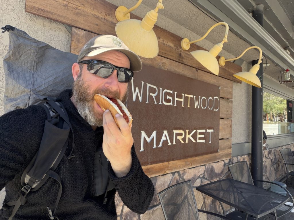
Nothing better than a free hot dog!
You would think that with a nice comfortable bed for the first time in a week and a nice hot shower one would sleep like the dead. But I did not. Apparently it’s not unusual for thru-hikers to sleep poorly in their first night in town. Today was town chore day in Wrightwood but first a giant breakfast at the Grizzly Cafe. Wrightwood is an extreamly hiker friendly town. Several shops offer discounts to PCT hikers and the Wrightwood Market even gives PCT hikers a free hot dog (it was delicious). The hardware store has a lot of items a hiker may need and normally gives free pins to hikers but they didn’t have any.
I got a new tyvek ground sheet to protect my tent and air mattress and 4 key ring holders to better secure the inner and outer of my tent. I’m hoping this makes it easier to set up and put away. I hit the grocery store and Market to do my resupply for the next 5 days. The only single complaint I have about the town is that the grocery store is excessively expensive. I should have done as much of my resupply as possible from the market which is basically a gas station.
I returned to our chalet and did remaining chores – laundry, gear maintenance Etc and caught up with people back home.
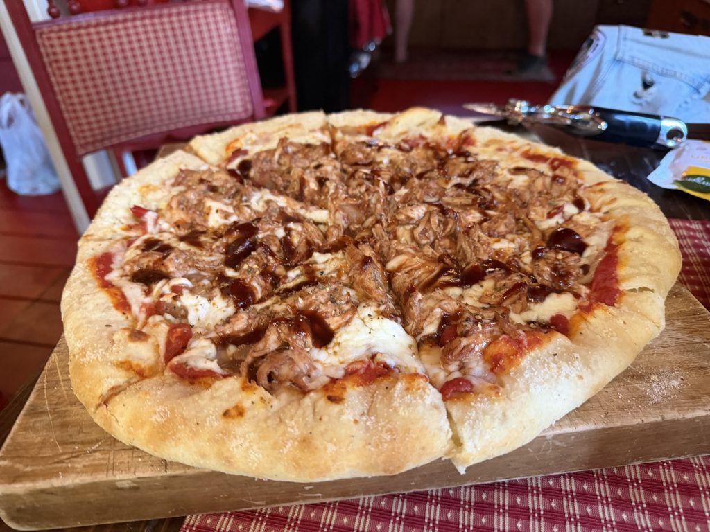
Dinner was an absolute feast of home made pizza with crust cooked from scratch by Sage. The pizzas just kept coming and they were absolutely delicious. Afterwards we soaked in the hot tub before going to bed well past Hiker Midnight (2100 hrs).
May 2, 2025
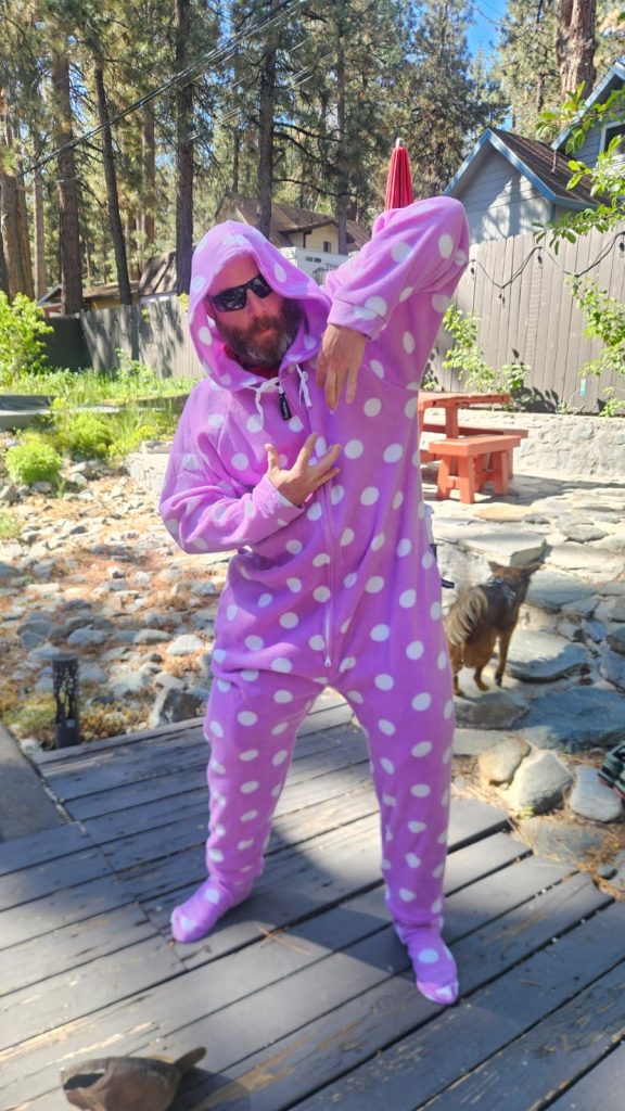
We were up at 0700 to pack all our bags and get ready for the day. A last home cooked town meal of bacon, eggs, toast and avocado really hit the spot and would provide the fuel we needed to summit Mt Baden Powell. The owner of the property stopped by. She is known as Pajama Mama to hikers because of the onesies she provides so hikers can do their laundry. She coordinates a lot of accommodations for many hikers at various properties she owns at a very reasonable price.
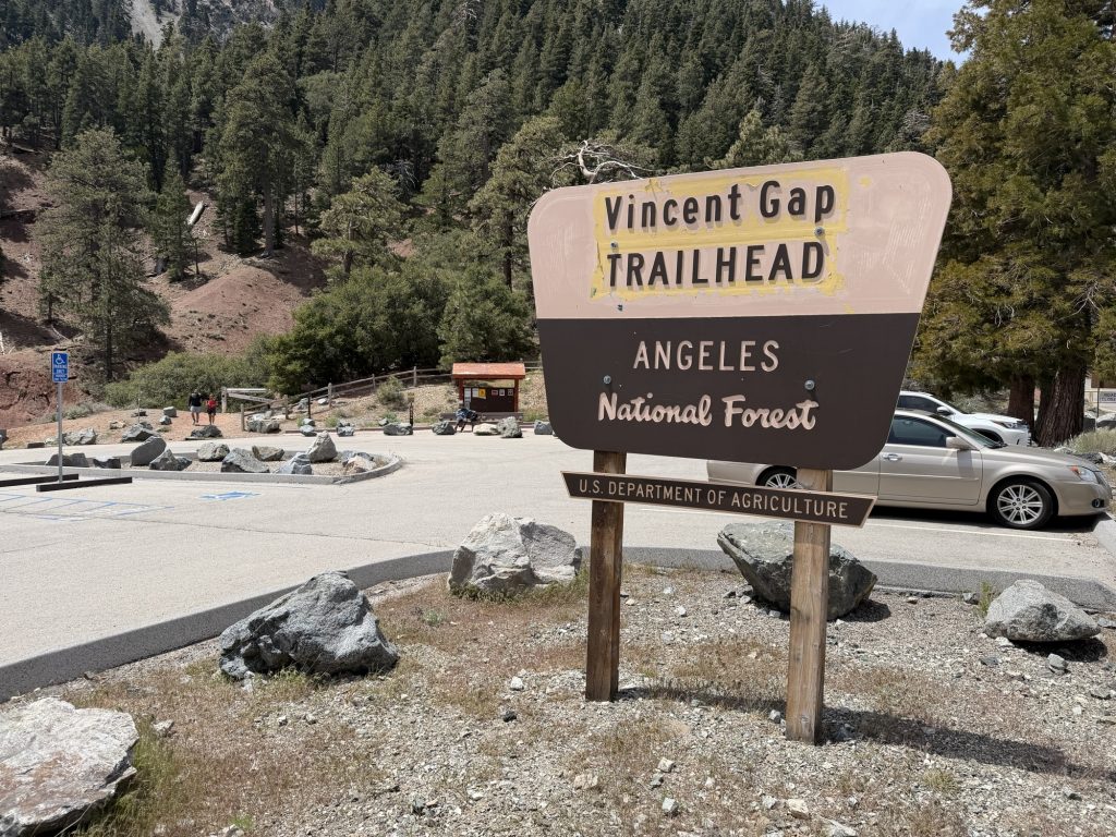
It was time to leave but I really wish I could have stayed another day and just relaxed. But the miles sadly wont hike themselves. We were dropped of at the trail head by Sierra and were on the trail at 10:30. Huge thank you goes out to Sierra a Gwen for all they did for us over the last two day!
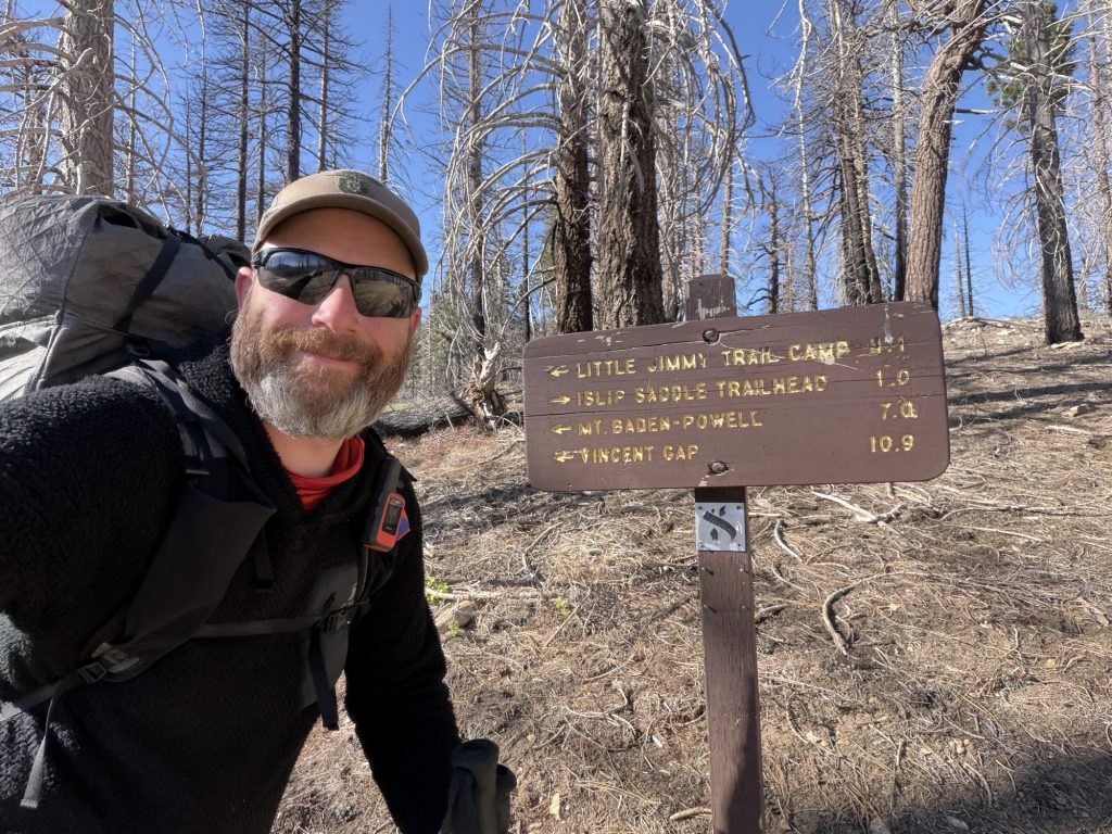
The first few miles were easy but then came Baden Powell. This is one of the last bigger obstacles before the Sierra. The challenge is made even larger by the fact that I have a full resupply making my bag extra heavy. There were a lot of day hikers going down as I hiked up. A few stoped to chat and I was happy to take the breaks to catch my breath.
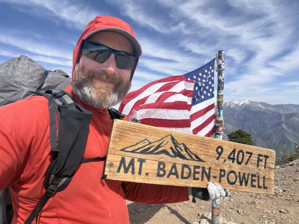
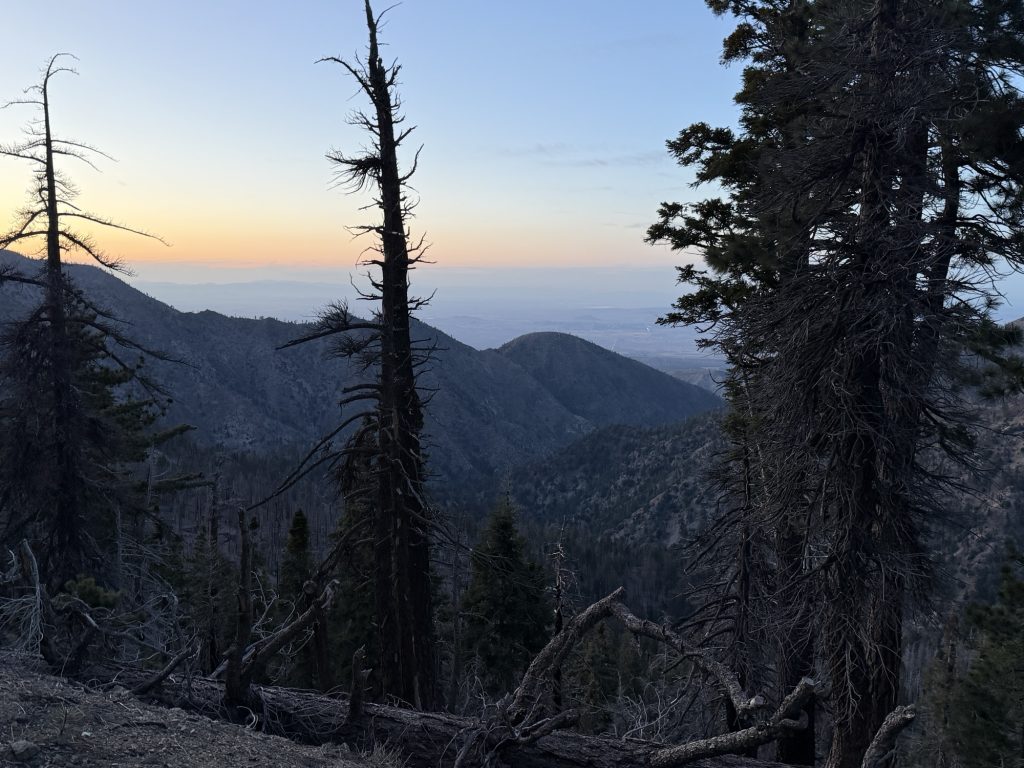
As I ascended the views got more and more impressive. To the north nothing but flat desert. To the south hills and mountains. There were a few “sketchy” spots due to recent snowfall but nothing too tricky. I reached the summit around 1500 with the crew and we took a short break. There were still 6 miles and significant elevation to go and daylight was not on our side.
These miles were long and tiring and mostly up around 8000 plus feet. There were a few more snow patches that required careful navigation or if you were Sage some trail blazing. We got to little jimmy creek around 1830 filtered water and arrived at camp shortly after.
We are at Little Jimmy Campground that has picnic tables, pit toilets and bear boxes. It’s a large area with more PCT hikers than I’ve seen together my entire trip. Maybe the trail isn’t actually a complete ghost town.
We set up our camp and had a beautiful view while enjoying our well deserved dinner. The weather is expected to get much colder over the next few days. So hopefully we can get lower in elevation.
Hwy 2 is closed past Vincent Gap due to severe washouts. Normally in bad snow years PCT hikers can skip Baden Powel by walking the road.